Elevation of Road 44.8, Rd 44.8, Saguache, CO, USA
Location: United States > Colorado > Saguache County > Saguache >
Longitude: -106.18035
Latitude: 37.984021
Elevation: 2352m / 7717feet
Barometric Pressure: 76KPa
Elevation Map:
Satellite Map:
Related Photos:
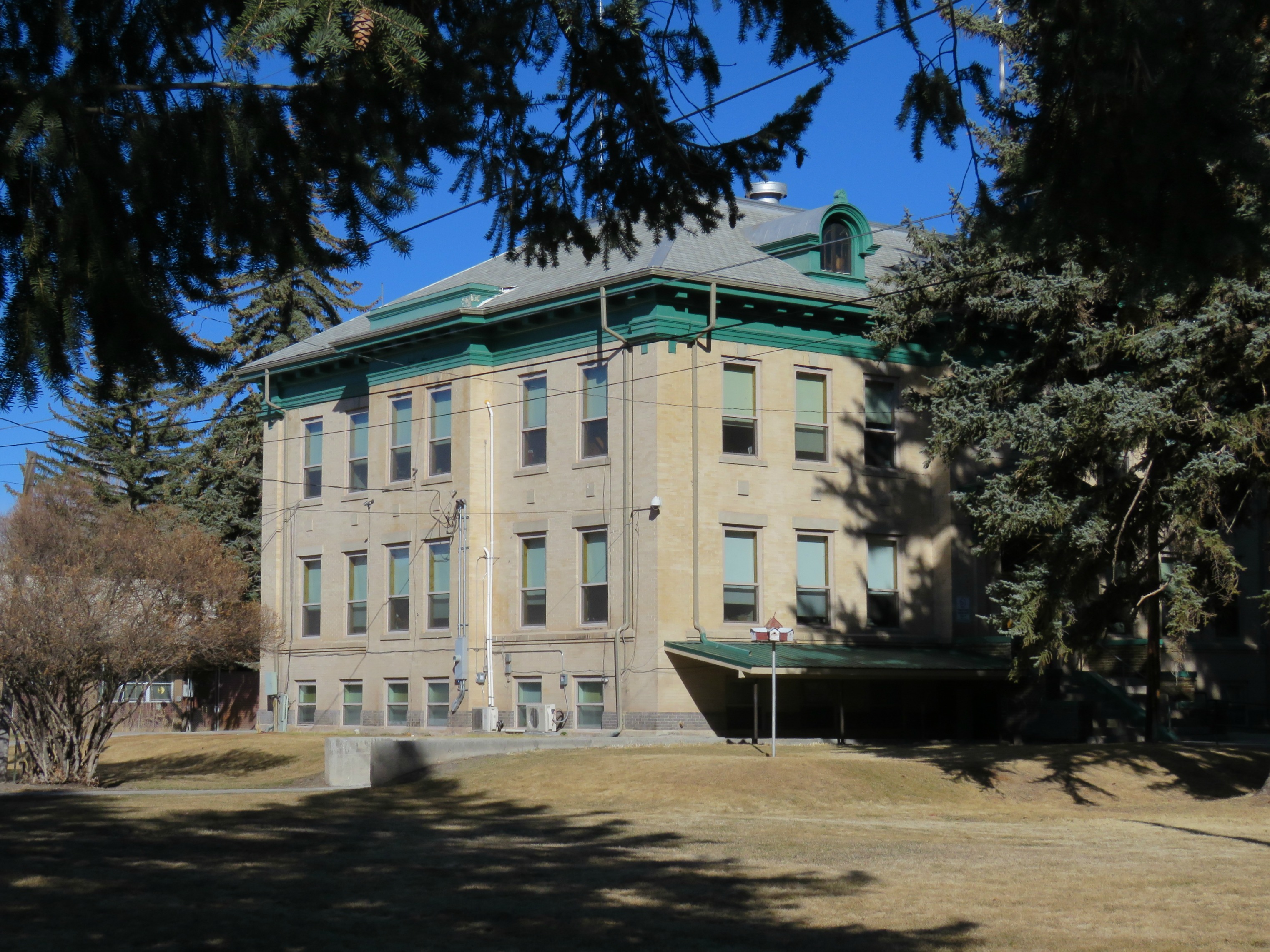
Saguache County (Colorado) courthouse
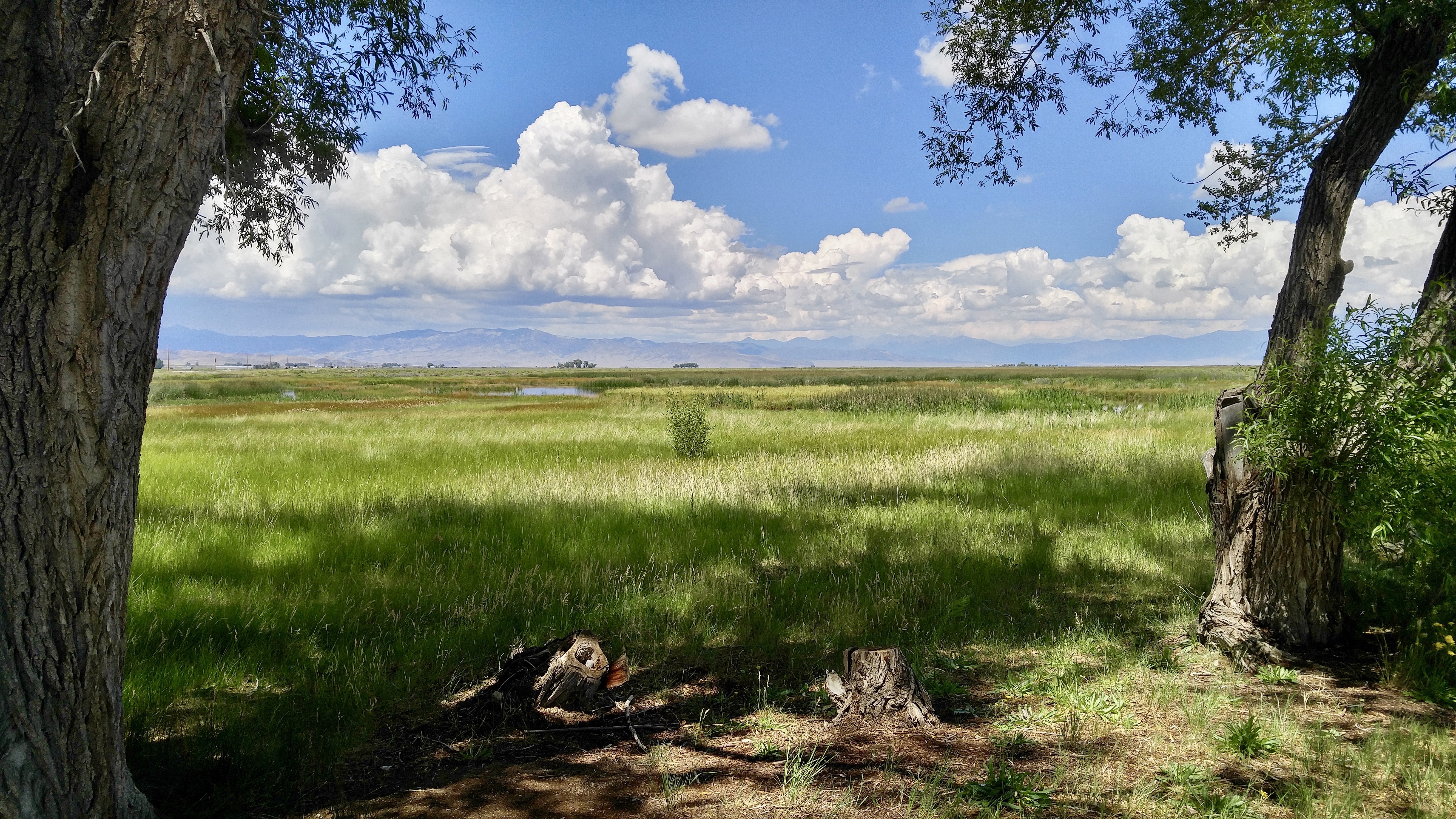
Russell Lakes SWA
County Road X just east of CR 50
Sangre de Cristo Mountains Panorama
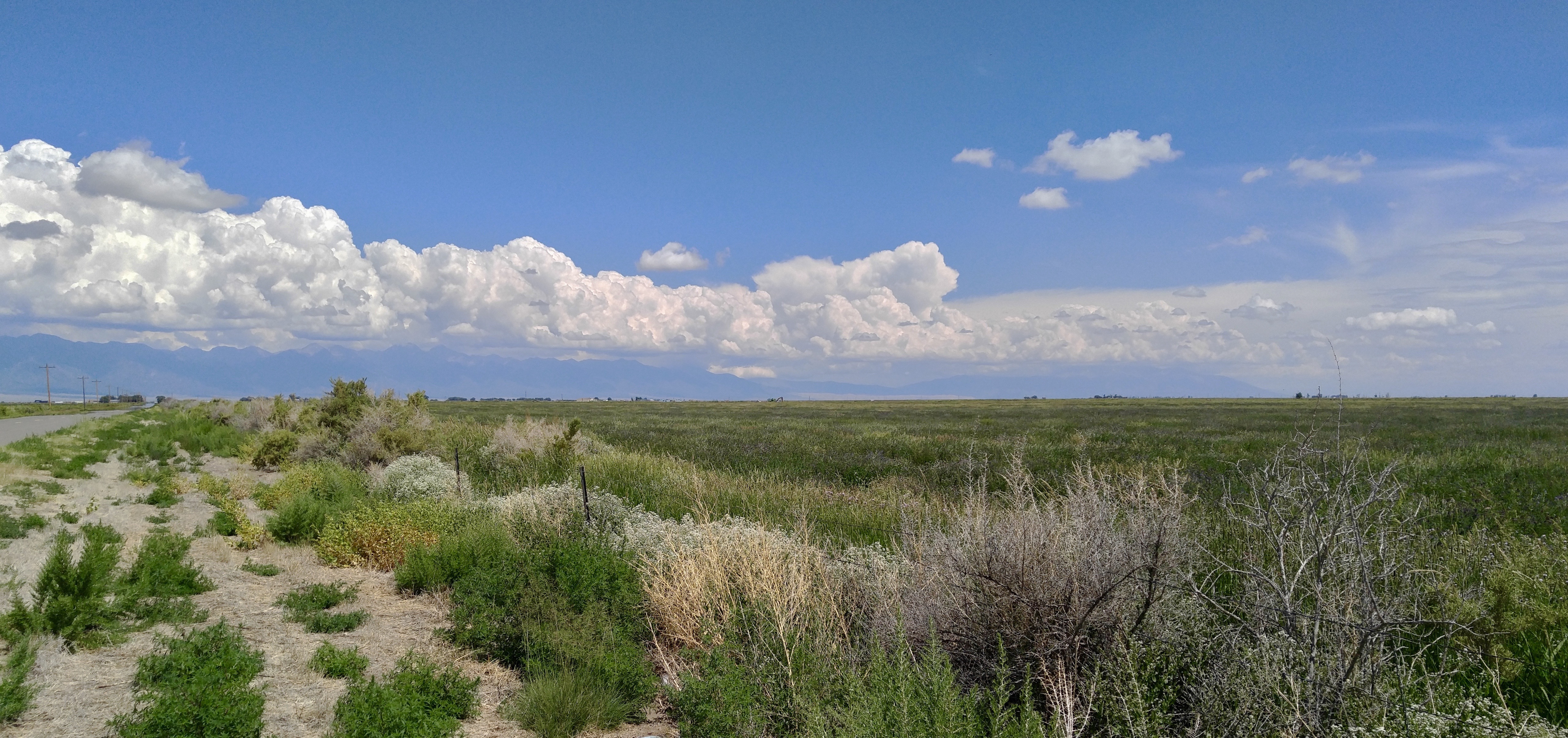
On the road in the San Luis Valley
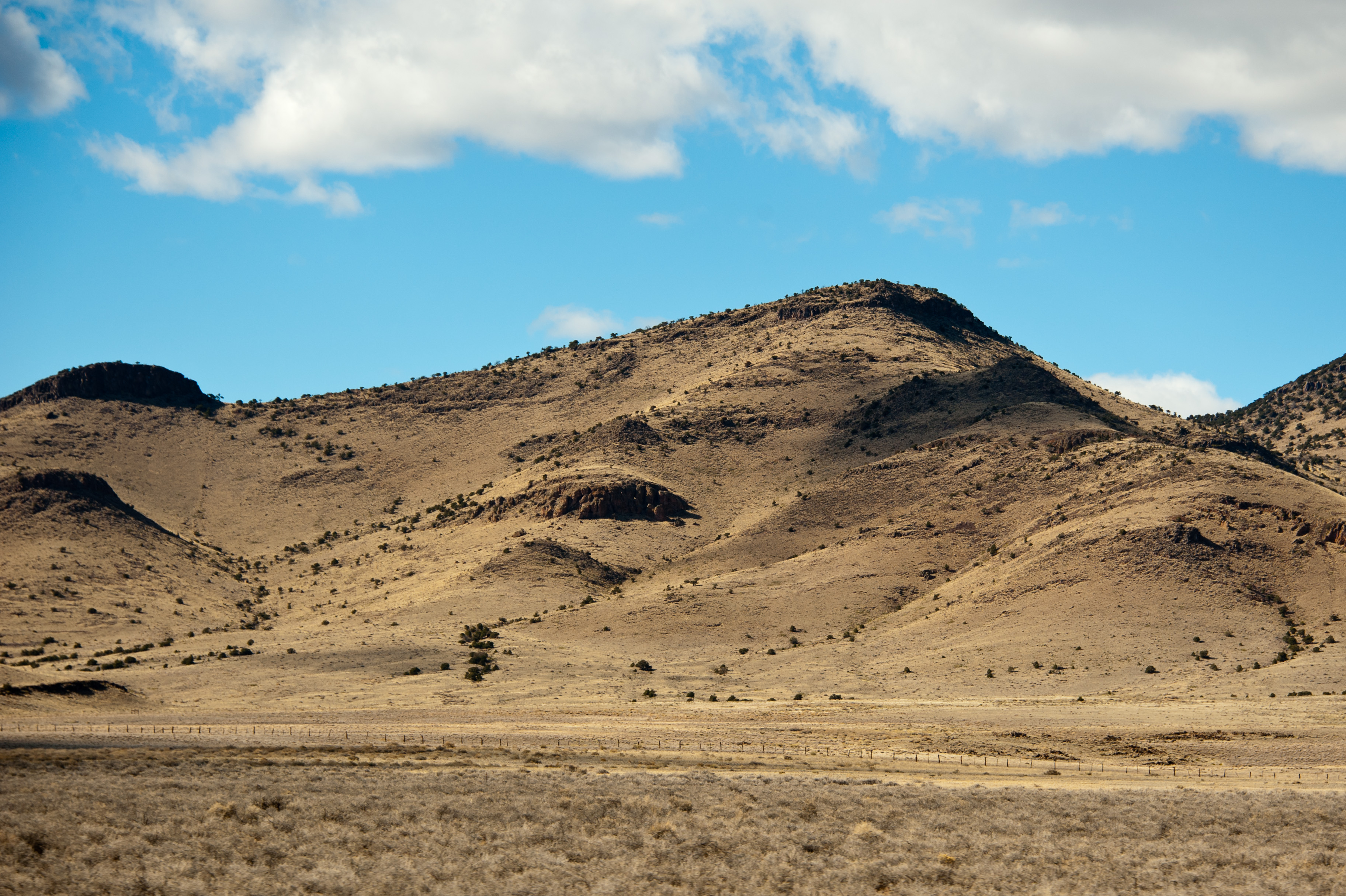
Rolling HIlls

Sangre de Cristo mountain range
20080731-DSC_0188-1
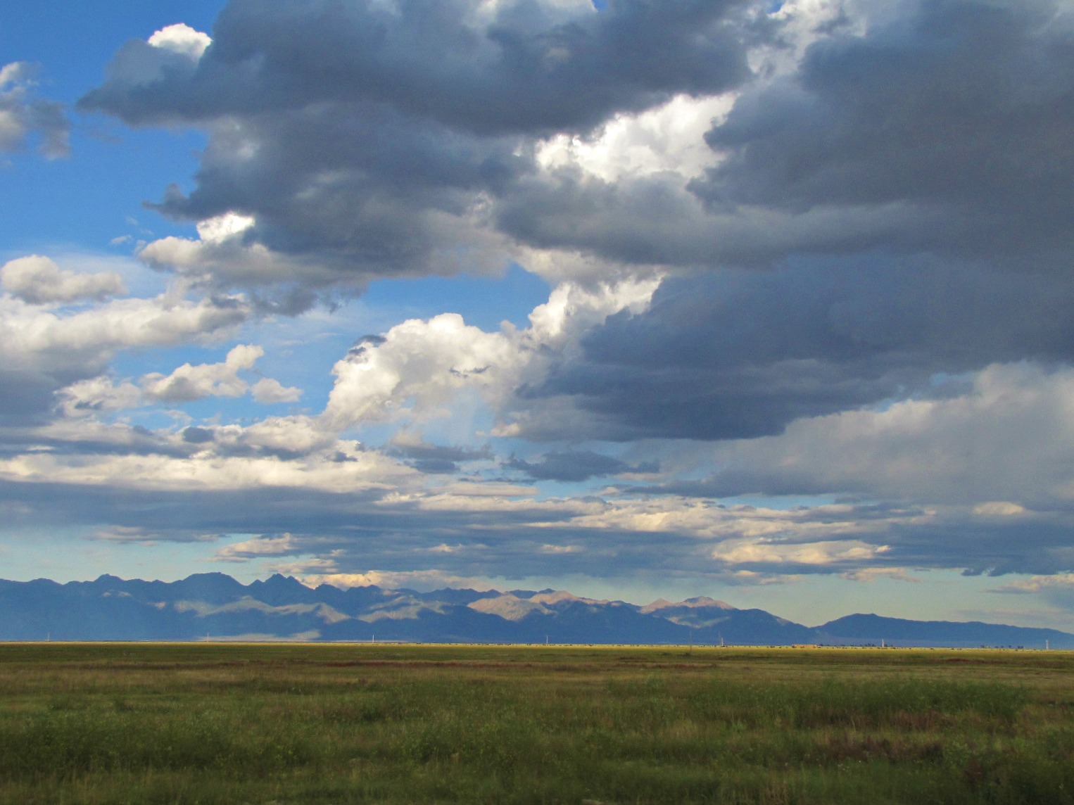
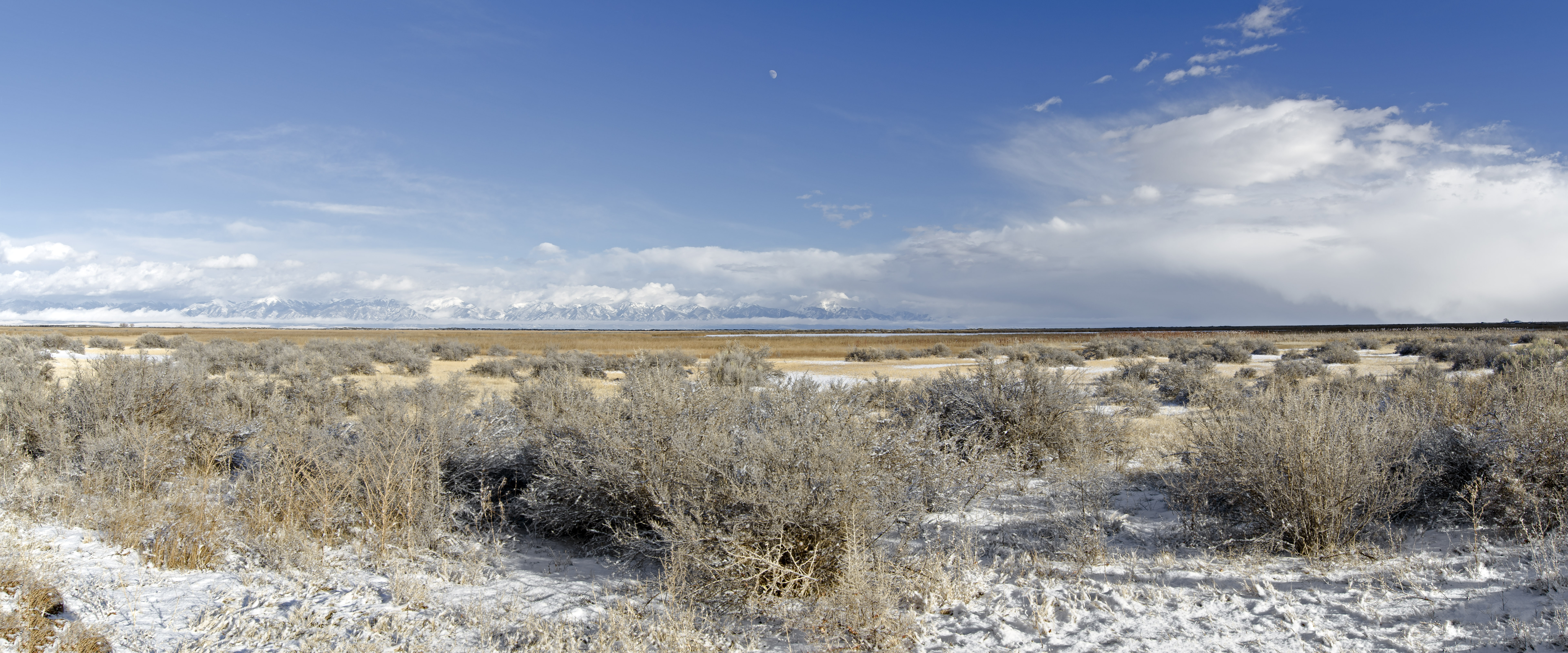
San Luis Valley big sky
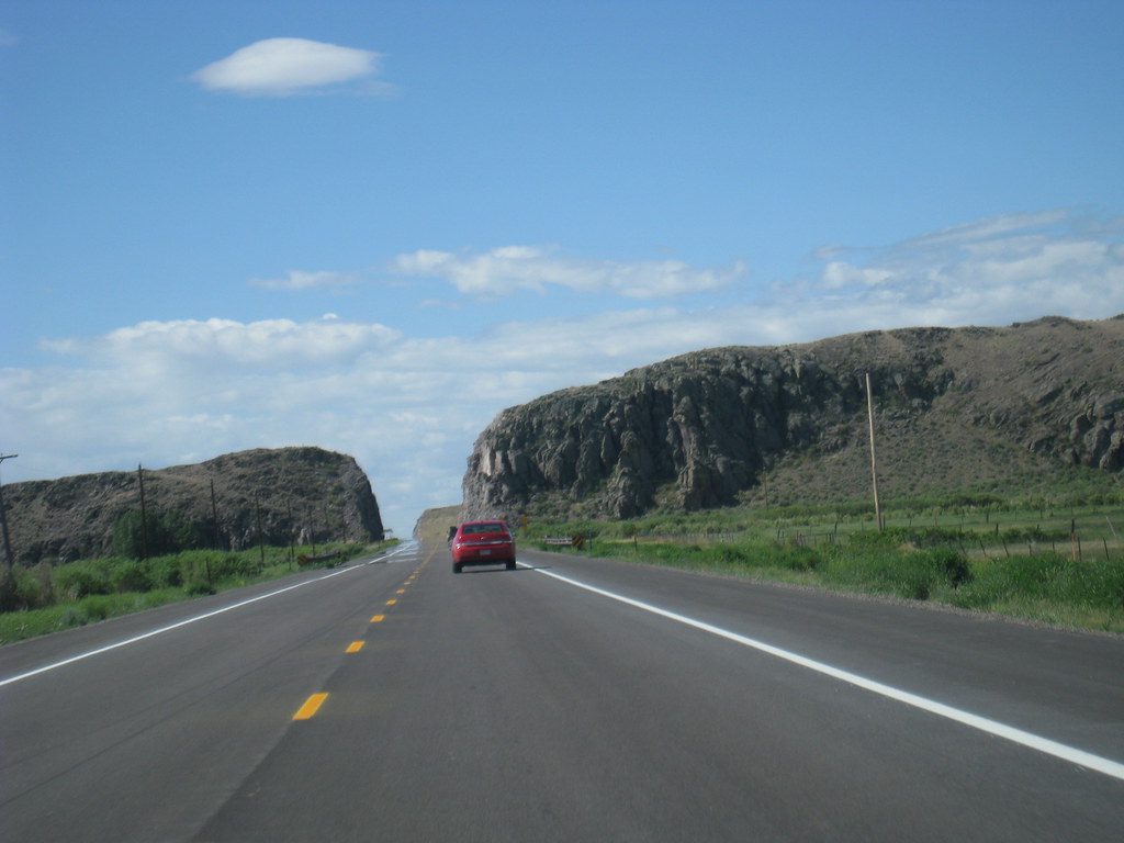
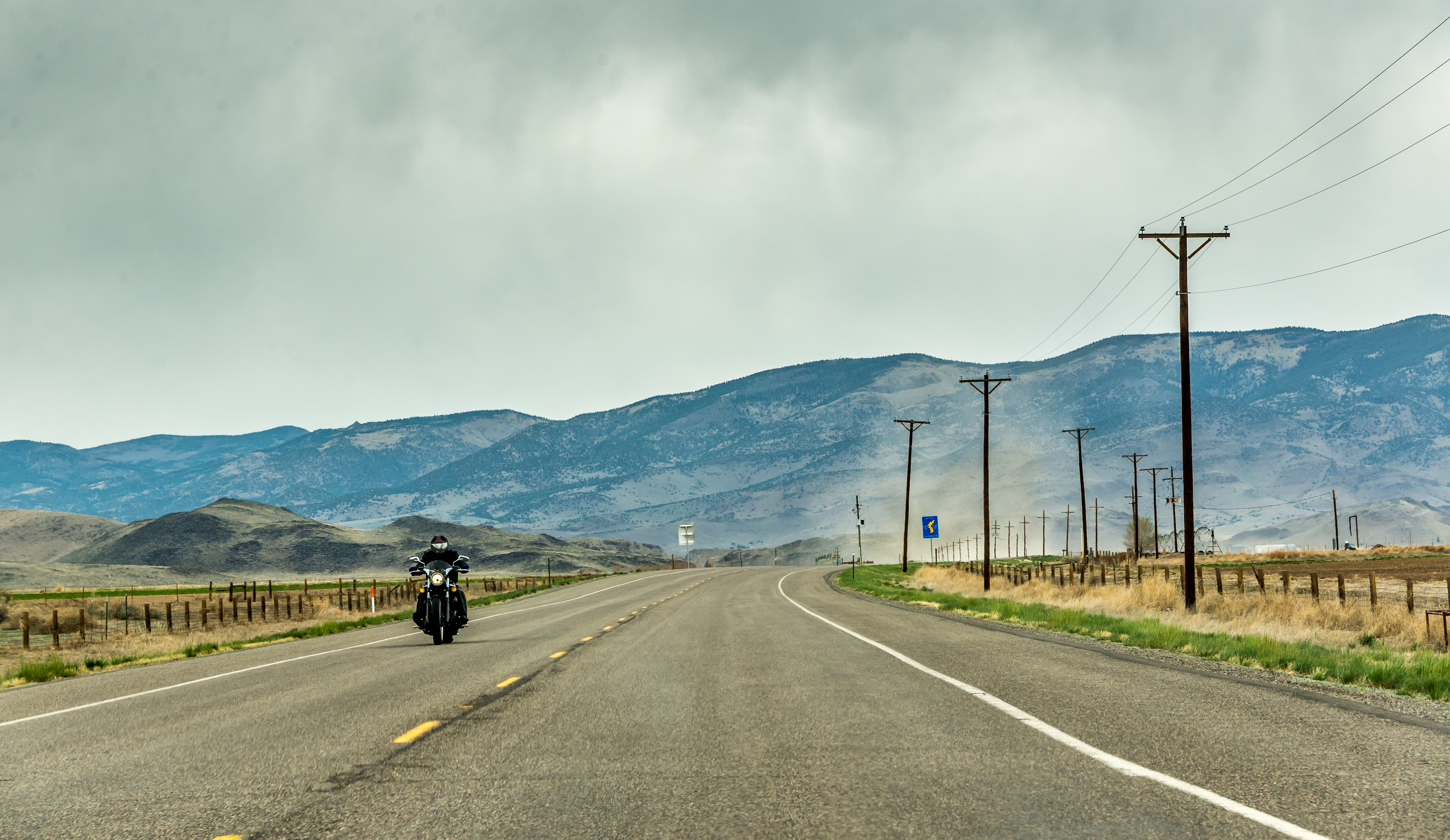
The Highway
Topographic Map of Road 44.8, Rd 44.8, Saguache, CO, USA
Find elevation by address:

Places near Road 44.8, Rd 44.8, Saguache, CO, USA:
45490 Co Rd T
48256 Co Rd T
Saguache
Saguache County
Mcintyre Ridge
Saguache Peak
Houghland Hill
Copper Butte
15 Kerber Creek Sub
Bonita Hill
Parkville
Kit Carson Road
Moffat
Trickle Mountain
18501 Co Rd 60
22500 Co Rd 59
Hayden Peak
Baxter Mountain
Bonanza
10 Farrington Acres
Recent Searches:
- Elevation of Woodland Oak Pl, Thousand Oaks, CA, USA
- Elevation of Brownsdale Rd, Renfrew, PA, USA
- Elevation of Corcoran Ln, Suffolk, VA, USA
- Elevation of Mamala II, Sariaya, Quezon, Philippines
- Elevation of Sarangdanda, Nepal
- Elevation of 7 Waterfall Way, Tomball, TX, USA
- Elevation of SW 57th Ave, Portland, OR, USA
- Elevation of Crocker Dr, Vacaville, CA, USA
- Elevation of Pu Ngaol Community Meeting Hall, HWHM+3X7, Krong Saen Monourom, Cambodia
- Elevation of Royal Ontario Museum, Queens Park, Toronto, ON M5S 2C6, Canada