Elevation of Sheep Mountain Northeast, Colorado, USA
Location: United States > Colorado > Villa Grove >
Longitude: -106.1925
Latitude: 38.3486111
Elevation: 3729m / 12234feet
Barometric Pressure: 64KPa
Elevation Map:
Satellite Map:
Related Photos:
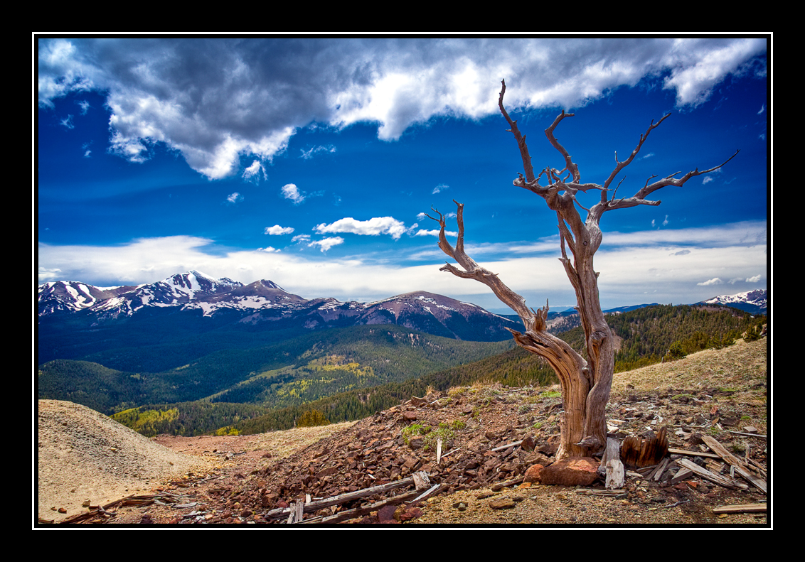
Tree With a View
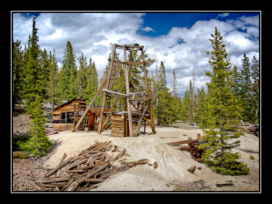
Old Mine
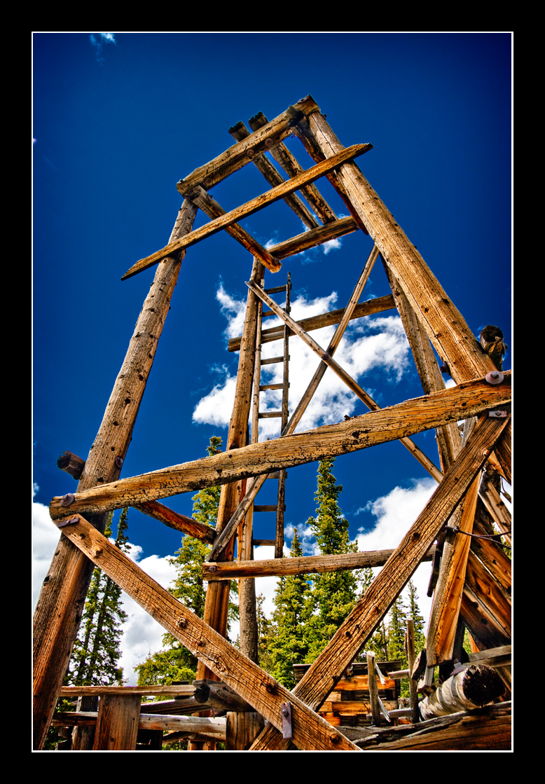
There Will Be Blood

Antora Meadows

Red Columbine

Marmot Mansion

Red Columbine
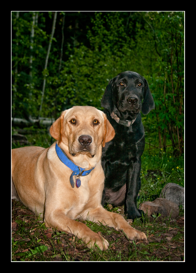
Grady and Jake
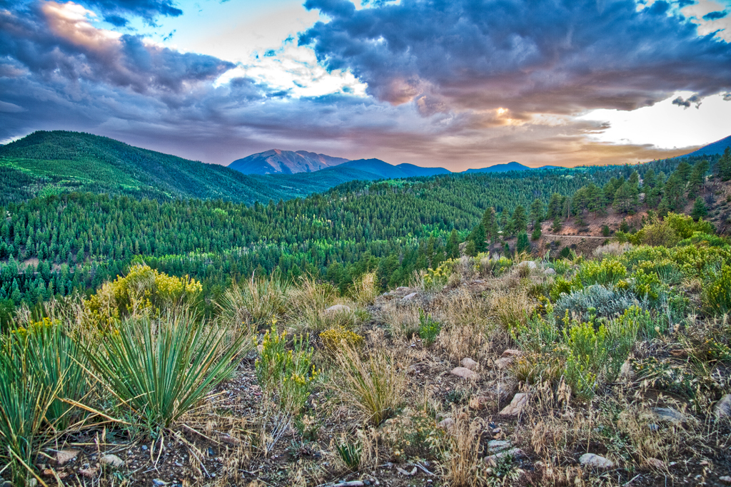
Marshall Pass Sunset

Jake and Grady

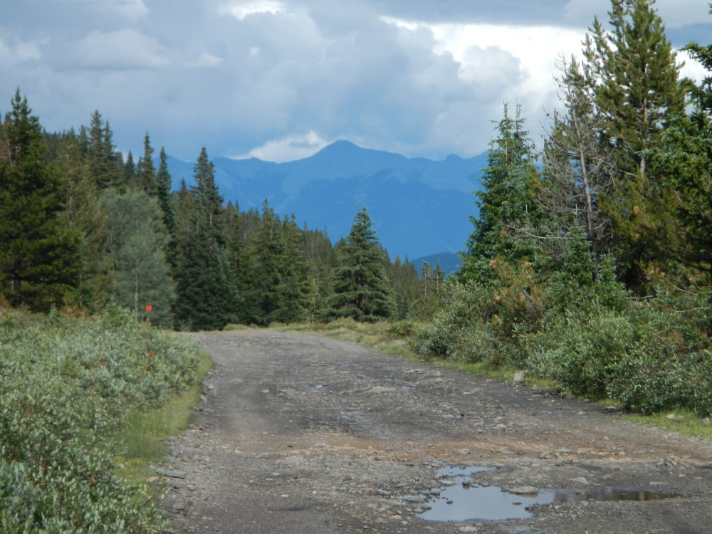
3D - Road to Silver Creek
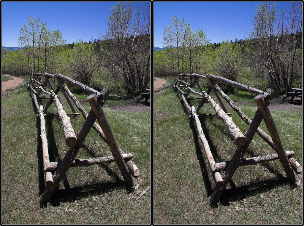
3D - Wood's Cabin Fence
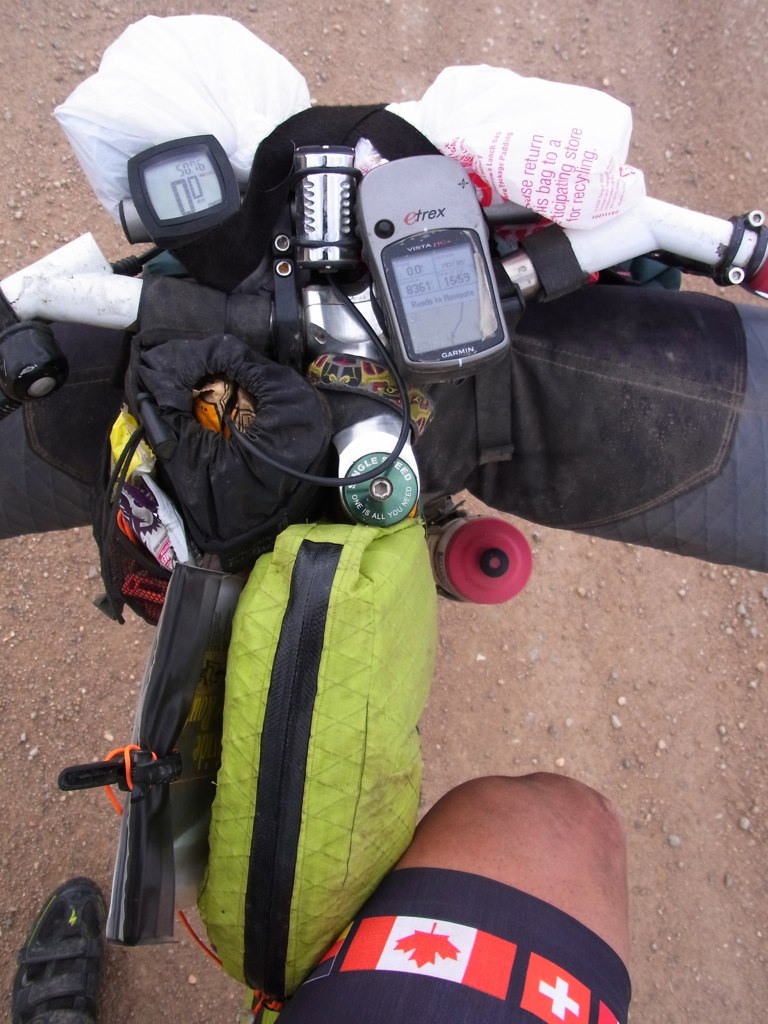
My view of the world
View east from Camp @ Marshall Pass, CO
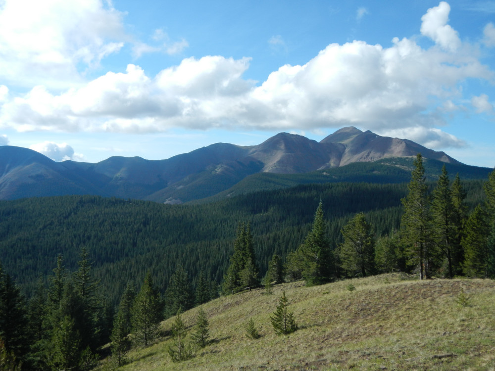
View from the trail.
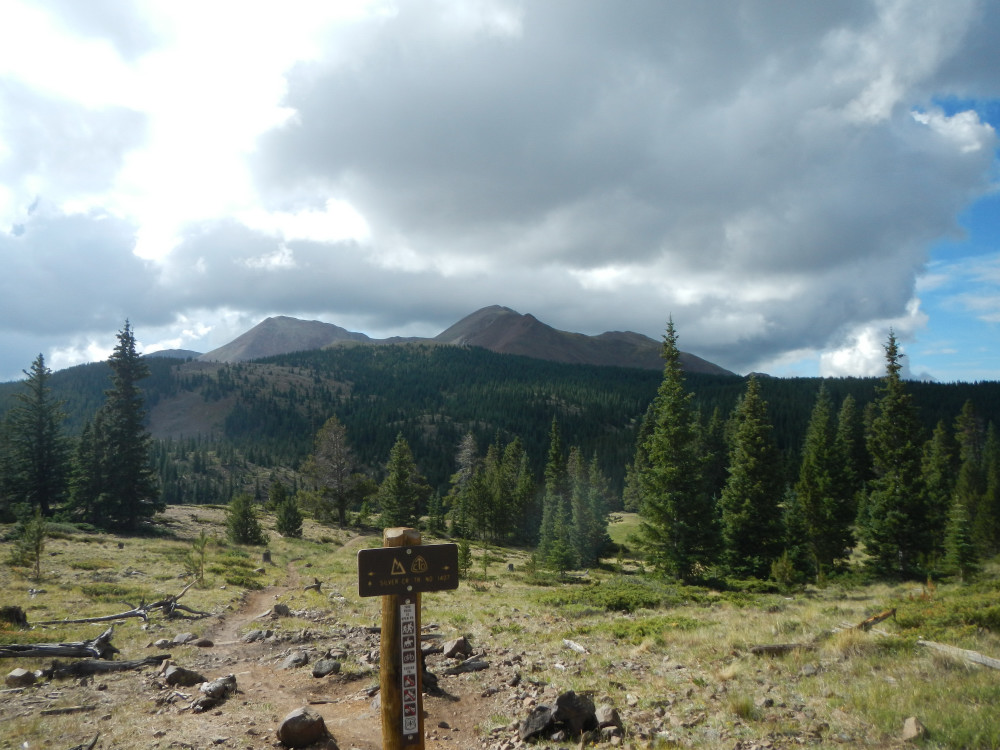
View from the trail.
Topographic Map of Sheep Mountain Northeast, Colorado, USA
Find elevation by address:

Places near Sheep Mountain Northeast, Colorado, USA:
10 Farrington Acres
Windy Peak
Bonanza
Baxter Mountain
Hayden Peak
1043 Co Rd 200
1043 Co Rd 200
Mears Ln, Salida, CO, USA
Bonita Hill
Parkville
Lime Ridge
3310 Us-285
3520 Willow Ln
5500 Co Rd 210
Cleveland Mountain
15 Kerber Creek Sub
Poncha Mountain
13985 Co Rd 220
Maysville
16665 Us-50
Recent Searches:
- Elevation of Corso Fratelli Cairoli, 35, Macerata MC, Italy
- Elevation of Tallevast Rd, Sarasota, FL, USA
- Elevation of 4th St E, Sonoma, CA, USA
- Elevation of Black Hollow Rd, Pennsdale, PA, USA
- Elevation of Oakland Ave, Williamsport, PA, USA
- Elevation of Pedrógão Grande, Portugal
- Elevation of Klee Dr, Martinsburg, WV, USA
- Elevation of Via Roma, Pieranica CR, Italy
- Elevation of Tavkvetili Mountain, Georgia
- Elevation of Hartfords Bluff Cir, Mt Pleasant, SC, USA