Elevation of S Main St, Le Roy, KS, USA
Location: United States > Kansas > Coffey County > Leroy > Le Roy >
Longitude: -95.633712
Latitude: 38.083552
Elevation: 306m / 1004feet
Barometric Pressure: 98KPa
Elevation Map:
Satellite Map:
Related Photos:

January 09 2015 - Zodiacal Light
Main Street - Neosho Falls, KS
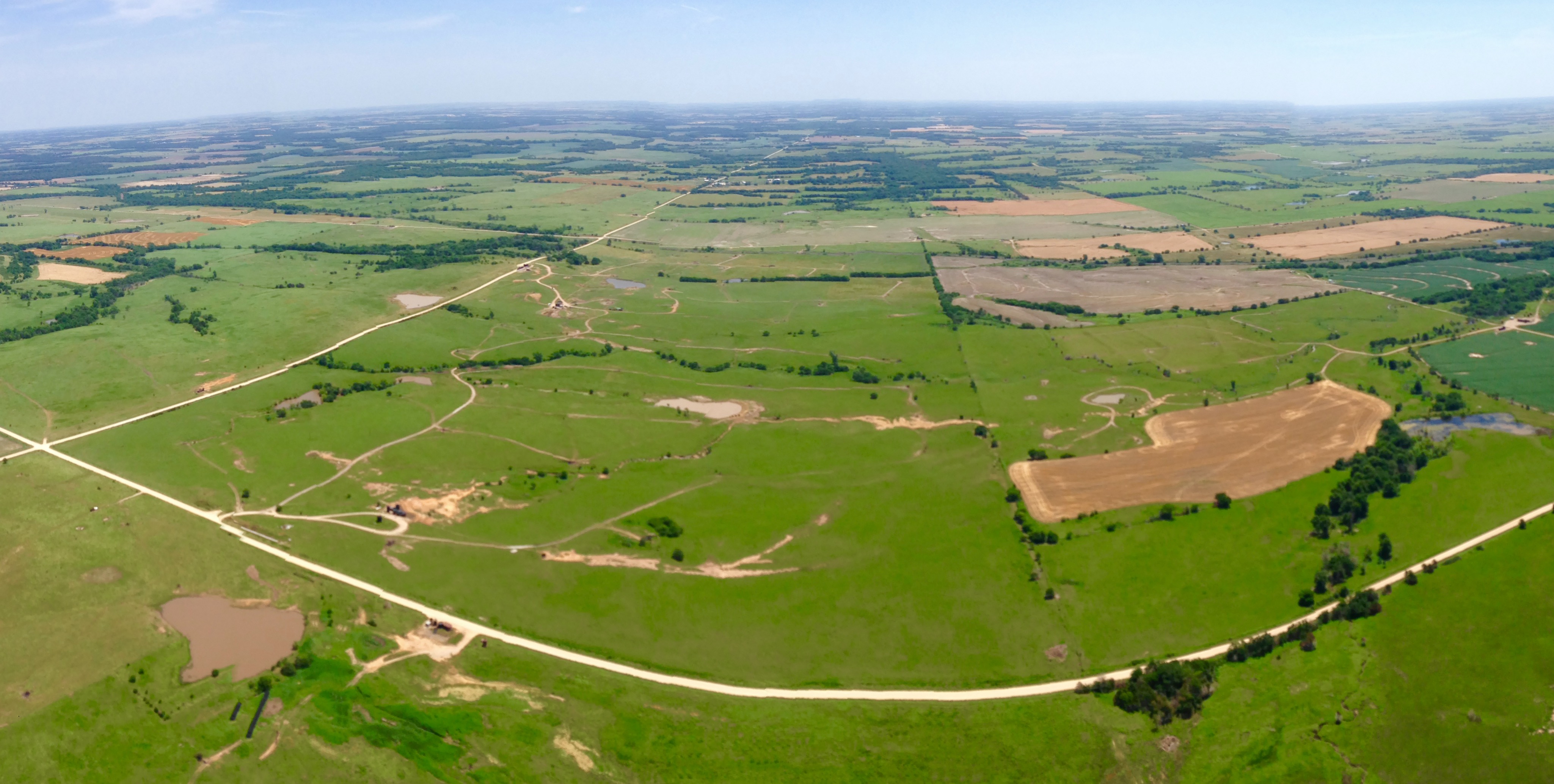
Aerial view 2

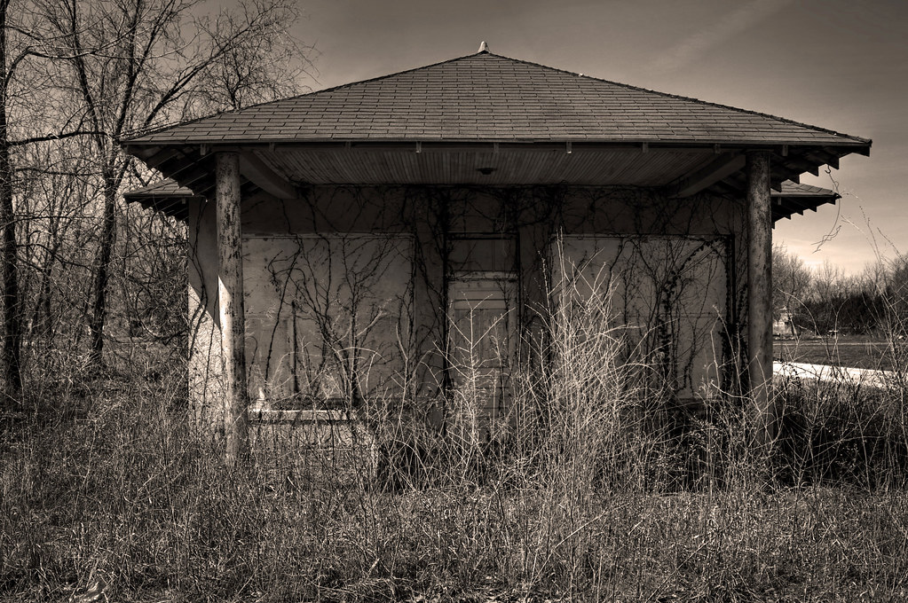
Abandoned School Gym

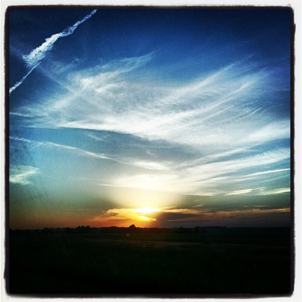
October11 2014 - Sunset

January 09 2015 - Venus over Mercury
A #beautiful #Kansas #vacation #sunset!

Country Road
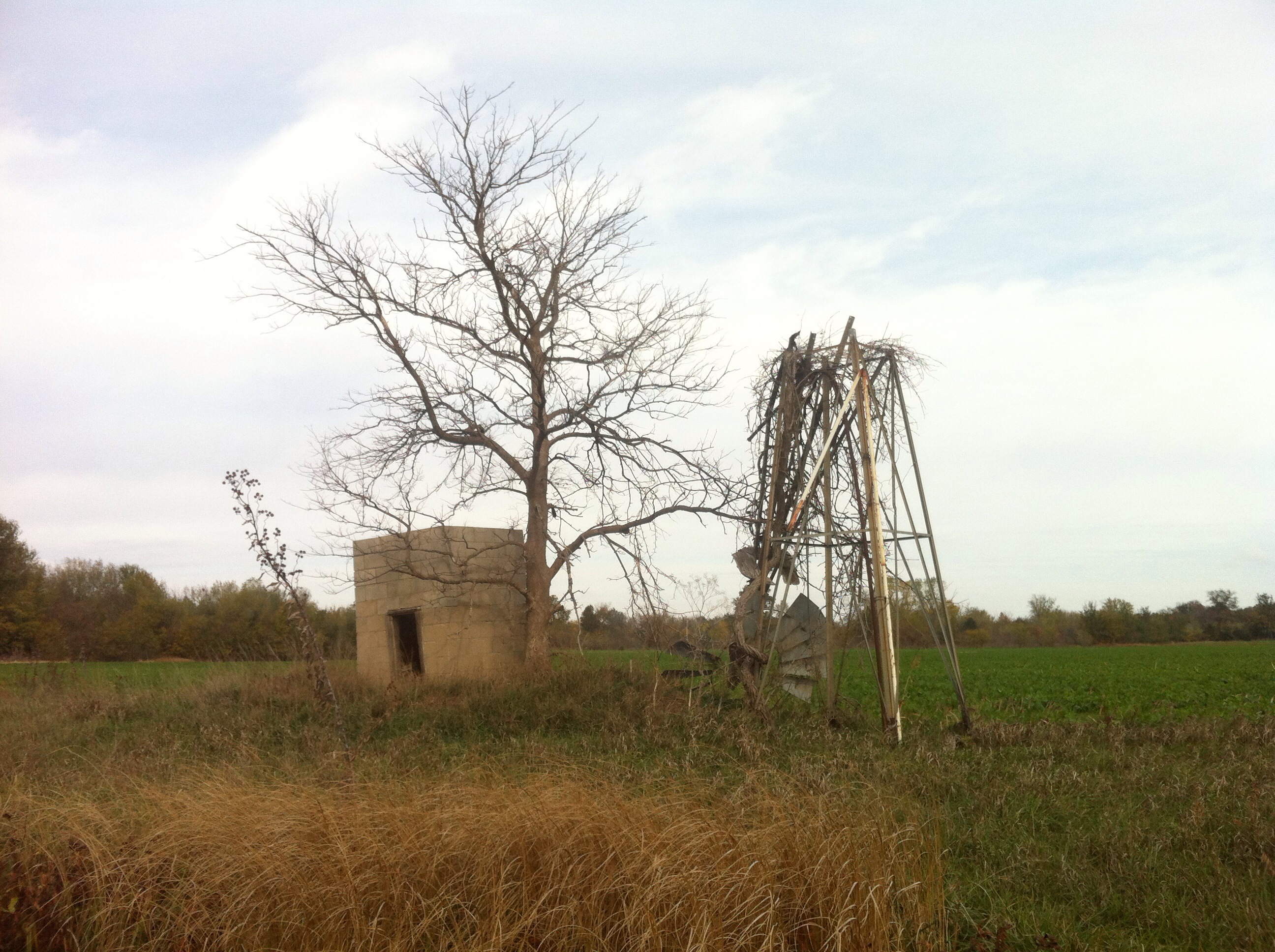
Ghost trip fall 2012
Eastern Kansas Landscape (Woodson County, Kansas)
Entering Coffey County (Coffey County, Kansas)

Burlington City Dam
Panoramic Aerial
Topographic Map of S Main St, Le Roy, KS, USA
Find elevation by address:

Places near S Main St, Le Roy, KS, USA:
Le Roy
Leroy
Hampden
Burlington
1013 Neosho St
1550 Oxen Ln
Neosho St, New Strawn, KS, USA
New Strawn
Ottumwa
Liberty
Gridley
Coffey County
1st St, Gridley, KS, USA
2265 Us-75
Key West
S Maple St, Lebo, KS, USA
Melvern
Main St, Lebo, KS, USA
Olivet
101 E Hollman St
Recent Searches:
- Elevation of Bydgoszcz, Poland
- Elevation of Bydgoszcz, Poland
- Elevation of Calais Dr, Del Mar, CA, USA
- Elevation of Placer Mine Ln, West Jordan, UT, USA
- Elevation of E 63rd St, New York, NY, USA
- Elevation of Elk City, OK, USA
- Elevation of Erika Dr, Windsor, CA, USA
- Elevation of Village Ln, Finleyville, PA, USA
- Elevation of 24 Oakland Rd #, Scotland, ON N0E 1R0, Canada
- Elevation of Deep Gap Farm Rd E, Mill Spring, NC, USA