Elevation of US-75, Lebo, KS, USA
Location: United States > Kansas > Coffey County > Key West >
Longitude: -95.729335
Latitude: 38.3592298
Elevation: 362m / 1188feet
Barometric Pressure: 97KPa
Elevation Map:
Satellite Map:
Related Photos:
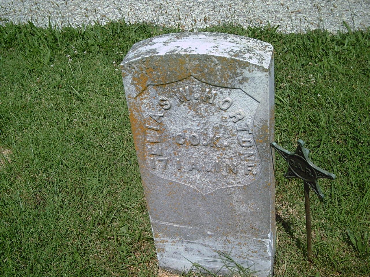
Elias W. Horton
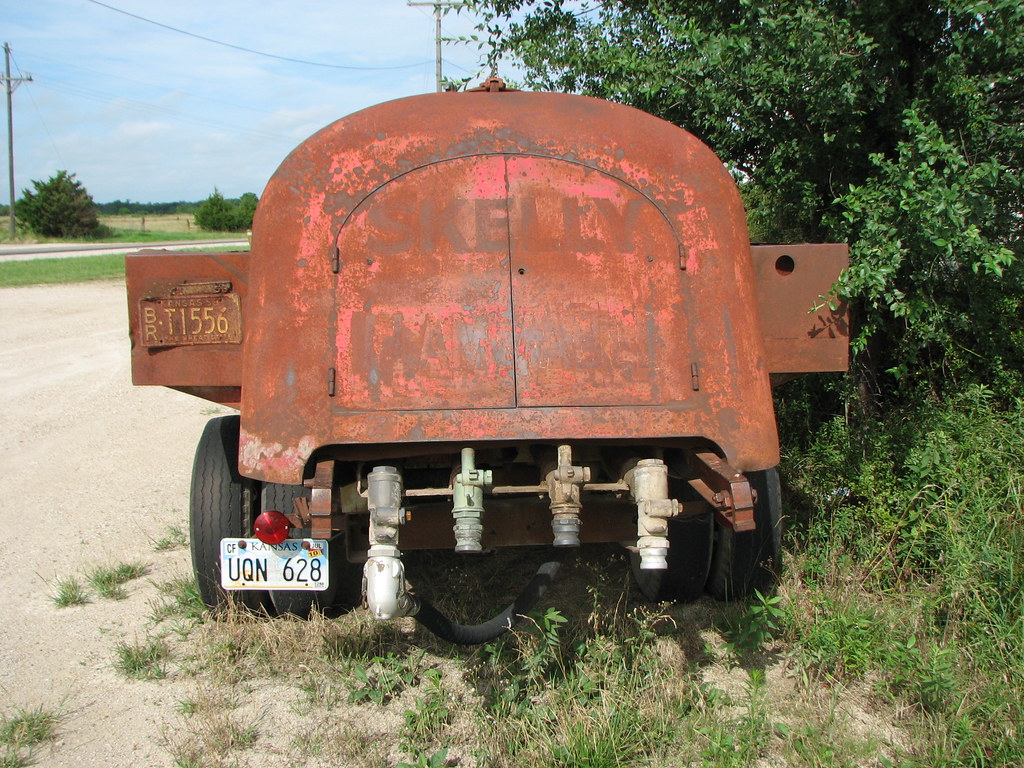
Skelly Truck-Rear View
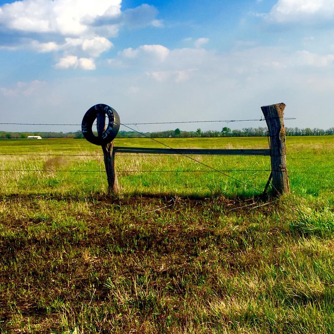
No trespassing...So says the old tire #onlyinkansas
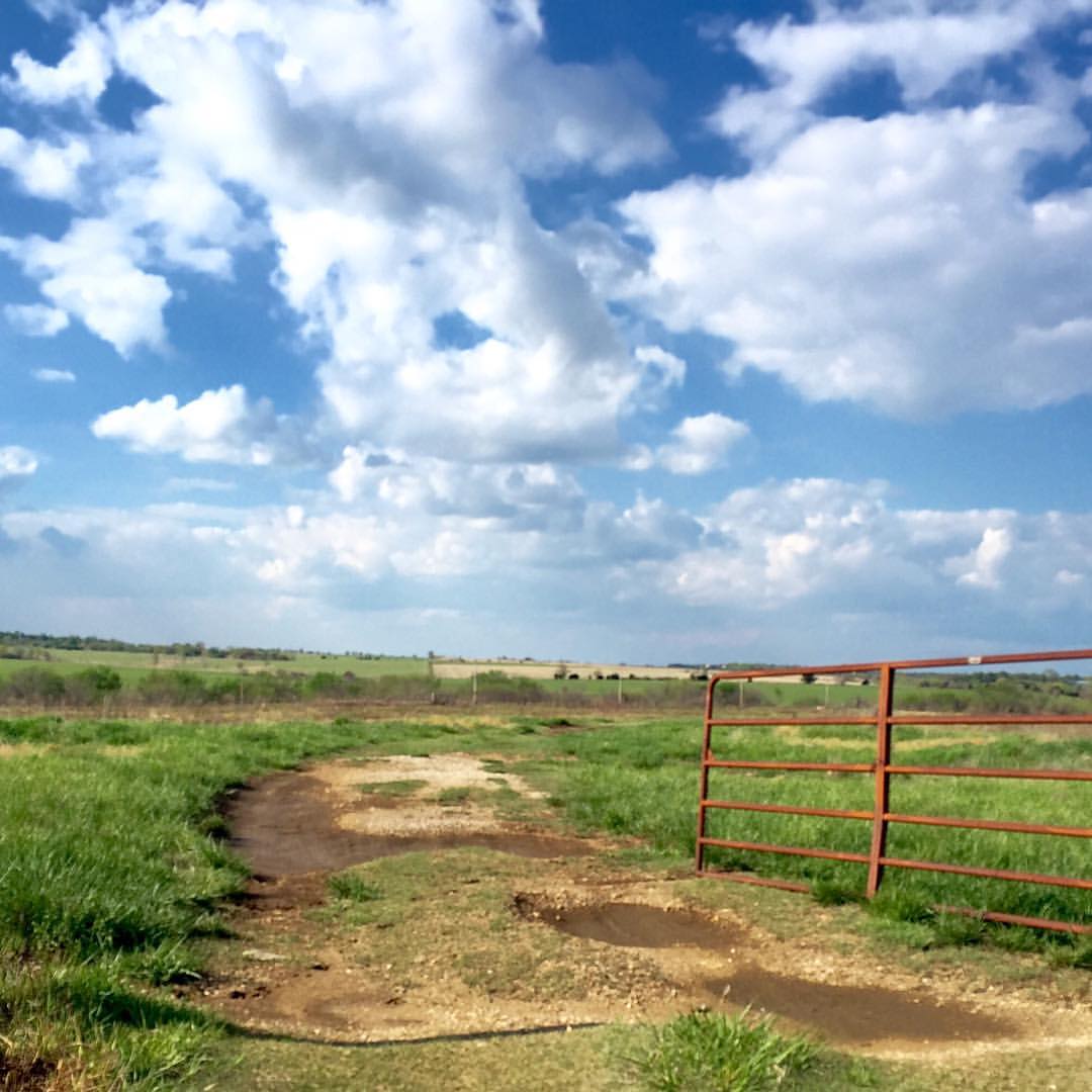
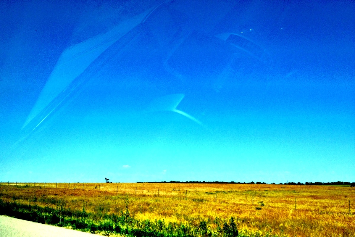
Nothing but blue skies #onlyinkansas #wherestoto
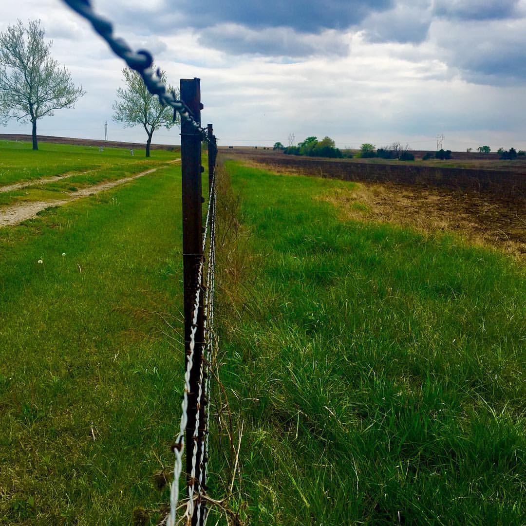
Lookin down the fence row #onlyinkansas

Sunset over Redmond

Sunset over Redmond
Camera Roll-709

Smoke Enhanced Sunset

April 23, 2007 Sunset
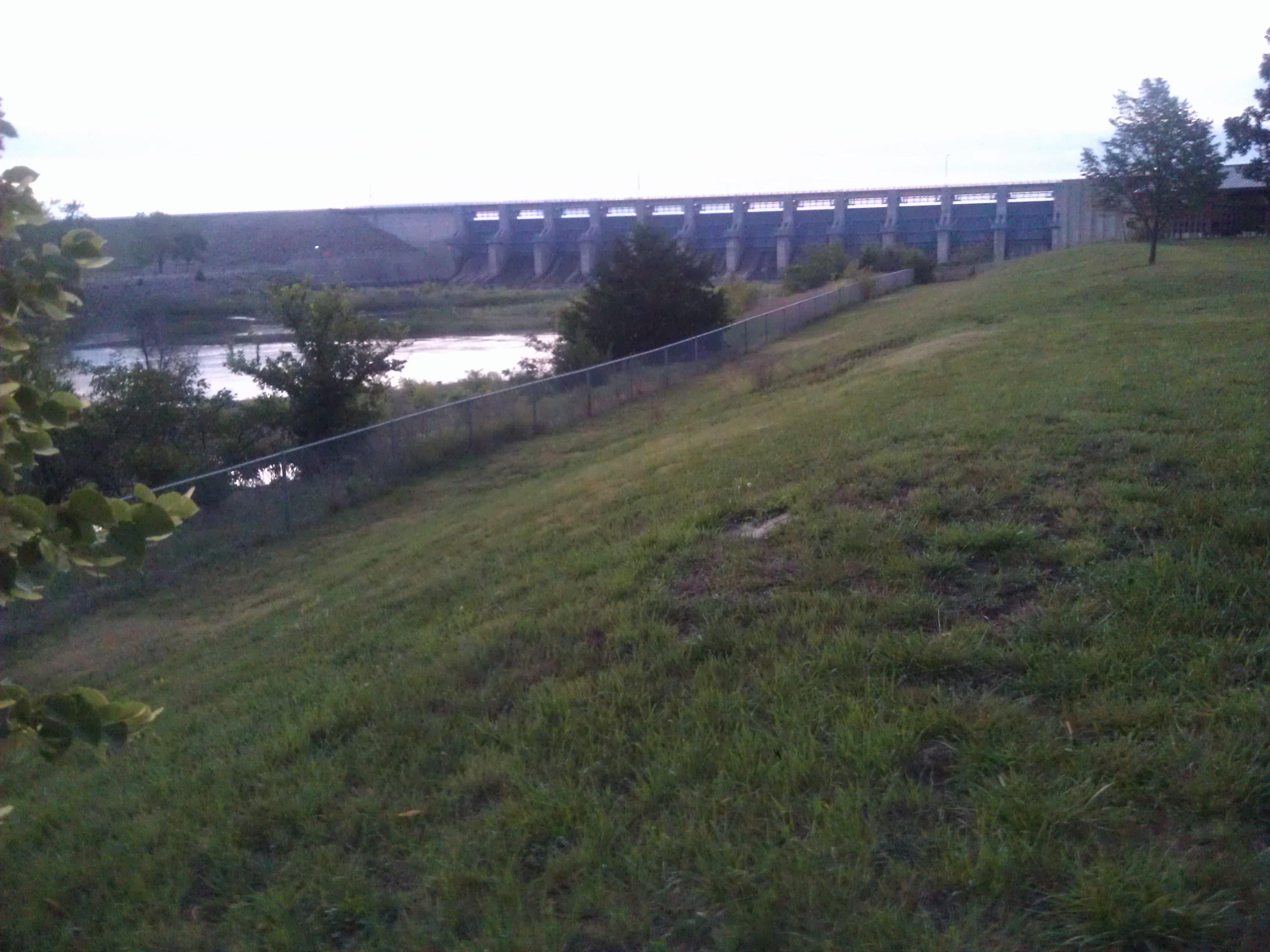
John Redmond Reservoir- Coffey County KS (1)
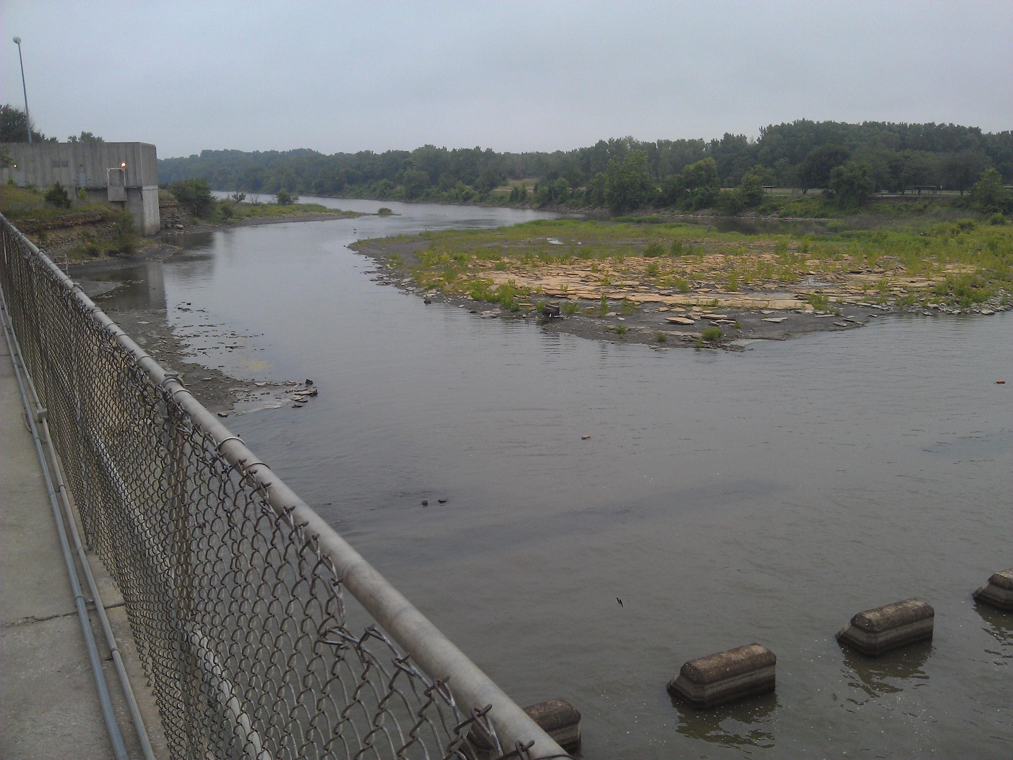
John Redmond Reservoir- Coffey County KS (6)

Time Lapse

September 24 2015 - Sunset at John Redmond Reservoir
Topographic Map of US-75, Lebo, KS, USA
Find elevation by address:

Places near US-75, Lebo, KS, USA:
Key West
Ottumwa
New Strawn
Neosho St, New Strawn, KS, USA
Main St, Lebo, KS, USA
Olivet
1550 Oxen Ln
Coffey County
Olivet
S Maple St, Lebo, KS, USA
Melvern Lake
Melvern
Hampden
Burlington
1013 Neosho St
101 E Hollman St
202 4th St
Melvern
Emporia St, Melvern, KS, USA
E 7th St, Lyndon, KS, USA
Recent Searches:
- Elevation of Groblershoop, South Africa
- Elevation of Power Generation Enterprises | Industrial Diesel Generators, Oak Ave, Canyon Country, CA, USA
- Elevation of Chesaw Rd, Oroville, WA, USA
- Elevation of N, Mt Pleasant, UT, USA
- Elevation of 6 Rue Jules Ferry, Beausoleil, France
- Elevation of Sattva Horizon, 4JC6+G9P, Vinayak Nagar, Kattigenahalli, Bengaluru, Karnataka, India
- Elevation of Great Brook Sports, Gold Star Hwy, Groton, CT, USA
- Elevation of 10 Mountain Laurels Dr, Nashua, NH, USA
- Elevation of 16 Gilboa Ln, Nashua, NH, USA
- Elevation of Laurel Rd, Townsend, TN, USA