Elevation of Emporia St, Melvern, KS, USA
Location: United States > Kansas > Osage County > Melvern > Melvern >
Longitude: -95.637426
Latitude: 38.507278
Elevation: 310m / 1017feet
Barometric Pressure: 98KPa
Elevation Map:
Satellite Map:
Related Photos:
View from today's office. Yay working for @iinteractive!
Williamsburg Treasure
Shack at Sunset
Camera Roll-711
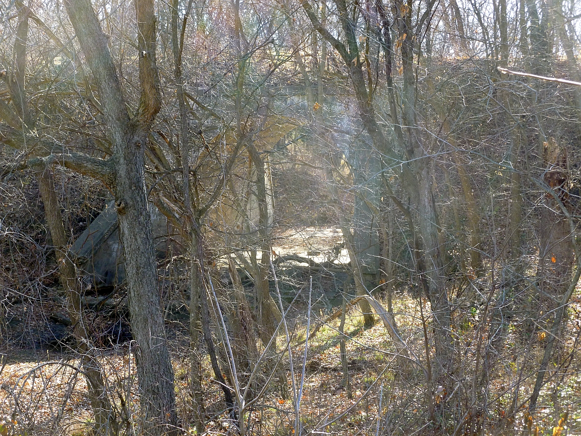
Bridge just west of Williamsburg

Osage County Courthouse (Lyndon, Kansas)
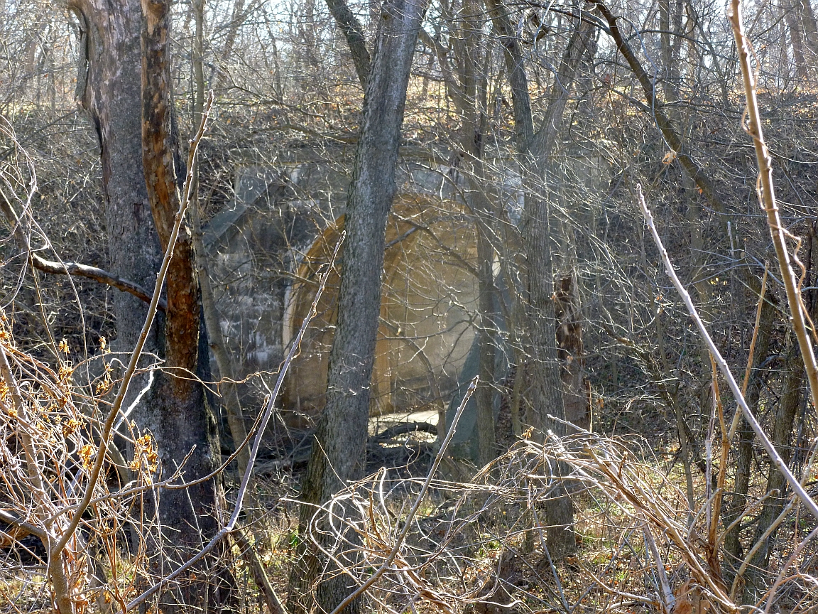
Bridge just west of Williamsburg
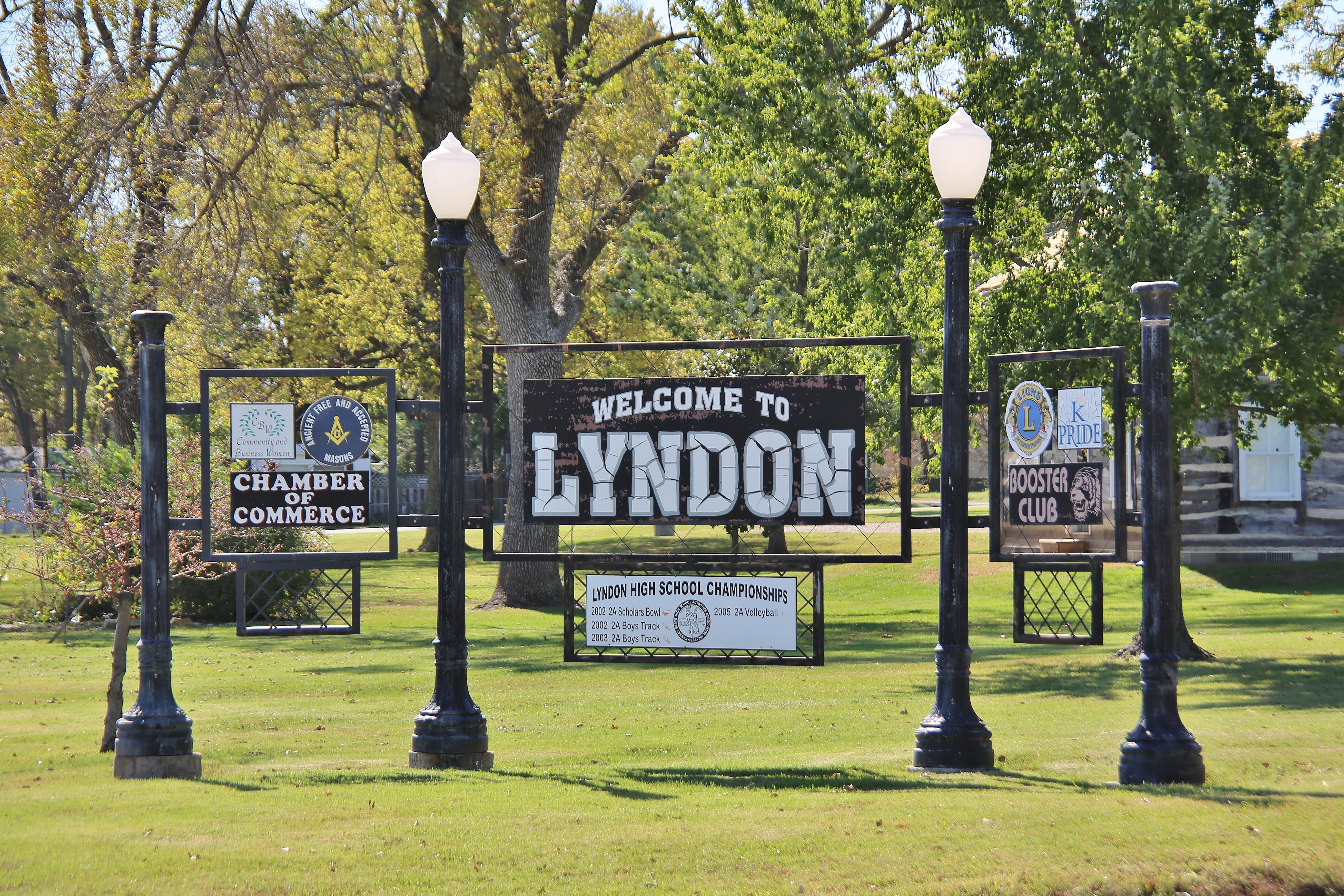
0U1A5169 Welcome to Lyndon KS (US-75 S)

Carnegie Library, Lyndon, KS

Carnegie Library, Lyndon, KS

Carnegie Library, Lyndon, KS

Carnegie Library, Lyndon, KS

Carnegie Library, Lyndon, KS
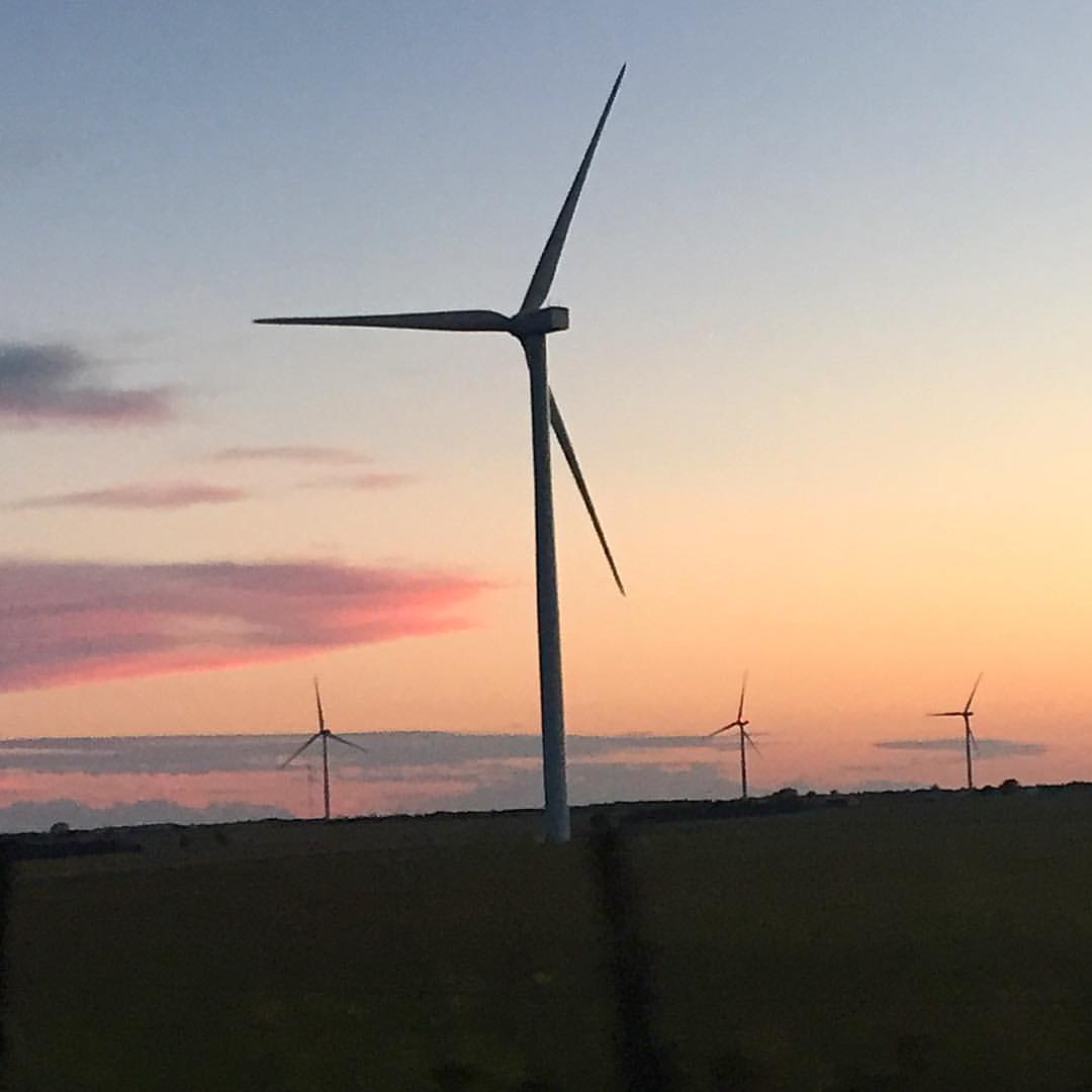
Kansas sunset while checking out the windmill farm. It's pretty awesome.

A little heart cloud in the sky on the way back from Moms 1st chemo ☁️???? #onlyinkansas #blueskysfordsys
Topographic Map of Emporia St, Melvern, KS, USA
Find elevation by address:

Places near Emporia St, Melvern, KS, USA:
Melvern
101 E Hollman St
202 4th St
Melvern
Melvern Lake
Osage County
E 7th St, Lyndon, KS, USA
Lyndon
Olivet
Main St, Lebo, KS, USA
Valley Brook
Olivet
US-75, Lyndon, KS, USA
Key West
2265 Us-75
Superior
Fairfax
S 6th St, Osage City, KS, USA
Osage City
313 E Lord St
Recent Searches:
- Elevation of Erika Dr, Windsor, CA, USA
- Elevation of Village Ln, Finleyville, PA, USA
- Elevation of 24 Oakland Rd #, Scotland, ON N0E 1R0, Canada
- Elevation of Deep Gap Farm Rd E, Mill Spring, NC, USA
- Elevation of Dog Leg Dr, Minden, NV, USA
- Elevation of Dog Leg Dr, Minden, NV, USA
- Elevation of Kambingan Sa Pansol Atbp., Purok 7 Pansol, Candaba, Pampanga, Philippines
- Elevation of Pinewood Dr, New Bern, NC, USA
- Elevation of Mountain View, CA, USA
- Elevation of Foligno, Province of Perugia, Italy