Elevation of 4th St, Melvern, KS, USA
Location: United States > Kansas > Osage County > Melvern > Melvern >
Longitude: -95.636450
Latitude: 38.5059225
Elevation: 308m / 1010feet
Barometric Pressure: 98KPa
Elevation Map:
Satellite Map:
Related Photos:

View from today's office. Yay working for @iinteractive!

Williamsburg Treasure

A Country Sunset Behind The Barn
2013-07-21_0013

Shack at Sunset

Camera Roll-711

Bridge just west of Williamsburg

Bridge just west of Williamsburg

Comet Neowise Late for Night School

Country Celestial Spectacular

Sunstar for Old Schooling

1984 07-23 1646 ATSF GP20-3045 W/B Quenemo, KS

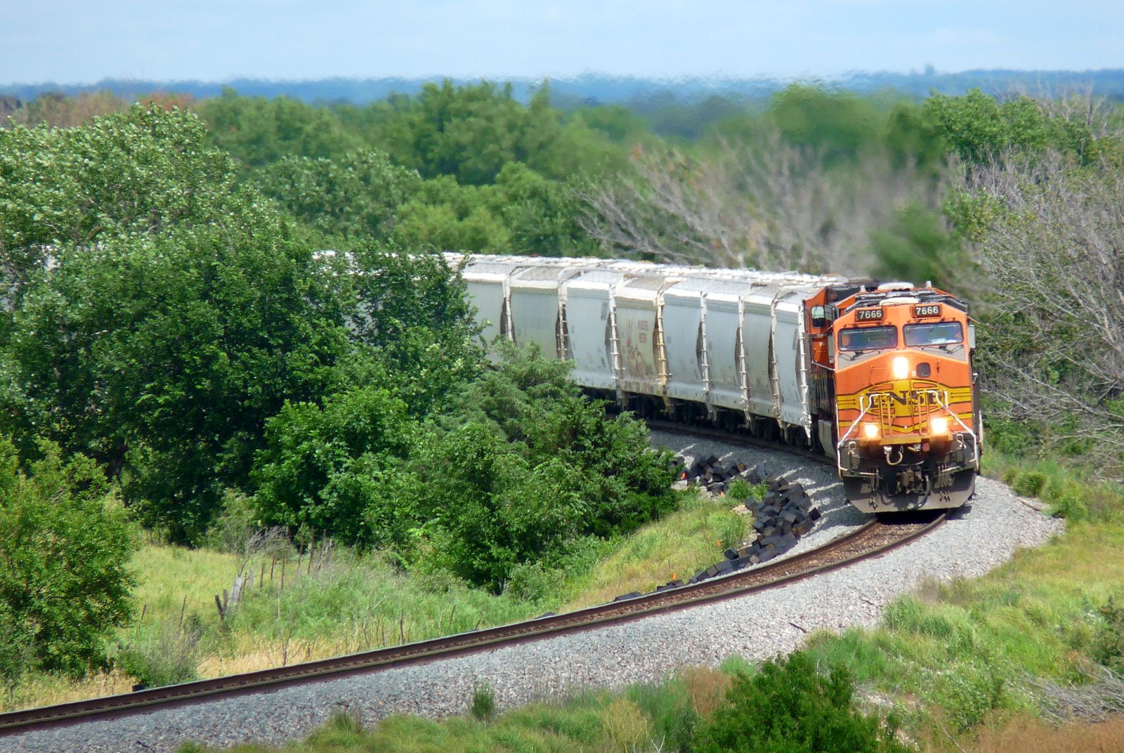
2020 Summer Trip (209)
Topographic Map of 4th St, Melvern, KS, USA
Find elevation by address:

Places near 4th St, Melvern, KS, USA:
101 E Hollman St
Emporia St, Melvern, KS, USA
Melvern
Melvern
Melvern Lake
Osage County
E 7th St, Lyndon, KS, USA
Lyndon
Olivet
Main St, Lebo, KS, USA
Olivet
Valley Brook
US-75, Lyndon, KS, USA
Key West
2265 Us-75
Superior
Fairfax
S 6th St, Osage City, KS, USA
Osage City
313 E Lord St
Recent Searches:
- Elevation of 24 Oakland Rd #, Scotland, ON N0E 1R0, Canada
- Elevation of Deep Gap Farm Rd E, Mill Spring, NC, USA
- Elevation of Dog Leg Dr, Minden, NV, USA
- Elevation of Dog Leg Dr, Minden, NV, USA
- Elevation of Kambingan Sa Pansol Atbp., Purok 7 Pansol, Candaba, Pampanga, Philippines
- Elevation of Pinewood Dr, New Bern, NC, USA
- Elevation of Mountain View, CA, USA
- Elevation of Foligno, Province of Perugia, Italy
- Elevation of Blauwestad, Netherlands
- Elevation of Bella Terra Blvd, Estero, FL, USA