Elevation of LeRoy, Leroy, KS, USA
Location: United States > Kansas > Coffey County >
Longitude: -95.635280
Latitude: 38.0868057
Elevation: 306m / 1004feet
Barometric Pressure: 98KPa
Elevation Map:
Satellite Map:
Related Photos:

January 09 2015 - Zodiacal Light
Main Street - Neosho Falls, KS
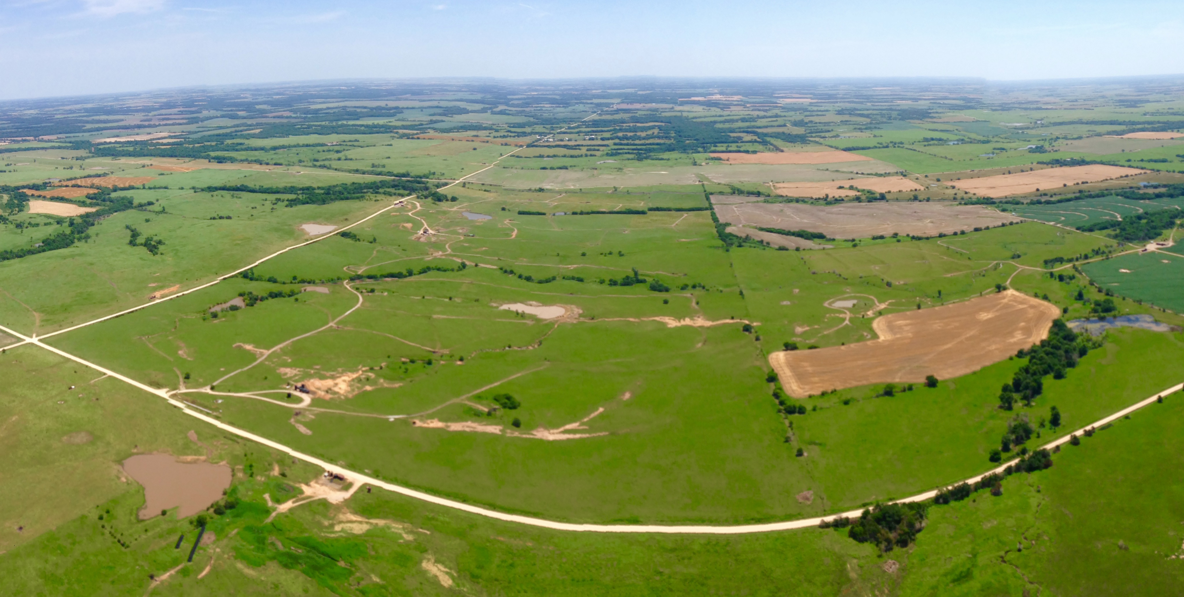
Aerial view 2

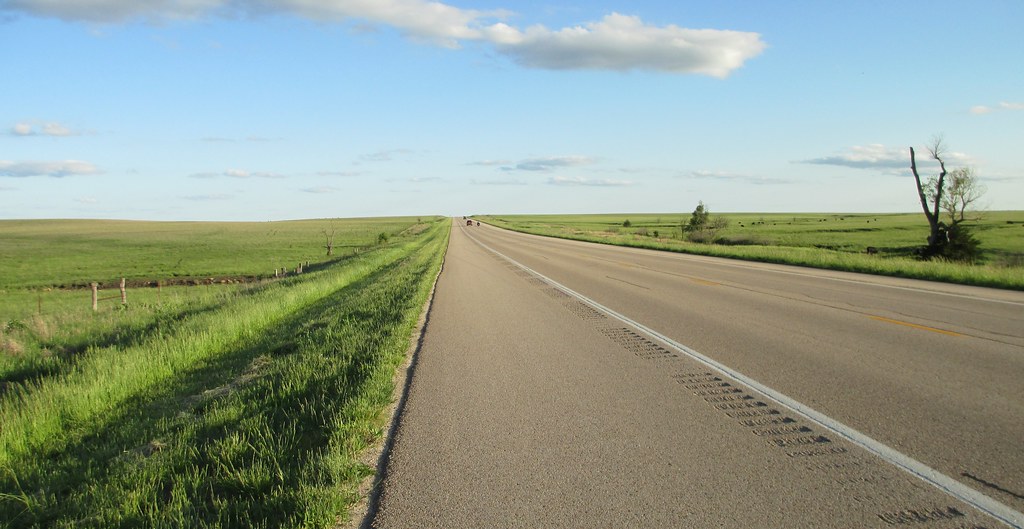
Country Road
Eastern Kansas Landscape (Woodson County, Kansas)

October11 2014 - Sunset

January 09 2015 - Venus over Mercury
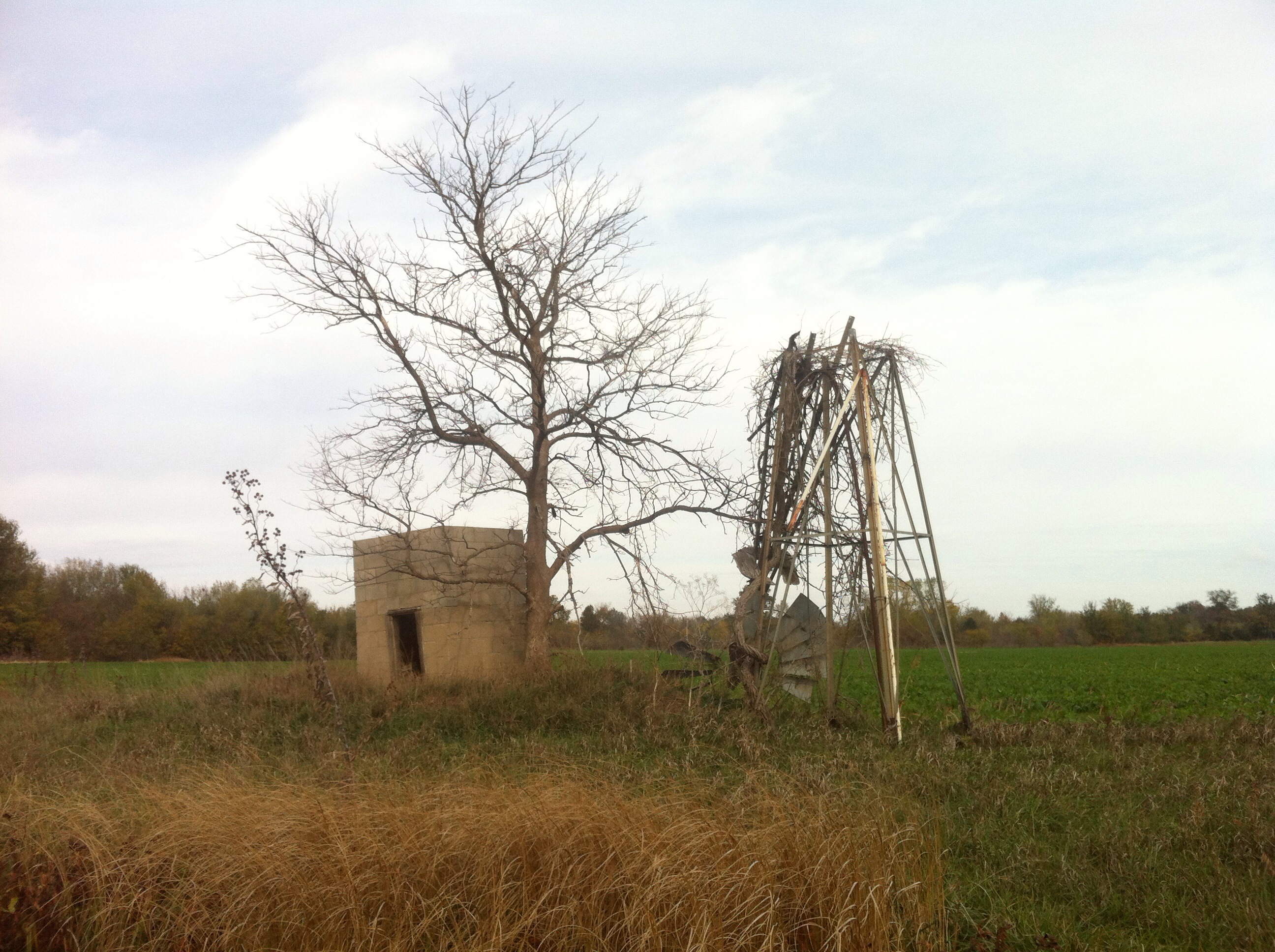
Ghost trip fall 2012
Entering Coffey County (Coffey County, Kansas)

Burlington City Dam

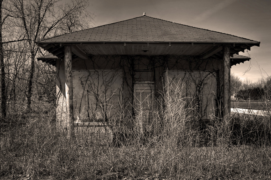
Abandoned School Gym
Panoramic Aerial
Topographic Map of LeRoy, Leroy, KS, USA
Find elevation by address:

Places in LeRoy, Leroy, KS, USA:
Places near LeRoy, Leroy, KS, USA:
Le Roy
S Main St, Le Roy, KS, USA
Hampden
Burlington
1013 Neosho St
1550 Oxen Ln
Neosho St, New Strawn, KS, USA
New Strawn
Ottumwa
Liberty
Coffey County
Gridley
1st St, Gridley, KS, USA
2265 Us-75
Key West
S Maple St, Lebo, KS, USA
Melvern
Main St, Lebo, KS, USA
Olivet
101 E Hollman St
Recent Searches:
- Elevation of Pu Ngaol Community Meeting Hall, HWHM+3X7, Krong Saen Monourom, Cambodia
- Elevation of Royal Ontario Museum, Queens Park, Toronto, ON M5S 2C6, Canada
- Elevation of Groblershoop, South Africa
- Elevation of Power Generation Enterprises | Industrial Diesel Generators, Oak Ave, Canyon Country, CA, USA
- Elevation of Chesaw Rd, Oroville, WA, USA
- Elevation of N, Mt Pleasant, UT, USA
- Elevation of 6 Rue Jules Ferry, Beausoleil, France
- Elevation of Sattva Horizon, 4JC6+G9P, Vinayak Nagar, Kattigenahalli, Bengaluru, Karnataka, India
- Elevation of Great Brook Sports, Gold Star Hwy, Groton, CT, USA
- Elevation of 10 Mountain Laurels Dr, Nashua, NH, USA