Elevation of S Lavant Rd, Mississippi Station, ON K0H 2C0, Canada
Location: Canada > Ontario > Frontenac County > North Frontenac > Mississippi Station >
Longitude: -76.711929
Latitude: 45.0403219
Elevation: 282m / 925feet
Barometric Pressure: 98KPa
Elevation Map:
Satellite Map:
Related Photos:
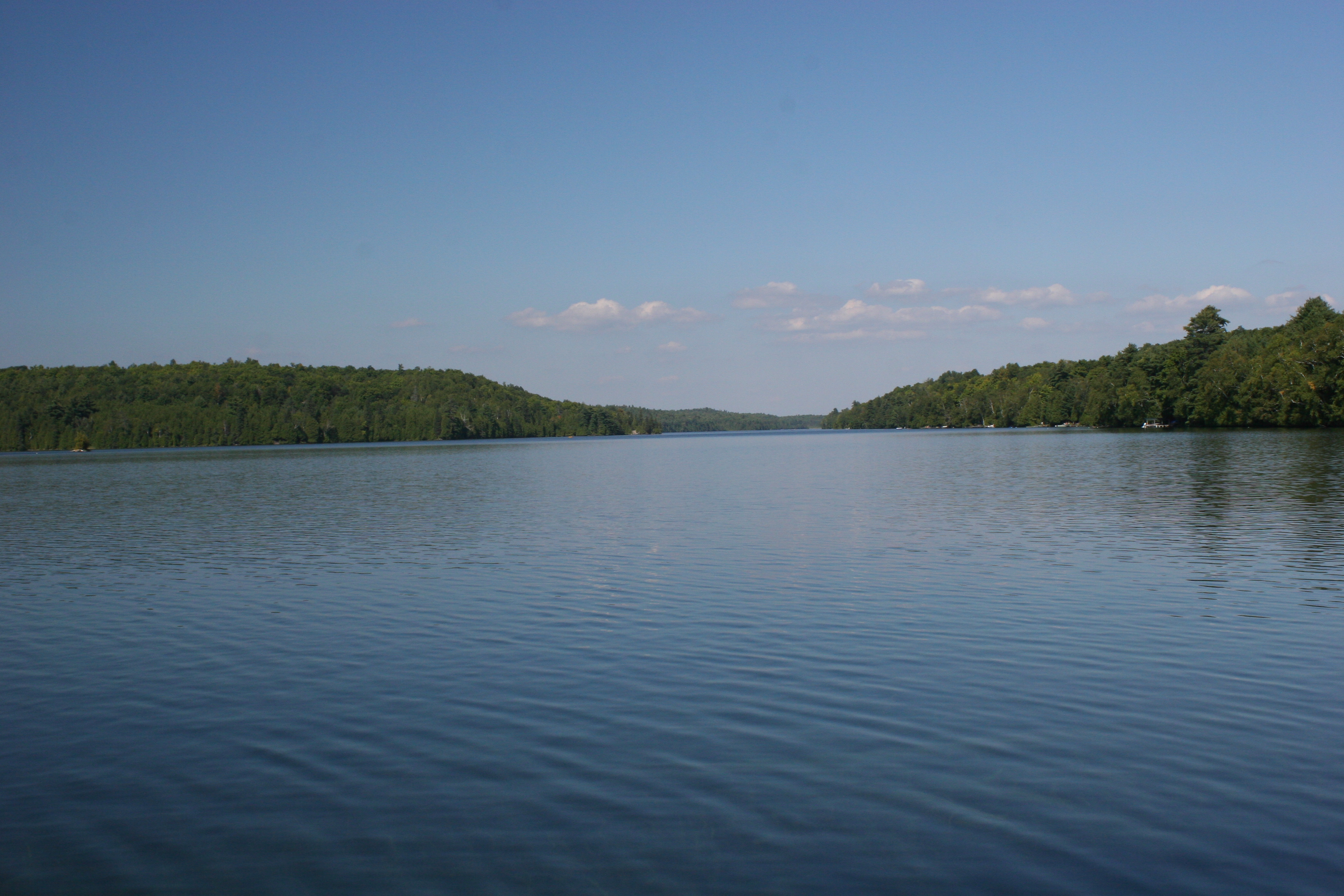
Canonto Lake_view from the deck_IMG_6949
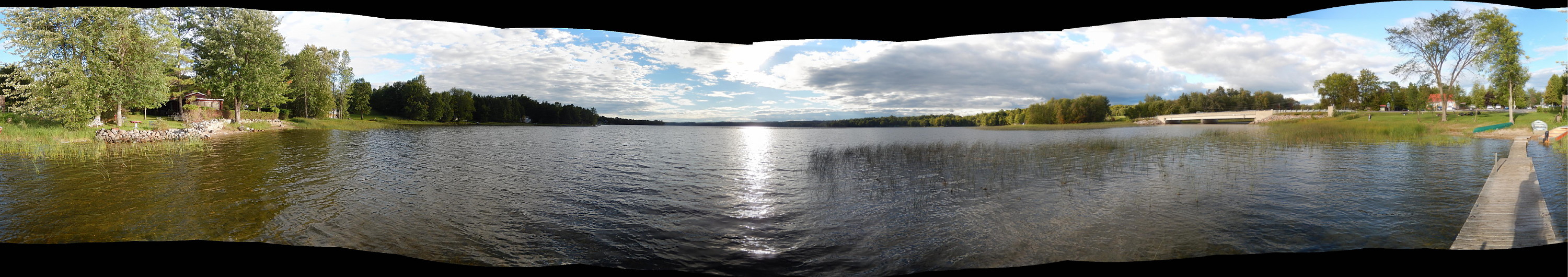
Dalhousie Lake, panorama
Umpherson Mill Rd, Lanark County

Tree Root
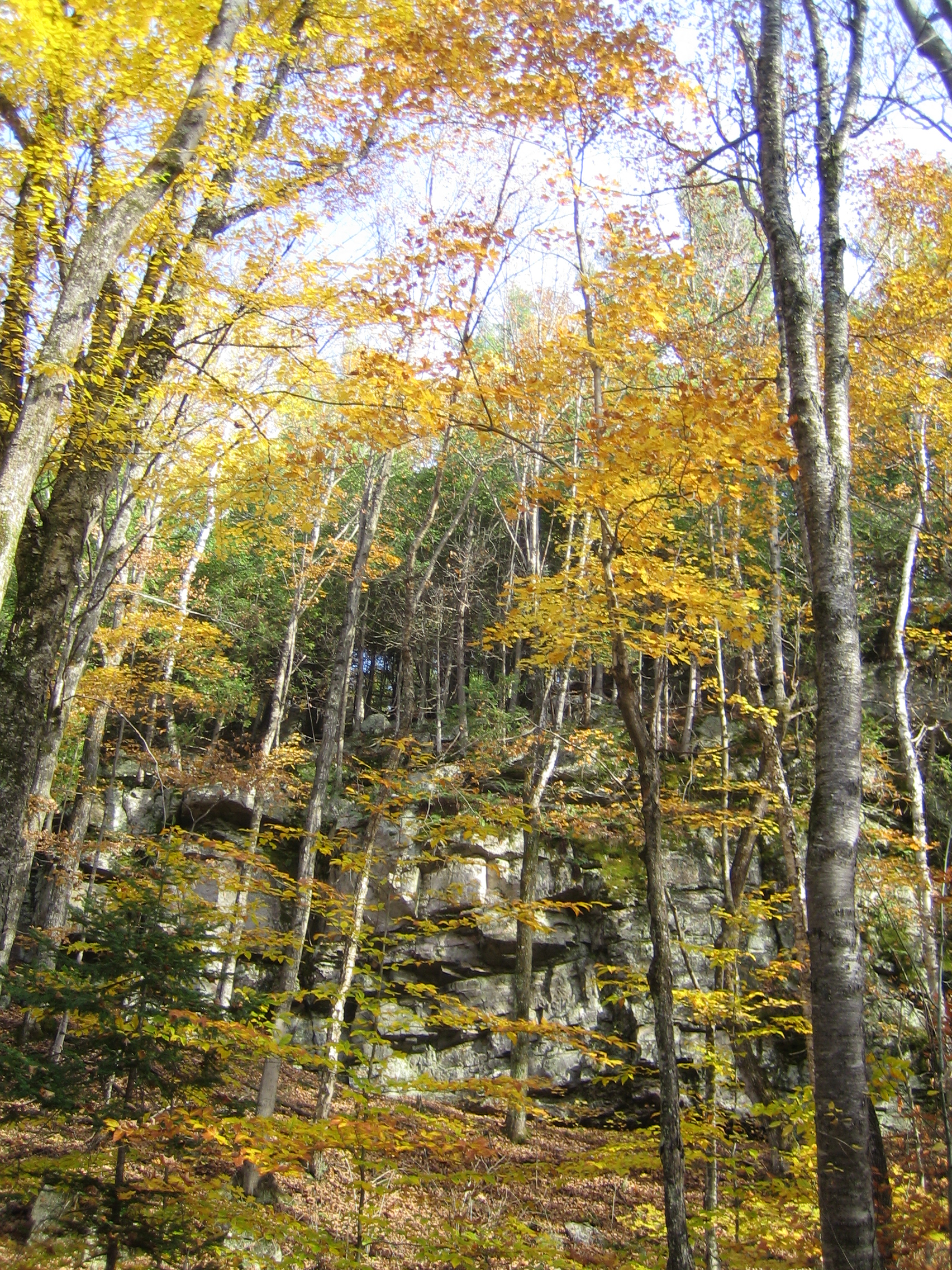
Sacred Ground

Stream in Lanark Highlands
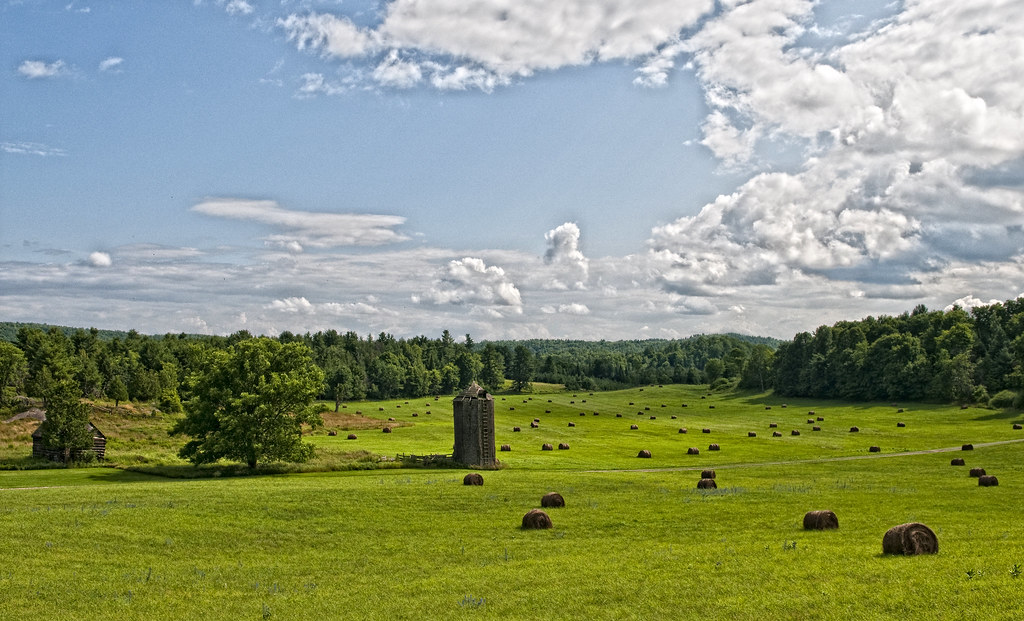
A Herd of Hay
Evening Light on Skull Island - day 2

Clyde Lake Fall Sunset

Canada Ride

Evening Light on Skull Island - day 2
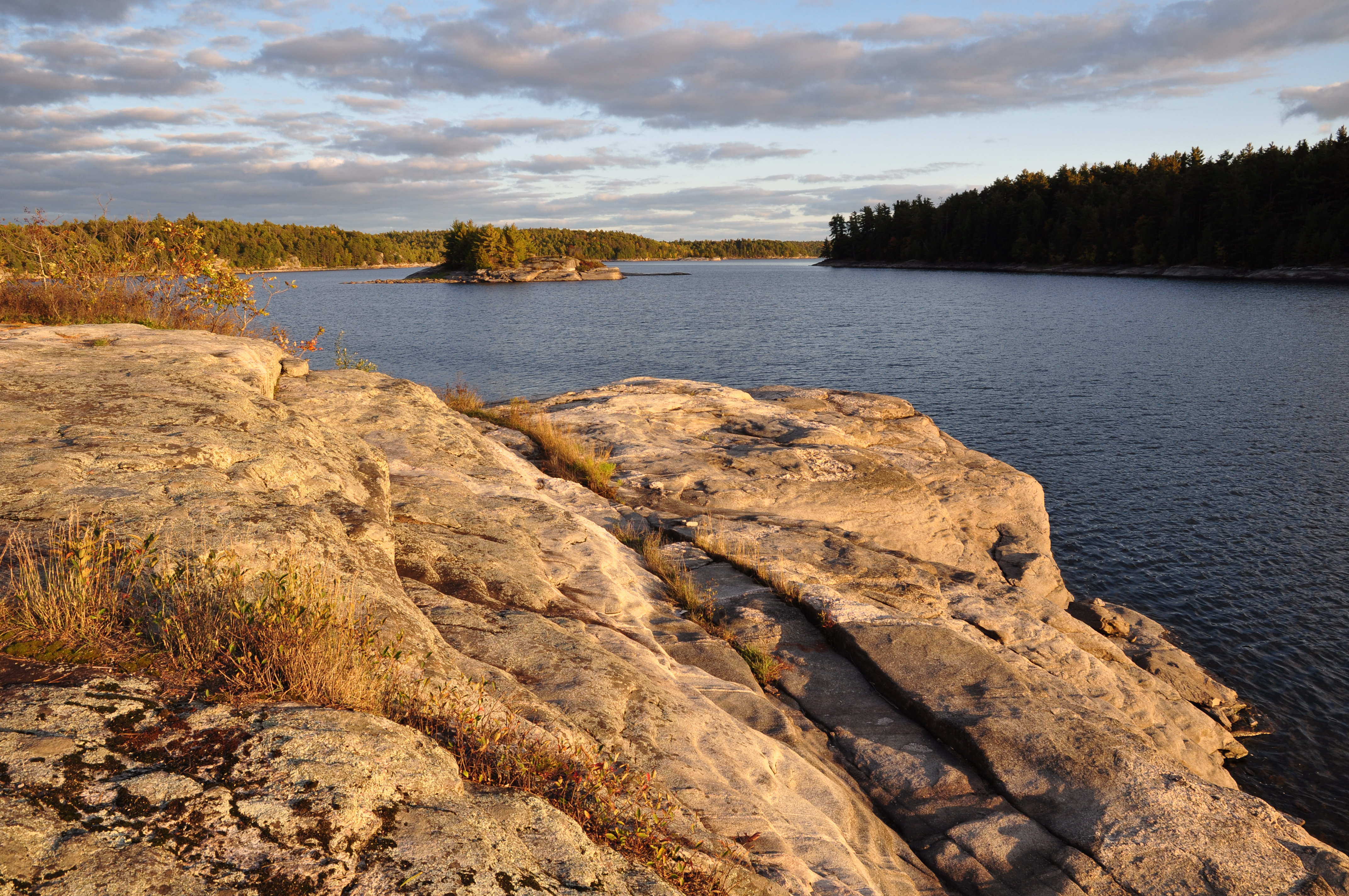
Sunset on Skull Island, Crotch Lake
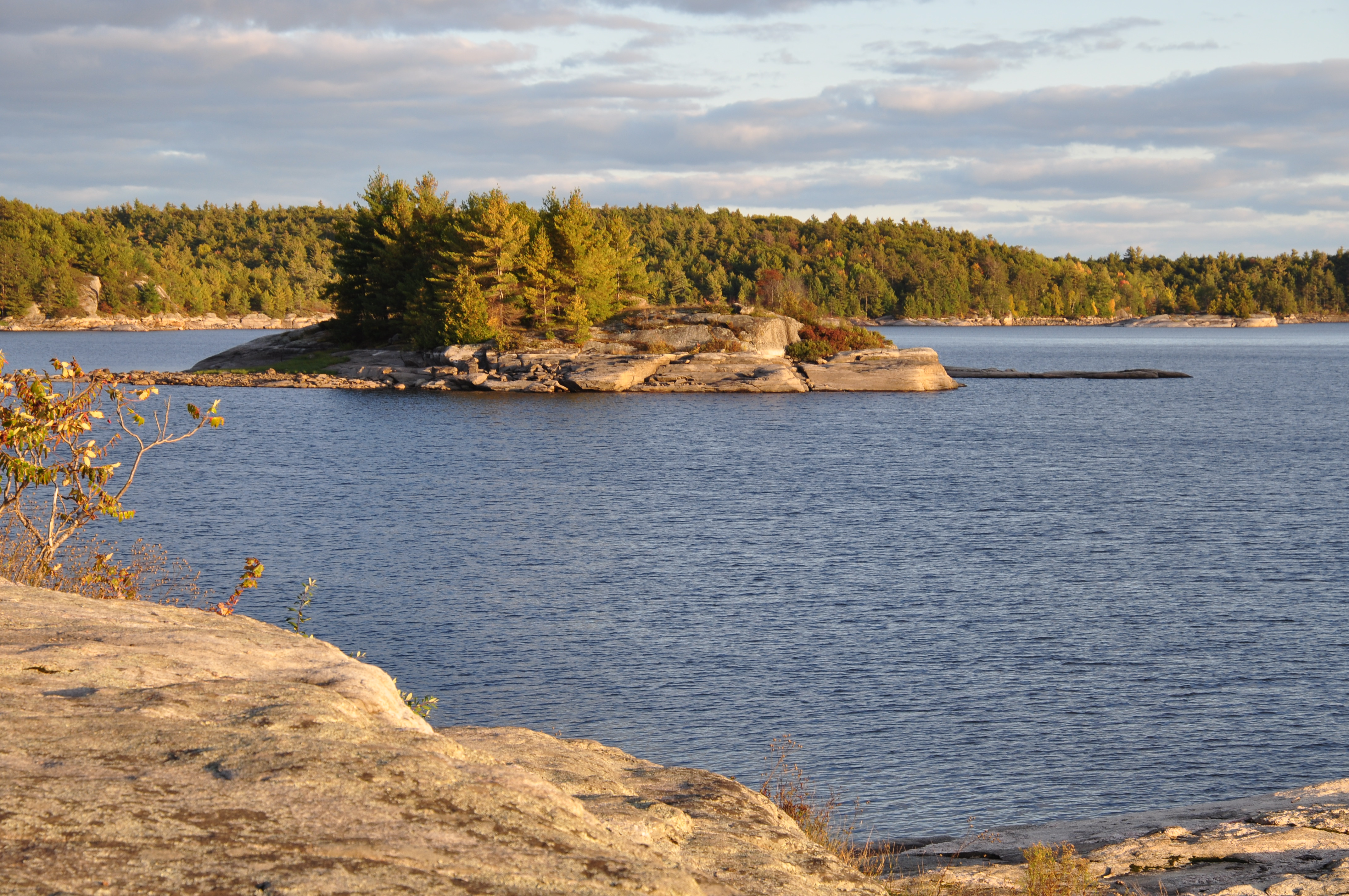
Morning Light at Crotch - Day 3
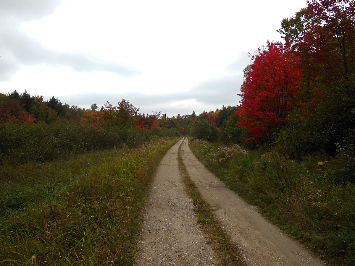
Country road

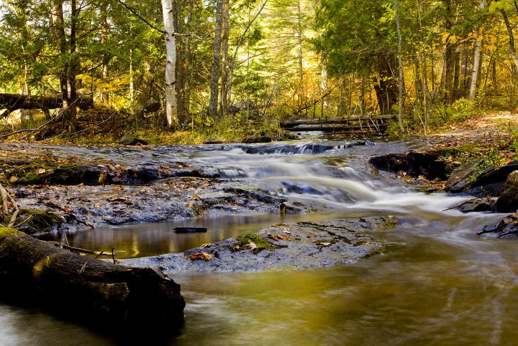
baby falls
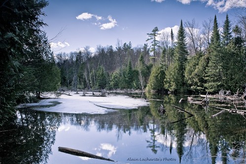
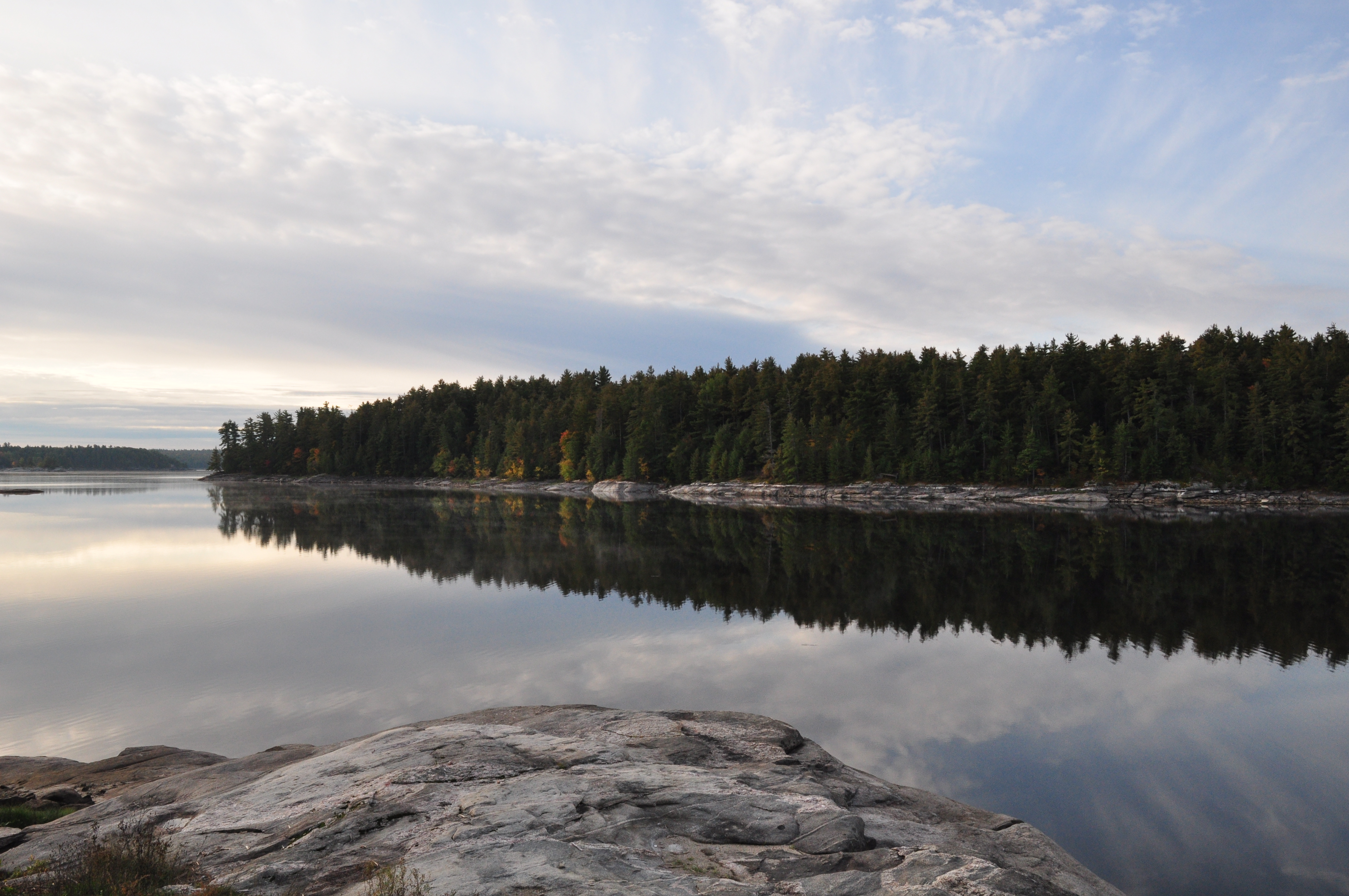
Lanark Stream
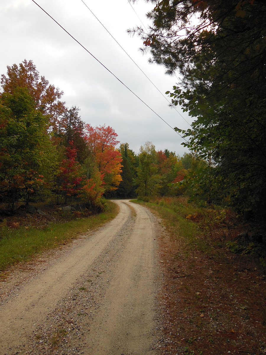
Country road
Look up_IMG_7121

Palmerston Lake_IMG_7076
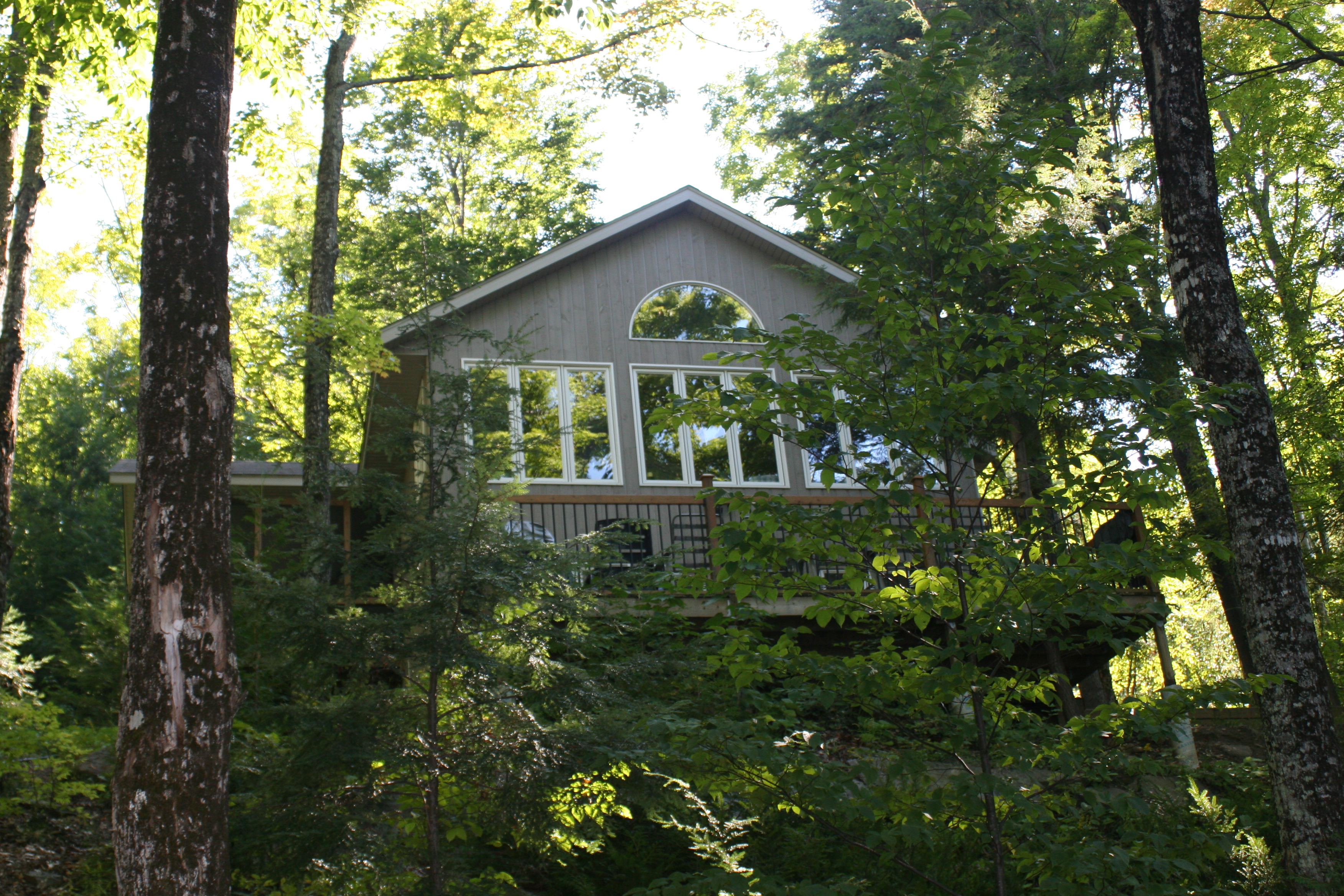
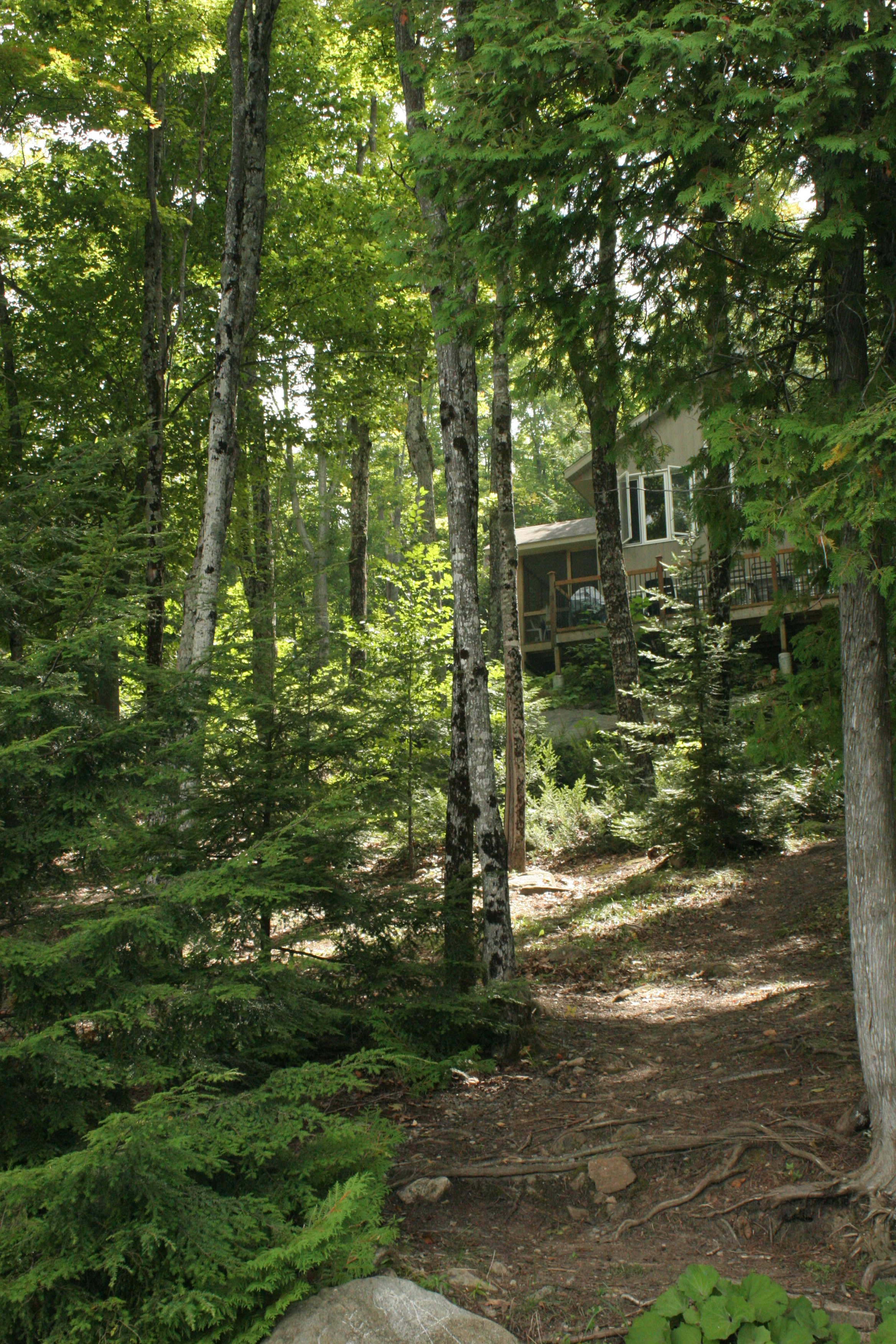
Cottage, from the firepit_IMG_6948
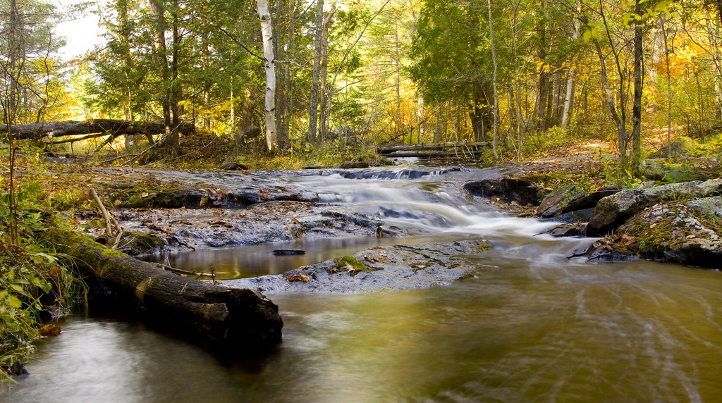
Lanark Stream II
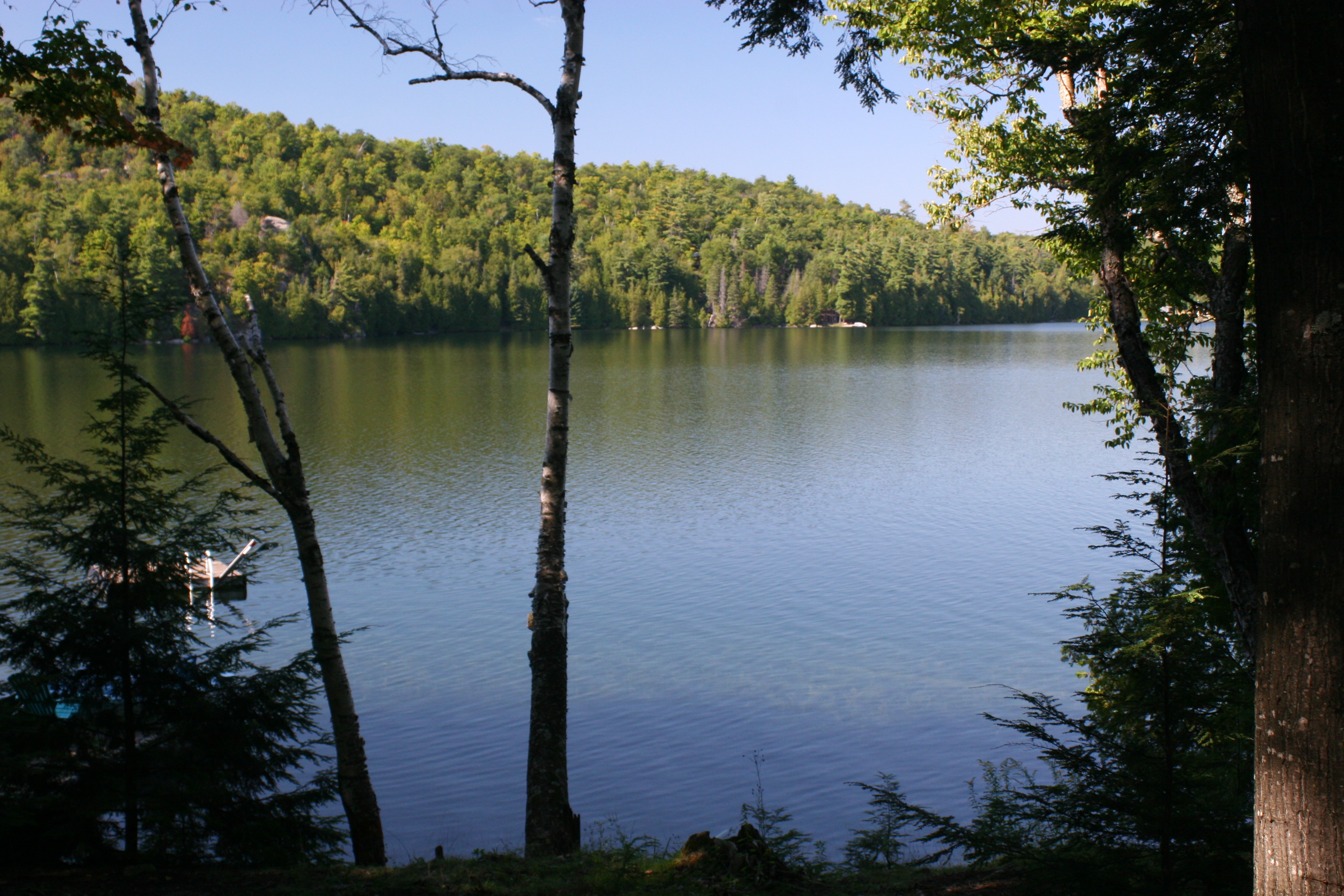
Canonto Lake_IMG_6951
Topographic Map of S Lavant Rd, Mississippi Station, ON K0H 2C0, Canada
Find elevation by address:

Places near S Lavant Rd, Mississippi Station, ON K0H 2C0, Canada:
117 Folger Rd
Antoine Lake
1918 Arcol Rd
Young Lane
10393 Road 509
Ompah
Dead End Lane
1052 Dead End Ln
Clyde Lake
Darcys Road
Waddle Creek Road
Norcan Lake
8680 511
166 Stoughton Sideroad
591 Barrett Chute Rd
Lanark Highlands
Calabogie Peaks Resort
Calabogie Ski Racing Club
Watsons Corners
307 Lacourse Ln
Recent Searches:
- Elevation of Shibuya Scramble Crossing, 21 Udagawacho, Shibuya City, Tokyo -, Japan
- Elevation of Jadagoniai, Kaunas District Municipality, Lithuania
- Elevation of Pagonija rock, Kranto 7-oji g. 8"N, Kaunas, Lithuania
- Elevation of Co Rd 87, Jamestown, CO, USA
- Elevation of Tenjo, Cundinamarca, Colombia
- Elevation of Côte-des-Neiges, Montreal, QC H4A 3J6, Canada
- Elevation of Bobcat Dr, Helena, MT, USA
- Elevation of Zu den Ihlowbergen, Althüttendorf, Germany
- Elevation of Badaber, Peshawar, Khyber Pakhtunkhwa, Pakistan
- Elevation of SE Heron Loop, Lincoln City, OR, USA