Elevation of Barrett Chute Rd, Calabogie, ON K0J 1H0, Canada
Location: Canada > Ontario > Renfrew County > Greater Madawaska > Calabogie >
Longitude: -76.763738
Latitude: 45.255538
Elevation: 172m / 564feet
Barometric Pressure: 99KPa
Elevation Map:
Satellite Map:
Related Photos:
Calabogie Eagles Nest

View from the top of Blueberry Mountain. Lanark Highlands, Ontario.

Eagles Nest Ontario

View from the top of Bluberry Mountain, Lanark Highlands, Ontario.

View from the top of Blueberry Mountain. Lanark Highlands, Ontario.

View from the top of Blueberry mountain

View from the top of Blueberry Mountain. Lanark Highlands, Ontario.

View from the top of Blueberry Mountain

Stand on Eagle Rock

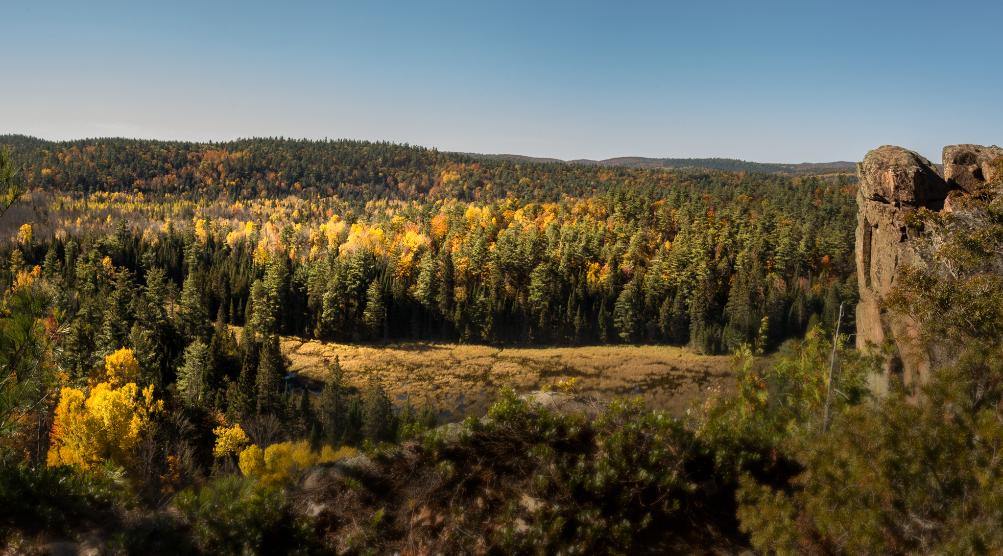
Eagle's Nest colours
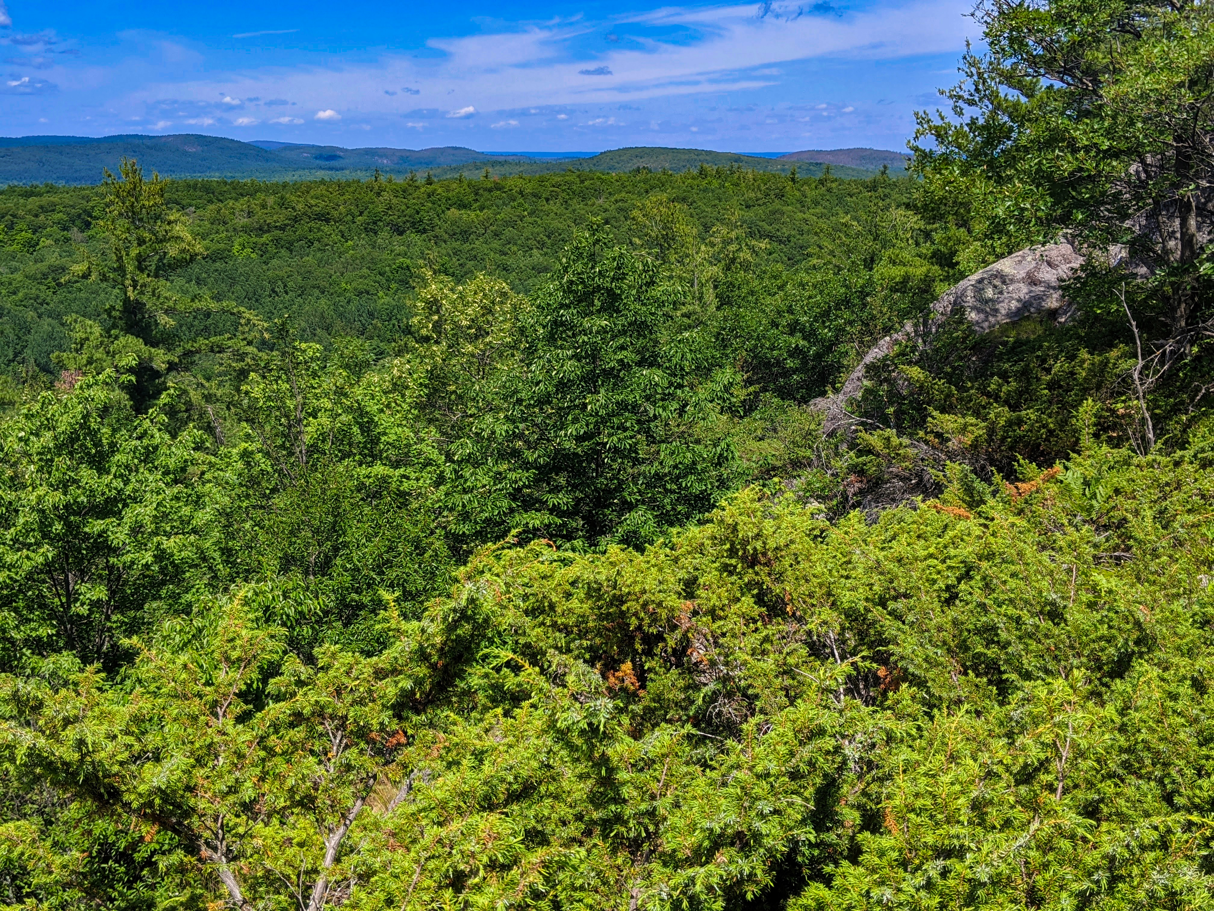
View from the top of Bluberry Mountain, Lanark Highlands, Ontario.
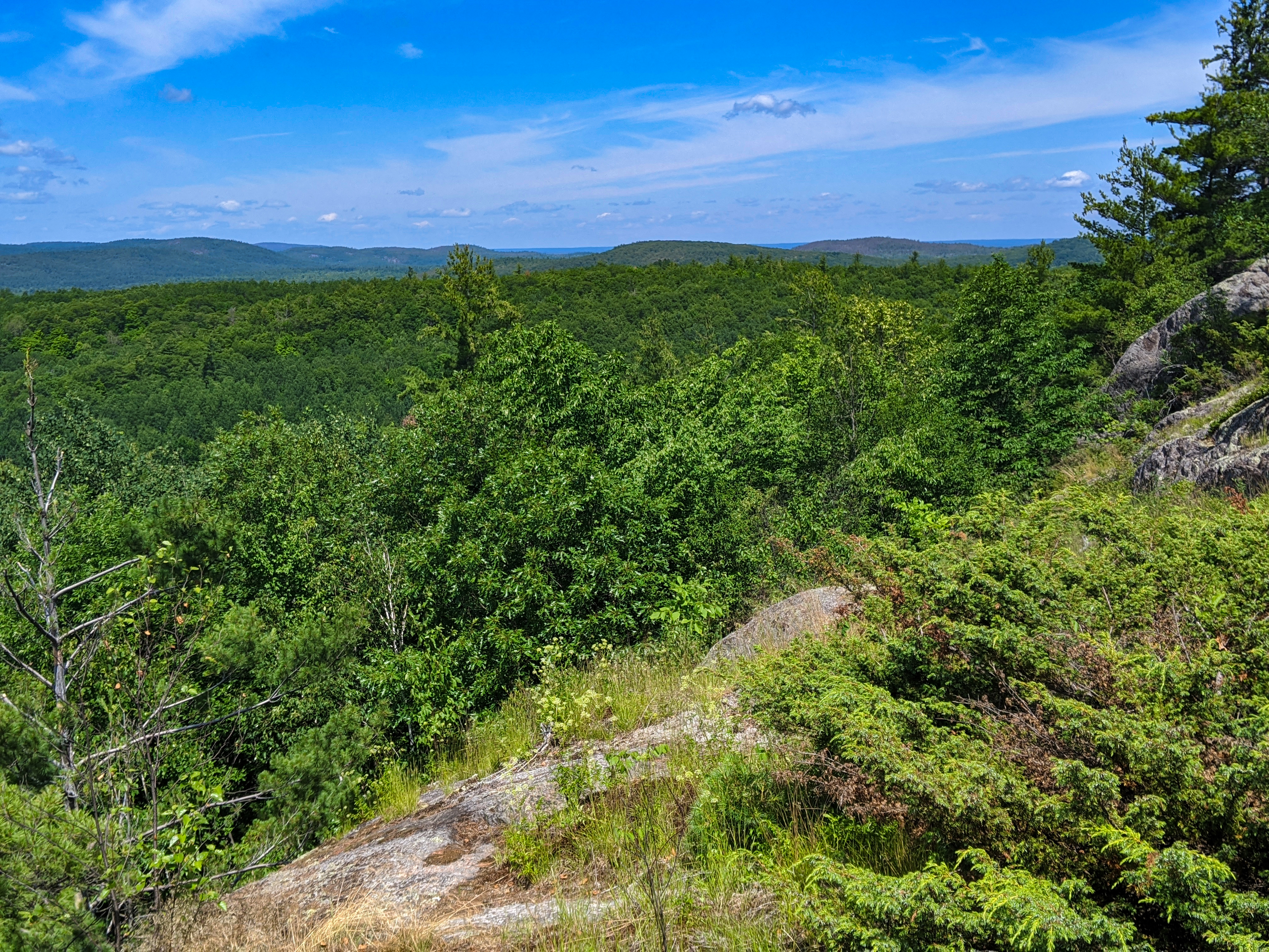
View from the top of Blueberry Mountain. Lanark Highlands, Ontario.

View from the top of Blueberry mountain

At the Eagle's Nest

Calabogie Peaks

Calabogie Peaks
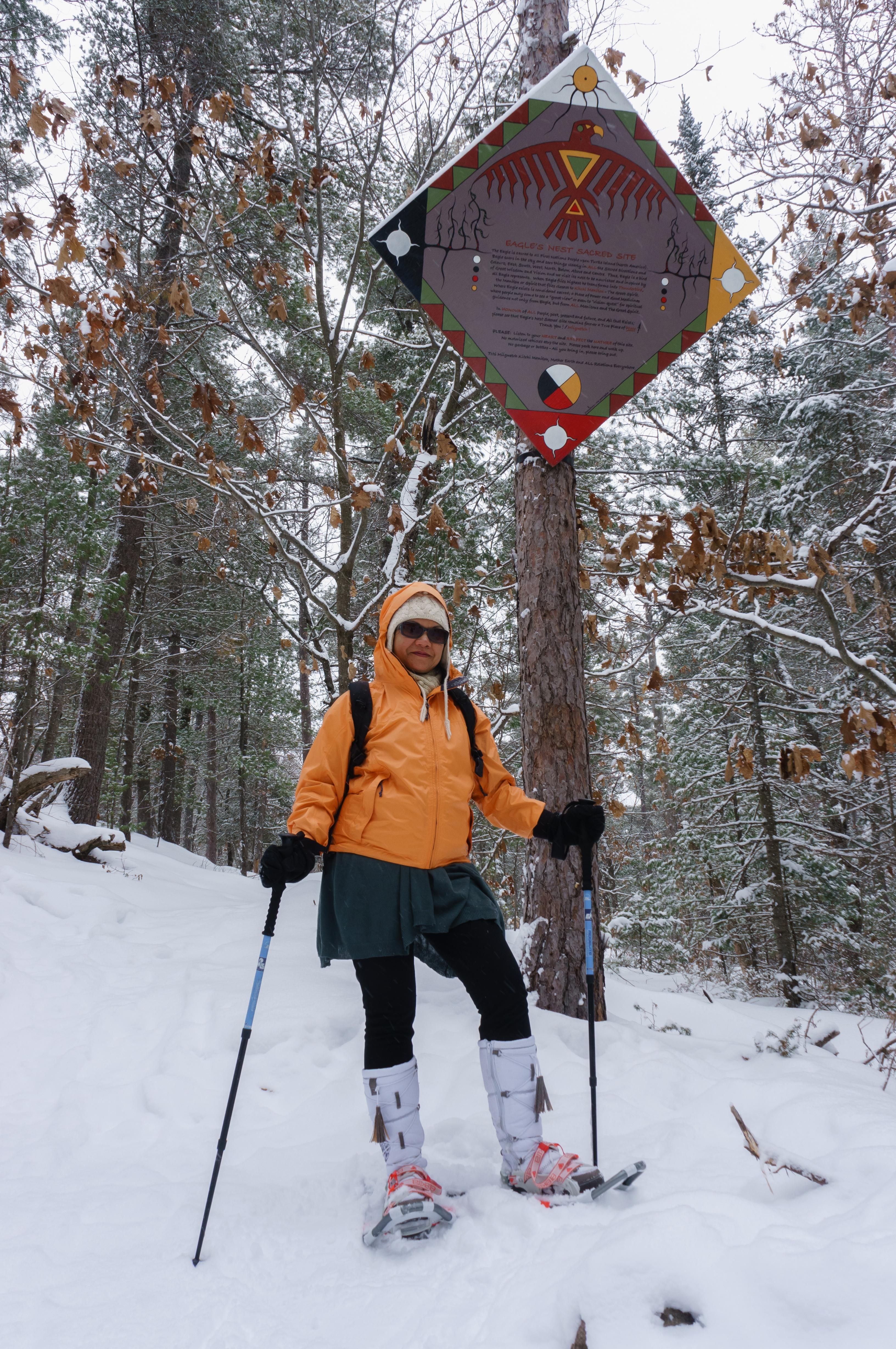
At the Eagle's Nest

At Red Arrow Rock Lookout

At the Eagle's Nest

Mysterious Sea Creatures

Calabogie Peaks

Pull up a seat.

Approaching rainstorm panorama : Autostitch

Reflections on Clyde Lake

Autumn reflections on Clyde Lake, Ontario

October - Fall - Lanark Stream

Autumn reflections on Clyde Lake, Ontario

Sunset on Clyde Lake

Kayakers in Float

Calabogie Peaks

Diving Board Rocks!

Eagle Nest Lookout

Eagle Nest Lookout Panorama - Calabogie Oct 8, 2015

Abandoned farm near Springtown, Ontario

Eagle's Nest colours

Pats Creek

Eagle's Nest colours
Topographic Map of Barrett Chute Rd, Calabogie, ON K0J 1H0, Canada
Find elevation by address:

Places near Barrett Chute Rd, Calabogie, ON K0J 1H0, Canada:
Calabogie Peaks Resort
Calabogie Ski Racing Club
166 Stoughton Sideroad
Calabogie Rd, Calabogie, ON K0J 1H0, Canada
Calabogie
Clyde Lake
Greater Madawaska
345 Kennelly Mountain Rd
345 Kennelly Mountain Rd
Norcan Lake
Mount Saint Patrick
K7v 3z7
Admaston/bromley
630 Long Point Way
117 Folger Rd
307 Lacourse Ln
5626 On-132
1918 Arcol Rd
1211 Colton Rd
152 S Mcnaughton Rd
Recent Searches:
- Elevation of Co Rd 87, Jamestown, CO, USA
- Elevation of Tenjo, Cundinamarca, Colombia
- Elevation of Côte-des-Neiges, Montreal, QC H4A 3J6, Canada
- Elevation of Bobcat Dr, Helena, MT, USA
- Elevation of Zu den Ihlowbergen, Althüttendorf, Germany
- Elevation of Badaber, Peshawar, Khyber Pakhtunkhwa, Pakistan
- Elevation of SE Heron Loop, Lincoln City, OR, USA
- Elevation of Slanický ostrov, 01 Námestovo, Slovakia
- Elevation of Spaceport America, Co Rd A, Truth or Consequences, NM, USA
- Elevation of Warwick, RI, USA