Elevation of Dead End Ln, Ompah, ON K0H 2J0, Canada
Location: Canada > Ontario > Frontenac County > North Frontenac > Ompah >
Longitude: -76.840036
Latitude: 45.0109112
Elevation: 288m / 945feet
Barometric Pressure: 98KPa
Elevation Map:
Satellite Map:
Related Photos:

Milky Way
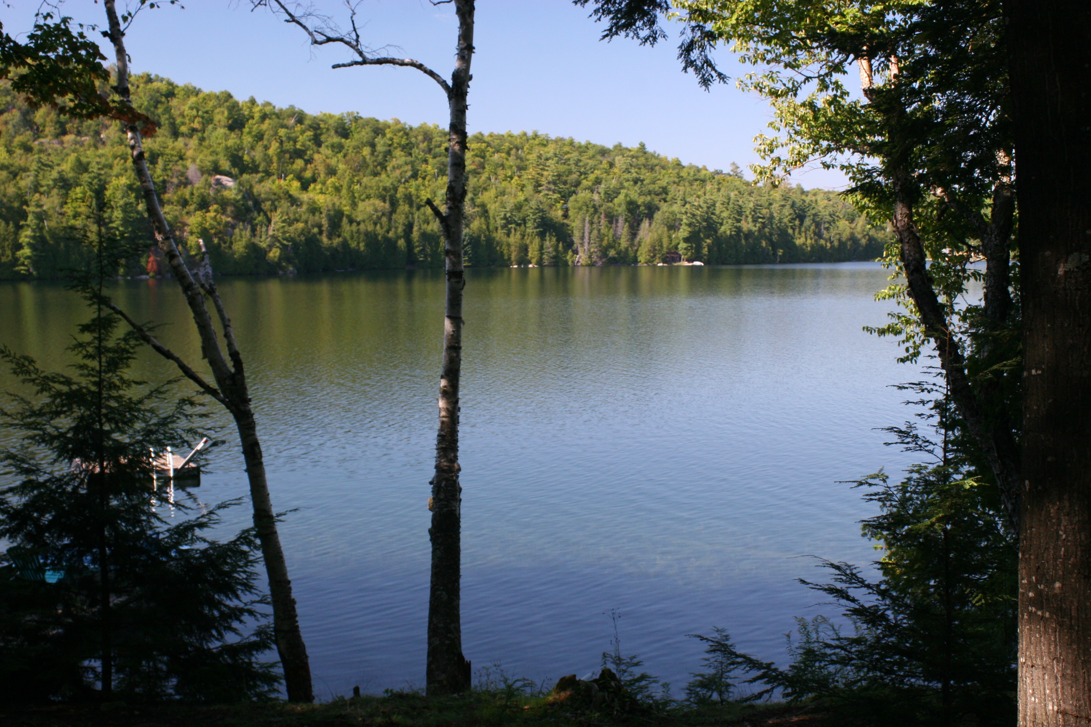
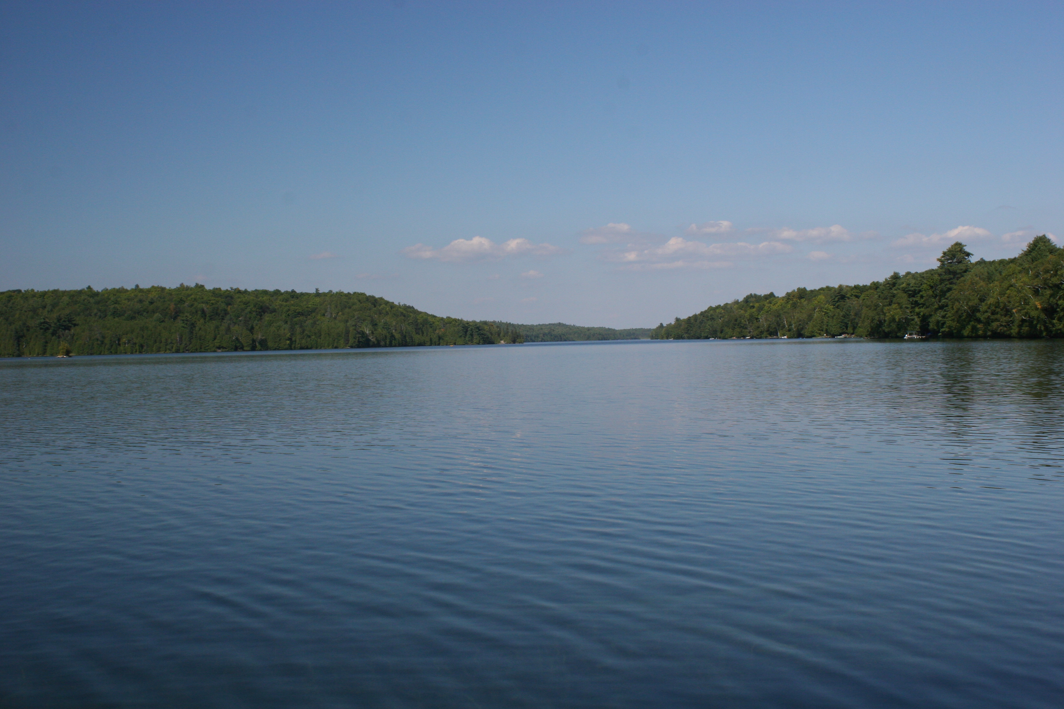
Canonto Lake_view from the deck_IMG_6949

Day 251 - memories of Rural Ontario youth
Evening Light on Skull Island - day 2
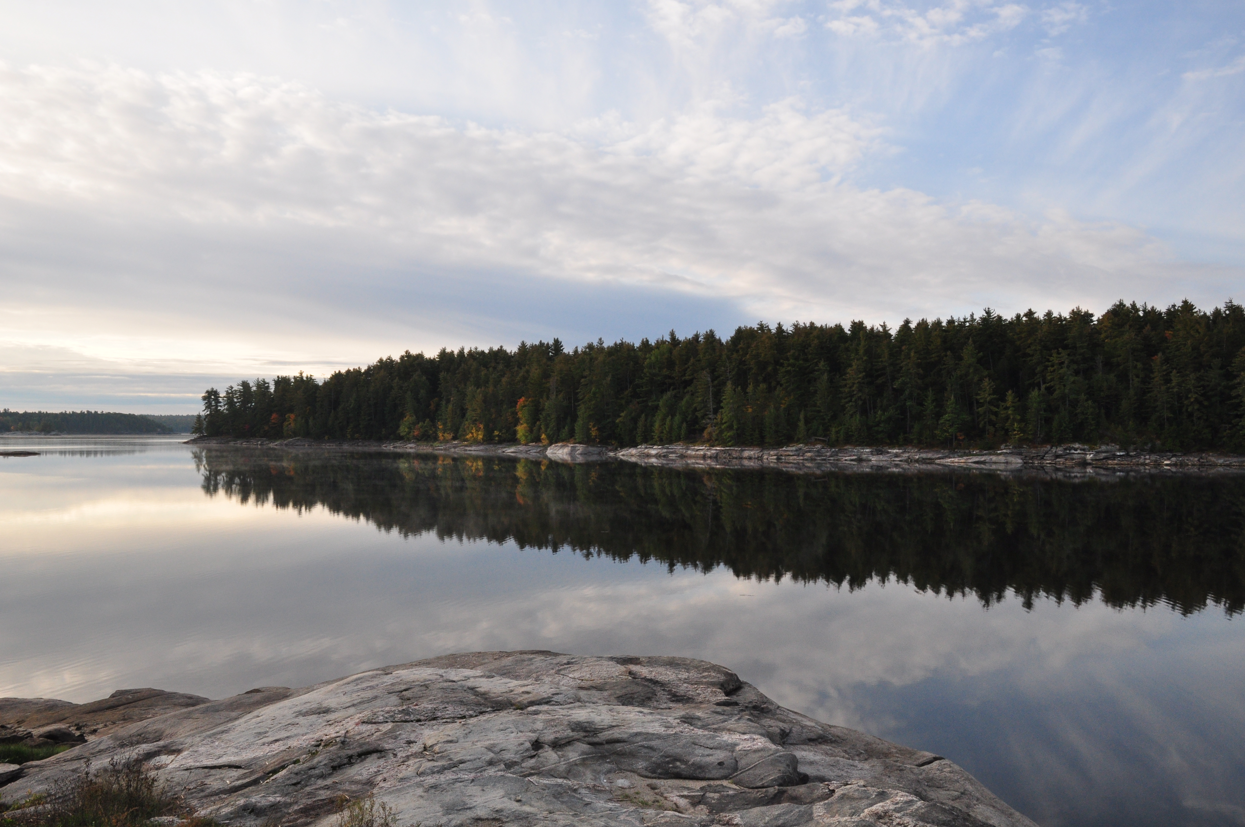
Morning Light at Crotch - Day 3

baby falls
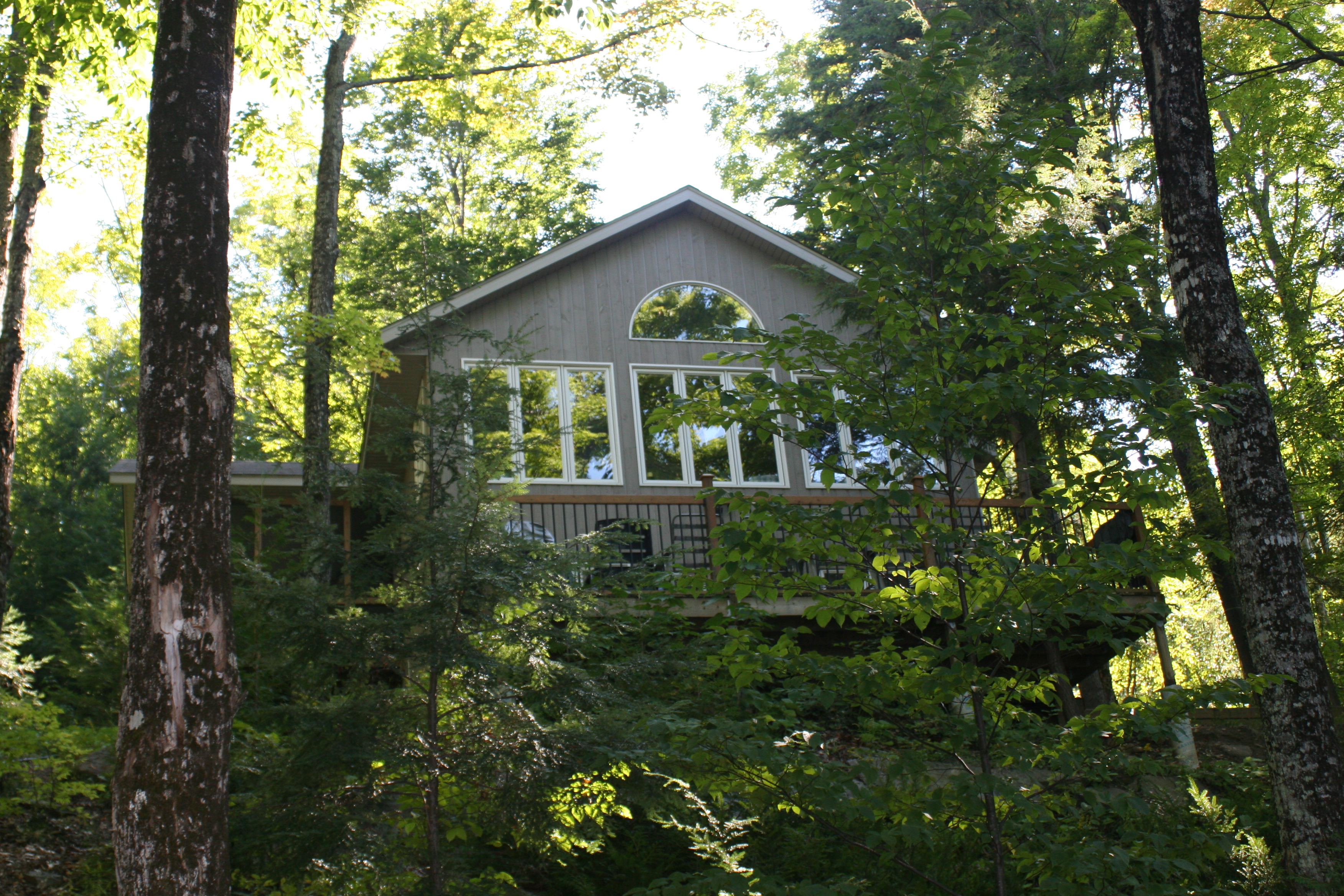
Cottage, from the firepit_IMG_6948

Palmerston Lake_IMG_7076
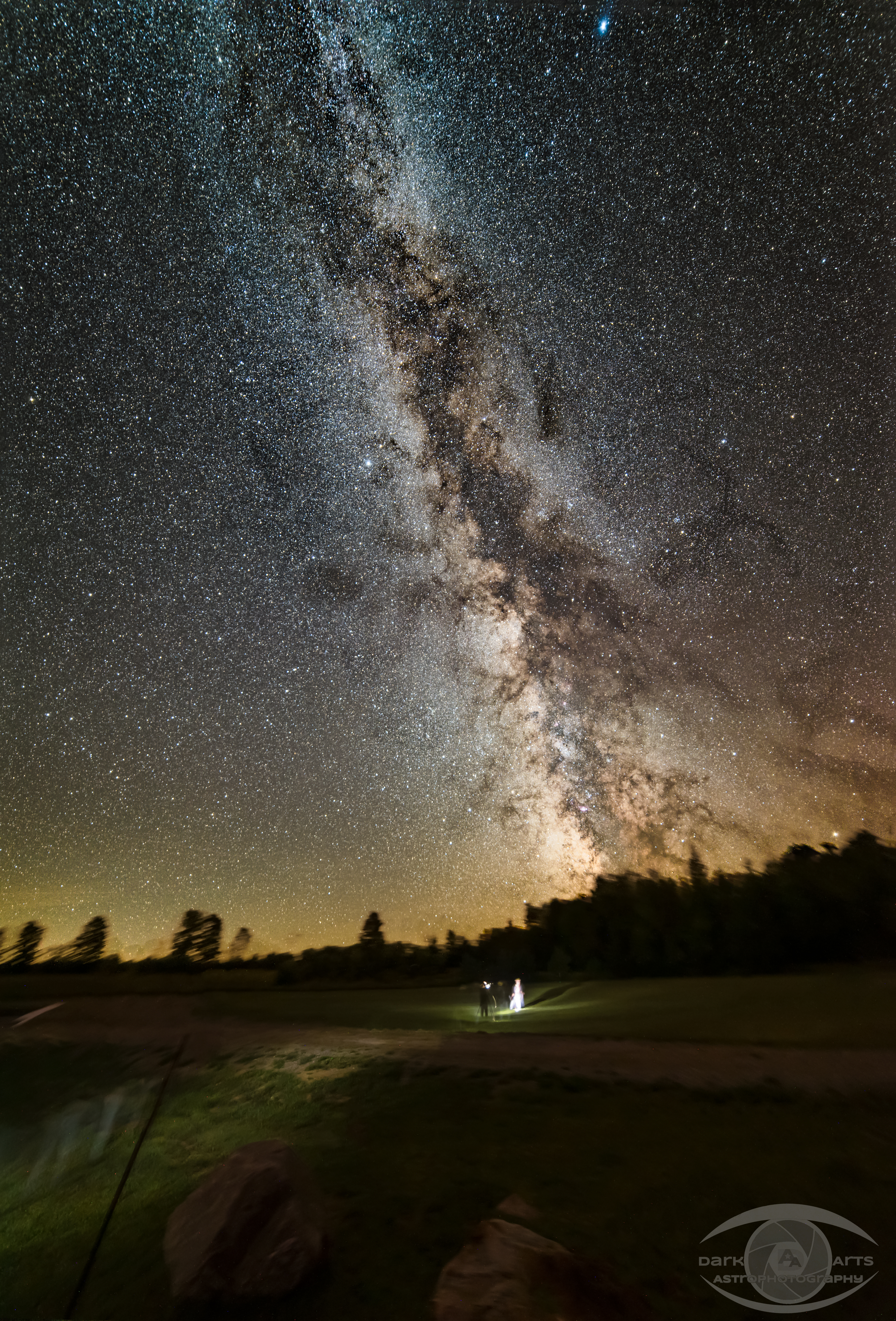
Milky Way
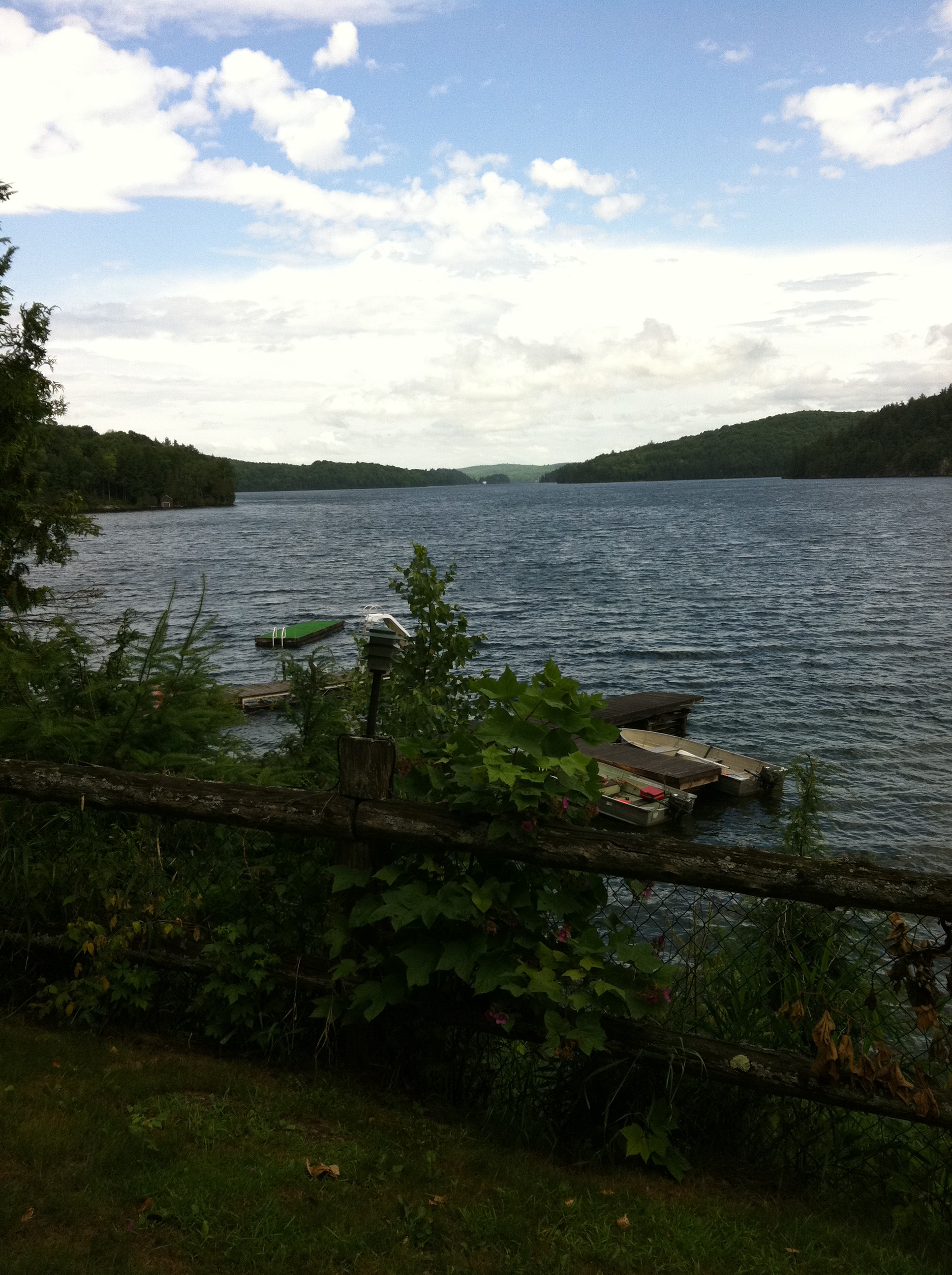
Canonto Lake_IMG_6951
North but not too North Ontario
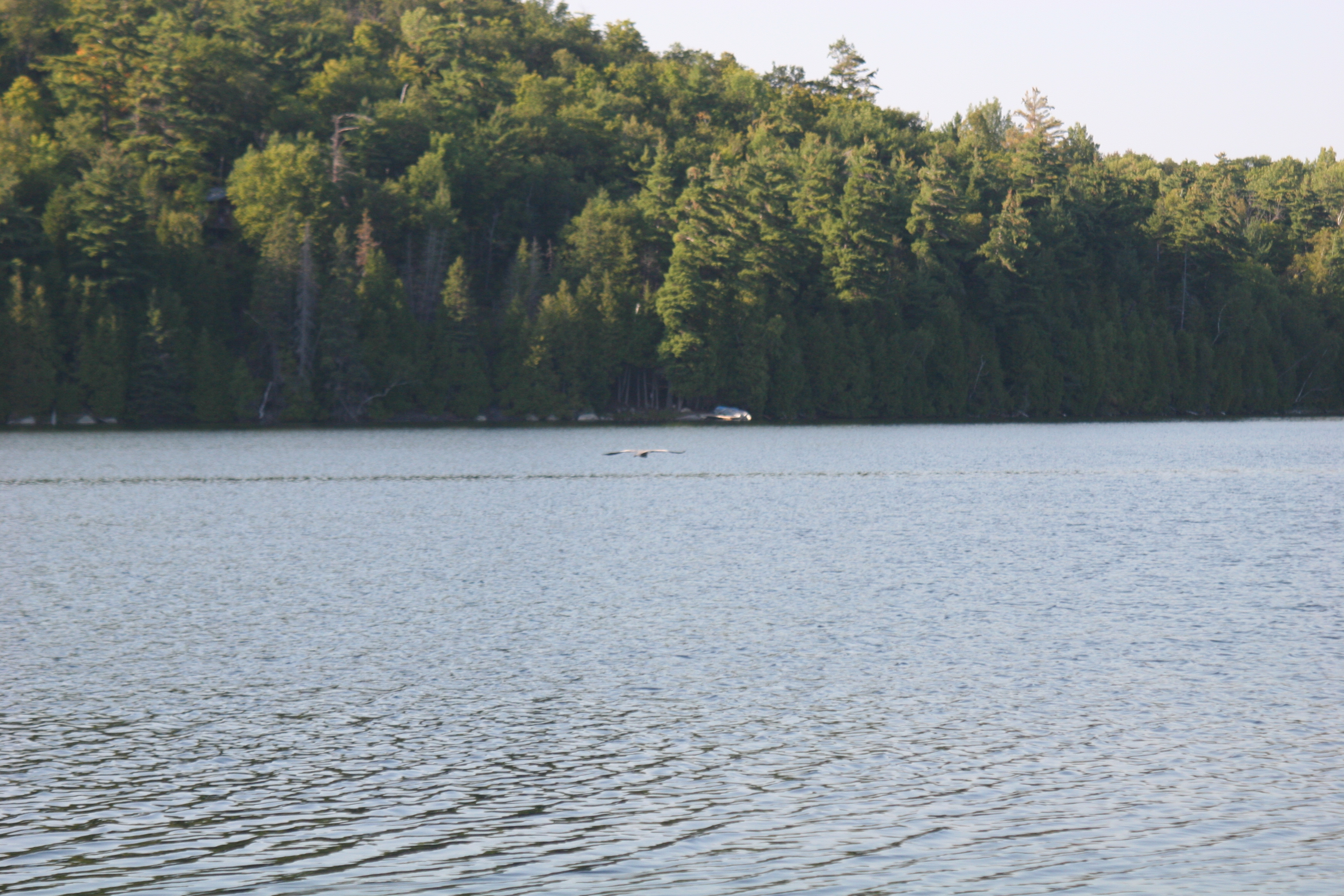
Blue Heron in flight_IMG_6955
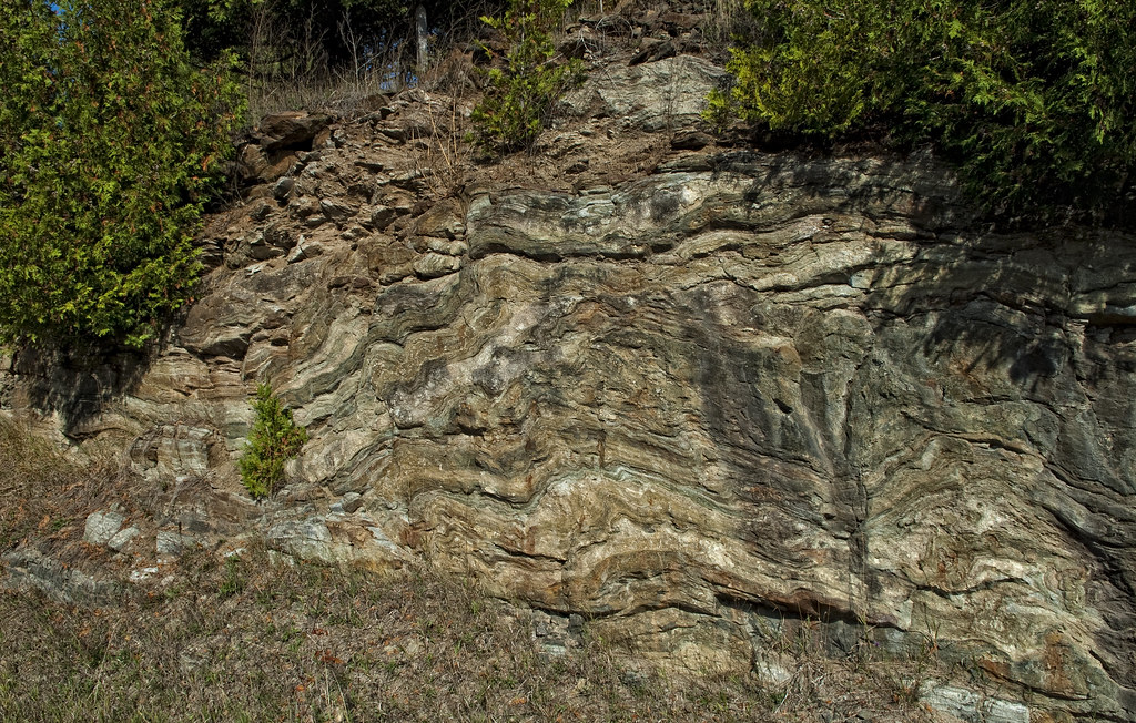
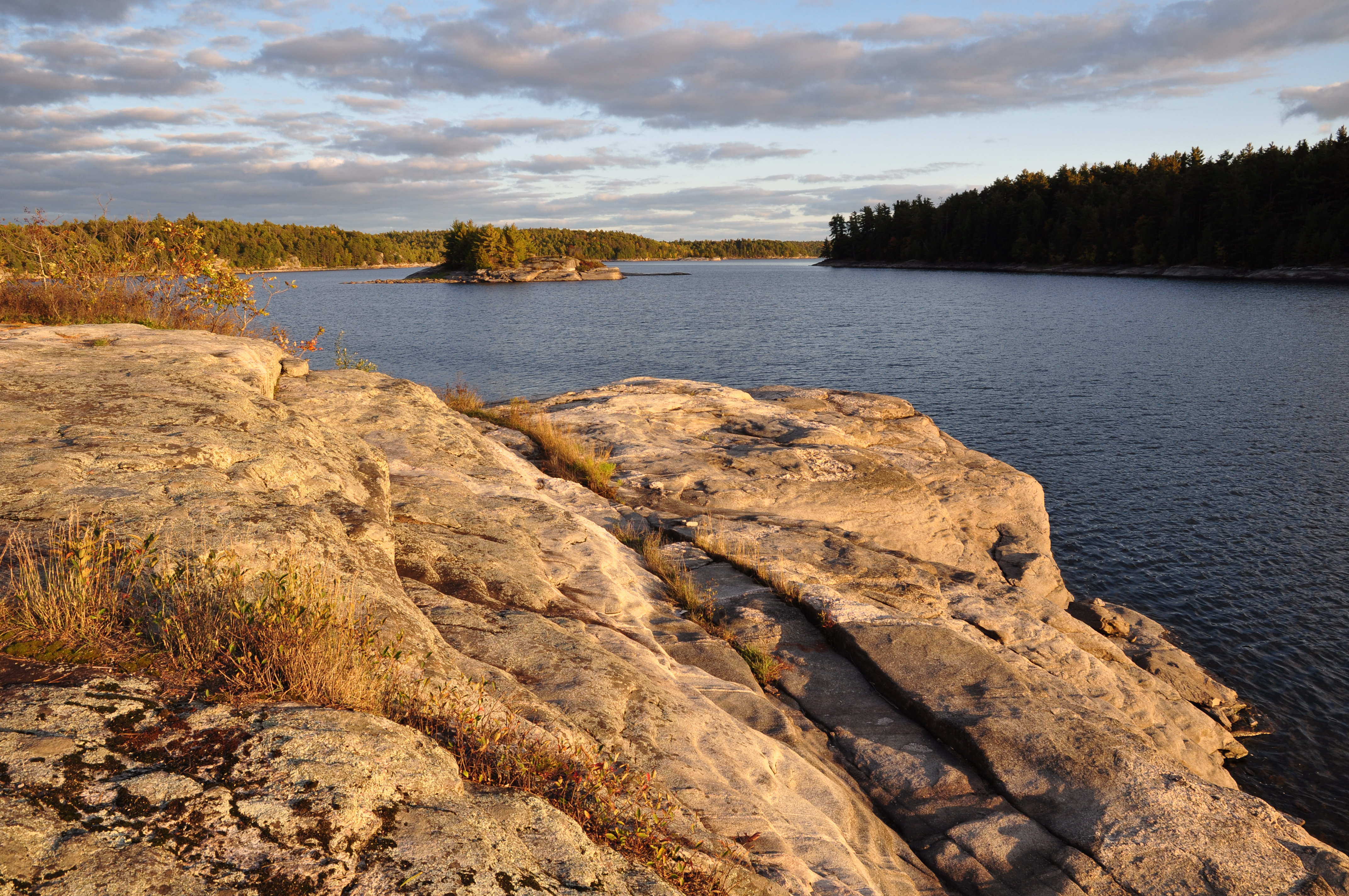
Geological Times Past
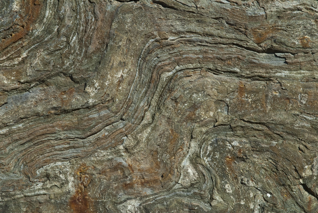
Rock Detail
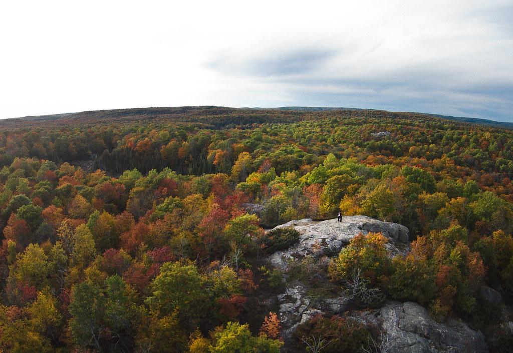
Above the Trees
Topographic Map of Dead End Ln, Ompah, ON K0H 2J0, Canada
Find elevation by address:

Places near Dead End Ln, Ompah, ON K0H 2J0, Canada:
Dead End Lane
Ompah
10393 Road 509
Young Lane
1918 Arcol Rd
Antoine Lake
5440 S Lavant Rd
117 Folger Rd
Norcan Lake
Mountain Rd, Plevna, ON K0H 2M0, Canada
Clyde Lake
Greater Madawaska
591 Barrett Chute Rd
345 Kennelly Mountain Rd
345 Kennelly Mountain Rd
166 Stoughton Sideroad
Calabogie Peaks Resort
Calabogie Ski Racing Club
4605 Centennial Lake Rd
K7v 3z7
Recent Searches:
- Elevation of Snake Hill Rd, North Scituate, RI, USA
- Elevation of Lake Shore Dr, Warwick, RI, USA
- Elevation of E Brightview Ave, Pittsburgh, PA, USA
- Elevation of Cavendish Rd, Harringay Ladder, London N4 1RR, UK
- Elevation of 1 Zion Park Blvd, Springdale, UT, USA
- Elevation of Ganderbal
- Elevation map of Konkan Division, Maharashtra, India
- Elevation of Netaji Nagar, Hallow Pul, Kurla, Mumbai, Maharashtra, India
- Elevation of Uralsk, Kazakhstan
- Elevation of 45- Kahana Dr, Honokaa, HI, USA