Elevation of Ompah, ON K0H, Canada
Location: Canada > Ontario > Frontenac County > North Frontenac >
Longitude: -76.835779
Latitude: 45.0081417
Elevation: 315m / 1033feet
Barometric Pressure: 98KPa
Elevation Map:
Satellite Map:
Related Photos:

Day 251 - memories of Rural Ontario youth
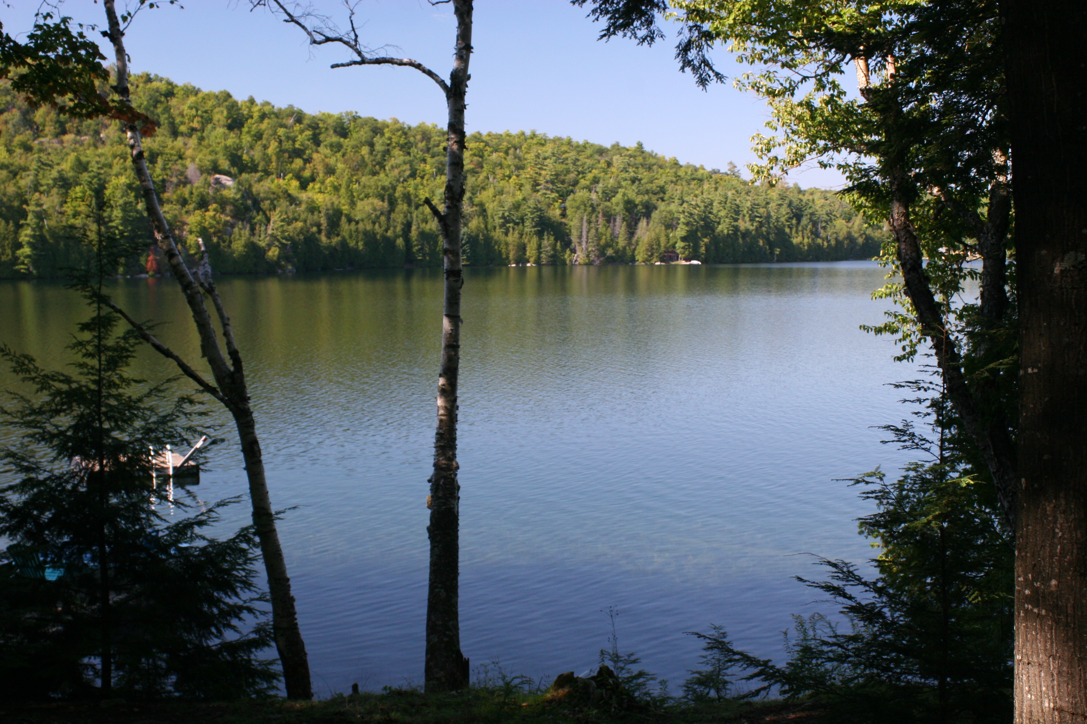
Canonto Lake_view from the deck_IMG_6949

Milky Way
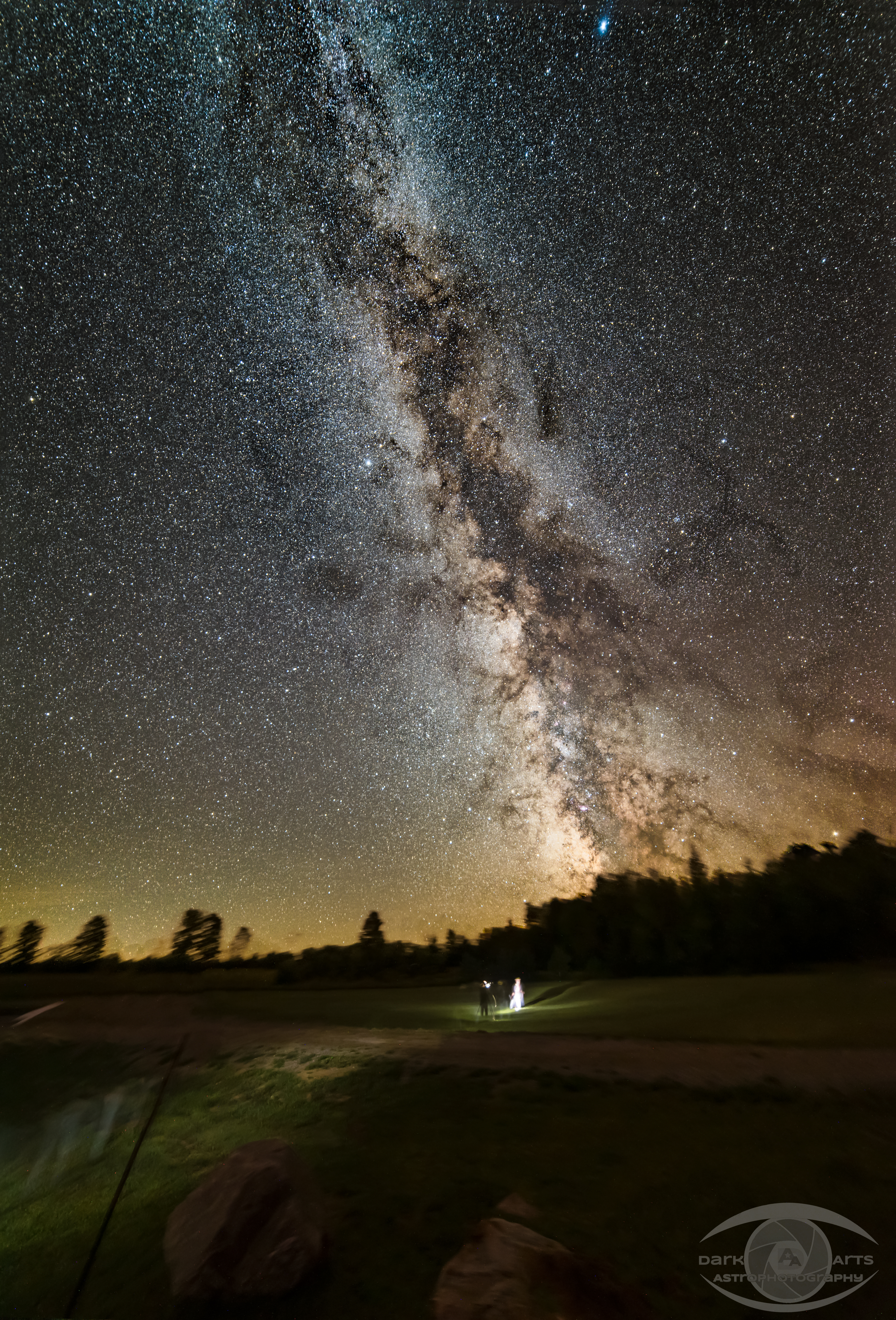
Milky Way
Sacred Ground
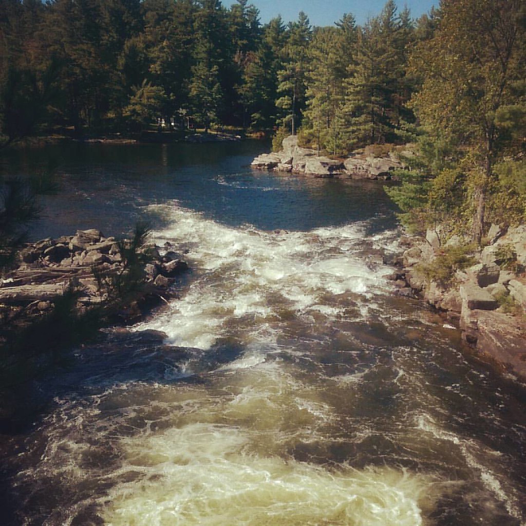
Rolling down whitewater
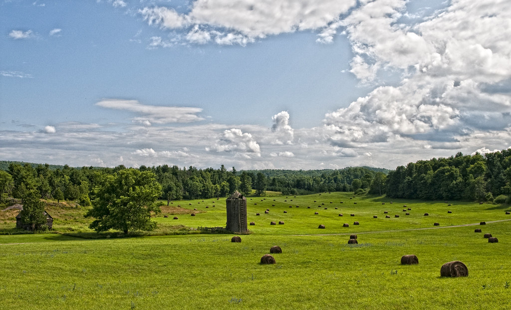
A Herd of Hay
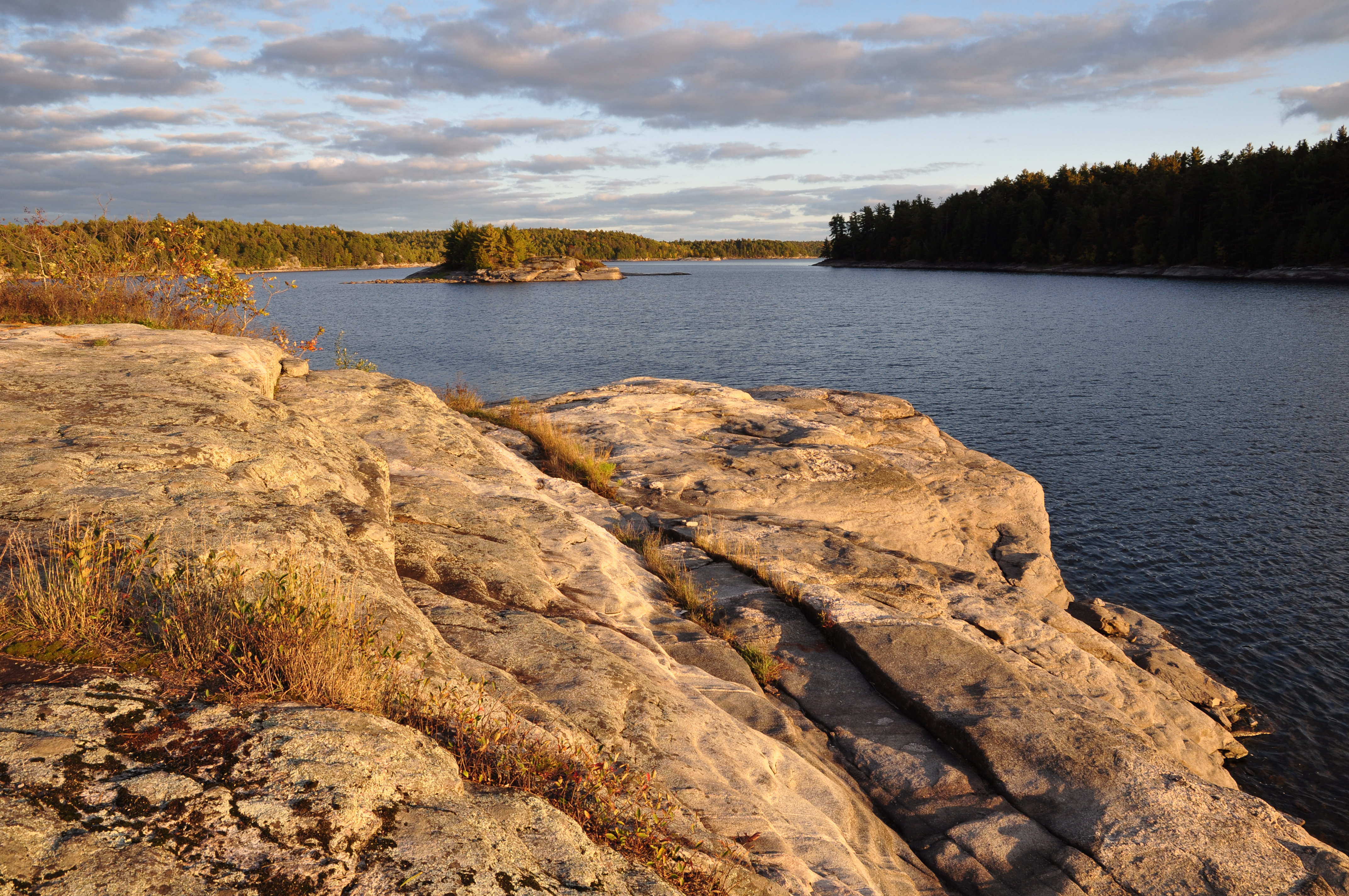
Evening Light on Skull Island - day 2
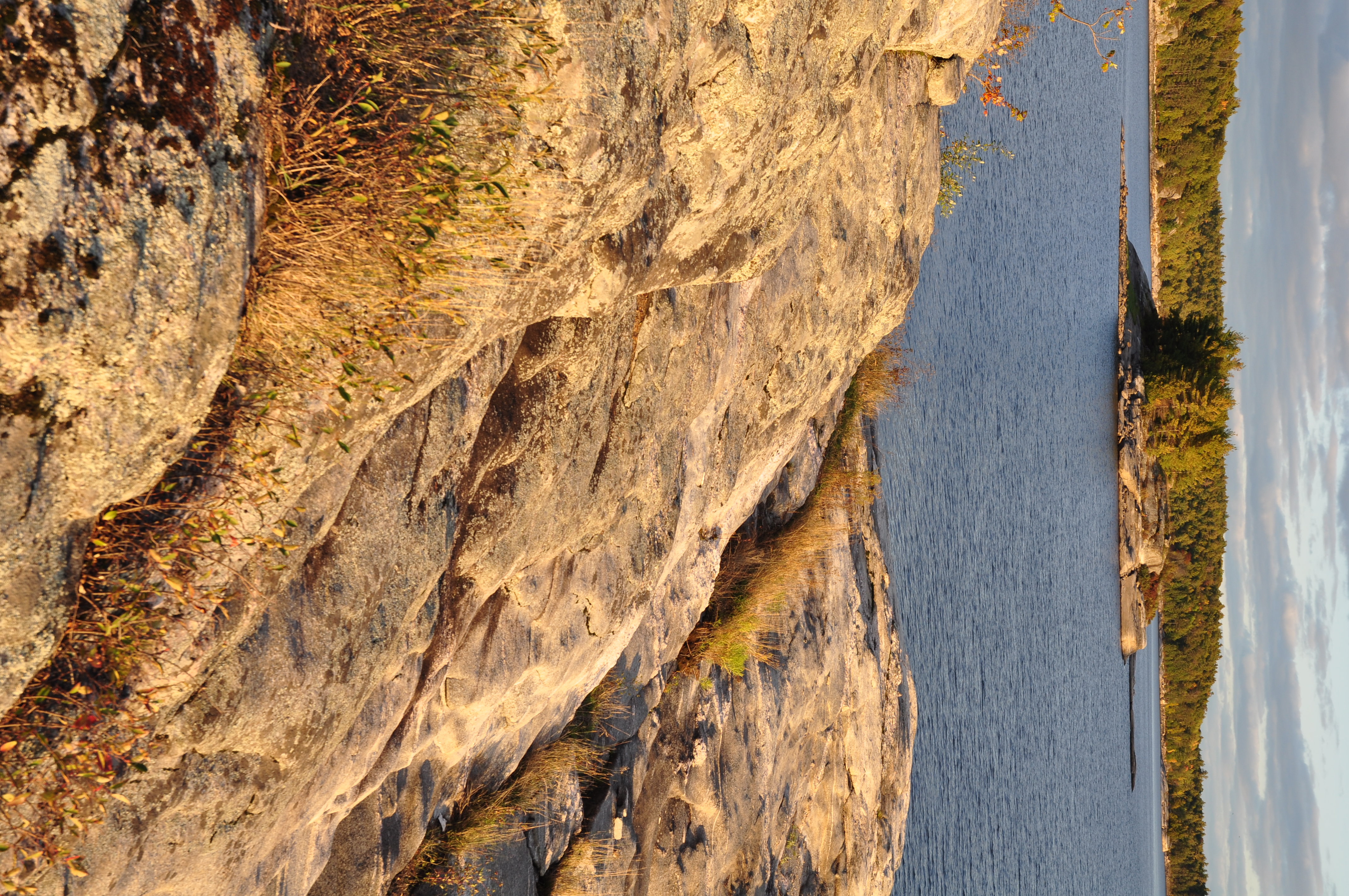
Evening Light on Skull Island - day 2
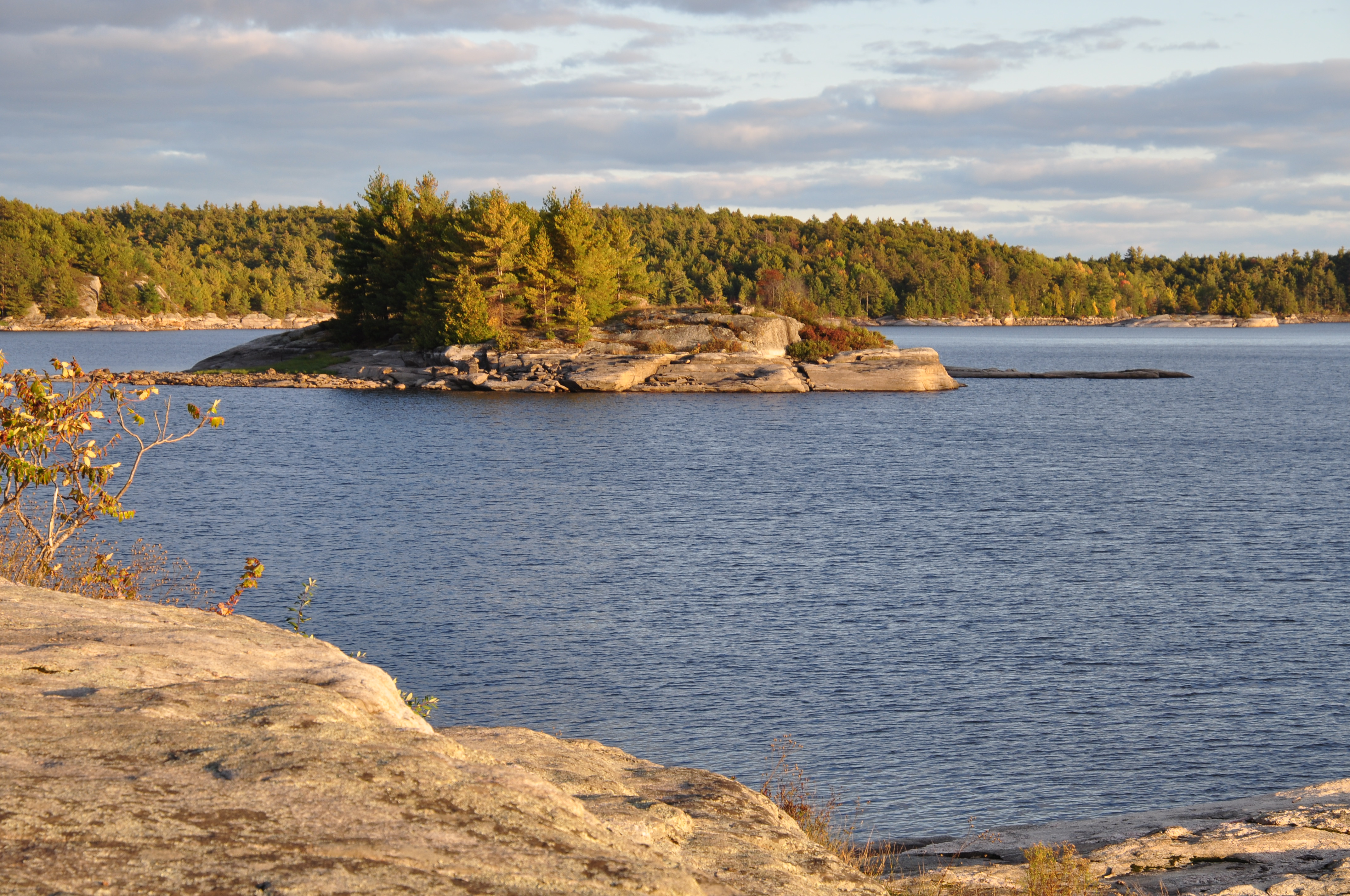
Sunset on Skull Island, Crotch Lake
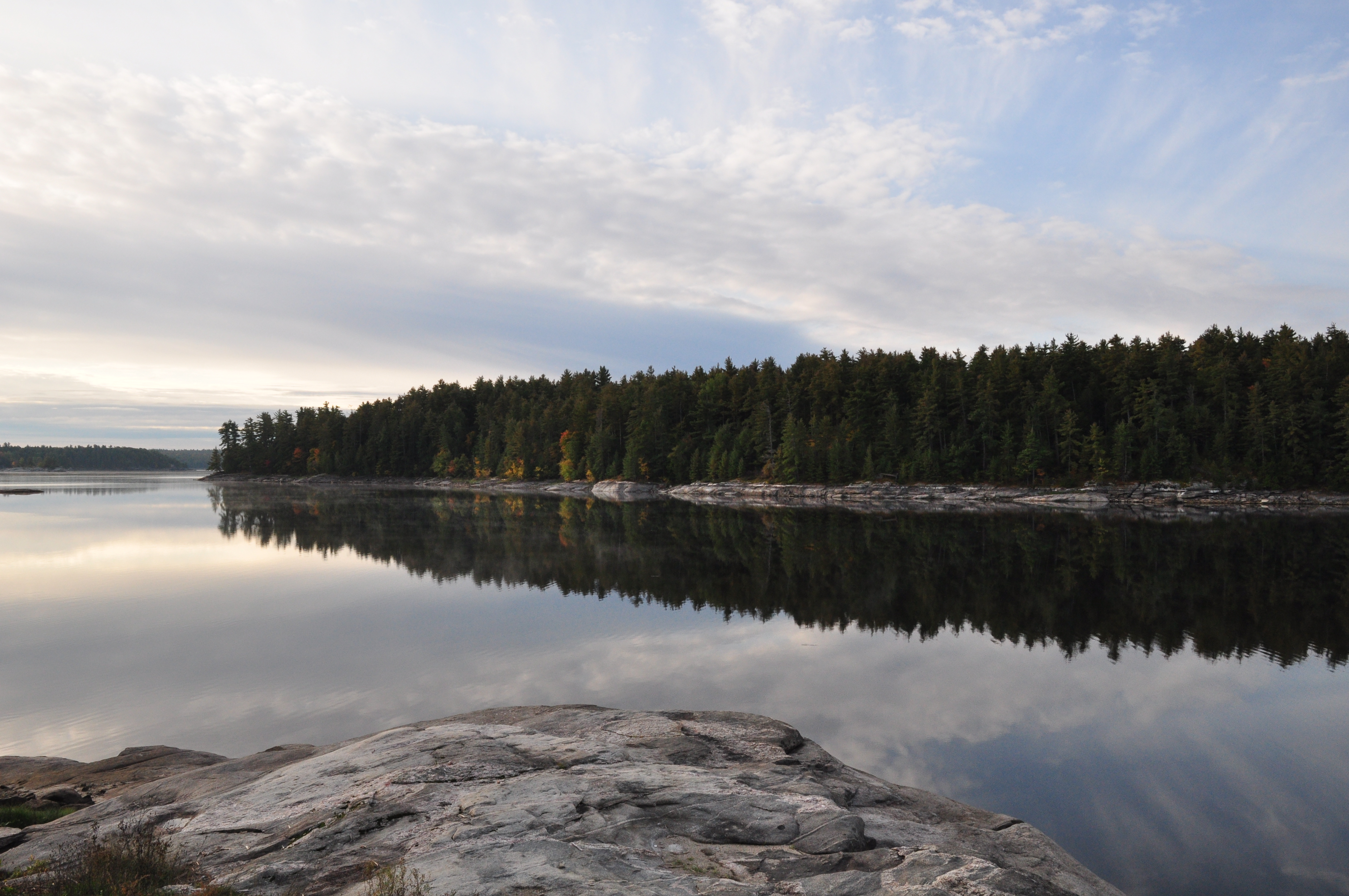
Morning Light at Crotch - Day 3

baby falls
Look up_IMG_7121

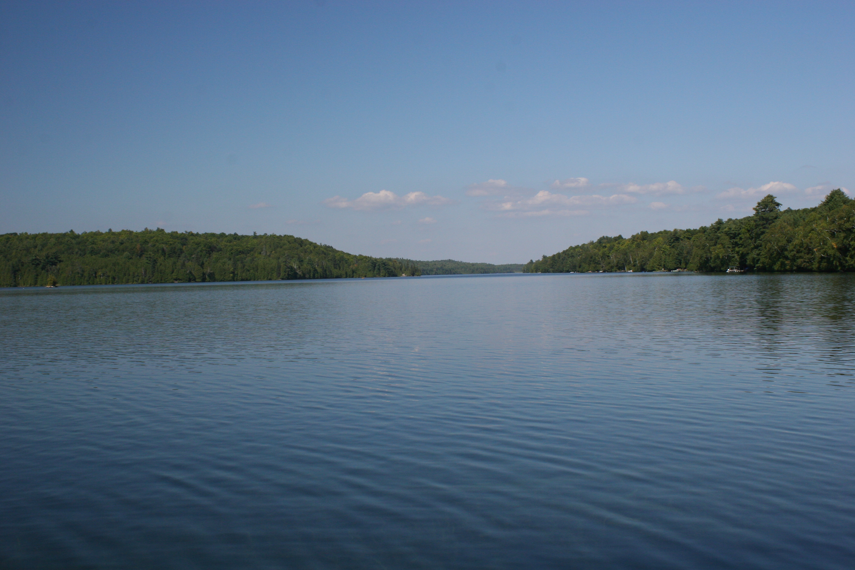
Palmerston Lake_IMG_7076
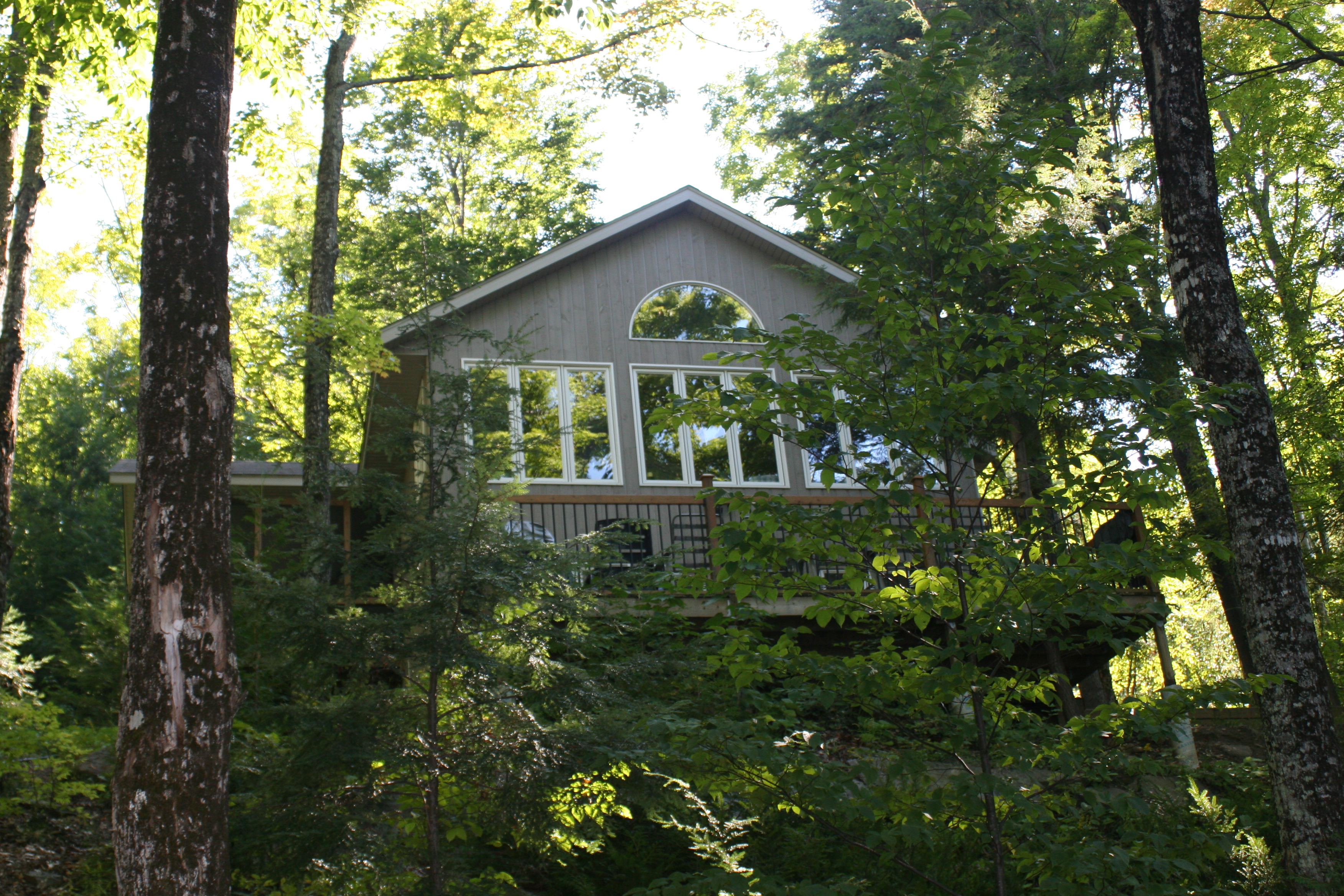
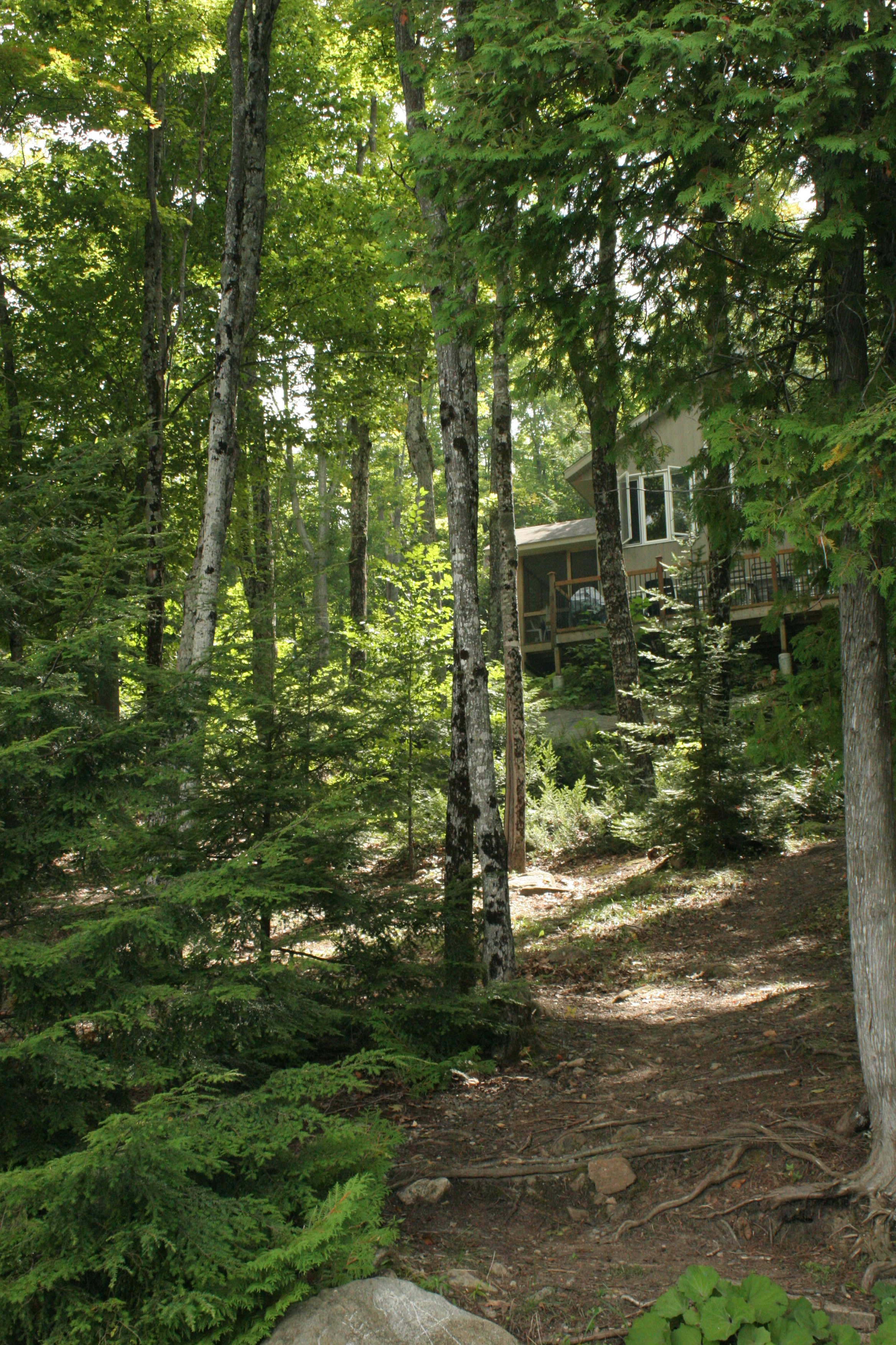
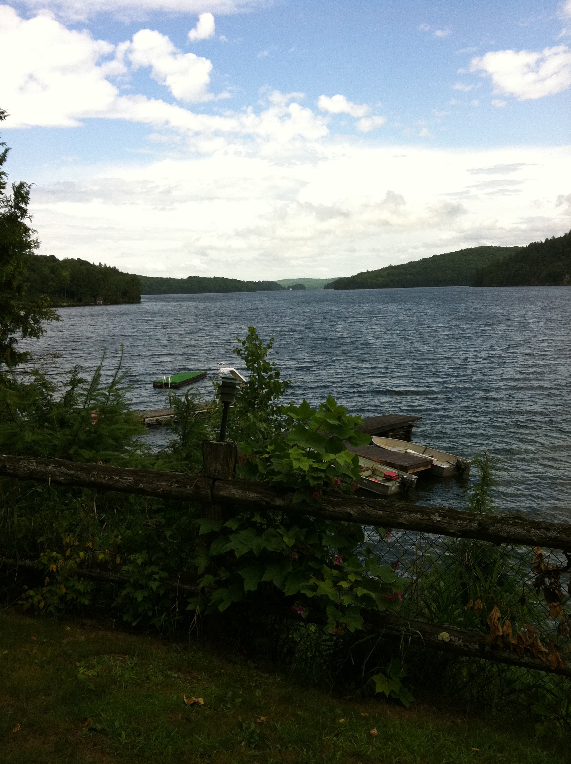
Cottage, from the firepit_IMG_6948
Canonto Lake_IMG_6951
North but not too North Ontario
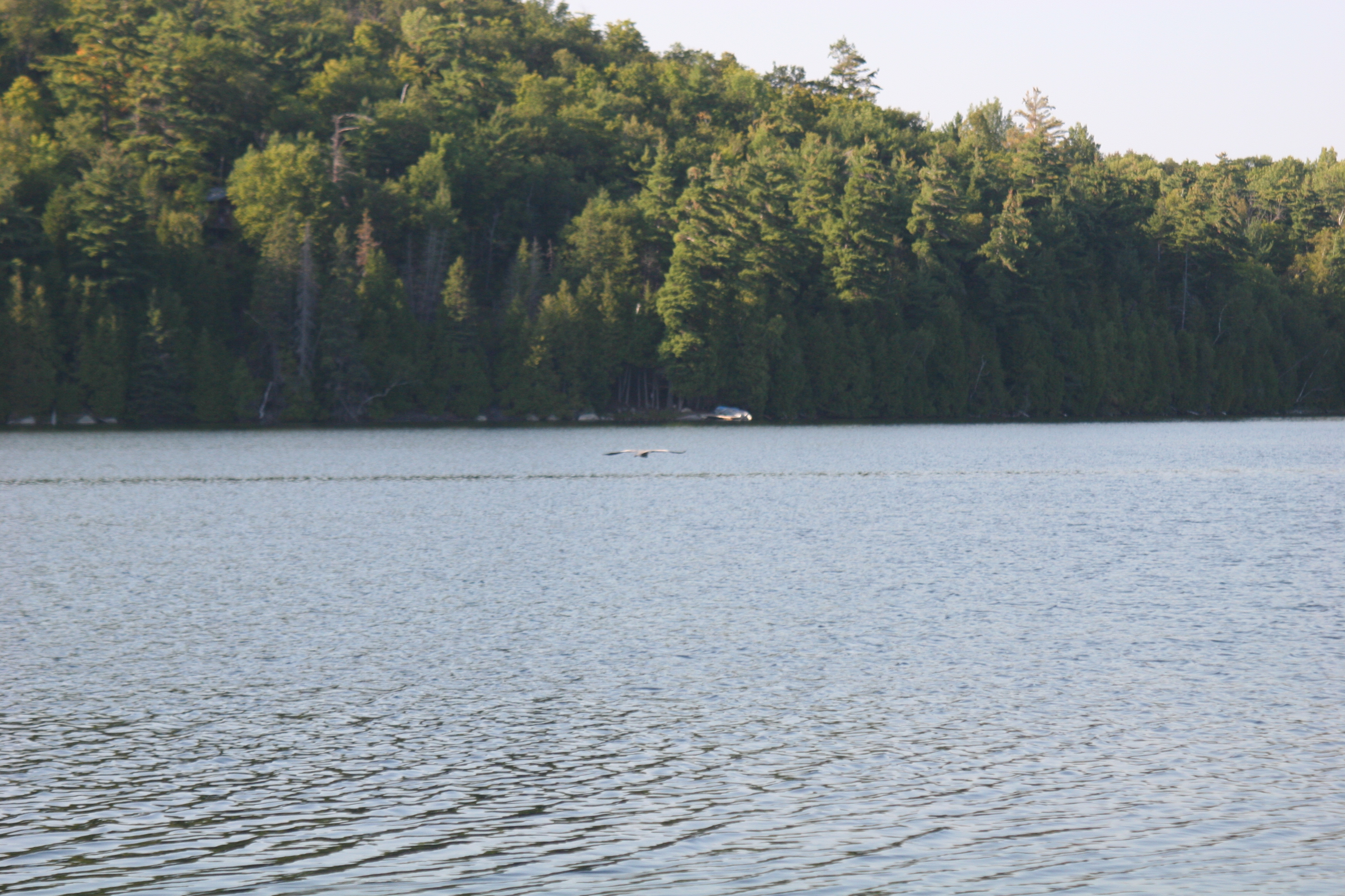
Blue Heron in flight_IMG_6955
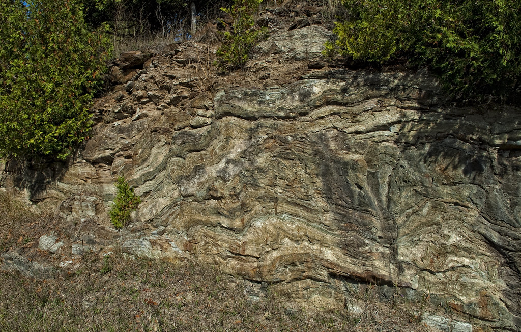
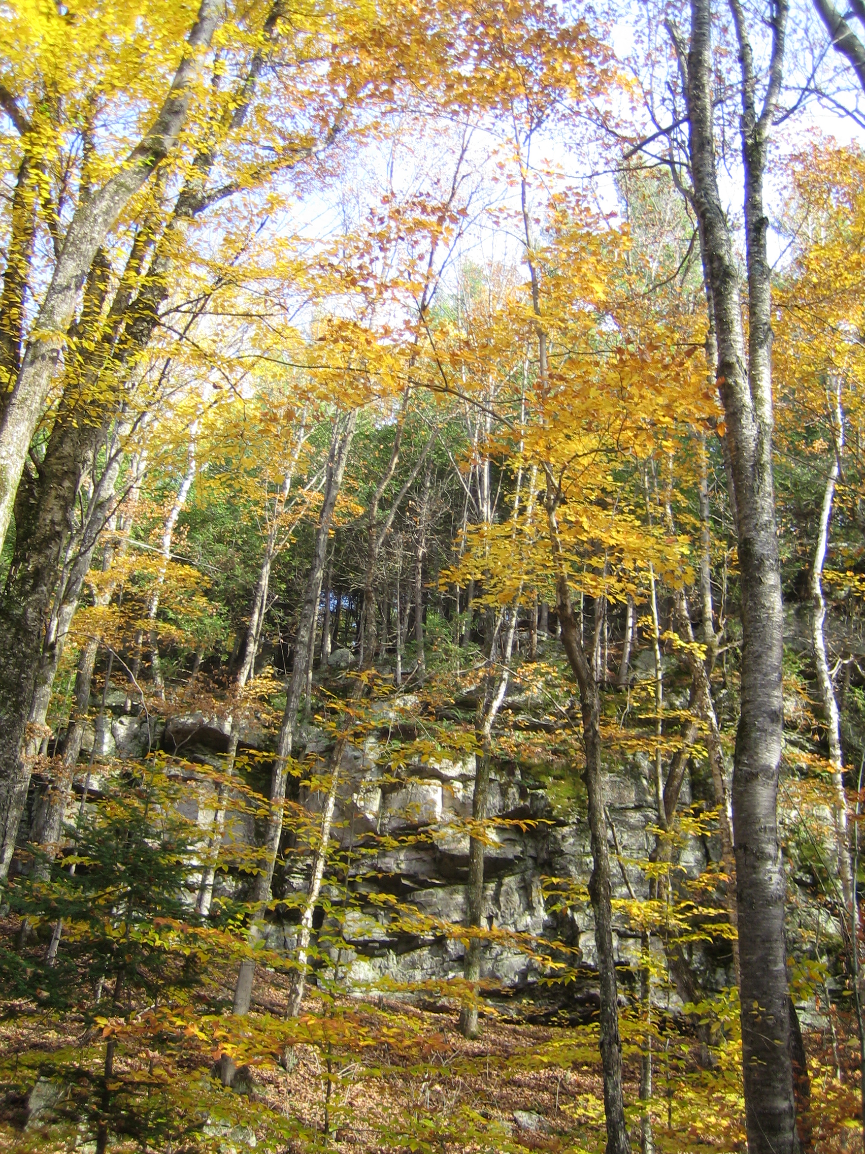
Geological Times Past
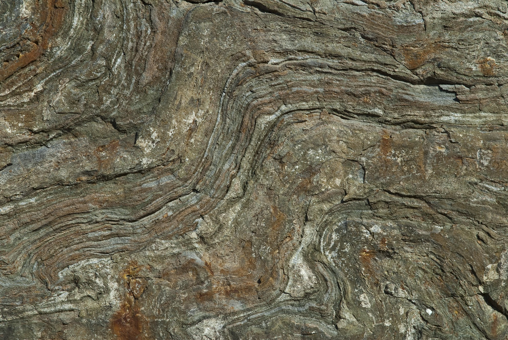
Rock Detail
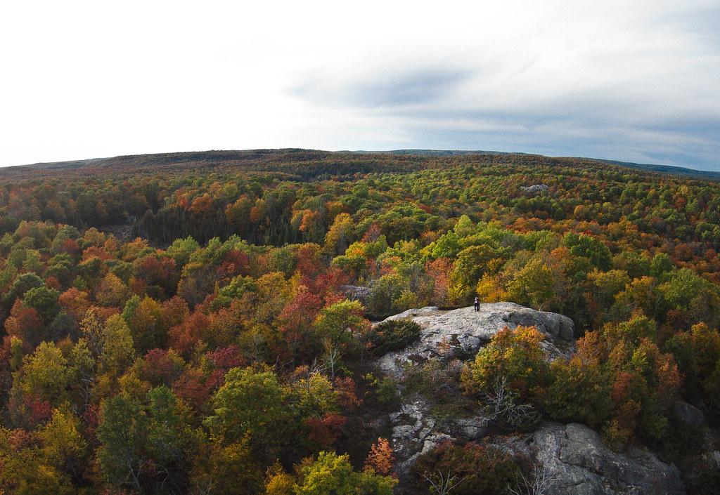
Above the Trees
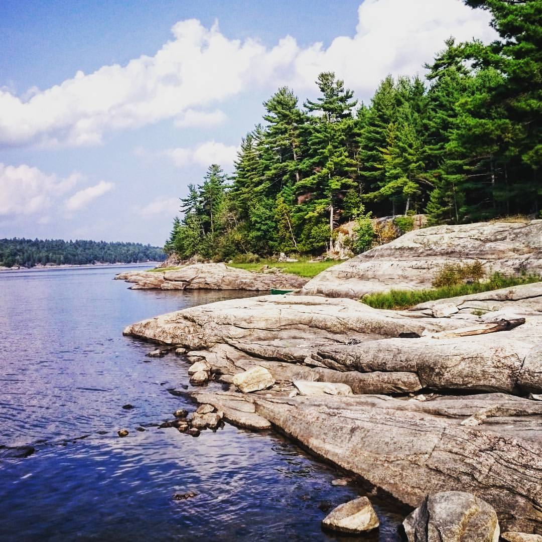
Love this shot. Can you find the canoe? Camping is just great. ⛺ #Ontario #campingtrip #lake #sky #water #instalike #instanature #naturelover #wilderness #rock #canoe #lakeshore #nature #summerfun #getoutside
Topographic Map of Ompah, ON K0H, Canada
Find elevation by address:

Places in Ompah, ON K0H, Canada:
Places near Ompah, ON K0H, Canada:
Dead End Lane
1052 Dead End Ln
10393 Road 509
Young Lane
1918 Arcol Rd
Antoine Lake
5440 S Lavant Rd
117 Folger Rd
Norcan Lake
Mountain Rd, Plevna, ON K0H 2M0, Canada
Clyde Lake
591 Barrett Chute Rd
Greater Madawaska
166 Stoughton Sideroad
345 Kennelly Mountain Rd
345 Kennelly Mountain Rd
Calabogie Peaks Resort
Calabogie Ski Racing Club
4605 Centennial Lake Rd
K7v 3z7
Recent Searches:
- Elevation of Shibuya Scramble Crossing, 21 Udagawacho, Shibuya City, Tokyo -, Japan
- Elevation of Jadagoniai, Kaunas District Municipality, Lithuania
- Elevation of Pagonija rock, Kranto 7-oji g. 8"N, Kaunas, Lithuania
- Elevation of Co Rd 87, Jamestown, CO, USA
- Elevation of Tenjo, Cundinamarca, Colombia
- Elevation of Côte-des-Neiges, Montreal, QC H4A 3J6, Canada
- Elevation of Bobcat Dr, Helena, MT, USA
- Elevation of Zu den Ihlowbergen, Althüttendorf, Germany
- Elevation of Badaber, Peshawar, Khyber Pakhtunkhwa, Pakistan
- Elevation of SE Heron Loop, Lincoln City, OR, USA