Elevation of Ruhija Community Rest Camp, Uganda
Location: Uganda > Western Region > Kabale > Rubanda >
Longitude: 29.7754759
Latitude: -1.0436944
Elevation: 2294m / 7526feet
Barometric Pressure: 77KPa
Elevation Map:
Satellite Map:
Related Photos:
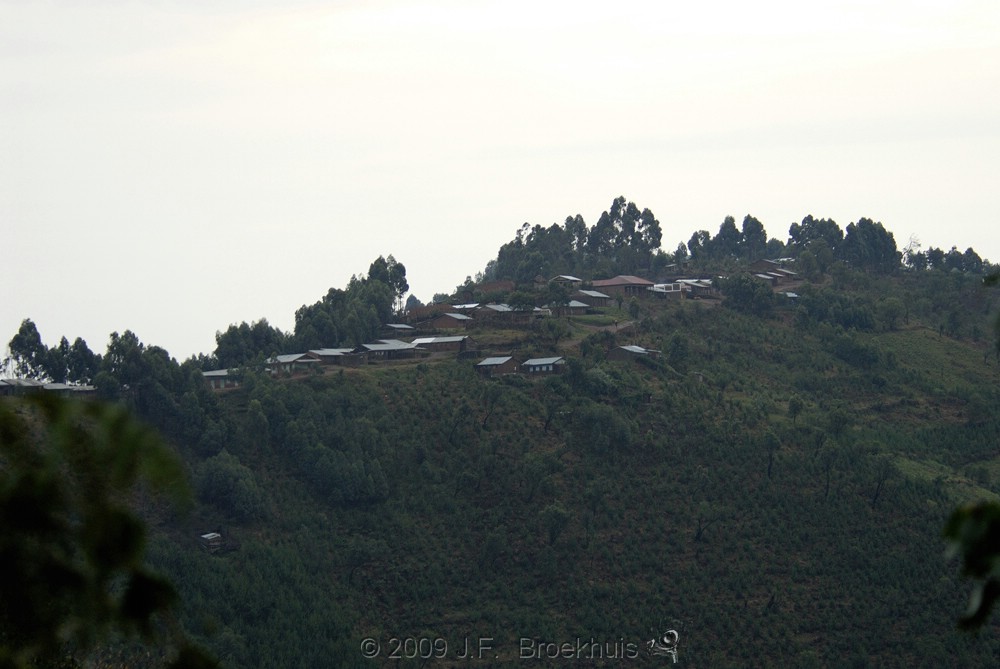
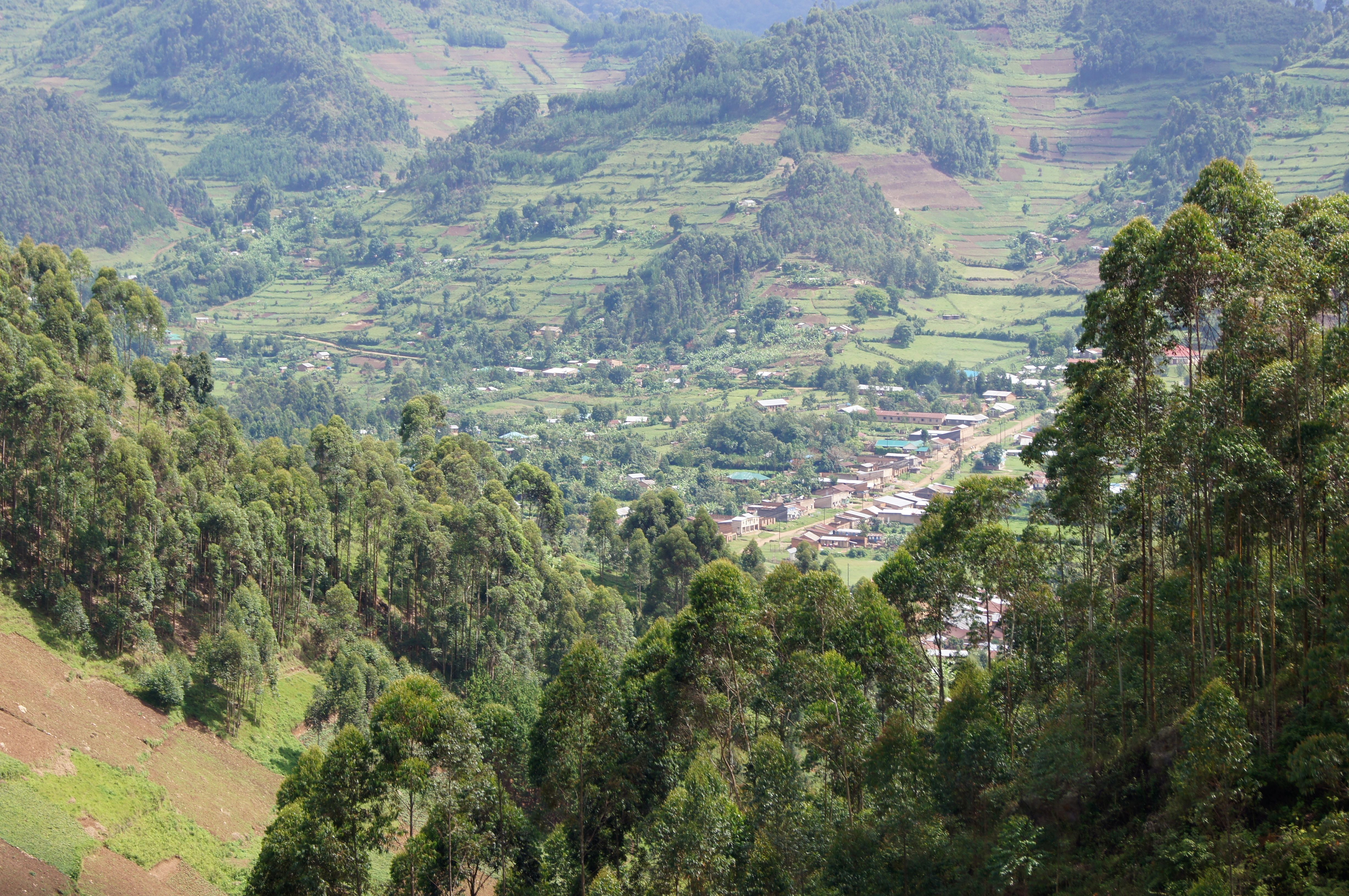
View Of Ruhija

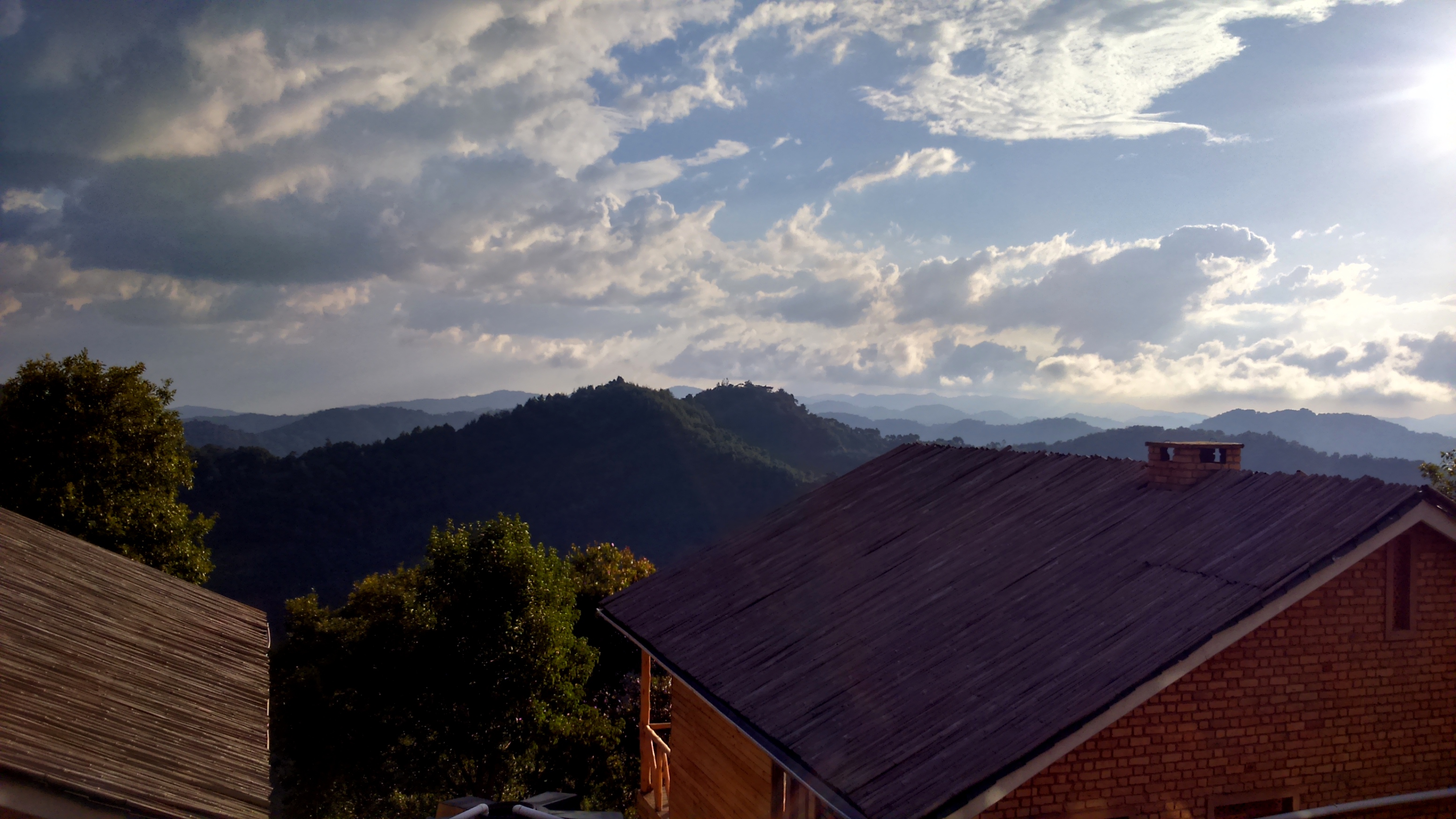
Trees and Mountains

Road with a View
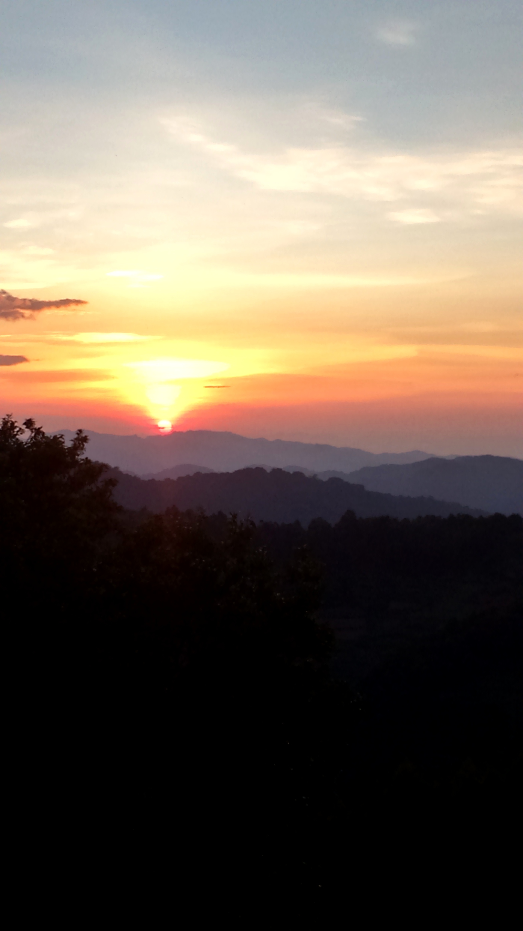
Big Sky
Almost Gone

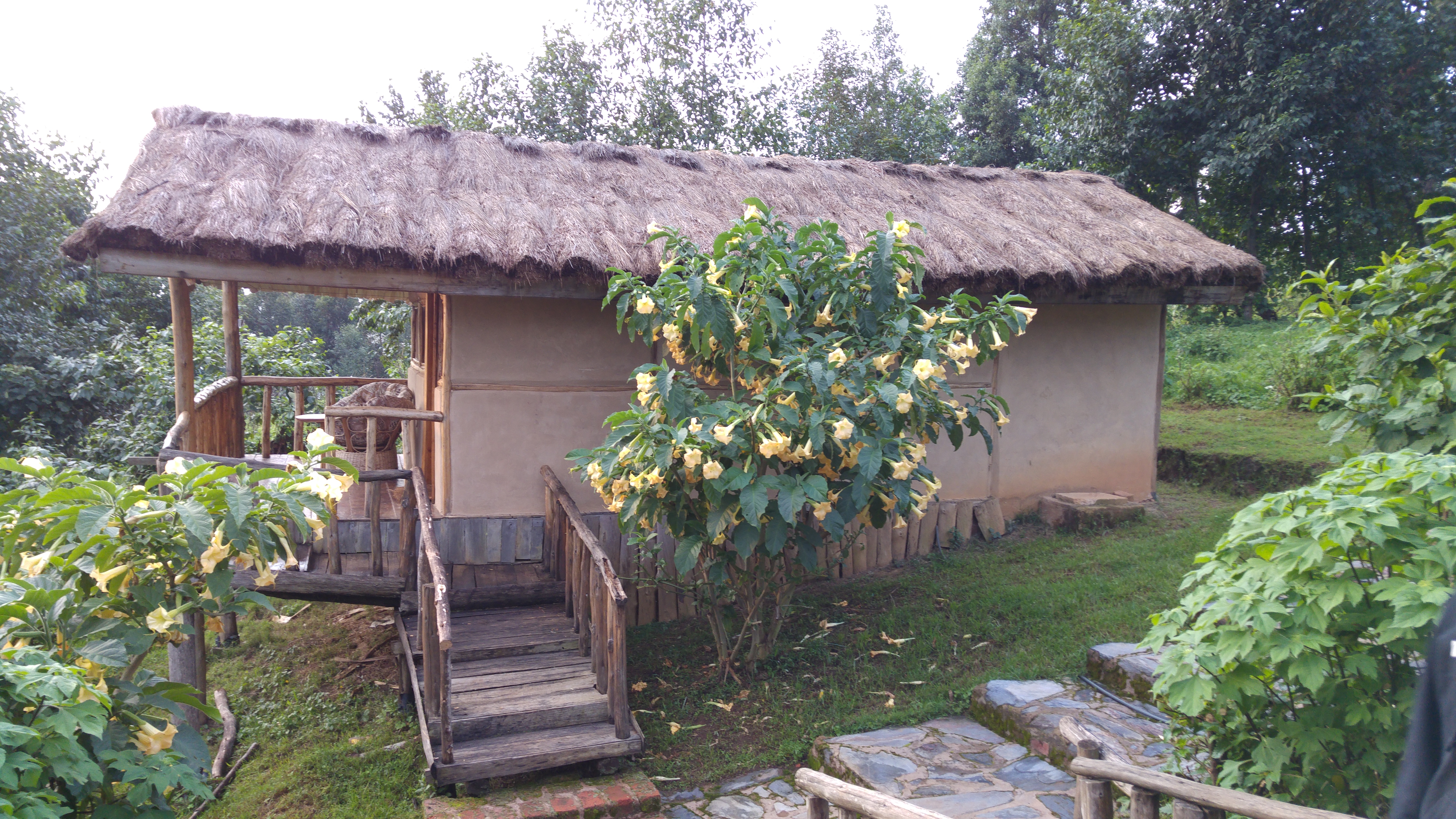
Ruhija Gorilla Lodge

VIEW OF SOME PREMISES AT THE LODGE
VIEW OF THE PREMISES OF THE LODGE

Mubwindi Swamp

"Short Break"
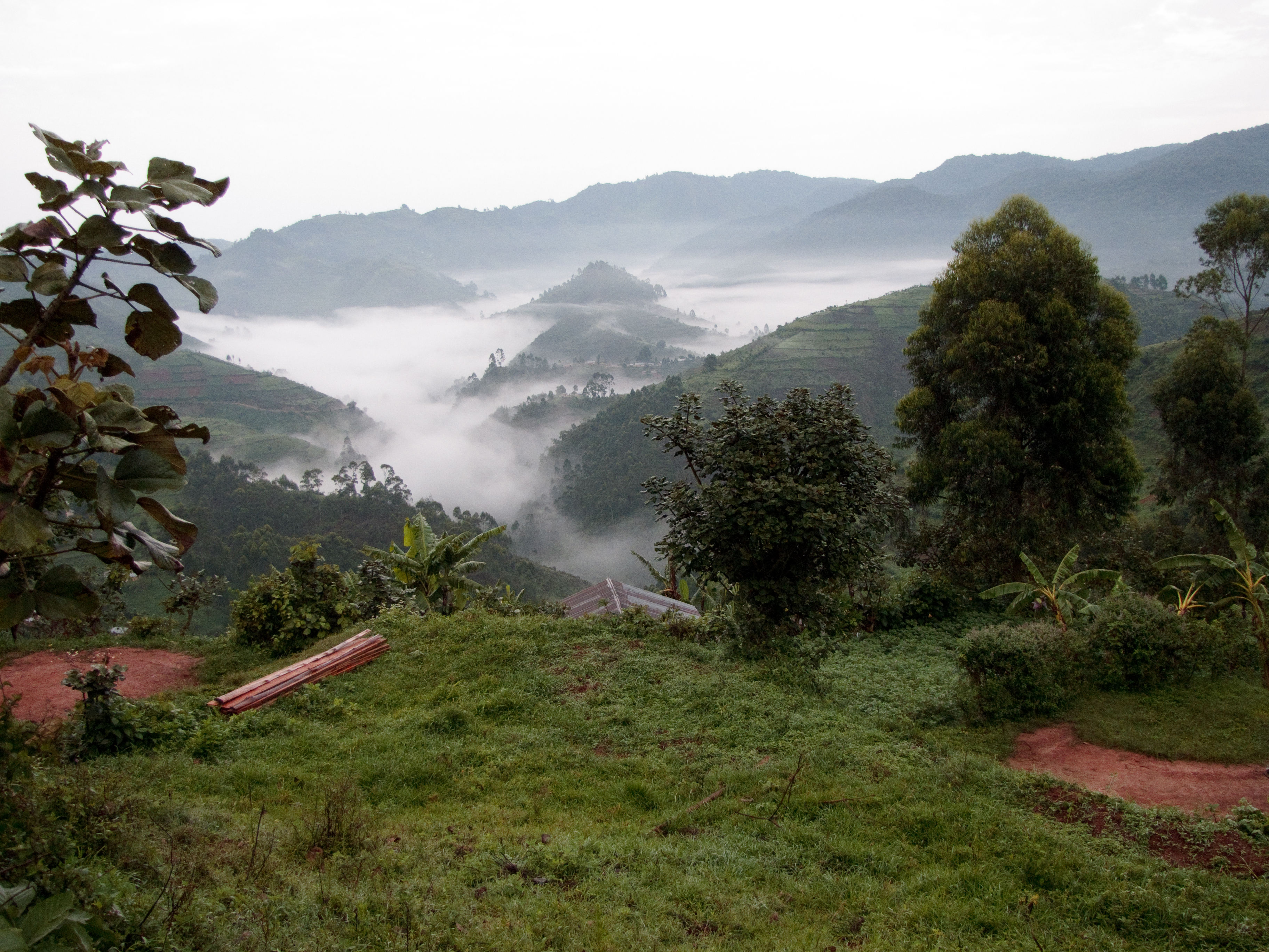
Mist over Bwindi Impenetrable Forest

Deep in the clouds

KISORO DISTRICT. THE FOREST VS THE SKY
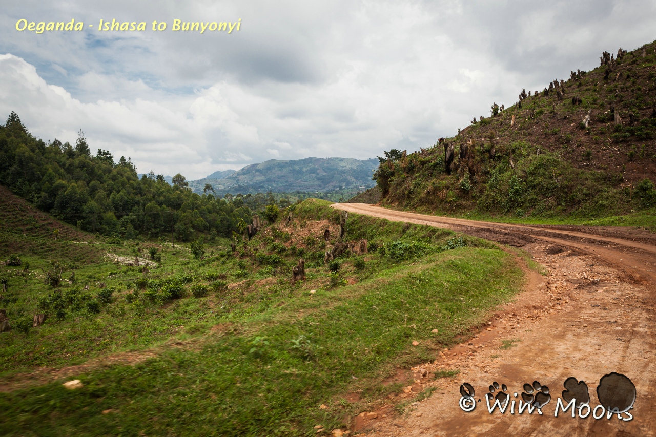
Oeganda - Ishasa to Bunyonyi

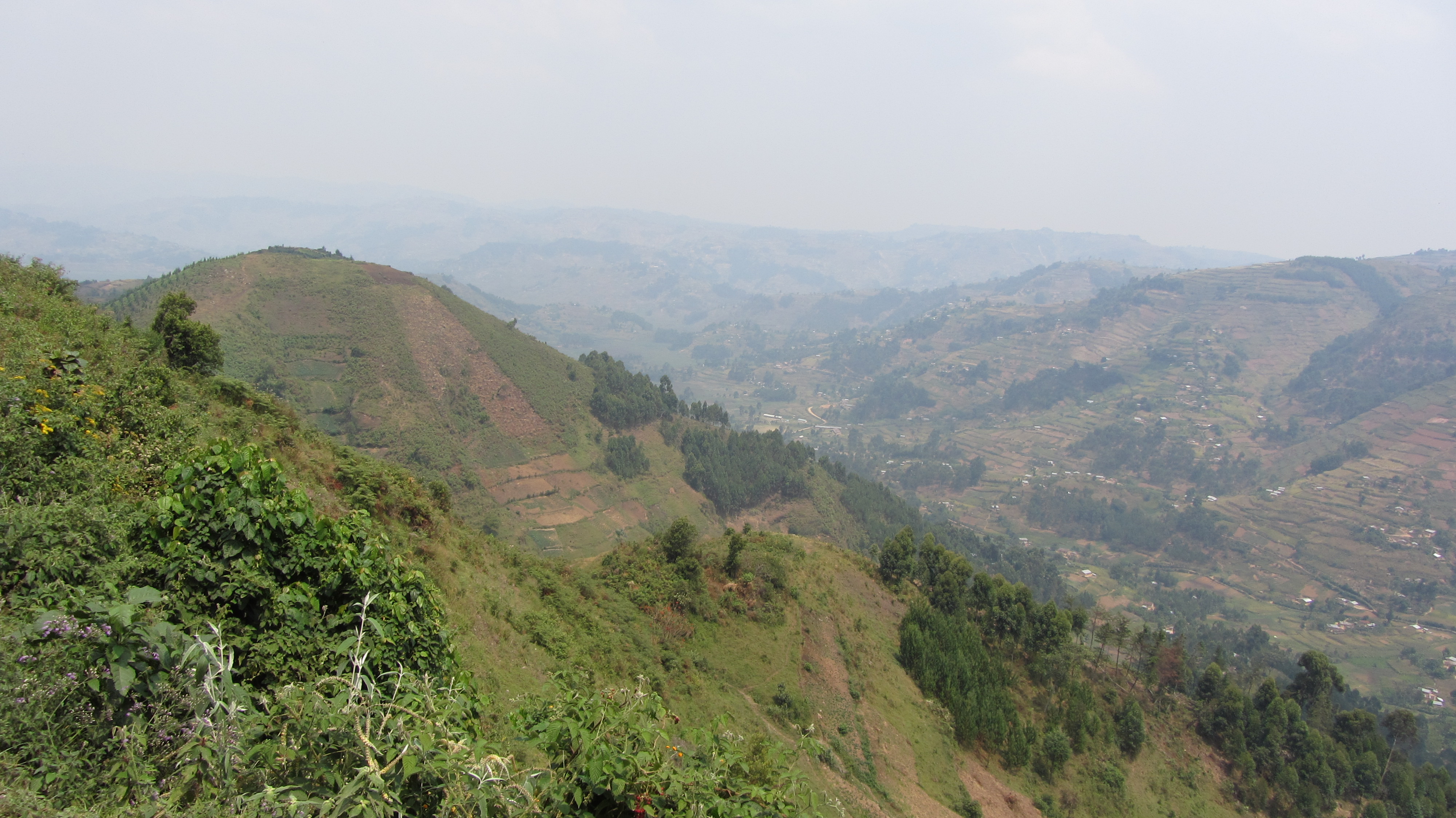
KISORO DISTRICT. LANDSCAPE. HUMAN SETTLEMENTS
Lake Bunyoni to Bwindi - 23

Gorilla Trekking

KISORO DISTRICT. LANDSCAPE

Lake Bunyoni to Bwindi - 11

KISORO DISTRICT. LANDSCAPE. HUMAN SETTLEMENTS

Oeganda - Ishasa to Bunyonyi

"Watchful Eyes of a good Friend" (B&W)

biwindi impenetrable national park
Uganda-2362
Hiking Inoni

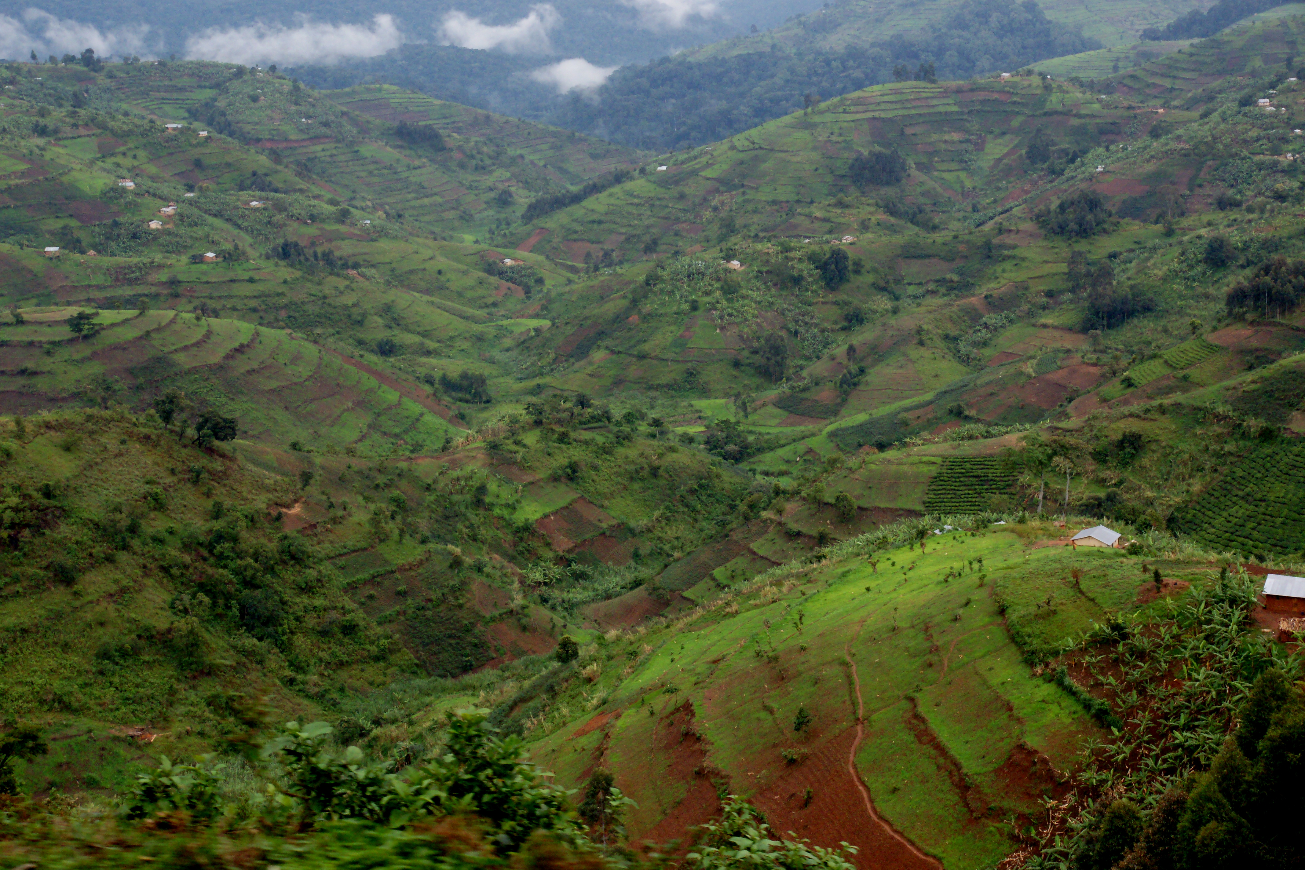
KISORO DISTRICT. LANDSCAPE. AGRICULTURAL TERRACING

KISORO DISTRICT. LANDSCAPE. HUMAN SETTLEMENTS

KISORO DISTRICT. LANDSCAPE. TERRACING

KISORO DISTRICT. LANDSCAPE. AGRICULTURAL TERRACING
Topographic Map of Ruhija Community Rest Camp, Uganda
Find elevation by address:

Places near Ruhija Community Rest Camp, Uganda:
Bwindi Impenetrable National Park
Gorilla Safari Lodge
Rubanda
Bufumbira
Bwindi Lodge
Buhoma Lodge
Bwindi Community Hospital
Kisoro
Kanungu
Kisoro
Lake Bunyonyi
Kabale
Makanga Golf Course Polling Post
St. Peter's Rubuguri Primary School
Kidaho
Kihihi Airstrip
Mount Gahinga Lodge
Mgahinga Gorilla National Park
Muhavura Volcano
Kabale
Recent Searches:
- Elevation of Congressional Dr, Stevensville, MD, USA
- Elevation of Bellview Rd, McLean, VA, USA
- Elevation of Stage Island Rd, Chatham, MA, USA
- Elevation of Shibuya Scramble Crossing, 21 Udagawacho, Shibuya City, Tokyo -, Japan
- Elevation of Jadagoniai, Kaunas District Municipality, Lithuania
- Elevation of Pagonija rock, Kranto 7-oji g. 8"N, Kaunas, Lithuania
- Elevation of Co Rd 87, Jamestown, CO, USA
- Elevation of Tenjo, Cundinamarca, Colombia
- Elevation of Côte-des-Neiges, Montreal, QC H4A 3J6, Canada
- Elevation of Bobcat Dr, Helena, MT, USA