Elevation of Kisoro, Uganda
Location: Uganda > Western Region > Kisoro >
Longitude: 29.6904746
Latitude: -1.2834307
Elevation: 1929m / 6329feet
Barometric Pressure: 80KPa
Elevation Map:
Satellite Map:
Related Photos:

Is there a soul behind those big brown eyes ?

Traveler's Rest Lodge

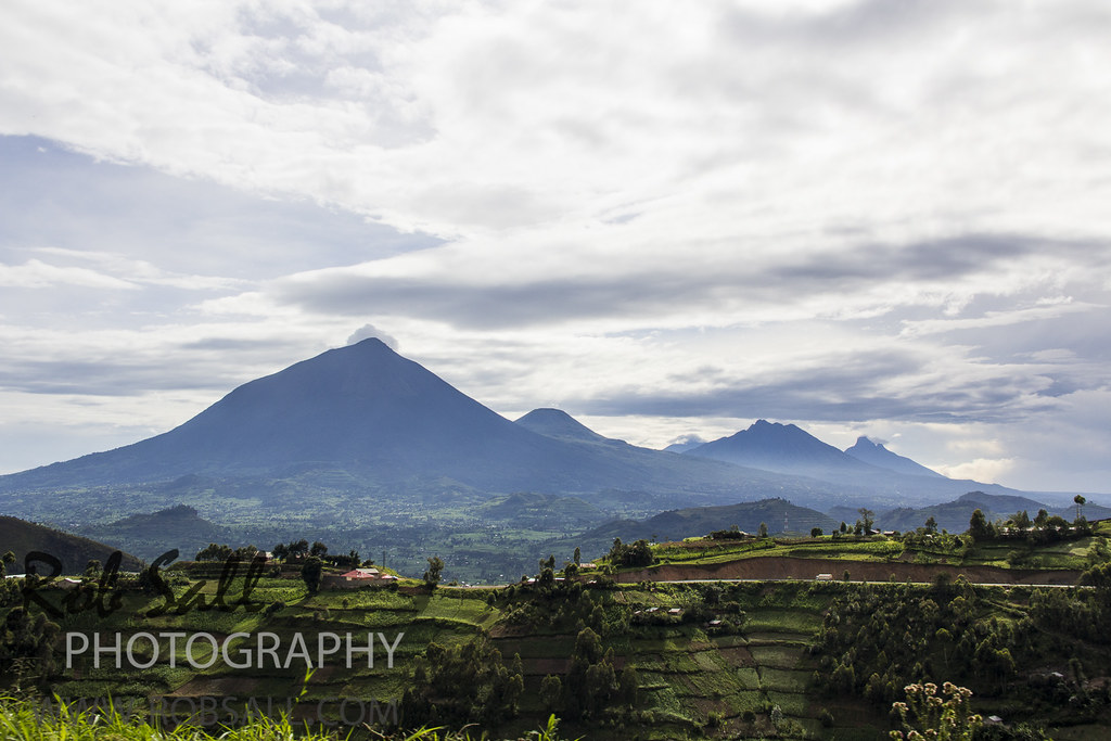
View of the Volcanoes on the way to Volcanoes National Park (2019 AFR D15-0002)
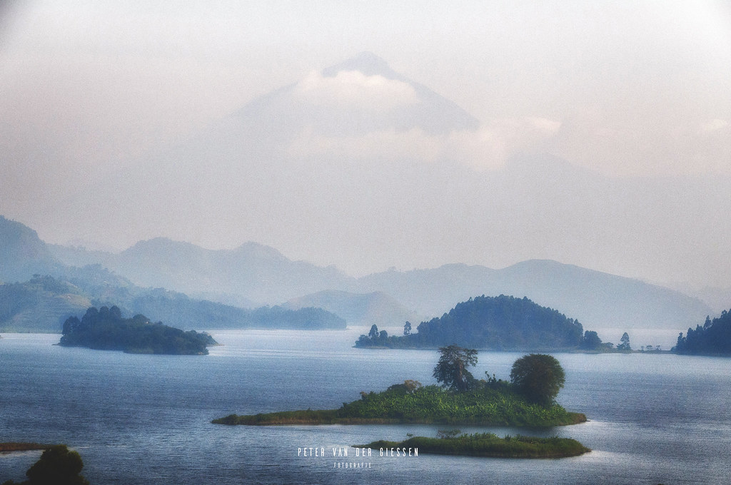
Uganda, Lake Mutanda: Mystery Morning Mount Muhabura
The distant view to Volcano's National Park Rwanda which shares the boder with Uganda and the DRC

View around Amajambere Iwacu Community Camp 2

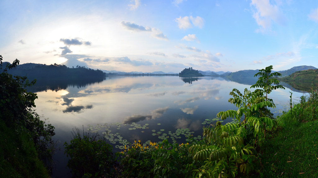
Mutanda Lake...

Mt. Sabyinyo

Uganda, Rwanda, Democratic Republic of Congo, Sabyinyo

Uganda, Virunga mountains, Rwenzori Mountains NP

Uganda, Virunga mountains, Rwenzori Mountains NP

Sabinyo Volcano

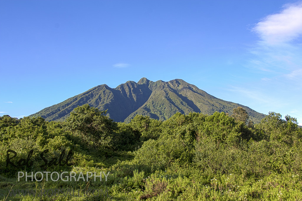
Mount Muhabura

Uganda, Virunga mountains, Rwenzori Mountains NP

sP7040295_edited-1

The clouds hovered over us on Peak 3 the whole time

swimming lake mutanda
Mount Sabyinyo HIke

Mt. Mgahinga(3474m) and Sabinyo(3645m) from Mt.Muhavura(4127m)

sP7040298_edited-1

The Rural Scene of Rwanda

The climb to Peak Two

Lake Burera

Uganda, Rwanda, Democratic Republic of Congo, Sabyinyo

Uganda, Virunga mountains, Rwenzori Mountains NP
Still mirror
Topographic Map of Kisoro, Uganda
Find elevation by address:

Places near Kisoro, Uganda:
St. Peter's Rubuguri Primary School
Kisoro
Mgahinga Gorilla National Park
Mount Gahinga Lodge
Muhavura Volcano
Kidaho
Bufumbira
Butaro
Rubanda
Bwindi Impenetrable National Park
Lake Bunyonyi
Gorilla Safari Lodge
Ruhija Community Rest Camp
Kabale
Buhoma Lodge
Makanga Golf Course Polling Post
Bwindi Lodge
Bwindi Community Hospital
Kabale
Kanungu
Recent Searches:
- Elevation of Congressional Dr, Stevensville, MD, USA
- Elevation of Bellview Rd, McLean, VA, USA
- Elevation of Stage Island Rd, Chatham, MA, USA
- Elevation of Shibuya Scramble Crossing, 21 Udagawacho, Shibuya City, Tokyo -, Japan
- Elevation of Jadagoniai, Kaunas District Municipality, Lithuania
- Elevation of Pagonija rock, Kranto 7-oji g. 8"N, Kaunas, Lithuania
- Elevation of Co Rd 87, Jamestown, CO, USA
- Elevation of Tenjo, Cundinamarca, Colombia
- Elevation of Côte-des-Neiges, Montreal, QC H4A 3J6, Canada
- Elevation of Bobcat Dr, Helena, MT, USA