Elevation of Kisoro, Uganda
Location: Uganda > Western Region >
Longitude: 29.6499162
Latitude: -1.220943
Elevation: 1862m / 6109feet
Barometric Pressure: 81KPa
Elevation Map:
Satellite Map:
Related Photos:
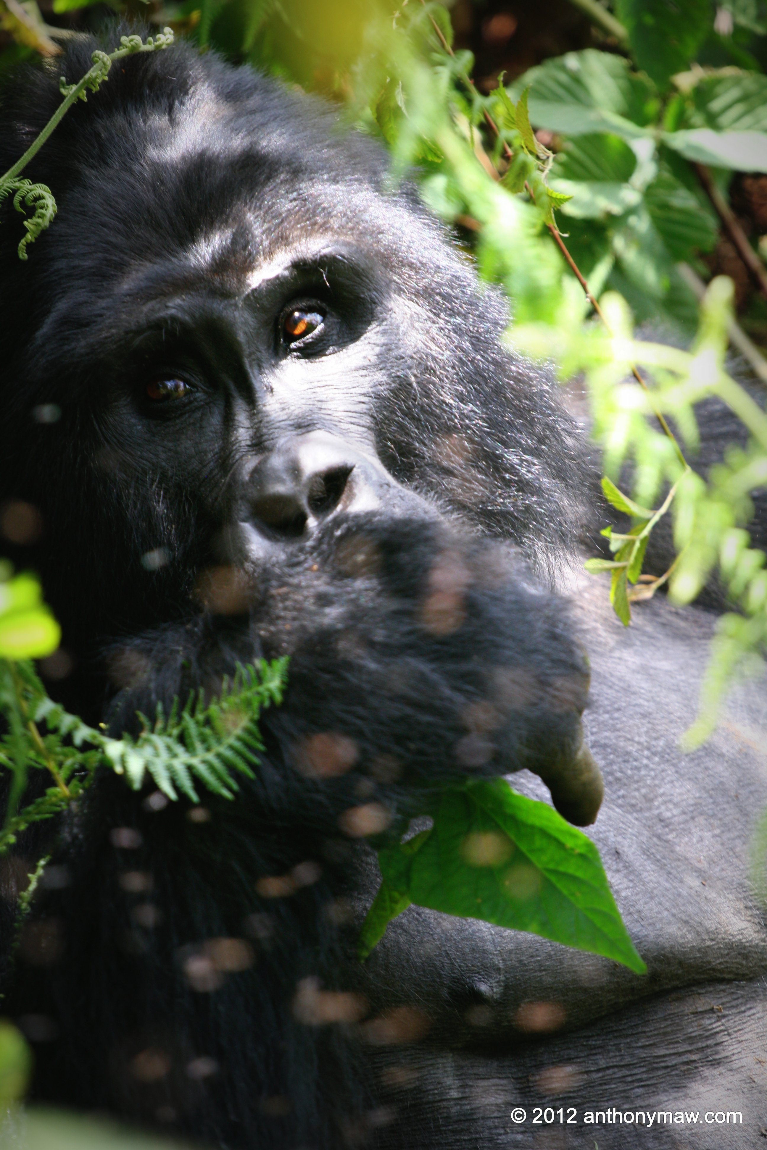
Uganda Silverback Gorilla Bwindi Impenetrable Forest National Park
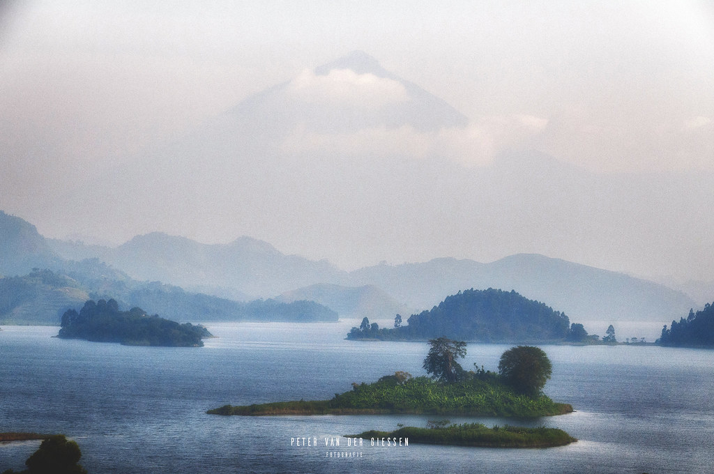
Uganda, Lake Mutanda: Mystery Morning Mount Muhabura
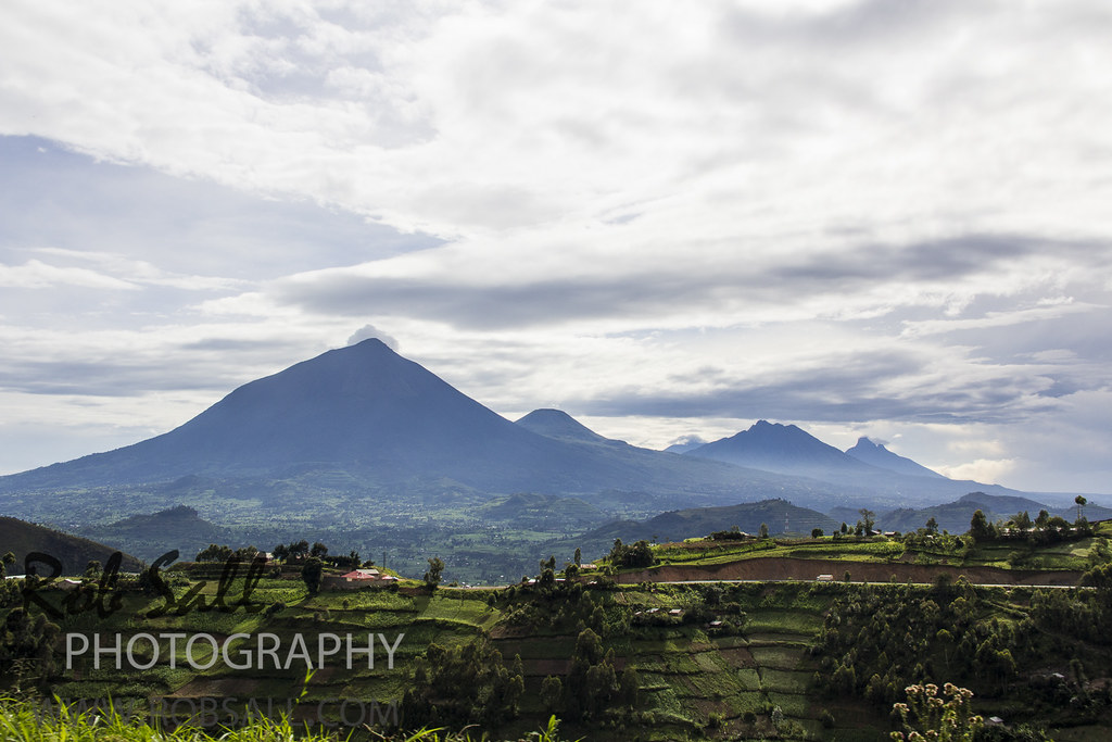
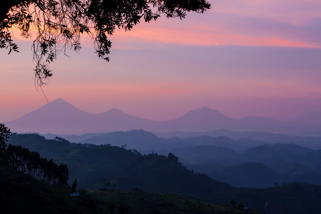
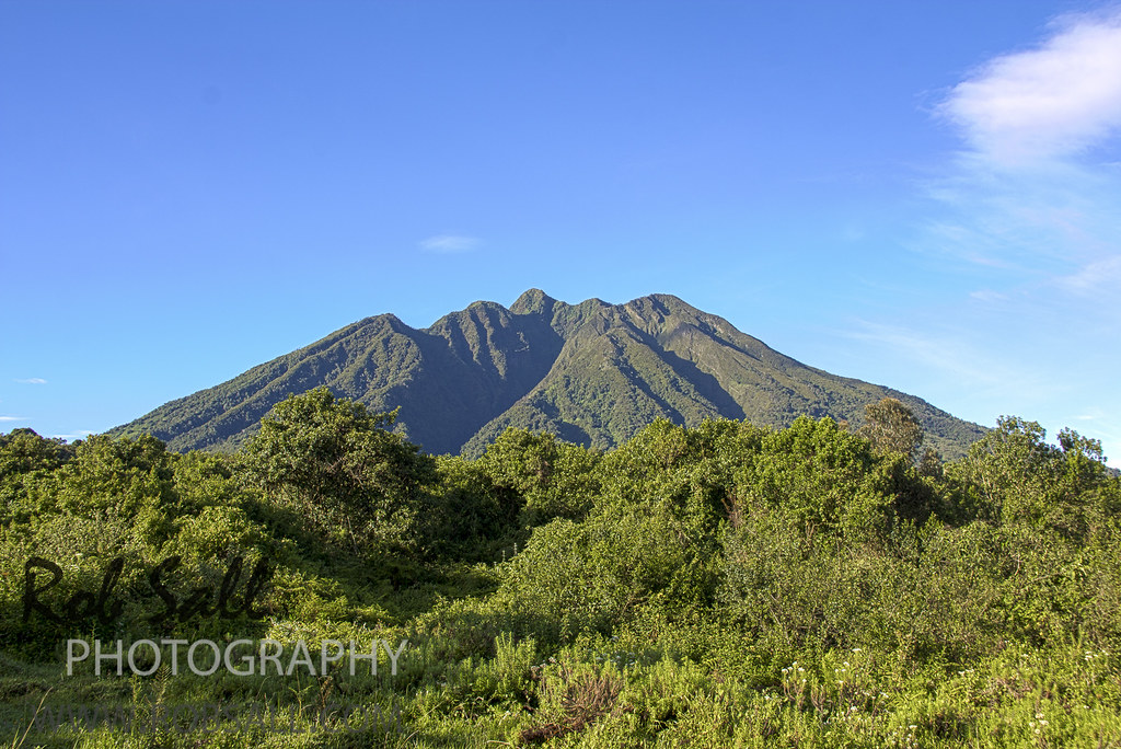
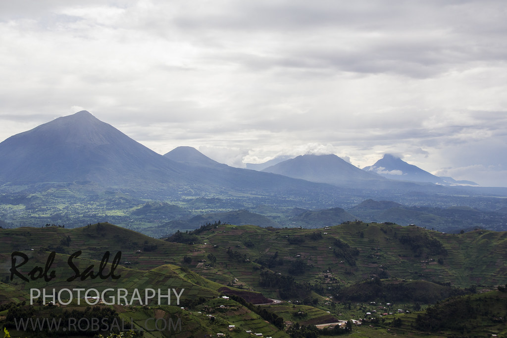
The distant view to Volcano's National Park Rwanda which shares the boder with Uganda and the DRC
view of Sabyinyo 8
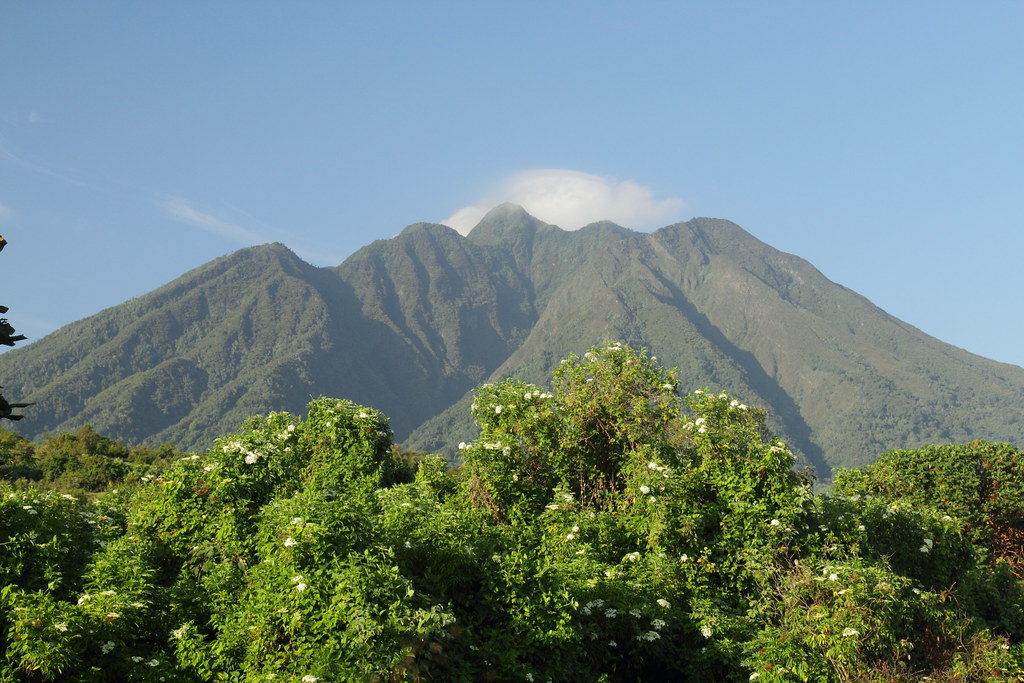
view of Sabyinyo 6
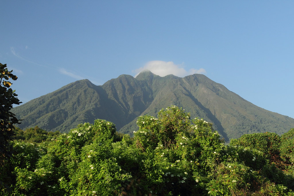
view of Sabyinyo 9
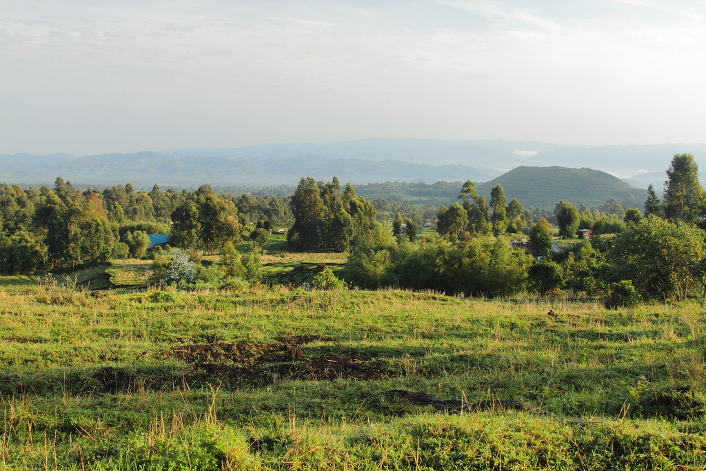
View around Amajambere Iwacu Community Camp 2

view of Sabyinyo 4
Bwindi Dawn

"Short Break"
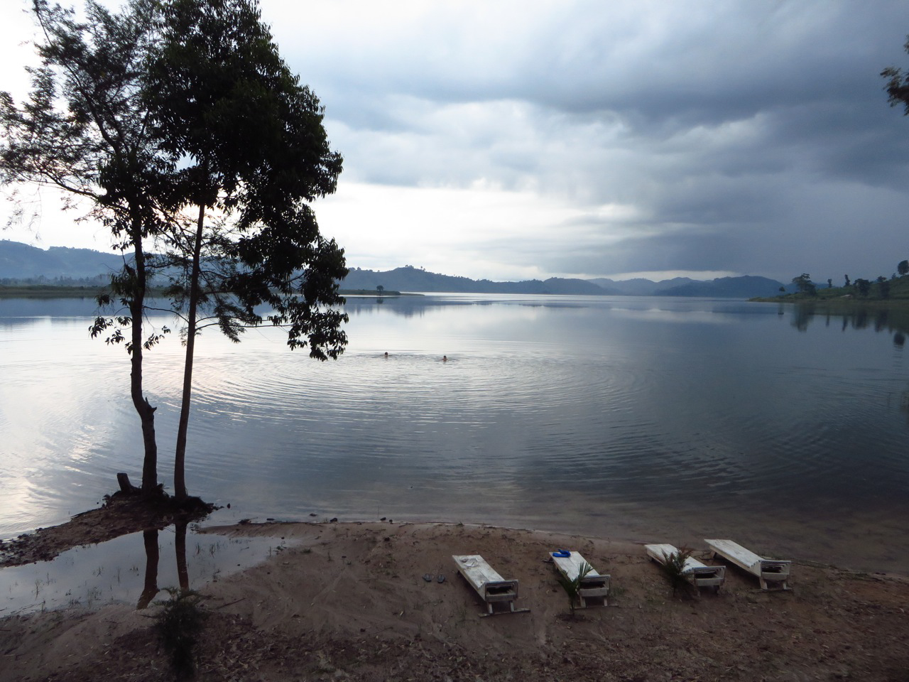
swimming lake mutanda
Mount Sabyinyo HIke
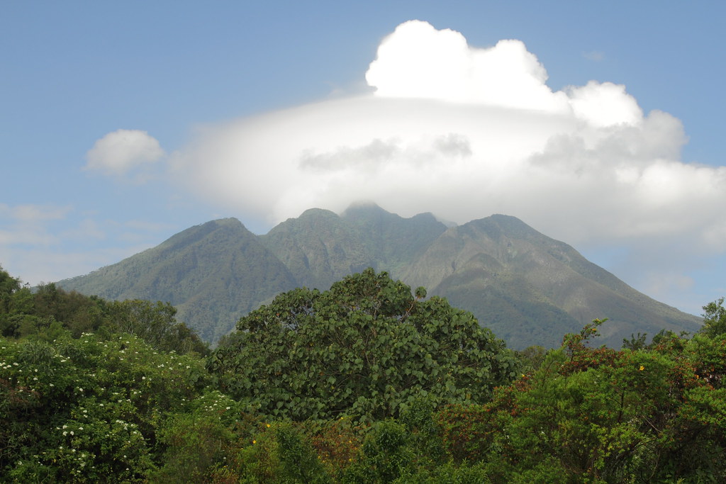
Clouds building up around Sabyinyo 1
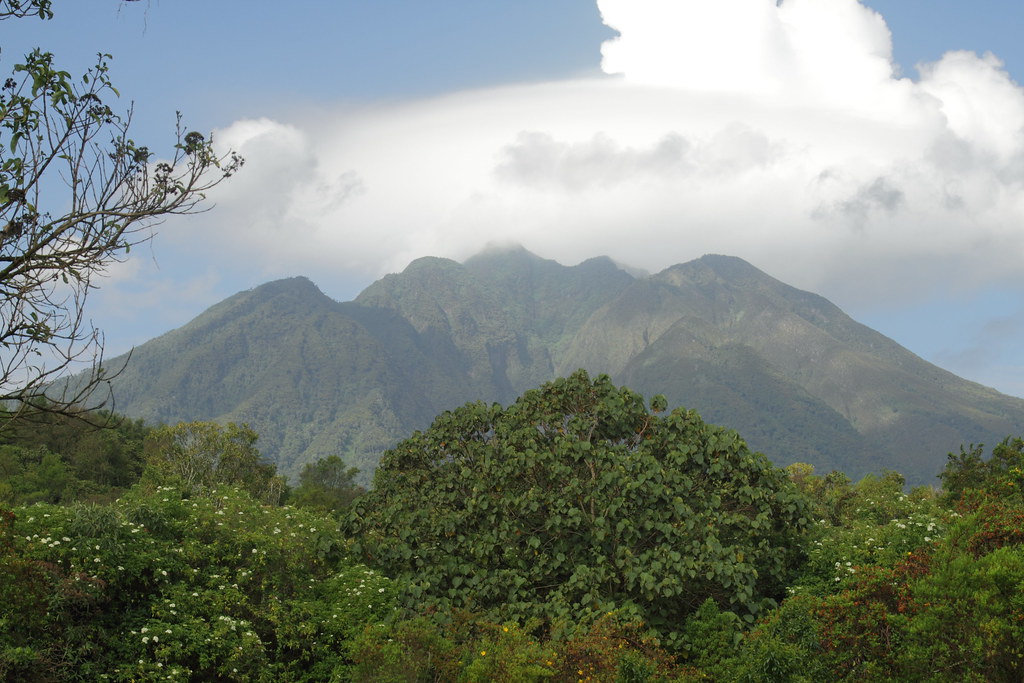
Clouds building up around Sabyinyo 2

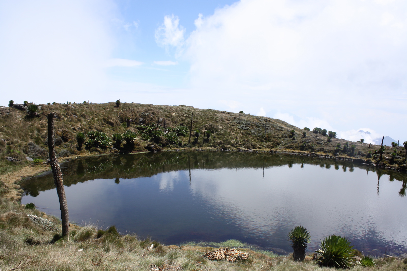
Mgahinga Park, Uganda
View around Amajambere Iwacu Community Camp 1

Mgahinga Park, Uganda
Mist over Bwindi Impenetrable Forest
2013-Uganda-Mutanda-Bwindi - 113

"Watchful Eyes of a good Friend" (B&W)
Evening rain
The distant view to Volcano's National Park Rwanda which shares the boder with Uganda and the DRC
Sun is out
Topographic Map of Kisoro, Uganda
Find elevation by address:

Places in Kisoro, Uganda:
Places near Kisoro, Uganda:
Bufumbira
Kisoro
St. Peter's Rubuguri Primary School
Mount Gahinga Lodge
Bwindi Impenetrable National Park
Mgahinga Gorilla National Park
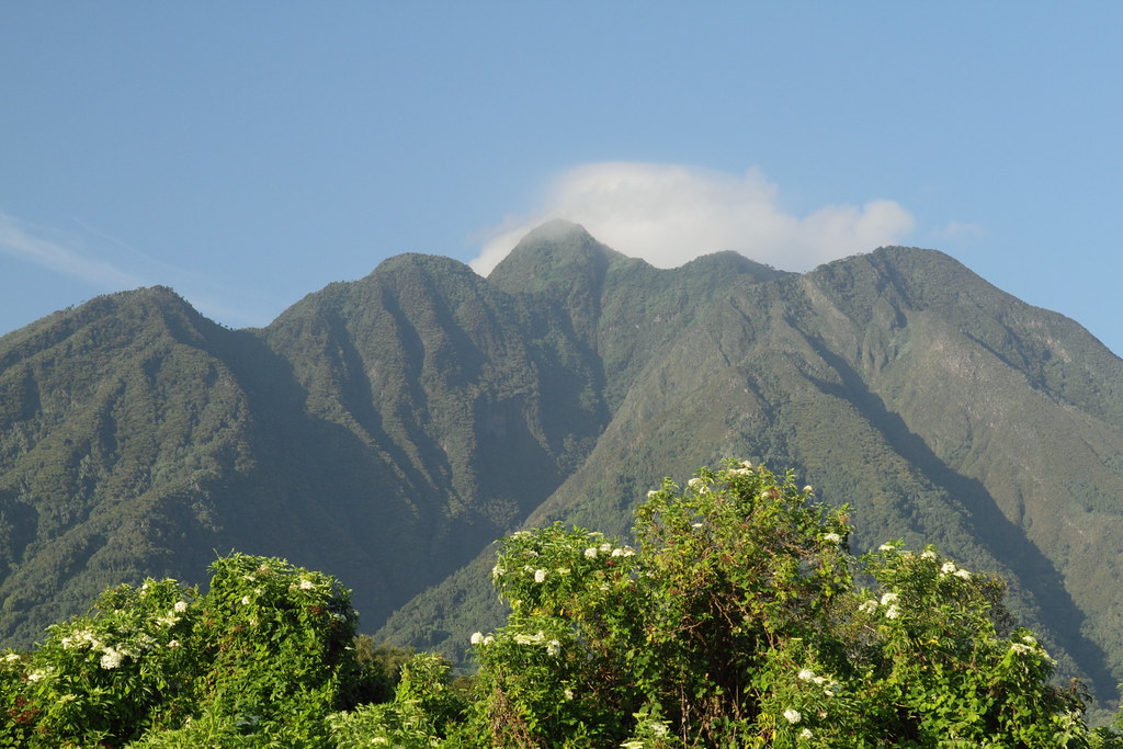
Muhavura Volcano
Gorilla Safari Lodge
Kidaho
Rubanda
Ruhija Community Rest Camp
Buhoma Lodge
Bwindi Lodge
Bwindi Community Hospital
Butaro
Lake Bunyonyi
Kabale
Makanga Golf Course Polling Post
Kanungu
Kabale
Recent Searches:
- Elevation of 30 Oak Lawn Dr, Barkhamsted, CT, USA
- Elevation of Luther Road, Luther Rd, Auburn, CA, USA
- Elevation of Unnamed Road, Respublika Severnaya Osetiya — Alaniya, Russia
- Elevation of Verkhny Fiagdon, North Ossetia–Alania Republic, Russia
- Elevation of F. Viola Hiway, San Rafael, Bulacan, Philippines
- Elevation of Herbage Dr, Gulfport, MS, USA
- Elevation of Lilac Cir, Haldimand, ON N3W 2G9, Canada
- Elevation of Harrod Branch Road, Harrod Branch Rd, Kentucky, USA
- Elevation of Wyndham Grand Barbados Sam Lords Castle All Inclusive Resort, End of Belair Road, Long Bay, Bridgetown Barbados
- Elevation of Iga Trl, Maggie Valley, NC, USA