Elevation of Rubanda, Uganda
Location: Uganda > Western Region > Kabale >
Longitude: 29.8583772
Latitude: -1.1681854
Elevation: 2011m / 6598feet
Barometric Pressure: 79KPa
Elevation Map:
Satellite Map:
Related Photos:

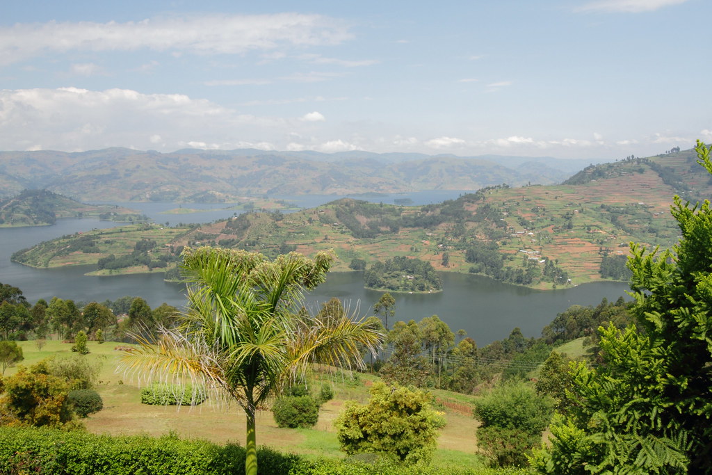
The #view of lake #bunyoni
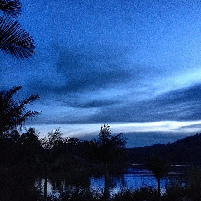
Night falls on Lake Bunyonyi. A view from our tent, as we turn in for a few hours before some early morning gorilla trekking. This is Uganda.
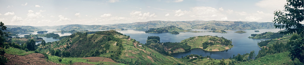
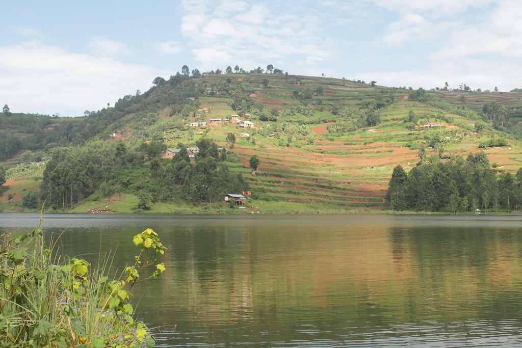
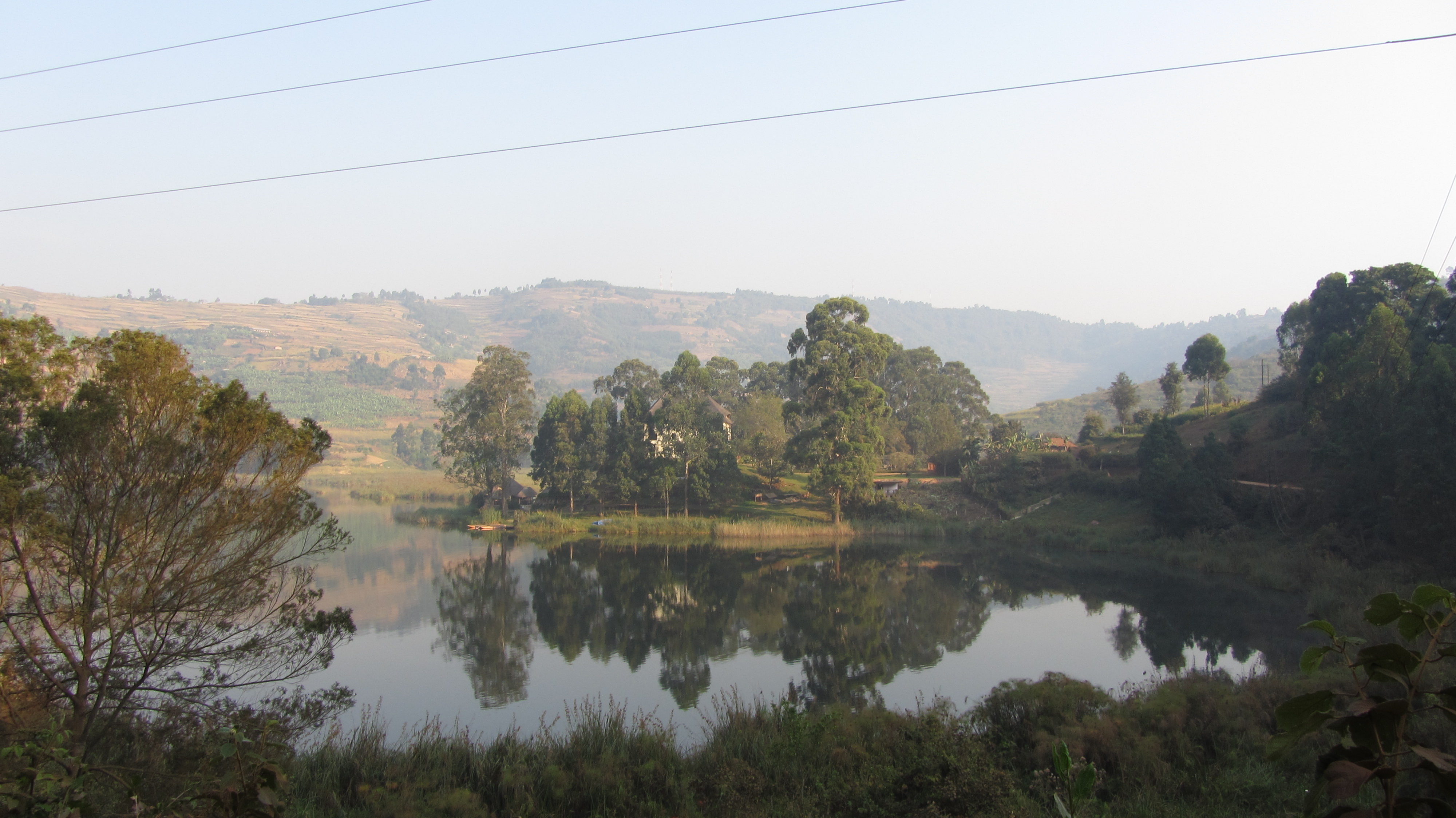
Lake Bunyonyi

View from Arcadia Cottages 4

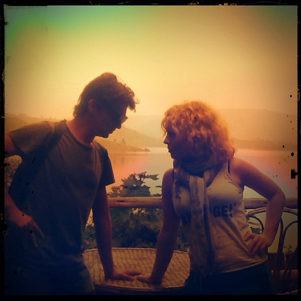
Stars over Africa.
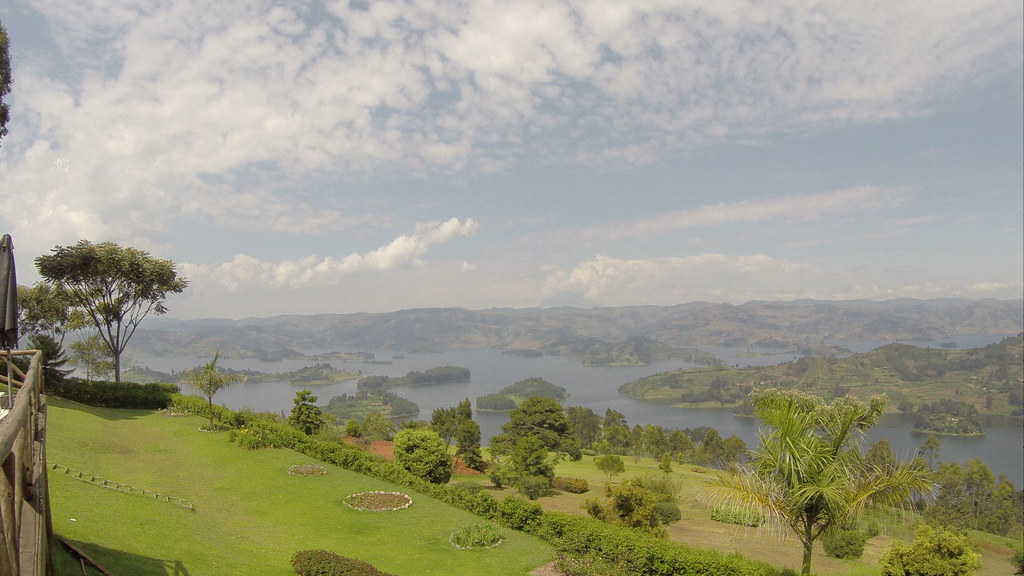
View from Arcadia Cottages 5
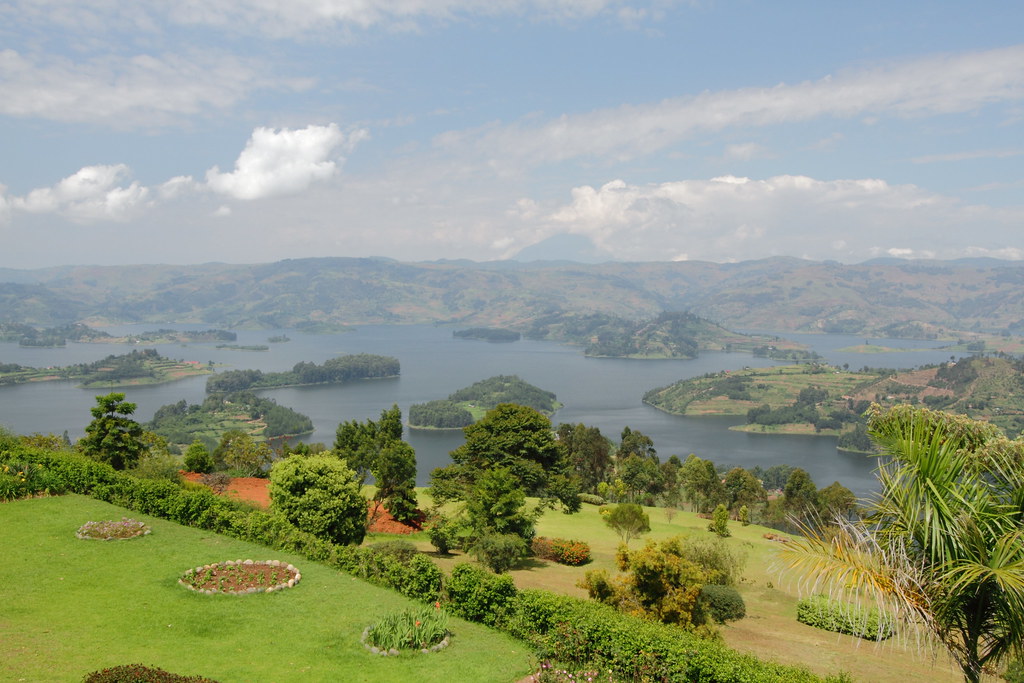
View from Arcadia Cottages 2
View from Rutinda Market 3
View from Arcadia Cottages 3
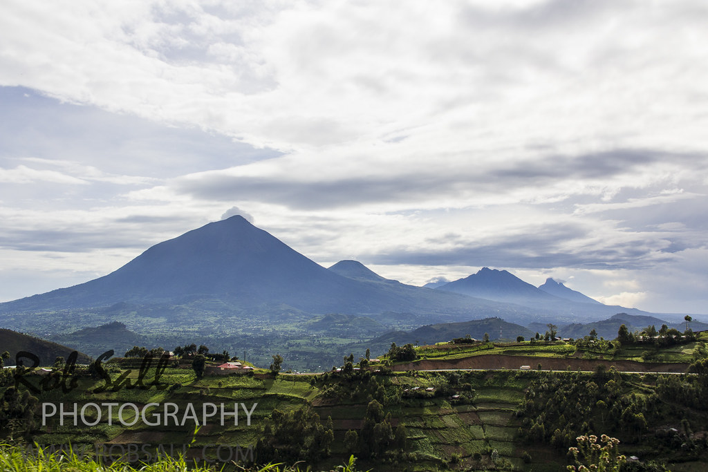
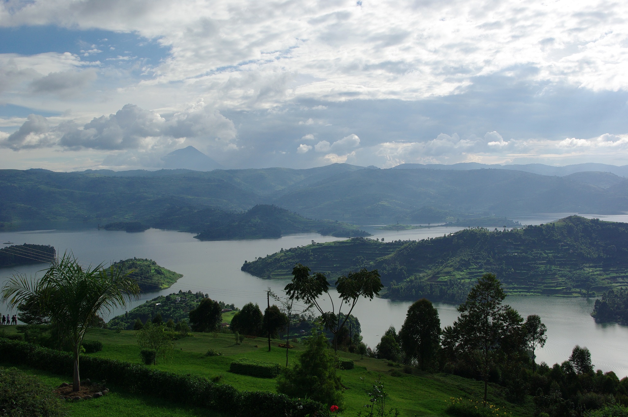
The distant view to Volcano's National Park Rwanda which shares the boder with Uganda and the DRC
The #view of lake #bunyoni
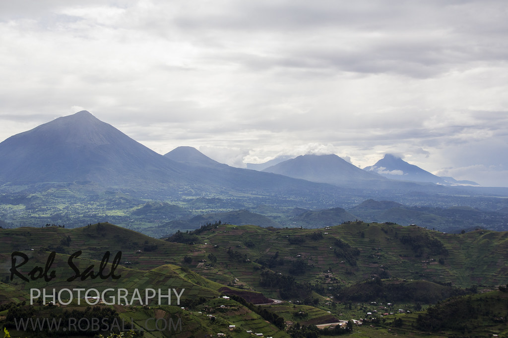
The distant view to Volcano's National Park Rwanda which shares the boder with Uganda and the DRC

View from Arcadia Cottages 1

View from Rutinda Market 2
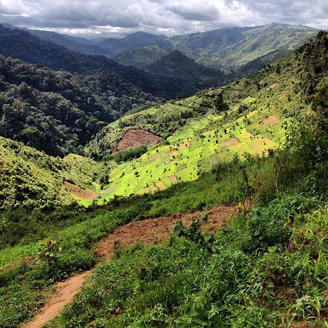
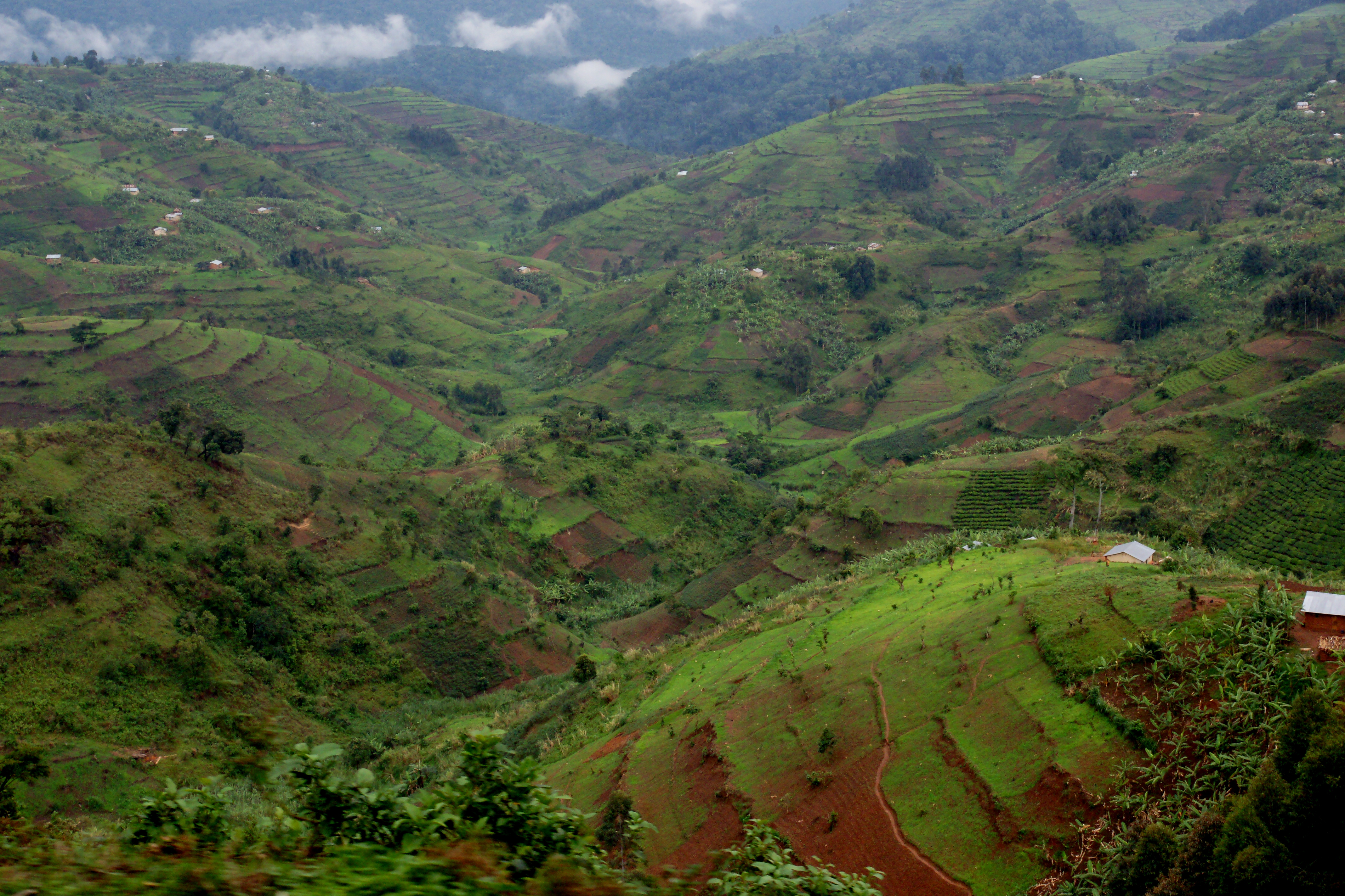
Southwestern Uganda, stripes of land and light. Taken between the local farms and jungles of Bwindi Impenetrable National Park.

Oeganda - Lake Bunyonyi
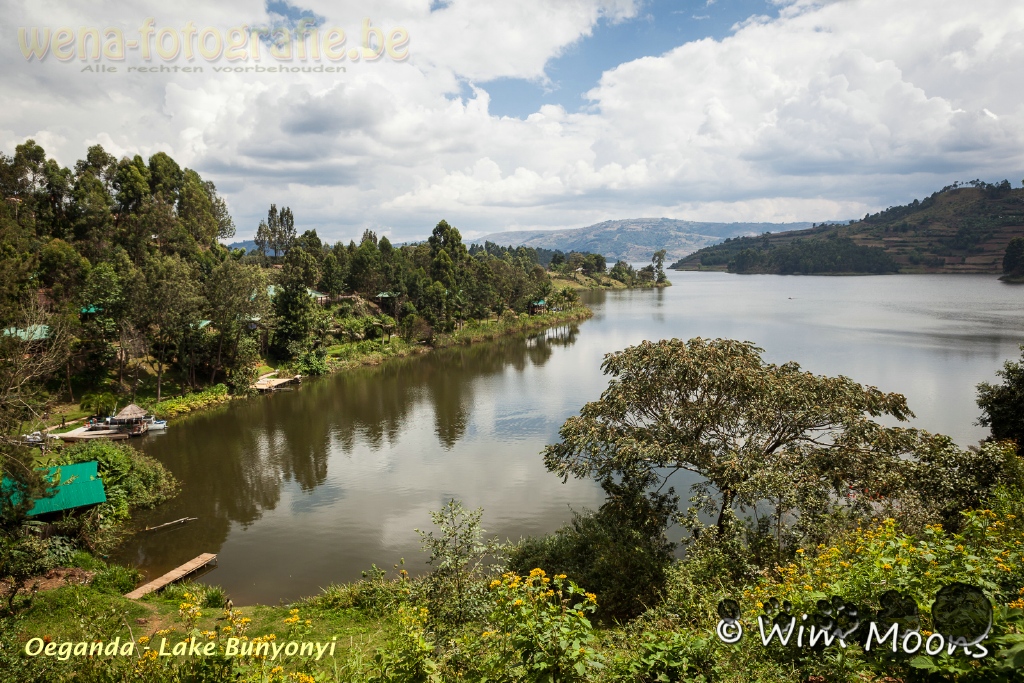
Oeganda - Lake Bunyonyi
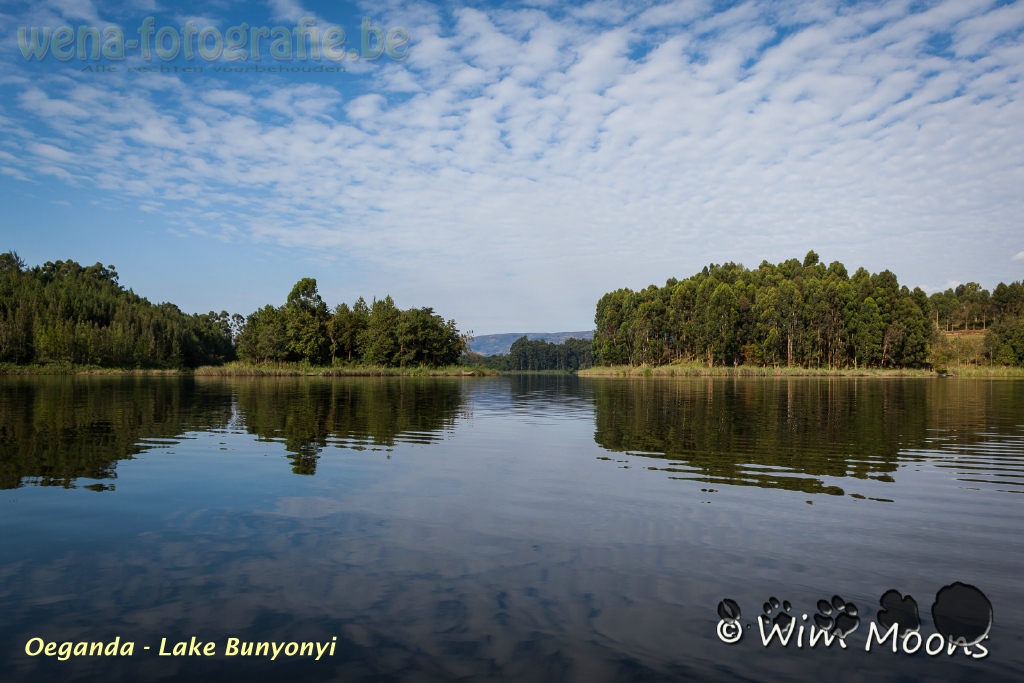
Oeganda - Lake Bunyonyi

Queen Elisabeth National Park
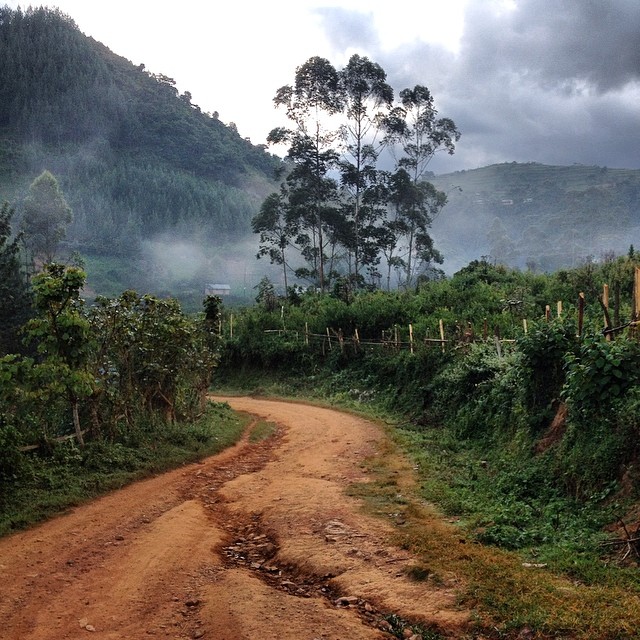
Africa red, Africa green. Roads carving the jungle, etched by the rains. As I took this photo in Southwestern Uganda, I overheard someone say, "I can't believe it, we are in the jungle, in Africa." True that.

The drive south to Rwanda
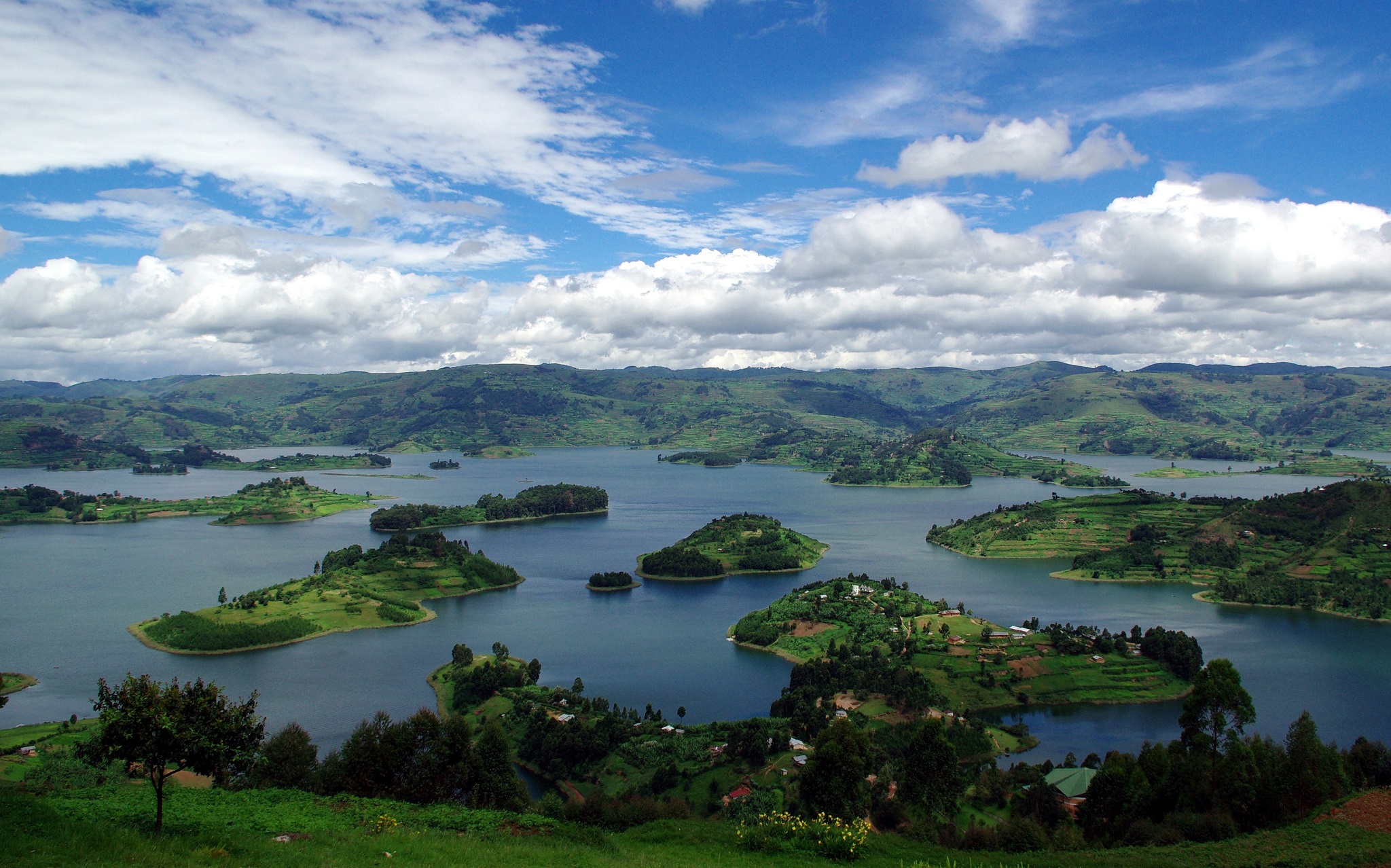
Lake Bunyonyi
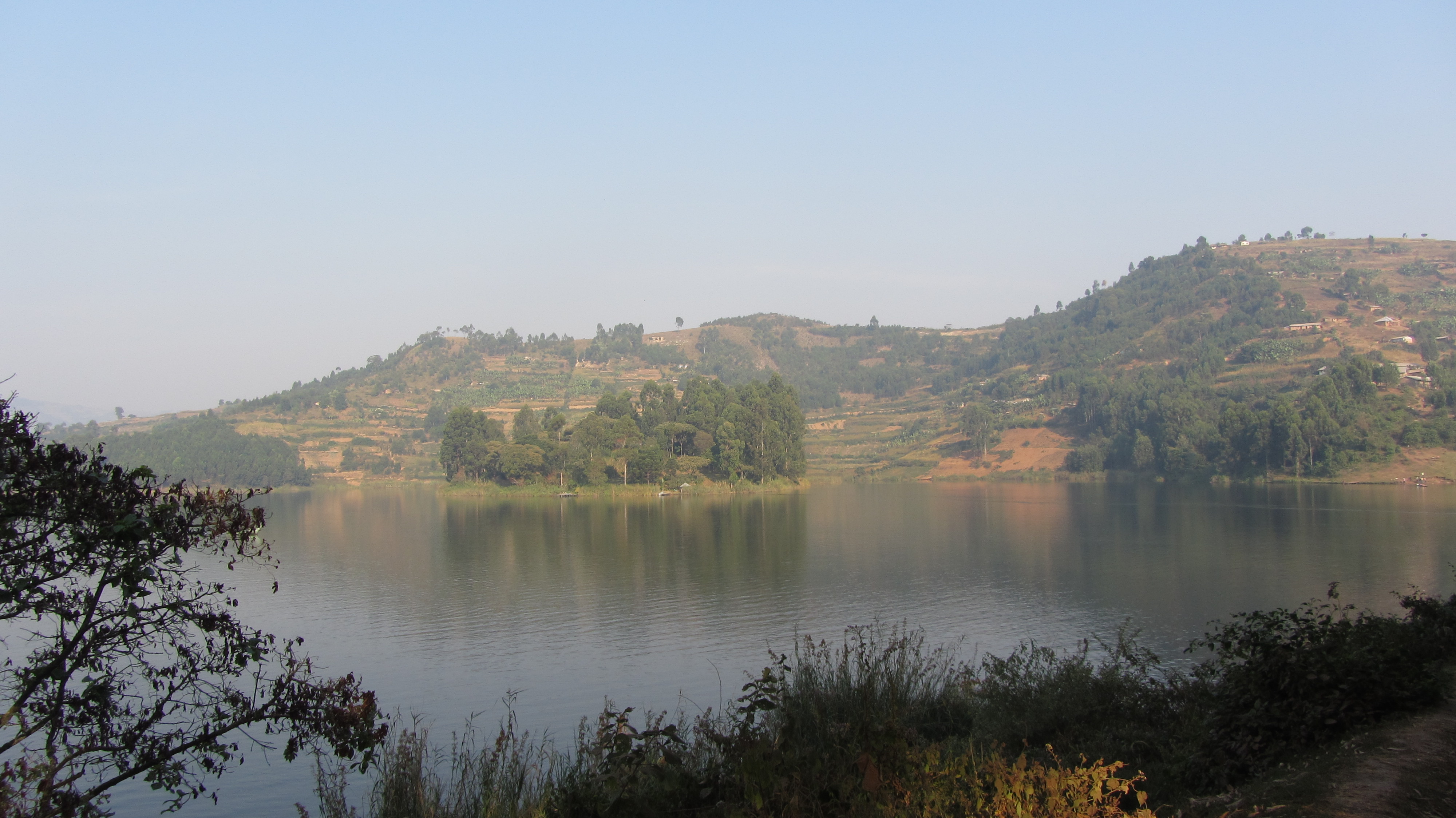
Lake Bunyonyi
Lake Bunyonyi
Uganda-2443
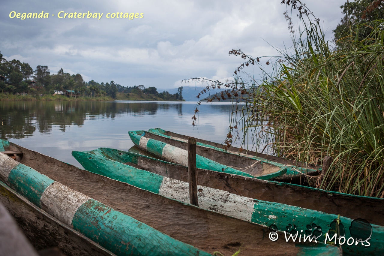
Oeganda - Craterbay cottages

Mubwindi Swamp
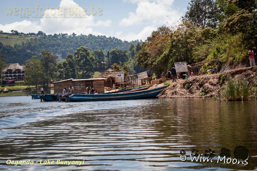
Oeganda - Lake Bunyonyi
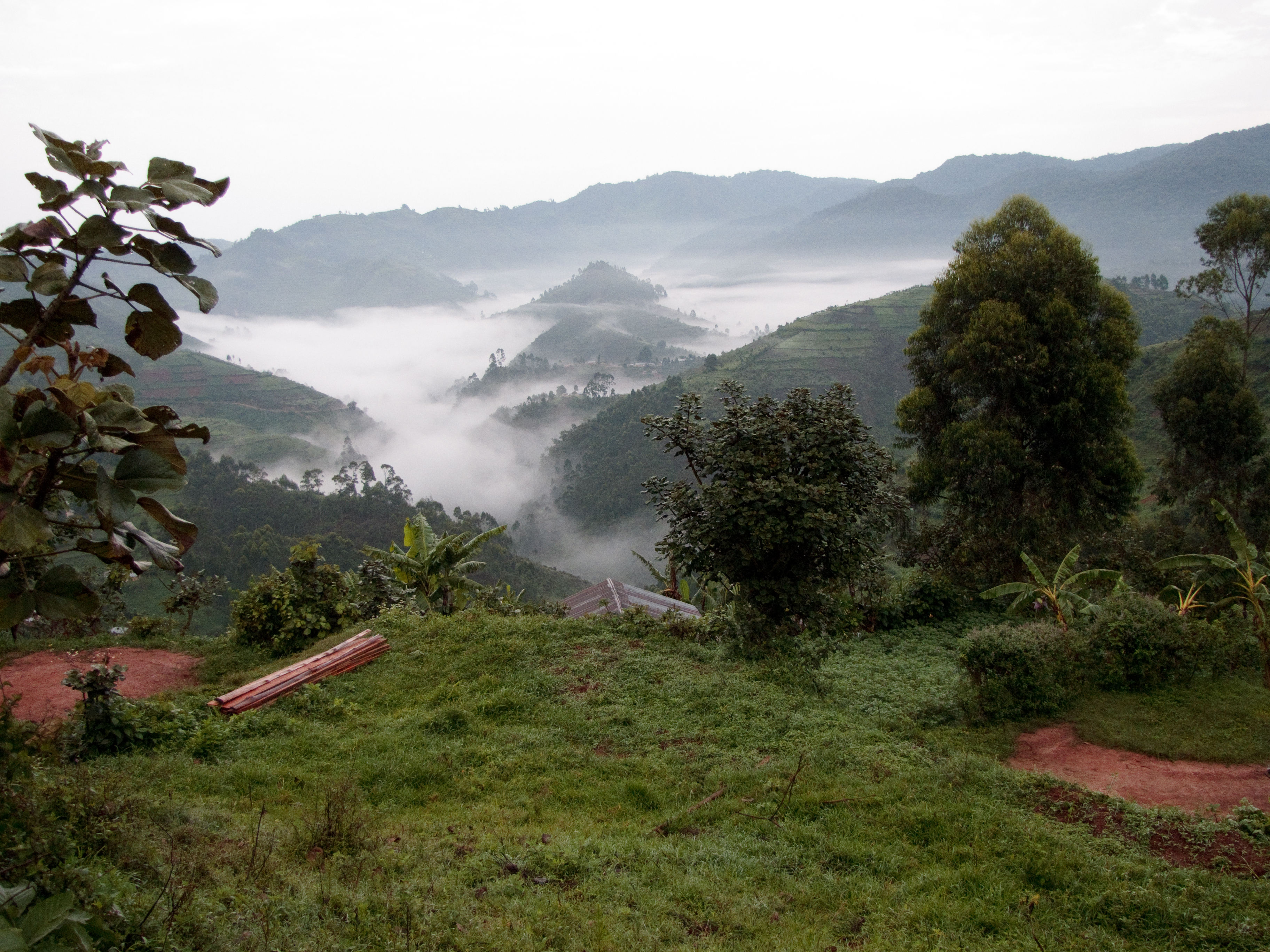
Mist over Bwindi Impenetrable Forest
Lake Bunyoni to Bwindi - 23

Gorilla Trekking

biwindi impenetrable national park
Topographic Map of Rubanda, Uganda
Find elevation by address:

Places in Rubanda, Uganda:
Places near Rubanda, Uganda:
Lake Bunyonyi
Kabale
Ruhija Community Rest Camp
Makanga Golf Course Polling Post
Kisoro
Bufumbira
Kisoro
Bwindi Impenetrable National Park
Kabale
Butaro
Kidaho
Gorilla Safari Lodge
St. Peter's Rubuguri Primary School
Muhavura Volcano
Mgahinga Gorilla National Park
Mount Gahinga Lodge
Buhoma Lodge
Bwindi Lodge
Bwindi Community Hospital
Kanungu
Recent Searches:
- Elevation of Congressional Dr, Stevensville, MD, USA
- Elevation of Bellview Rd, McLean, VA, USA
- Elevation of Stage Island Rd, Chatham, MA, USA
- Elevation of Shibuya Scramble Crossing, 21 Udagawacho, Shibuya City, Tokyo -, Japan
- Elevation of Jadagoniai, Kaunas District Municipality, Lithuania
- Elevation of Pagonija rock, Kranto 7-oji g. 8"N, Kaunas, Lithuania
- Elevation of Co Rd 87, Jamestown, CO, USA
- Elevation of Tenjo, Cundinamarca, Colombia
- Elevation of Côte-des-Neiges, Montreal, QC H4A 3J6, Canada
- Elevation of Bobcat Dr, Helena, MT, USA