Elevation of Roxbury, NY, USA
Location: United States > New York > Delaware County > Roxbury >
Longitude: -74.554722
Latitude: 42.3004166
Elevation: 459m / 1506feet
Barometric Pressure: 96KPa
Elevation Map:
Satellite Map:
Related Photos:

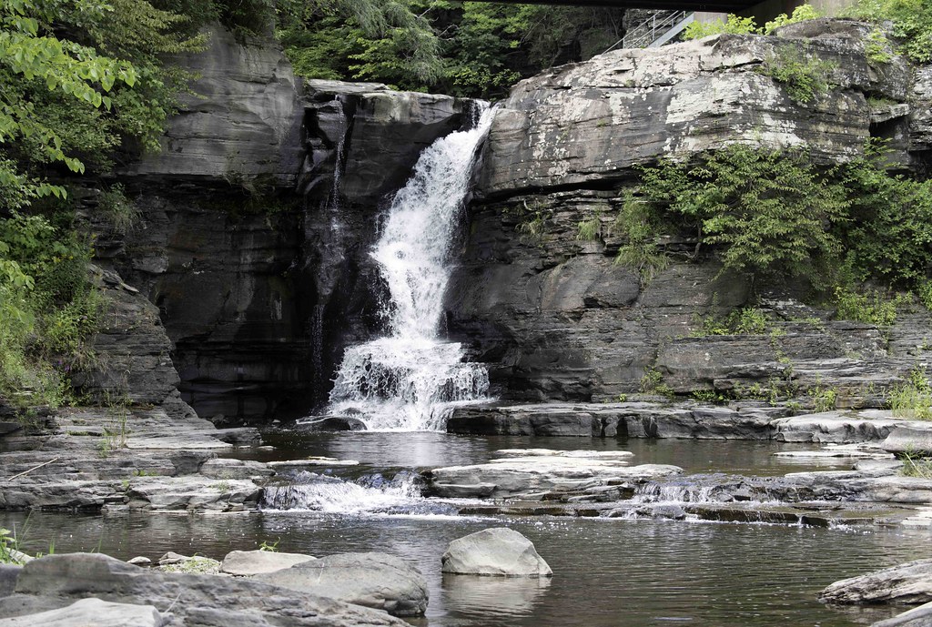
Minekill Falls

Triple View Farm

The Aspiring Photographers

Big Yellow House

September 4 (247/365)

The Other Side Of The Road
cst-hills

Still There After 10 Years 3

Warner 10
this is my view while cooking paella

Little Known View of Mine Kill Falls
View from the Col on Plattekill Mountain

View From Burroughs Grave Site
View from Gravesite

Mount Utsayantha

View from Artist Studio

Another View Near Burroughs Grave
View of Gorge Walls
April 10 (100/365)
View from Middle Landing

Morning Mist, Stamford

Small Lake

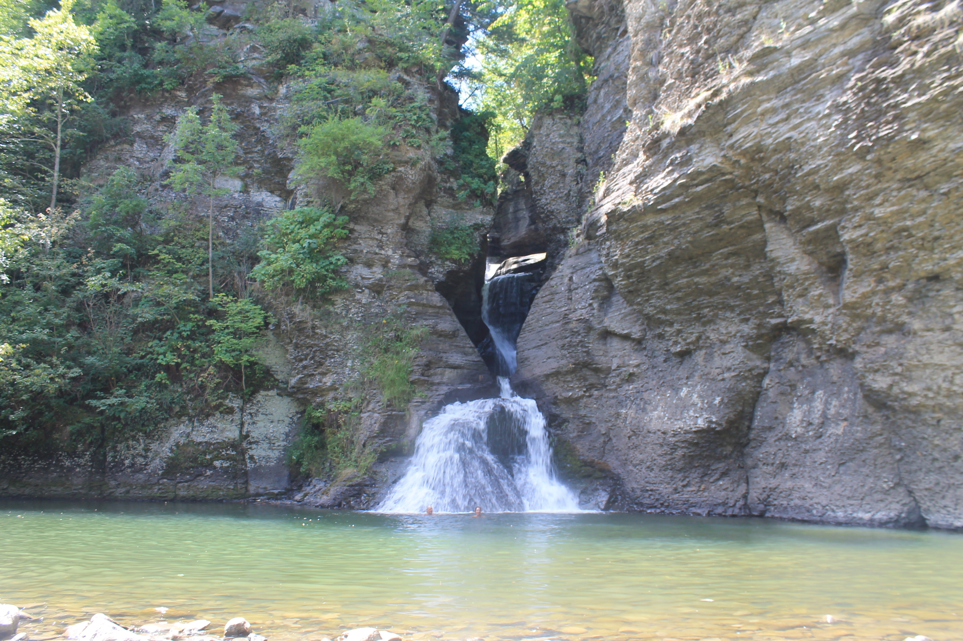
Mine Kill Falls

Bovina Barn

Churchill Mountain
Mace Wetlands Park

Catskills Panorama

A Tree

Greene County

Country Charm

Over Yonder

Northern Catskills

Mt Utsayantha
Hardenburgh Falls

top o' the hill

Manor Kill Falls

Tower Mountain Road

Upper Mine Kill Falls

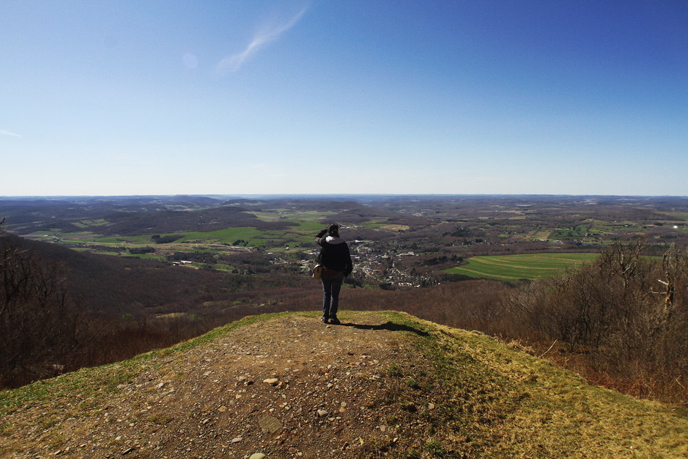
Catskill Mountains from the Firetower
Topographic Map of Roxbury, NY, USA
Find elevation by address:

Places in Roxbury, NY, USA:
Places near Roxbury, NY, USA:
126 Montgomery Hollow Rd
New York 30
161 N Montgomery Hollow Rd
144 Raeder Rd
53870 Ny-30
Roxbury
Lake Street
Co Rd 41, Roxbury, NY, USA
339 Pleasant Valley Rd
Dugan Hill Road
978 Scott Greene Rd
1800 Dugan Hill Rd
Ploutz Road
626 Lords Ln
82 Roxi Ln
2727 Vega Mountain Rd
351 Charles Morse Rd
Charles Morse Road
221 Morse Farm Rd
Andrew Gray Rd, Roxbury, NY, USA
Recent Searches:
- Elevation of 6 Rue Jules Ferry, Beausoleil, France
- Elevation of Sattva Horizon, 4JC6+G9P, Vinayak Nagar, Kattigenahalli, Bengaluru, Karnataka, India
- Elevation of Great Brook Sports, Gold Star Hwy, Groton, CT, USA
- Elevation of 10 Mountain Laurels Dr, Nashua, NH, USA
- Elevation of 16 Gilboa Ln, Nashua, NH, USA
- Elevation of Laurel Rd, Townsend, TN, USA
- Elevation of 3 Nestling Wood Dr, Long Valley, NJ, USA
- Elevation of Ilungu, Tanzania
- Elevation of Yellow Springs Road, Yellow Springs Rd, Chester Springs, PA, USA
- Elevation of Rēzekne Municipality, Latvia