Elevation of NY-30, Roxbury, NY, USA
Location: United States > New York > Delaware County > Roxbury >
Longitude: -74.561729
Latitude: 42.2884215
Elevation: 455m / 1493feet
Barometric Pressure: 96KPa
Elevation Map:
Satellite Map:
Related Photos:

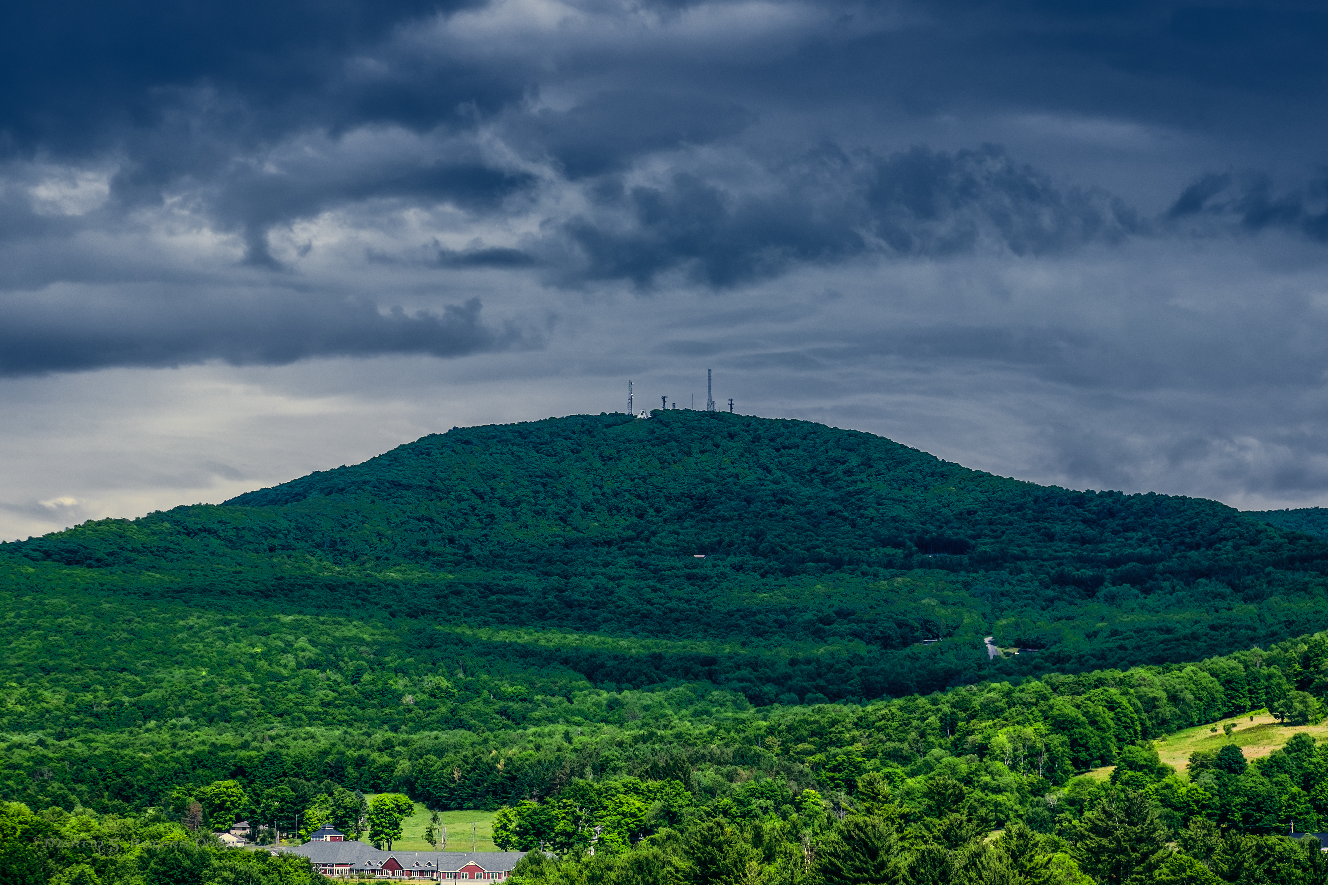
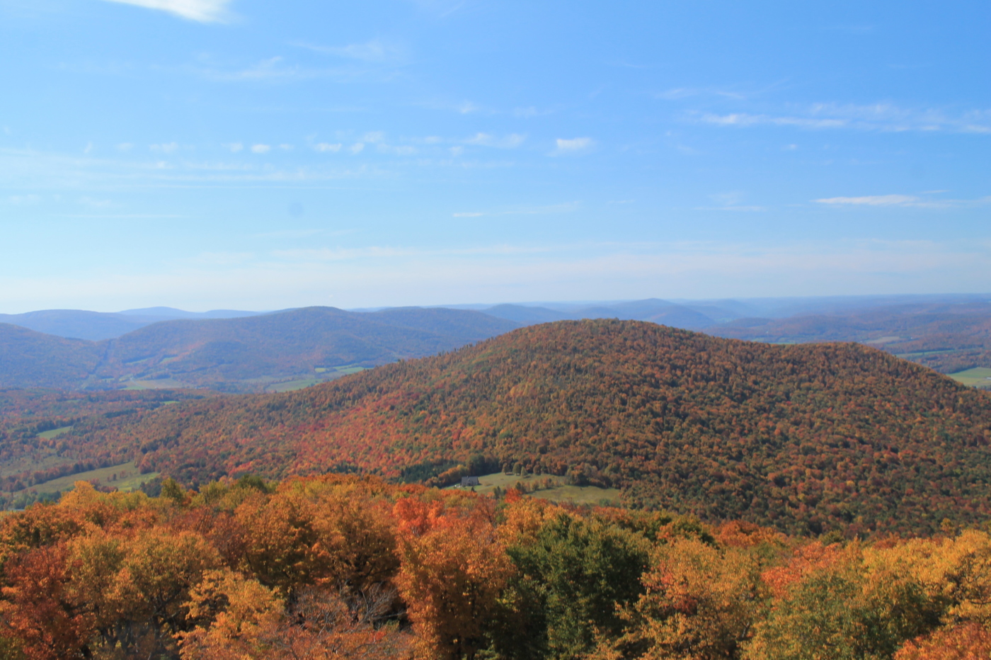
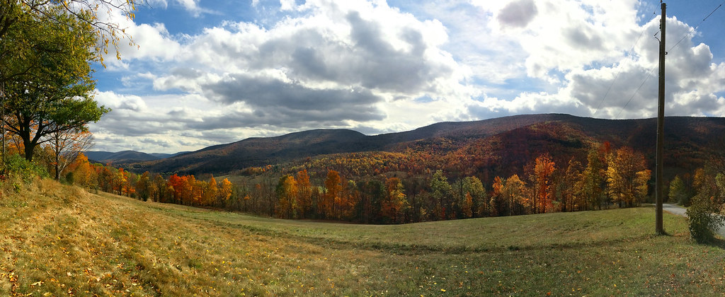
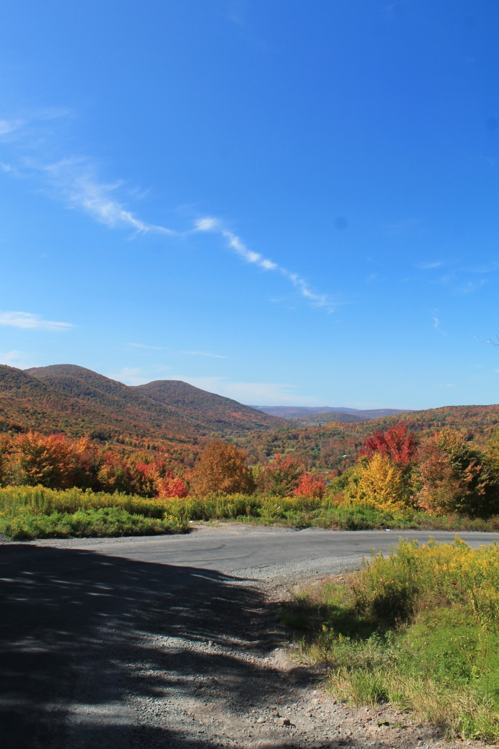
cst-hills
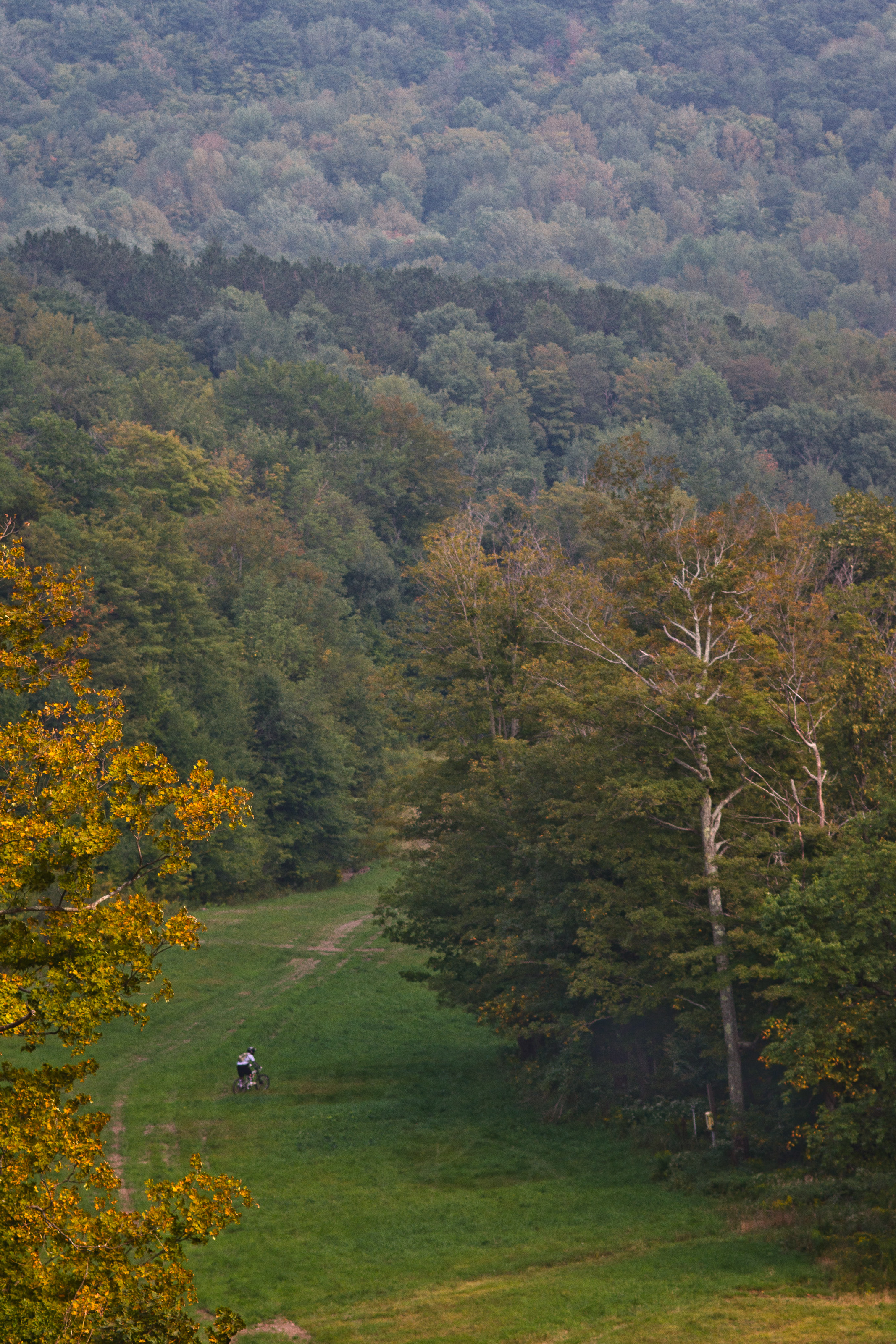
The Other Side Of The Road
The Aspiring Photographers
September 4 (247/365)

Warner 10
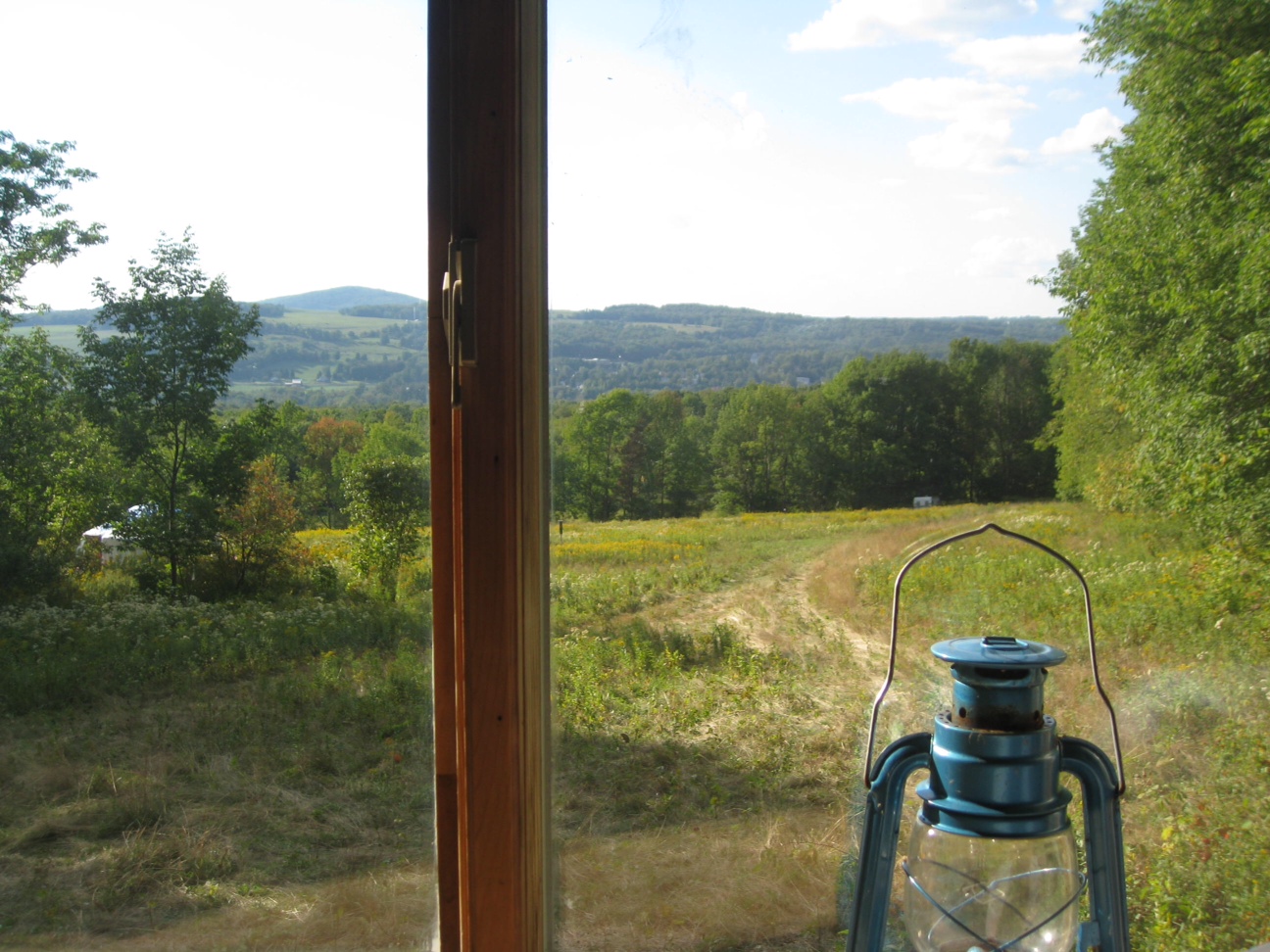
View North (Schoharie Res)
Mount Utsayantha
Another View Near Burroughs Grave

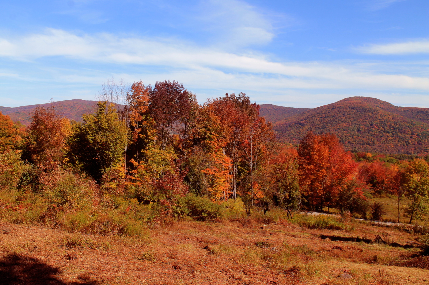
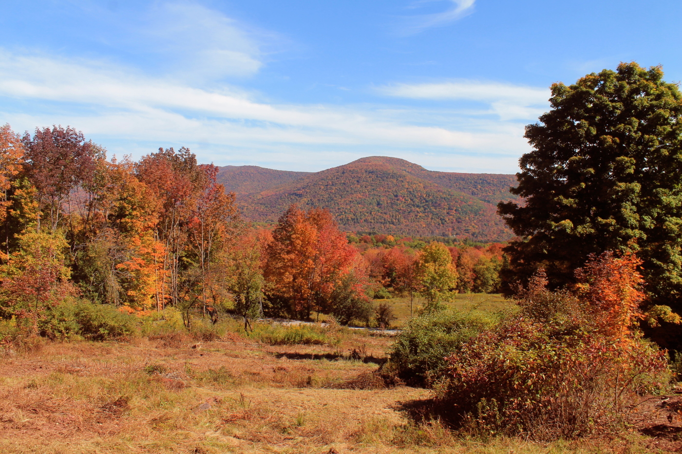
Grand Gorge, NY 20031014 076 view from New York State Route 30
View From Burroughs Grave Site

Grand Gorge, NY 20031014 075 view from New York State Route 30

Time for take off...

Still There After 10 Years 3

View from the Col on Plattekill Mountain

A view of the beautiful Catskills from the top of the Face at Ski Plattekill!!!

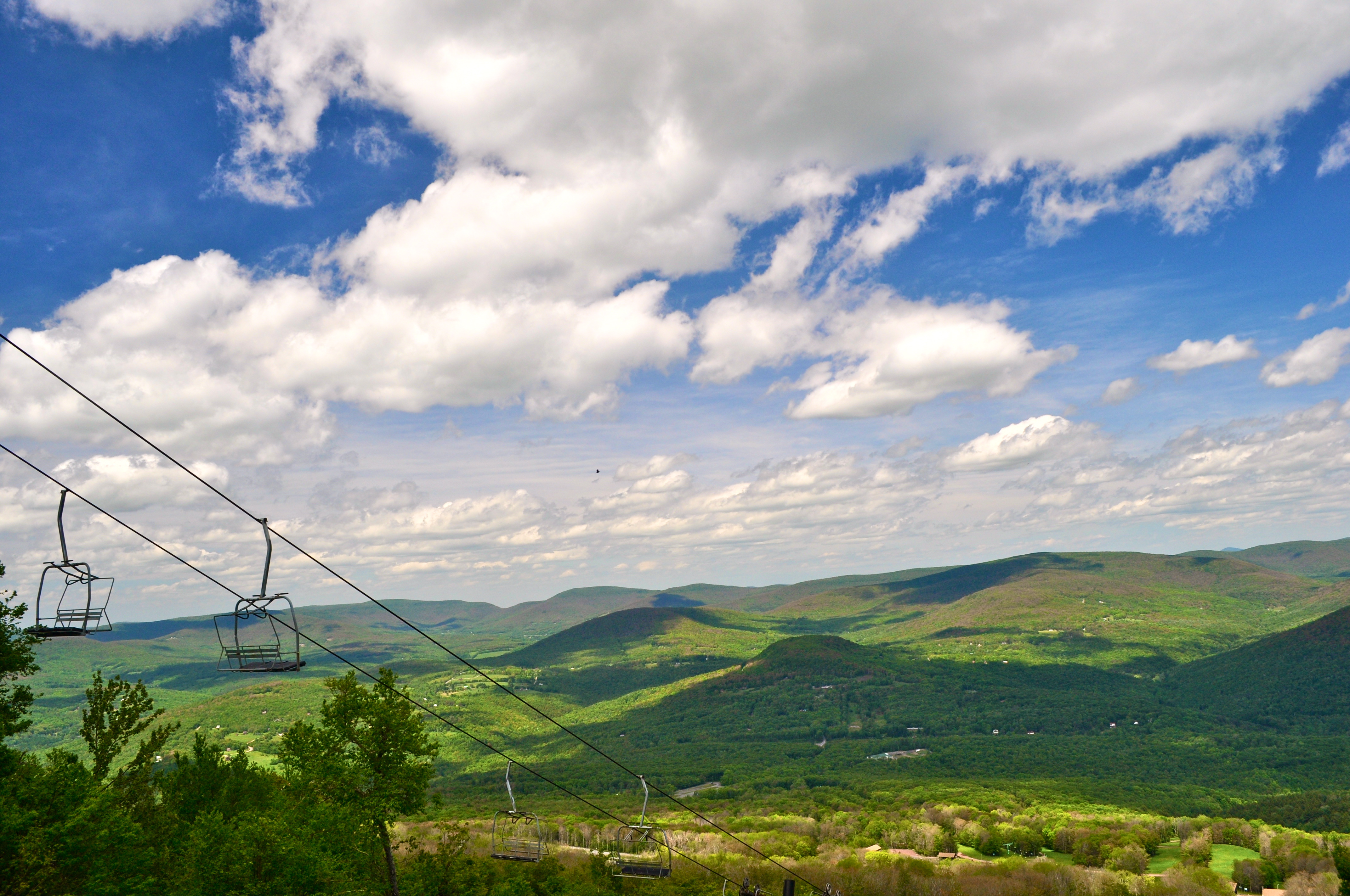
View from Middle Landing
It's up there...
View From Above
Madalyn's Place

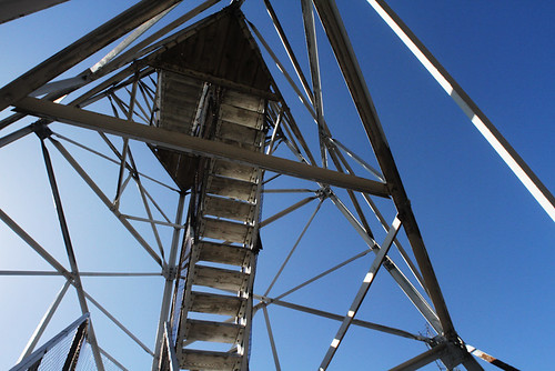
Fire tower view.
View from Artist Studio
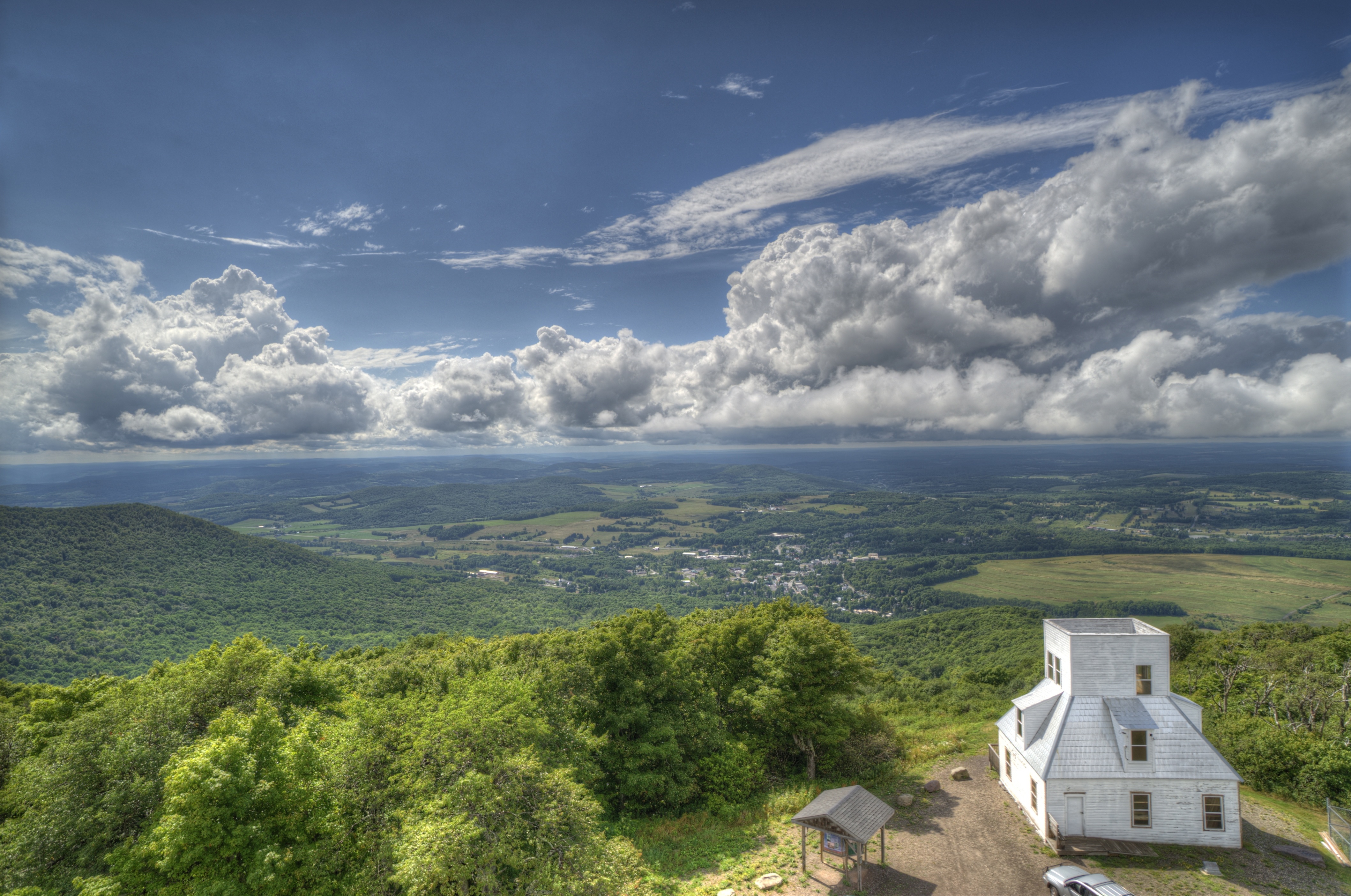
Mt Utsayantha
Churchill Mountain and It's Col
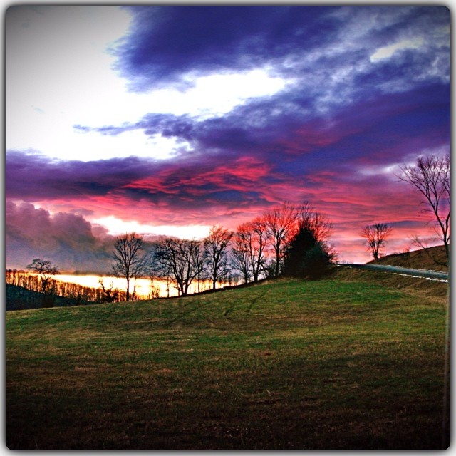
97/366 - May 6, 2012
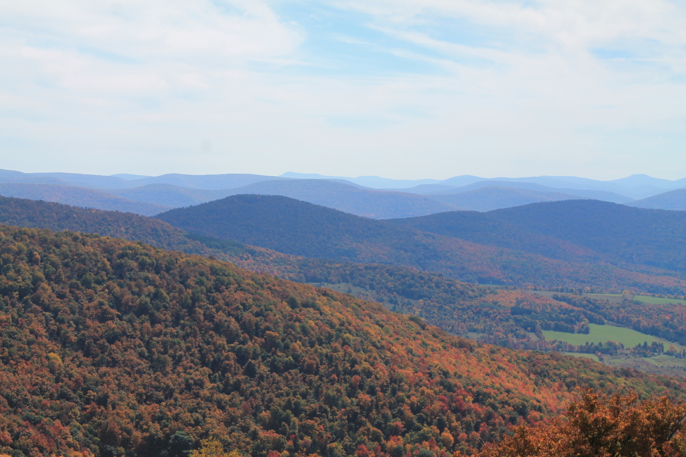
Catskill Mountains from the Firetower
North Towards Burnt Rossman State Forest

Over Yonder
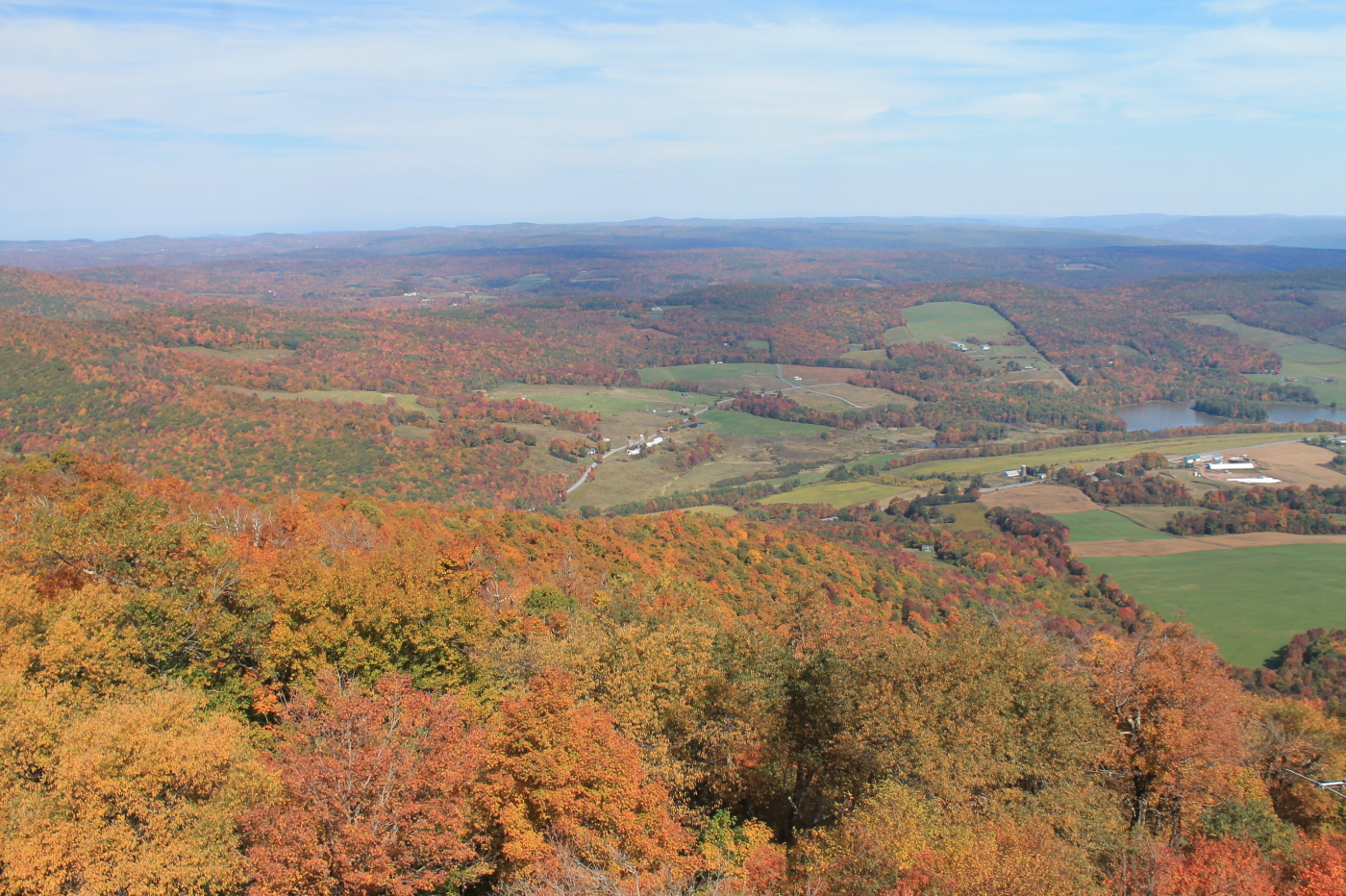
Catskills Panorama

IMAG0391.jpg
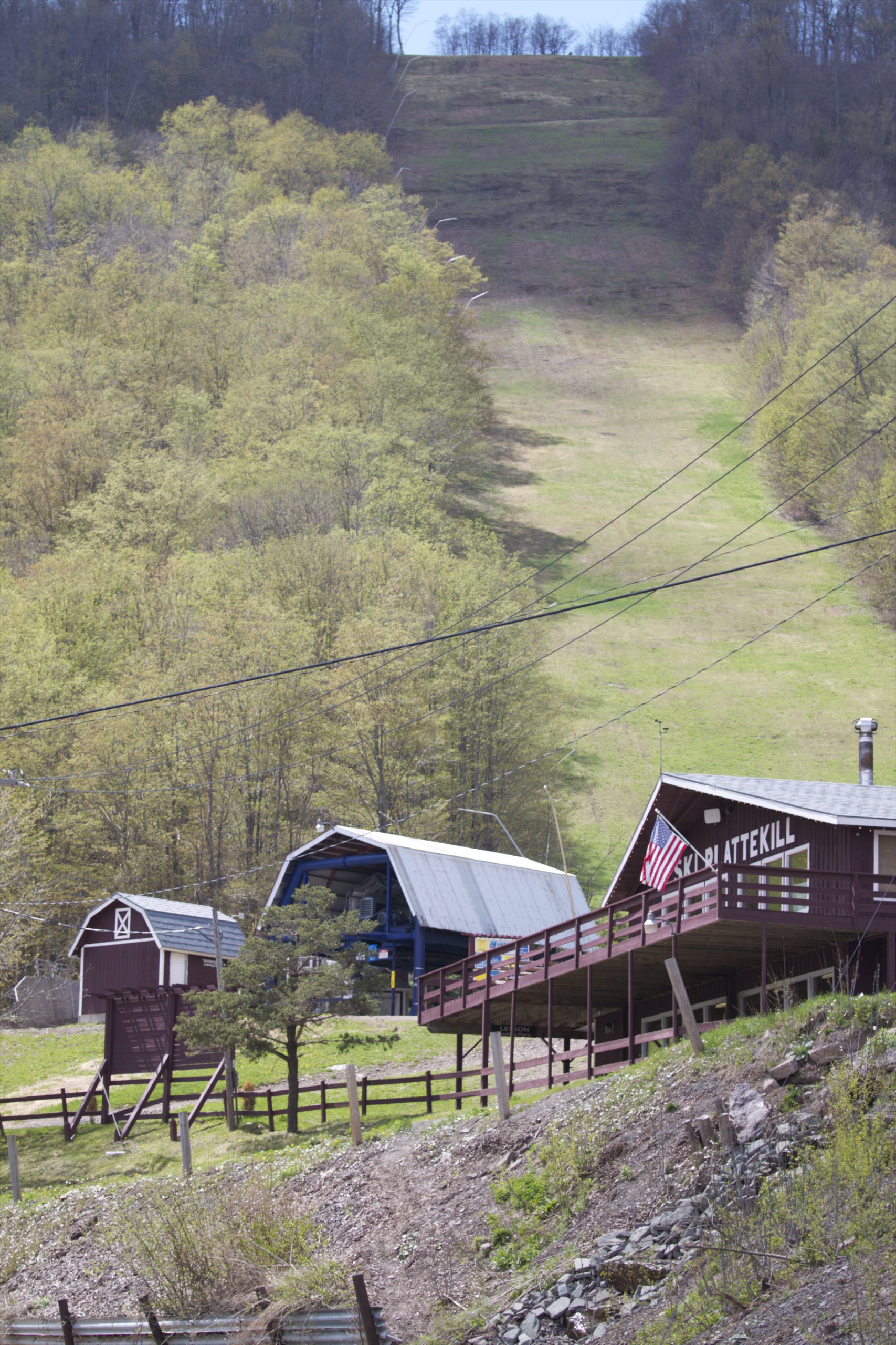
Skiing in the Spring
Greene County

IMAG0390.jpg
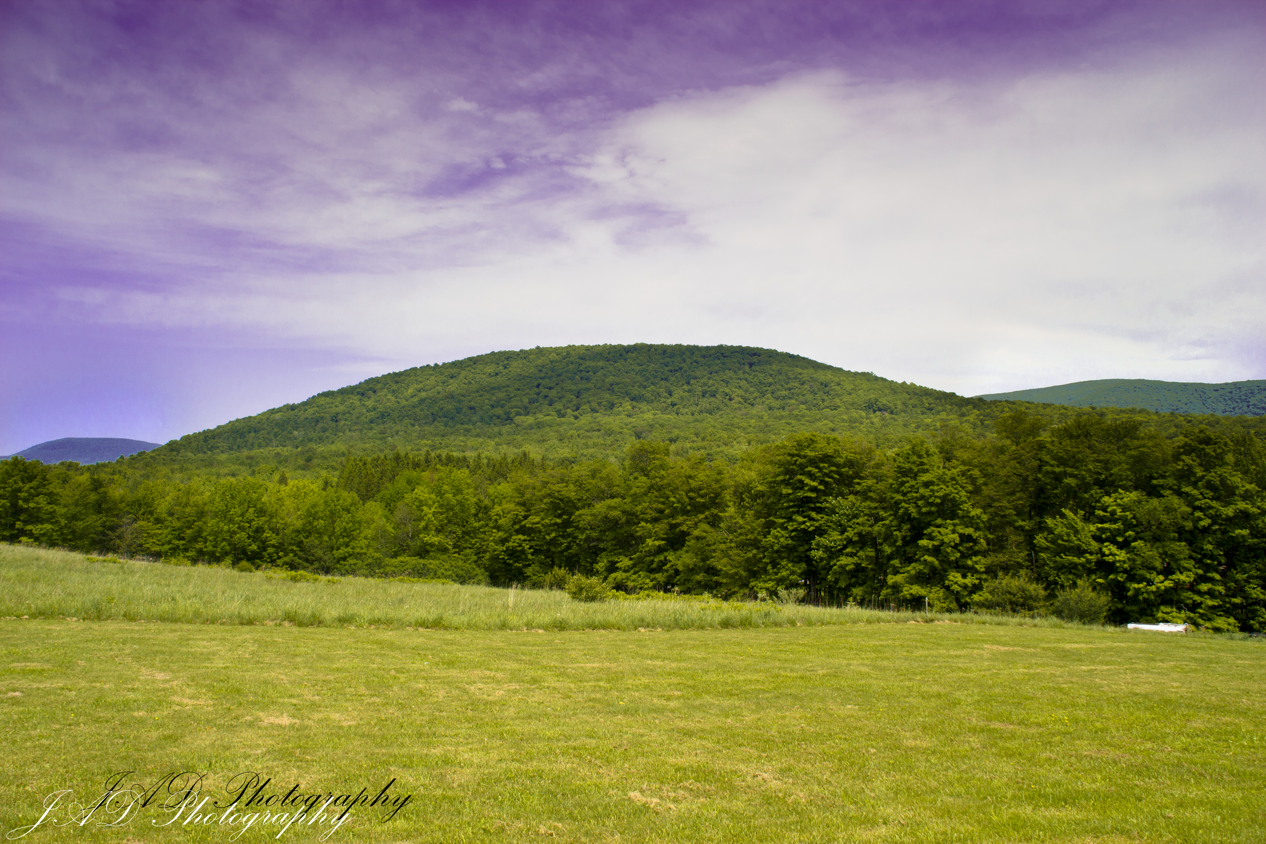
Rolling Hills in Delaware County
Bovina Mountains in the Distance
Last summer run
One of my older ones

Irene was here
DSC_0080.JPG
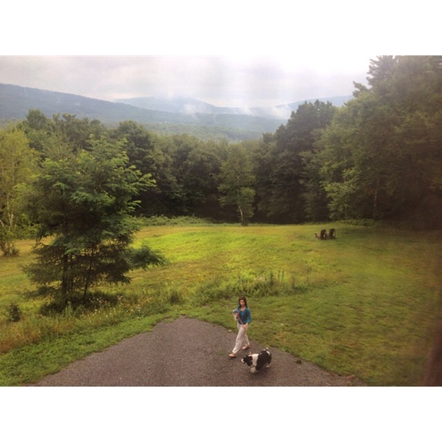
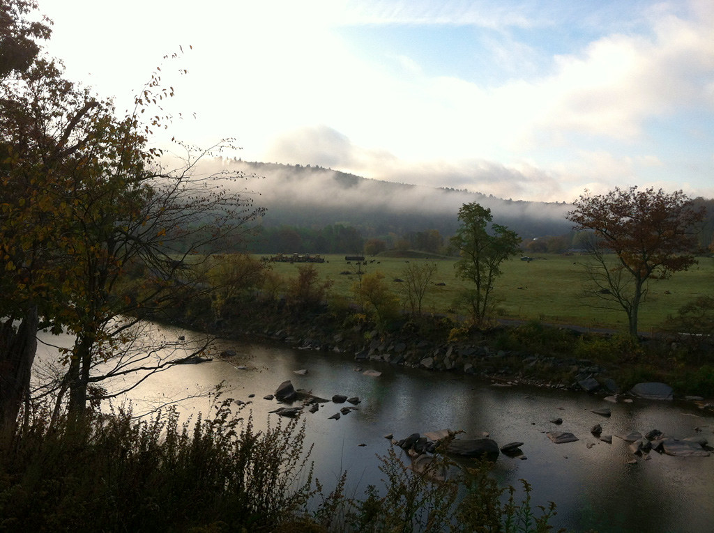
Post morning thunderstorm potty.
Topographic Map of NY-30, Roxbury, NY, USA
Find elevation by address:

Places near NY-30, Roxbury, NY, USA:
Lake Street
Co Rd 41, Roxbury, NY, USA
126 Montgomery Hollow Rd
Roxbury
Roxbury
144 Raeder Rd
New York 30
161 N Montgomery Hollow Rd
978 Scott Greene Rd
626 Lords Ln
2727 Vega Mountain Rd
351 Charles Morse Rd
Charles Morse Road
221 Morse Farm Rd
339 Pleasant Valley Rd
Ploutz Road
Dugan Hill Road
82 Roxi Ln
1800 Dugan Hill Rd
Andrew Gray Rd, Roxbury, NY, USA
Recent Searches:
- Elevation of 6 Rue Jules Ferry, Beausoleil, France
- Elevation of Sattva Horizon, 4JC6+G9P, Vinayak Nagar, Kattigenahalli, Bengaluru, Karnataka, India
- Elevation of Great Brook Sports, Gold Star Hwy, Groton, CT, USA
- Elevation of 10 Mountain Laurels Dr, Nashua, NH, USA
- Elevation of 16 Gilboa Ln, Nashua, NH, USA
- Elevation of Laurel Rd, Townsend, TN, USA
- Elevation of 3 Nestling Wood Dr, Long Valley, NJ, USA
- Elevation of Ilungu, Tanzania
- Elevation of Yellow Springs Road, Yellow Springs Rd, Chester Springs, PA, USA
- Elevation of Rēzekne Municipality, Latvia