Elevation of Co Rd 41, Roxbury, NY, USA
Location: United States > New York > Delaware County > Roxbury >
Longitude: -74.566984
Latitude: 42.2840902
Elevation: 451m / 1480feet
Barometric Pressure: 96KPa
Elevation Map:
Satellite Map:
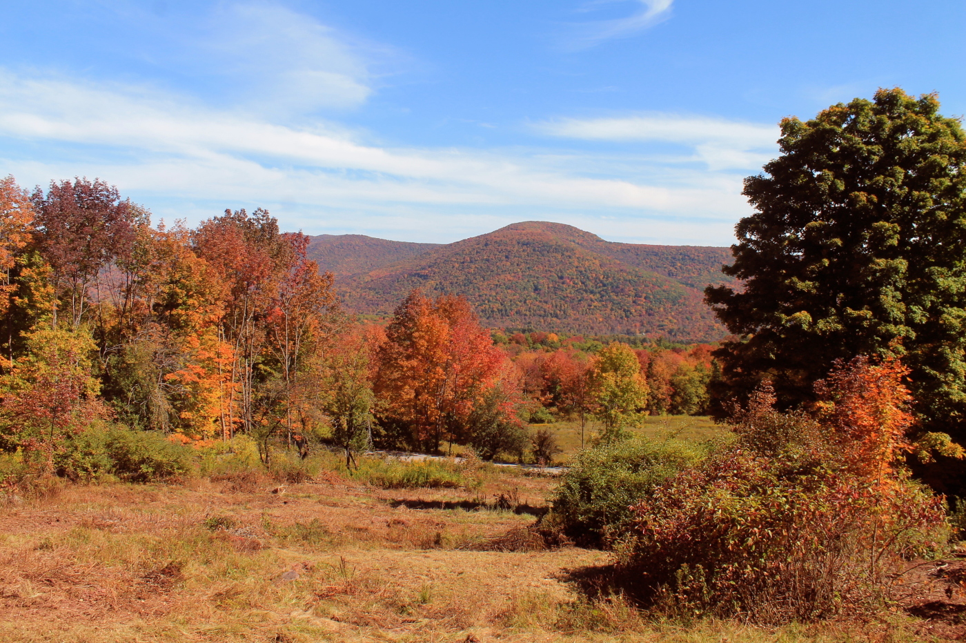
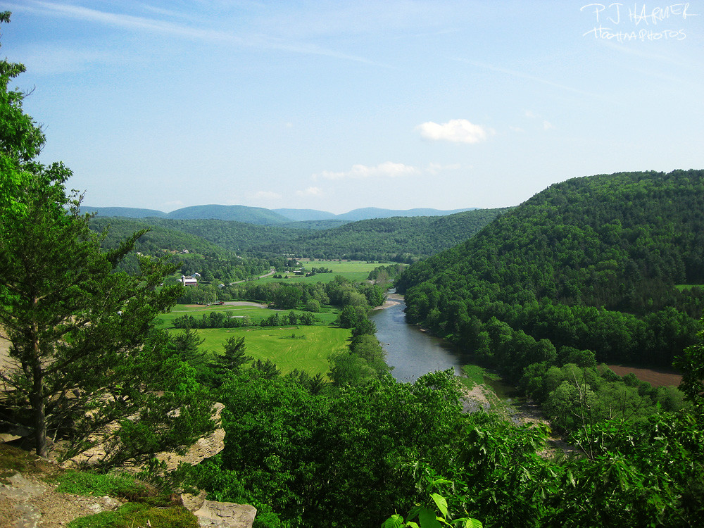
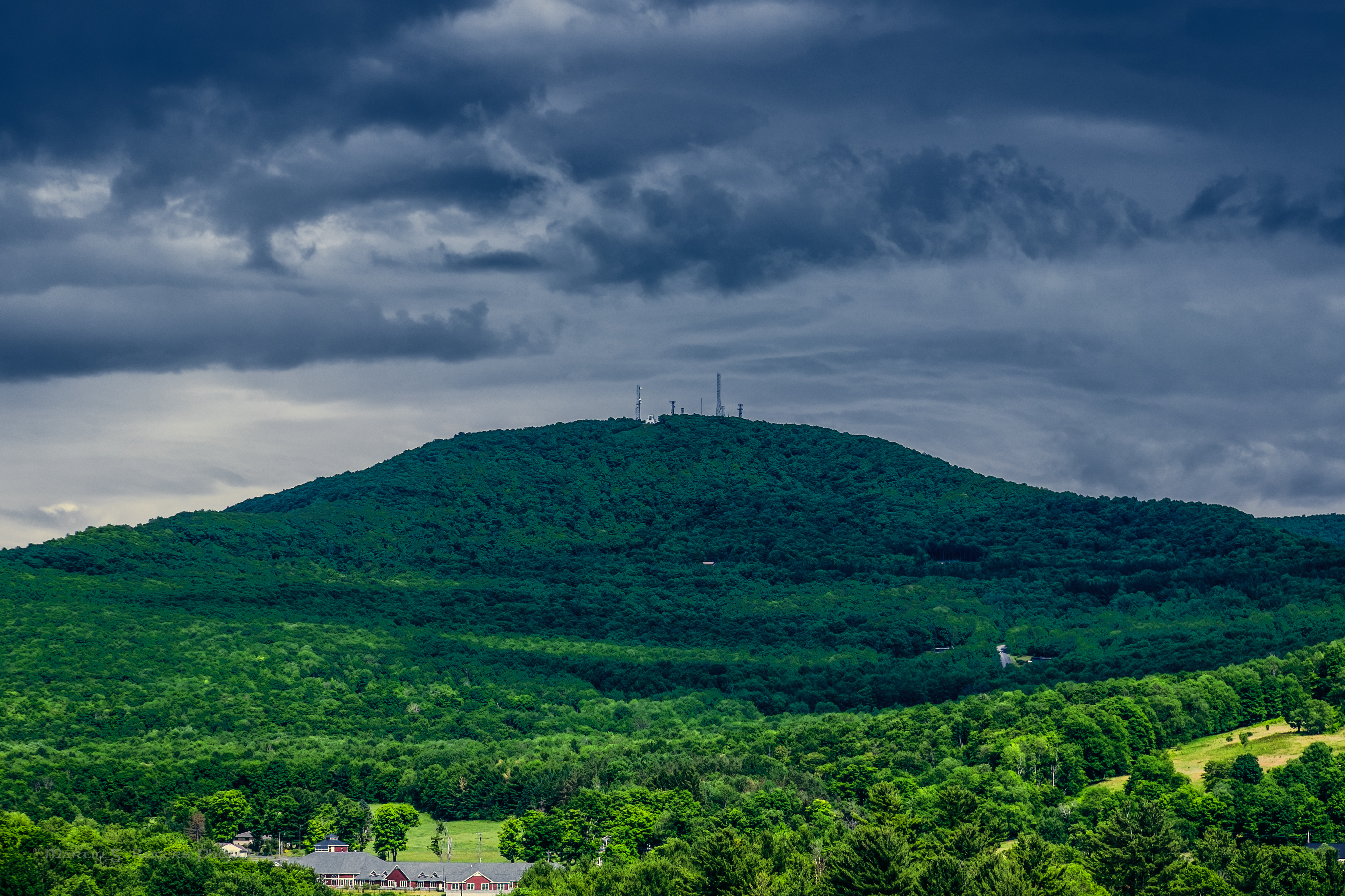
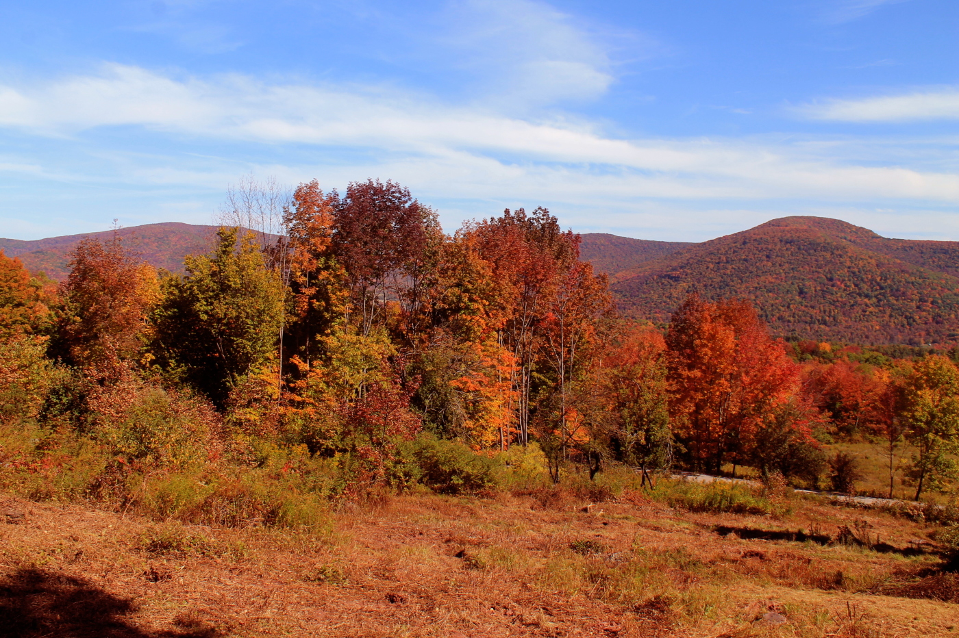
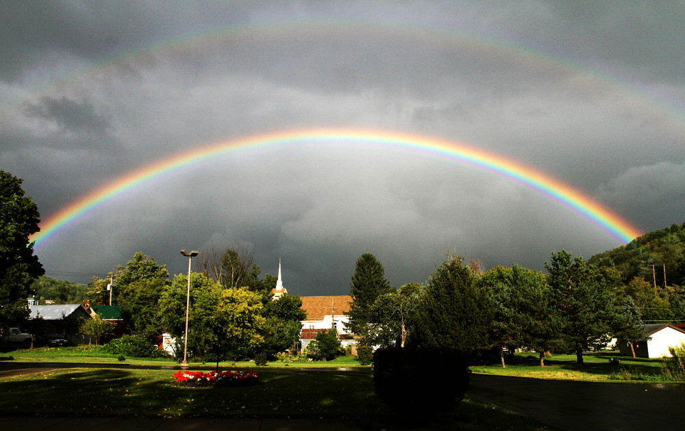
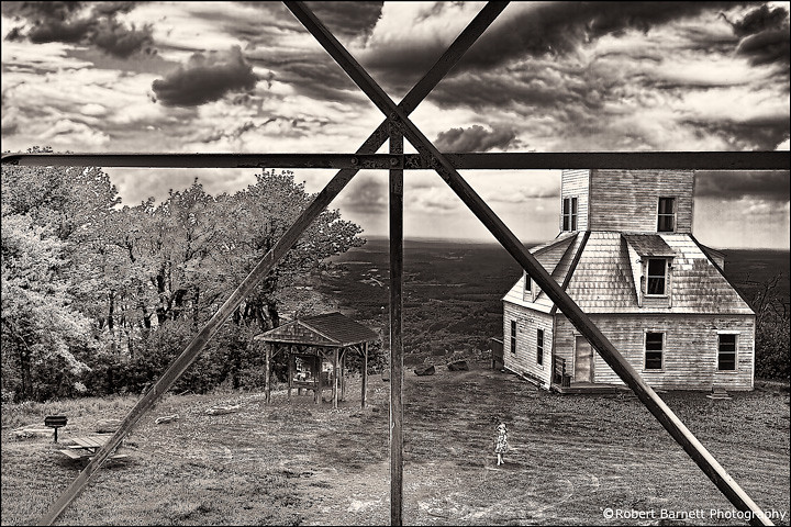
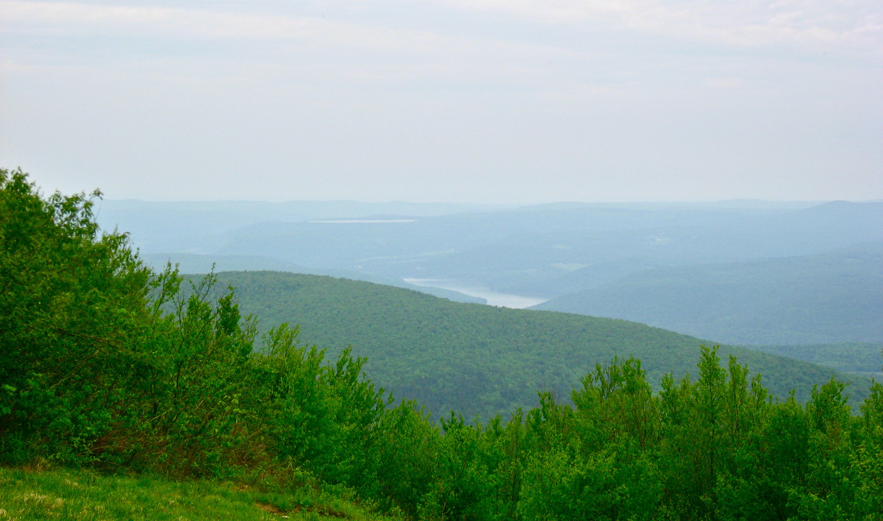
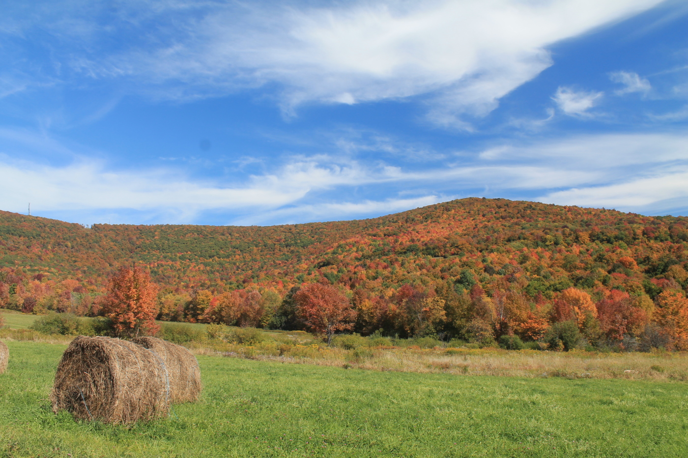
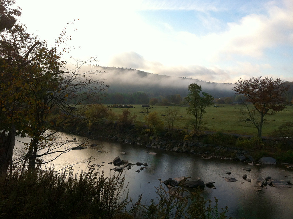
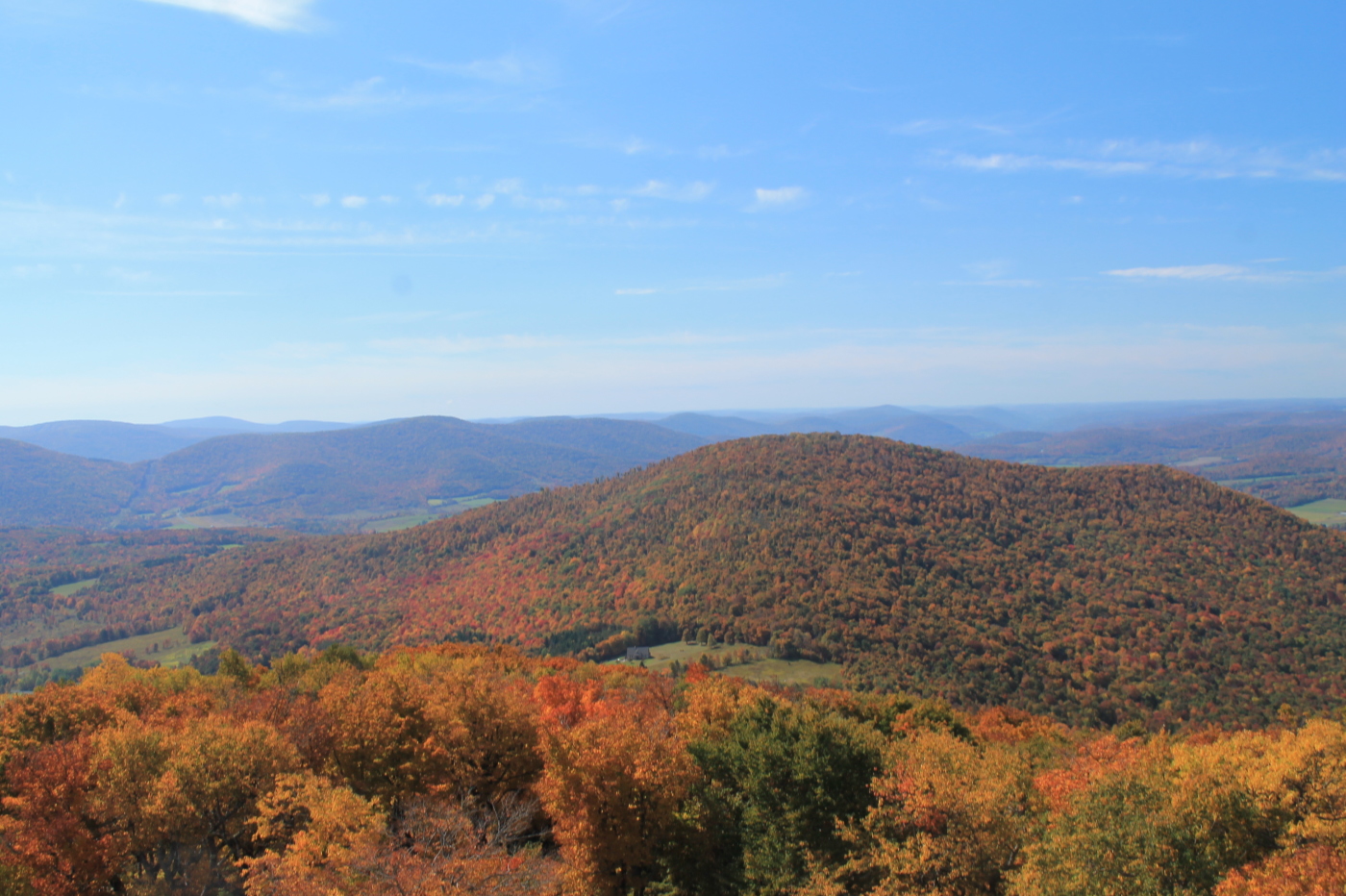
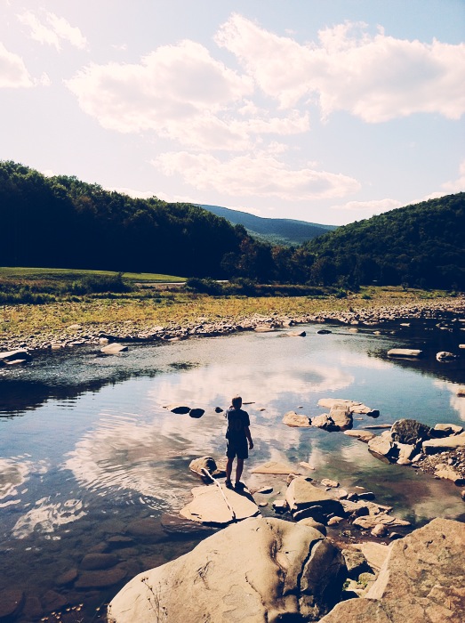
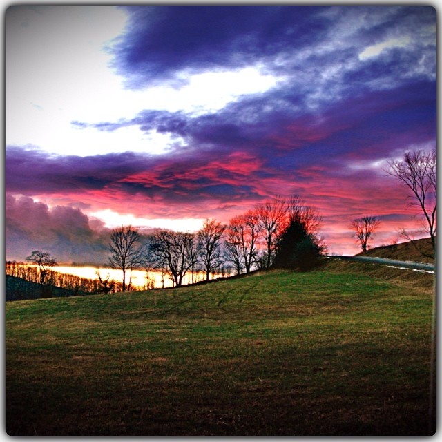
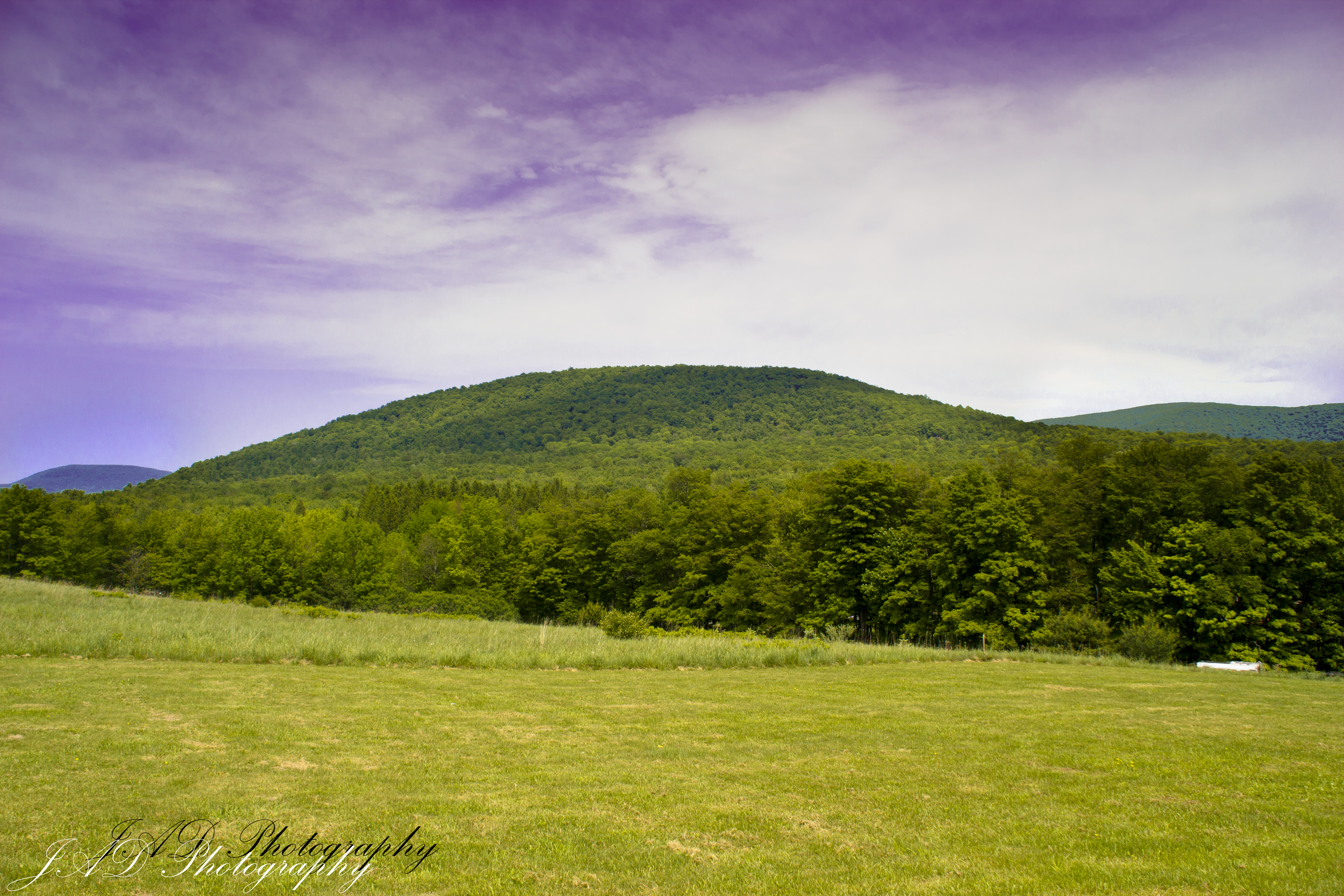
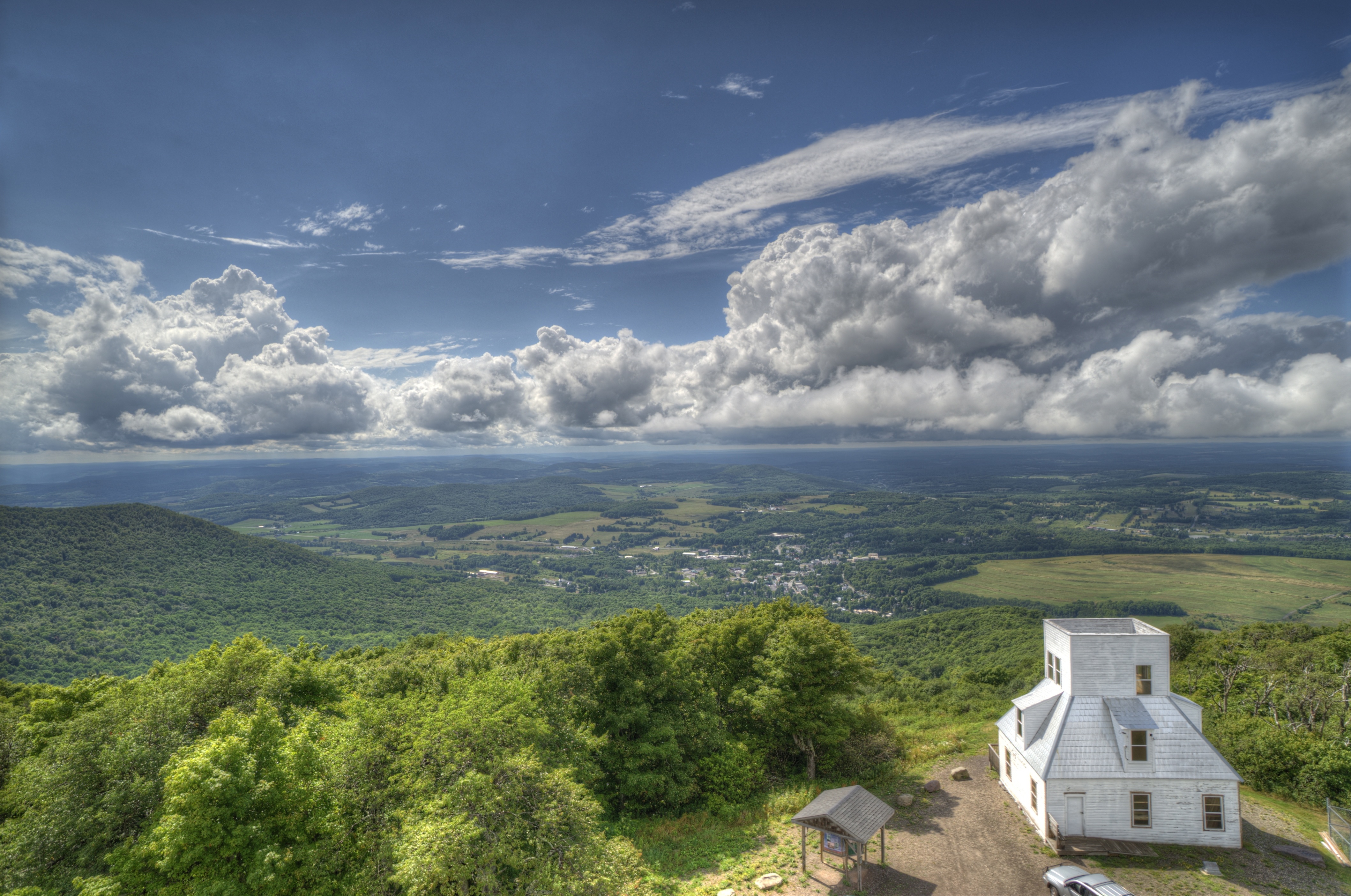
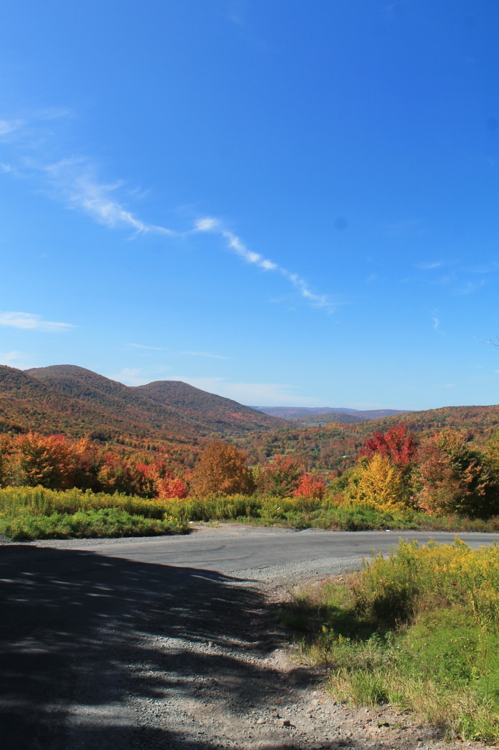
Related Photos:
View From Burroughs Grave Site
From the top
View From Above
Mount Utsayantha
Another View Near Burroughs Grave
September 4 (247/365)

Warner 10
On Mount Utsayantha

cst-hills
View North (Schoharie Res)
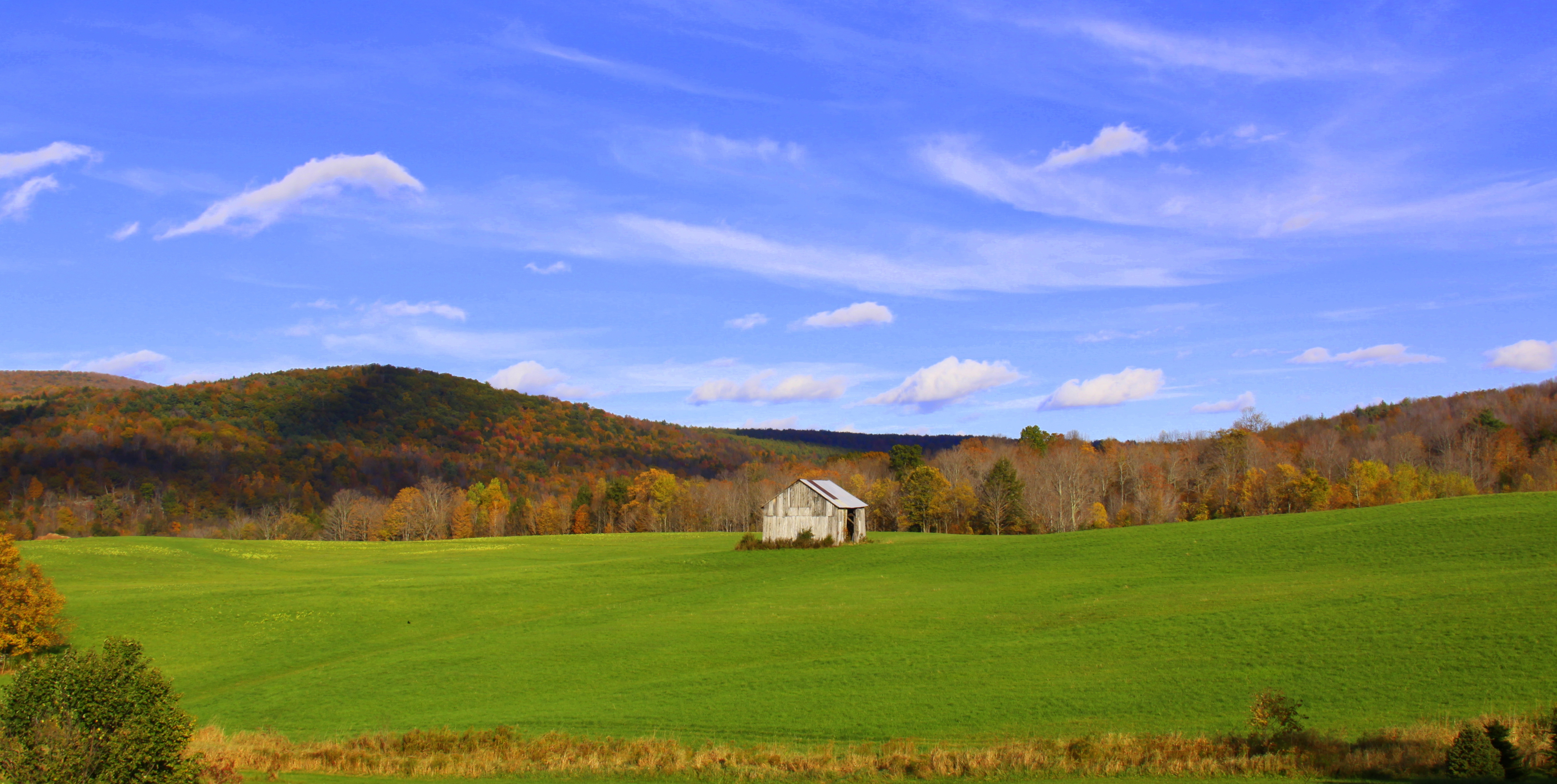
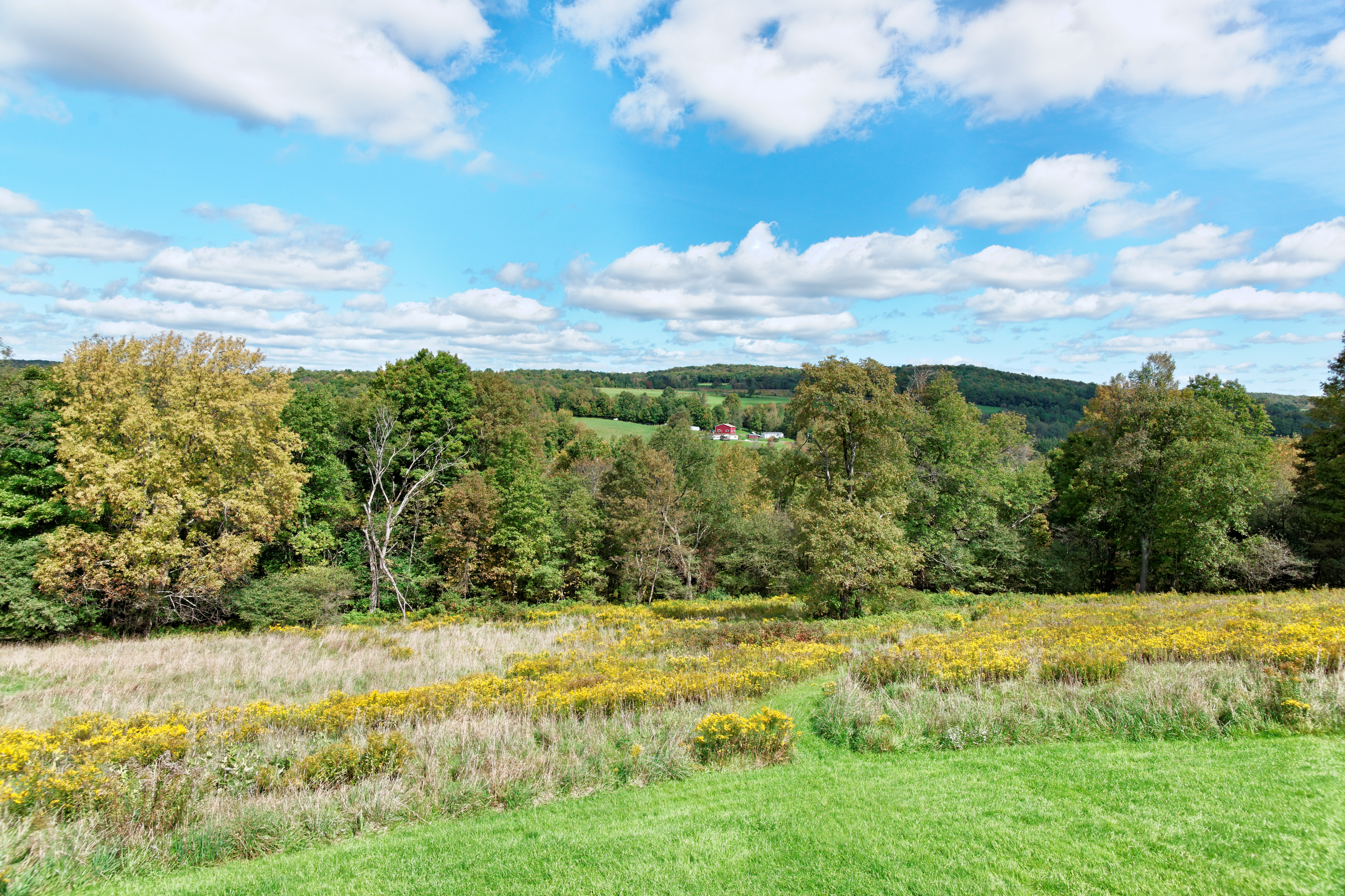
barn and landscape NY
View from the cabin porch

Grand Gorge, NY 20031014 076 view from New York State Route 30

View from the Col on Plattekill Mountain

Grand Gorge, NY 20031014 075 view from New York State Route 30

Still There After 10 Years 3

Time for take off...

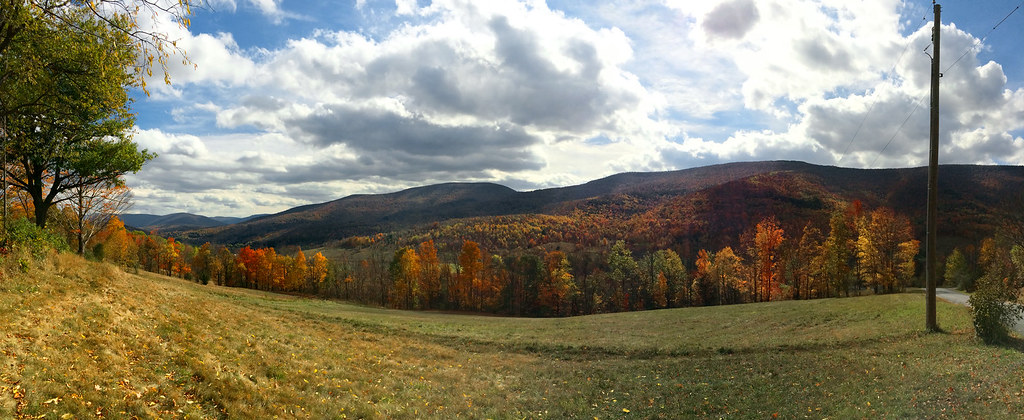
Triple View Farm

A view of the beautiful Catskills from the top of the Face at Ski Plattekill!!!
It's up there...

View from Middle Landing
Catskills Panorama
Moresville Range
Greene County

top o' the hill
Churchill Mountain and It's Col
Schoharie Creek

IMAG0391.jpg

Over Yonder
One of my older ones
Rolling Hills in Delaware County
Mt Utsayantha
Bovina Mountains in the Distance
DSC01809_DxO.jpg

DSC_0084.JPG

I'm not alone
DSC_0080.JPG

Mount U Back

IMAG0390.jpg
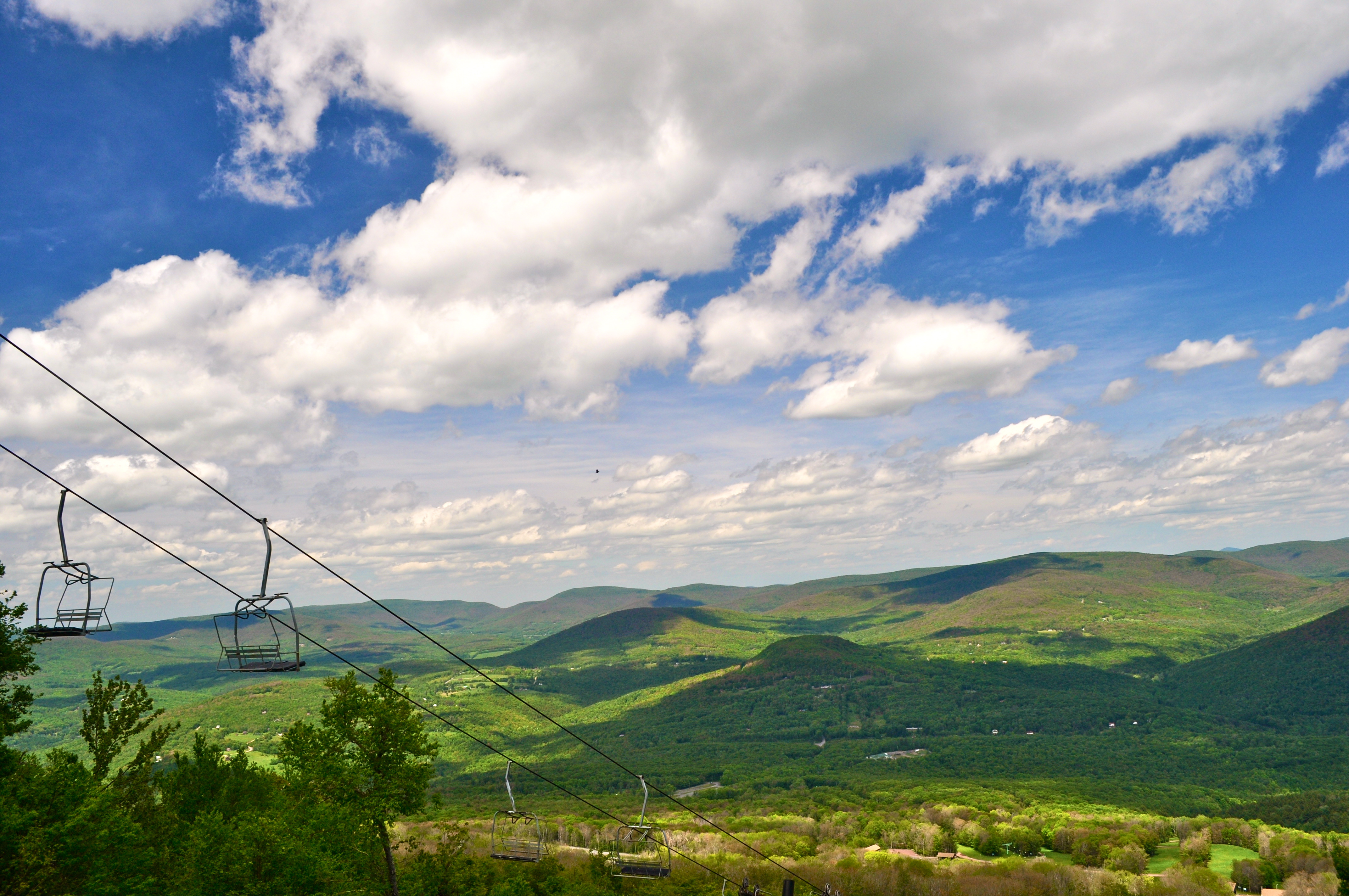
Skiing in the Spring
.
Topographic Map of Co Rd 41, Roxbury, NY, USA
Find elevation by address:

Places near Co Rd 41, Roxbury, NY, USA:
Lake Street
53870 Ny-30
978 Scott Greene Rd
Roxbury
126 Montgomery Hollow Rd
Roxbury
626 Lords Ln
144 Raeder Rd
New York 30
161 N Montgomery Hollow Rd
2727 Vega Mountain Rd
351 Charles Morse Rd
Charles Morse Road
221 Morse Farm Rd
130 Pines Dr
Andrew Gray Rd, Roxbury, NY, USA
Ploutz Road
82 Roxi Ln
339 Pleasant Valley Rd
Dugan Hill Road
Recent Searches:
- Elevation of Elwyn Dr, Roanoke Rapids, NC, USA
- Elevation of Congressional Dr, Stevensville, MD, USA
- Elevation of Bellview Rd, McLean, VA, USA
- Elevation of Stage Island Rd, Chatham, MA, USA
- Elevation of Shibuya Scramble Crossing, 21 Udagawacho, Shibuya City, Tokyo -, Japan
- Elevation of Jadagoniai, Kaunas District Municipality, Lithuania
- Elevation of Pagonija rock, Kranto 7-oji g. 8"N, Kaunas, Lithuania
- Elevation of Co Rd 87, Jamestown, CO, USA
- Elevation of Tenjo, Cundinamarca, Colombia
- Elevation of Côte-des-Neiges, Montreal, QC H4A 3J6, Canada