Elevation of Montgomery Hollow Rd, Roxbury, NY, USA
Location: United States > New York > Delaware County > Roxbury >
Longitude: -74.553412
Latitude: 42.298899
Elevation: -10000m / -32808feet
Barometric Pressure: 295KPa
Elevation Map:
Satellite Map:
Related Photos:
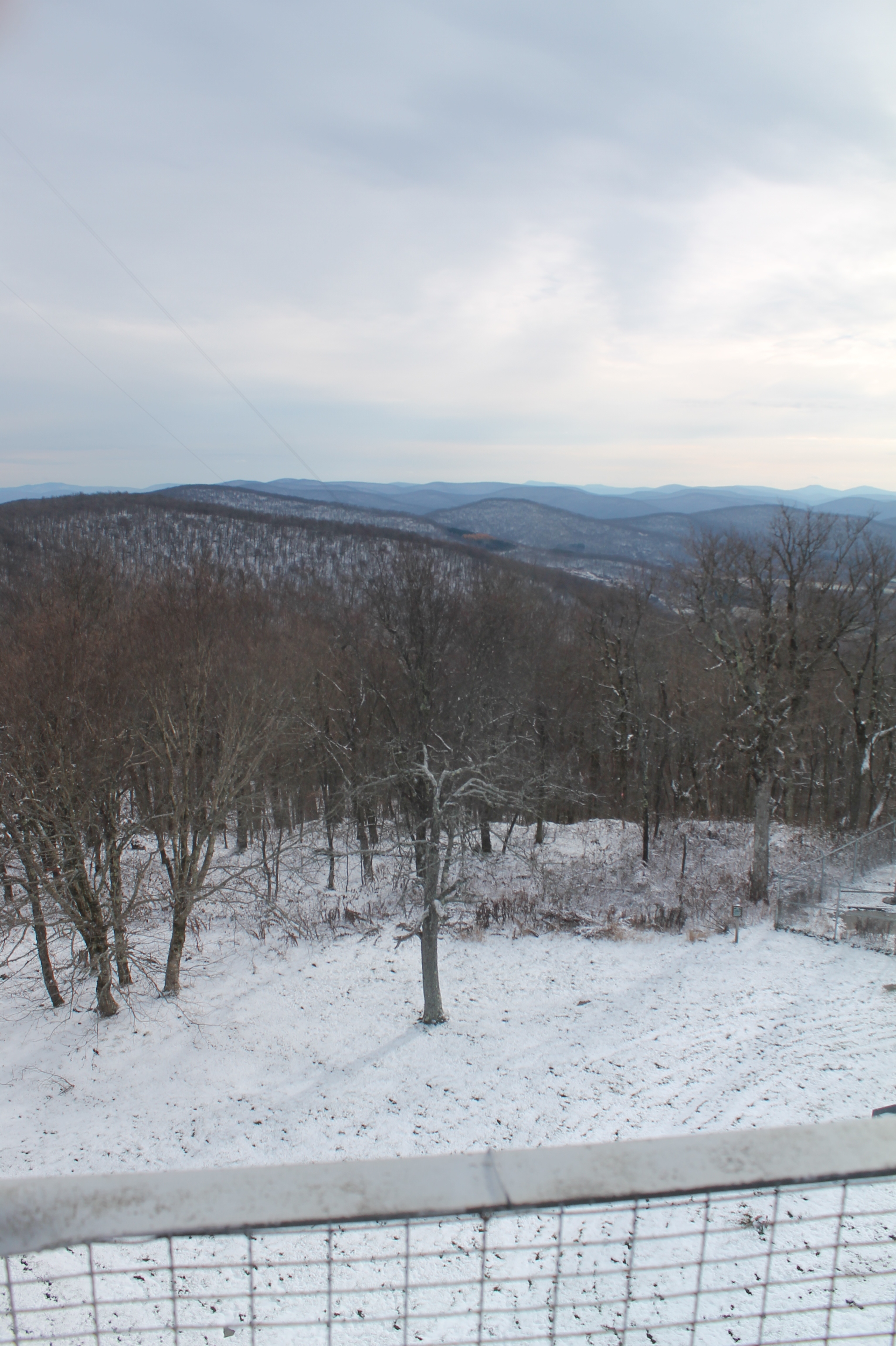
cst-hills
View of Gorge Walls

Little Known View of Mine Kill Falls

Still There After 10 Years 3

Window view through curtain.

Minekill Falls

View from the cabin porch

View North (Schoharie Res)

On Mount Utsayantha

Mount Utsayantha

barn and landscape NY

Triple View Farm

Time for take off...

View From Burroughs Grave Site
Grand Gorge, NY 20031014 076 view from New York State Route 30

Grand Gorge, NY 20031014 075 view from New York State Route 30
View from the Col on Plattekill Mountain

The Other Side Of The Road

A view of the beautiful Catskills from the top of the Face at Ski Plattekill!!!
View from Middle Landing

April 10 (100/365)

Catskills Panorama

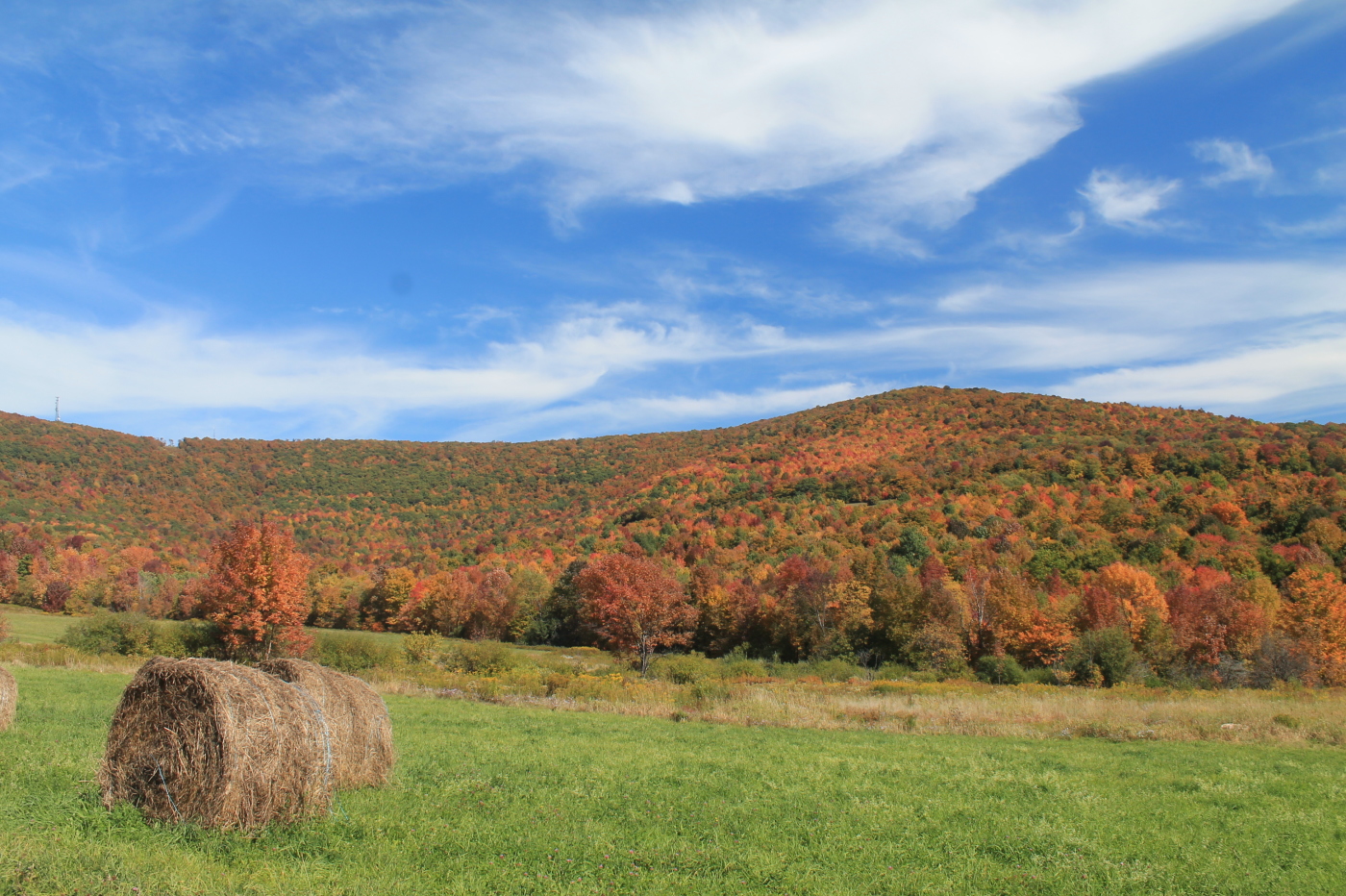
Rolling Hills in Delaware County
Moresville Range

Mt Utsayantha

Swimmer Below Lower Falls
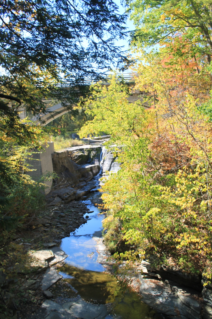
Bridge Over Mine Kill Falls

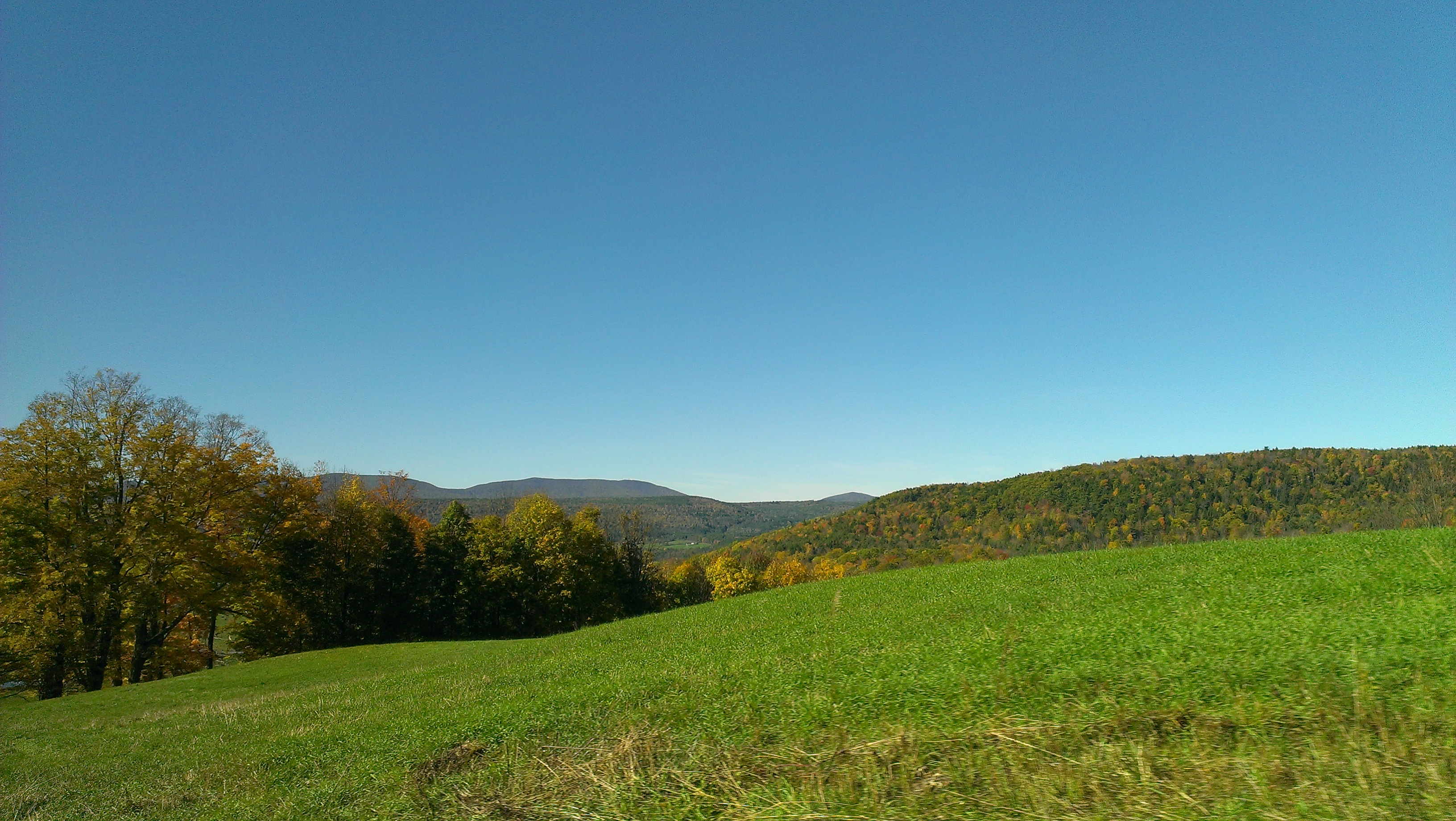
Over Yonder

IMAG0391.jpg

Skiing in the Spring

Greene County
IMAG0390.jpg

top o' the hill

Last summer run

Mine Kill Falls

Irene was here

DSC_0080.JPG

DSC_0083.JPG
Topographic Map of Montgomery Hollow Rd, Roxbury, NY, USA
Find elevation by address:

Places near Montgomery Hollow Rd, Roxbury, NY, USA:
Roxbury
New York 30
144 Raeder Rd
161 N Montgomery Hollow Rd
53870 Ny-30
Lake Street
Roxbury
Co Rd 41, Roxbury, NY, USA
339 Pleasant Valley Rd
978 Scott Greene Rd
Dugan Hill Road
1800 Dugan Hill Rd
Ploutz Road
626 Lords Ln
2727 Vega Mountain Rd
351 Charles Morse Rd
82 Roxi Ln
Charles Morse Road
221 Morse Farm Rd
Andrew Gray Rd, Roxbury, NY, USA
Recent Searches:
- Elevation of 6 Rue Jules Ferry, Beausoleil, France
- Elevation of Sattva Horizon, 4JC6+G9P, Vinayak Nagar, Kattigenahalli, Bengaluru, Karnataka, India
- Elevation of Great Brook Sports, Gold Star Hwy, Groton, CT, USA
- Elevation of 10 Mountain Laurels Dr, Nashua, NH, USA
- Elevation of 16 Gilboa Ln, Nashua, NH, USA
- Elevation of Laurel Rd, Townsend, TN, USA
- Elevation of 3 Nestling Wood Dr, Long Valley, NJ, USA
- Elevation of Ilungu, Tanzania
- Elevation of Yellow Springs Road, Yellow Springs Rd, Chester Springs, PA, USA
- Elevation of Rēzekne Municipality, Latvia