Elevation of Rosehill Dr, Erwinville, LA, USA
Location: United States > Louisiana > West Baton Rouge Parish > >
Longitude: -91.321710
Latitude: 30.5659782
Elevation: 8m / 26feet
Barometric Pressure: 101KPa
Elevation Map:
Satellite Map:
Related Photos:

dark view
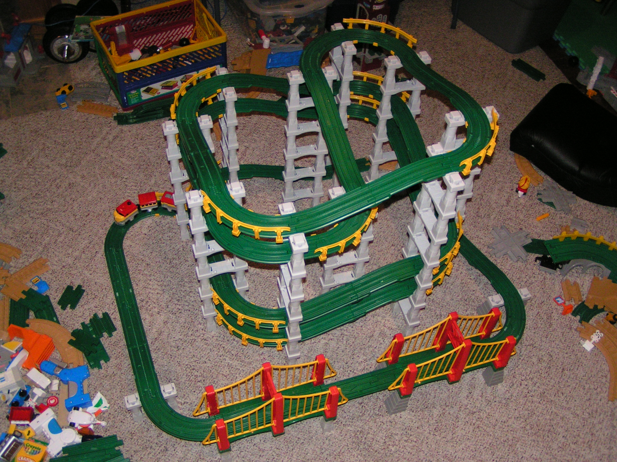
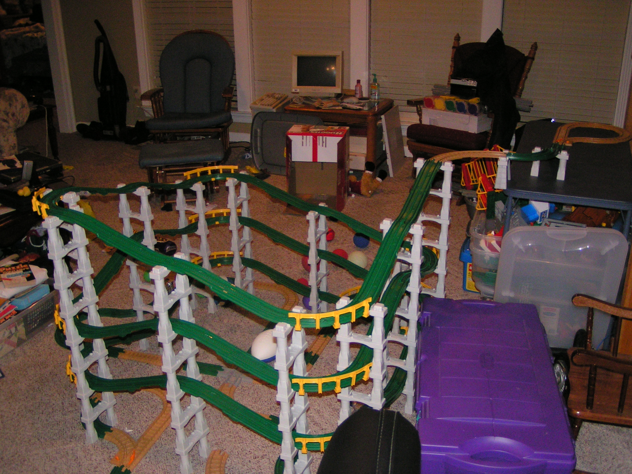
Double Helixish GeoCreation View 3
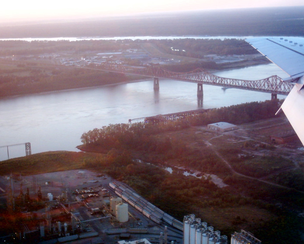
Old Baton Rouge Bridge 2

Eyes of the Tiger
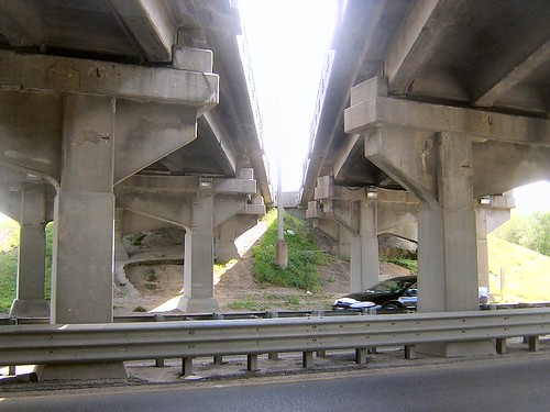
Airline Highway Bridge from Below
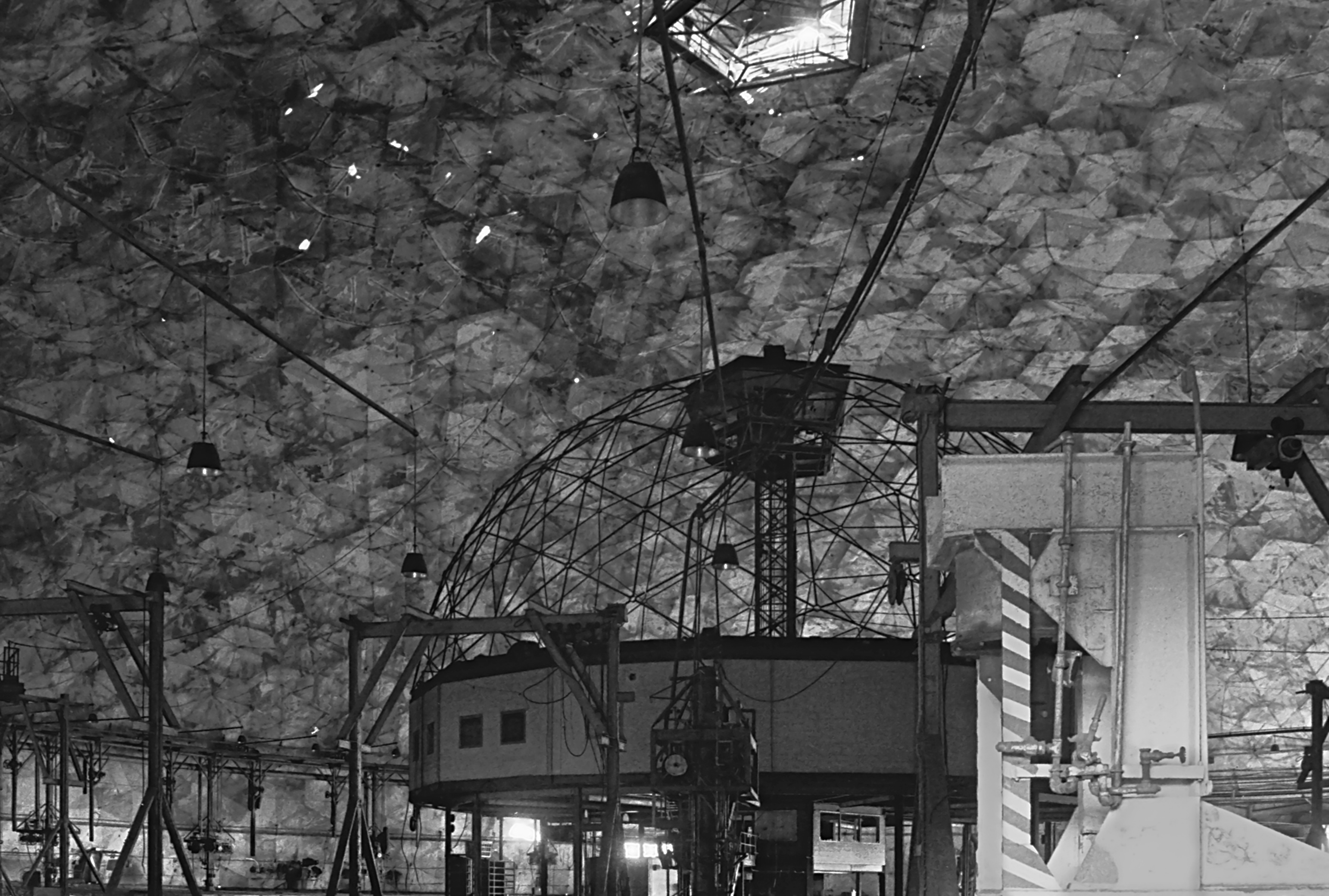
Union Tank Car Geodesic Dome Interior 2

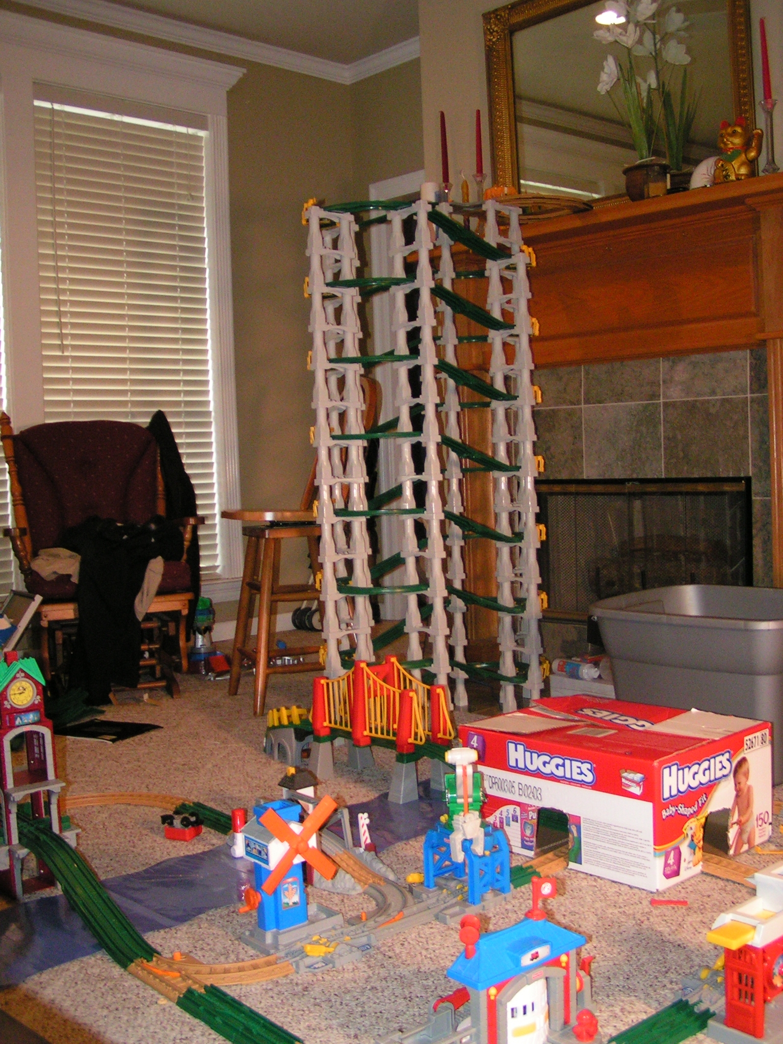
GeoTrax Tower Alt View

GeoTrax View 1 HDR
New Heights... View 1

Huey P. Long Bridge
Triple Decker Bridge Front Side View
New Heights... View 4

GeoTrax View 1 Normal
Geo City View 1
New Heights... View 3

GeoTrax 2 NON-HDR
Riding the Stationary Rails
Recent Geotrax setup... view 2

Double Helixish GeoCreation View 2

Louisiana Sunset
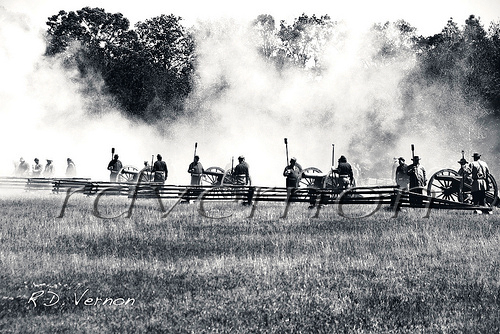
Confederate Artillery

Prairie Dog

it was waiting for me...

on the bank of the Mississippi

DECEMBER FIELD

fading history
Oh, Barn
False River
along the River Road
Park 3

0552-Port Hudson Area
Port Hudson Woods, Louisiana.

lean-flight-11-19-2015-8487
lean-flight-11-19-2015-8524
lean-flight-11-19-2015-8545

cane's cane
Mississippi River at Southern University
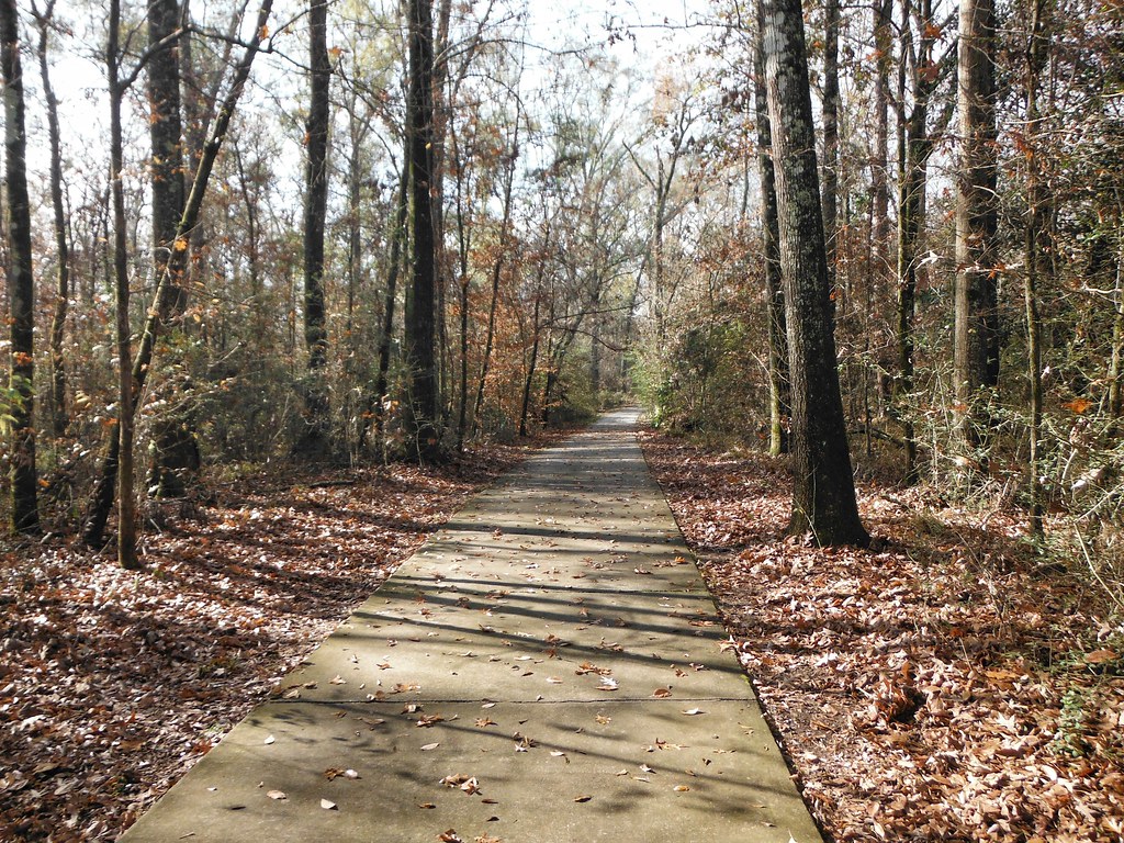
The Trail at Port Hudson, La.
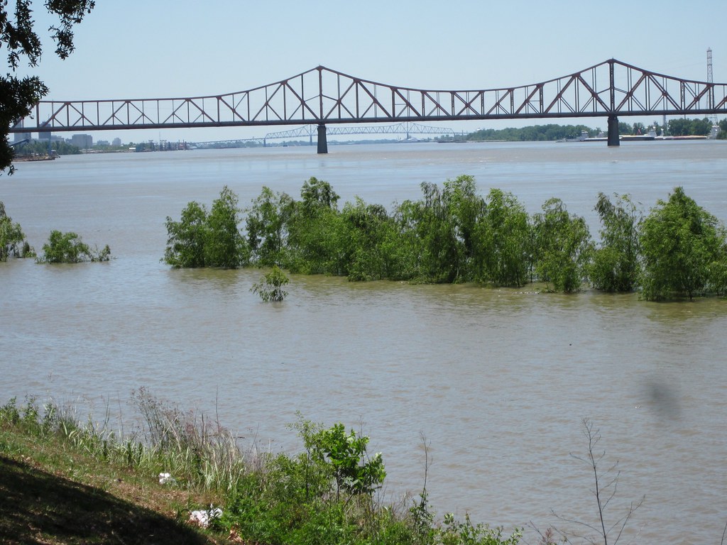
Mississippi River at Southern University

still standing
Topographic Map of Rosehill Dr, Erwinville, LA, USA
Find elevation by address:

Places near Rosehill Dr, Erwinville, LA, USA:
6738 Bueche Rd
Bueche Rd, Erwinville, LA, USA
7214 Us-190
7, LA, USA
12266 Landry Ln
West Baton Rouge Parish
Parish Governing Authority District 8
Rosedale Road
726 W Lake Dr
4811 Rebelle Ln
737 Brantford Dr
Old Rafe Meyer Rd, Baton Rouge, LA, USA
Southern University And A&m College
516 W Magnolia Dr
F.g Clark Activity Center
Ray Weiland Dr, Baker, LA, USA
16-998 La-1
1240 Court St
2, LA, USA
3517 Grant St
Recent Searches:
- Elevation of Bydgoszcz, Poland
- Elevation of Bydgoszcz, Poland
- Elevation of Calais Dr, Del Mar, CA, USA
- Elevation of Placer Mine Ln, West Jordan, UT, USA
- Elevation of E 63rd St, New York, NY, USA
- Elevation of Elk City, OK, USA
- Elevation of Erika Dr, Windsor, CA, USA
- Elevation of Village Ln, Finleyville, PA, USA
- Elevation of 24 Oakland Rd #, Scotland, ON N0E 1R0, Canada
- Elevation of Deep Gap Farm Rd E, Mill Spring, NC, USA