Elevation of Landry Ln, Port Allen, LA, USA
Location: United States > Louisiana > West Baton Rouge Parish > > Port Allen >
Longitude: -91.401753
Latitude: 30.5478007
Elevation: 7m / 23feet
Barometric Pressure: 101KPa
Elevation Map:
Satellite Map:
Related Photos:
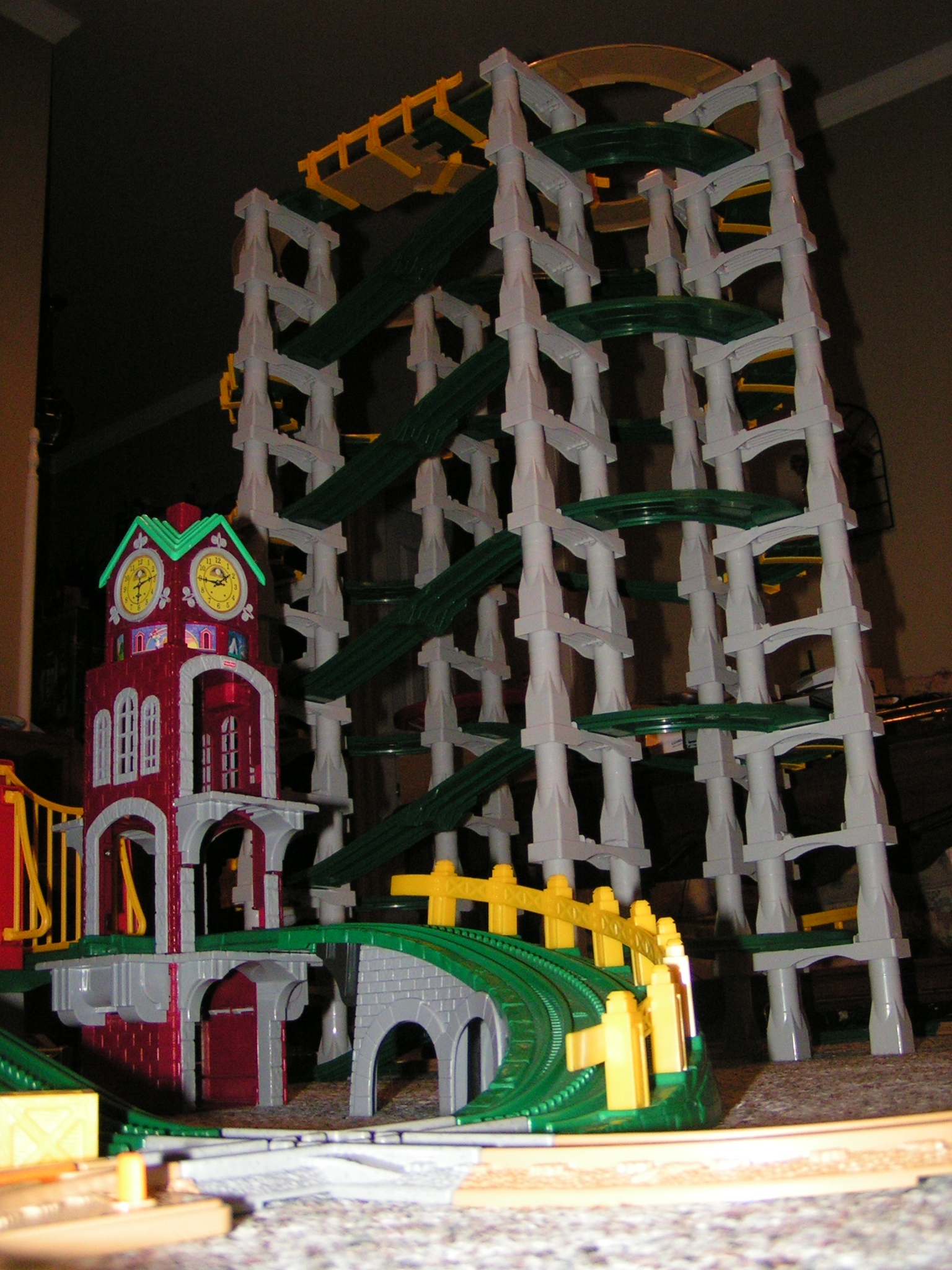
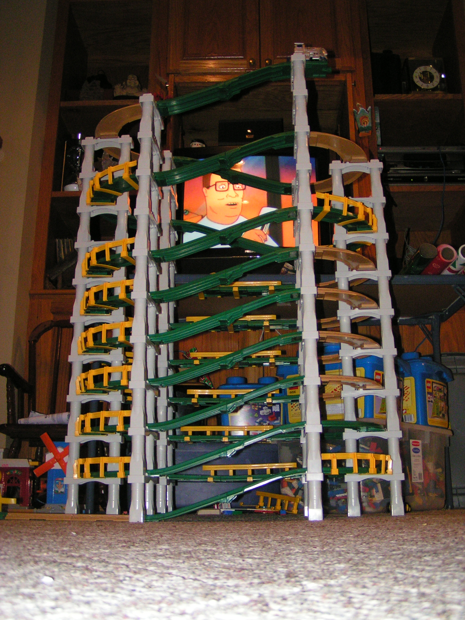
GeoTrax Tower Alt View
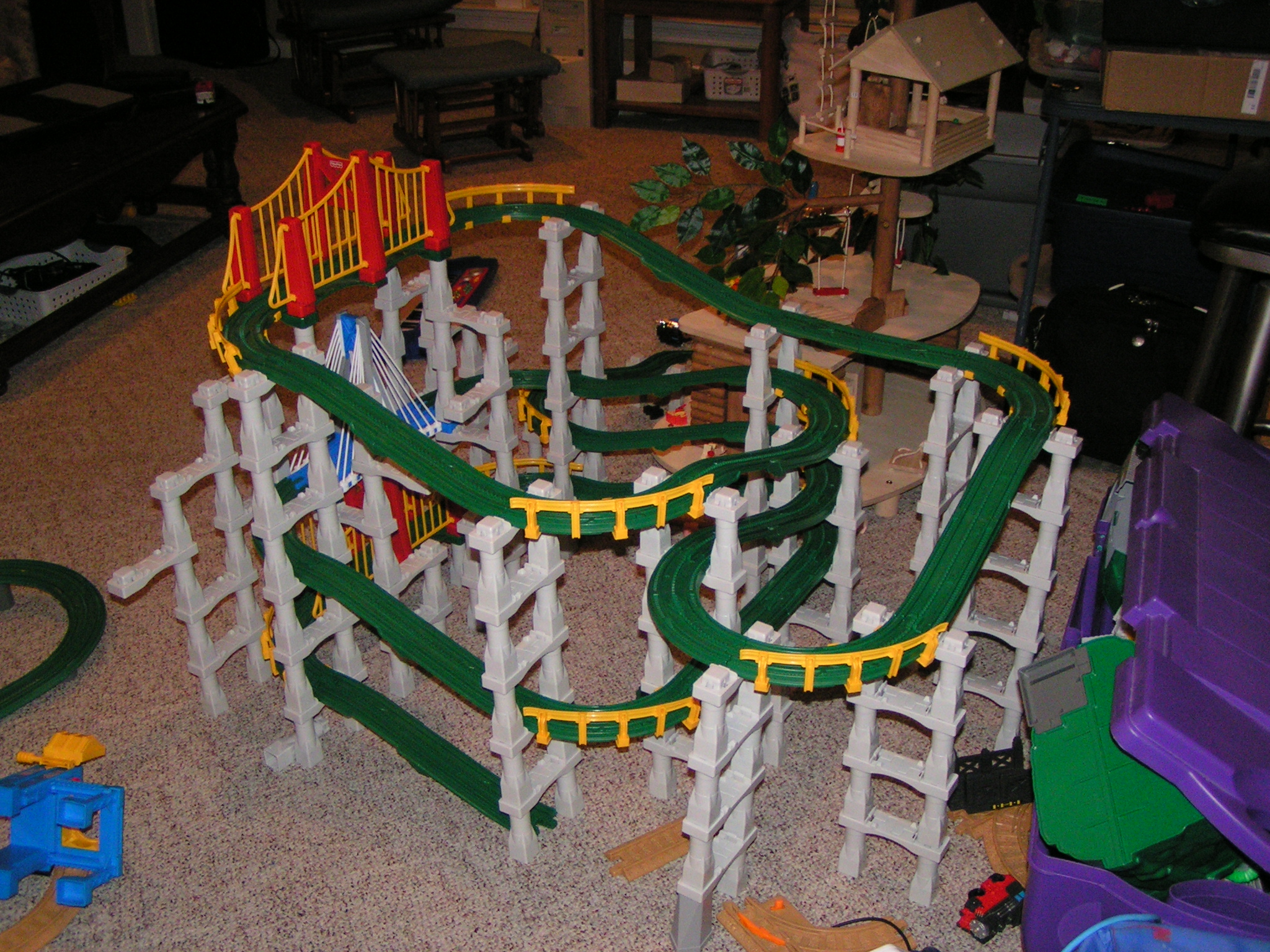
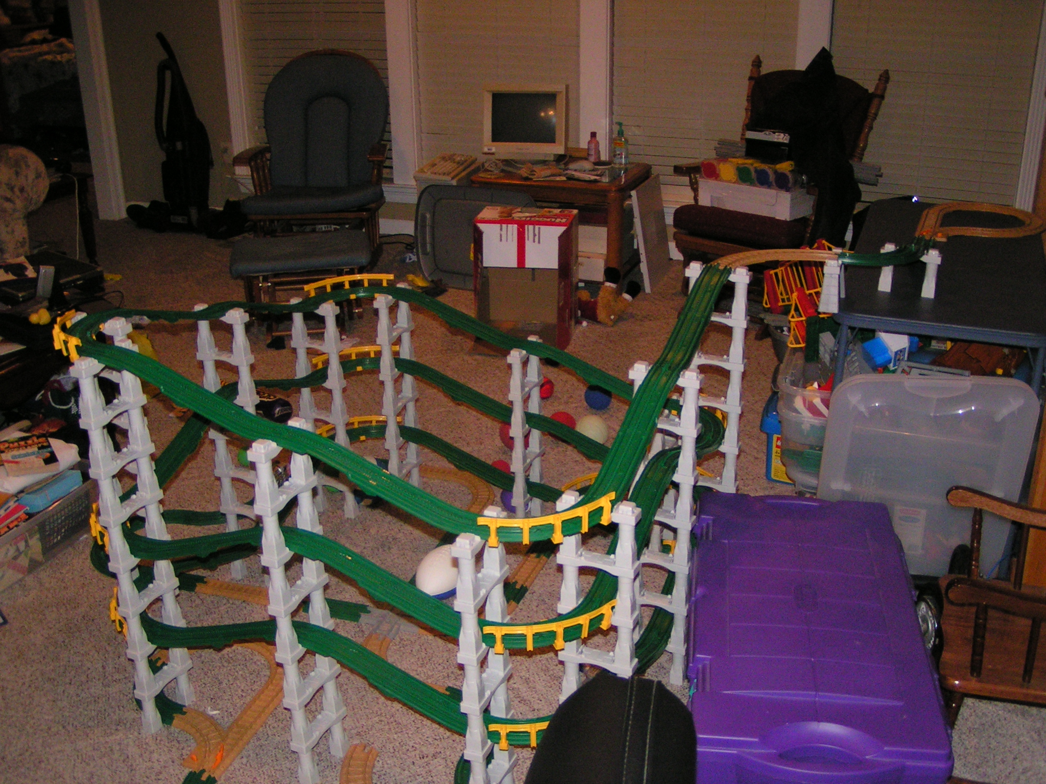
Triple Decker Bridge Back View
New Heights... View 1
New Heights... View 4
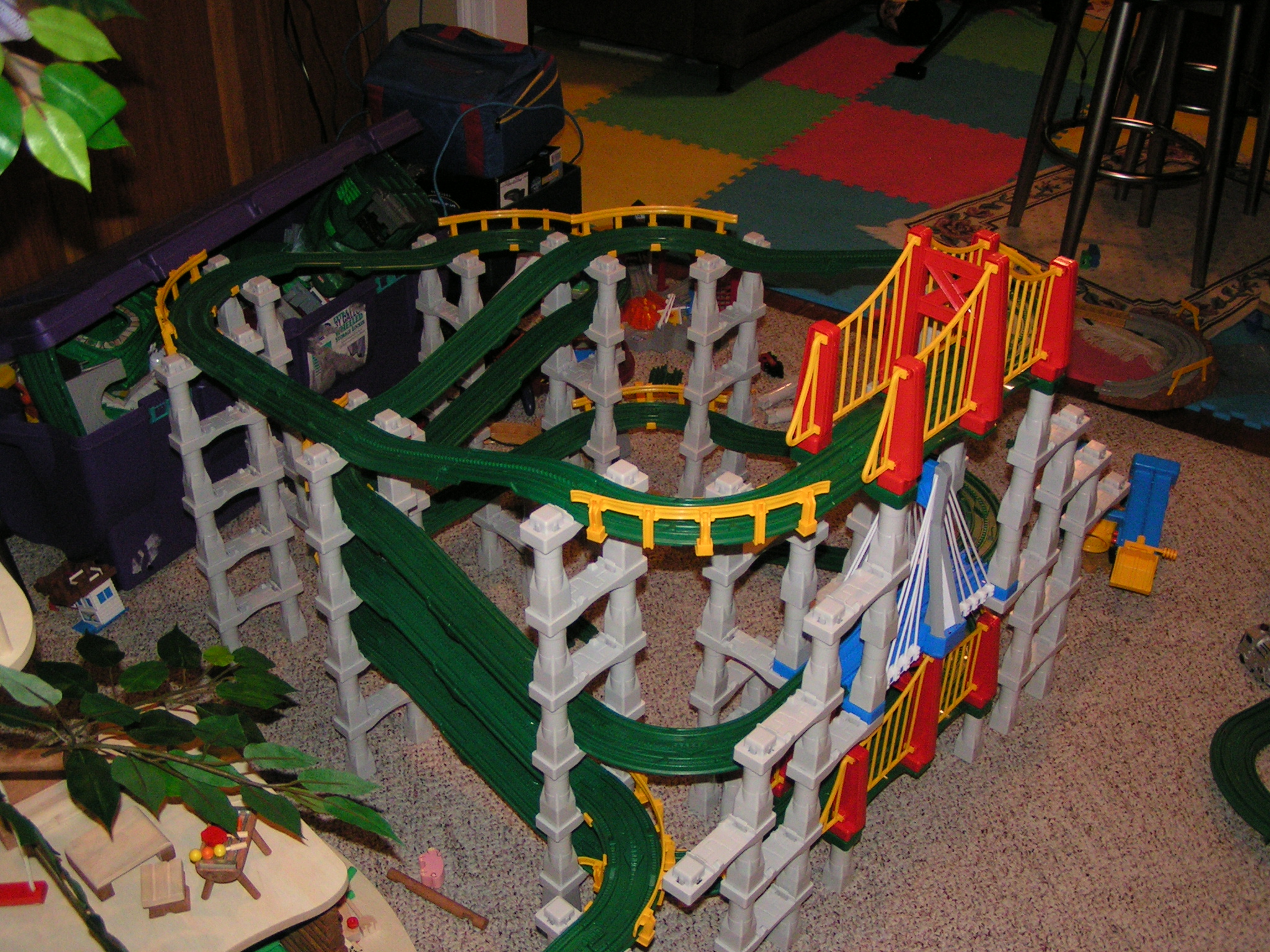
Triple Decker Bridge Front Side View
Recent Geotrax setup... view 2
dark view
GeoTower View 2

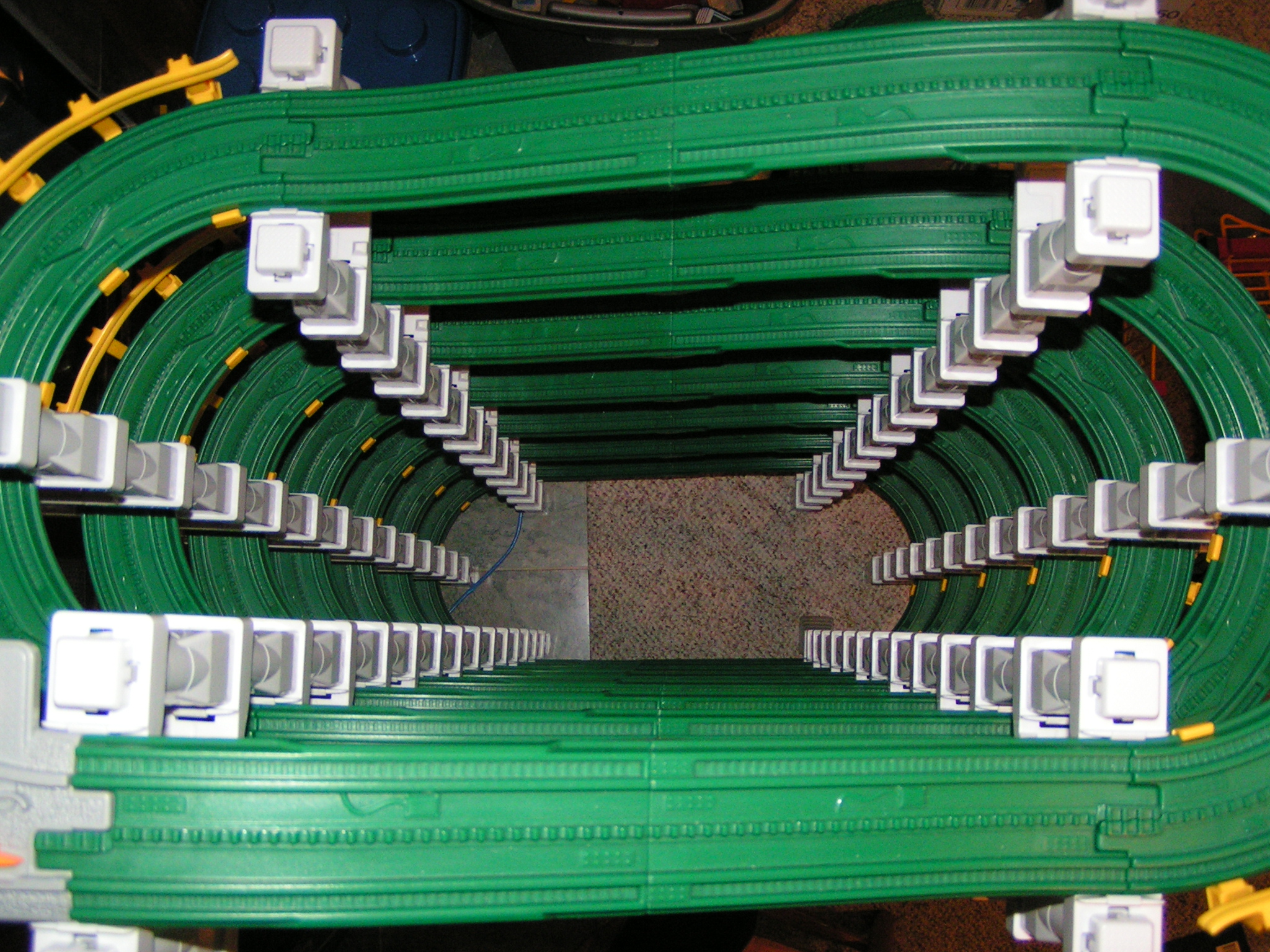
GeoTrax View 1 HDR

GeoTrax 2 NON-HDR

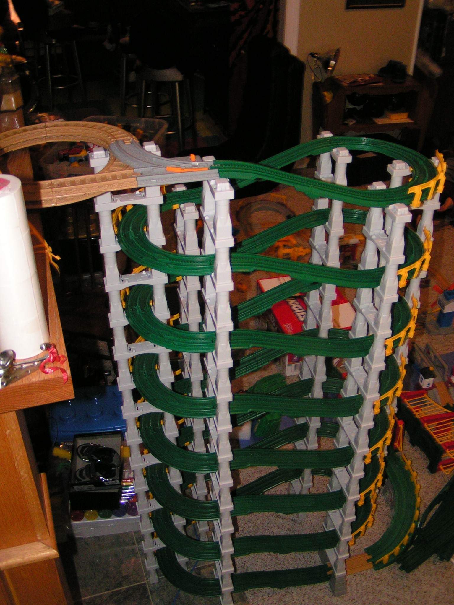
Double Helixish GeoCreation View 2

Five Story Clocktower View 2

Step 7

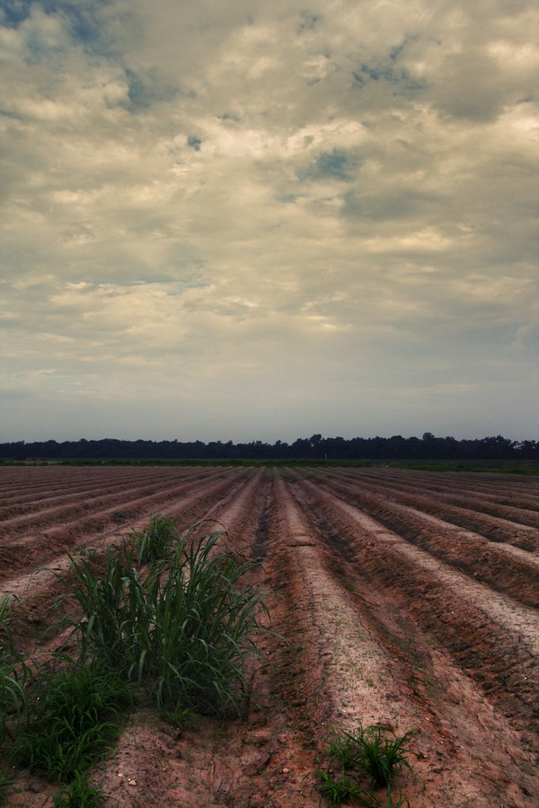
DECEMBER FIELD

fading history

W of Carey
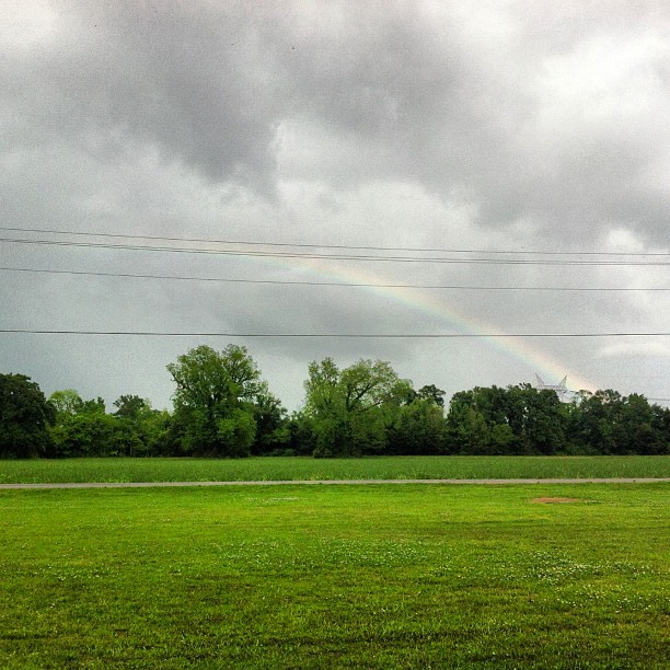
Can you see the #rainbow?? #outside #cloudy #sky #green #trees #louisiana
W of Carey
Cash's Crawfish W of Carey
Parlange 1
resting the fields
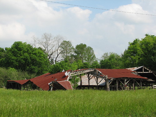
Oh, Barn
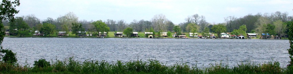
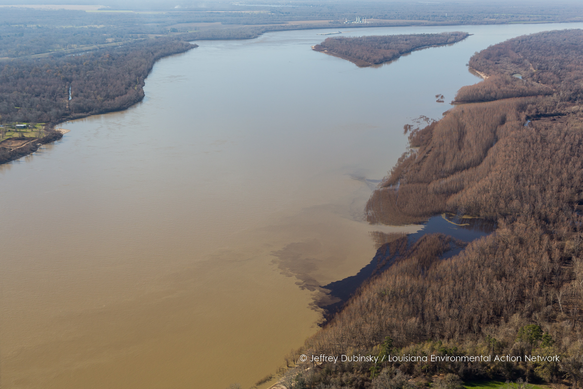
False River
along the River Road

The Road Home on Christmas
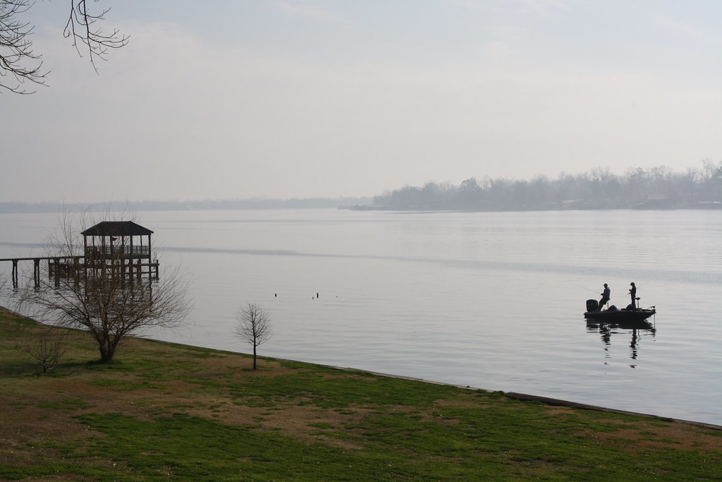
Fishing 1
lean-flight-11-19-2015-8524
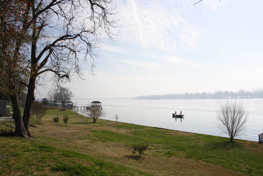
Fishing 3
W of Carey
cane's cane

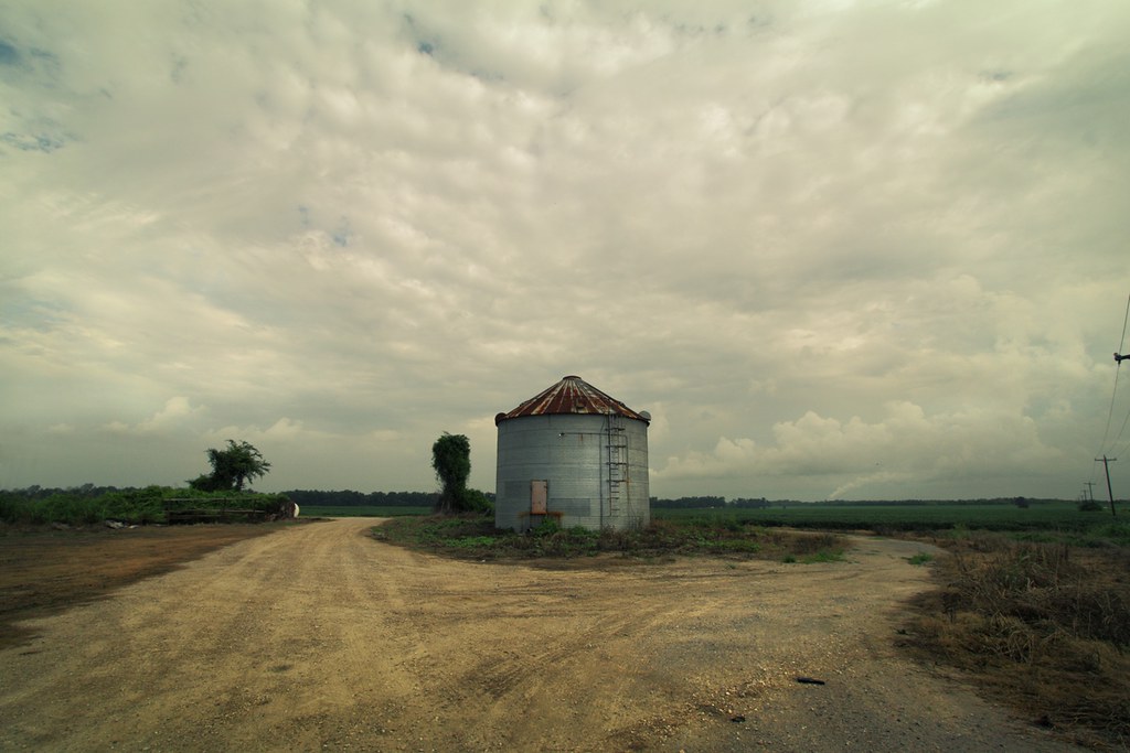
still standing
050907_poweredParachute_33.JPG
050907_poweredParachute_21.JPG
Fields of Green
Topographic Map of Landry Ln, Port Allen, LA, USA
Find elevation by address:

Places near Landry Ln, Port Allen, LA, USA:
Parish Governing Authority District 8
Bueche Rd, Erwinville, LA, USA
6738 Bueche Rd
Rosehill Dr, Erwinville, LA, USA
7214 Us-190
West Baton Rouge Parish
7, LA, USA
Rosedale Road
726 W Lake Dr
4811 Rebelle Ln
737 Brantford Dr
Old Rafe Meyer Rd, Baton Rouge, LA, USA
4, LA, USA
1240 Court St
Southern University And A&m College
16-998 La-1
Petrin Corporation
2512 Riverside Dr
1042 Ave G
2422 Riverside Dr
Recent Searches:
- Elevation of Bydgoszcz, Poland
- Elevation of Bydgoszcz, Poland
- Elevation of Calais Dr, Del Mar, CA, USA
- Elevation of Placer Mine Ln, West Jordan, UT, USA
- Elevation of E 63rd St, New York, NY, USA
- Elevation of Elk City, OK, USA
- Elevation of Erika Dr, Windsor, CA, USA
- Elevation of Village Ln, Finleyville, PA, USA
- Elevation of 24 Oakland Rd #, Scotland, ON N0E 1R0, Canada
- Elevation of Deep Gap Farm Rd E, Mill Spring, NC, USA