Elevation of Bueche Rd, Erwinville, LA, USA
Location: United States > Louisiana > West Baton Rouge Parish > >
Longitude: -91.339447
Latitude: 30.5649658
Elevation: 8m / 26feet
Barometric Pressure: 101KPa
Elevation Map:
Satellite Map:
Related Photos:
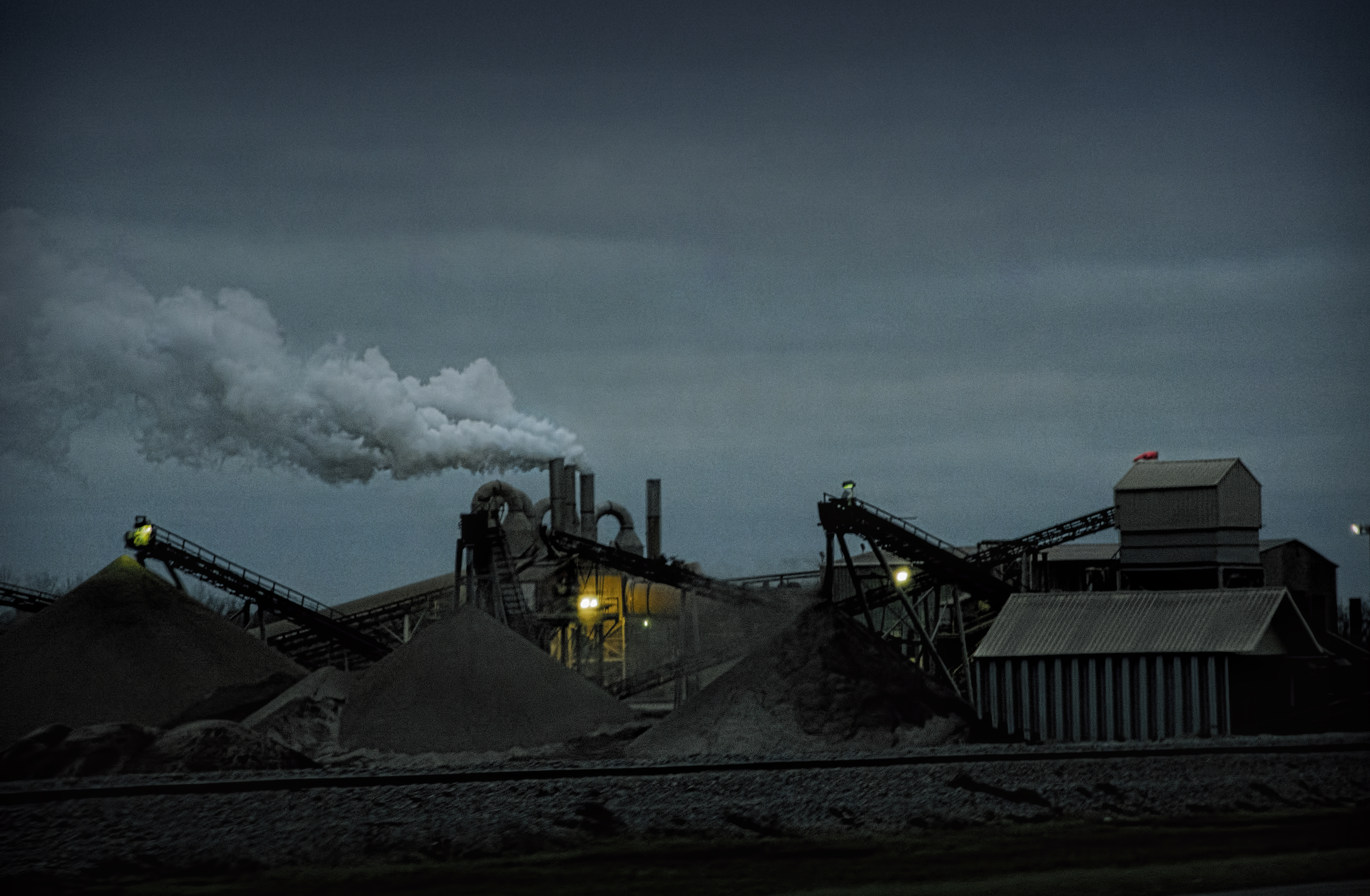
dark view

GeoTower View 2

Union Tank Car Geodesic Dome Interior 2

Recent Geotrax setup... view 2

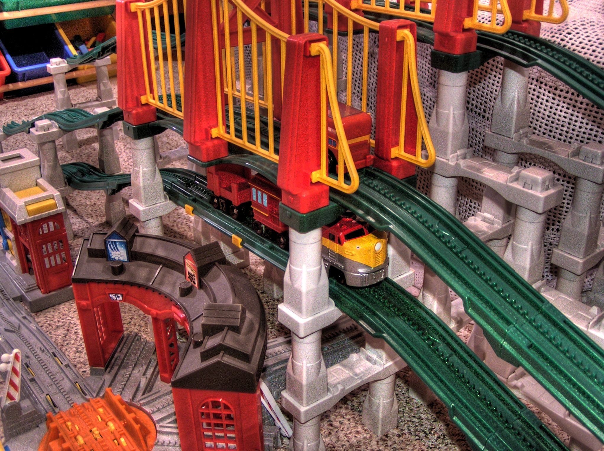
Triple Decker Bridge Back View

New Heights... View 1
GeoTrax View 1 HDR

Triple Decker Bridge Front Side View

Geo City View 1

Old Baton Rouge Bridge 2

New Heights... View 3

GeoTrax Tower Alt View

Double Helixish GeoCreation View 3

New Heights... View 4

Five Story Clocktower View 2

Old Baton Rouge Bridge 1

GeoTrax View 1 Normal

GeoTrax 2 NON-HDR

Double Helixish GeoCreation View 2

Geo City View 2

The View Upstream

it was waiting for me...

fading history

on the bank of the Mississippi

looking north from Scott's Bluff

along the River Road

Flight to Florida

river's edge

Louisiana sugarcane field

Confederate Artillery

resting the fields

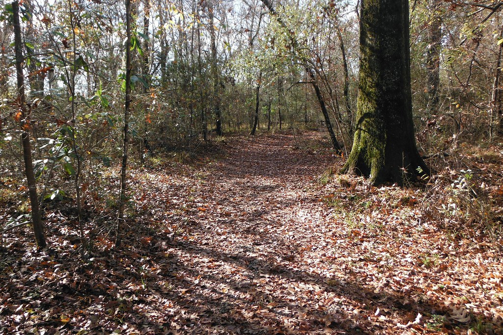
DECEMBER FIELD

False River (east end)

Parlange 1

EBR landfill
Port Hudson Woods, Louisiana.

Outside the Fences

Devil's Swamp 3

False River

Mississippi River at Southern University

louisiana-flood-flight-0052
Topographic Map of Bueche Rd, Erwinville, LA, USA
Find elevation by address:

Places near Bueche Rd, Erwinville, LA, USA:
Bueche Rd, Erwinville, LA, USA
Rosehill Dr, Erwinville, LA, USA
7214 Us-190
12266 Landry Ln
7, LA, USA
Parish Governing Authority District 8
West Baton Rouge Parish
Rosedale Road
726 W Lake Dr
4811 Rebelle Ln
737 Brantford Dr
Old Rafe Meyer Rd, Baton Rouge, LA, USA
Southern University And A&m College
516 W Magnolia Dr
F.g Clark Activity Center
Ray Weiland Dr, Baker, LA, USA
16-998 La-1
1240 Court St
Petrin Corporation
1042 Ave G
Recent Searches:
- Elevation of Bydgoszcz, Poland
- Elevation of Bydgoszcz, Poland
- Elevation of Calais Dr, Del Mar, CA, USA
- Elevation of Placer Mine Ln, West Jordan, UT, USA
- Elevation of E 63rd St, New York, NY, USA
- Elevation of Elk City, OK, USA
- Elevation of Erika Dr, Windsor, CA, USA
- Elevation of Village Ln, Finleyville, PA, USA
- Elevation of 24 Oakland Rd #, Scotland, ON N0E 1R0, Canada
- Elevation of Deep Gap Farm Rd E, Mill Spring, NC, USA