Elevation of Riverdale St, Quinton, AL, USA
Location: United States > Alabama > Jefferson County > Quinton >
Longitude: -87.062622
Latitude: 33.643879
Elevation: 117m / 384feet
Barometric Pressure: 100KPa
Elevation Map:
Satellite Map:
Related Photos:
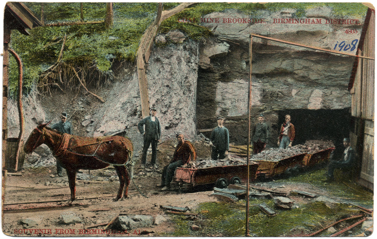
Coal Mine Brookside
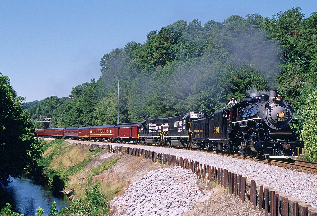
951 Eastbound
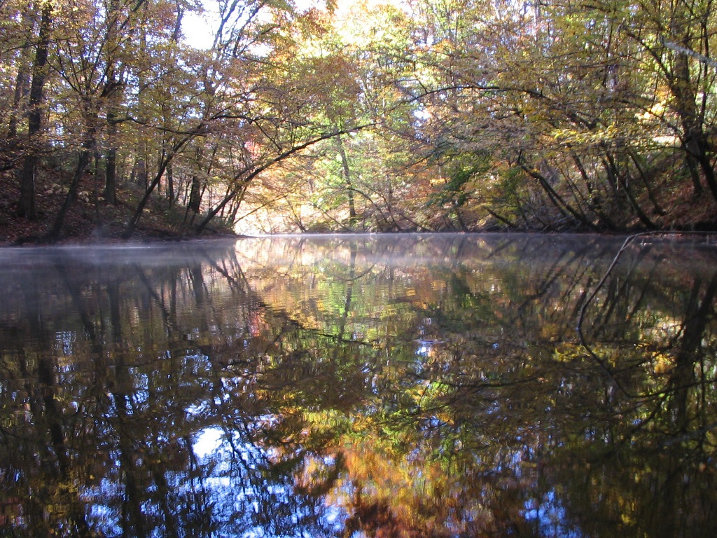
Fall Of '09 52
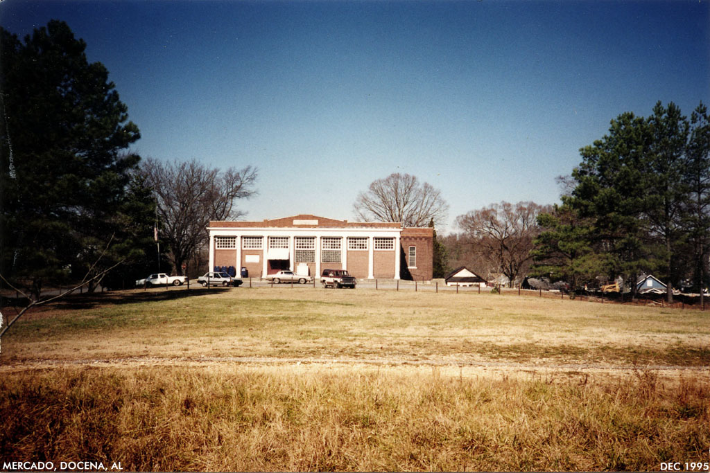
Docena mercado
american face dust

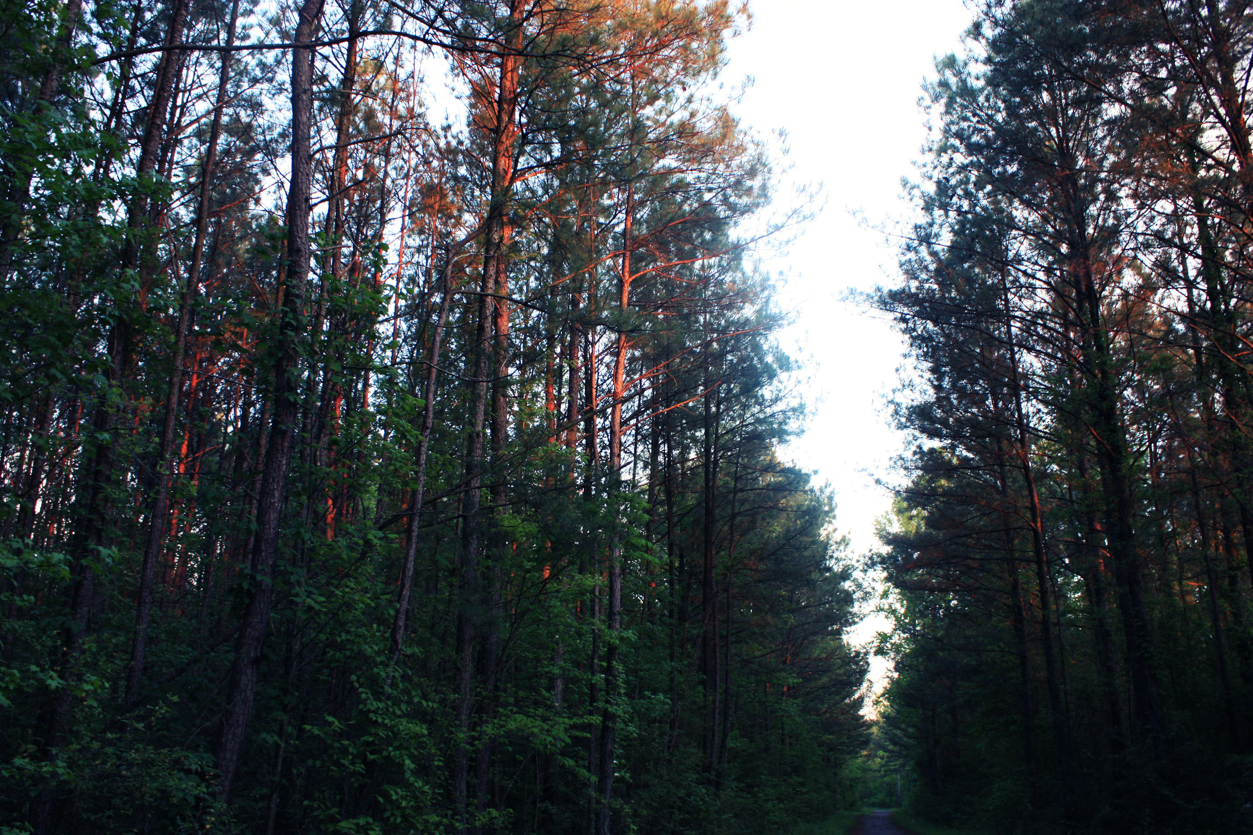
Rolling Hills
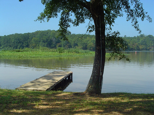
Pier at Howton's
Topographic Map of Riverdale St, Quinton, AL, USA
Find elevation by address:

Places near Riverdale St, Quinton, AL, USA:
Palos Cir, Quinton, AL, USA
Quinton
Woodruff Mill Rd, Adamsville, AL, USA
Twilly Loop, Quinton, AL, USA
Lacy Rd, Quinton, AL, USA
Kilgore Church Rd, Dora, AL, USA
Bryan Rd, Dora, AL, USA
River Front Dr, Cordova, AL, USA
1813 K D Byrd Station Rd
Kd Byrd Station
Glover Rd, Dora, AL, USA
Littleton Sayre Rd, Graysville, AL, USA
Black Camp Rd, Quinton, AL, USA
Dora
Graysville
8th Ave NE, Graysville, AL, USA
Hwy 78, Dora, AL, USA
Old Jasper Hwy, Graysville, AL, USA
Brents Cutoff, Dora, AL, USA
9th St SE, Graysville, AL, USA
Recent Searches:
- Elevation of Calais Dr, Del Mar, CA, USA
- Elevation of Placer Mine Ln, West Jordan, UT, USA
- Elevation of E 63rd St, New York, NY, USA
- Elevation of Elk City, OK, USA
- Elevation of Erika Dr, Windsor, CA, USA
- Elevation of Village Ln, Finleyville, PA, USA
- Elevation of 24 Oakland Rd #, Scotland, ON N0E 1R0, Canada
- Elevation of Deep Gap Farm Rd E, Mill Spring, NC, USA
- Elevation of Dog Leg Dr, Minden, NV, USA
- Elevation of Dog Leg Dr, Minden, NV, USA