Elevation of Twilly Loop, Quinton, AL, USA
Location: United States > Alabama > Jefferson County > Quinton >
Longitude: -87.086232
Latitude: 33.6630151
Elevation: 117m / 384feet
Barometric Pressure: 100KPa
Elevation Map:
Satellite Map:
Related Photos:
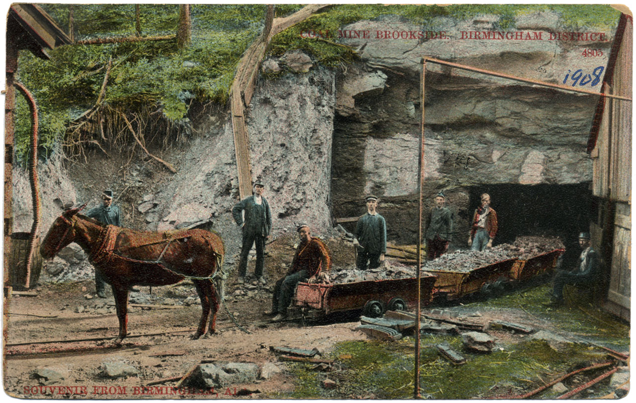
Coal Mine Brookside
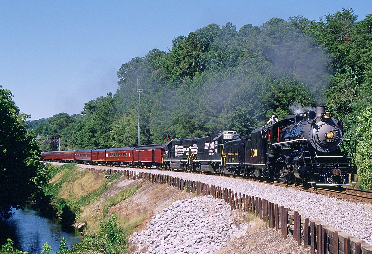
951 Eastbound

Cali Coast
Fall Of '09 52
IMG_1058_edited-1

NS Train 21R

american face dust

Rolling Hills
Pier at Howton's

Ethan Graduation 2012
Topographic Map of Twilly Loop, Quinton, AL, USA
Find elevation by address:

Places near Twilly Loop, Quinton, AL, USA:
Quinton
Riverdale St, Quinton, AL, USA
1813 K D Byrd Station Rd
Kd Byrd Station
River Front Dr, Cordova, AL, USA
Palos Cir, Quinton, AL, USA
Glover Rd, Dora, AL, USA
Bryan Rd, Dora, AL, USA
Lacy Rd, Quinton, AL, USA
Black Camp Rd, Quinton, AL, USA
Woodruff Mill Rd, Adamsville, AL, USA
Kilgore Church Rd, Dora, AL, USA
Dora
Littleton Sayre Rd, Graysville, AL, USA
Dovertown Rd, Cordova, AL, USA
Hwy 78, Dora, AL, USA
Brents Cutoff, Dora, AL, USA
Old Jasper Hwy, Graysville, AL, USA
Graysville
8th Ave NE, Graysville, AL, USA
Recent Searches:
- Elevation of Kambingan Sa Pansol Atbp., Purok 7 Pansol, Candaba, Pampanga, Philippines
- Elevation of Pinewood Dr, New Bern, NC, USA
- Elevation of Mountain View, CA, USA
- Elevation of Foligno, Province of Perugia, Italy
- Elevation of Blauwestad, Netherlands
- Elevation of Bella Terra Blvd, Estero, FL, USA
- Elevation of Estates Loop, Priest River, ID, USA
- Elevation of Woodland Oak Pl, Thousand Oaks, CA, USA
- Elevation of Brownsdale Rd, Renfrew, PA, USA
- Elevation of Corcoran Ln, Suffolk, VA, USA