Elevation of Hwy 78, Dora, AL, USA
Location: United States > Alabama > Walker County > Dora >
Longitude: -87.000606
Latitude: 33.723483
Elevation: 124m / 407feet
Barometric Pressure: 100KPa
Elevation Map:
Satellite Map:
Related Photos:
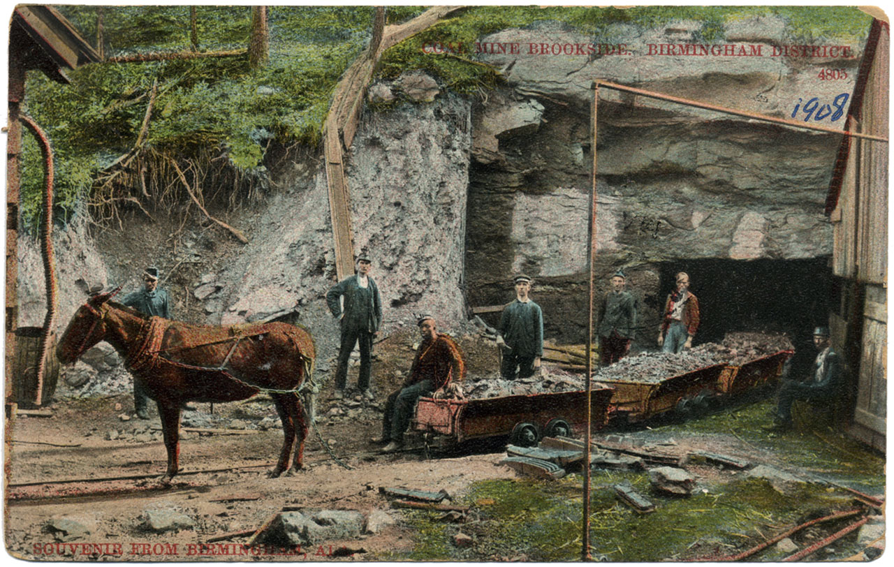
Coal Mine Brookside
951 Eastbound
Fall Of '09 52
IMG_1058_edited-1
Knob Mine Bucyrus Erie 1570 Walking Dragline

Knob Mine Bucyrus 1260 Dragline
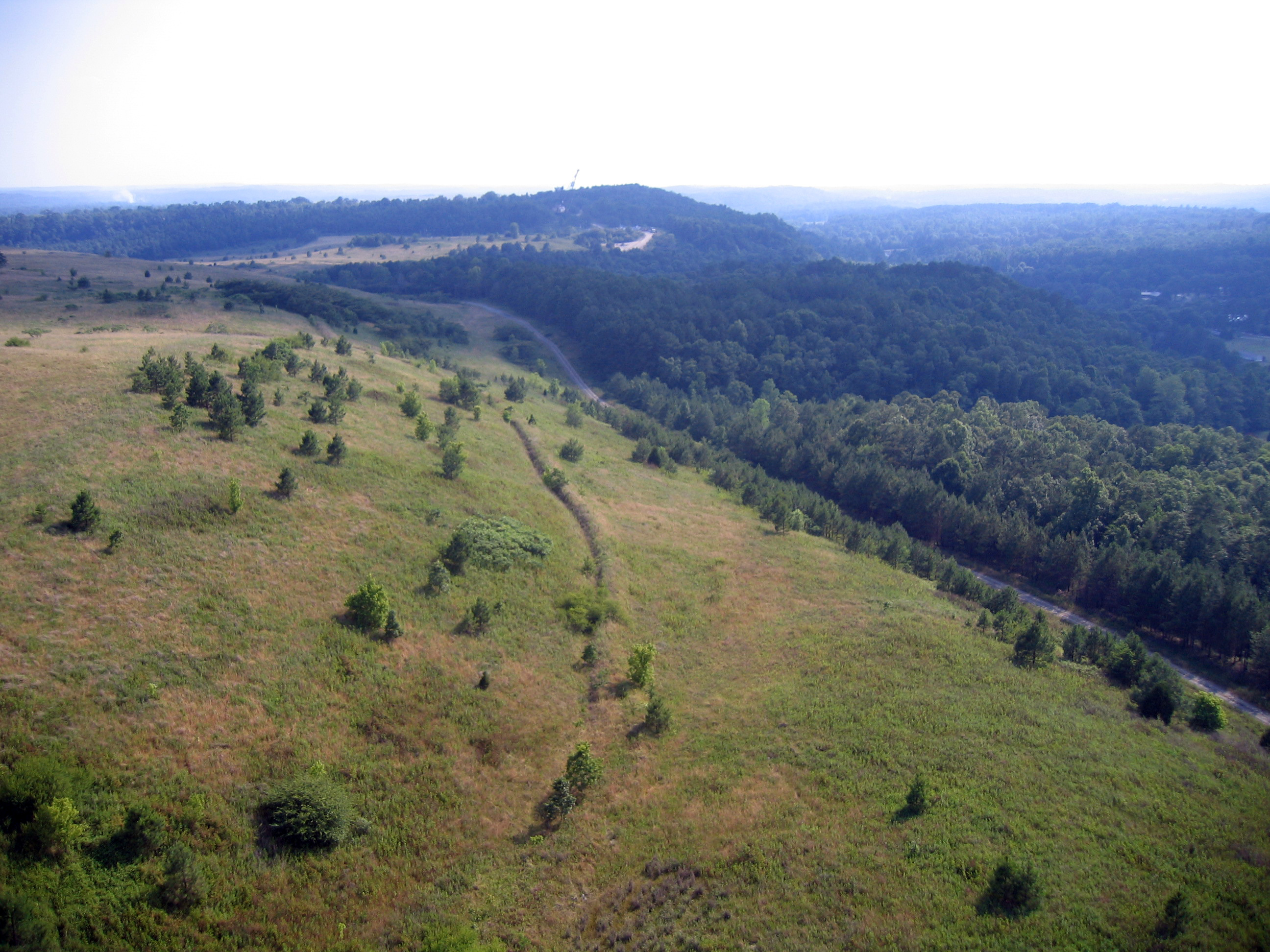
Rolling Hills

NS Train 173

Coal Motors at Palos

sometimes??? xXoOoXxes always!!! ???? #churchmarquee

first night out since surgery! #celebrate #corkandpork #julesbertavineyard #wine #lifeisgood #myview #mylifeinphotos #roadtrip #fun

Alabama, Adamsville Police Department 2

Alabama, Adamsville Police Department 1

Alabama, Adamsville Police Department 4

Two GEVOS

Water Jewel Aladdin doll

BNSF Trains

Work work work, whatcha workin wit!!!!!!
Driving home in Alabama

Alabama, Adamsville Police Department 3

Winters variations of grey

family 093
Topographic Map of Hwy 78, Dora, AL, USA
Find elevation by address:

Places near Hwy 78, Dora, AL, USA:
Brents Cutoff, Dora, AL, USA
7631 Forestwood Cir
8143 Bagley Rd
Littleton Sayre Rd, Graysville, AL, USA
Bryan Rd, Dora, AL, USA
Kilgore Church Rd, Dora, AL, USA
Old Jasper Hwy, Graysville, AL, USA
Glover Rd, Dora, AL, USA
Quinton
Dora
8th Ave NE, Graysville, AL, USA
Palos Cir, Quinton, AL, USA
Riverdale St, Quinton, AL, USA
Twilly Loop, Quinton, AL, USA
Graysville
Cherry Ave, Graysville, AL, USA
9th St SE, Graysville, AL, USA
7933 Ed Jones Rd
Cherry Ave, Graysville, AL, USA
Mt Olive, AL, USA
Recent Searches:
- Elevation of Kambingan Sa Pansol Atbp., Purok 7 Pansol, Candaba, Pampanga, Philippines
- Elevation of Pinewood Dr, New Bern, NC, USA
- Elevation of Mountain View, CA, USA
- Elevation of Foligno, Province of Perugia, Italy
- Elevation of Blauwestad, Netherlands
- Elevation of Bella Terra Blvd, Estero, FL, USA
- Elevation of Estates Loop, Priest River, ID, USA
- Elevation of Woodland Oak Pl, Thousand Oaks, CA, USA
- Elevation of Brownsdale Rd, Renfrew, PA, USA
- Elevation of Corcoran Ln, Suffolk, VA, USA