Elevation of River Rd, Astorville, ON P0H 1B0, Canada
Location: Canada > Ontario > Nipissing District > Astorville >
Longitude: -79.248566
Latitude: 46.155548
Elevation: 267m / 876feet
Barometric Pressure: 98KPa
Elevation Map:
Satellite Map:
Related Photos:

Nothing like having your morning coffee with this view #cottage #lake #Canada #beautiful
the view that stopped traffic
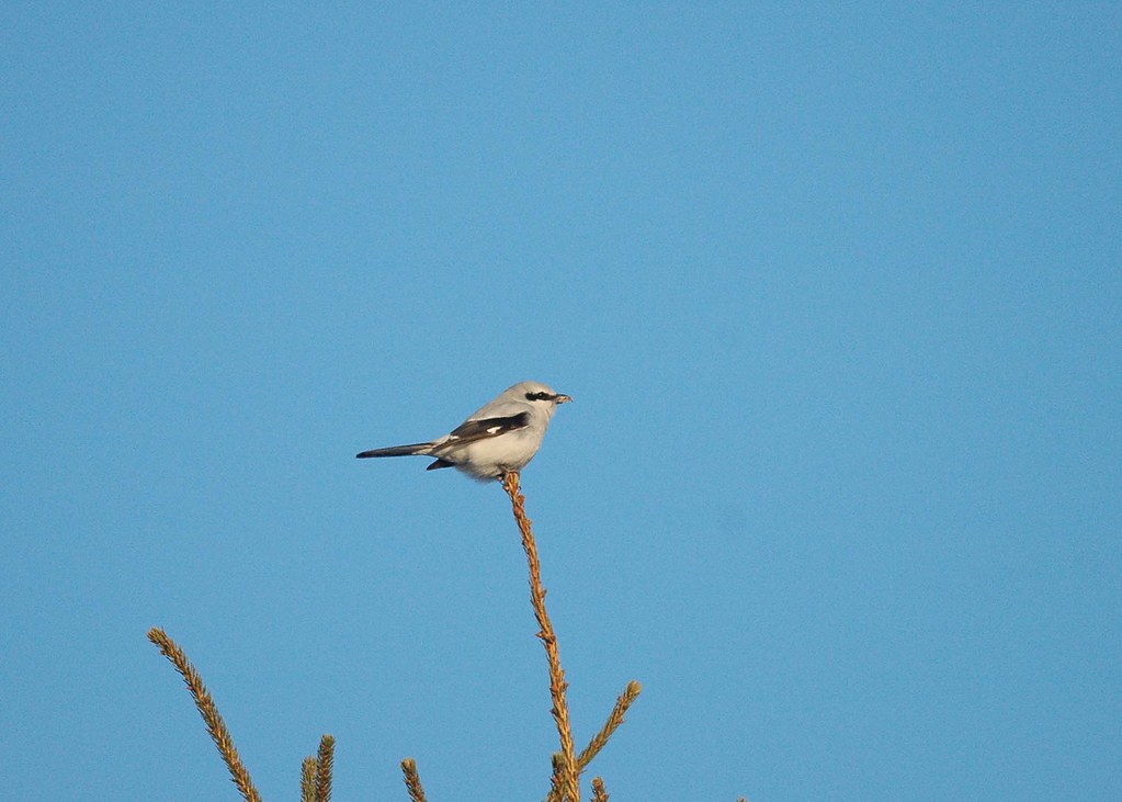
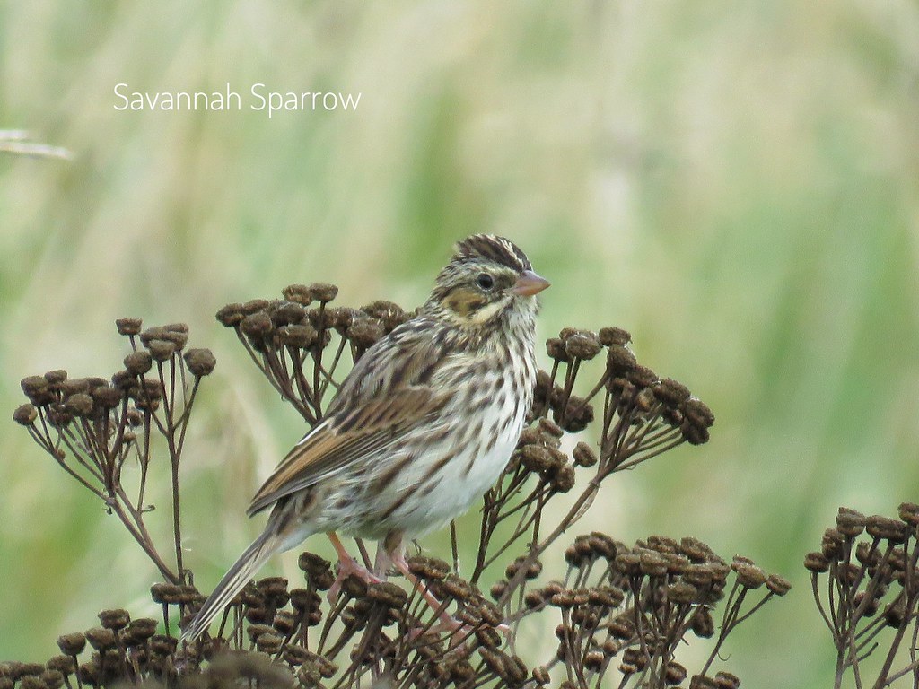
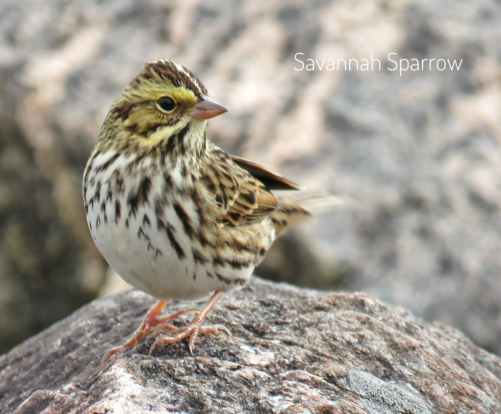
Northern Shrike_5976
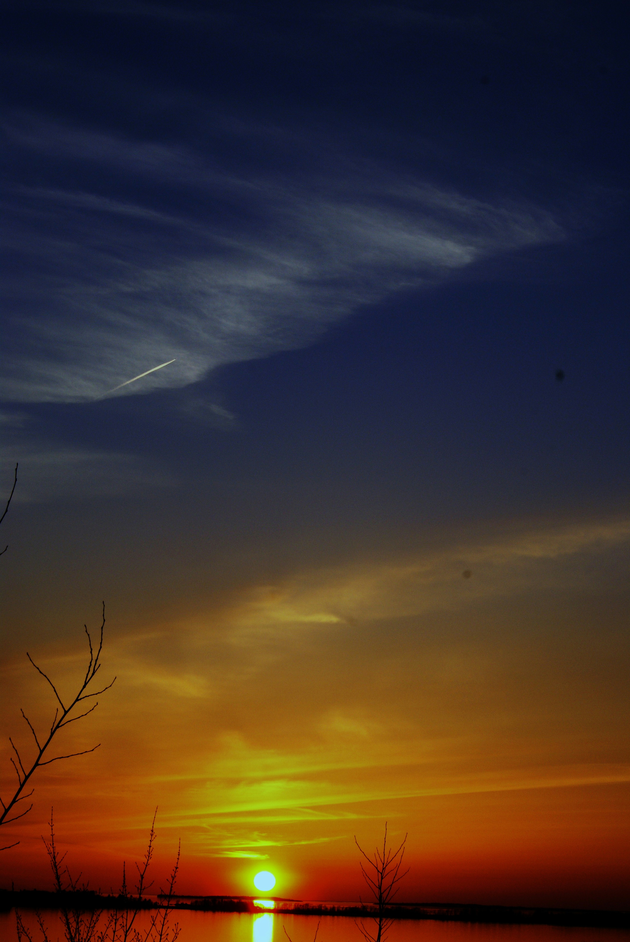
CranberryTrail-Sunset_0030
Happy 1st Day of #Autumn
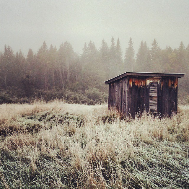
Frosty Morning
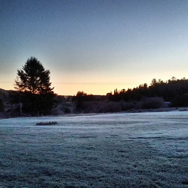
#Frosty #Morning
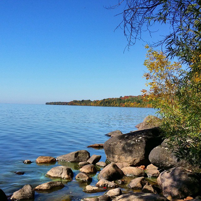
Lake Nosbonsing
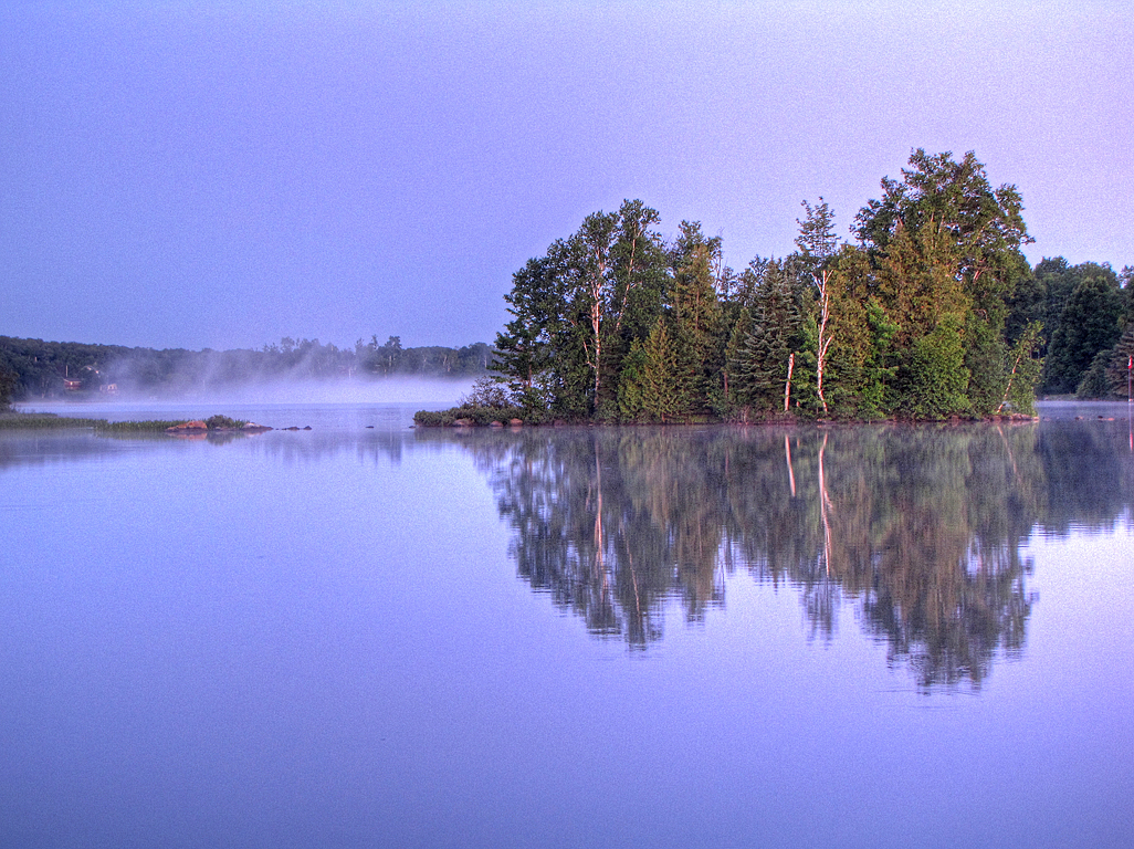
Morning Island Mist
Beautiful Fall Day ... Lake #Nippising
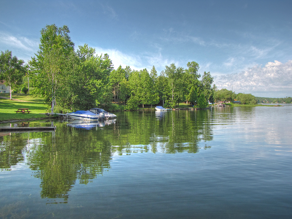
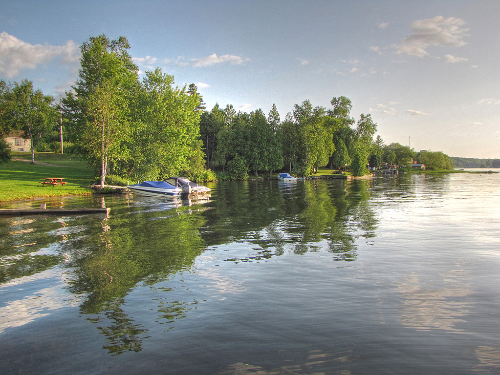
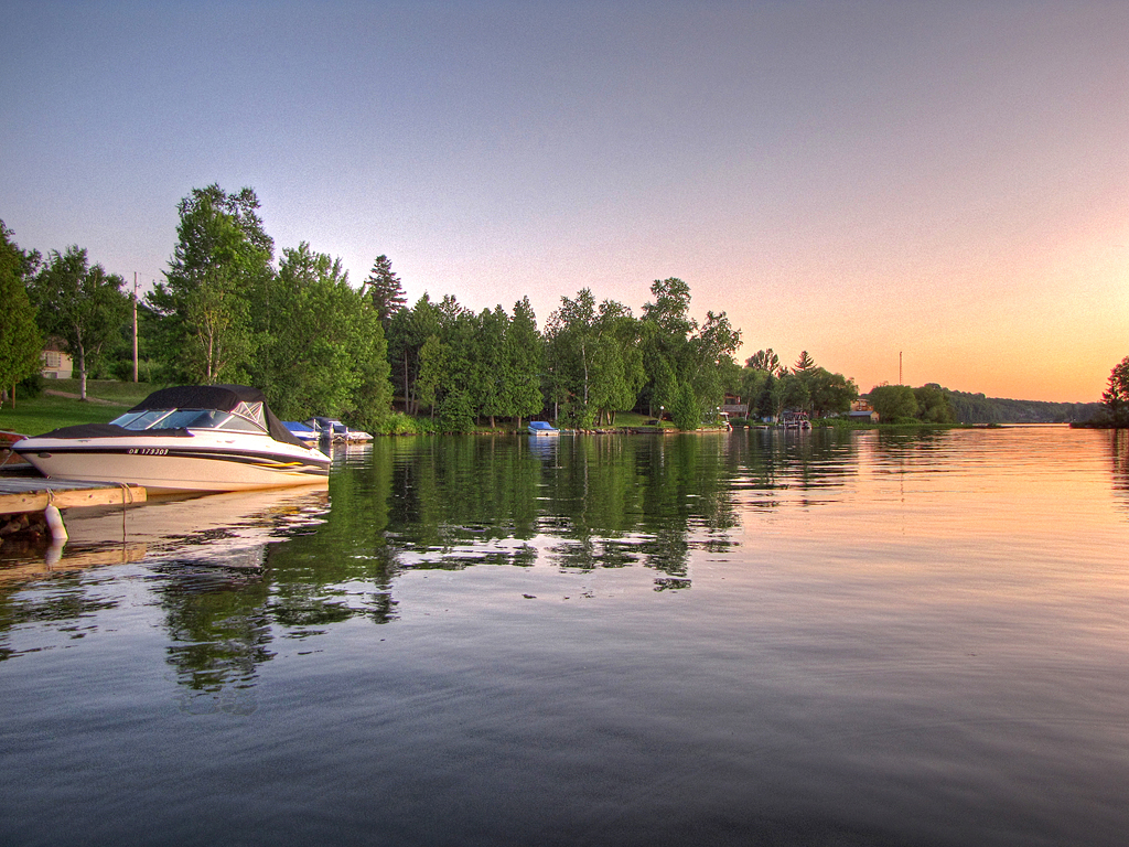
Blue Morning Boats
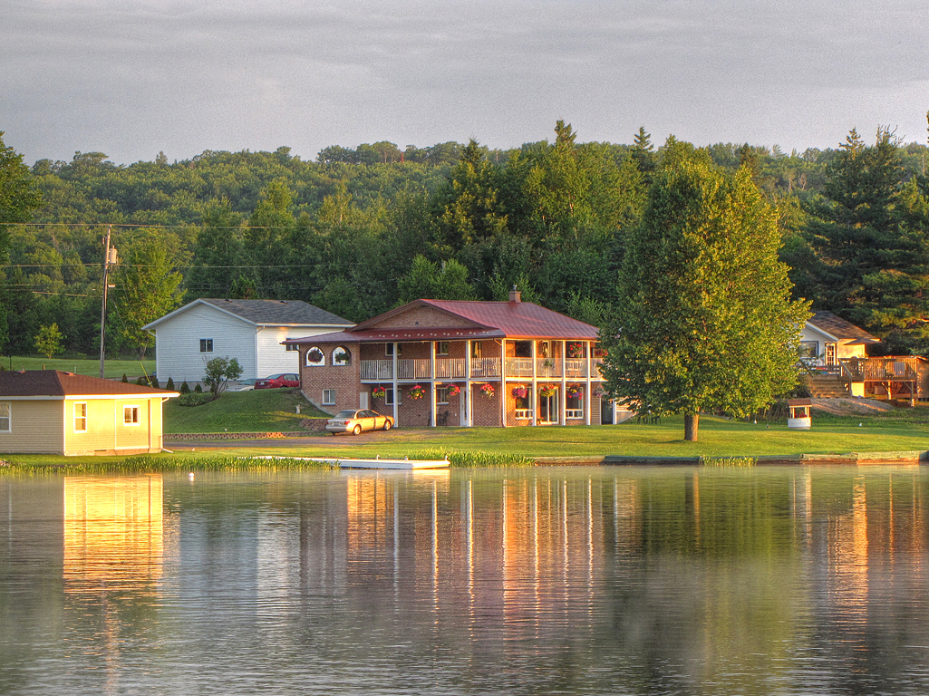
Sunrise Cabbin

This place is open to 'play' tomorrow!
Evening Wake
Evening Boat
01 - From the Start Point
IMG_2654.JPG
IMG_2646.JPG
IMG_2645.JPG
IMG_2637.JPG
They're back :)

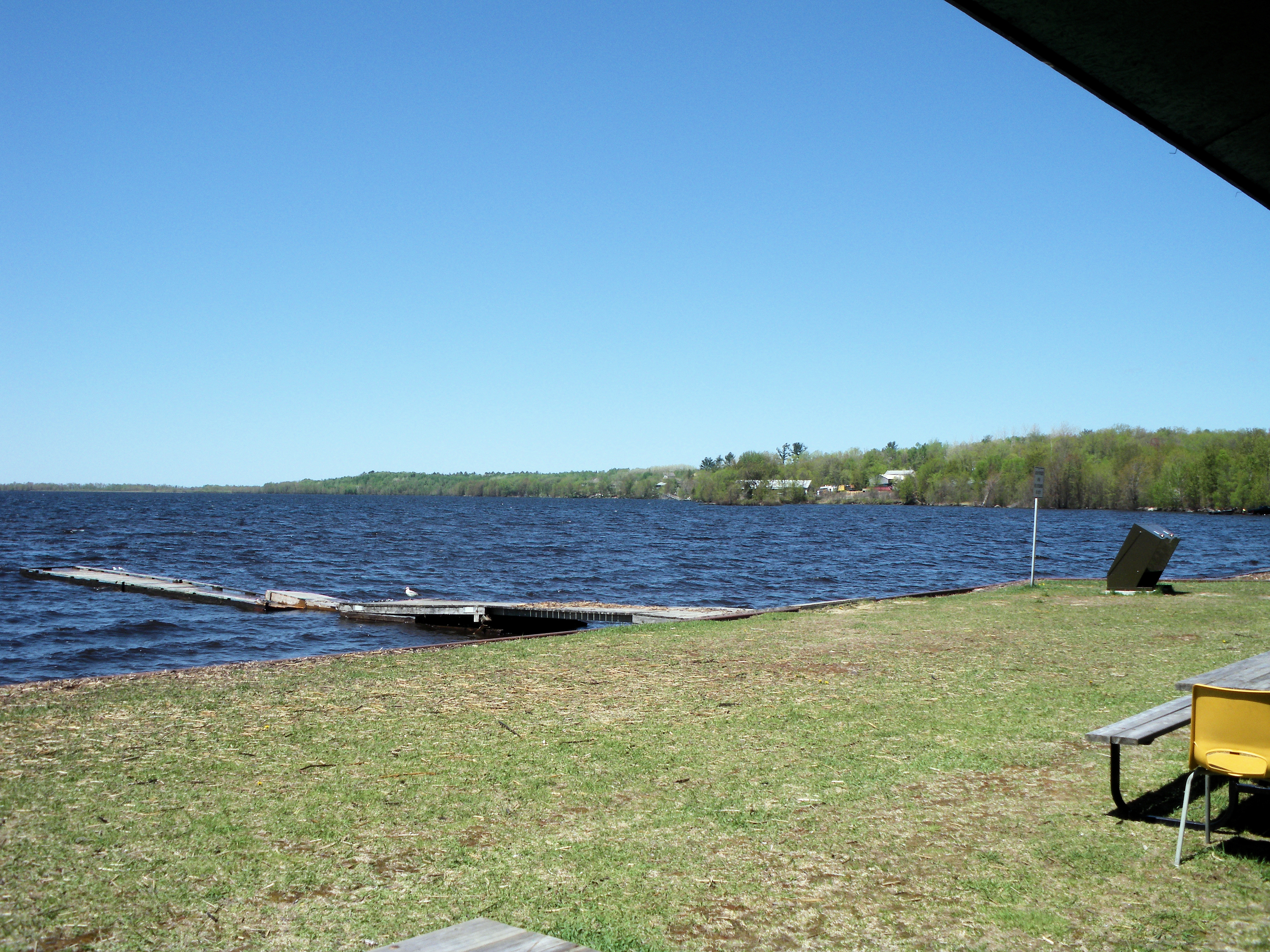
Callander Bay at May 2013
Topographic Map of River Rd, Astorville, ON P0H 1B0, Canada
Find elevation by address:

Places near River Rd, Astorville, ON P0H 1B0, Canada:
Astorville
East Ferris
Golf Course Rd, Powassan, ON P0H 1Z0, Canada
2874 Chiswick Line
Chisholm
Hurtubise Road
Corbeil
Bonfield
1400 On-94
Powassan
Callander
Macewen Corbeil
Powassan
Bonfield
Callander
Peninsula Rd, North Bay, ON P1B 8G4, Canada
Trout Lake
690 Northshore Rd
690 Peninsula Rd
1270 Hwy 17
Recent Searches:
- Elevation of Lampiasi St, Sarasota, FL, USA
- Elevation of Elwyn Dr, Roanoke Rapids, NC, USA
- Elevation of Congressional Dr, Stevensville, MD, USA
- Elevation of Bellview Rd, McLean, VA, USA
- Elevation of Stage Island Rd, Chatham, MA, USA
- Elevation of Shibuya Scramble Crossing, 21 Udagawacho, Shibuya City, Tokyo -, Japan
- Elevation of Jadagoniai, Kaunas District Municipality, Lithuania
- Elevation of Pagonija rock, Kranto 7-oji g. 8"N, Kaunas, Lithuania
- Elevation of Co Rd 87, Jamestown, CO, USA
- Elevation of Tenjo, Cundinamarca, Colombia