Elevation of Golf Course Rd, Powassan, ON P0H 1Z0, Canada
Location: Canada > Ontario > Nipissing District > Chisholm >
Longitude: -79.182241
Latitude: 46.1133486
Elevation: 290m / 951feet
Barometric Pressure: 98KPa
Elevation Map:
Satellite Map:
Related Photos:

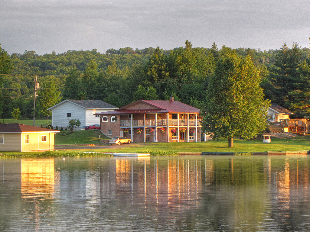
Nothing like having your morning coffee with this view #cottage #lake #Canada #beautiful
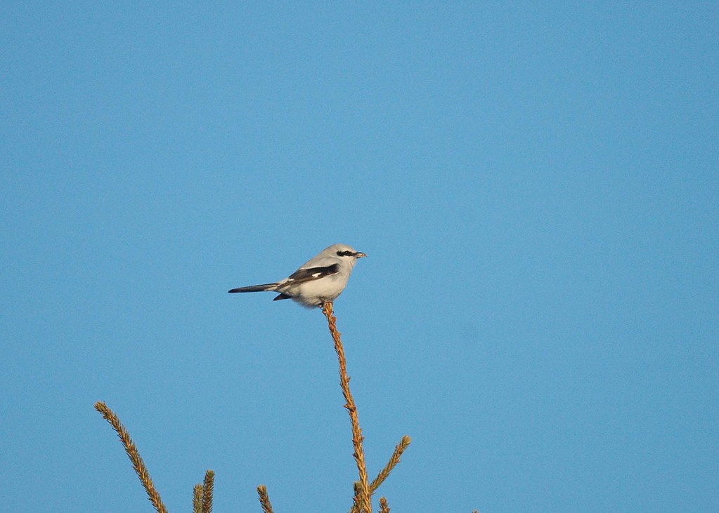
Northern Shrike_5976
Lake Nosbonsing
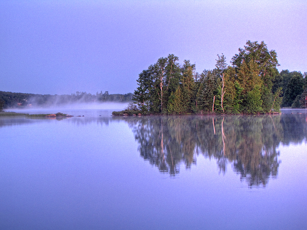
Morning Island Mist
Sunrise Cabbin
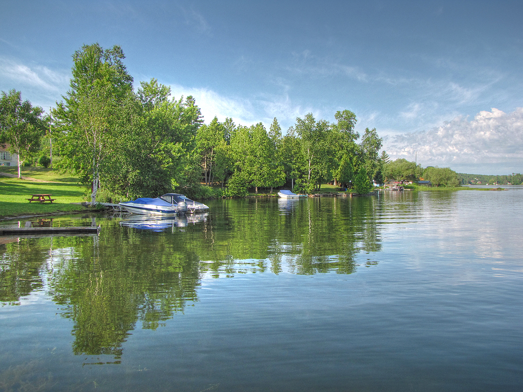
Blue Morning Boats
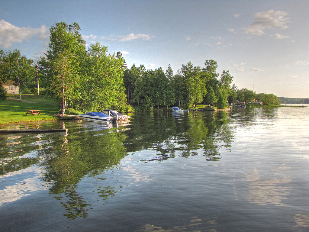
Evening Wake
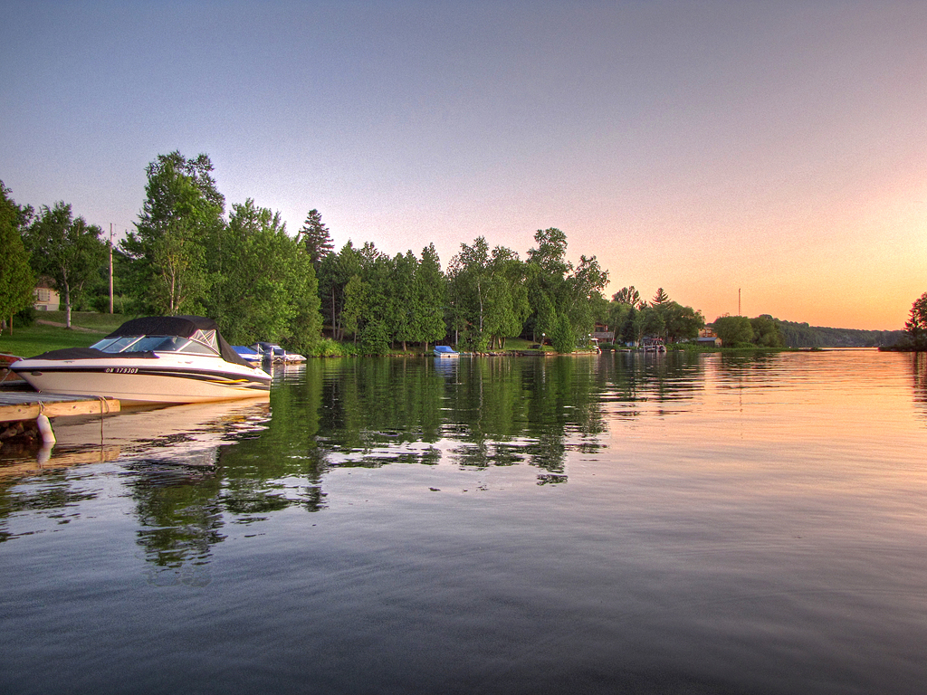
Evening Boat
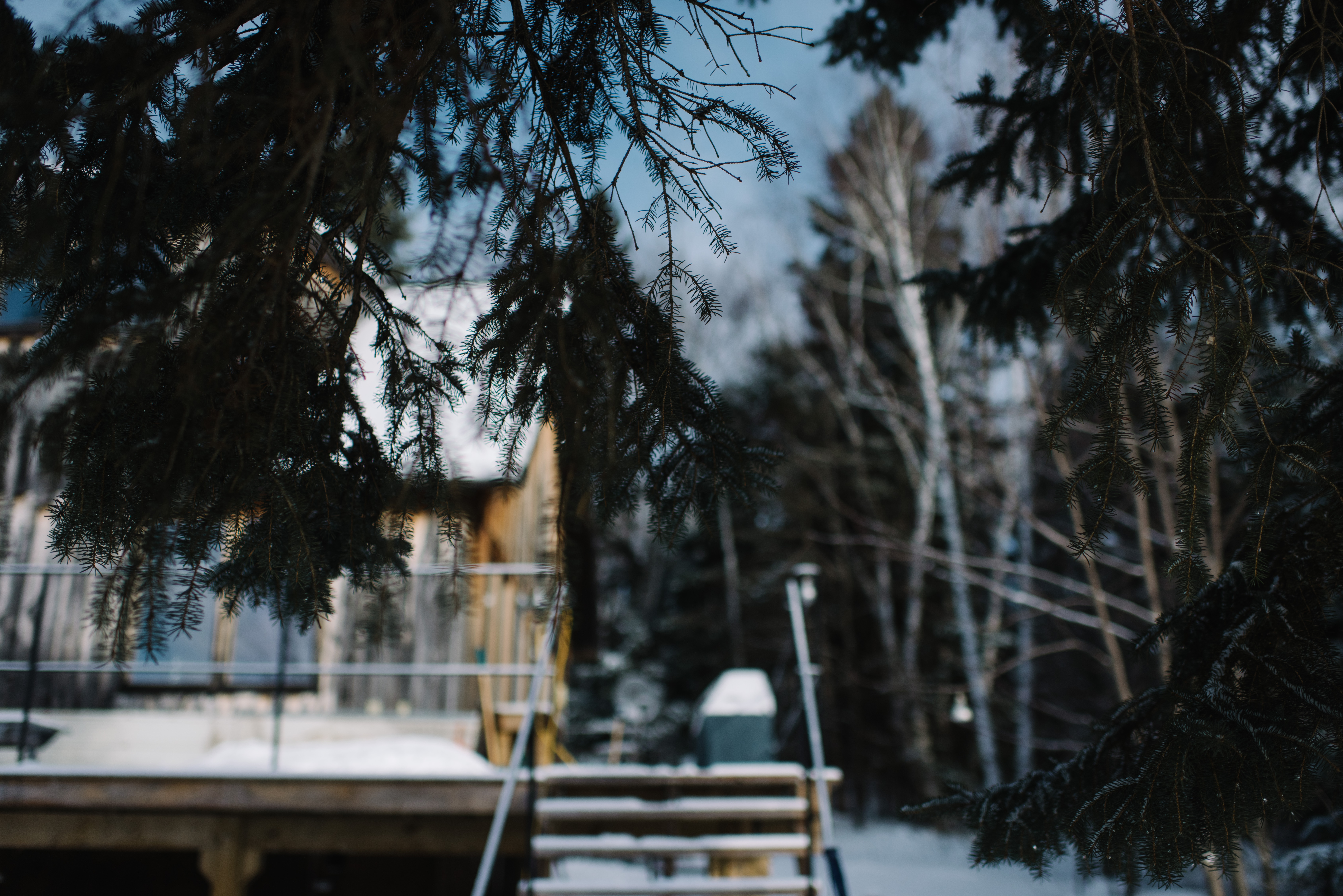
snowy cabin

snowmobile January

Ontario in winter

Ontario in winter
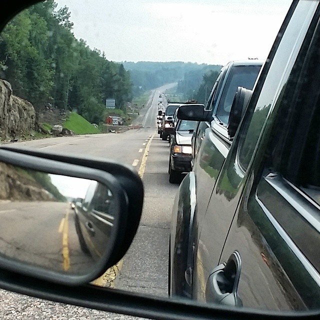
#Construction woes ...
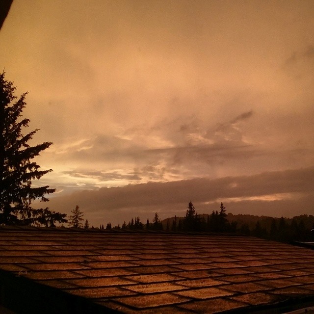
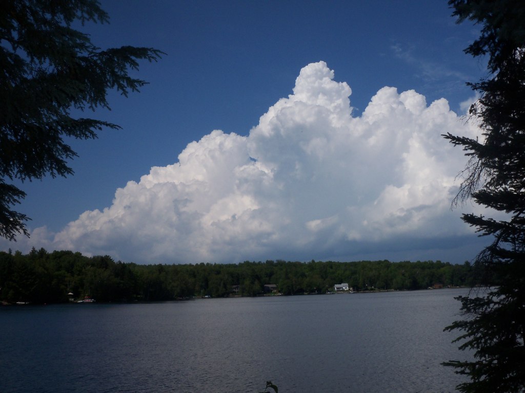
#Stormy #Skies
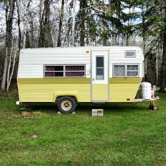
#Camping out for the night
Topographic Map of Golf Course Rd, Powassan, ON P0H 1Z0, Canada
Find elevation by address:

Places near Golf Course Rd, Powassan, ON P0H 1Z0, Canada:
2874 Chiswick Line
Chisholm
607 River Rd
Astorville
Bonfield
Hurtubise Road
Bonfield
East Ferris
Powassan
Corbeil
Powassan
Macewen Corbeil
1400 On-94
P0a 1x0
P0h 2e0
Callander
P0h 2l0
Trout Creek
96 Moreau Rd
96 Moreau Rd
Recent Searches:
- Elevation of Corso Fratelli Cairoli, 35, Macerata MC, Italy
- Elevation of Tallevast Rd, Sarasota, FL, USA
- Elevation of 4th St E, Sonoma, CA, USA
- Elevation of Black Hollow Rd, Pennsdale, PA, USA
- Elevation of Oakland Ave, Williamsport, PA, USA
- Elevation of Pedrógão Grande, Portugal
- Elevation of Klee Dr, Martinsburg, WV, USA
- Elevation of Via Roma, Pieranica CR, Italy
- Elevation of Tavkvetili Mountain, Georgia
- Elevation of Hartfords Bluff Cir, Mt Pleasant, SC, USA