Elevation of Hurtubise Road, Hurtubise Rd, Ontario P0H, Canada
Location: Canada > Ontario > Nipissing District > Corbeil >
Longitude: -79.208574
Latitude: 46.2444437
Elevation: 262m / 860feet
Barometric Pressure: 98KPa
Elevation Map:
Satellite Map:
Related Photos:

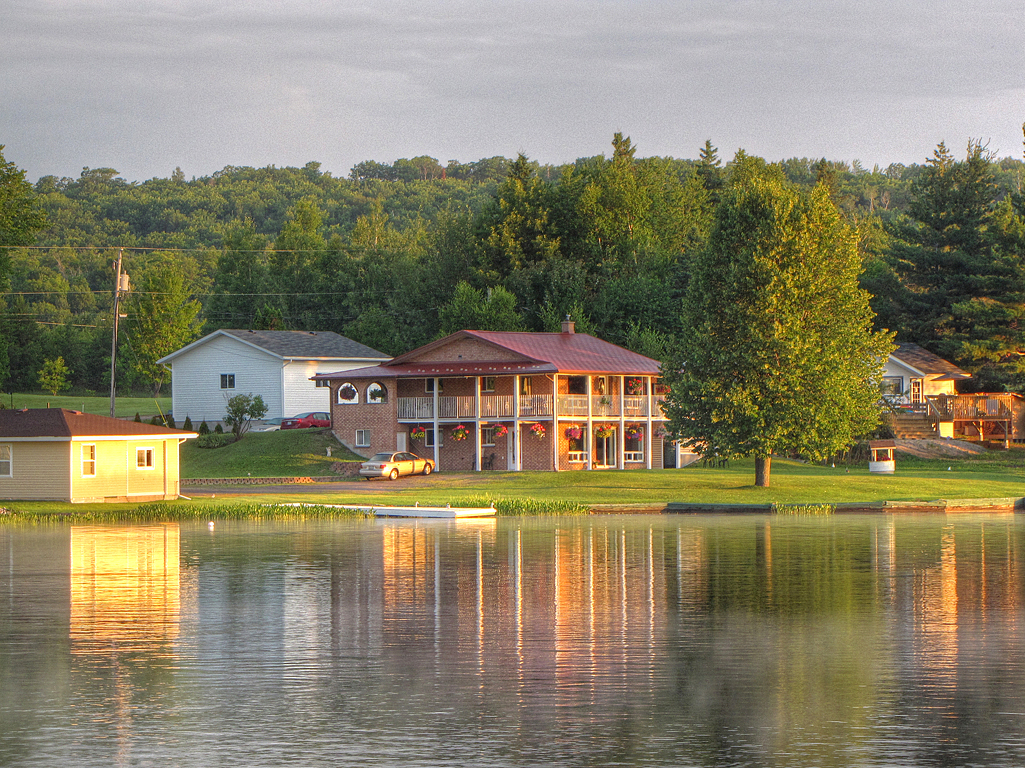
The View From the Brenne's Cottage

The View From the Scott's Cottage

the view that stopped traffic

Thanks For The Tip Marty1955

Talon Chutes

CranberryTrail-Sunset_0030

Blue Morning Boats

01 - From the Start Point

Callander Bay at May 2013

Beautiful Fall Day ... Lake #Nippising
Sunrise Cabbin

nature at its best 1

Evening Boat

Morning Island Mist

Evening Wake

Palm Warbler

Lake Nosbonsing

Frosty Morning

Happy 1st Day of #Autumn

IMG_2646.JPG

Evening on Lake Talon
IMG_2645.JPG

IMG_2637.JPG

#Frosty #Morning
Topographic Map of Hurtubise Road, Hurtubise Rd, Ontario P0H, Canada
Find elevation by address:

Places near Hurtubise Road, Hurtubise Rd, Ontario P0H, Canada:
Bonfield
Bonfield
Corbeil
Macewen Corbeil
Peninsula Rd, North Bay, ON P1B 8G4, Canada
690 Northshore Rd
1400 On-94
Trout Lake
690 Peninsula Rd
Redbridge
1270 Hwy 17
1000 Four Mile Lake Rd
1006 Four Mile Lake Rd
1004 Four Mile Lake Rd
1002 Four Mile Lake Rd
57 Charlton Crescent
1500 Airport Rd
Trout Lake Rd At Mckay Ave (e)
1155 Metcalfe St
Recent Searches:
- Elevation of Elwyn Dr, Roanoke Rapids, NC, USA
- Elevation of Congressional Dr, Stevensville, MD, USA
- Elevation of Bellview Rd, McLean, VA, USA
- Elevation of Stage Island Rd, Chatham, MA, USA
- Elevation of Shibuya Scramble Crossing, 21 Udagawacho, Shibuya City, Tokyo -, Japan
- Elevation of Jadagoniai, Kaunas District Municipality, Lithuania
- Elevation of Pagonija rock, Kranto 7-oji g. 8"N, Kaunas, Lithuania
- Elevation of Co Rd 87, Jamestown, CO, USA
- Elevation of Tenjo, Cundinamarca, Colombia
- Elevation of Côte-des-Neiges, Montreal, QC H4A 3J6, Canada