Elevation of Bonfield, ON, Canada
Location: Canada > Ontario > Nipissing District > Bonfield >
Longitude: -79.146952
Latitude: 46.2309767
Elevation: 241m / 791feet
Barometric Pressure: 98KPa
Elevation Map:
Satellite Map:
Related Photos:
The View From the Scott's Cottage
The View From the Brenne's Cottage
My Ontario
Happy 1st Day of #Autumn
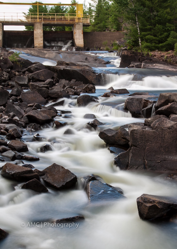
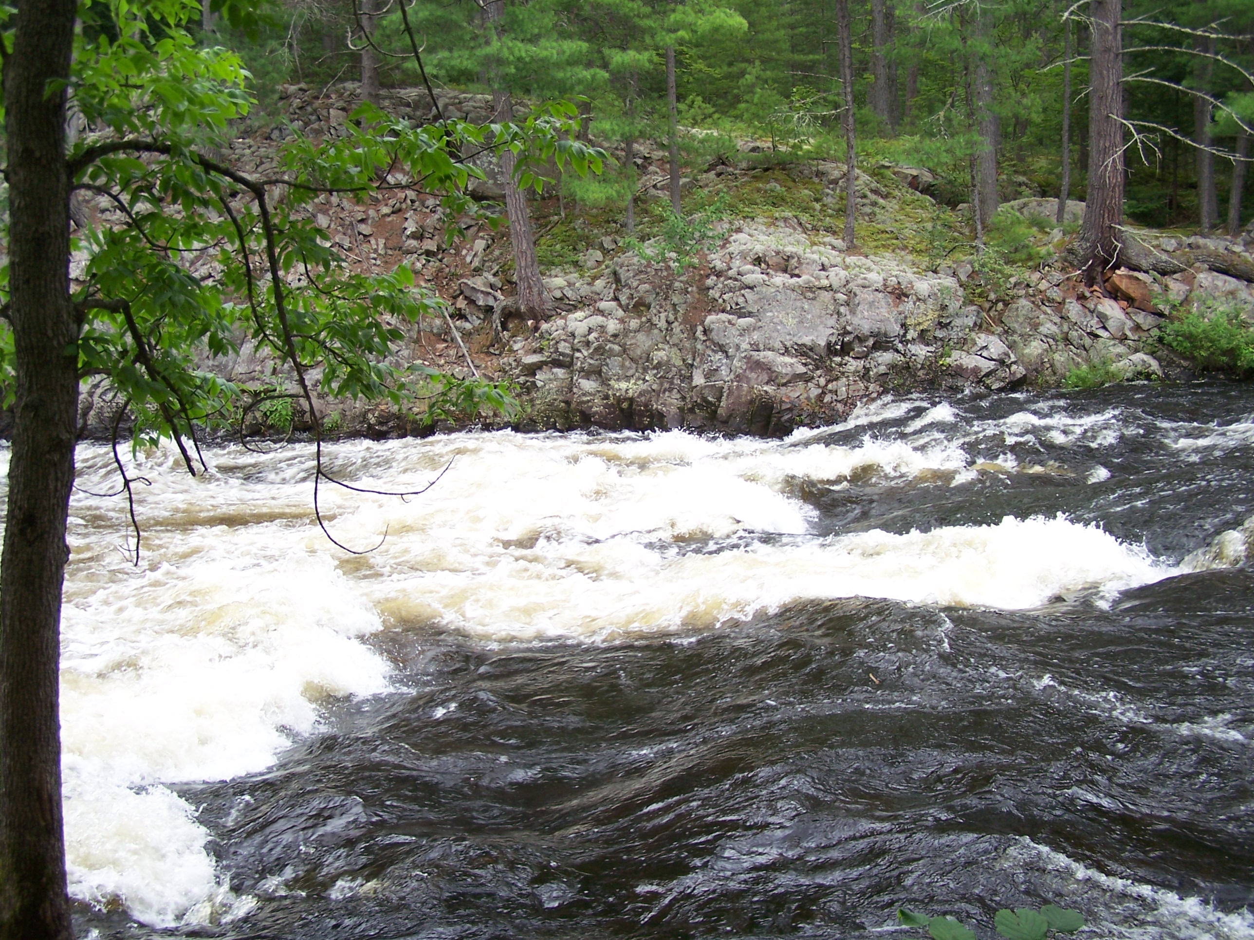
Talon Chutes
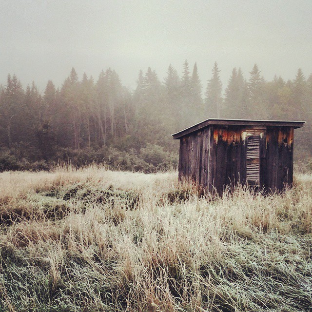
Frosty Morning
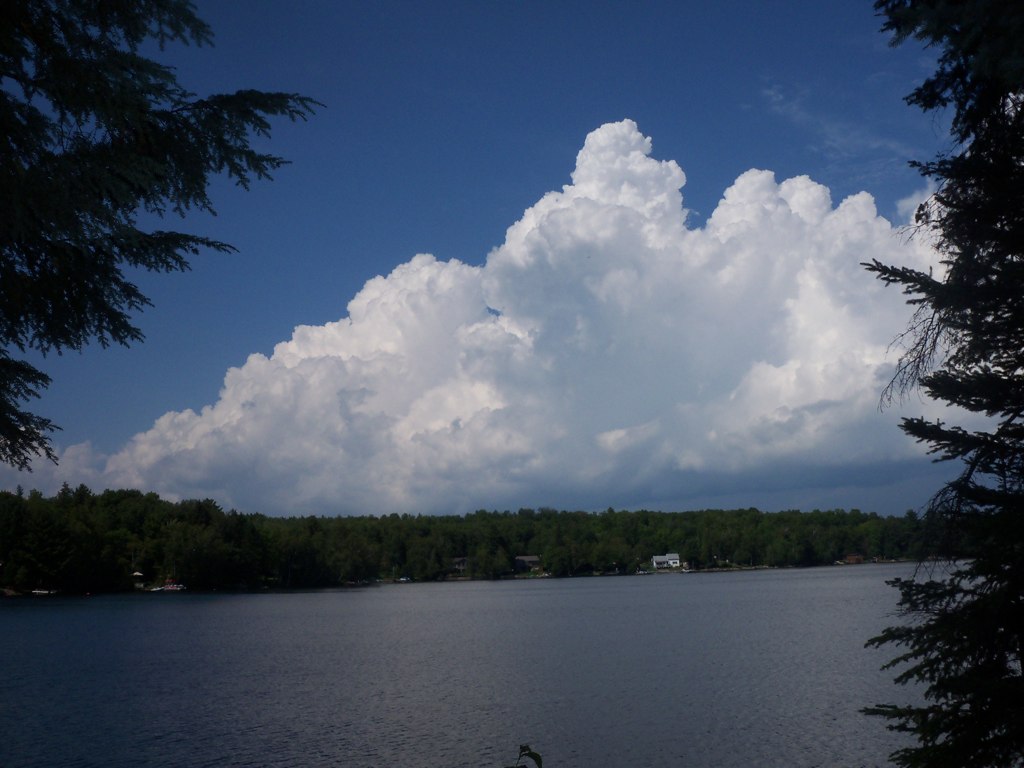
Lake Nosbonsing
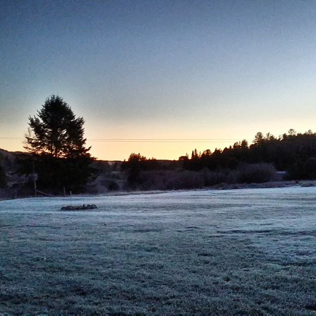
#Frosty #Morning
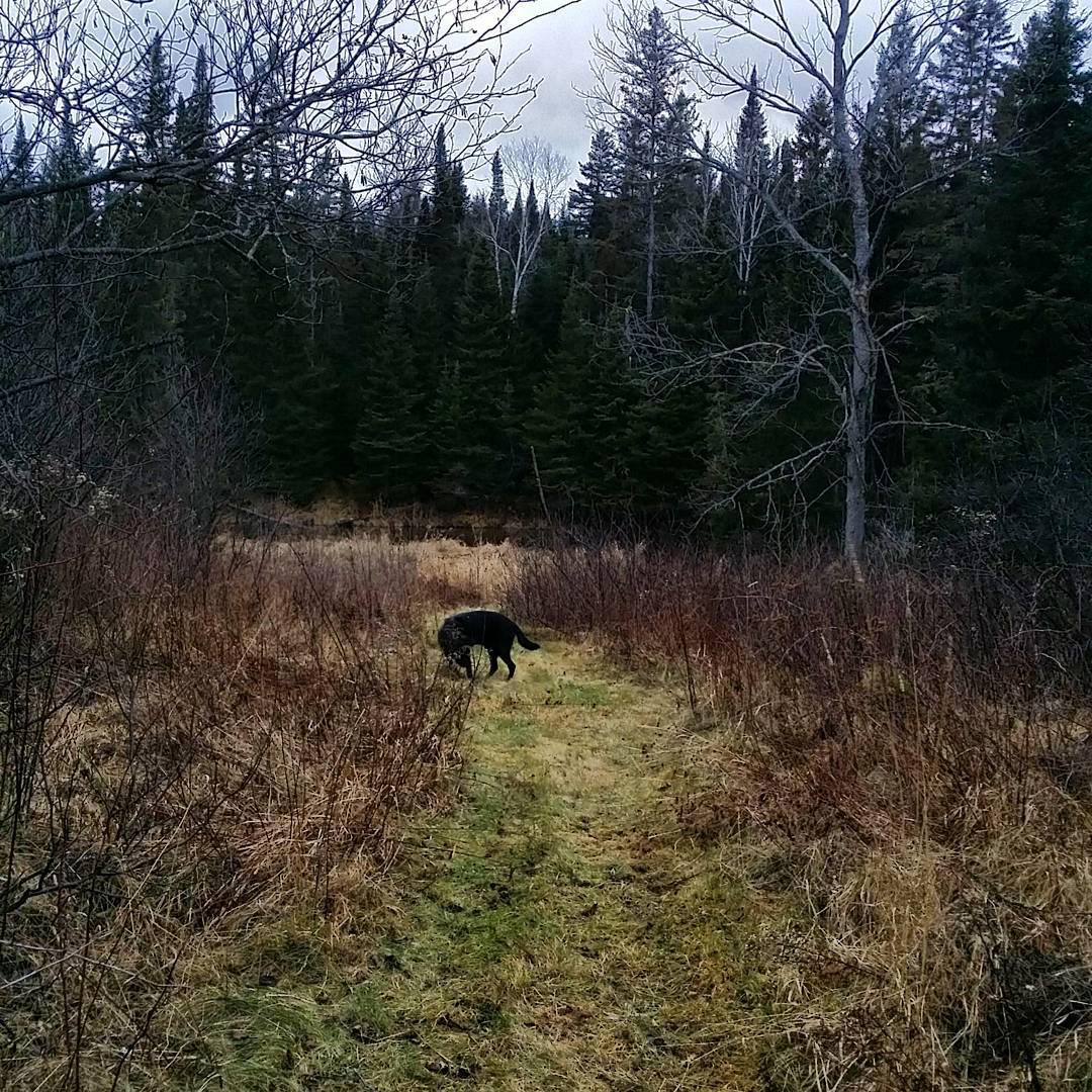
nature at its best 1

Evening on Lake Talon
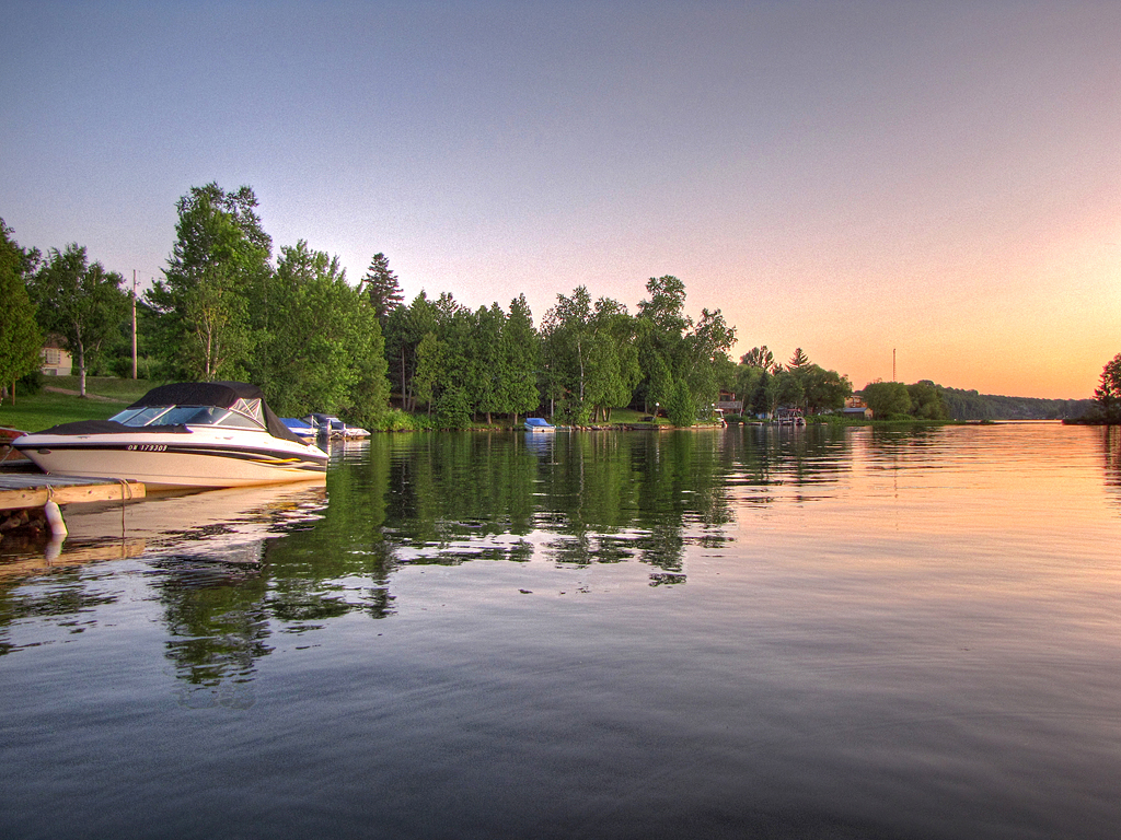
Blue Morning Boats
Sunrise Cabbin
Evening Wake
Evening Boat
Where we fell in
Green Christmas
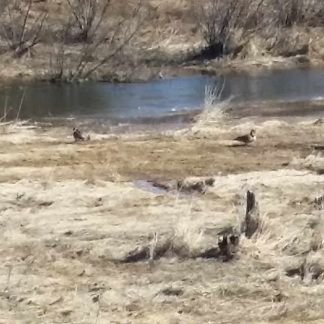
They're back :)
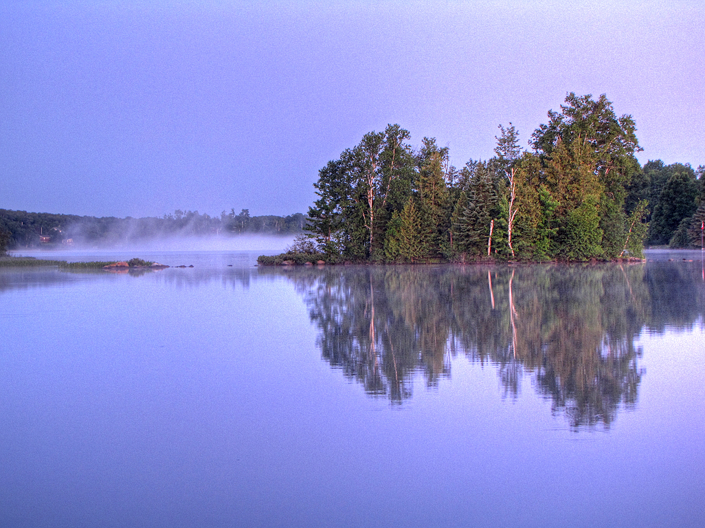
Morning Island Mist
Topographic Map of Bonfield, ON, Canada
Find elevation by address:

Places in Bonfield, ON, Canada:
Places near Bonfield, ON, Canada:
Bonfield
Hurtubise Road
Corbeil
Peninsula Rd, North Bay, ON P1B 8G4, Canada
Macewen Corbeil
690 Northshore Rd
Redbridge
1400 On-94
Trout Lake
690 Peninsula Rd
1270 Hwy 17
1000 Four Mile Lake Rd
1006 Four Mile Lake Rd
1004 Four Mile Lake Rd
1002 Four Mile Lake Rd
57 Charlton Crescent
1500 Airport Rd
Trout Lake Rd At Mckay Ave (e)
1155 Metcalfe St
Recent Searches:
- Elevation of Lampiasi St, Sarasota, FL, USA
- Elevation of Elwyn Dr, Roanoke Rapids, NC, USA
- Elevation of Congressional Dr, Stevensville, MD, USA
- Elevation of Bellview Rd, McLean, VA, USA
- Elevation of Stage Island Rd, Chatham, MA, USA
- Elevation of Shibuya Scramble Crossing, 21 Udagawacho, Shibuya City, Tokyo -, Japan
- Elevation of Jadagoniai, Kaunas District Municipality, Lithuania
- Elevation of Pagonija rock, Kranto 7-oji g. 8"N, Kaunas, Lithuania
- Elevation of Co Rd 87, Jamestown, CO, USA
- Elevation of Tenjo, Cundinamarca, Colombia