Elevation of Richmond Ave N, Listowel, ON N4W 3A1, Canada
Location: Canada > Ontario > Perth County > North Perth > Listowel >
Longitude: -80.944251
Latitude: 43.7388811
Elevation: 392m / 1286feet
Barometric Pressure: 97KPa
Elevation Map:
Satellite Map:
Related Photos:
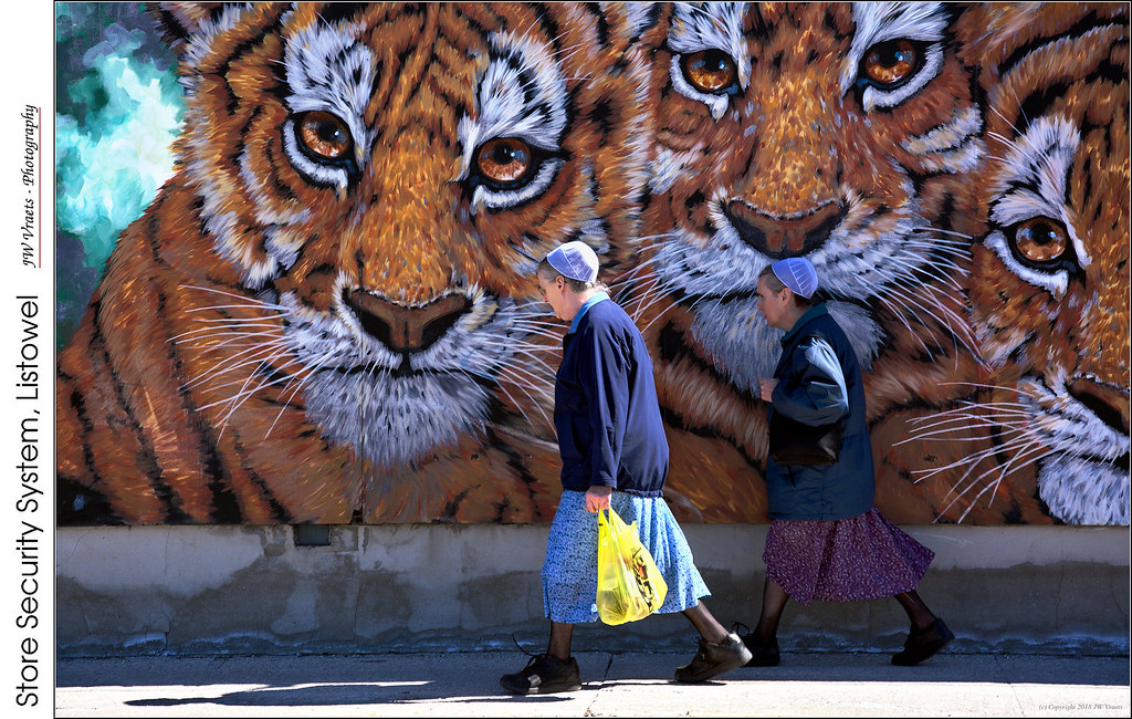
Store Security System, Listowel
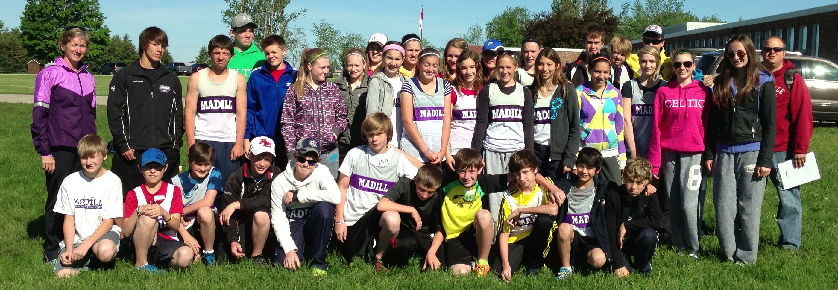
Day 155: Madill Track & Field Team Rocks the Regionals
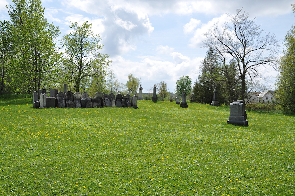
Pioneer Cemetery (1)
Pioneer Cemetery (3)
Wrapped bales
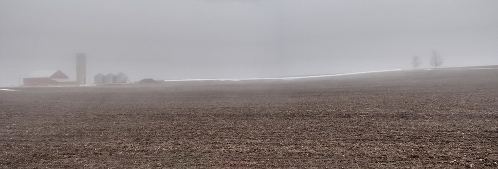
Clouds - Listowel, ON
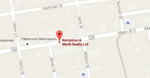
Kempston & Werth Realty Ltd - Palmerston
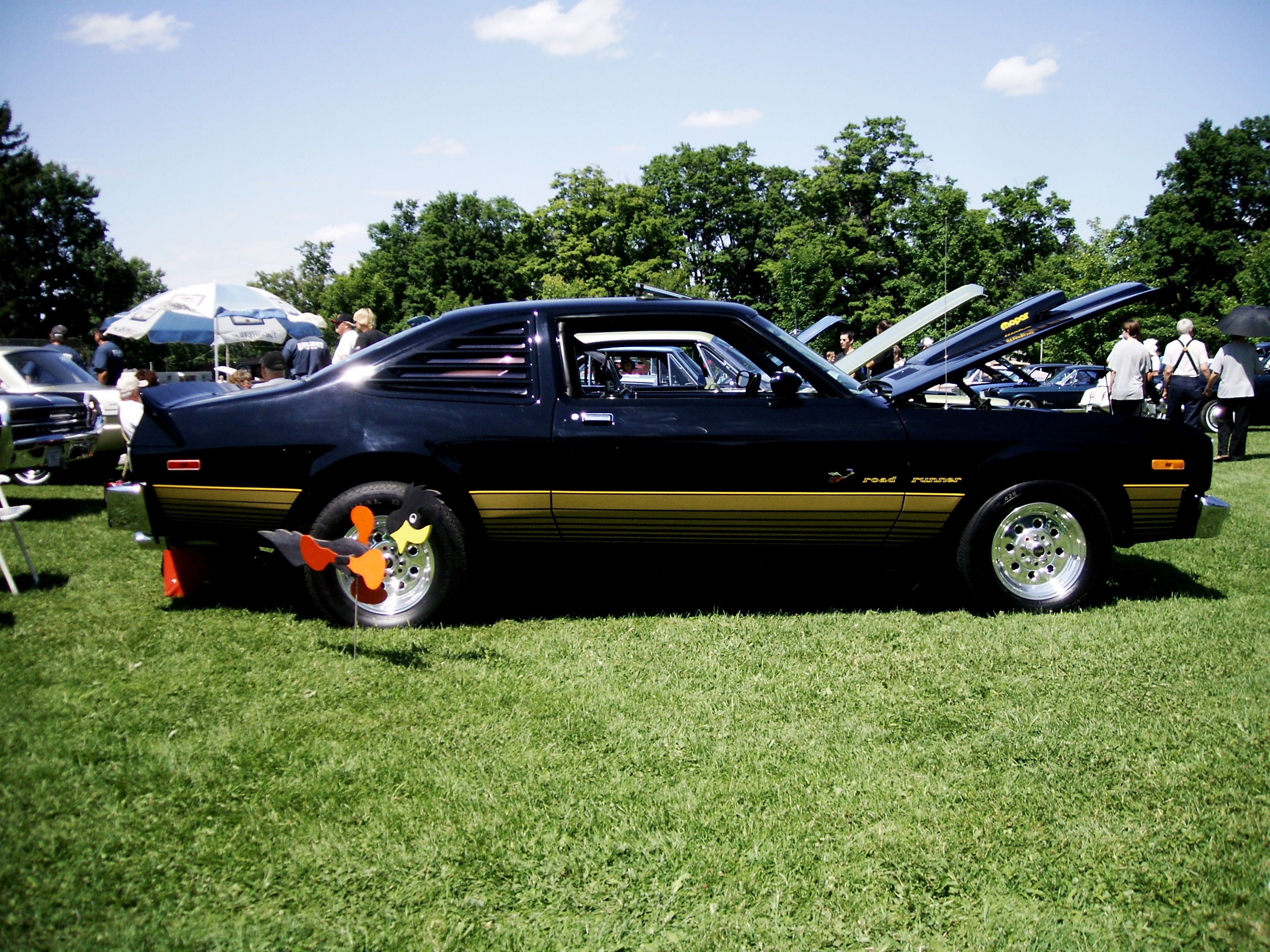
114 - RoadRunner
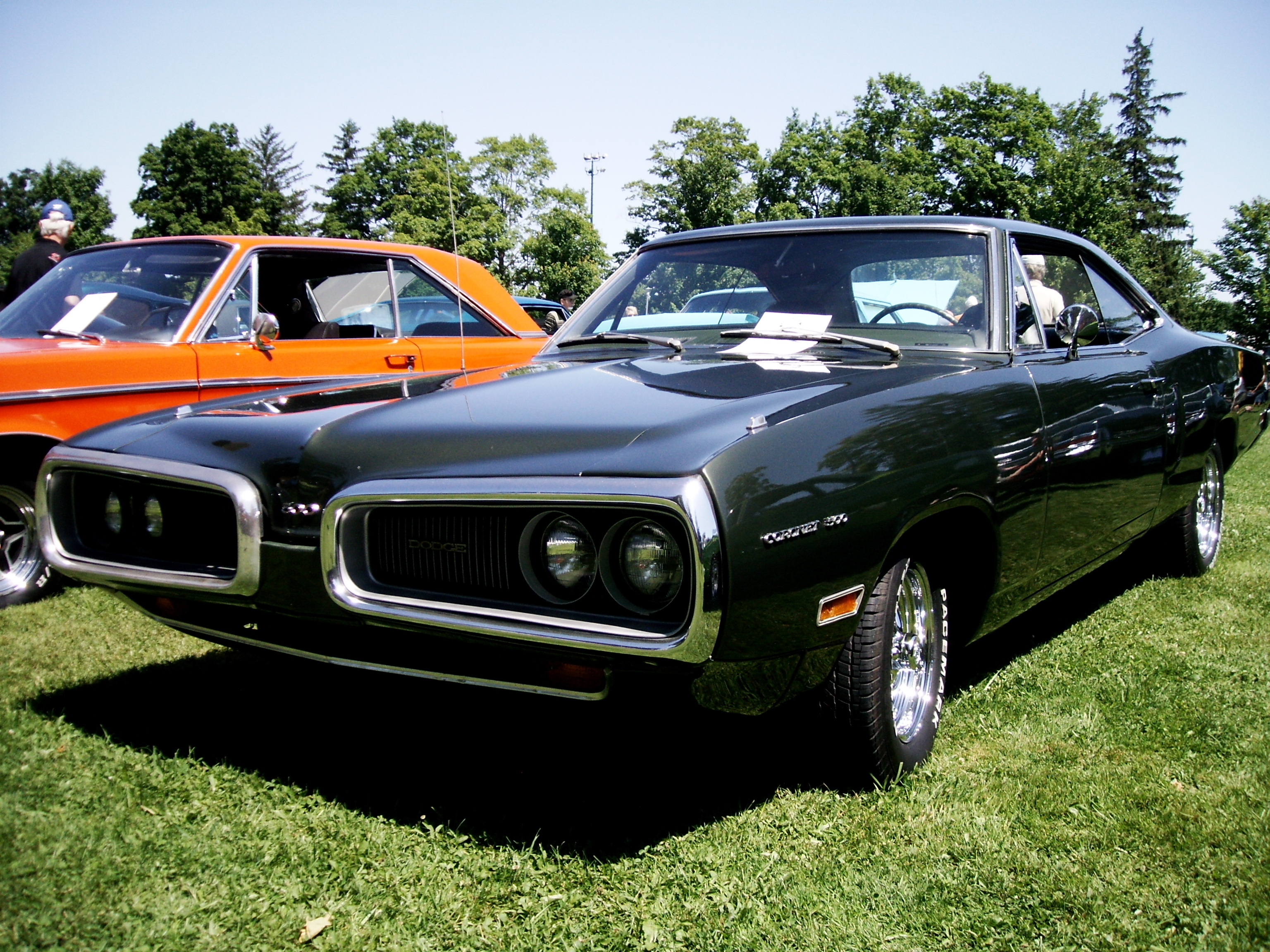
080 - Dodge Coronet
February 2 2013

January 26 2013
They Said it Couldn't be Done
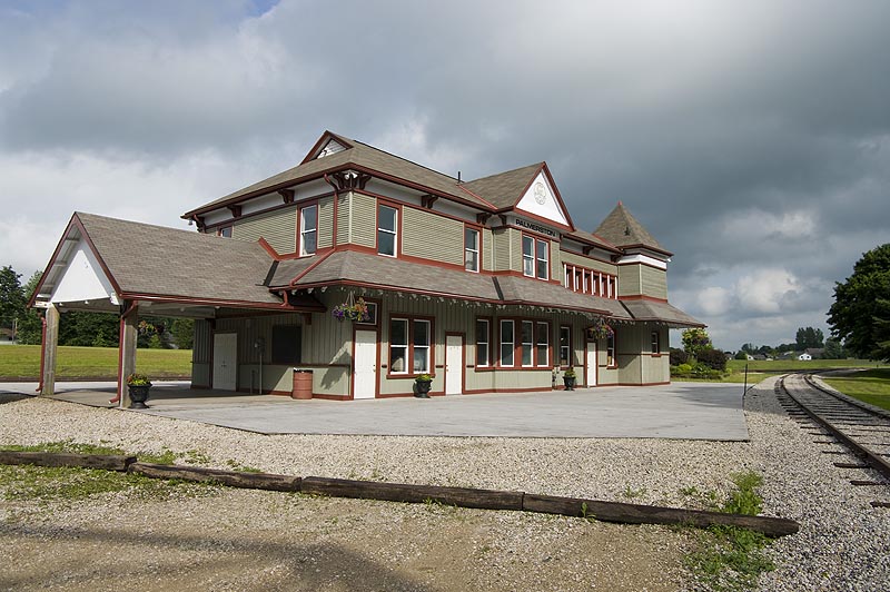
Palmerston Station

The flags say it all
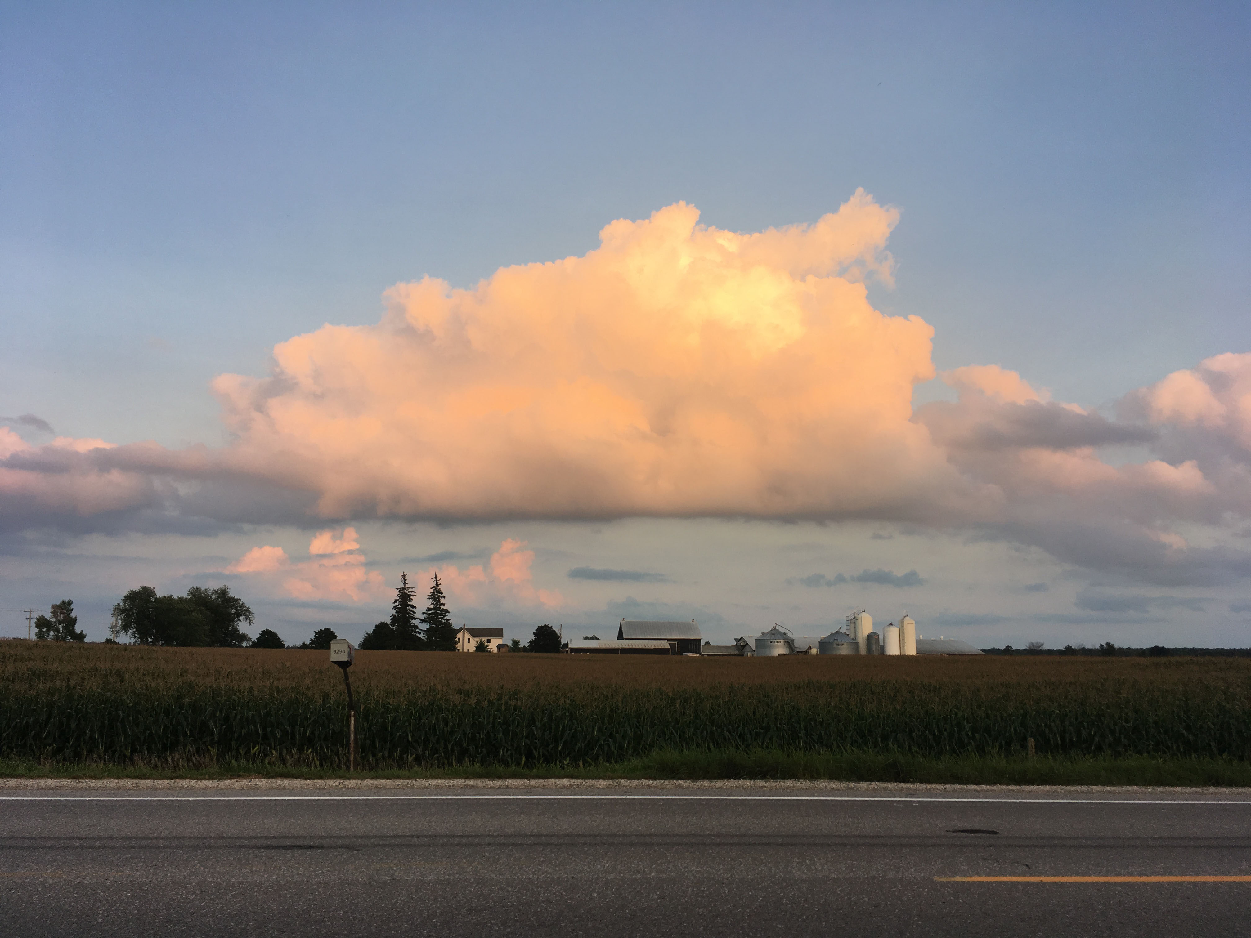
Big Fluffy Pink Cloud
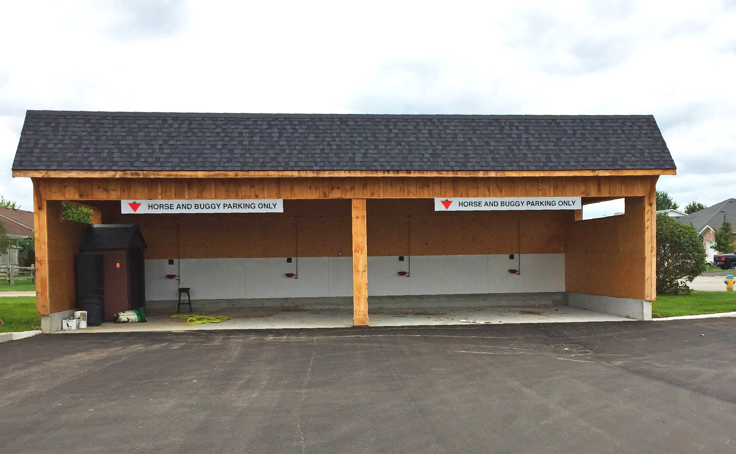
New horse and buggy parking.
Without Roof Top
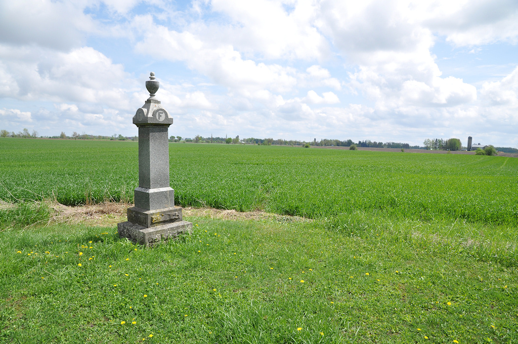
Pioneer Cemetery (4)
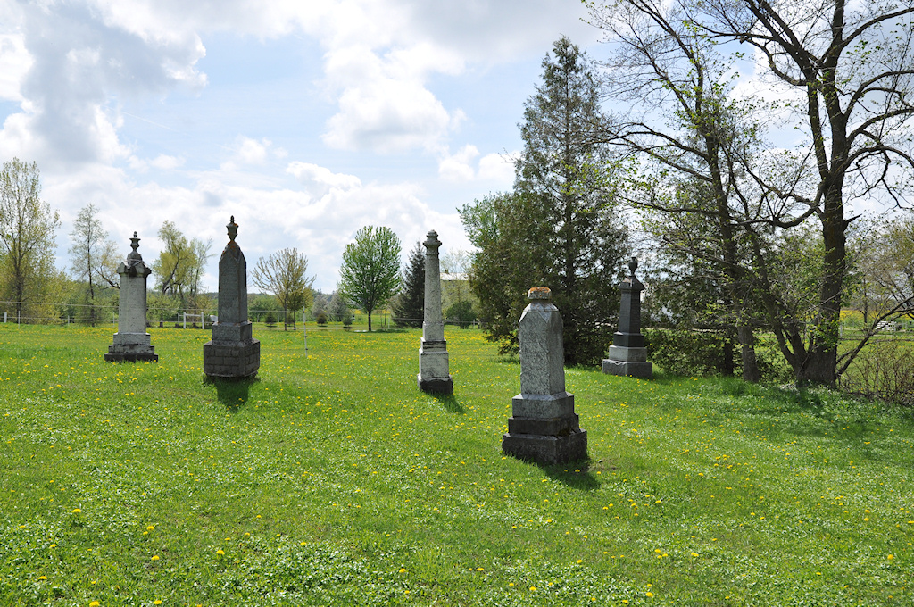
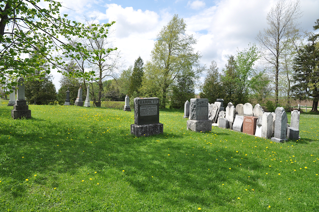
Pioneer Cemetery (2)

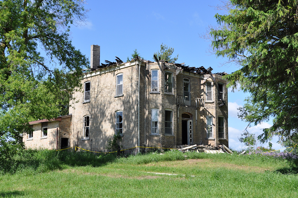
Once a Church (2)
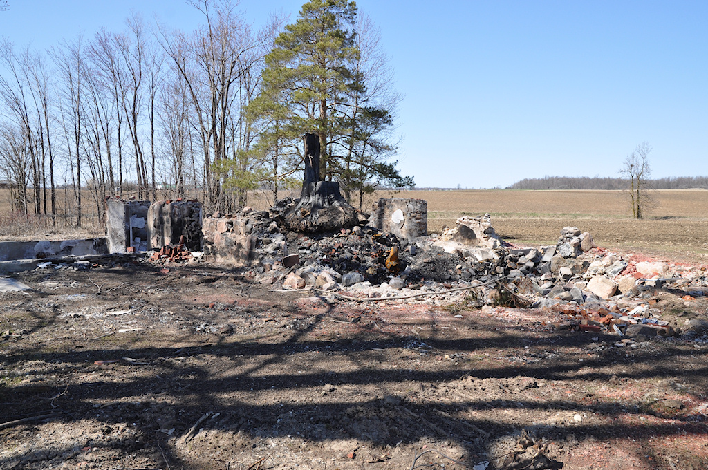
Once a Church (1)
Topographic Map of Richmond Ave N, Listowel, ON N4W 3A1, Canada
Find elevation by address:

Places near Richmond Ave N, Listowel, ON N4W 3A1, Canada:
886 Richmond Ave N
255 Elizabeth St E
Listowel
North Perth
Perth County Rd, Atwood, ON N0G 1B0, Canada
Line 81, Listowel, ON N4W 3G9, Canada
6606 Perth County Line 86
Atwood
Arthur St, Atwood, ON N0G, Canada
Molesworth
Palmerston
Whites Road
48 Wilson St
Harriston
55 King St N, Harriston, ON N0G 1Z0, Canada
24 George St N
24 George St N
24 George St N
Moorefield
8118-8100
Recent Searches:
- Elevation of Elwyn Dr, Roanoke Rapids, NC, USA
- Elevation of Congressional Dr, Stevensville, MD, USA
- Elevation of Bellview Rd, McLean, VA, USA
- Elevation of Stage Island Rd, Chatham, MA, USA
- Elevation of Shibuya Scramble Crossing, 21 Udagawacho, Shibuya City, Tokyo -, Japan
- Elevation of Jadagoniai, Kaunas District Municipality, Lithuania
- Elevation of Pagonija rock, Kranto 7-oji g. 8"N, Kaunas, Lithuania
- Elevation of Co Rd 87, Jamestown, CO, USA
- Elevation of Tenjo, Cundinamarca, Colombia
- Elevation of Côte-des-Neiges, Montreal, QC H4A 3J6, Canada