Elevation of Molesworth, ON N0G, Canada
Location: Canada > Ontario > Perth County > North Perth >
Longitude: -81.071979
Latitude: 43.7806179
Elevation: 366m / 1201feet
Barometric Pressure: 97KPa
Elevation Map:
Satellite Map:
Related Photos:

Day 155: Madill Track & Field Team Rocks the Regionals
last sunrise
0310_2.ajpg
Wrapped bales
Last of the snow

20140905-_E1A8946.jpg
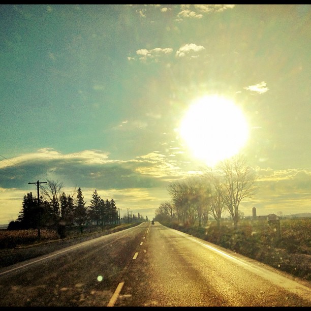
lonely road this morning
Squall Line in the Distance
Squall Line Forming
Clouds - Listowel, ON
Topographic Map of Molesworth, ON N0G, Canada
Find elevation by address:

Places near Molesworth, ON N0G, Canada:
6606 Perth County Line 86
Gorrie
Albert Street South
Atwood
Arthur St, Atwood, ON N0G, Canada
North Perth
Listowel
Brussels Line, Bluevale, ON N0G 1G0, Canada
255 Elizabeth St E
880 Richmond Ave N
886 Richmond Ave N
83677 Livingston Line
250 Turnberry St
250 Turnberry St
250 Turnberry St
250 Turnberry St
250 Turnberry St
250 Turnberry St
Perth County Rd, Atwood, ON N0G 1B0, Canada
Brussels
Recent Searches:
- Elevation of Congressional Dr, Stevensville, MD, USA
- Elevation of Bellview Rd, McLean, VA, USA
- Elevation of Stage Island Rd, Chatham, MA, USA
- Elevation of Shibuya Scramble Crossing, 21 Udagawacho, Shibuya City, Tokyo -, Japan
- Elevation of Jadagoniai, Kaunas District Municipality, Lithuania
- Elevation of Pagonija rock, Kranto 7-oji g. 8"N, Kaunas, Lithuania
- Elevation of Co Rd 87, Jamestown, CO, USA
- Elevation of Tenjo, Cundinamarca, Colombia
- Elevation of Côte-des-Neiges, Montreal, QC H4A 3J6, Canada
- Elevation of Bobcat Dr, Helena, MT, USA