Elevation of Listowel, ON, Canada
Location: Canada > Ontario > Perth County > North Perth >
Longitude: -80.951469
Latitude: 43.7334165
Elevation: 380m / 1247feet
Barometric Pressure: 97KPa
Elevation Map:
Satellite Map:
Related Photos:

Day 155: Madill Track & Field Team Rocks the Regionals
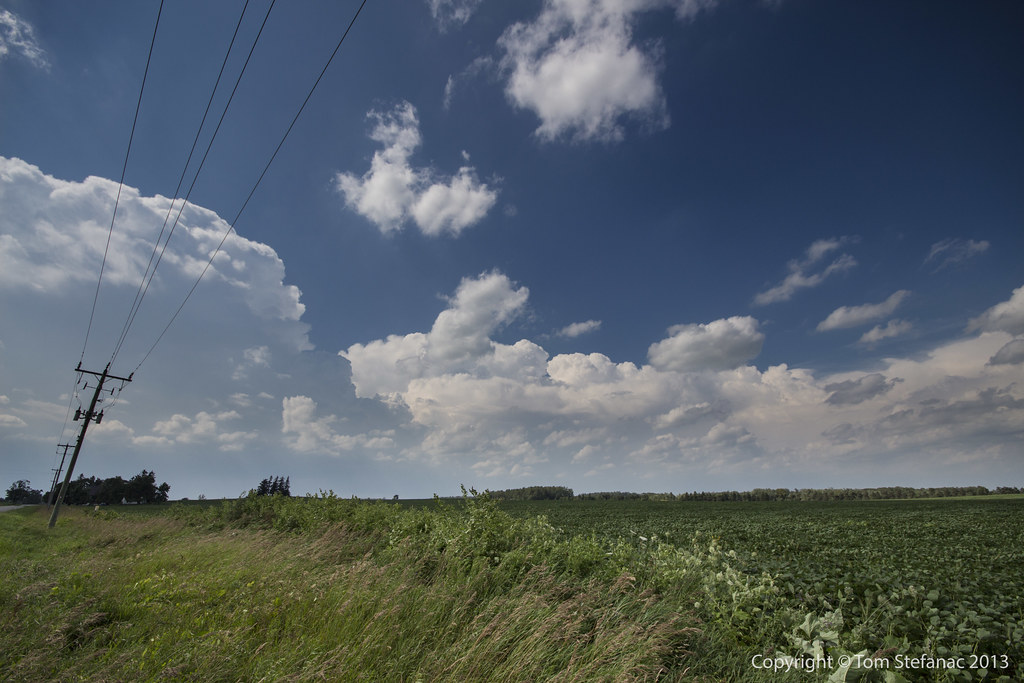
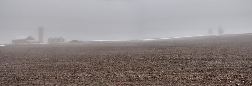
Squall Line Forming
Clouds - Listowel, ON
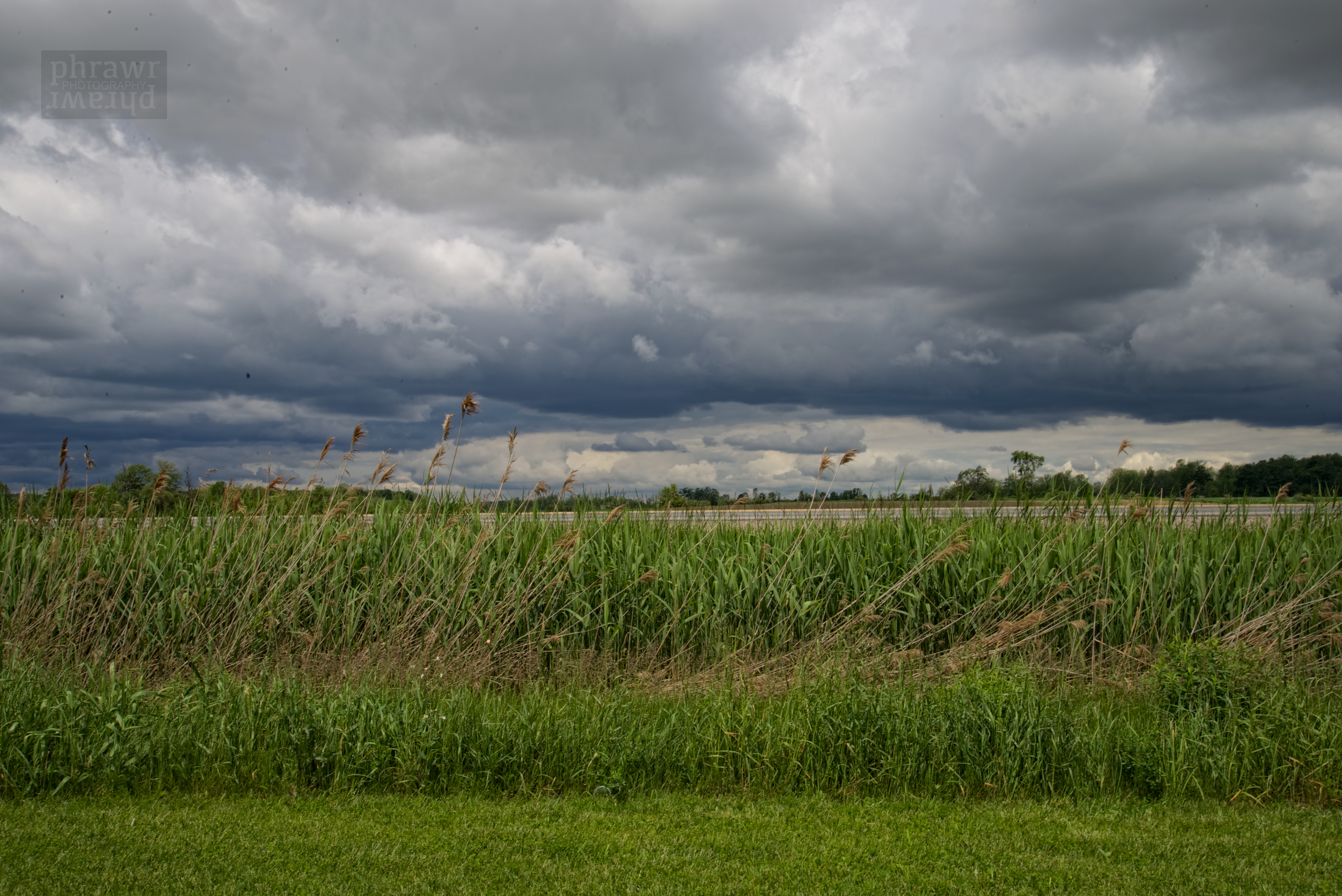
Squall Line in the Distance

Really Late
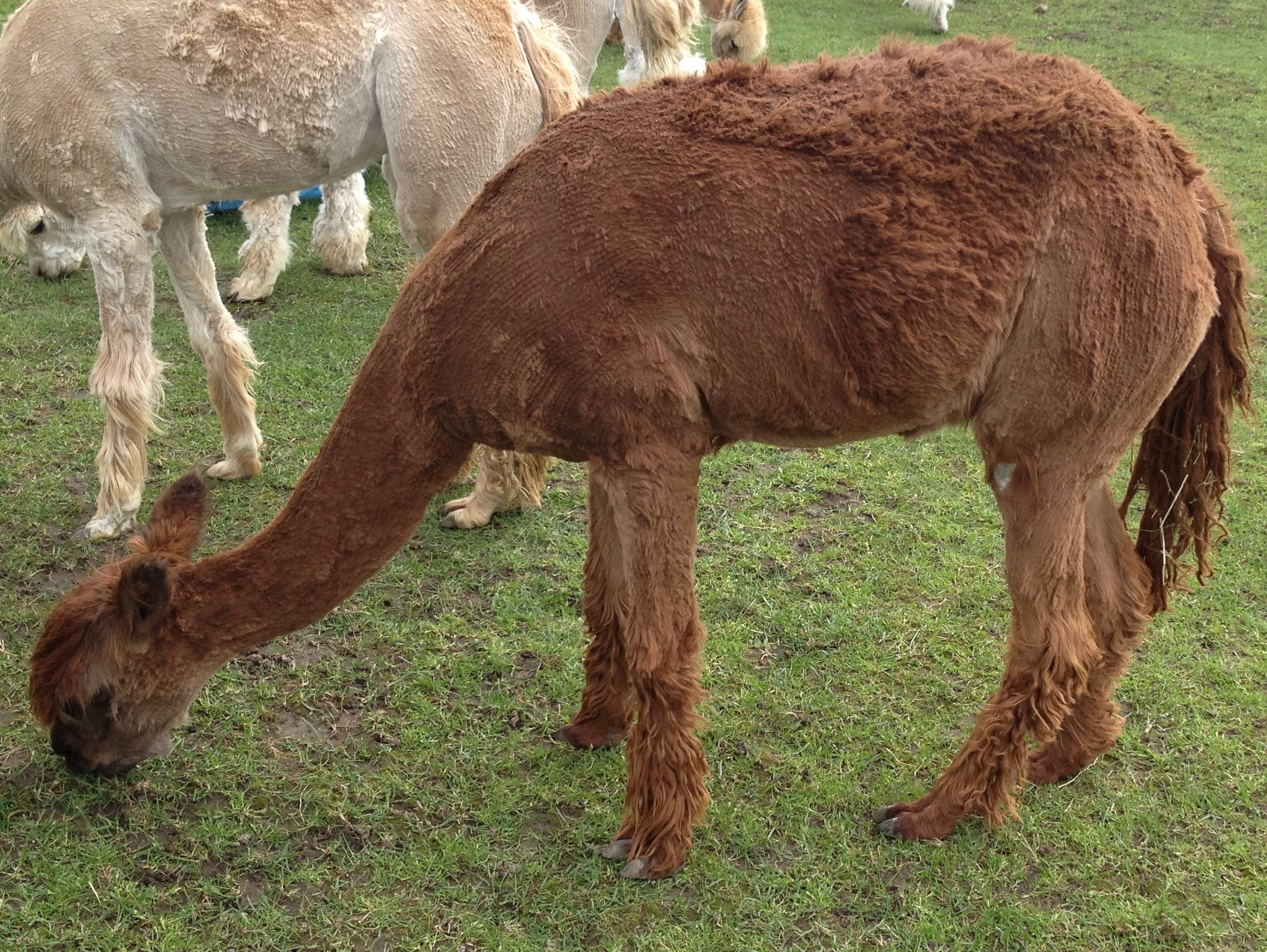
Cinnamon Girl
Wrapped bales
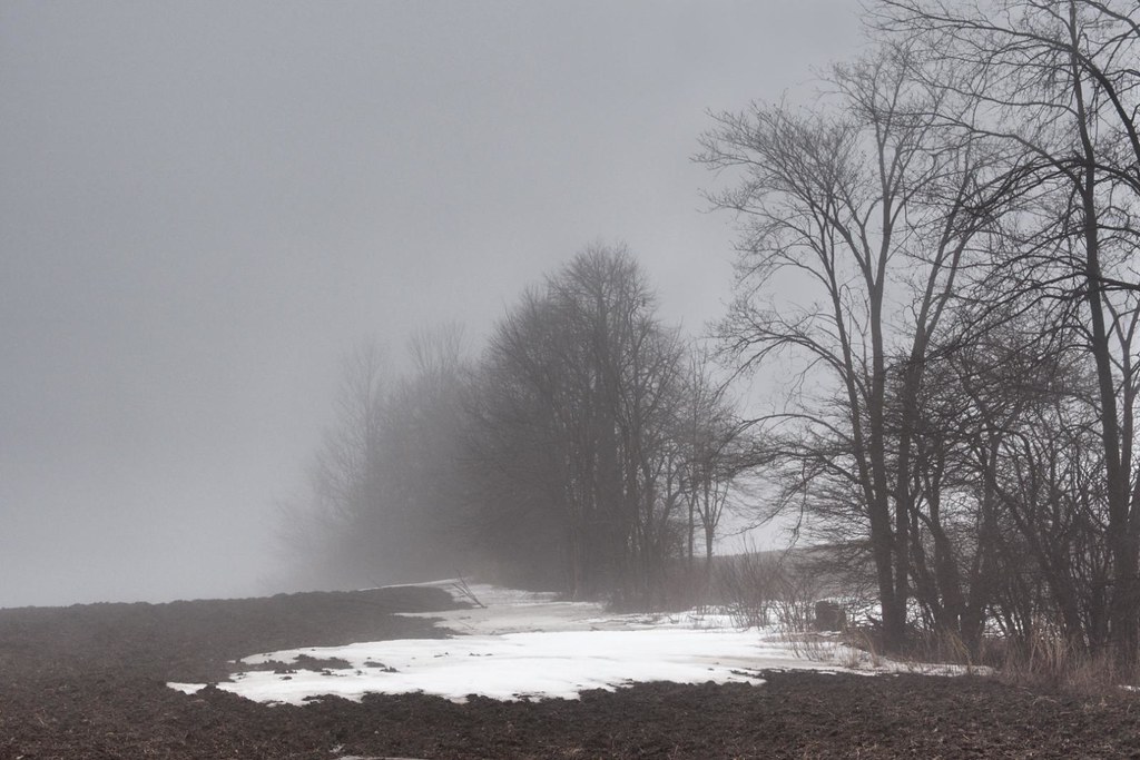
Last of the snow
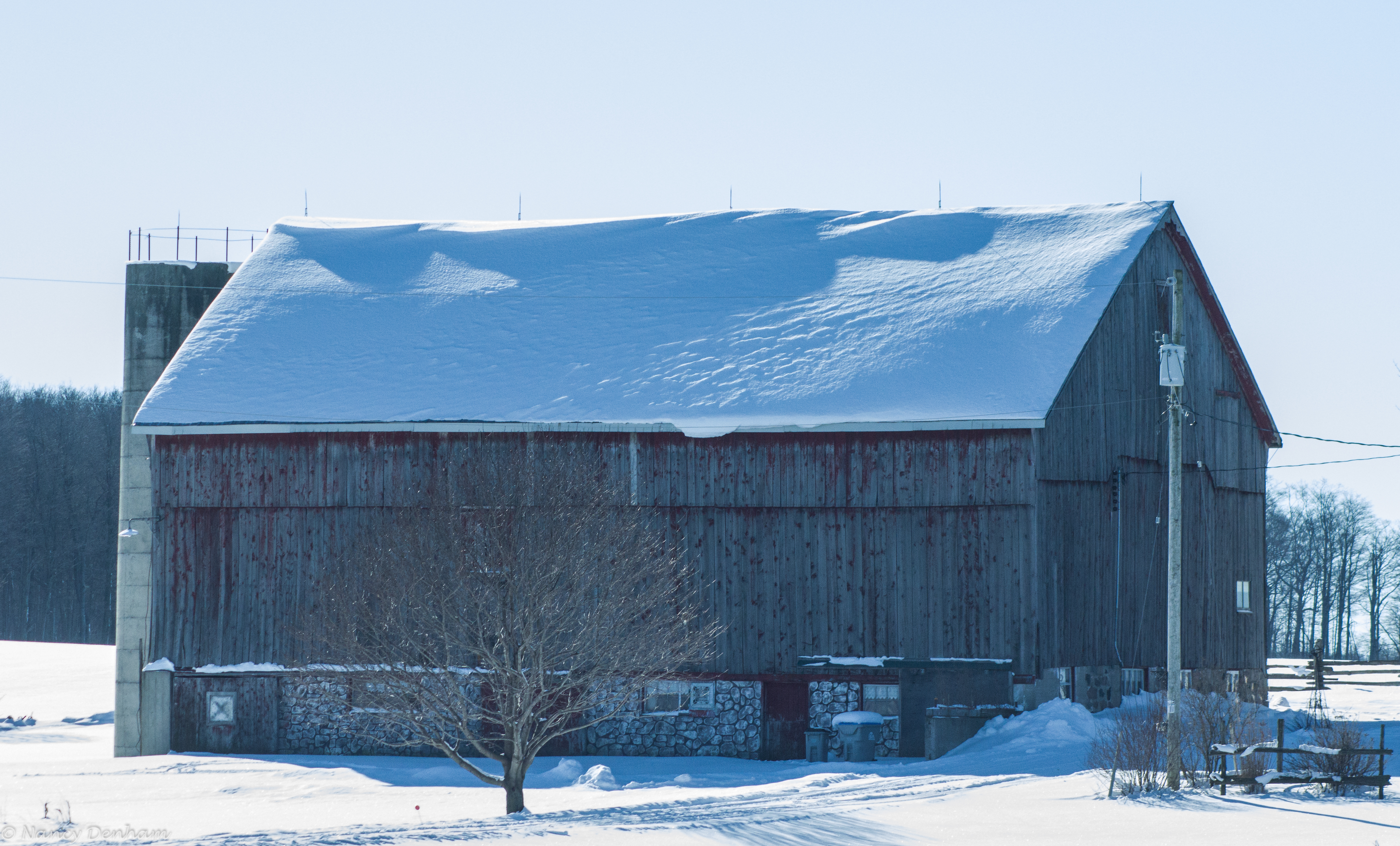
Barn 2
Kempston & Werth Realty Ltd - Palmerston

Kempston & Werth Realty Ltd - Listowel
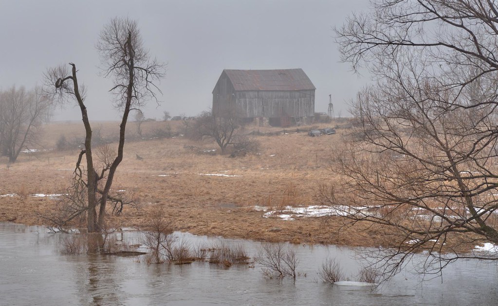
Barn by the Maitland
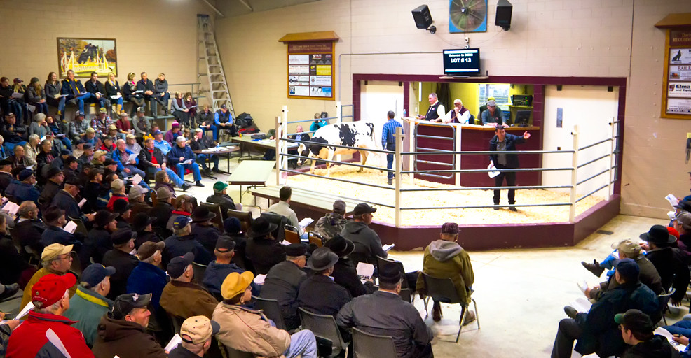
Heifer Sale
Vintage-Train-Engine

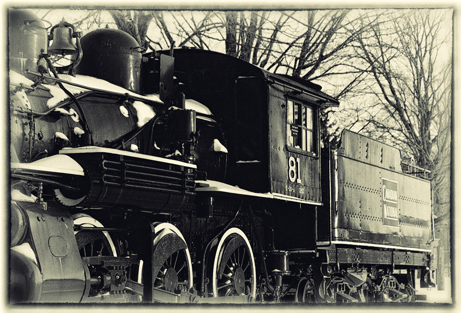
Old 81
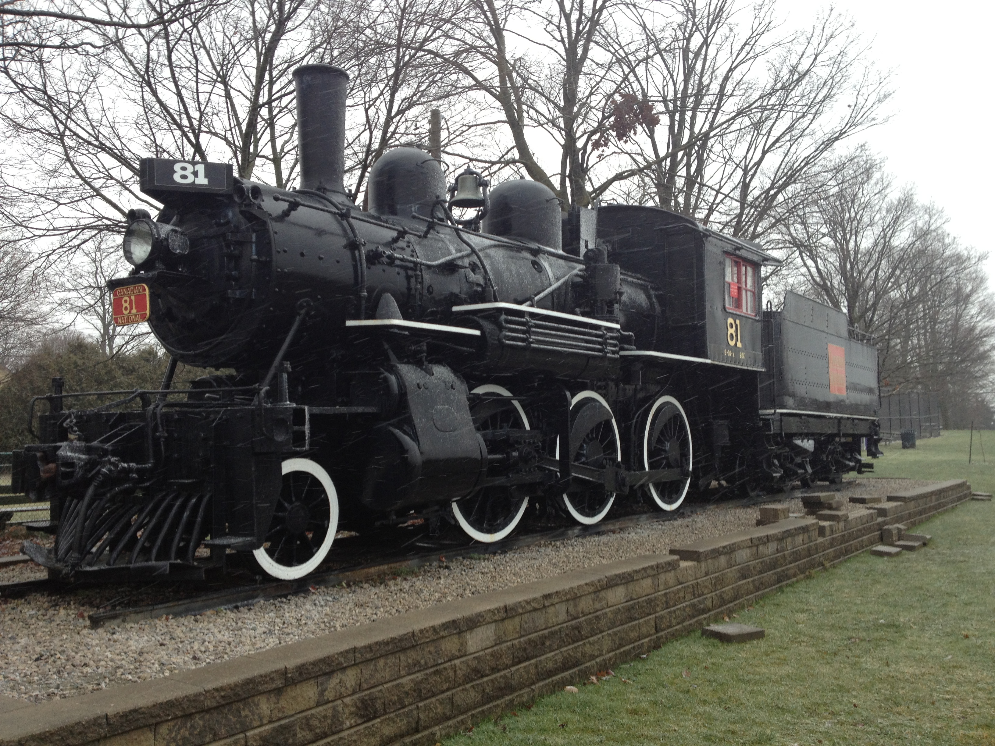
Old 81
Palmerston Ontario
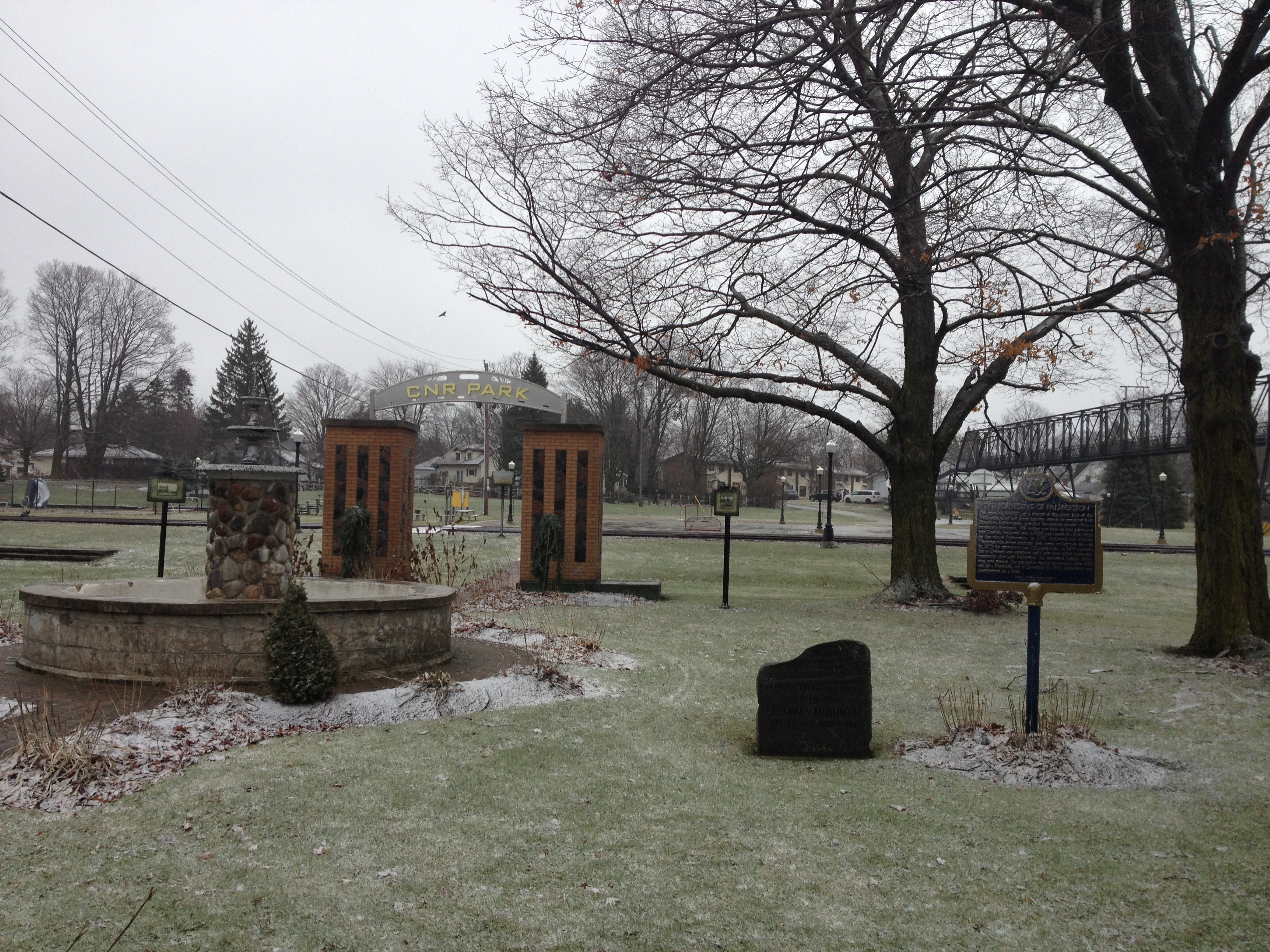
CNR Park, Palmerston Ontario
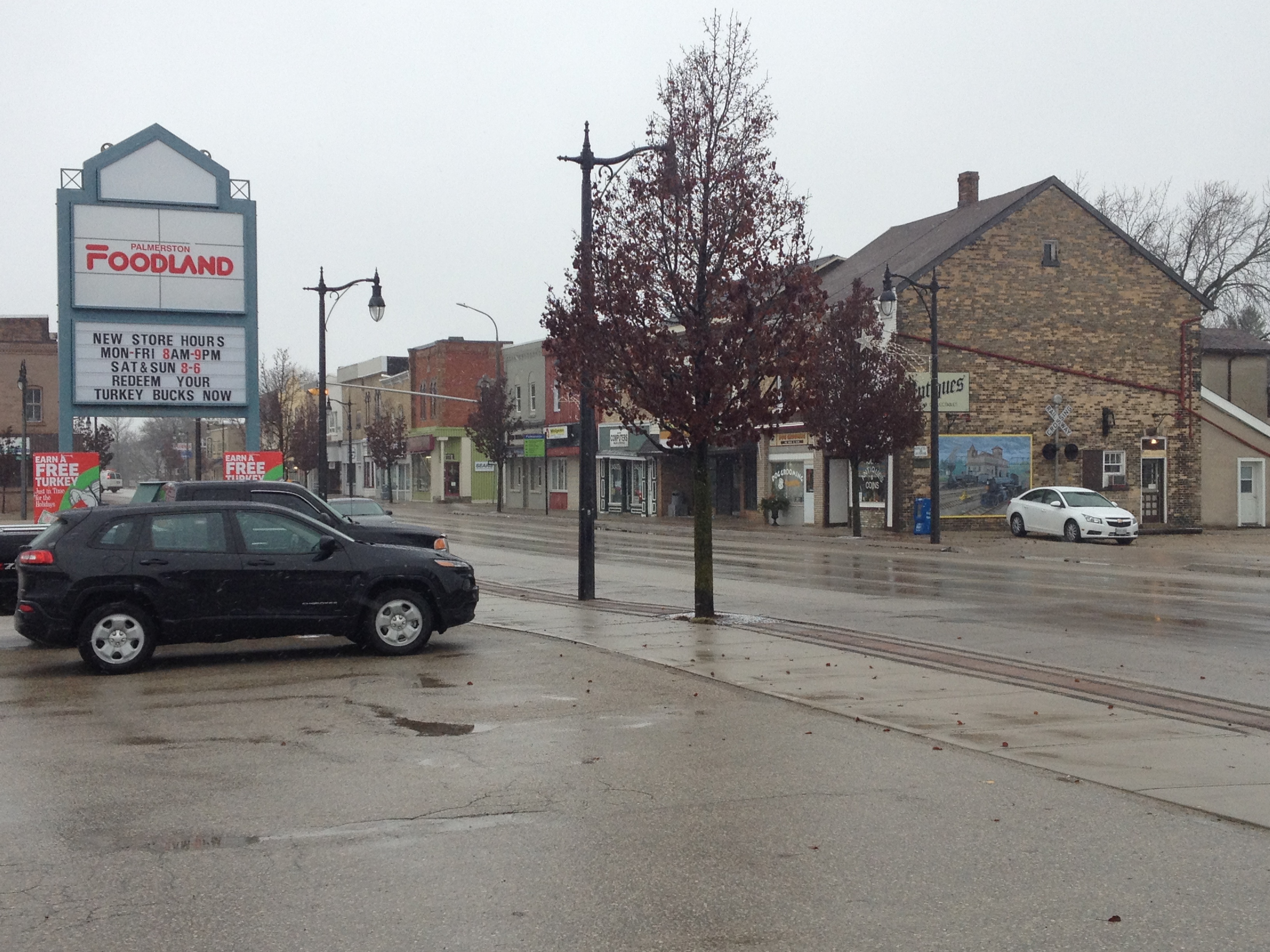
Palmerston Ontario
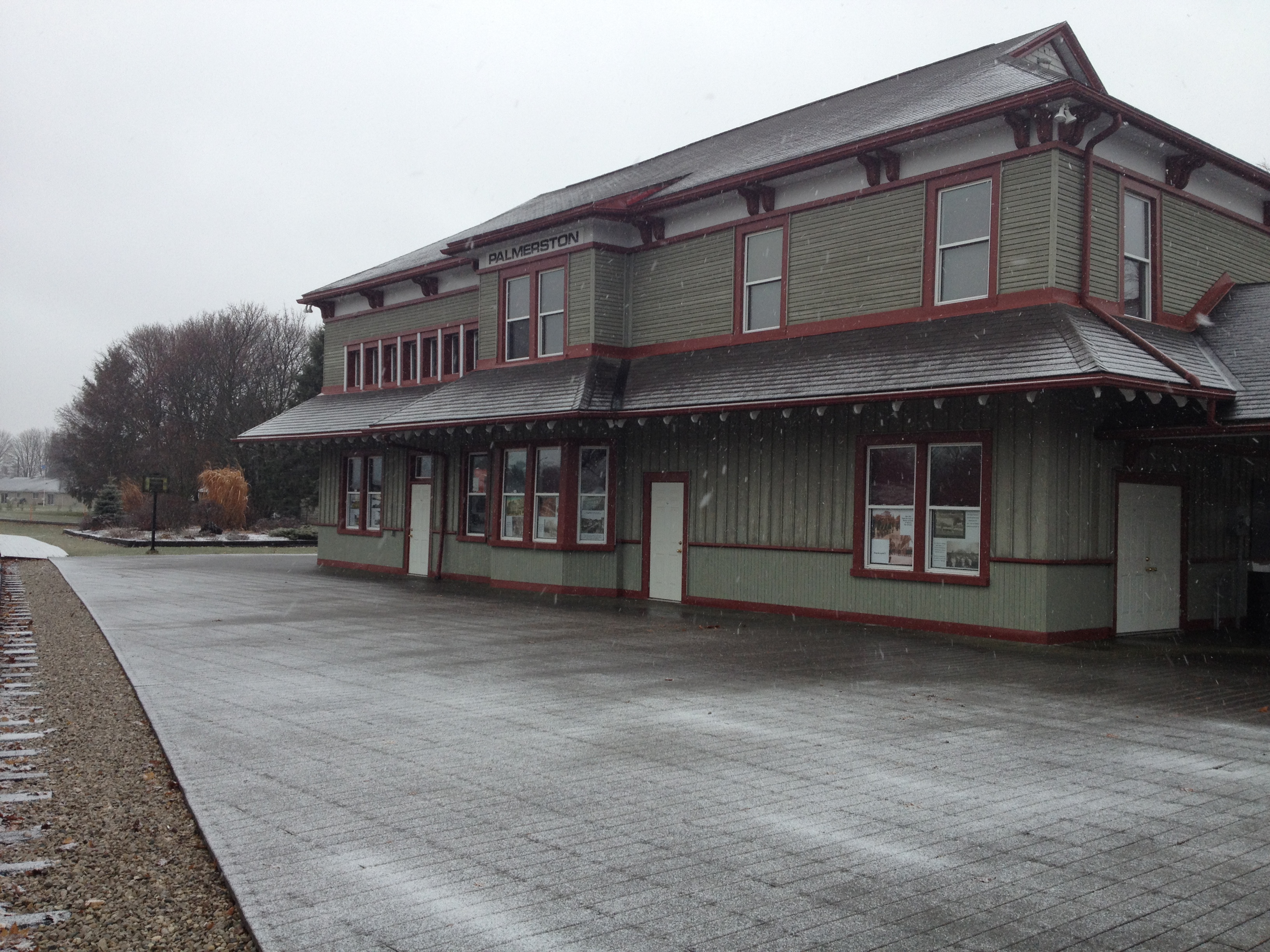
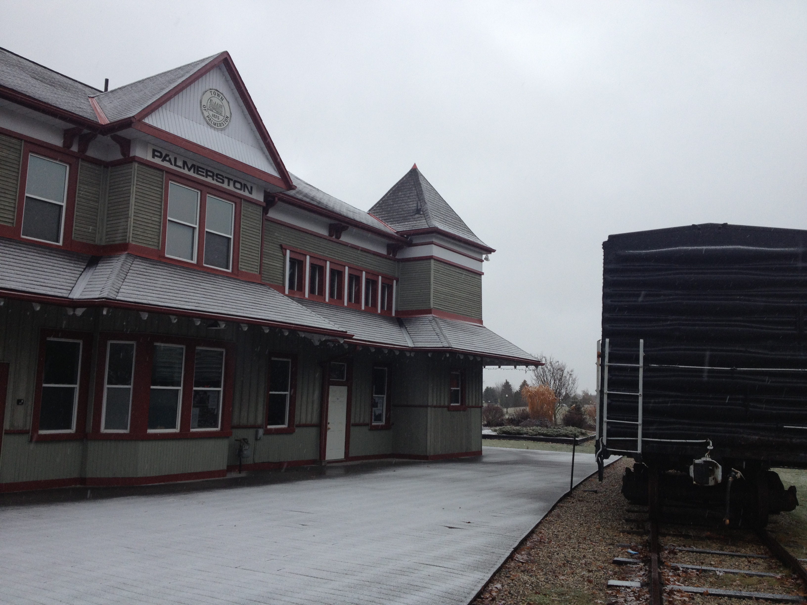
Palmerston Station

Palmerston Station
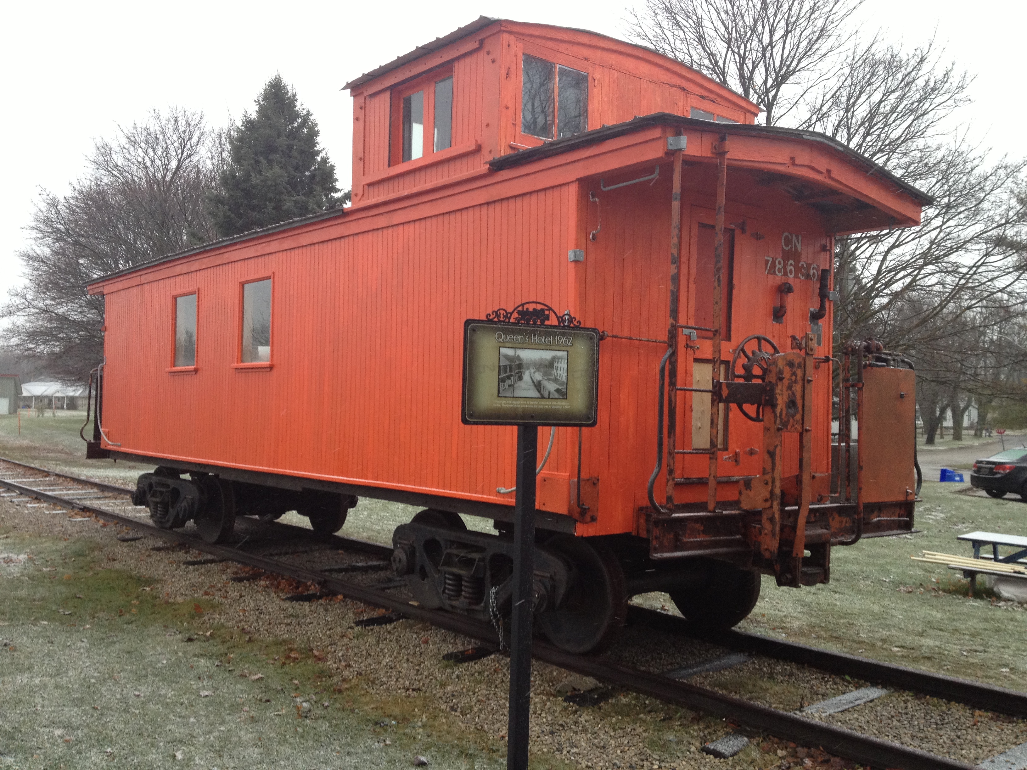
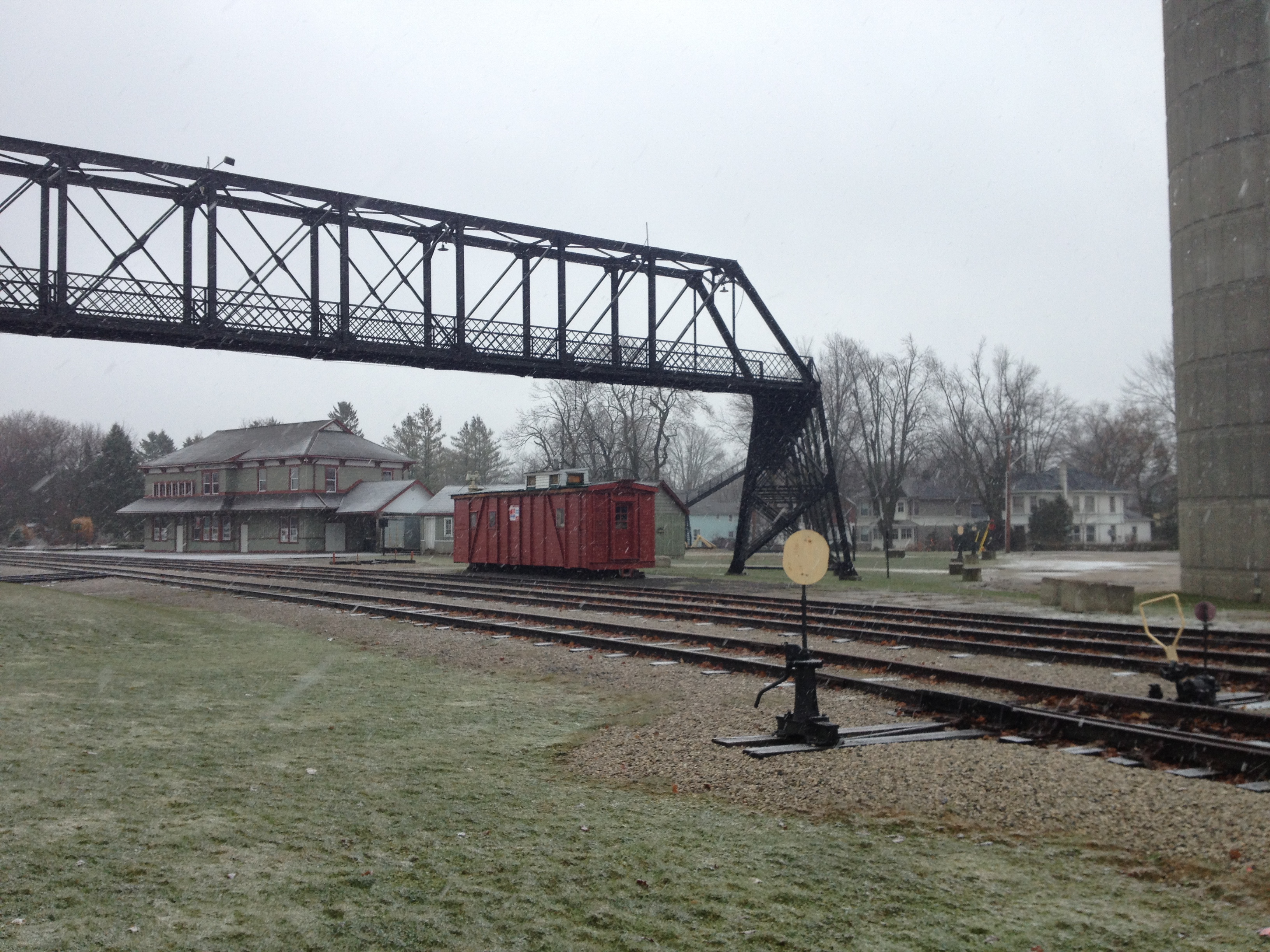
CN Caboose 78636
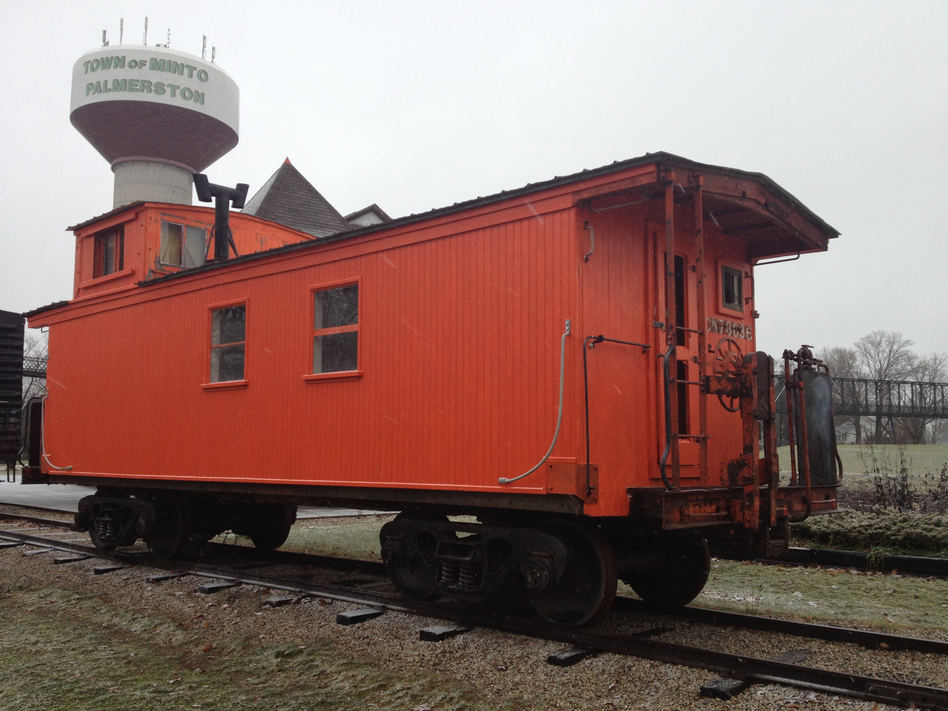
CN Caboose 78636

Canadian National Boxcar
Palmerston Station, Palmerston Ontario

Palmerston Railway Muesum
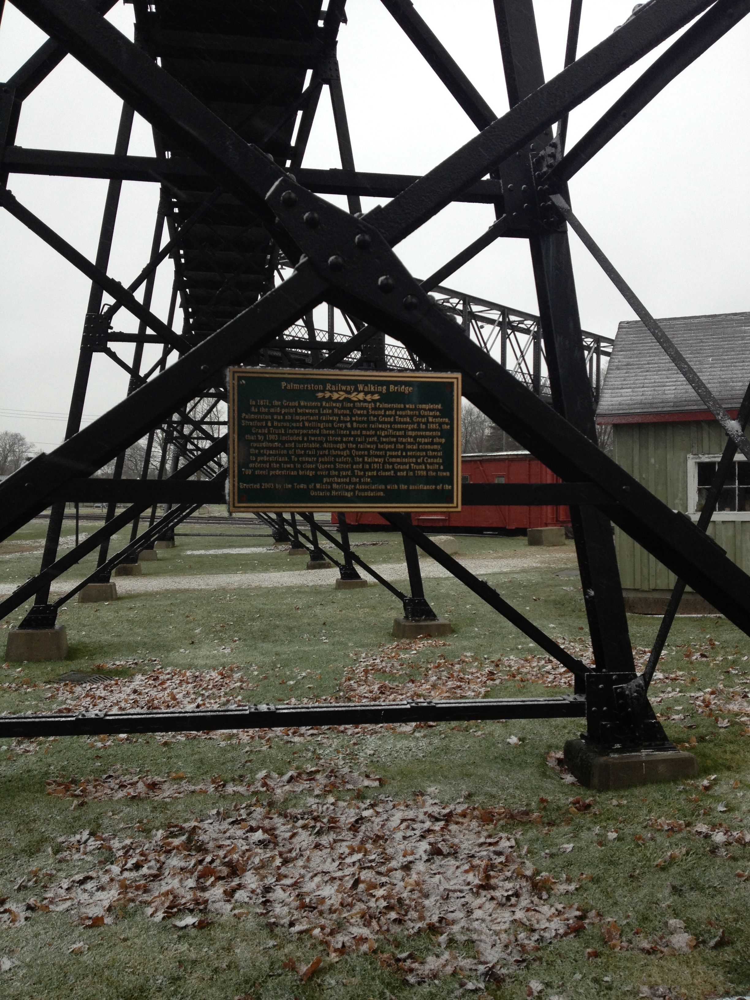
Pedestrian bridge, Palmertson
Topographic Map of Listowel, ON, Canada
Find elevation by address:

Places in Listowel, ON, Canada:
Places near Listowel, ON, Canada:
255 Elizabeth St E
880 Richmond Ave N
886 Richmond Ave N
North Perth
Perth County Rd, Atwood, ON N0G 1B0, Canada
6606 Perth County Line 86
Line 81, Listowel, ON N4W 3G9, Canada
Atwood
Arthur St, Atwood, ON N0G, Canada
Molesworth
Palmerston
Whites Road
48 Wilson St
Harriston
55 King St N, Harriston, ON N0G 1Z0, Canada
24 George St N
24 George St N
24 George St N
8118-8100
Moorefield
Recent Searches:
- Elevation of Corso Fratelli Cairoli, 35, Macerata MC, Italy
- Elevation of Tallevast Rd, Sarasota, FL, USA
- Elevation of 4th St E, Sonoma, CA, USA
- Elevation of Black Hollow Rd, Pennsdale, PA, USA
- Elevation of Oakland Ave, Williamsport, PA, USA
- Elevation of Pedrógão Grande, Portugal
- Elevation of Klee Dr, Martinsburg, WV, USA
- Elevation of Via Roma, Pieranica CR, Italy
- Elevation of Tavkvetili Mountain, Georgia
- Elevation of Hartfords Bluff Cir, Mt Pleasant, SC, USA