Elevation of 55 King St N, Harriston, ON N0G 1Z0, Canada
Location: Canada > Ontario > Wellington County > Minto > Harriston >
Longitude: -80.872259
Latitude: 43.9157249
Elevation: 385m / 1263feet
Barometric Pressure: 97KPa
Elevation Map:
Satellite Map:
Related Photos:
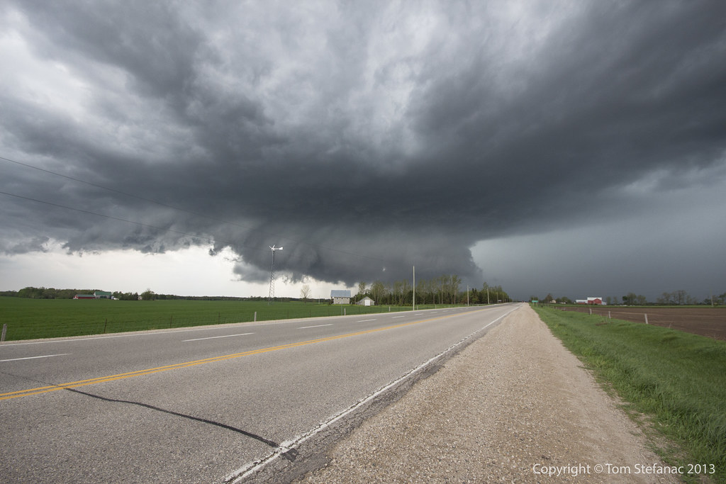
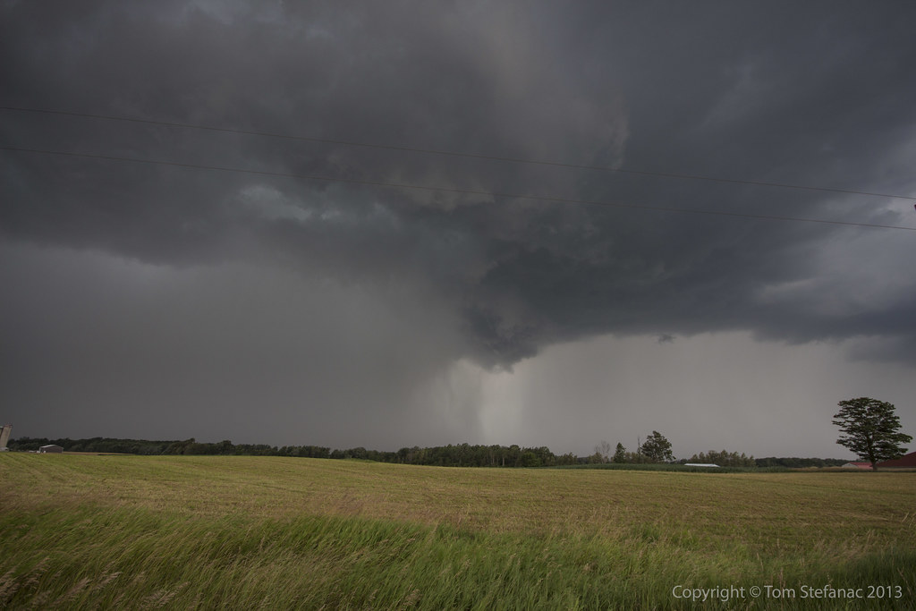
Supercell & Wall Cloud
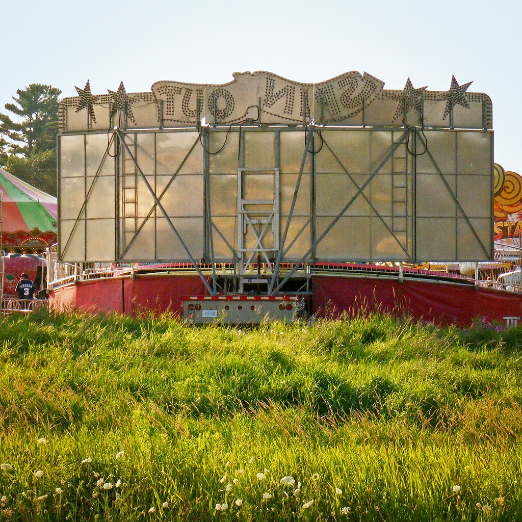
Spin Out Back

Car Show Crowd 1

Car Show Crowd 2
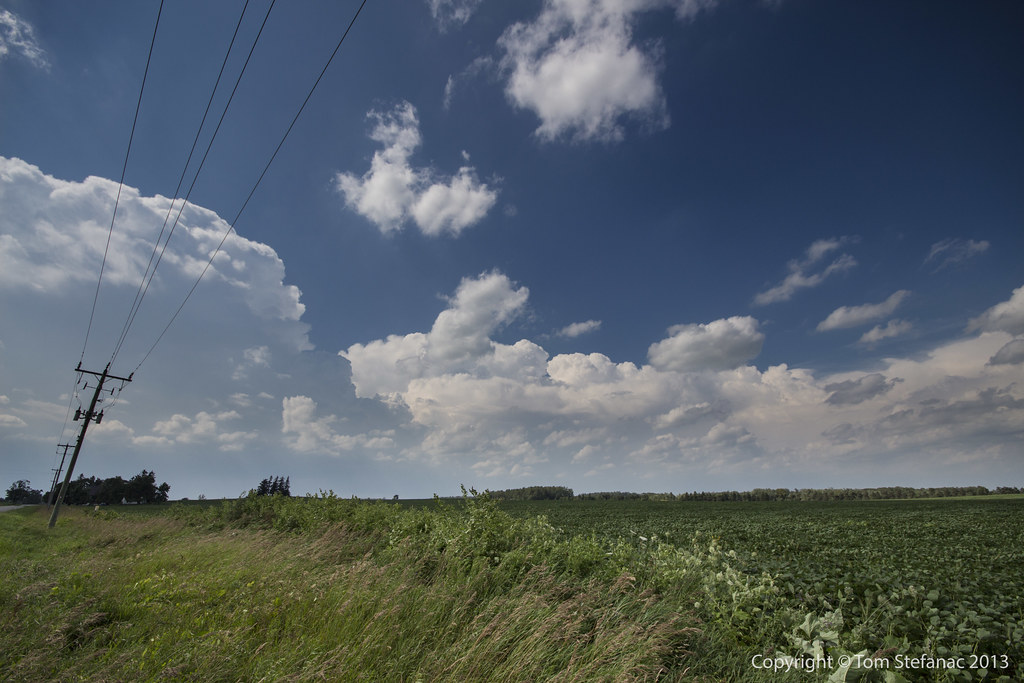
Our View
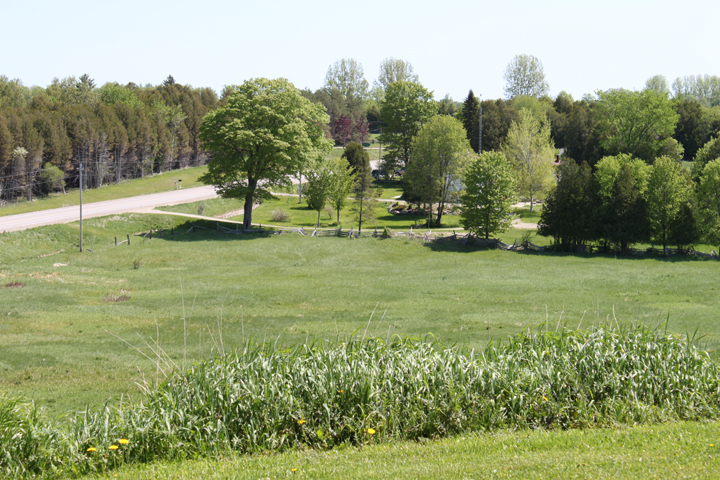
Our View

canola field

Storm #1

Southern Flank
Rainy Core
Squall Line Forming
Squall Line in the Distance
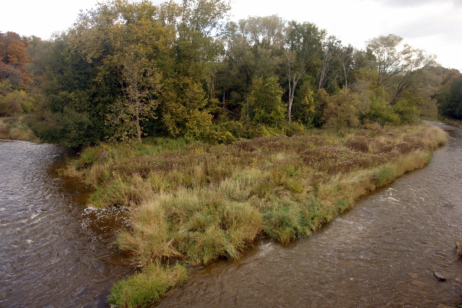
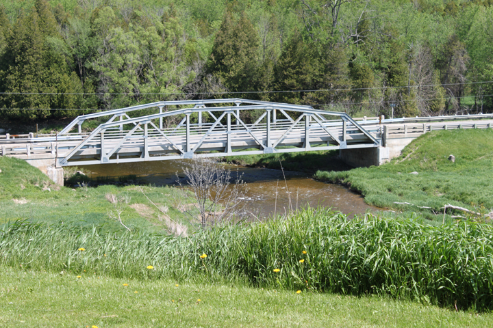
Split River

Cinnamon Girl
Wrapped bales
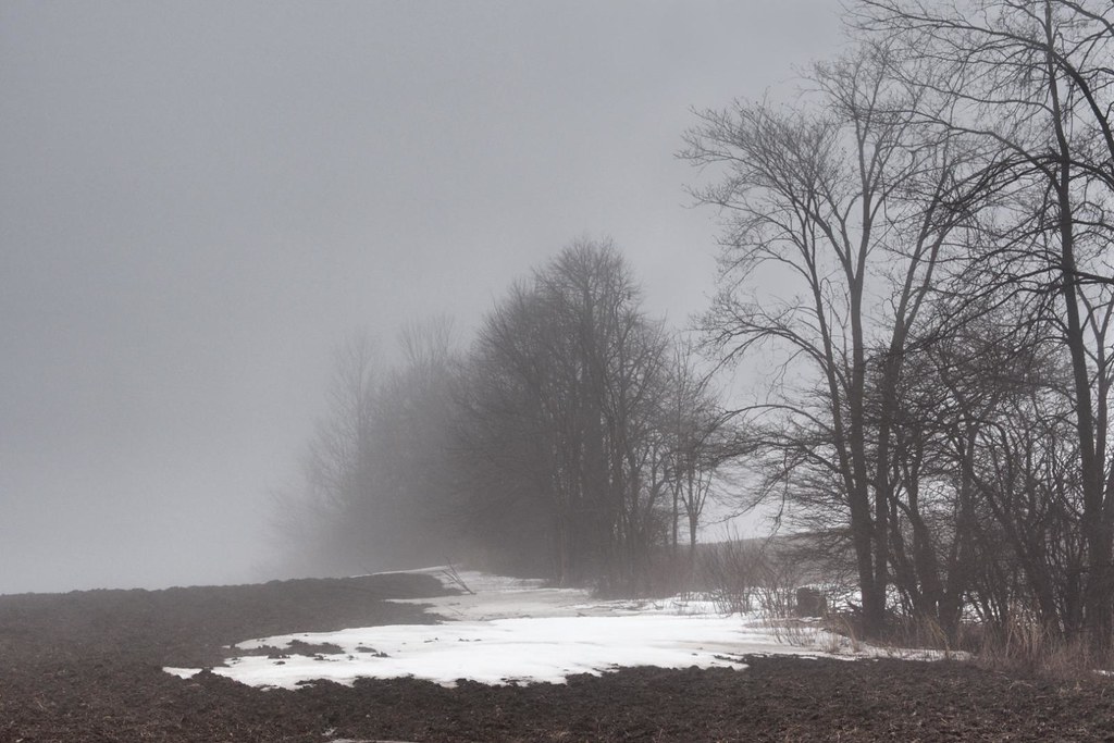
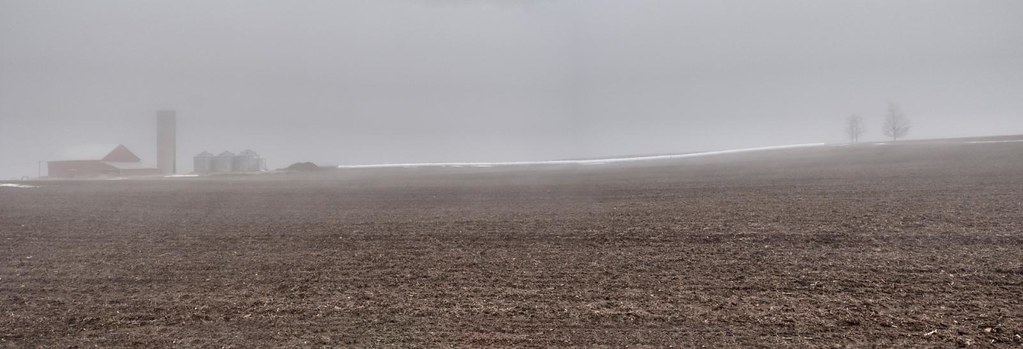
Last of the snow
Topographic Map of 55 King St N, Harriston, ON N0G 1Z0, Canada
Find elevation by address:

Places near 55 King St N, Harriston, ON N0G 1Z0, Canada:
Harriston
24 George St N
24 George St N
24 George St N
48 Wilson St
Minto
Whites Road
Palmerston
42195 Rd 71
Clifford
Wellington Rd, Palmerston, ON N0G 2P0, Canada
160 S Water St
Mount Forest
8610 Concession Rd 12
Fergus Street North
Walsh's Ida Pharmacy
North Perth
7268 Side Rd 6
7268 Side Rd 6
Holstein
Recent Searches:
- Elevation of Shibuya Scramble Crossing, 21 Udagawacho, Shibuya City, Tokyo -, Japan
- Elevation of Jadagoniai, Kaunas District Municipality, Lithuania
- Elevation of Pagonija rock, Kranto 7-oji g. 8"N, Kaunas, Lithuania
- Elevation of Co Rd 87, Jamestown, CO, USA
- Elevation of Tenjo, Cundinamarca, Colombia
- Elevation of Côte-des-Neiges, Montreal, QC H4A 3J6, Canada
- Elevation of Bobcat Dr, Helena, MT, USA
- Elevation of Zu den Ihlowbergen, Althüttendorf, Germany
- Elevation of Badaber, Peshawar, Khyber Pakhtunkhwa, Pakistan
- Elevation of SE Heron Loop, Lincoln City, OR, USA