Elevation of Turnberry St, Wingham, ON N0G 2W0, Canada
Location: Canada > Ontario > Huron County > Huron East > Brussels >
Longitude: -81.247368
Latitude: 43.7473723
Elevation: 340m / 1115feet
Barometric Pressure: 97KPa
Elevation Map:
Satellite Map:
Related Photos:
last sunrise
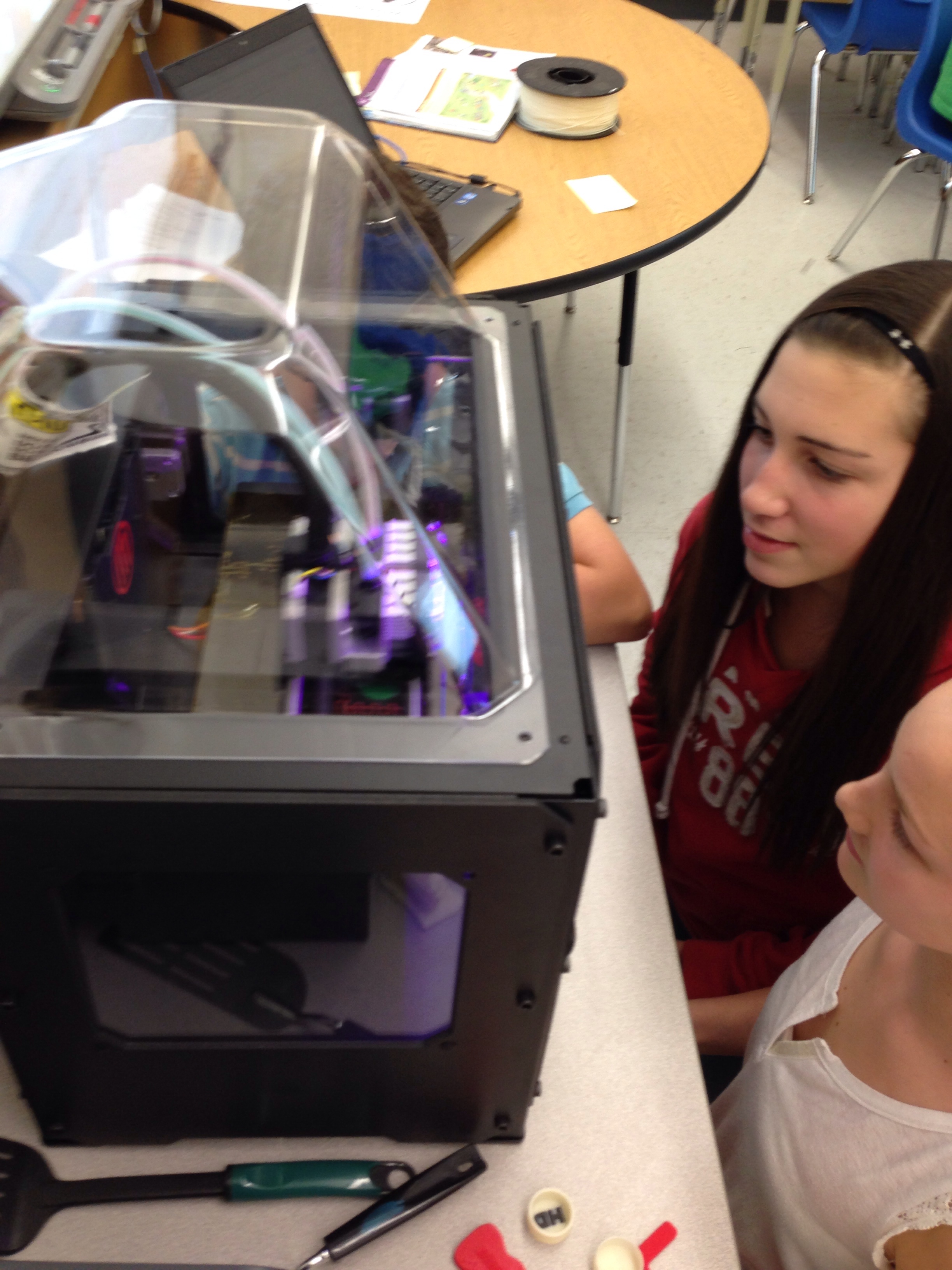
Day 337: Anticipating the .stl file @Makerbot

Day 160: It's not what you think
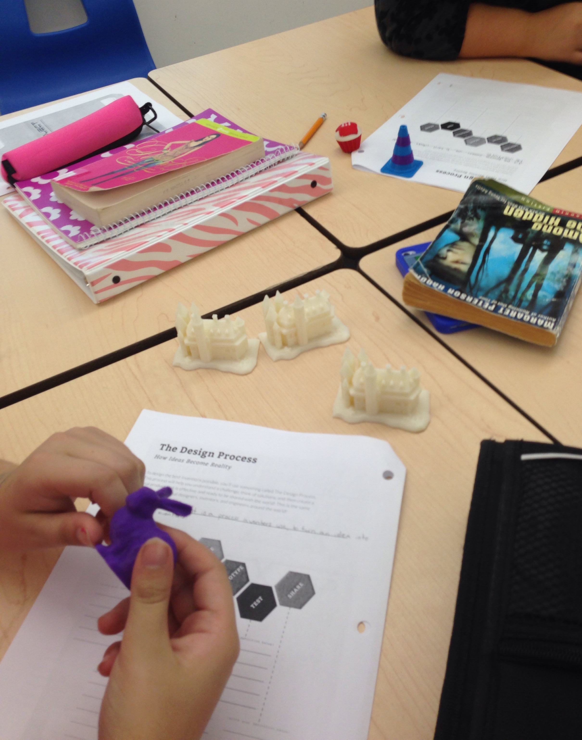
Day 1 City X Design Project
Alice Munro 2016 (2 of 8)
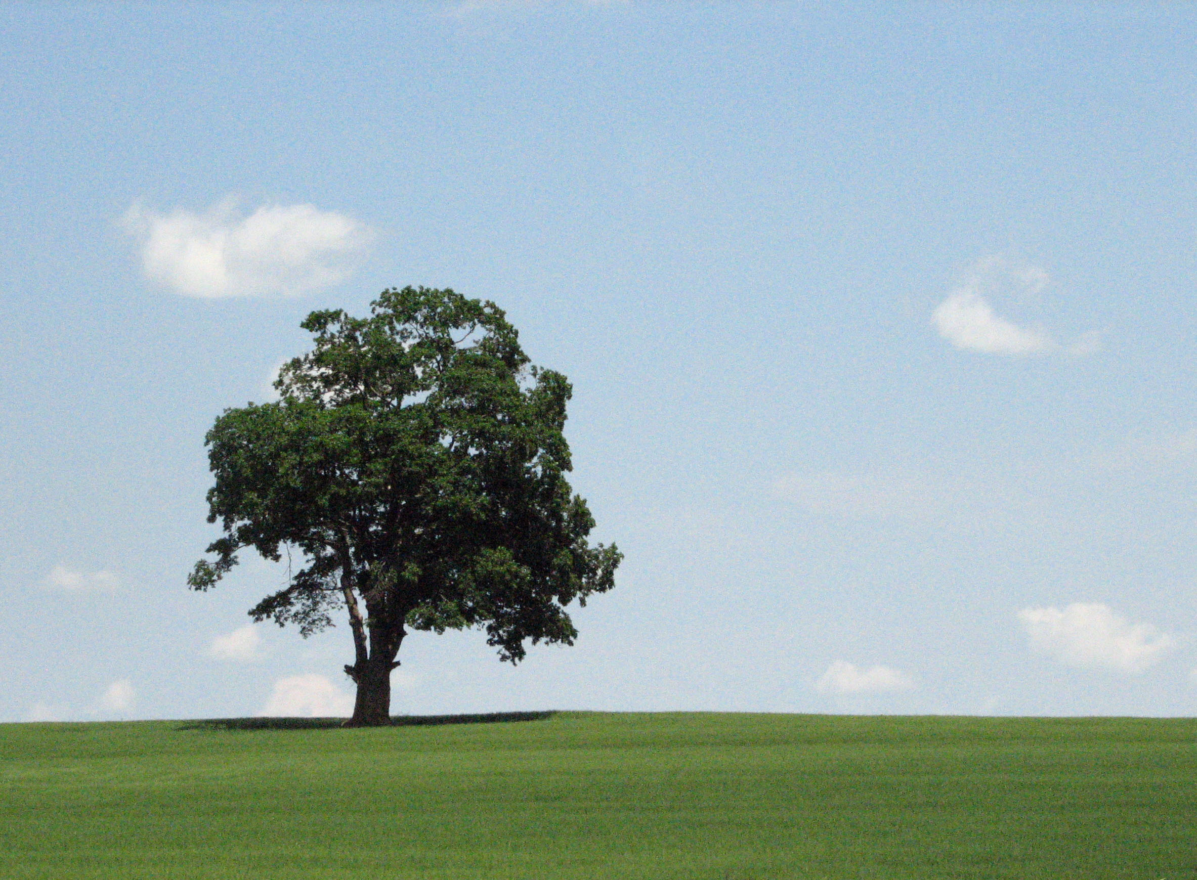
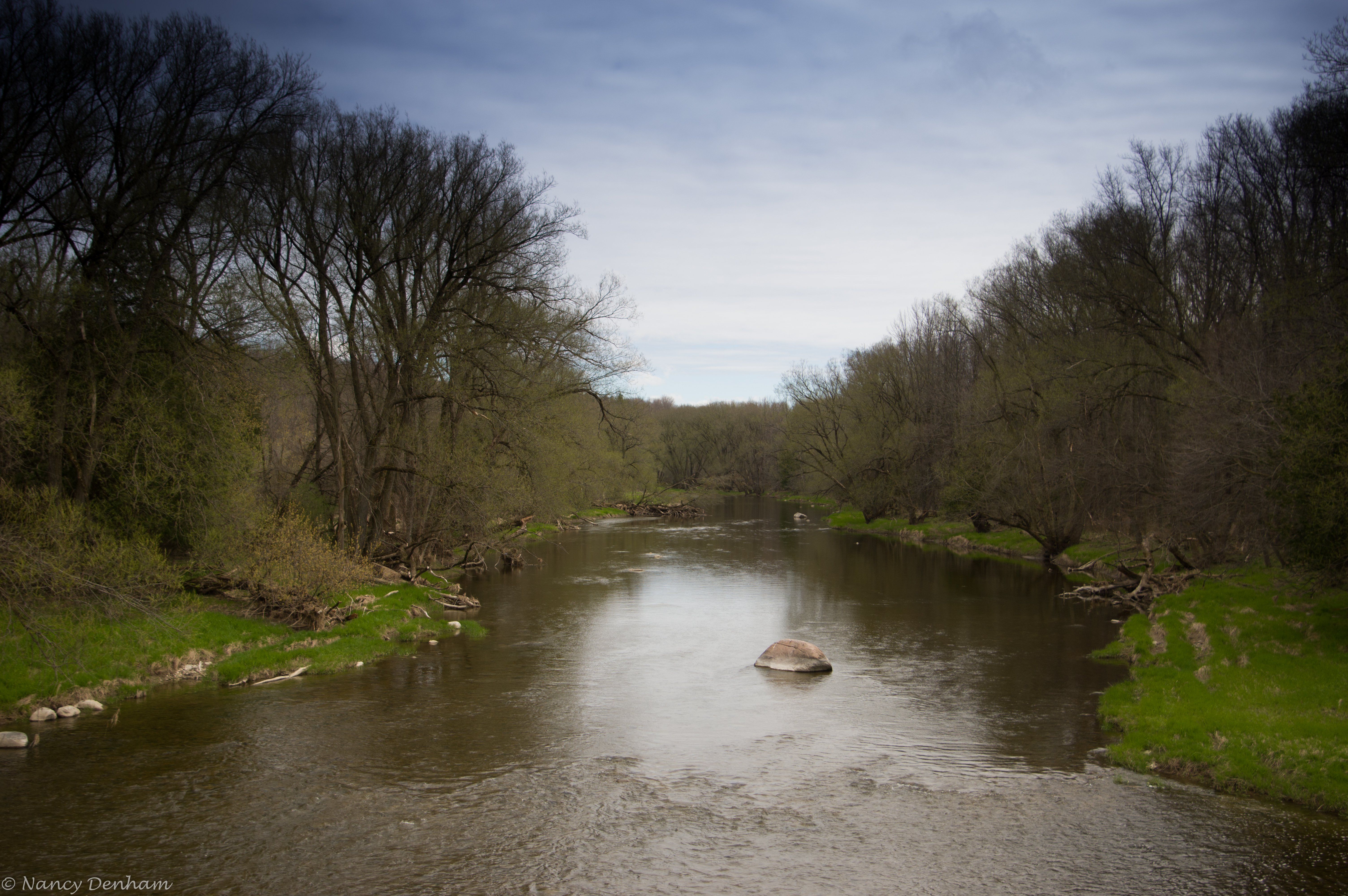
orange hill road
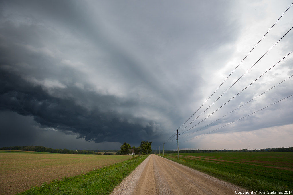
20140905-_E1A8934.jpg
Whales Mouth

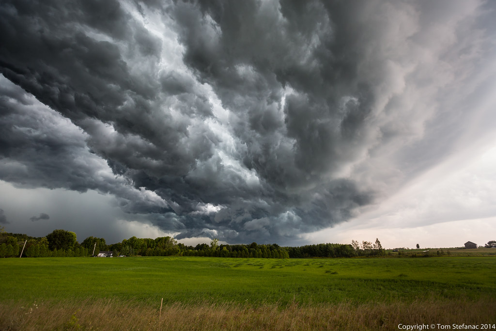
20140905-_E1A8946.jpg
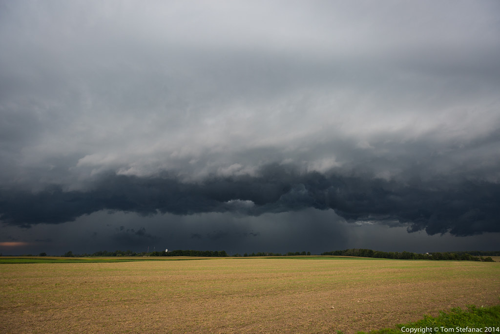
20140905-_E1A8929.jpg

Stooks of hay ~ after a long, hard, hot summer day's labour.
20140905-_E1A8941.jpg
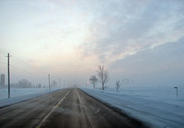
lonely road this morning
More Contrast
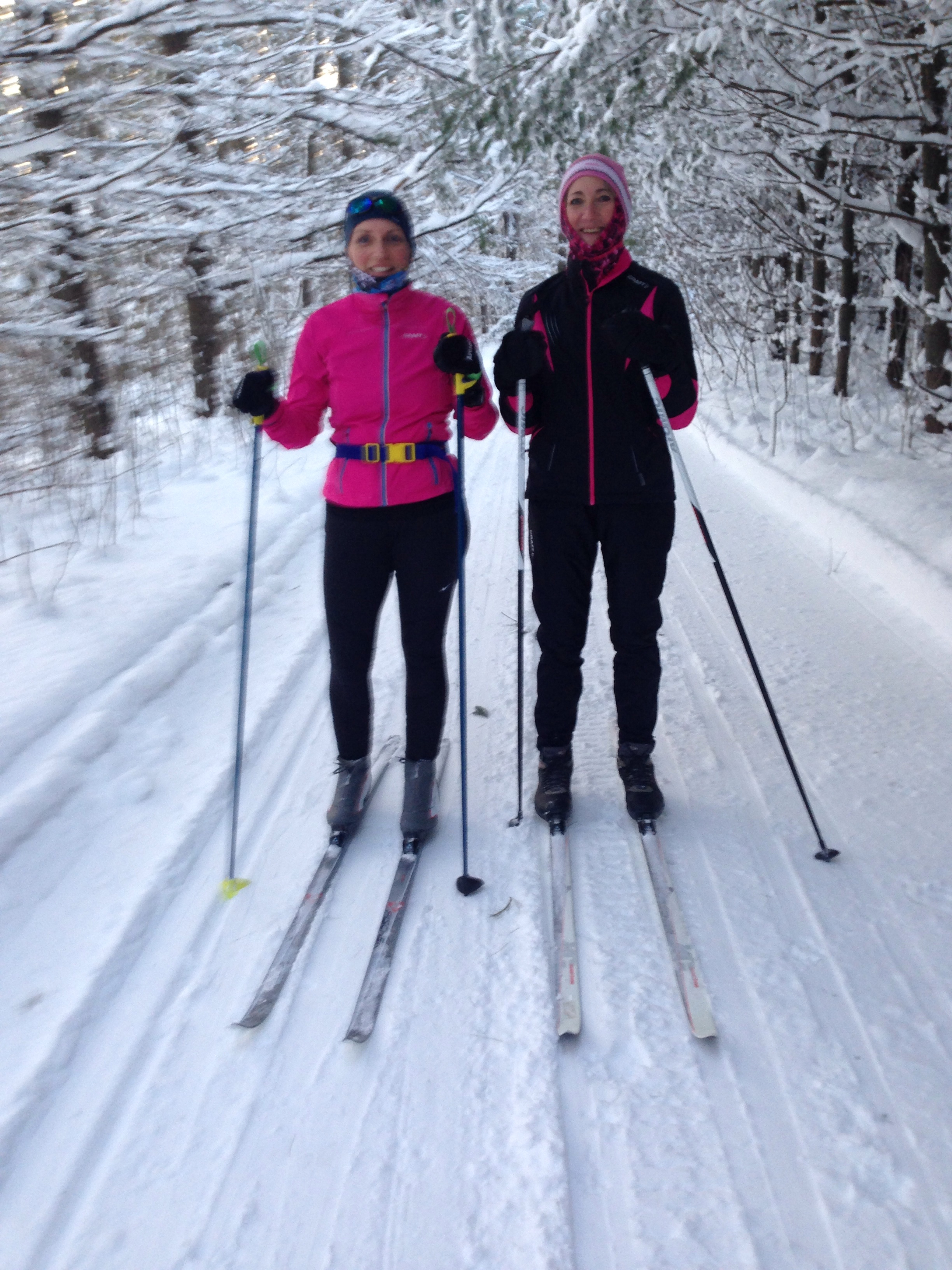
Day 9: After-school ski on a dog sled trail
Day 163: Planks
Bluevale (1 of 24)

0310_2.ajpg

Bluevale (13 of 24)
Topographic Map of Turnberry St, Wingham, ON N0G 2W0, Canada
Find elevation by address:

Places near Turnberry St, Wingham, ON N0G 2W0, Canada:
250 Turnberry St
250 Turnberry St
250 Turnberry St
250 Turnberry St
250 Turnberry St
Brussels
41217 St Michaels Rd
Huron East
Blyth
83343 Scott Line
Victoria St, Londesborough, ON N0M 2H0, Canada
Londesborough
Central Huron
Friends Of Hullett
Clinton
5 Albert St, Clinton, ON N0M 1L0, Canada
38 Victoria St
38 Victoria St
38 Victoria St
38 Victoria St
Recent Searches:
- Elevation of Shibuya Scramble Crossing, 21 Udagawacho, Shibuya City, Tokyo -, Japan
- Elevation of Jadagoniai, Kaunas District Municipality, Lithuania
- Elevation of Pagonija rock, Kranto 7-oji g. 8"N, Kaunas, Lithuania
- Elevation of Co Rd 87, Jamestown, CO, USA
- Elevation of Tenjo, Cundinamarca, Colombia
- Elevation of Côte-des-Neiges, Montreal, QC H4A 3J6, Canada
- Elevation of Bobcat Dr, Helena, MT, USA
- Elevation of Zu den Ihlowbergen, Althüttendorf, Germany
- Elevation of Badaber, Peshawar, Khyber Pakhtunkhwa, Pakistan
- Elevation of SE Heron Loop, Lincoln City, OR, USA