Elevation of 38 Victoria St, Londesborough, ON N0M 2H0, Canada
Location: Canada > Ontario > Huron County > Central Huron > Londesborough >
Longitude: -81.539370
Latitude: 43.6157069
Elevation: 286m / 938feet
Barometric Pressure: 98KPa
Elevation Map:
Satellite Map:
Related Photos:
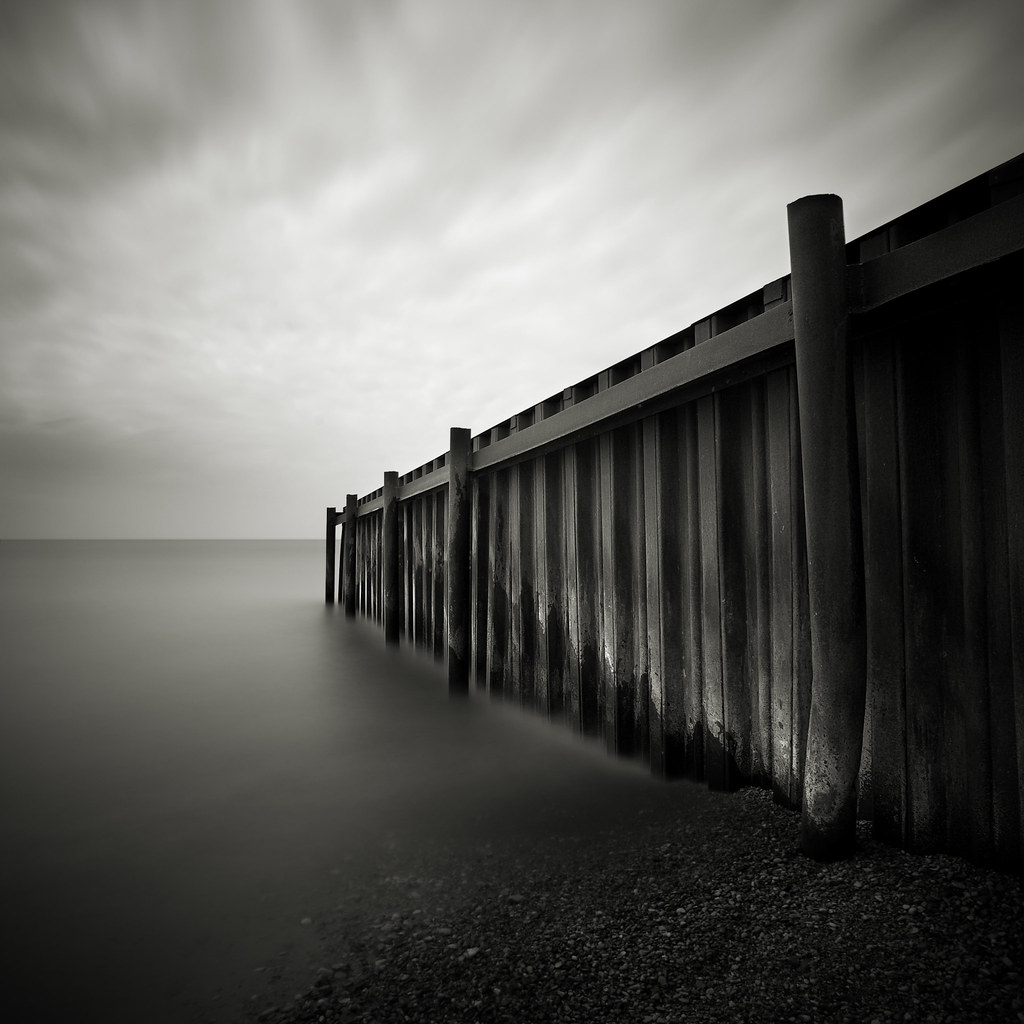
Steel Jetty
Scenic Haiku
laweczka /bench
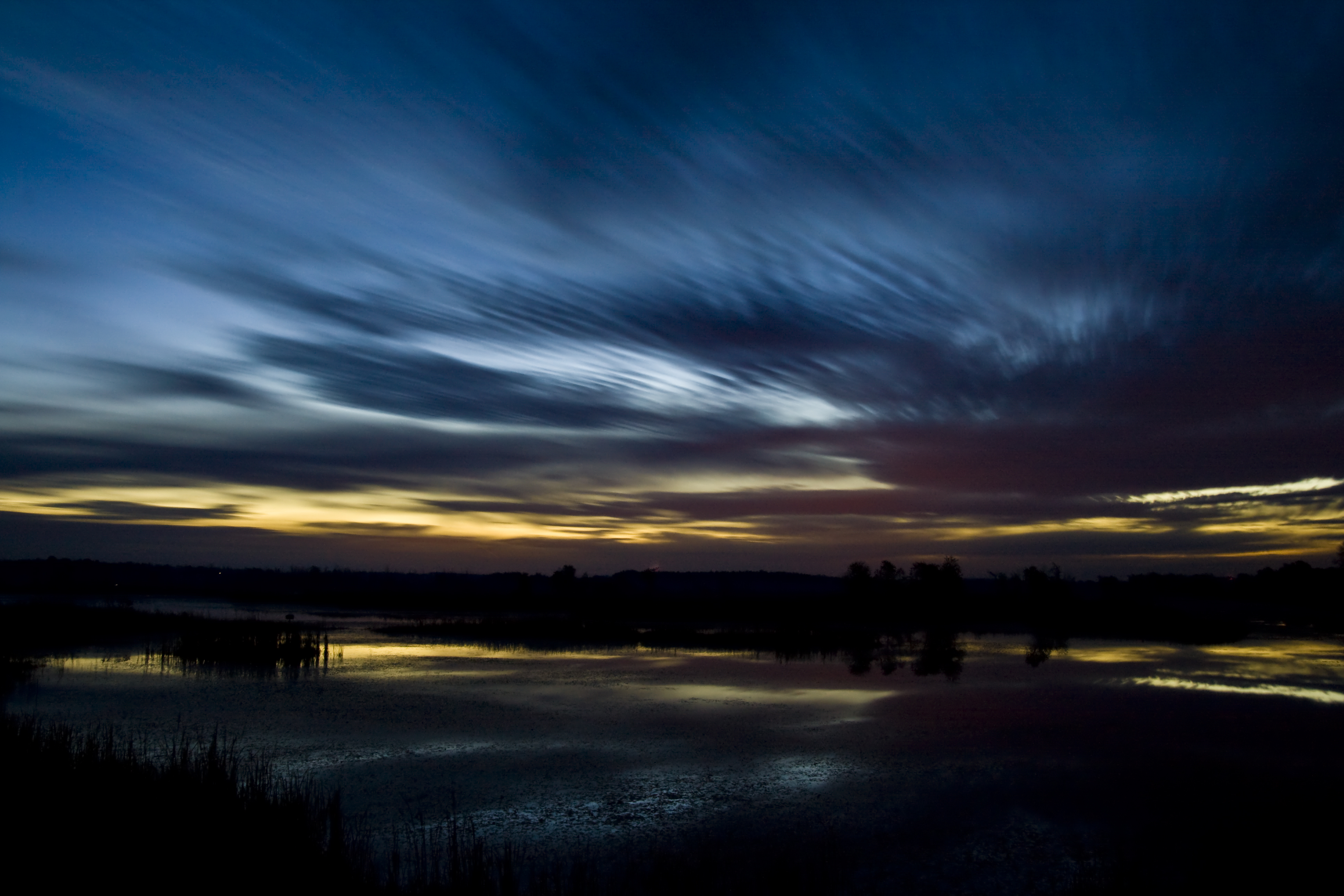
Half hour before sunrise - 2 minute exposure
The Bayfield Harbour
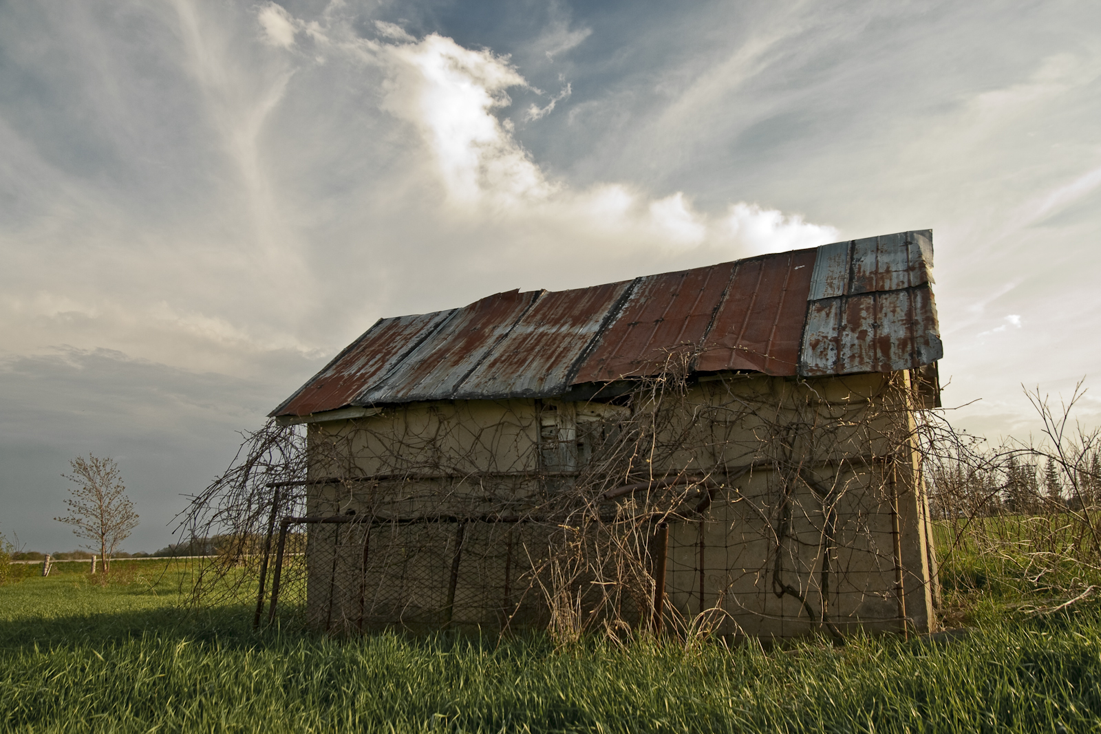
Abandoned Wellhouse
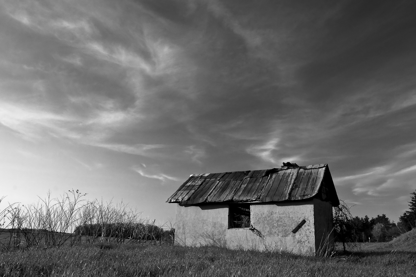
Wellhouse in Grey
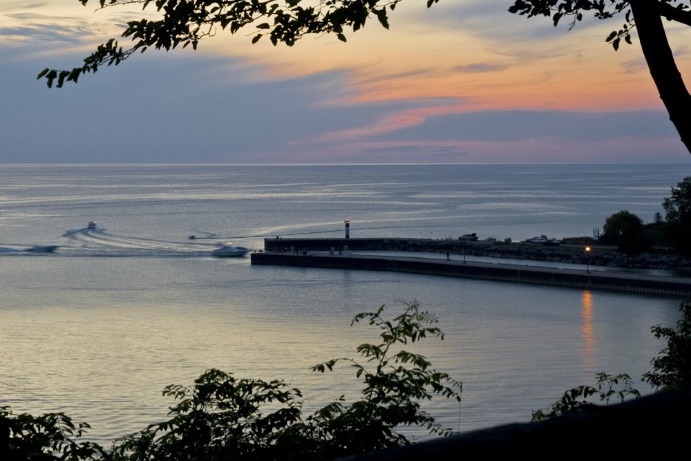
Bayfield Harbour

Empty Husk
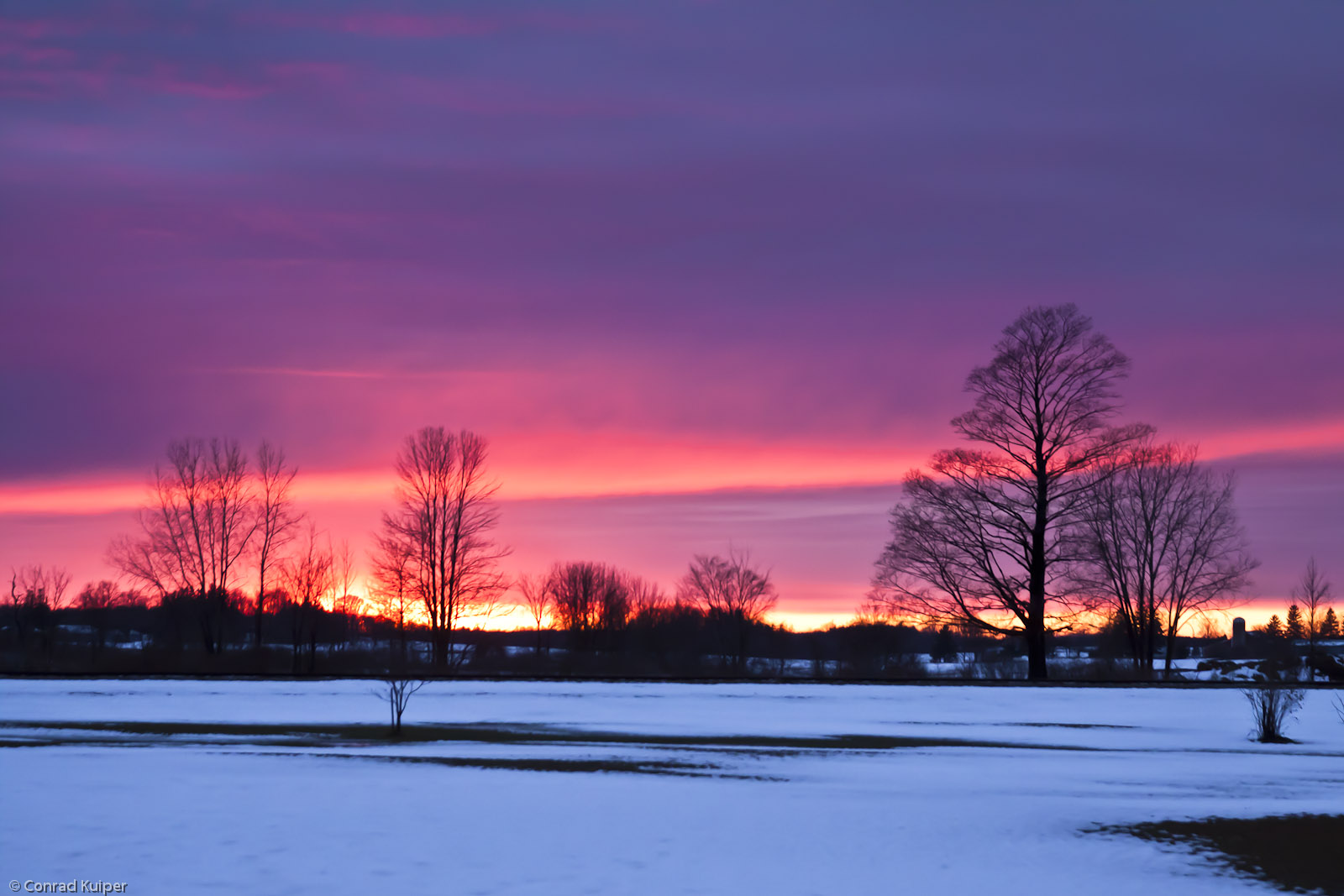
New Year's Day Sunset
Bayfield, Ontario
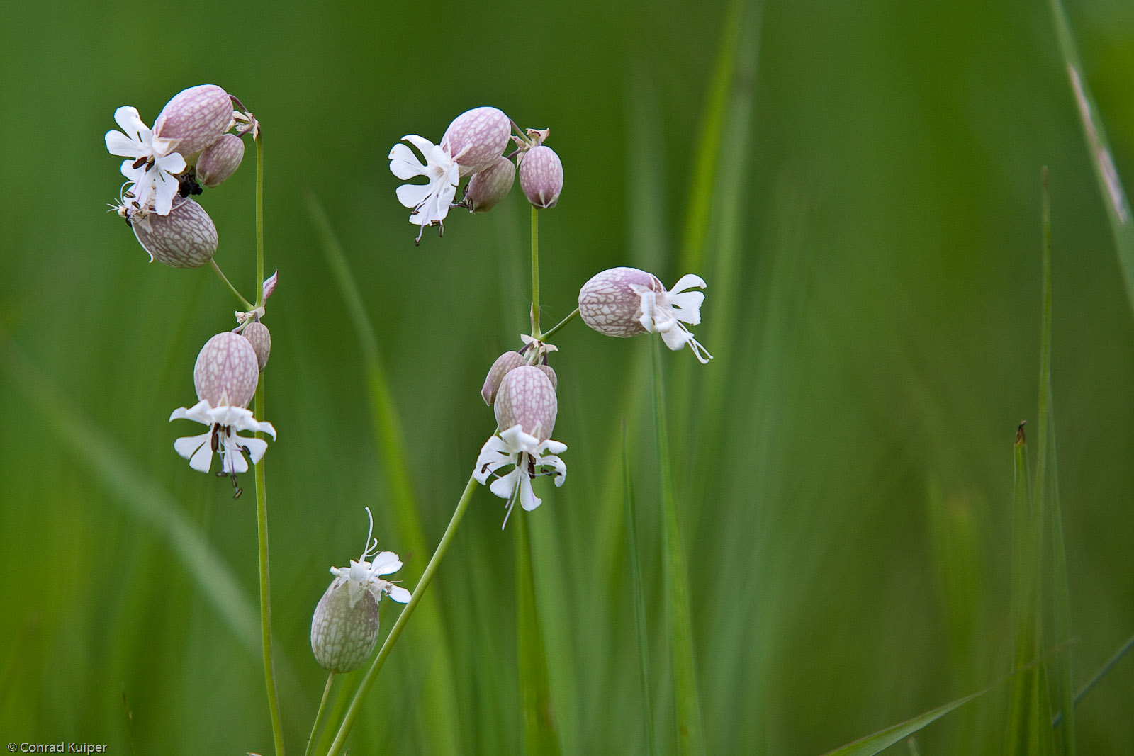
Bladder Campion
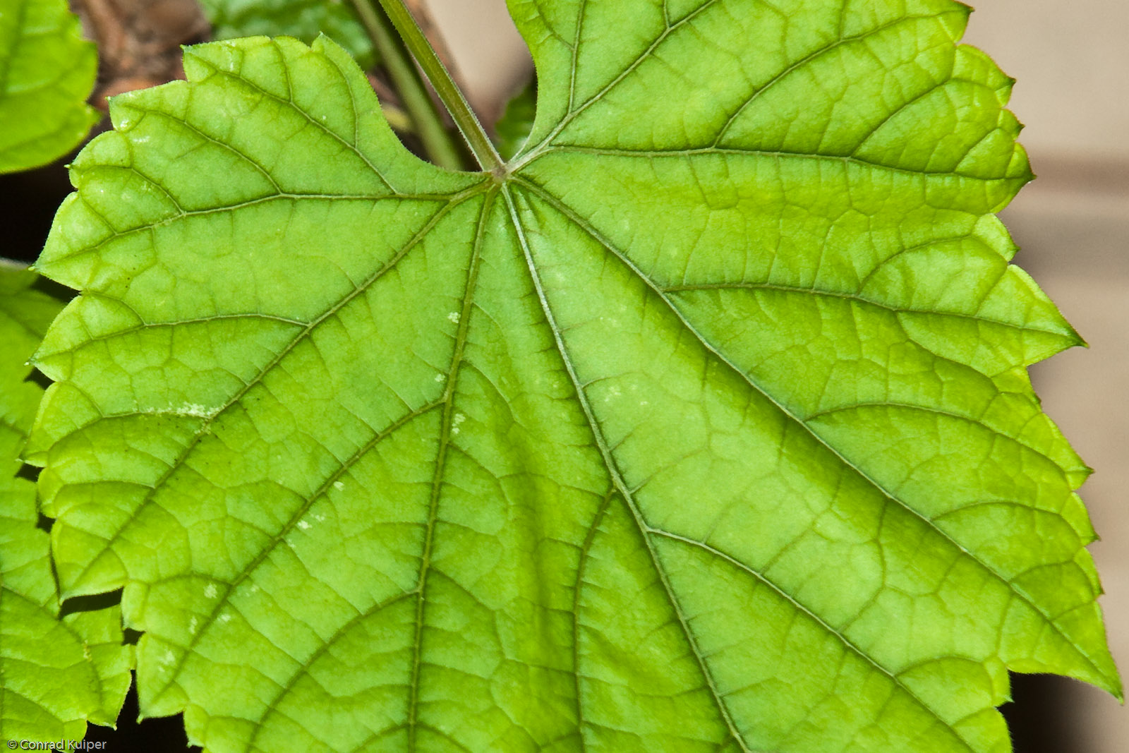
Grape Leaf
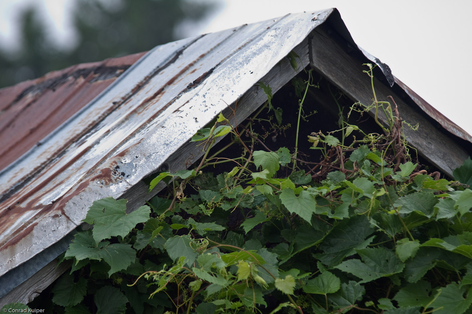
Abandoned Wellhouse and Wild Grape
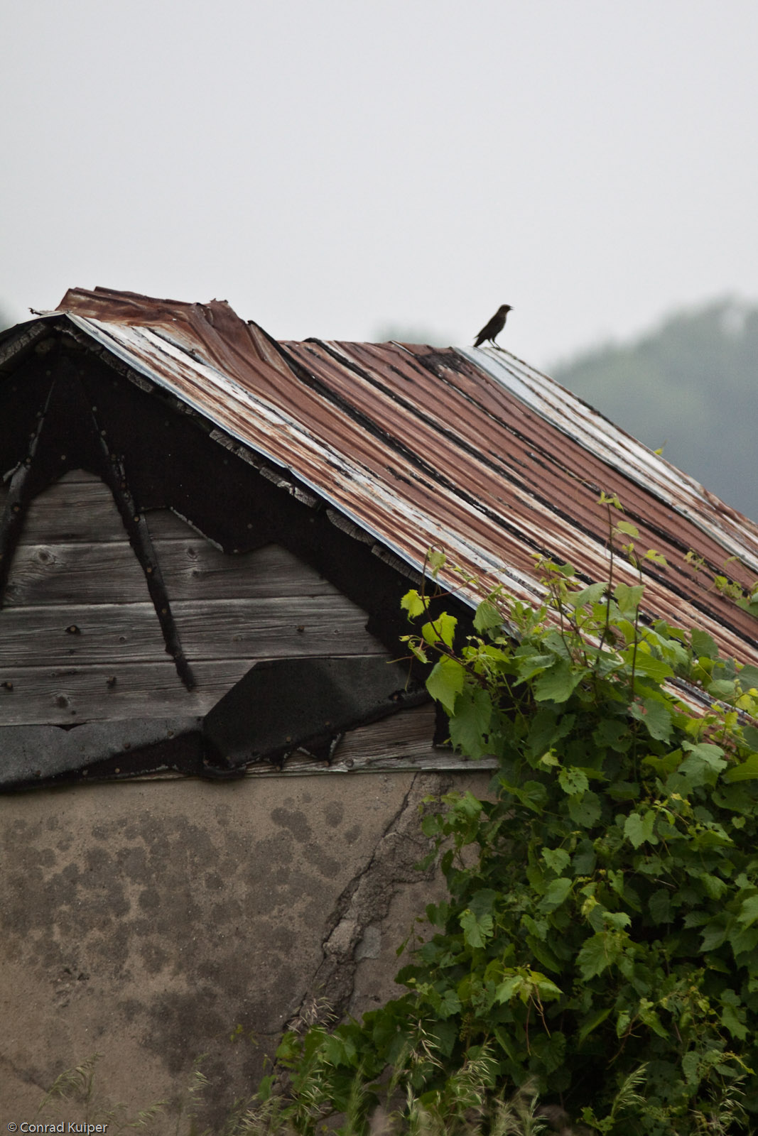
Abandoned Wellhouse and Wild Grape and Bird
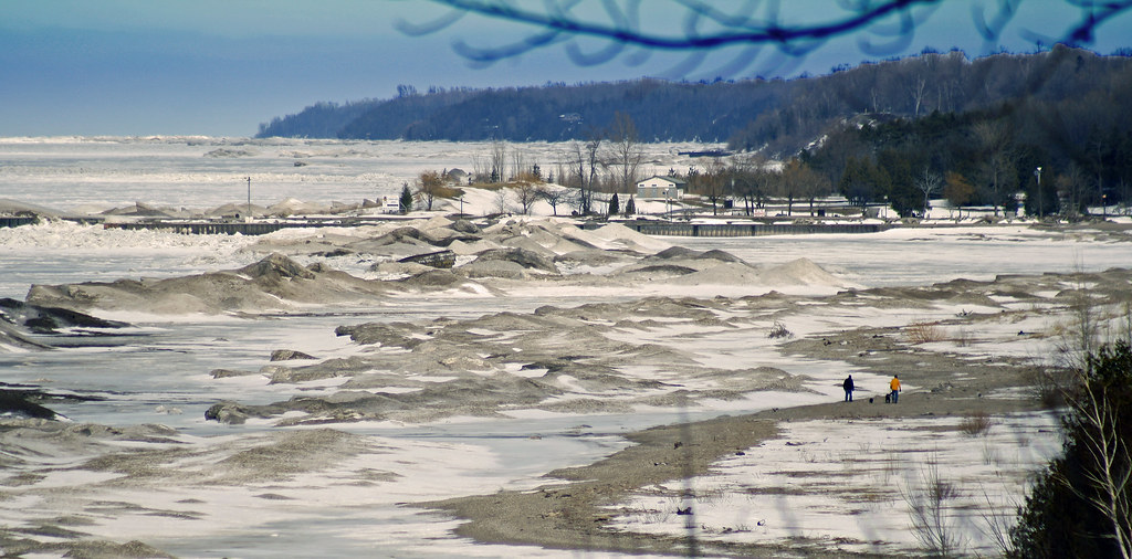
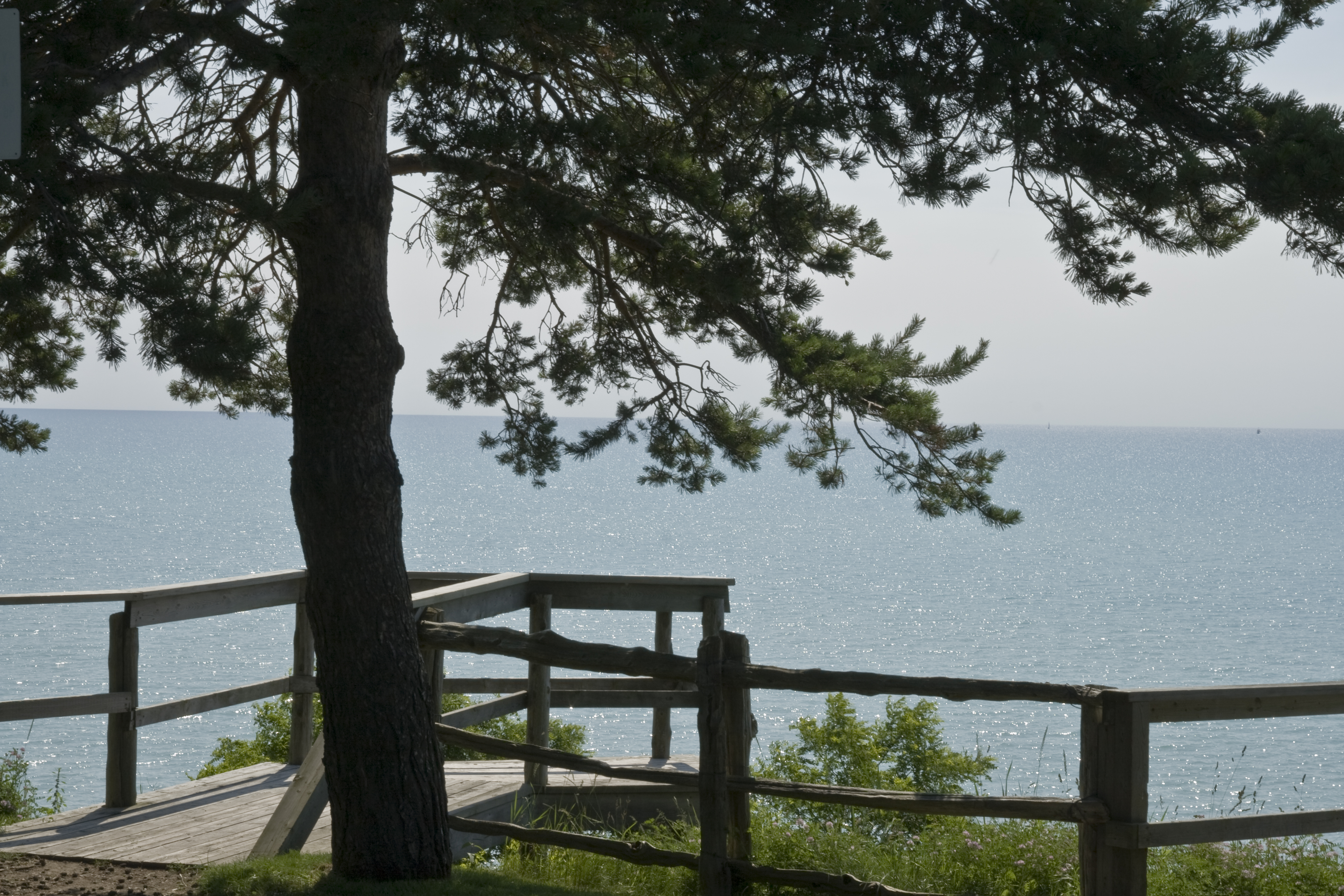
Lake Huron

Benmiller River Mill.jpg
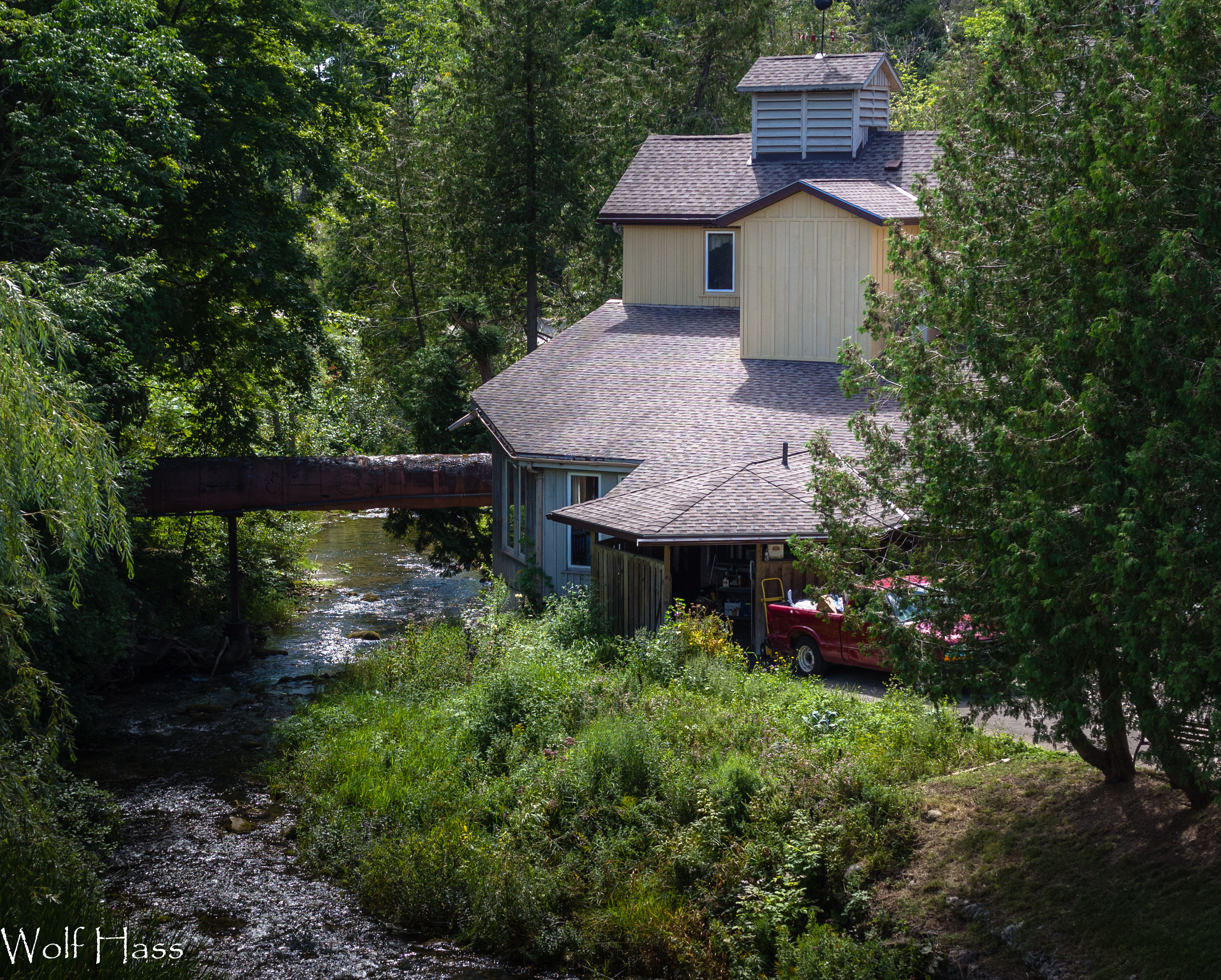
Benmiller Woolen Mill.jpg
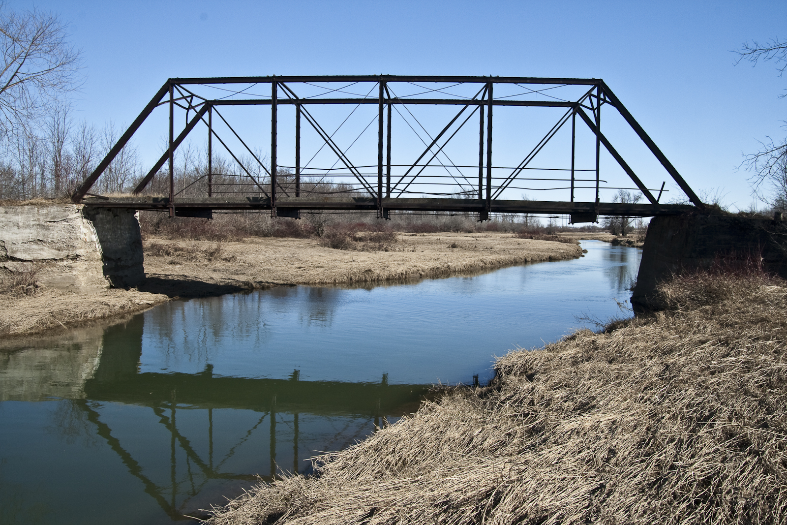
Abandoned bridge in Hullett
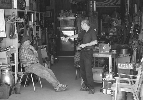
Junk Shop
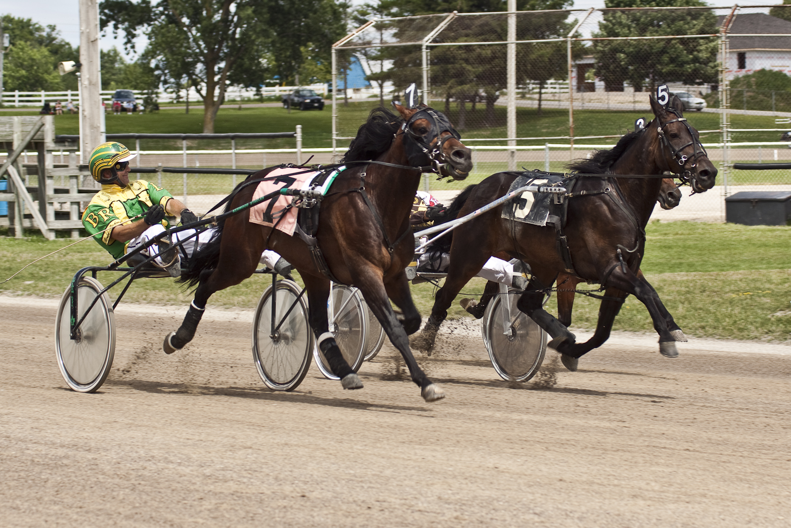
Neck and Neck
Reflections of Dawn
2019-01-07_10-12-22

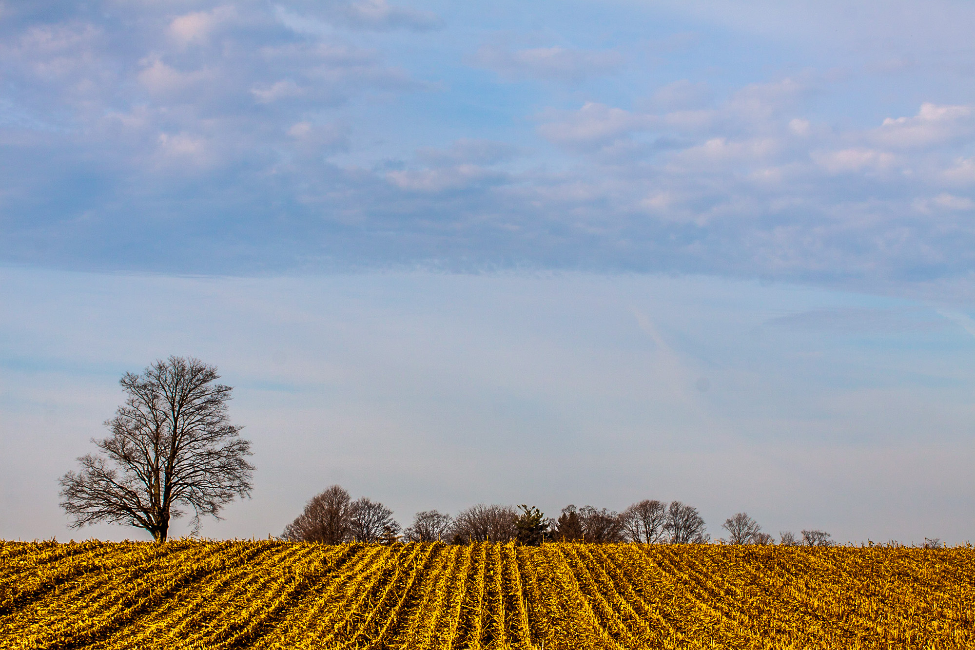
Winter Wheat / Spring Sky
Grain and Sky
Train Cars by the Marsh
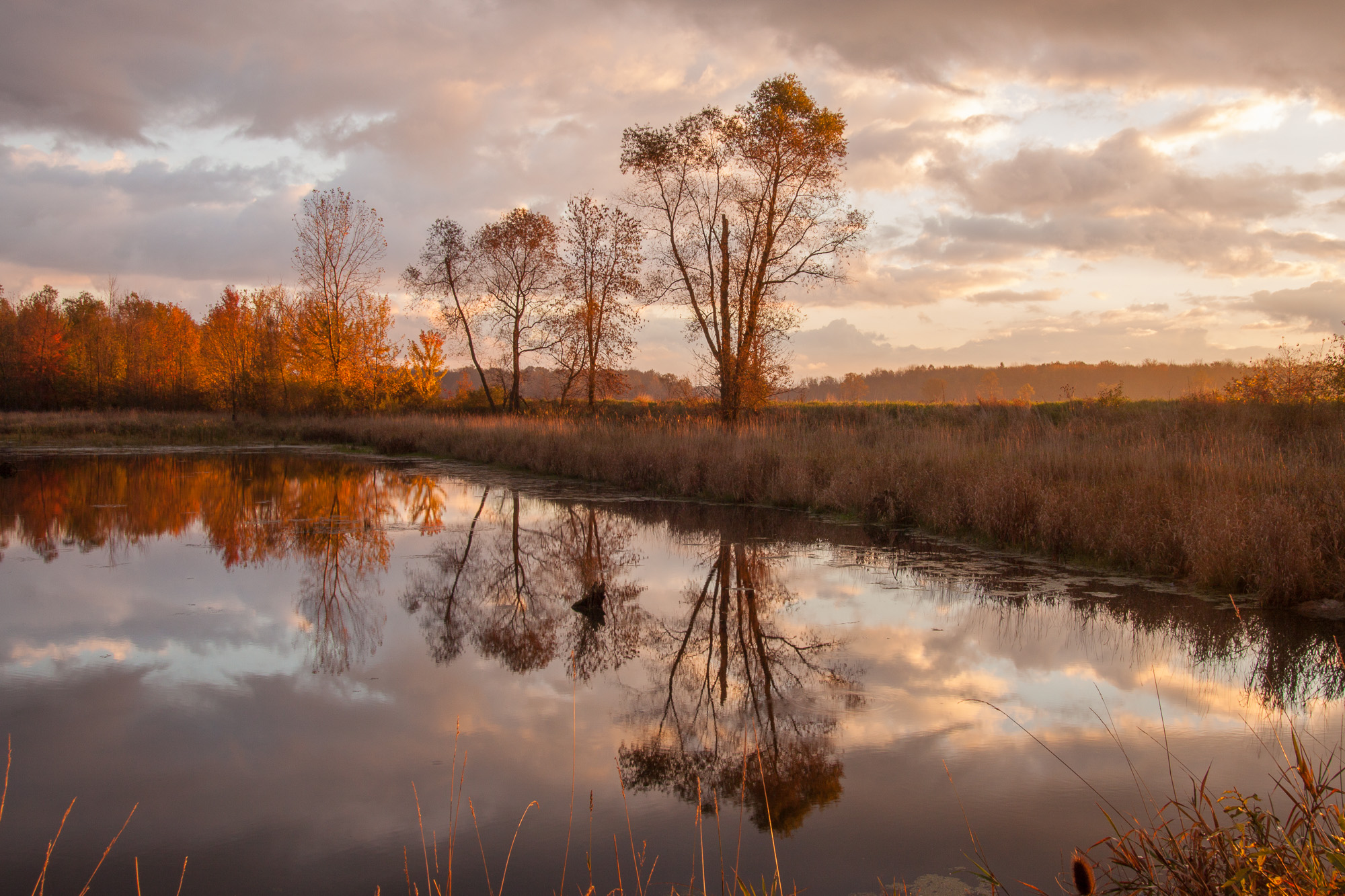
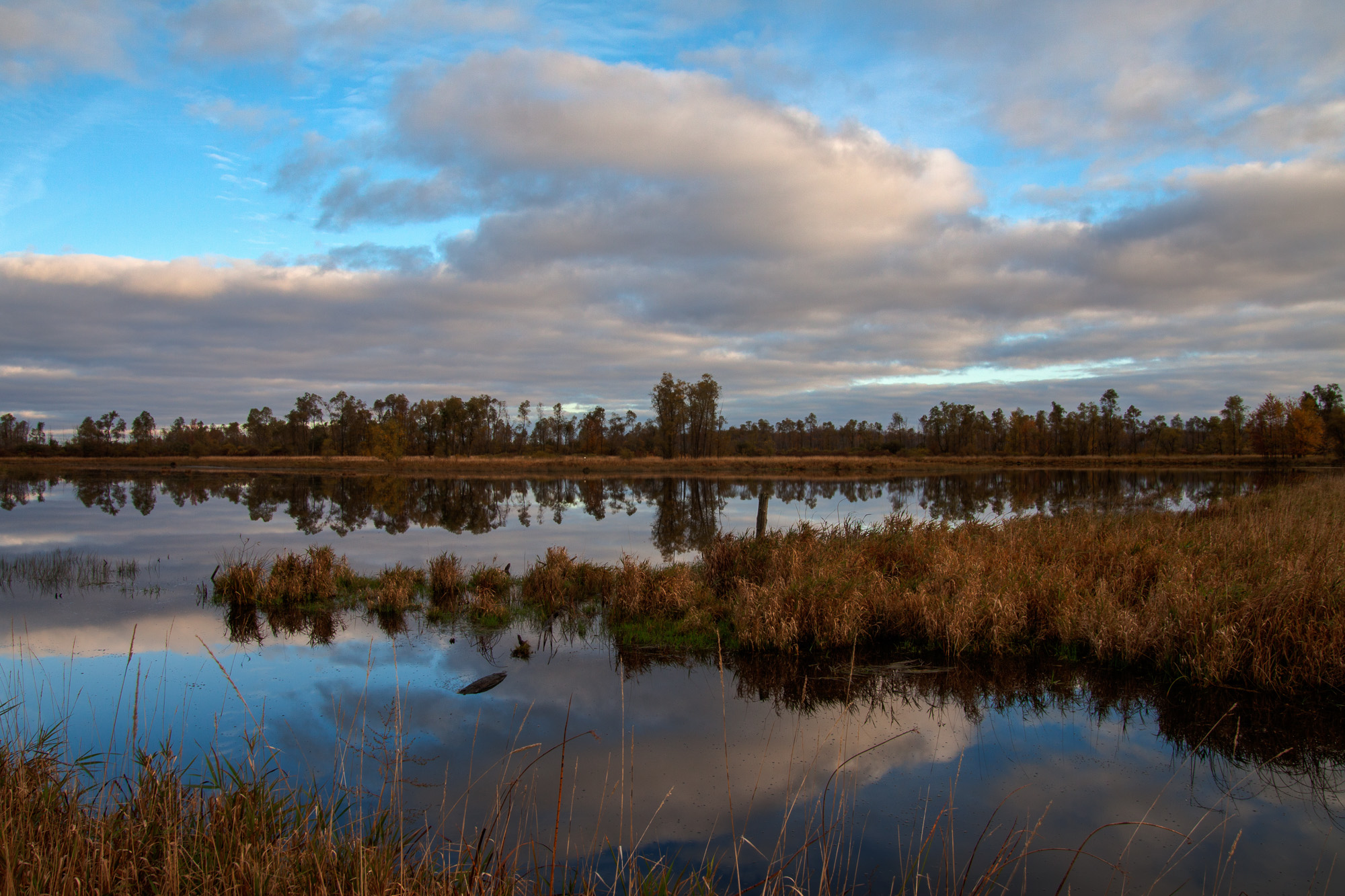
Autumn Reflections

Rock and Sand
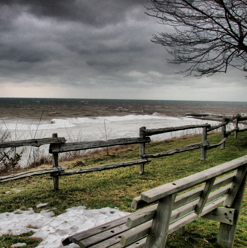
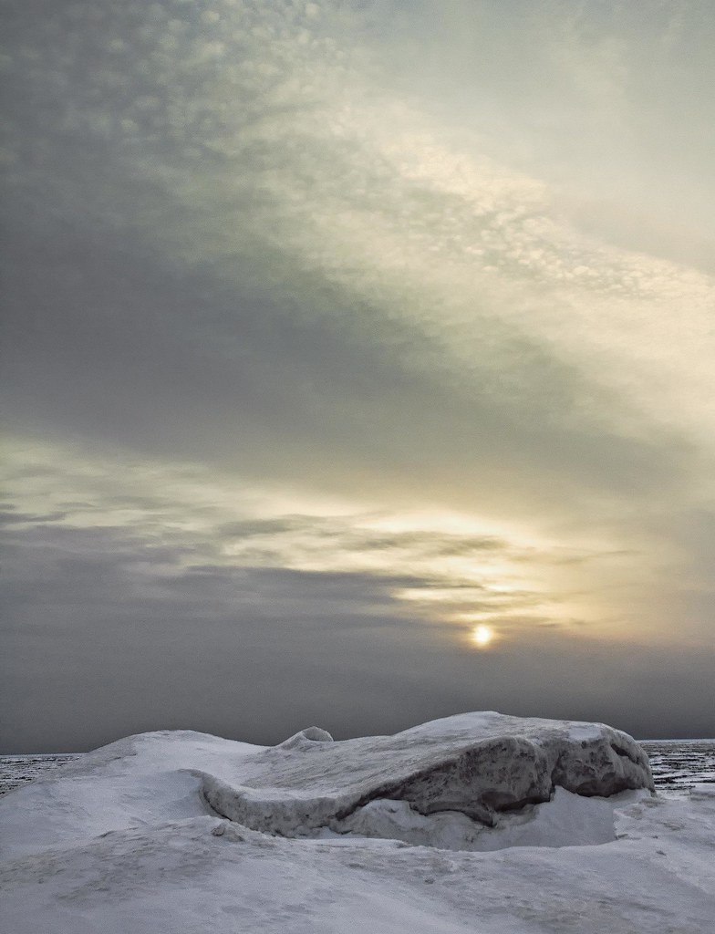
Waiting for Winter Snow
Bayfield – Snowbird
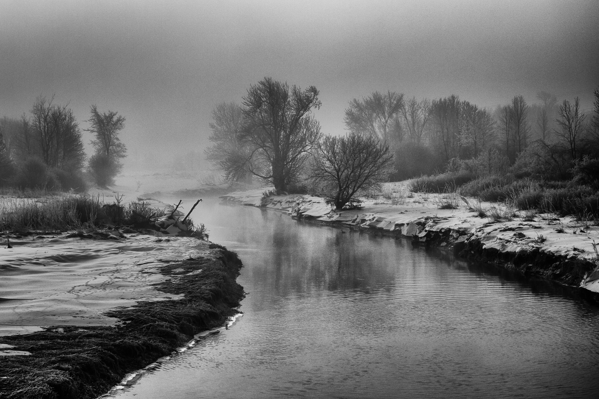
Winter Morning Fog

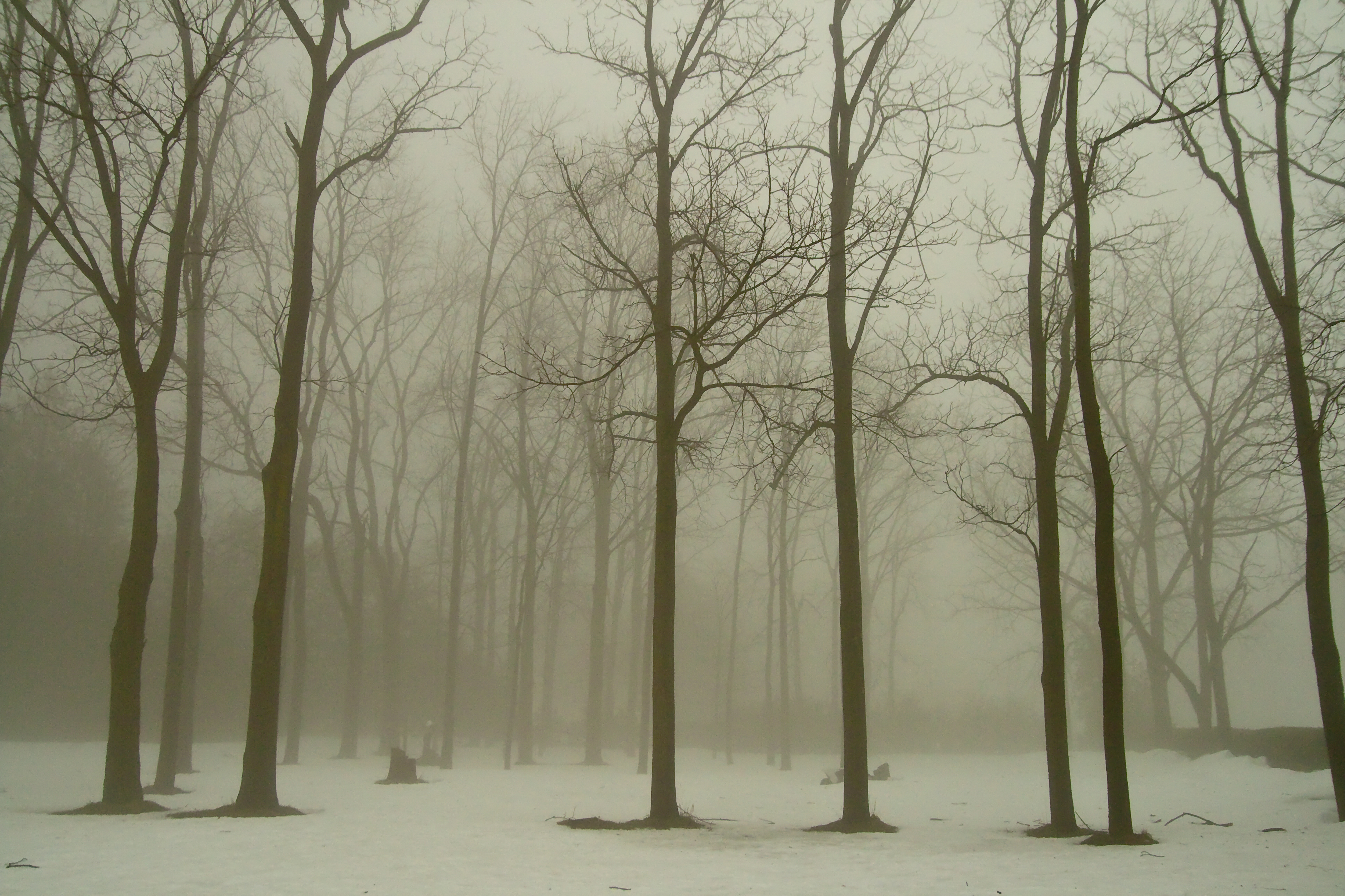
Forest Stroll
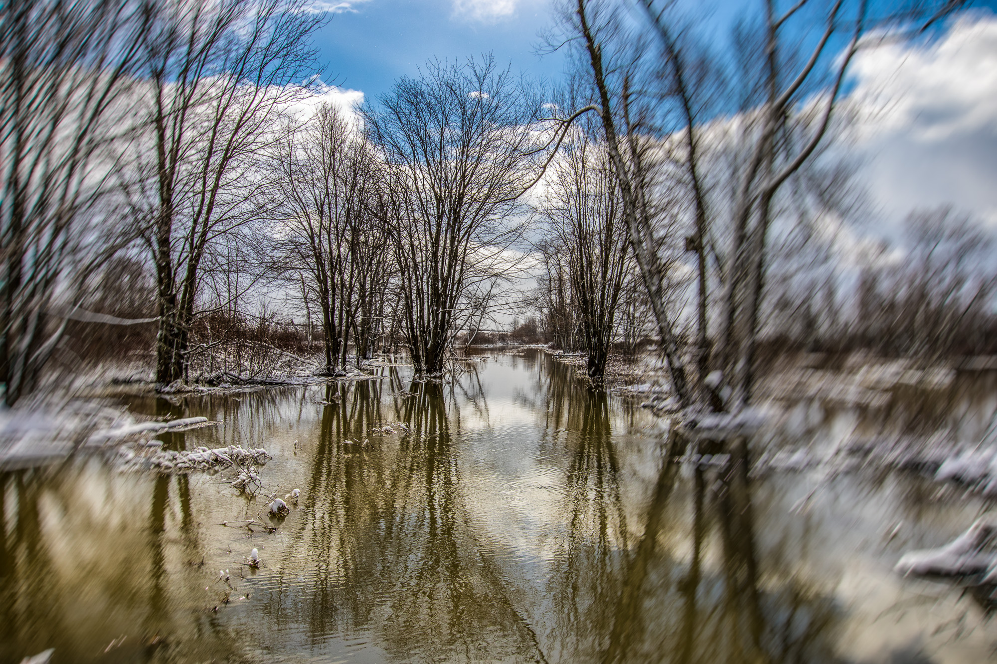
Flooding in Hullett
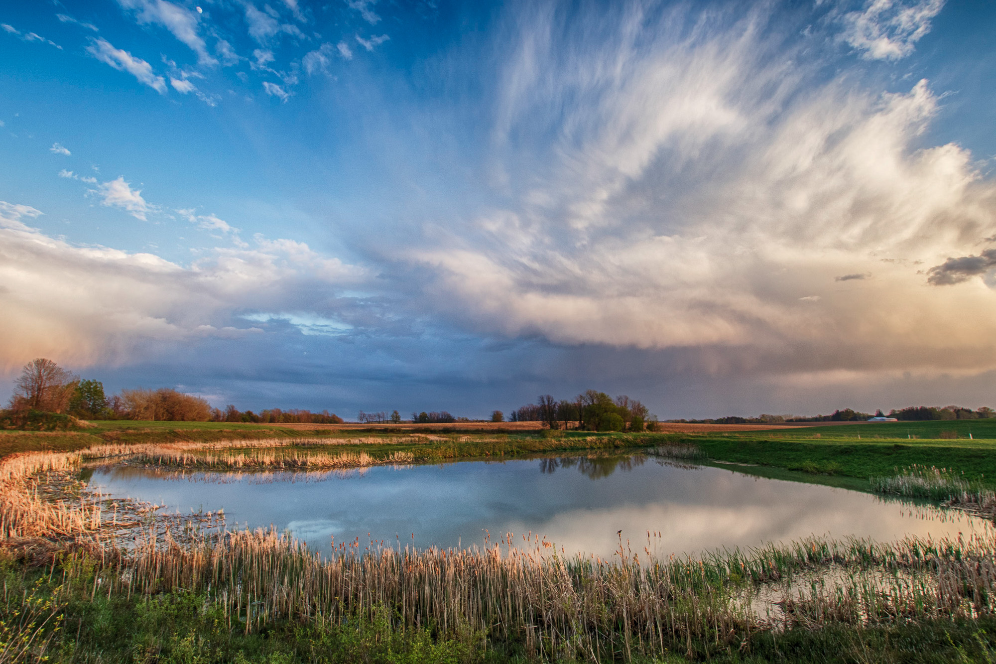
Pond and Sky
Hullett Morning
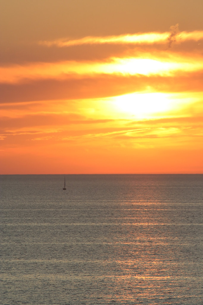
Bayfield sunset
Bayfield Sunset
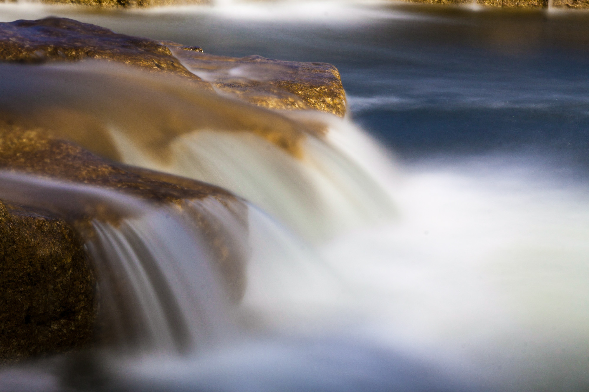
Falls Close-up Slow
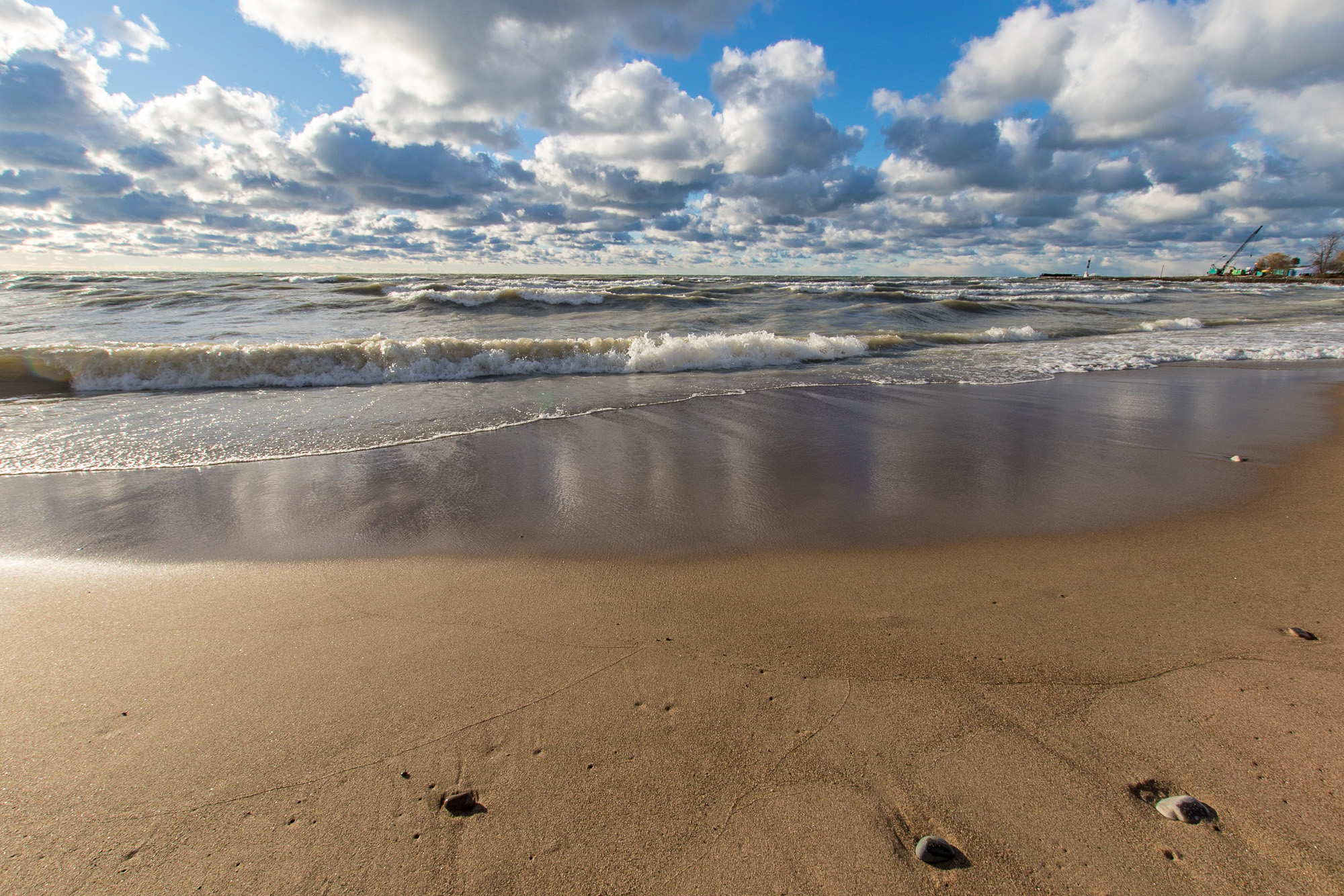
Bayfield Beach in November

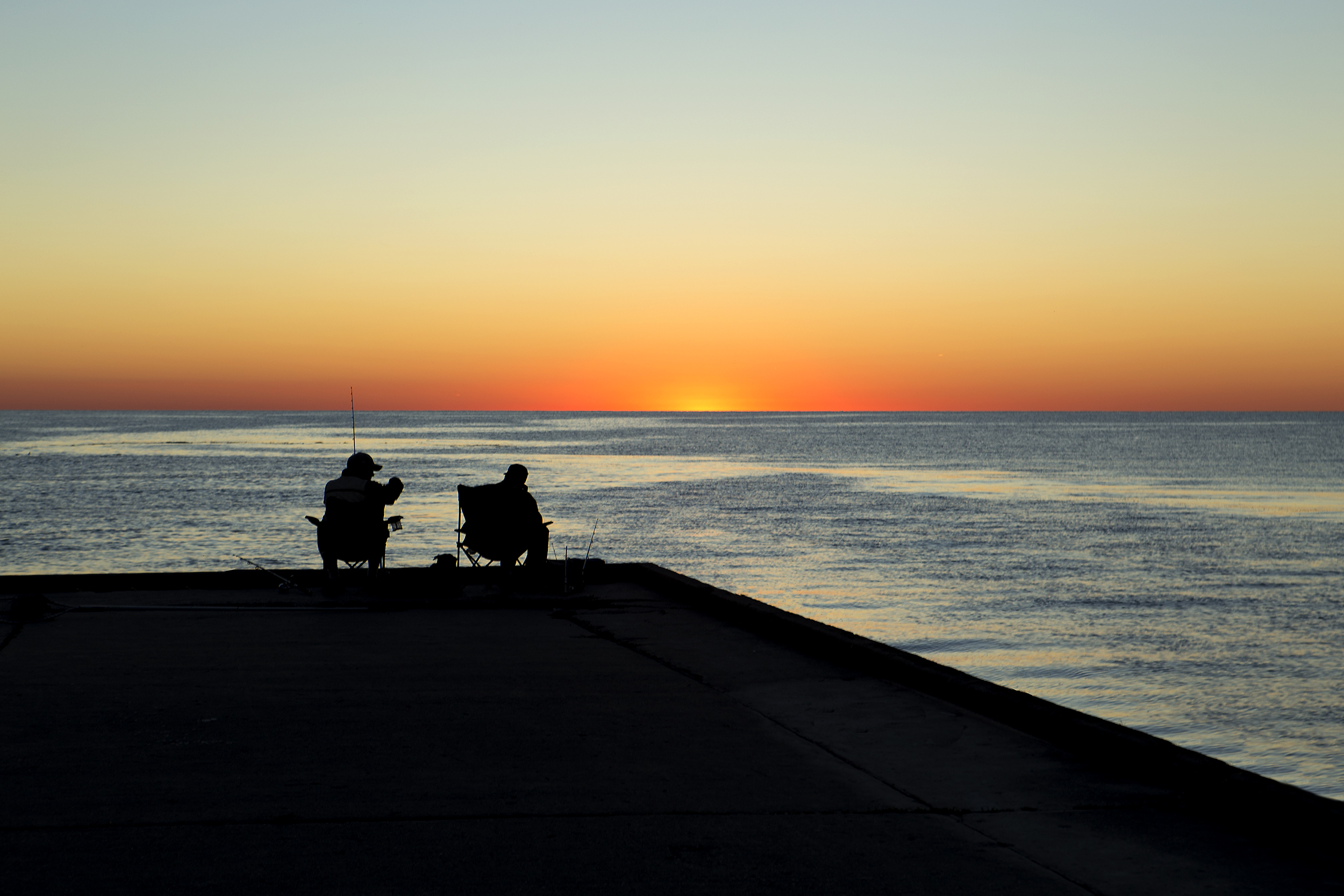
Dawn Scene

Hullet Marsh

Falls Close-up Fast
Topographic Map of 38 Victoria St, Londesborough, ON N0M 2H0, Canada
Find elevation by address:

Places near 38 Victoria St, Londesborough, ON N0M 2H0, Canada:
38 Victoria St
38 Victoria St
38 Victoria St
5 Albert St, Clinton, ON N0M 1L0, Canada
Clinton
98 Rattenbury St W
98 Rattenbury St
60 Walker St
Central Huron
Friends Of Hullett
Londesborough
Victoria St, Londesborough, ON N0M 2H0, Canada
Blyth
83343 Scott Line
41217 St Michaels Rd
Huron East
Brussels
250 Turnberry St
250 Turnberry St
250 Turnberry St
Recent Searches:
- Elevation of Congressional Dr, Stevensville, MD, USA
- Elevation of Bellview Rd, McLean, VA, USA
- Elevation of Stage Island Rd, Chatham, MA, USA
- Elevation of Shibuya Scramble Crossing, 21 Udagawacho, Shibuya City, Tokyo -, Japan
- Elevation of Jadagoniai, Kaunas District Municipality, Lithuania
- Elevation of Pagonija rock, Kranto 7-oji g. 8"N, Kaunas, Lithuania
- Elevation of Co Rd 87, Jamestown, CO, USA
- Elevation of Tenjo, Cundinamarca, Colombia
- Elevation of Côte-des-Neiges, Montreal, QC H4A 3J6, Canada
- Elevation of Bobcat Dr, Helena, MT, USA