Elevation of 38 Victoria St, Londesborough, ON N0M 2H0, Canada
Location: Canada > Ontario > Huron County > Central Huron > Londesborough >
Longitude: -81.539370
Latitude: 43.6157069
Elevation: 286m / 938feet
Barometric Pressure: 98KPa
Elevation Map:
Satellite Map:
Related Photos:
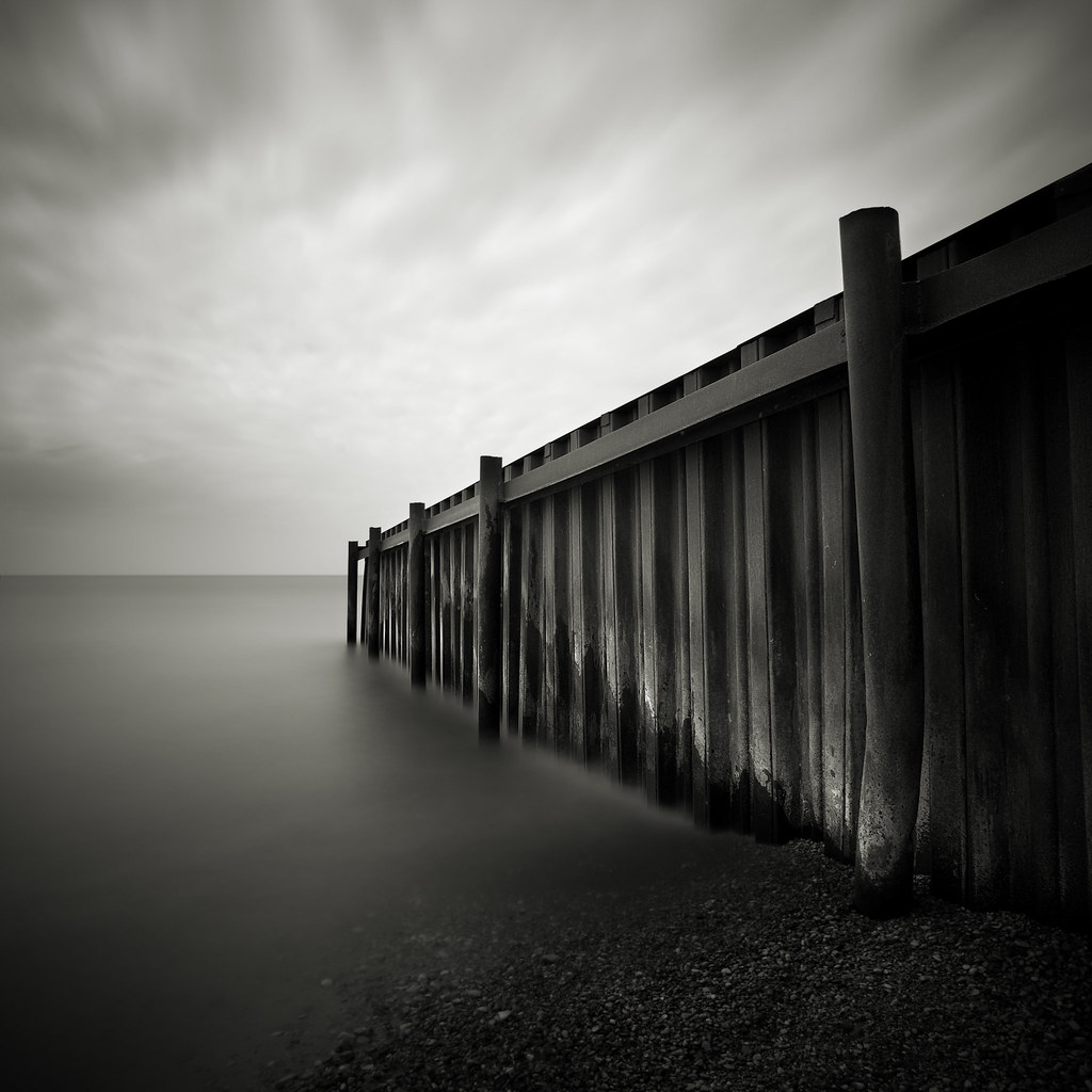
Steel Jetty
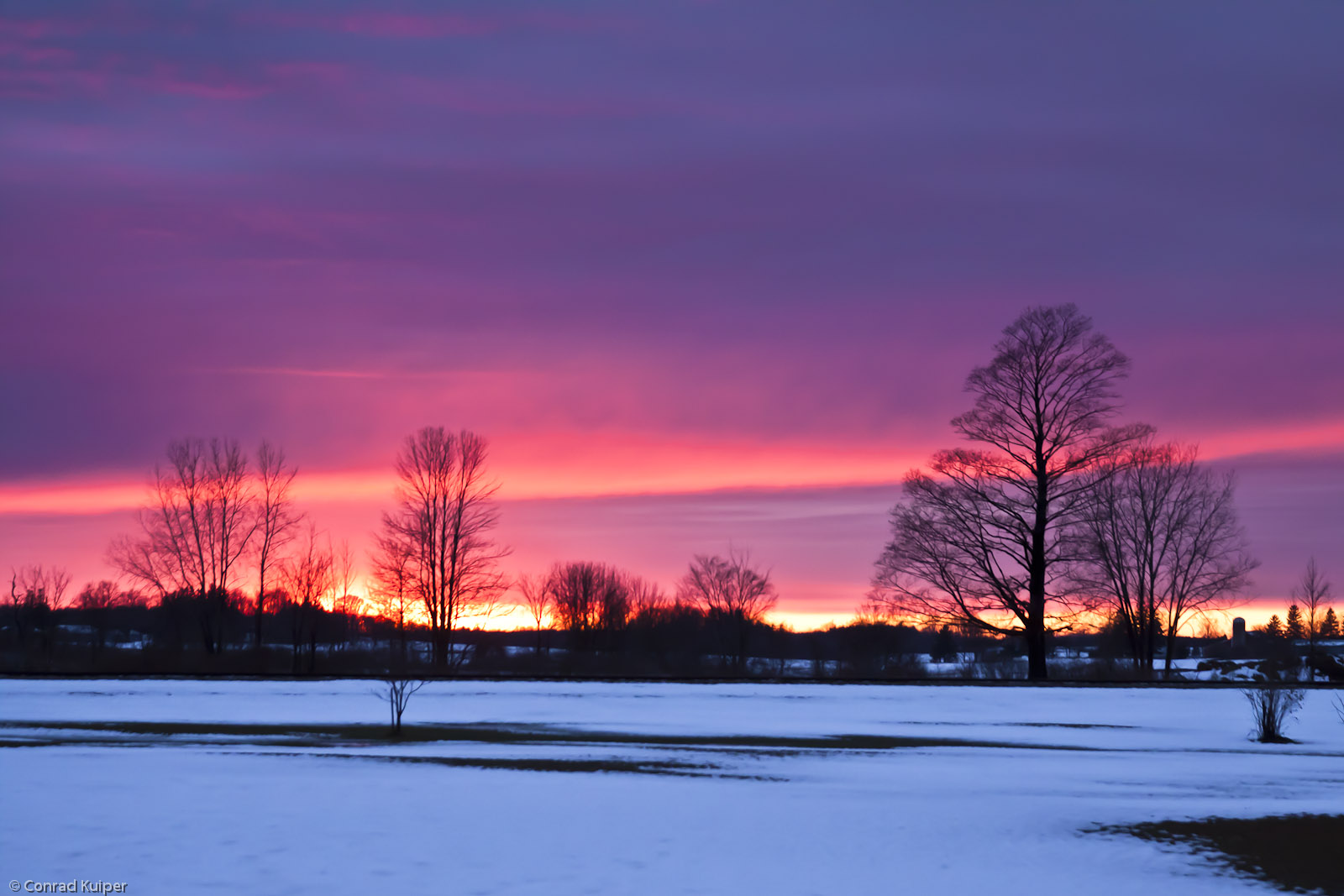
New Year's Day Sunset
Scenic Haiku
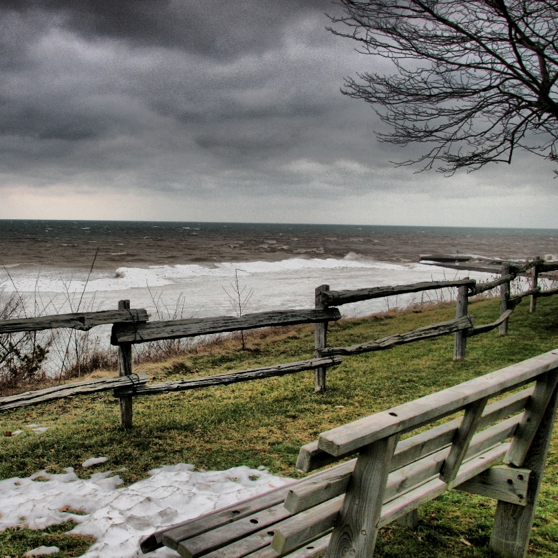
laweczka /bench
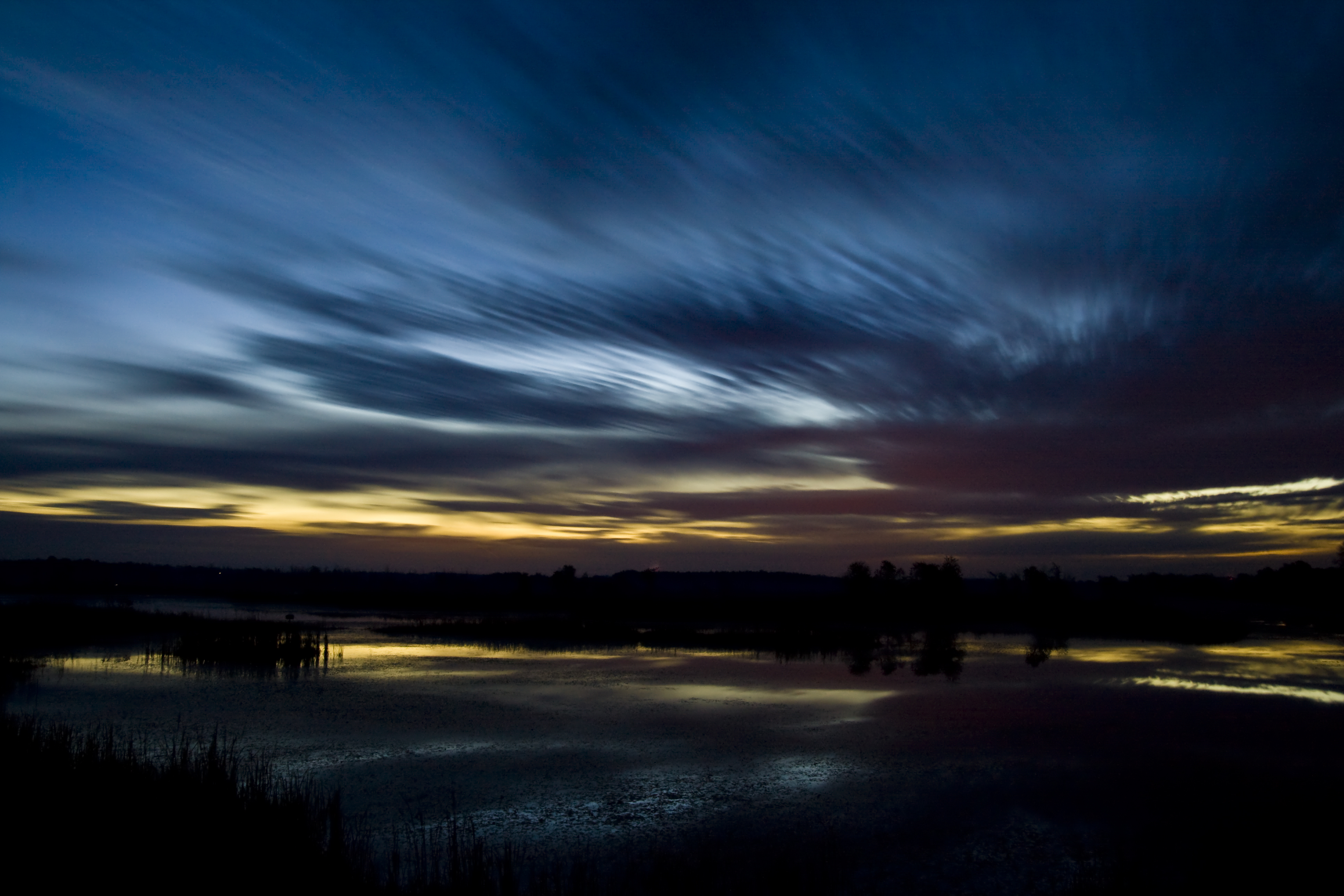
Half hour before sunrise - 2 minute exposure
The Bayfield Harbour
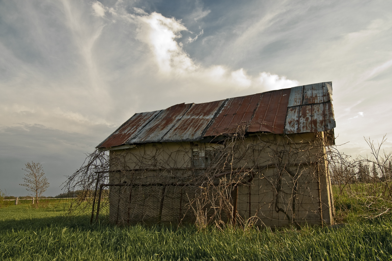
Abandoned Wellhouse
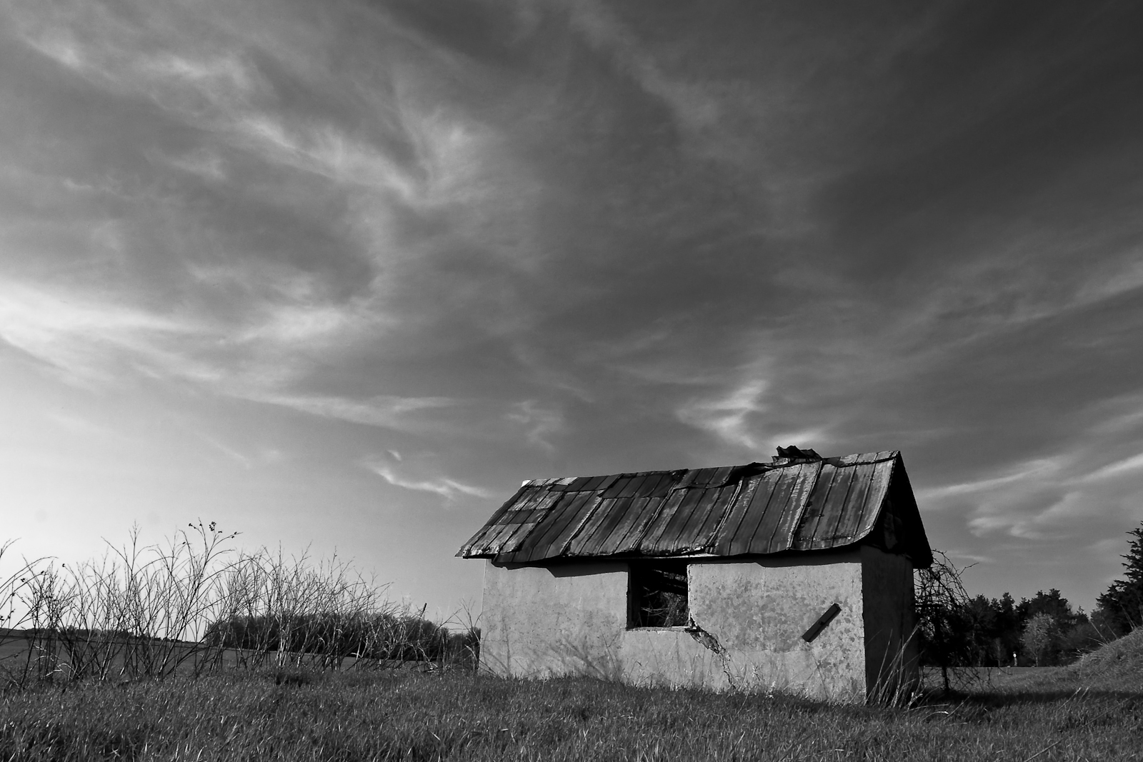
Wellhouse in Grey
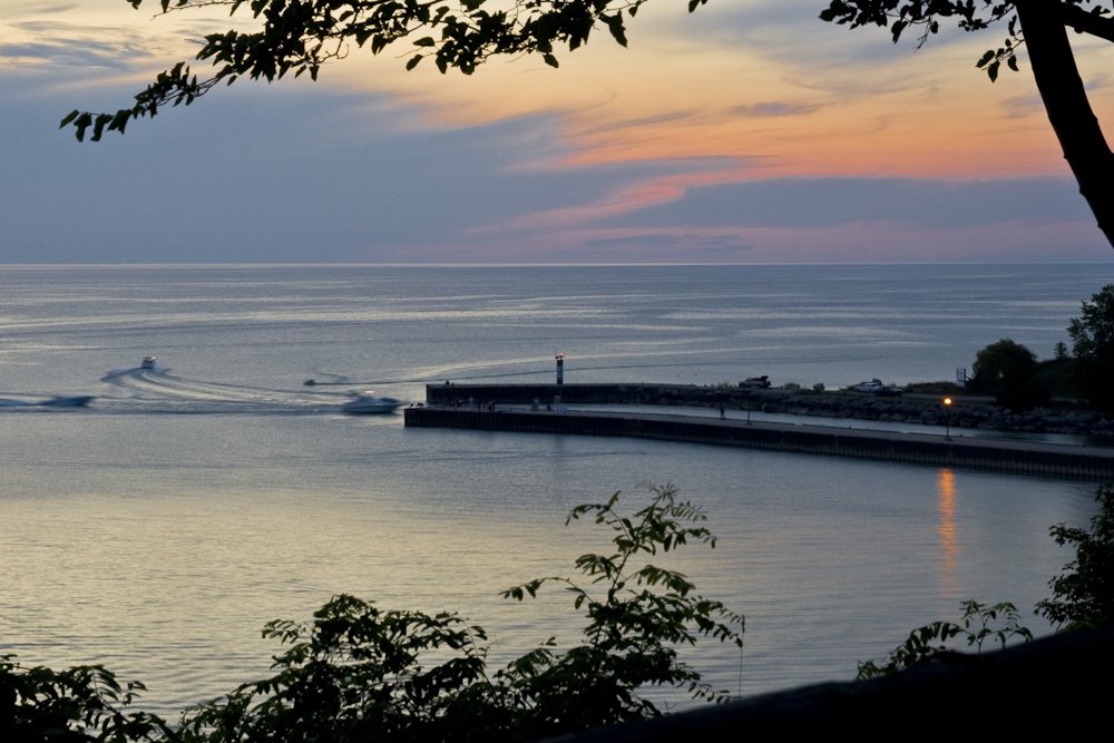
Bayfield Harbour

Empty Husk
Bayfield, Ontario
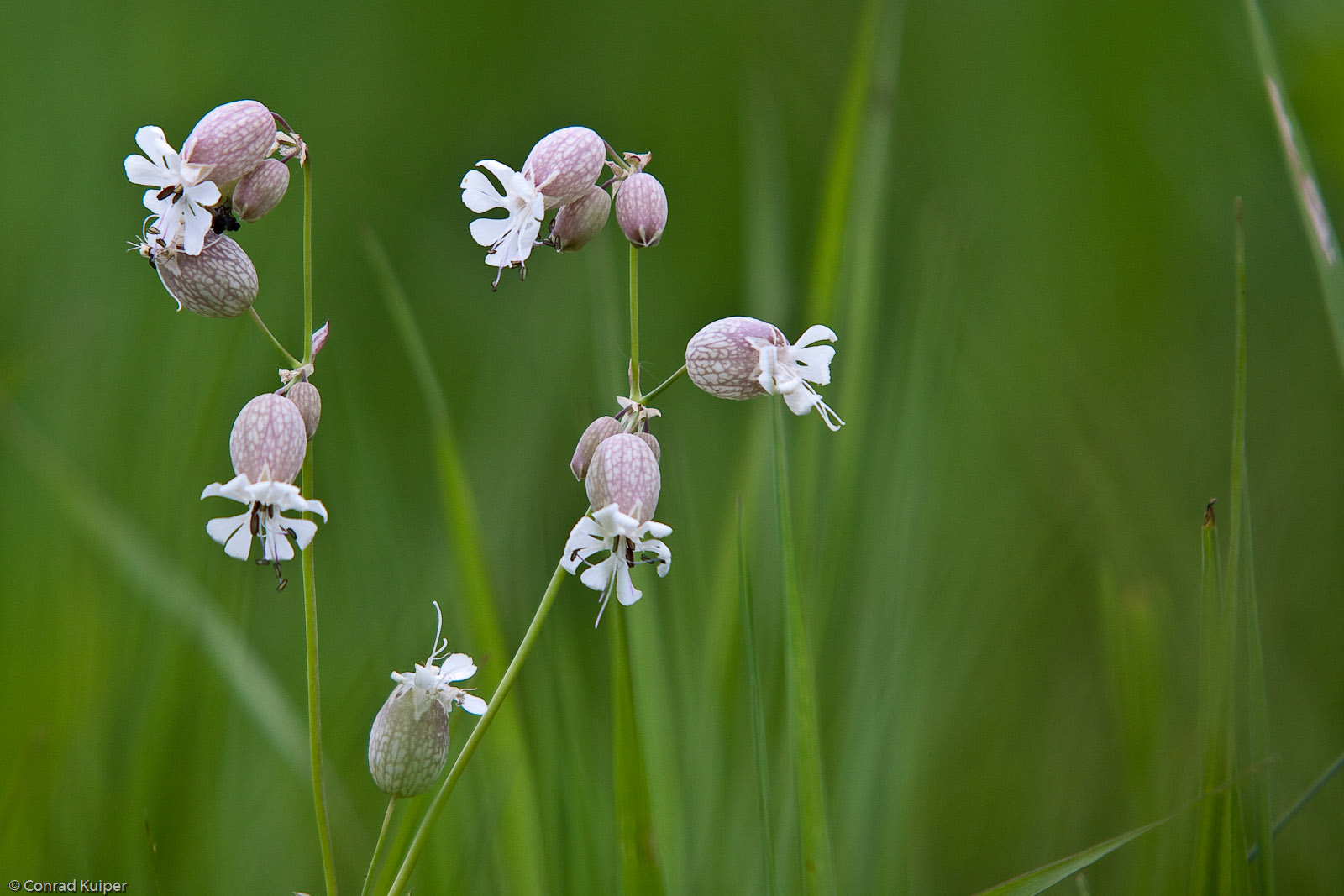
Bladder Campion
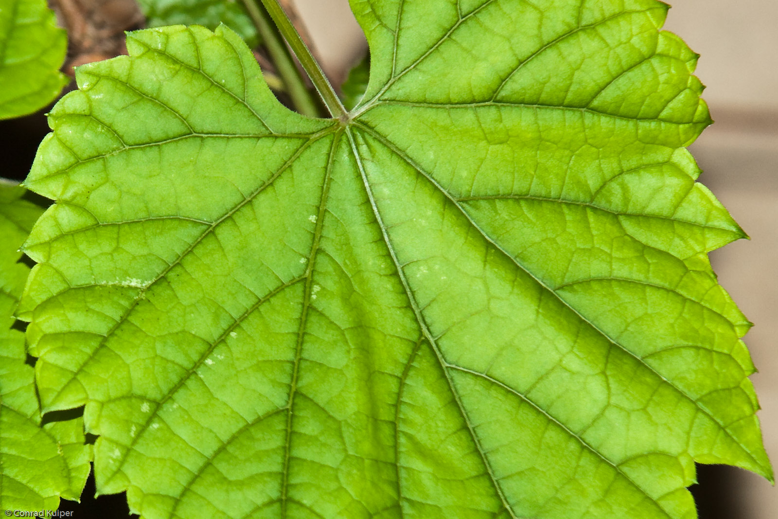
Grape Leaf
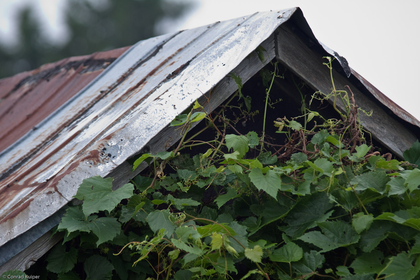
Abandoned Wellhouse and Wild Grape
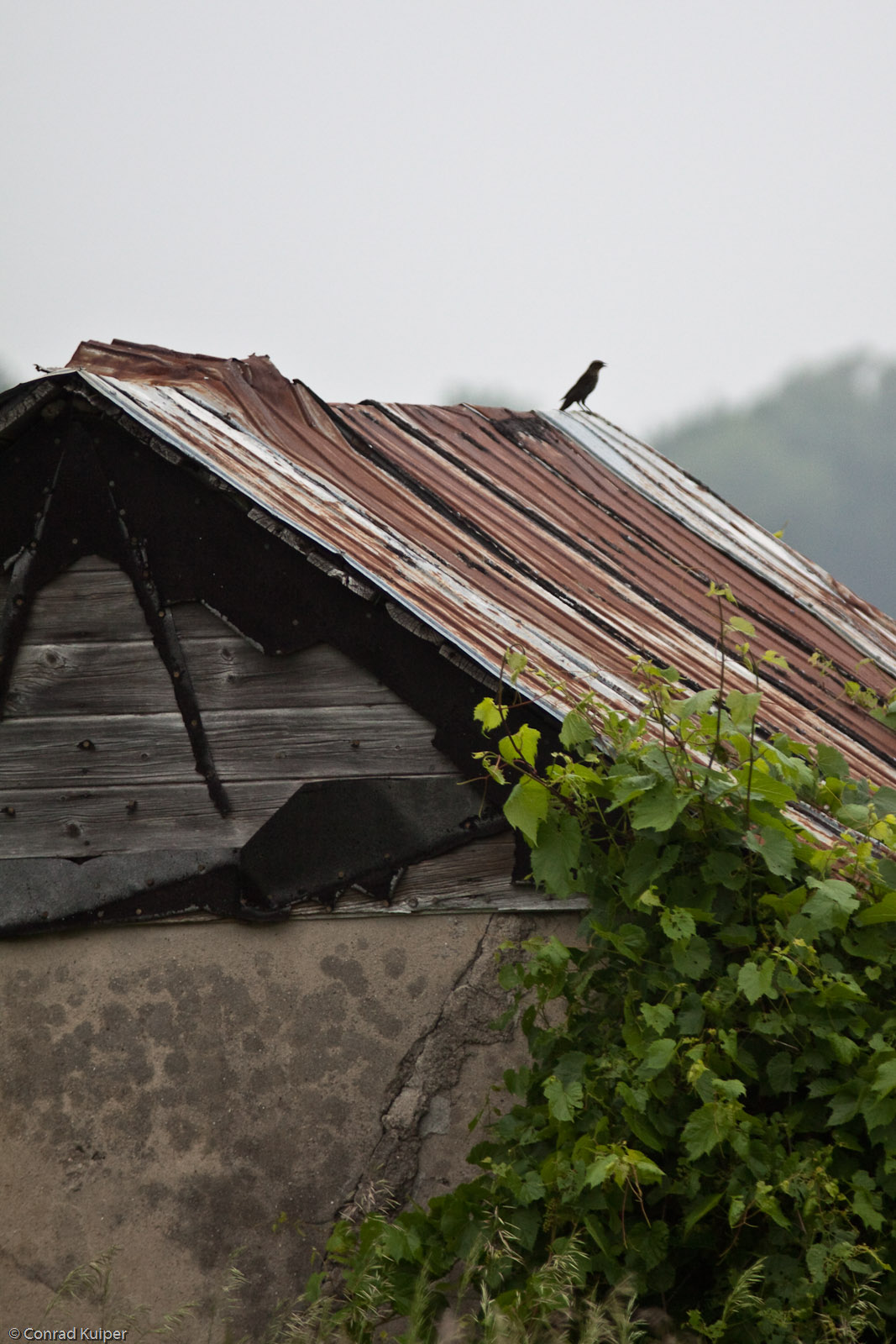
Abandoned Wellhouse and Wild Grape and Bird
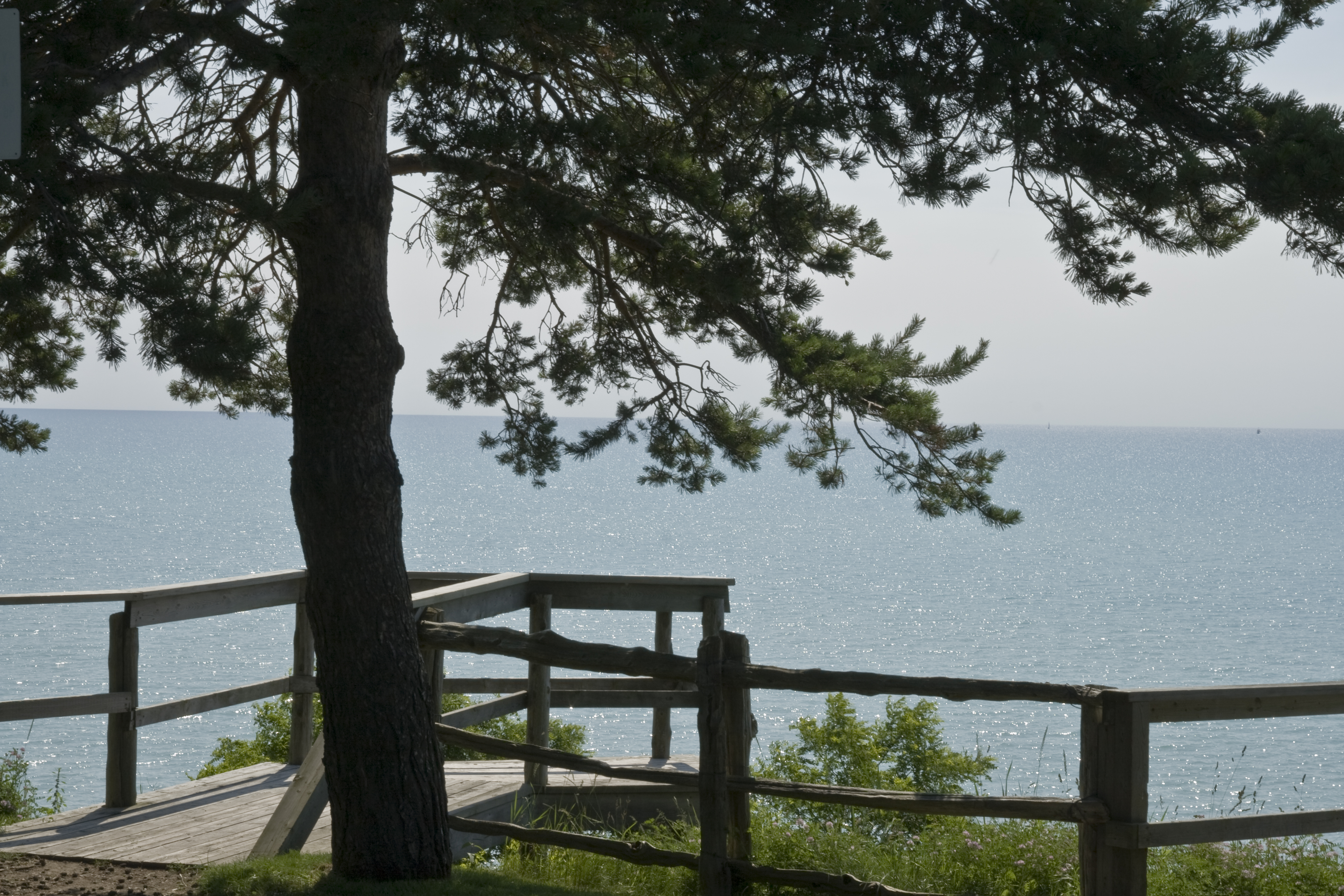
Lake Huron

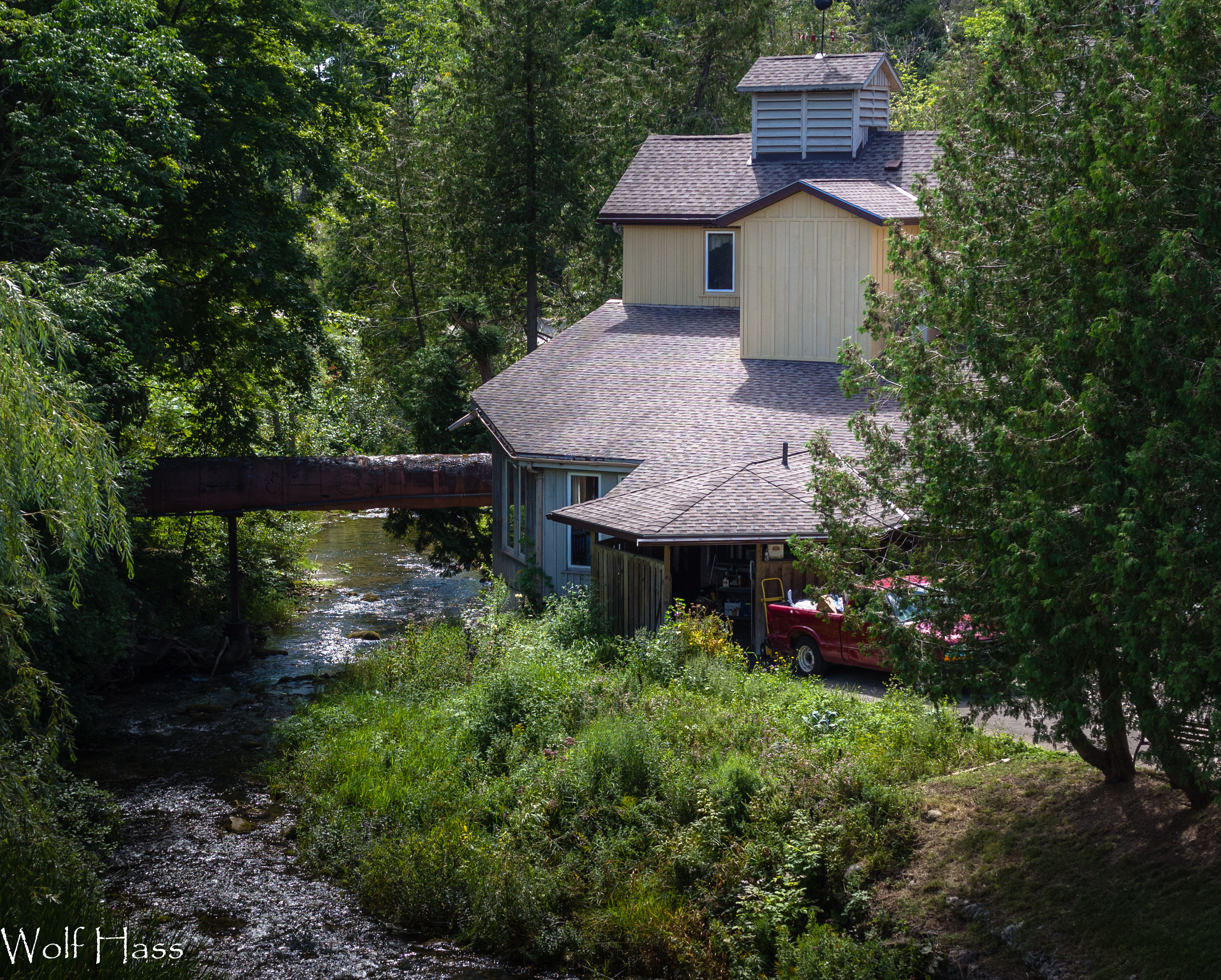
Benmiller River Mill.jpg
Benmiller Woolen Mill.jpg
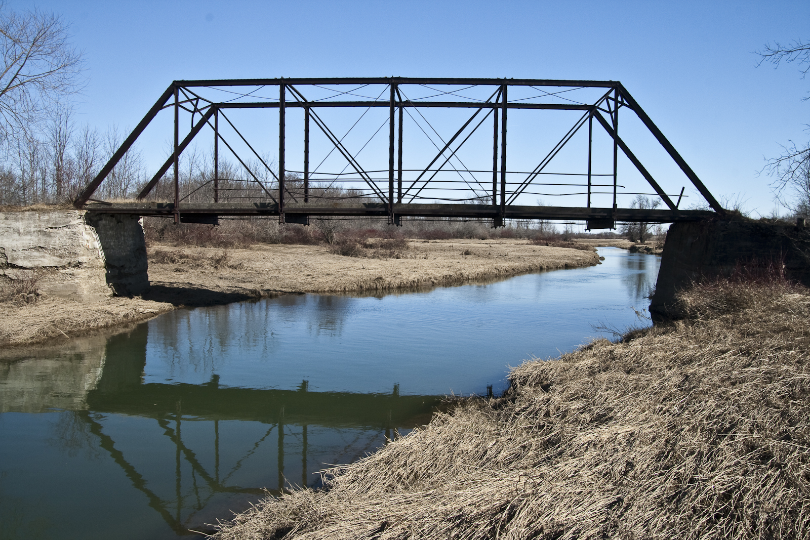
Abandoned bridge in Hullett
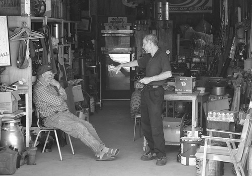
Junk Shop
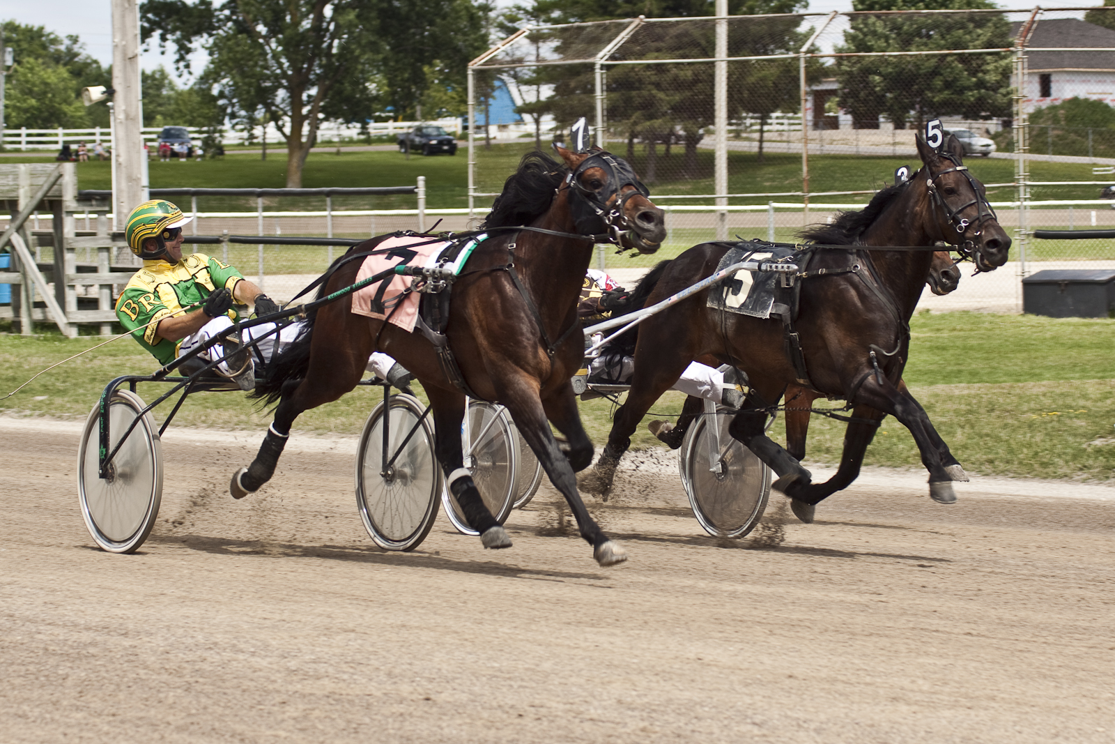
Neck and Neck
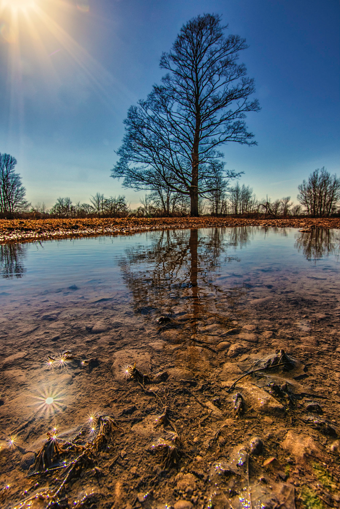
Sun...Maple...Puddle
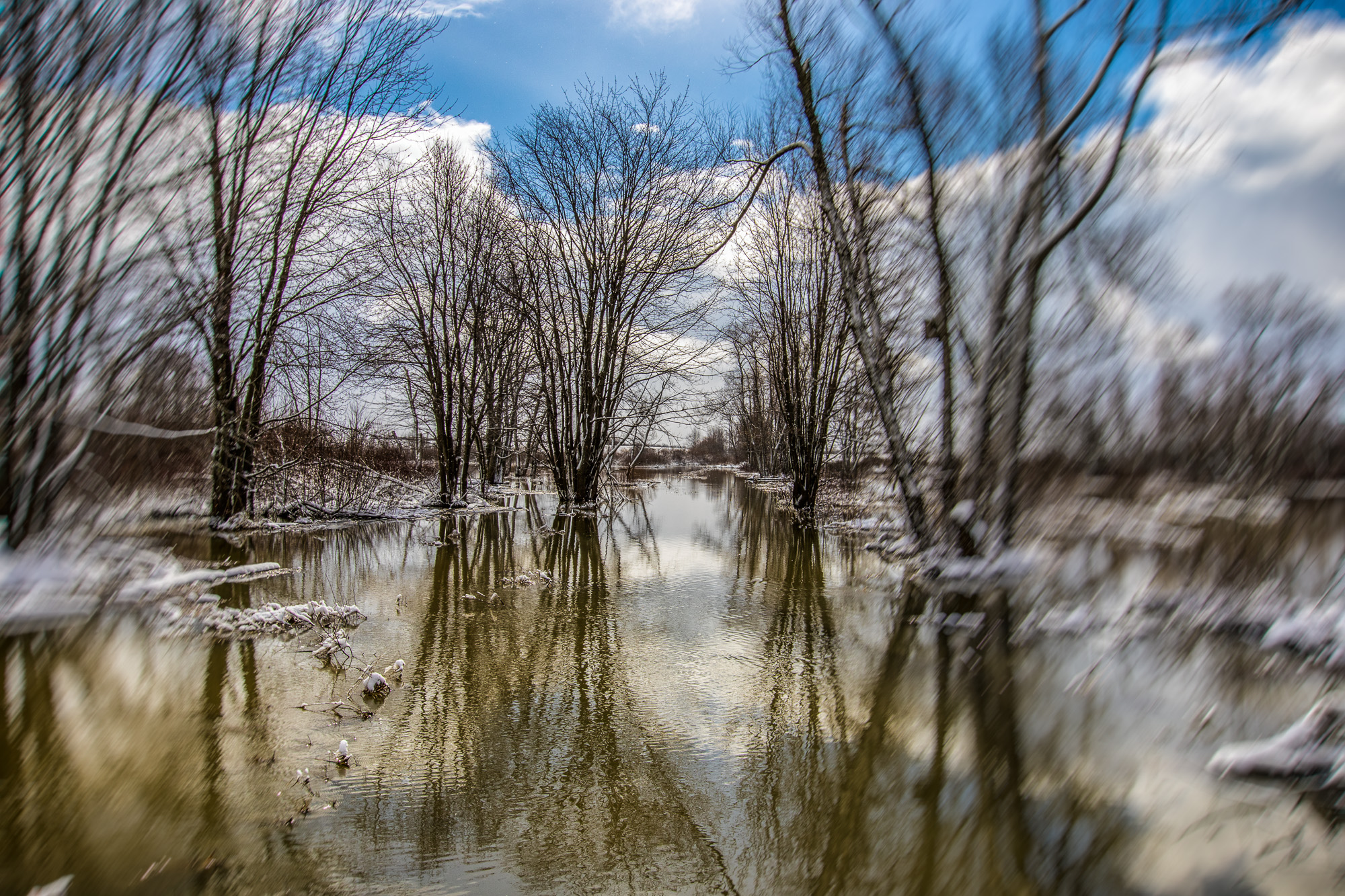
Flooding in Hullett
Bayfield – Snowbird
2019-01-07_10-12-22
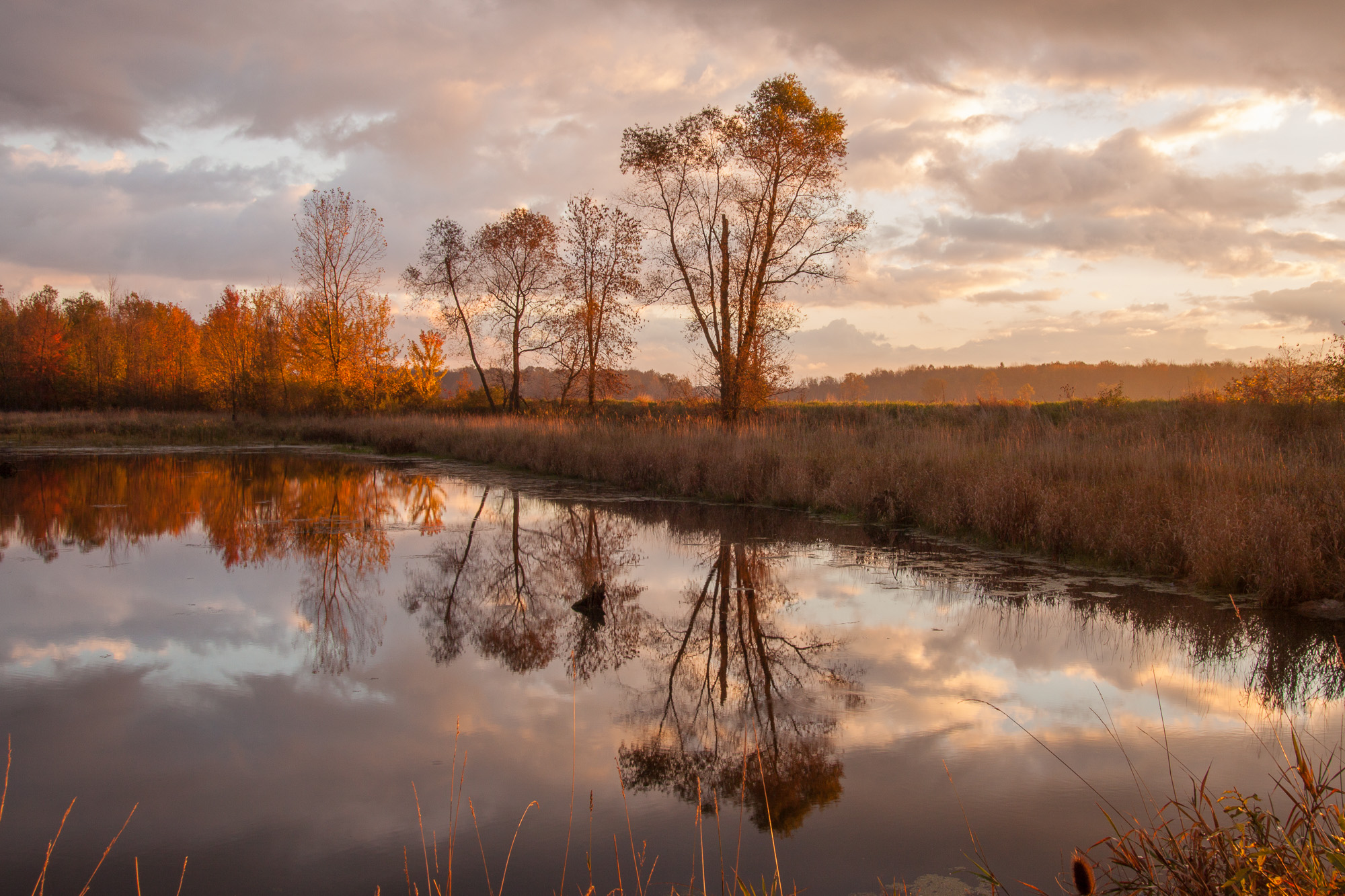
Reflections of Dawn

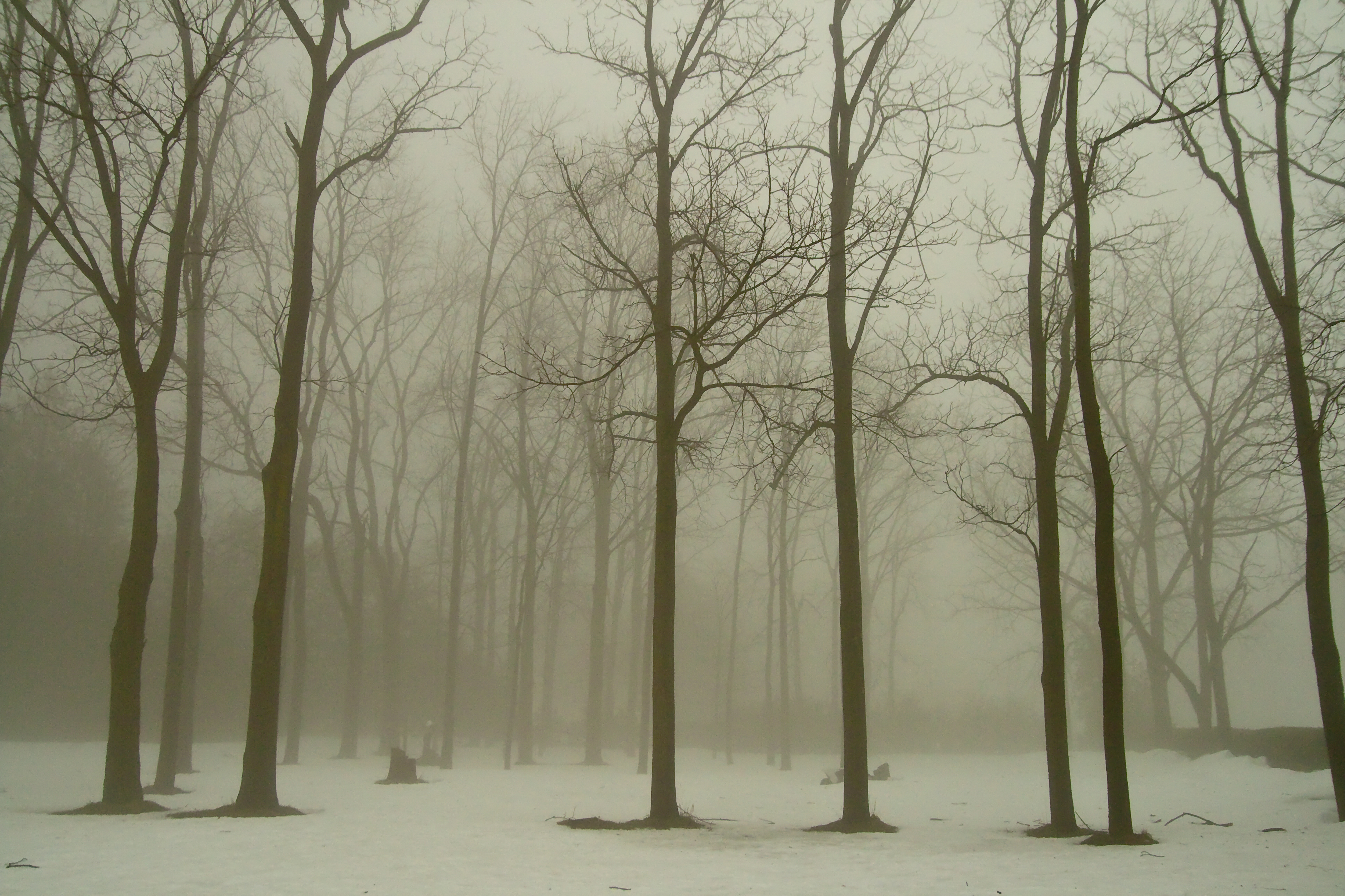
Forest Stroll
Early Spring Morning
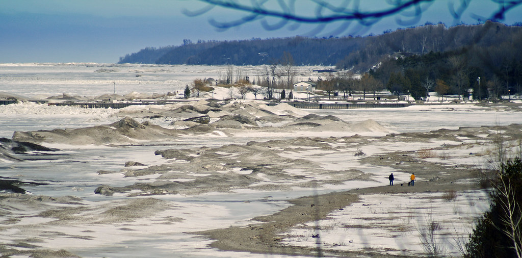
Sand, Water, Sky
Hullett Morning
Bayfield sunset

Winter Wheat / Spring Sky
CRW_5604.jpg

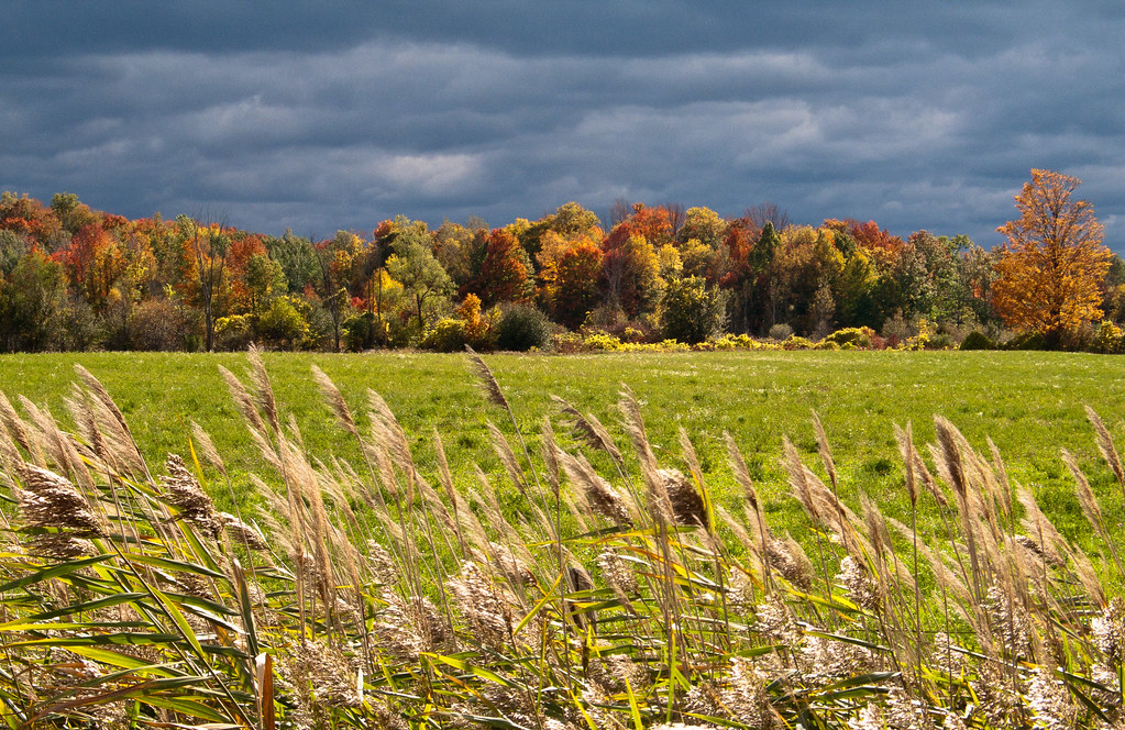
Hullet Marsh
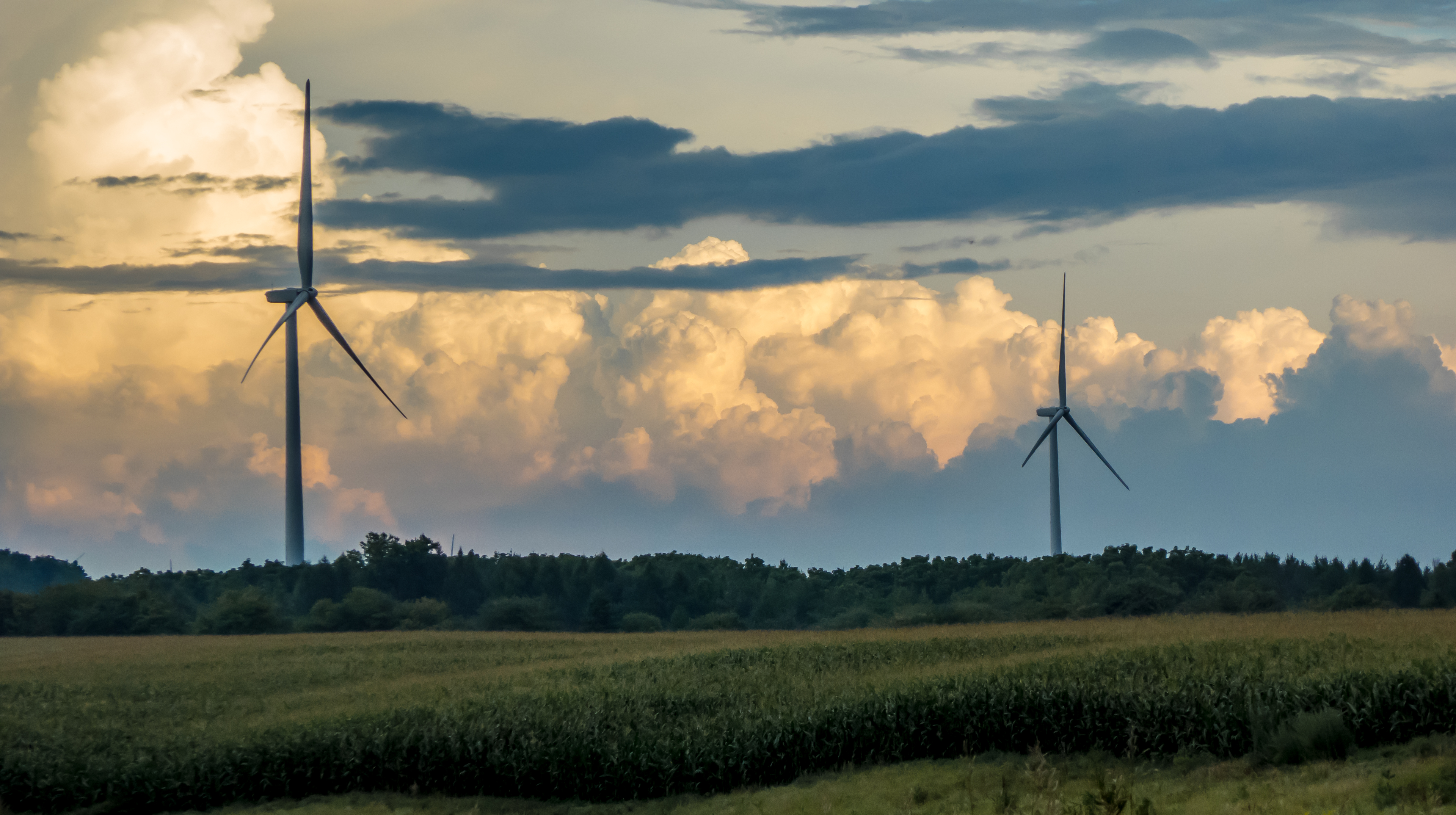
Stormy Turbines (Centennial Road)
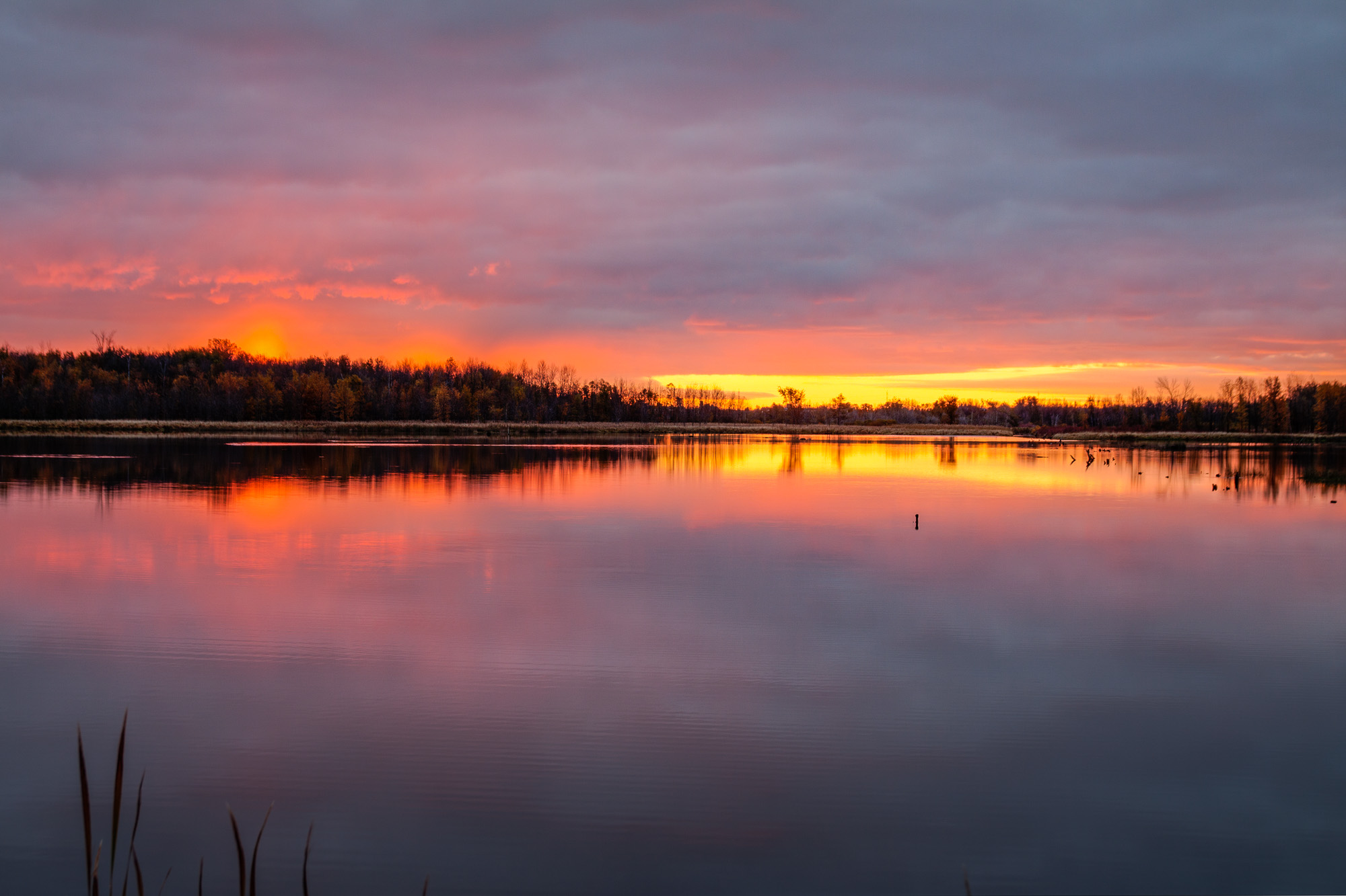
Hullett Sunrise HDR
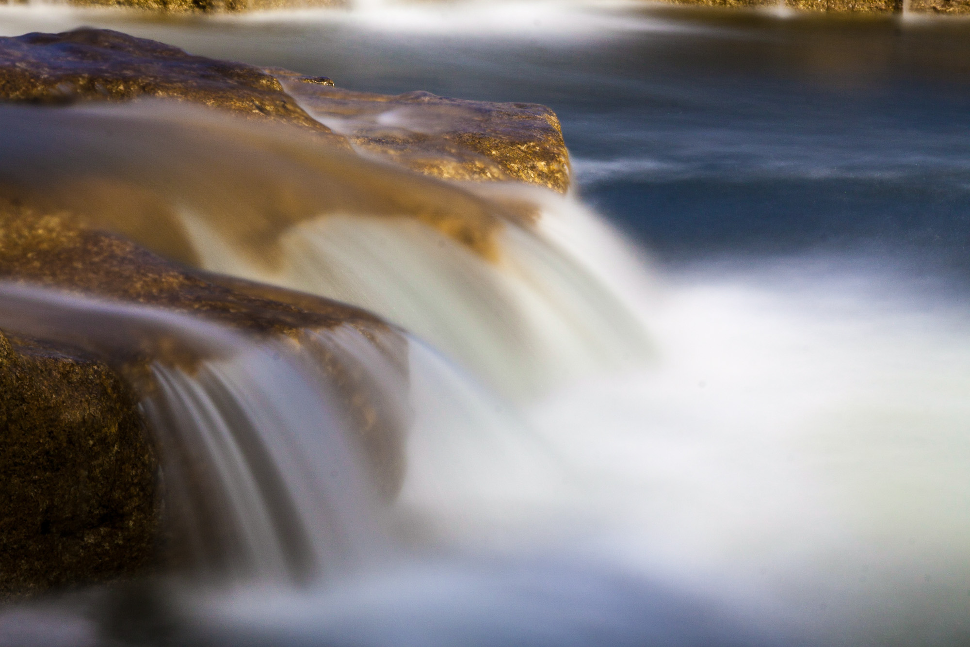
Falls Close-up Slow
Hullett Photo Walk 12
Bayfield Sunset
Glitter Bay - Sunset
Grain and Sky
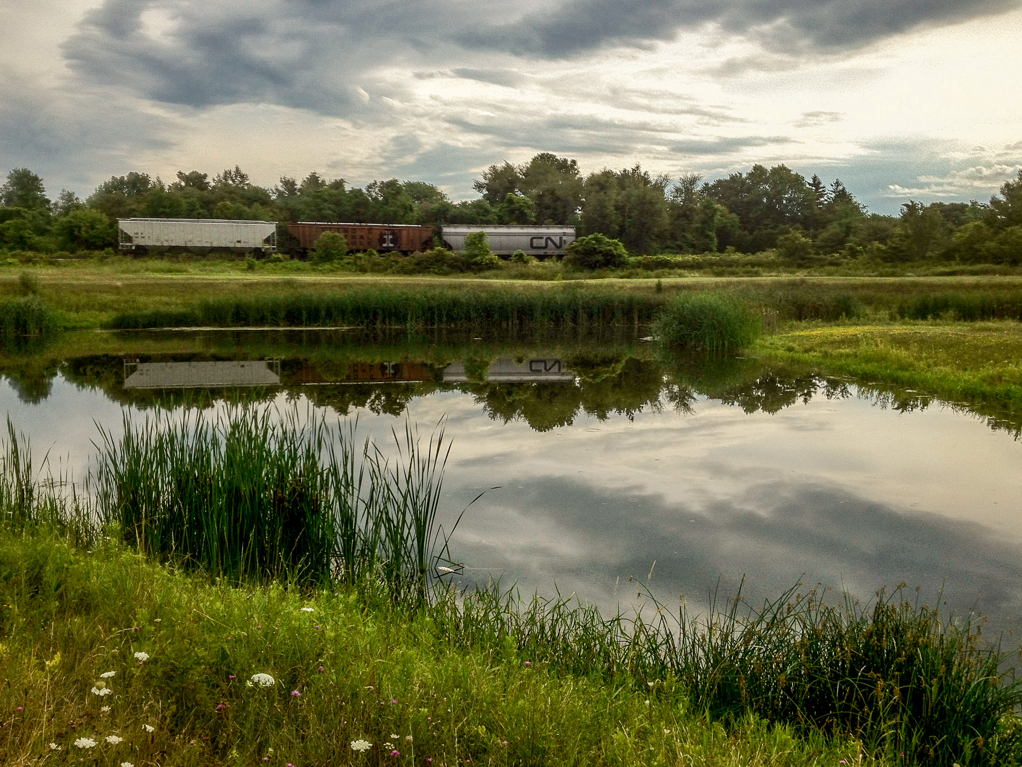
Train Cars by the Marsh
Topographic Map of 38 Victoria St, Londesborough, ON N0M 2H0, Canada
Find elevation by address:

Places near 38 Victoria St, Londesborough, ON N0M 2H0, Canada:
38 Victoria St
38 Victoria St
38 Victoria St
5 Albert St, Clinton, ON N0M 1L0, Canada
Clinton
98 Rattenbury St W
98 Rattenbury St
60 Walker St
Central Huron
Friends Of Hullett
Londesborough
Victoria St, Londesborough, ON N0M 2H0, Canada
Blyth
83343 Scott Line
41217 St Michaels Rd
Huron East
Brussels
250 Turnberry St
250 Turnberry St
250 Turnberry St
Recent Searches:
- Elevation of Unnamed Road, Respublika Severnaya Osetiya — Alaniya, Russia
- Elevation of Verkhny Fiagdon, North Ossetia–Alania Republic, Russia
- Elevation of F. Viola Hiway, San Rafael, Bulacan, Philippines
- Elevation of Herbage Dr, Gulfport, MS, USA
- Elevation of Lilac Cir, Haldimand, ON N3W 2G9, Canada
- Elevation of Harrod Branch Road, Harrod Branch Rd, Kentucky, USA
- Elevation of Wyndham Grand Barbados Sam Lords Castle All Inclusive Resort, End of Belair Road, Long Bay, Bridgetown Barbados
- Elevation of Iga Trl, Maggie Valley, NC, USA
- Elevation of N Co Rd 31D, Loveland, CO, USA
- Elevation of Lindever Ln, Palmetto, FL, USA