Elevation of Richfield Township, IL, USA
Location: United States > Illinois > Adams County >
Longitude: -91.077772
Latitude: 39.791171
Elevation: 229m / 751feet
Barometric Pressure: 99KPa
Elevation Map:
Satellite Map:
Related Photos:
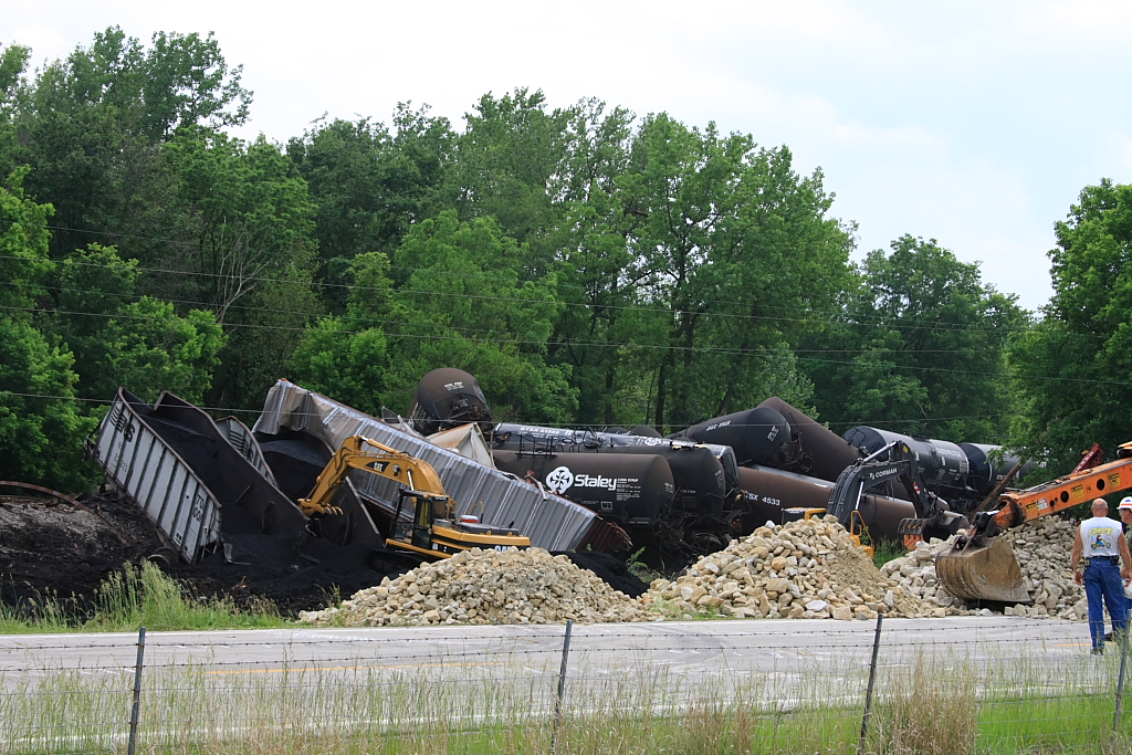
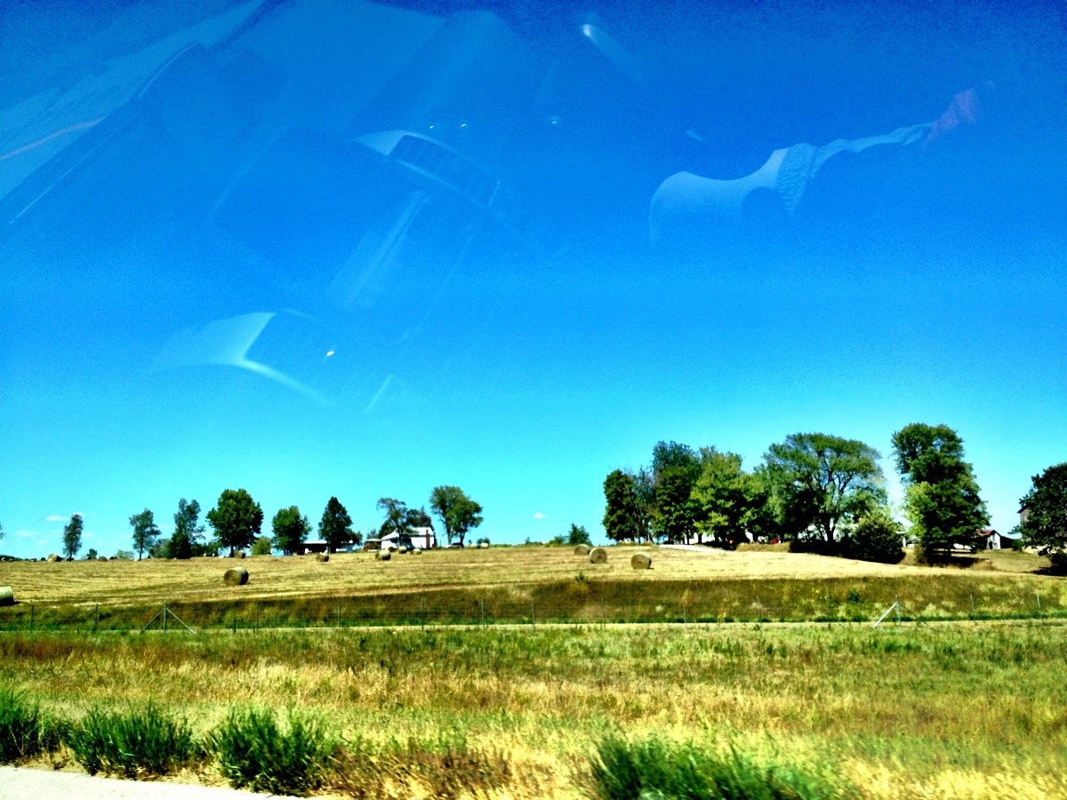
Magner #398 Derailment - #3
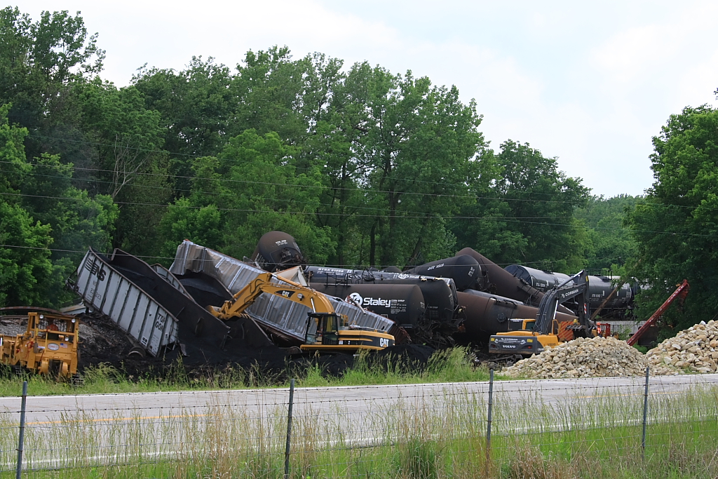
Magner #398 Derailment - #5

Above the Campfire
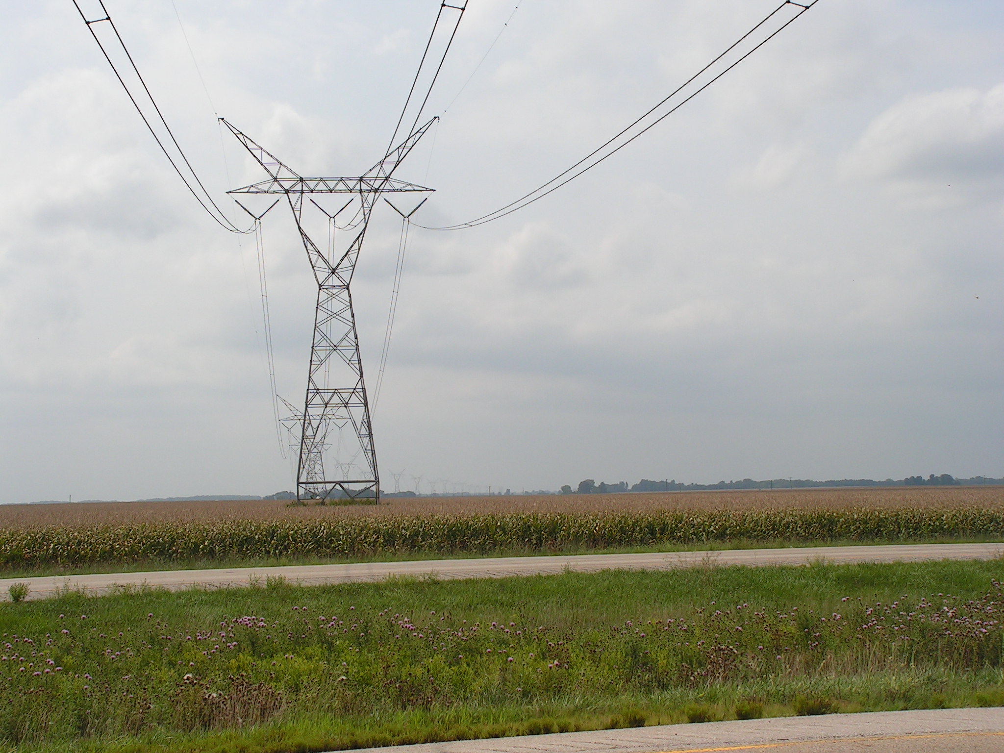
Towers of Power 5

Pines Aglow
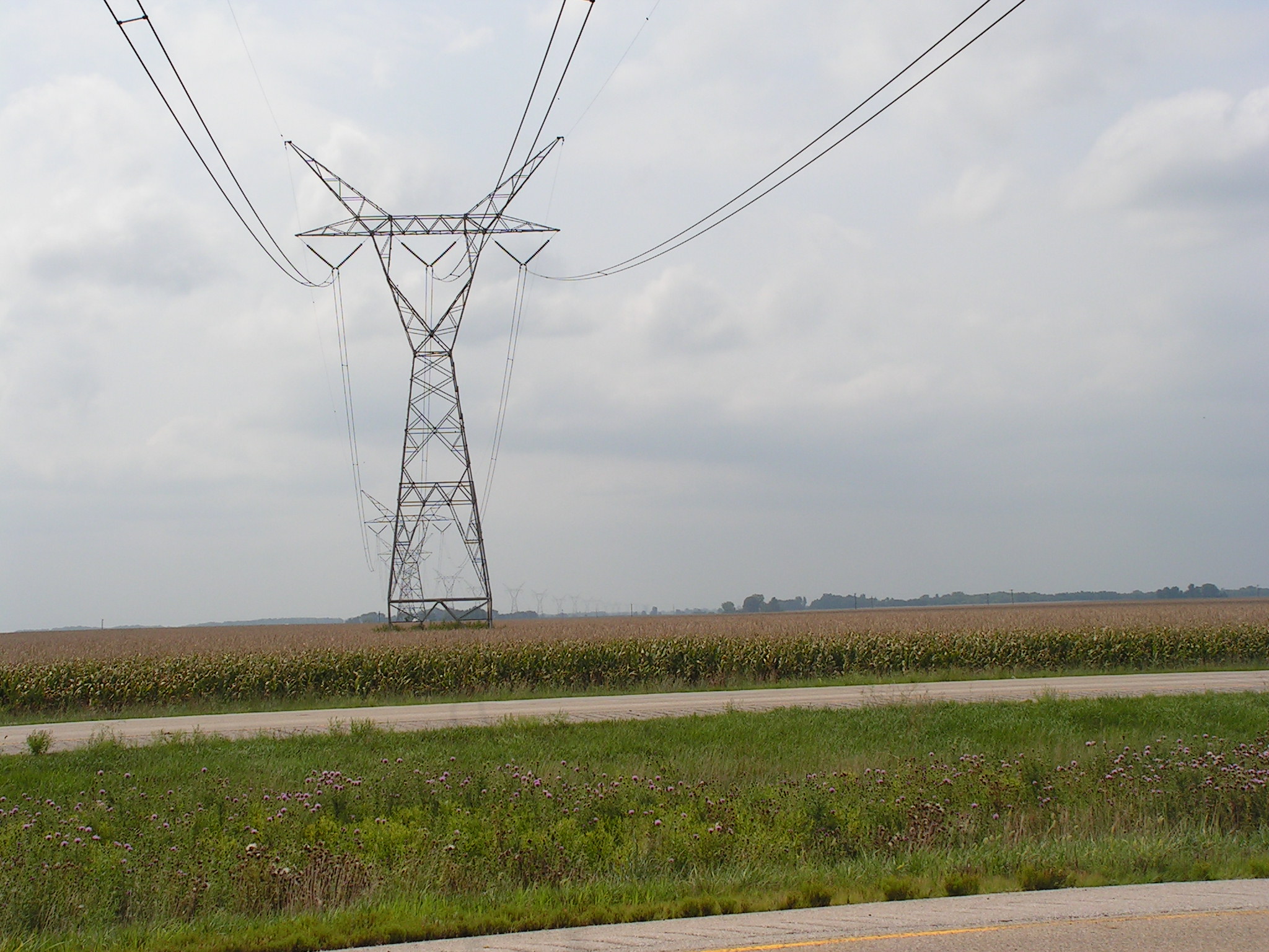
Towers of Power 4

Converging Pines

Day's End

Quiet Getaway

Warmth and Peace (Explored)
Camera Roll-688
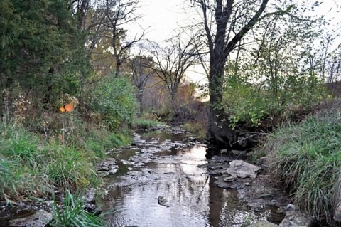
Mccraney Creek Fall 2011
Topographic Map of Richfield Township, IL, USA
Find elevation by address:

Places in Richfield Township, IL, USA:
Places near Richfield Township, IL, USA:
E th St, Plainville, IL, USA
Liberty Township
Beverly
E th St, Barry, IL, USA
186 E 2700th St
Liberty
Hannibal St, Liberty, IL, USA
Beverly Township
Payson Township
Burton Township
N th Ave, Liberty, IL, USA
Kinderhook Township
Elm St, Hull, IL, USA
Hull
Main St, New Canton, IL, USA
New Canton
Columbus Township
Pleasant Vale Township
S Main St, Payson, IL, USA
Payson
Recent Searches:
- Elevation of 6 Rue Jules Ferry, Beausoleil, France
- Elevation of Sattva Horizon, 4JC6+G9P, Vinayak Nagar, Kattigenahalli, Bengaluru, Karnataka, India
- Elevation of Great Brook Sports, Gold Star Hwy, Groton, CT, USA
- Elevation of 10 Mountain Laurels Dr, Nashua, NH, USA
- Elevation of 16 Gilboa Ln, Nashua, NH, USA
- Elevation of Laurel Rd, Townsend, TN, USA
- Elevation of 3 Nestling Wood Dr, Long Valley, NJ, USA
- Elevation of Ilungu, Tanzania
- Elevation of Yellow Springs Road, Yellow Springs Rd, Chester Springs, PA, USA
- Elevation of Rēzekne Municipality, Latvia