Elevation of Pleasant Vale Township, IL, USA
Location: United States > Illinois > Pike County >
Longitude: -91.077772
Latitude: 39.6261889
Elevation: 220m / 722feet
Barometric Pressure: 99KPa
Elevation Map:
Satellite Map:
Related Photos:
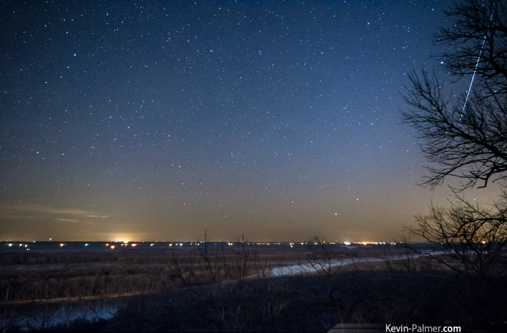
Hidden Fireball
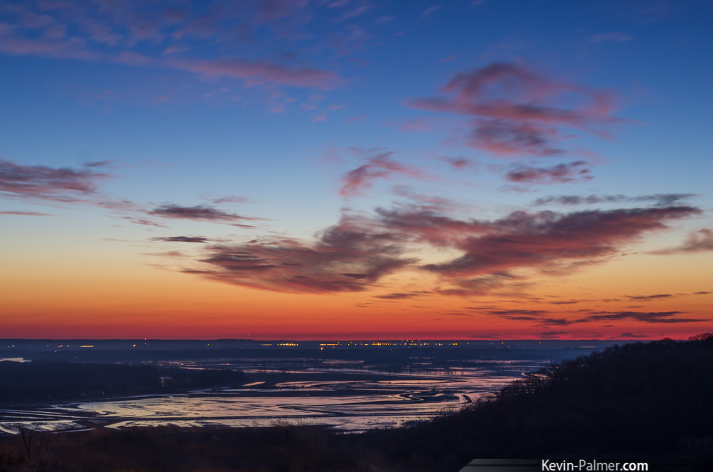
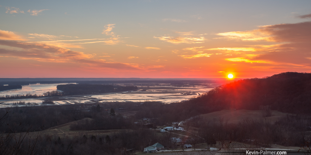
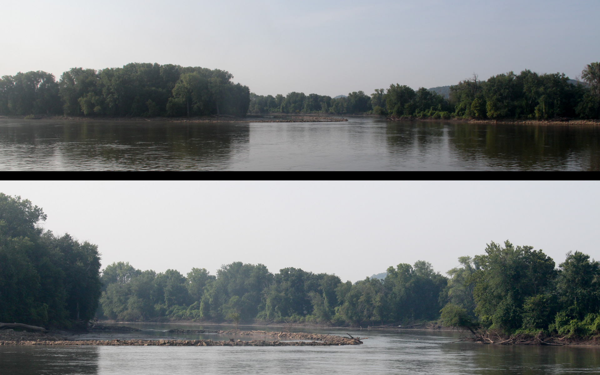
Great River Twilight
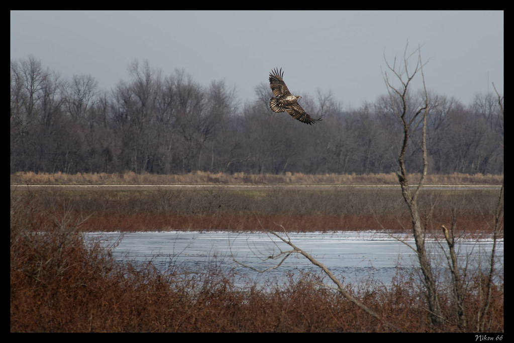
Immature Bald Eagle in Flight

Jet to the Moon
Icy Belt of Venus
Ashburn Sunrise

Eagle Watching the Sunrise at Ted Shanks Conservation Area

Immature Bald Eagle Landing on Tree
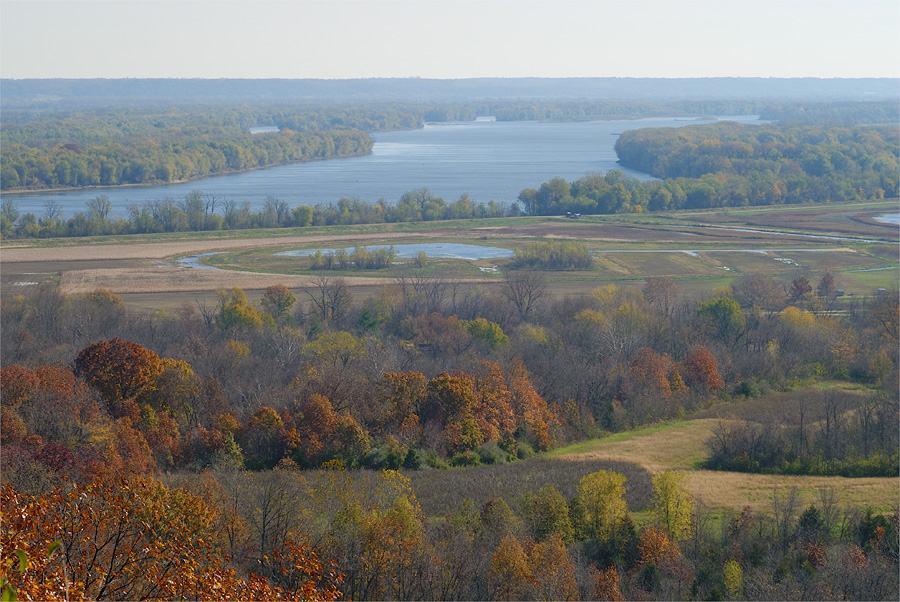
View of the Mississippi River, from scenic overlook at the Dupot Reservation Conservation Area, in Pike County, Missouri
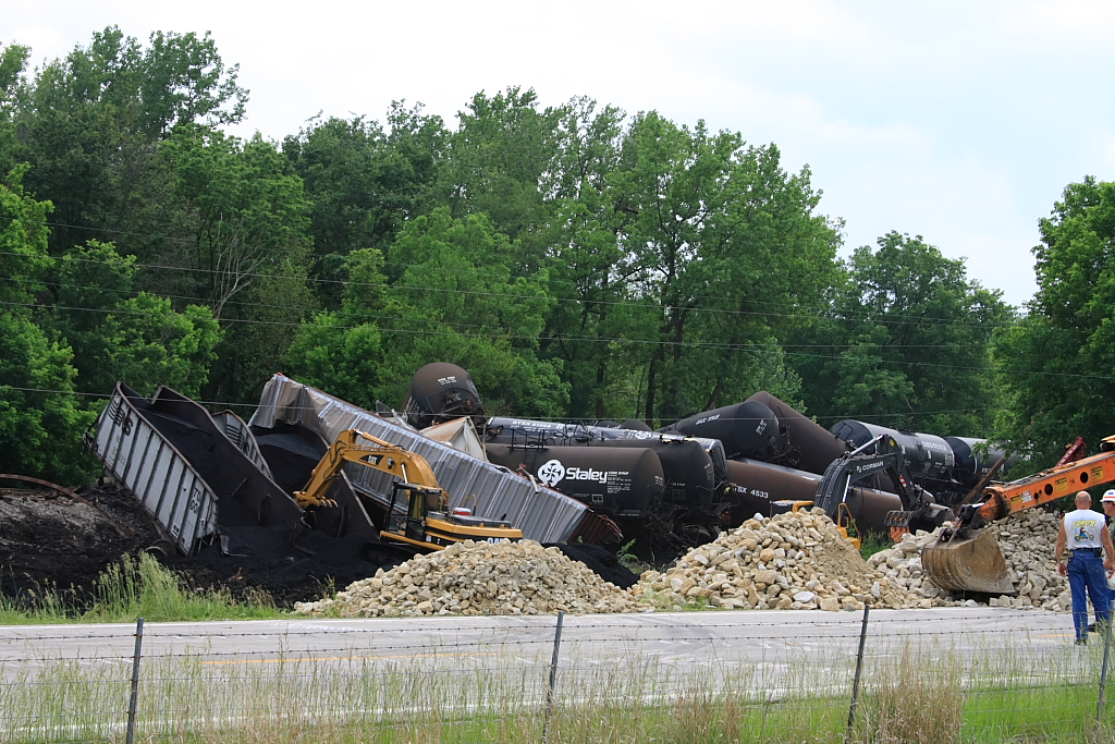
Magner #398 Derailment - #3
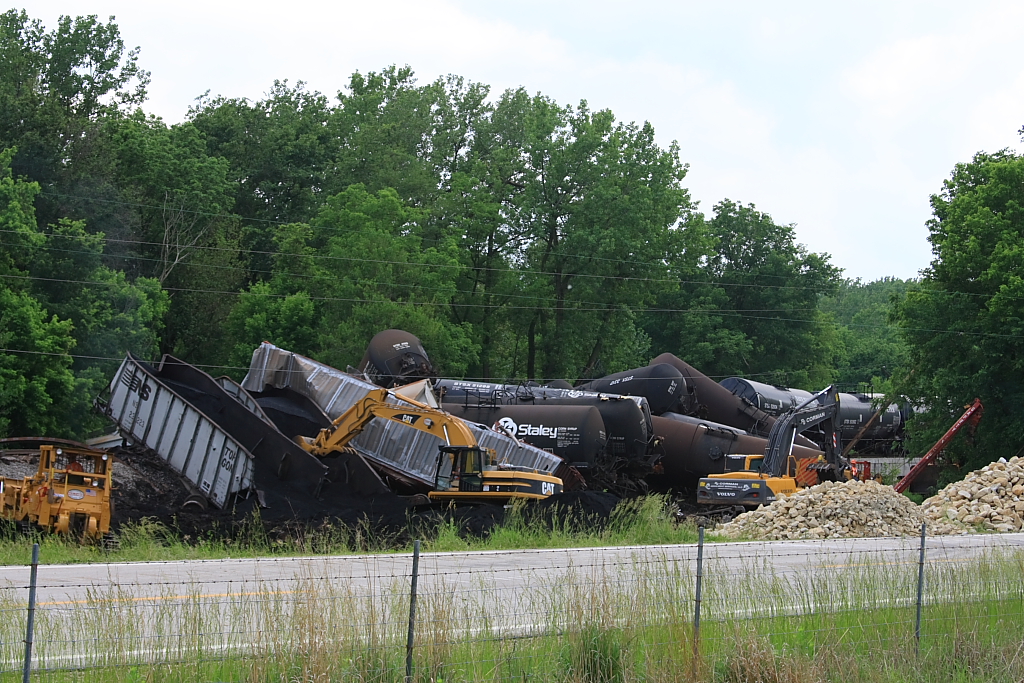
Magner #398 Derailment - #5
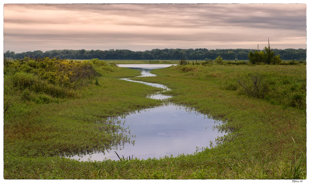
Wetlands at Ted Shanks Conservation Area

Hound Dog at Ted Shanks Conservation Area

Sunrise at Ted Shanks Conservation Area
Camera Roll-688
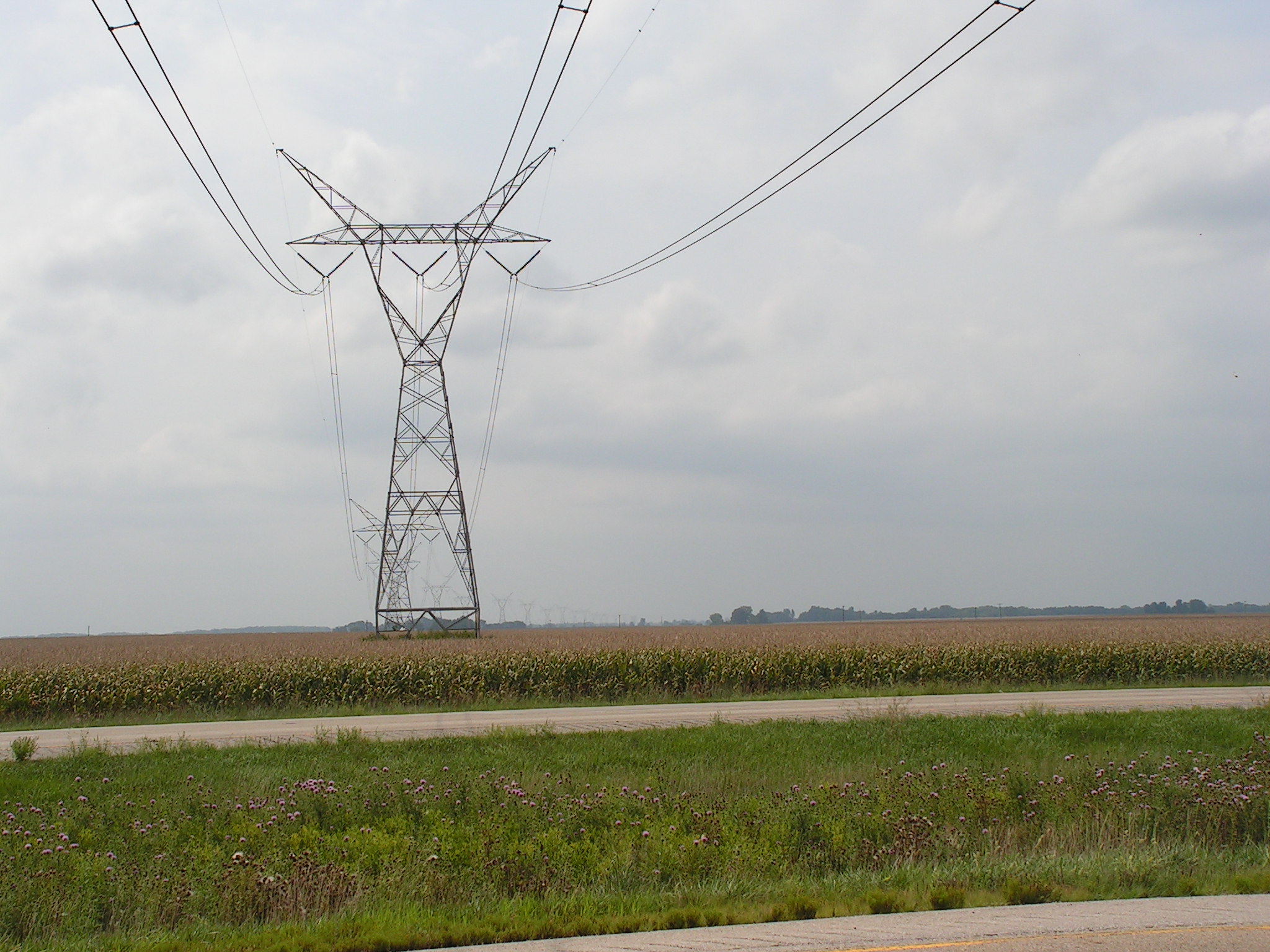
Towers of Power 5
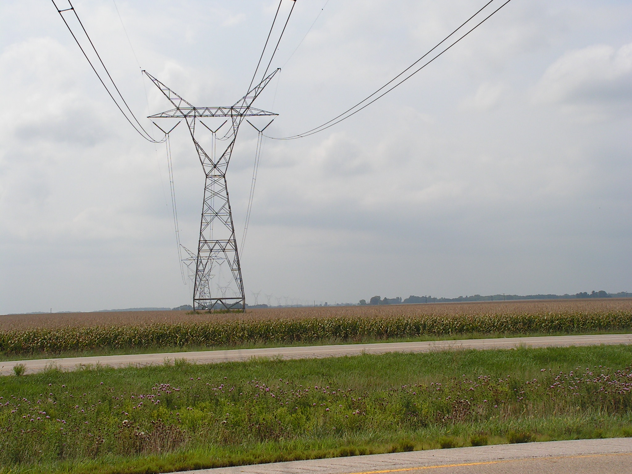
Towers of Power 4
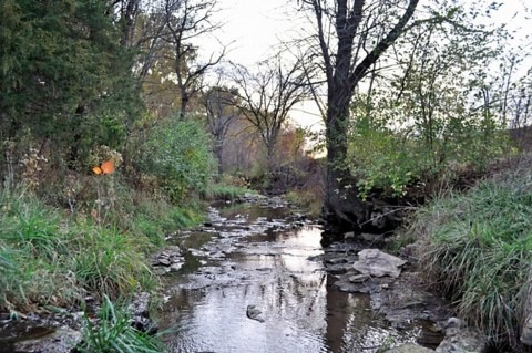
Mccraney Creek Fall 2011
Sunlight peeking

Bloody Morning
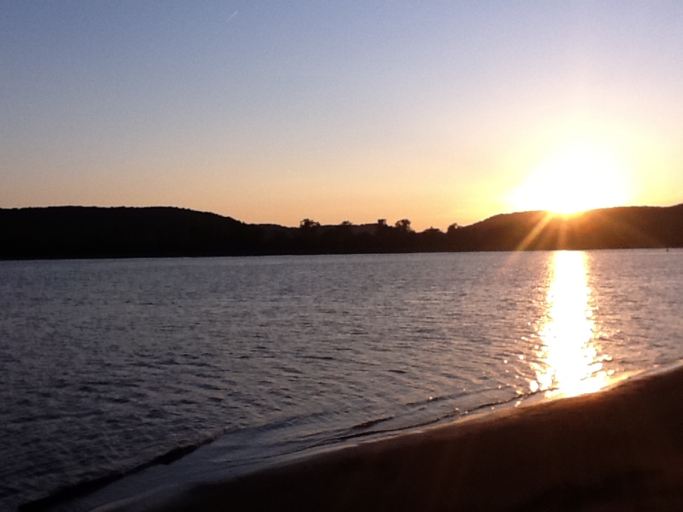
photo.JPG
Aged To Perfection
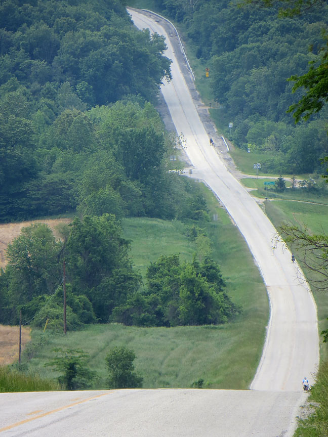
Highway 79
Channel Control Dyke at Blackbird Island

Shanks Conservation Area (MO)
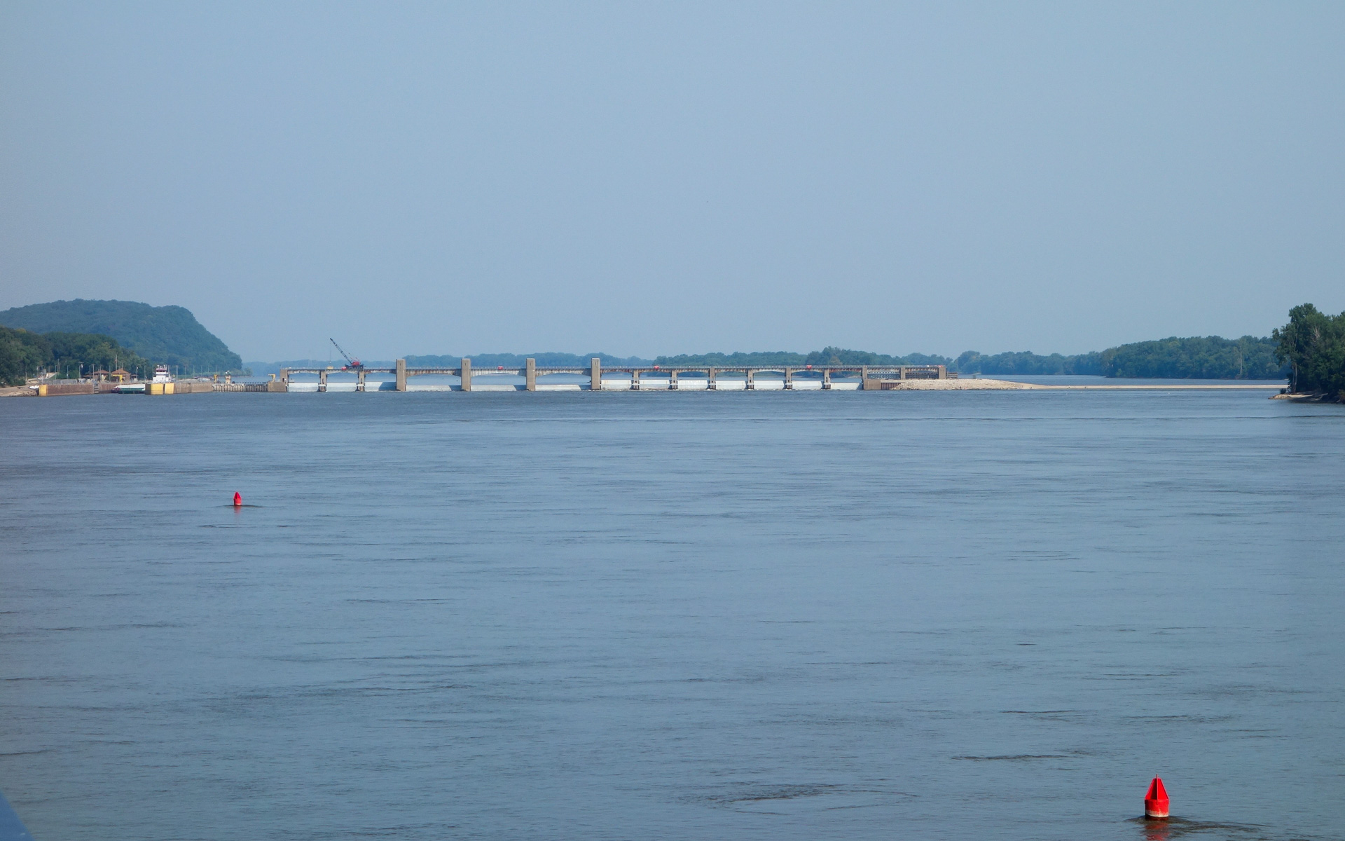
Lock (left), Dam, and Dyke
Topographic Map of Pleasant Vale Township, IL, USA
Find elevation by address:

Places in Pleasant Vale Township, IL, USA:
Places near Pleasant Vale Township, IL, USA:
New Canton
Main St, New Canton, IL, USA
23681 230th St
Rockport
Atlas Township
E, Rockport, IL, USA
Kinderhook Township
Elm St, Hull, IL, USA
Hull
31711 Jim Town Hollow Rd
Richfield Township
US-54, Rockport, IL, USA
US-54, Rockport, IL, USA
US-54, Pleasant Hill, IL, USA
Louisiana
801 Georgia St
186 E 2700th St
E th St, Barry, IL, USA
Beverly
3300b
Recent Searches:
- Elevation of 6 Rue Jules Ferry, Beausoleil, France
- Elevation of Sattva Horizon, 4JC6+G9P, Vinayak Nagar, Kattigenahalli, Bengaluru, Karnataka, India
- Elevation of Great Brook Sports, Gold Star Hwy, Groton, CT, USA
- Elevation of 10 Mountain Laurels Dr, Nashua, NH, USA
- Elevation of 16 Gilboa Ln, Nashua, NH, USA
- Elevation of Laurel Rd, Townsend, TN, USA
- Elevation of 3 Nestling Wood Dr, Long Valley, NJ, USA
- Elevation of Ilungu, Tanzania
- Elevation of Yellow Springs Road, Yellow Springs Rd, Chester Springs, PA, USA
- Elevation of Rēzekne Municipality, Latvia