Elevation of N th Ave, Liberty, IL, USA
Location: United States > Illinois > Adams County > Burton Township >
Longitude: -91.198573
Latitude: 39.8649739
Elevation: 236m / 774feet
Barometric Pressure: 99KPa
Elevation Map:
Satellite Map:
Related Photos:
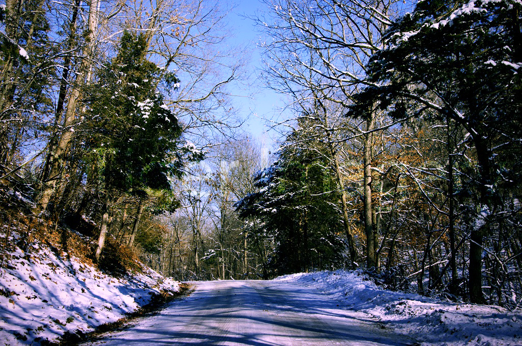
A Winter Drive

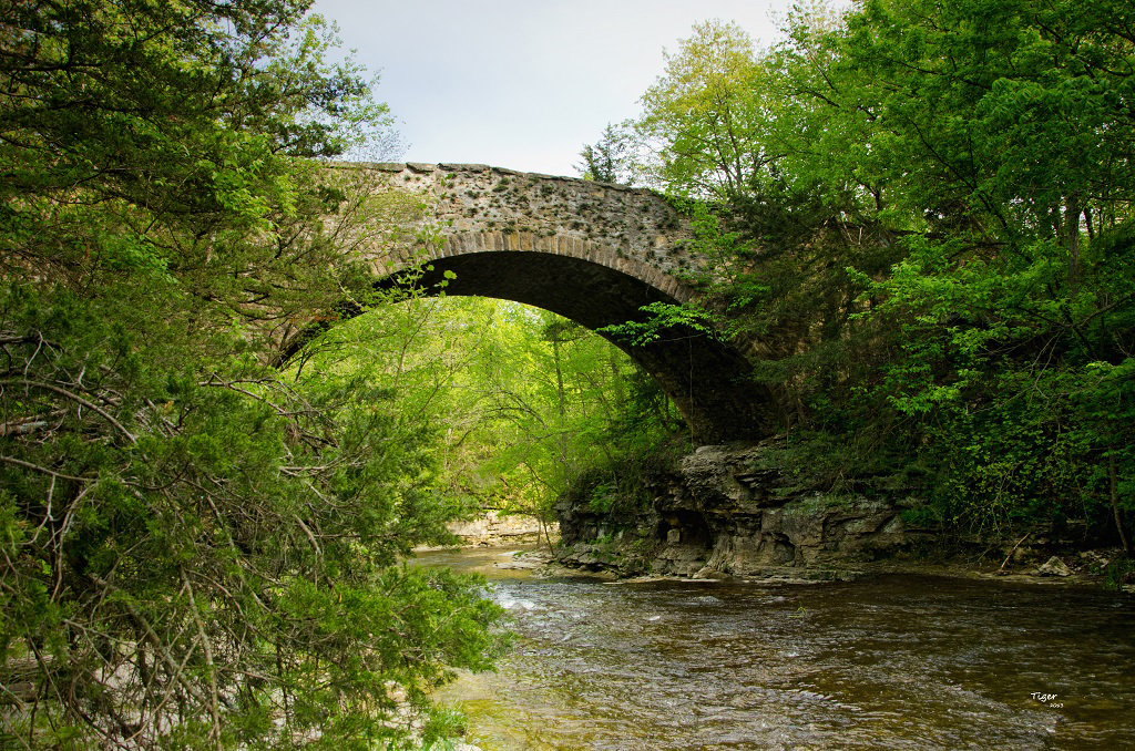
Stone Arch Bridge

Into the Light

Evening Falls

Fire and Water

Evening Light

Sunset walk while dog sitting with Honey #sunset #quincy #illinois #dogwalk
Fall Creek

Colorful sunrise!! #quincy #illinois

In the Mist

Behind the Clouds

Fall Creek

Trickle of Water

Moon Over Miami

The Light Within
A Rainy October Day

Adams County Ill 122

Lost in You

Adams County Ill 118

Camera Roll-688

Adams County Ill 121

Adams County Ill 102
Topographic Map of N th Ave, Liberty, IL, USA
Find elevation by address:

Places near N th Ave, Liberty, IL, USA:
Burton Township
Co Rd 5, Quincy, IL, USA
S Main St, Payson, IL, USA
Payson
209 W Perkins St
Payson Township
Hannibal St, Liberty, IL, USA
Liberty
E th St, Plainville, IL, USA
N th Ave, Fowler, IL, USA
Liberty Township
Gilmer Township
Columbus
E Liberty St, Camp Point, IL, USA
Richfield Township
Melrose Township
Columbus Township
5101 Broadway St
Fowler
E th St, Paloma, IL, USA
Recent Searches:
- Elevation of Duckhorn Ct, Las Vegas, NV, USA
- Elevation of Garretts Run Rd, Ford City, PA, USA
- Elevation of N WI-55, Freedom, WI, USA
- Elevation map of Hadiya, Ethiopia
- Elevation of Hosaina, Ethiopia
- Elevation of Verde Terrace, North Port, FL, USA
- Elevation of US-, Leesburg, FL, USA
- Elevation of Summit Dr, Kerrville, TX, USA
- Elevation of Hanson Rd, Cedaredge, CO, USA
- Elevation of Maxine St NE, Albuquerque, NM, USA