Elevation of Liberty, IL, USA
Location: United States > Illinois > Adams County > Liberty Township >
Longitude: -91.107916
Latitude: 39.8794914
Elevation: 230m / 755feet
Barometric Pressure: 99KPa
Elevation Map:
Satellite Map:
Related Photos:

Above the Campfire

Pines Aglow

Converging Pines

Into the Light

Day's End

Quiet Getaway

Warmth and Peace (Explored)

Fire and Water
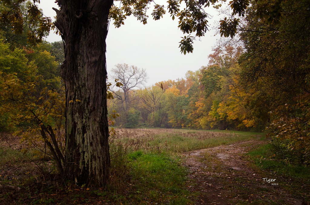
A Rainy October Day

The Light Within
Camera Roll-688
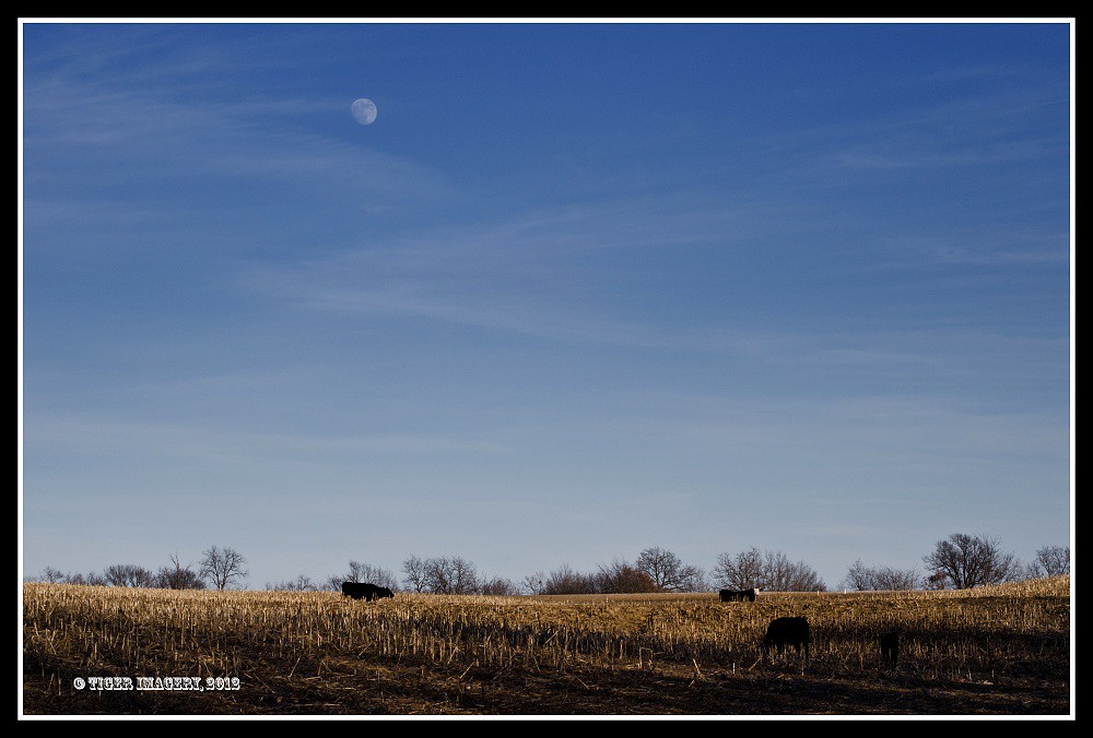
Moon Over Miami
Topographic Map of Liberty, IL, USA
Find elevation by address:

Places in Liberty, IL, USA:
Places near Liberty, IL, USA:
Hannibal St, Liberty, IL, USA
Liberty Township
E th St, Plainville, IL, USA
Columbus Township
Burton Township
N th Ave, Liberty, IL, USA
Richfield Township
E Liberty St, Camp Point, IL, USA
Columbus
Payson Township
N th Ave, Fowler, IL, USA
Co Rd 5, Quincy, IL, USA
Gilmer Township
Beverly
E th St, Barry, IL, USA
S Main St, Payson, IL, USA
Payson
186 E 2700th St
209 W Perkins St
Coatsburg
Recent Searches:
- Elevation of Duckhorn Ct, Las Vegas, NV, USA
- Elevation of Garretts Run Rd, Ford City, PA, USA
- Elevation of N WI-55, Freedom, WI, USA
- Elevation map of Hadiya, Ethiopia
- Elevation of Hosaina, Ethiopia
- Elevation of Verde Terrace, North Port, FL, USA
- Elevation of US-, Leesburg, FL, USA
- Elevation of Summit Dr, Kerrville, TX, USA
- Elevation of Hanson Rd, Cedaredge, CO, USA
- Elevation of Maxine St NE, Albuquerque, NM, USA