Elevation of Coatsburg, IL, USA
Location: United States > Illinois > Adams County > Honey Creek Township >
Longitude: -91.159707
Latitude: 40.0320961
Elevation: 233m / 764feet
Barometric Pressure: 99KPa
Elevation Map:
Satellite Map:
Related Photos:

Paloma, IL.
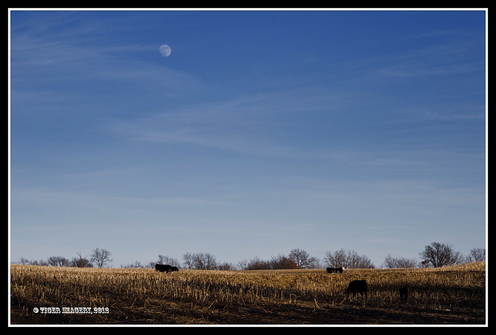
Moon Over Miami

So this bad boy is taking me to STL. I hope it has heat!! #quincy #illinois #blackandwhite

Old Vines
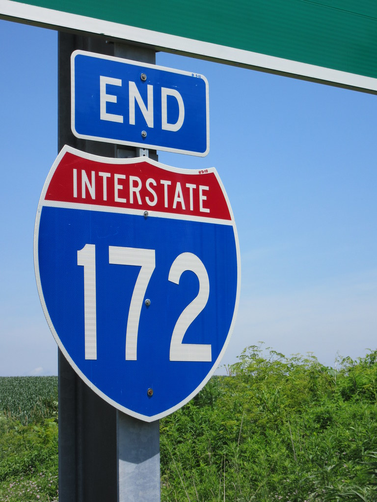
End of Interstate 172

Lewis Round Barn, Mendon, IL
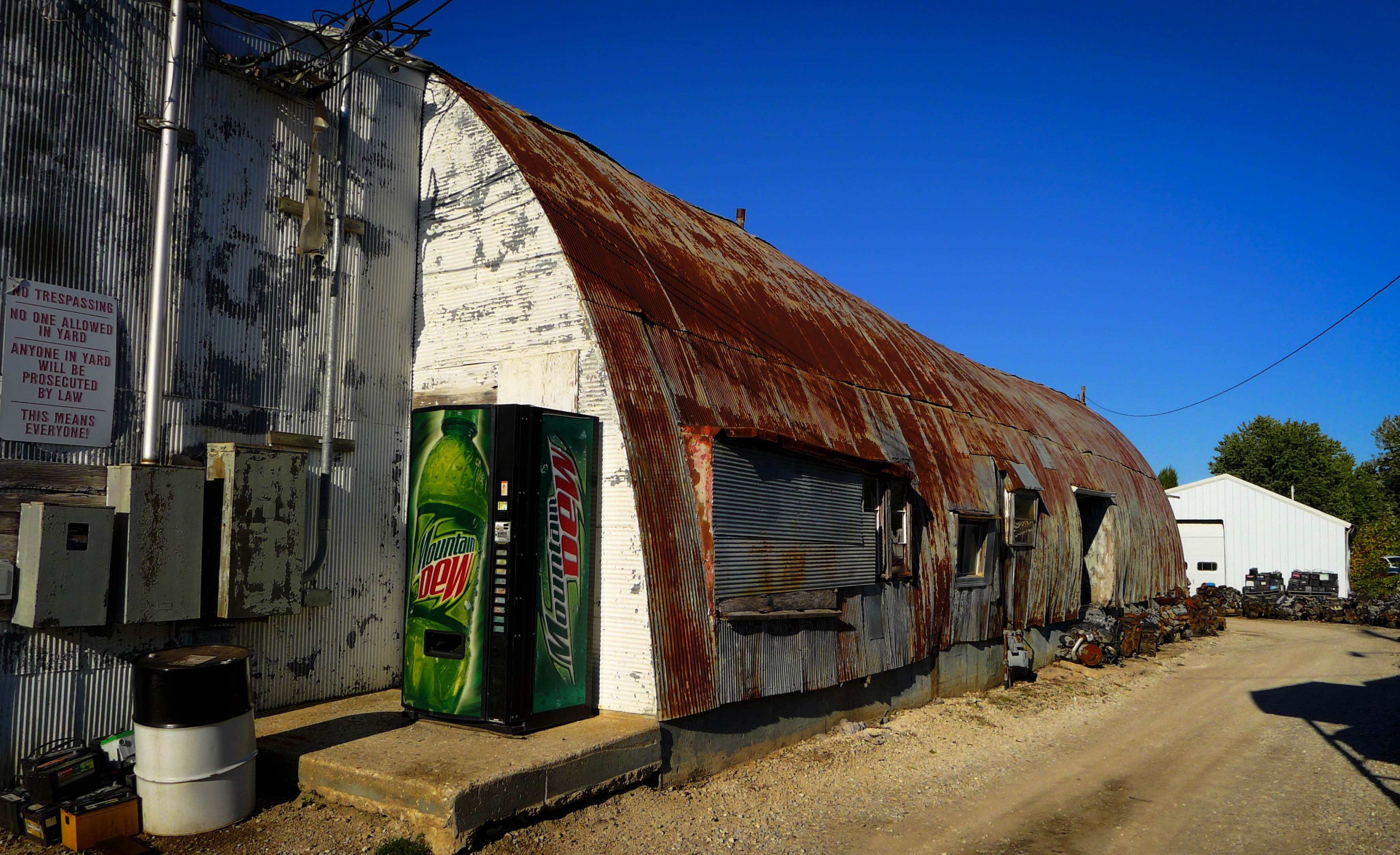
Junk Yard

Prairie Mills Windmill, Golden, IL
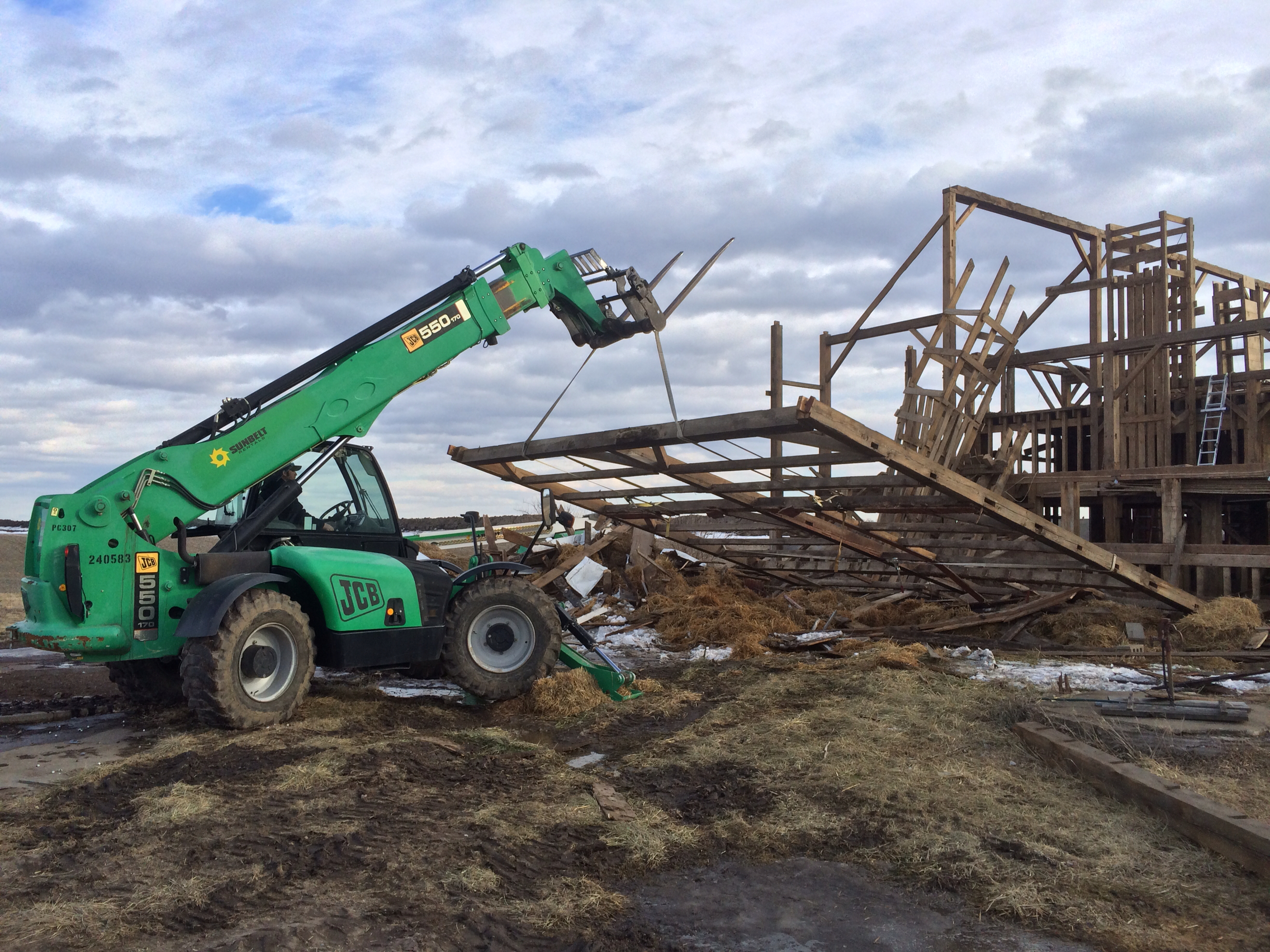
A little at a time

2014-Day 19: Rollerskating!

Visit to Karen's parents farm_31109937_5925_n

2014-Day 7: Back to the Cold

Visit to Karen's parents farm_31109937_5925_n

#sunset #quincy #illinois
#colors #leaves #stream #quincy #illinois

#frozen #stream #leaves

Paloma, IL.

Paloma, IL.
Paloma Farm

Farm Town

Starry Sky
Rodeo Man
Topographic Map of Coatsburg, IL, USA
Find elevation by address:

Places in Coatsburg, IL, USA:
Places near Coatsburg, IL, USA:
N Main St, Coatsburg, IL, USA
Adams County
E th St, Paloma, IL, USA
Paloma
Columbus
E Liberty St, Camp Point, IL, USA
Gilmer Township
Honey Creek Township
N th Ave, Fowler, IL, USA
S Main St, Camp Point, IL, USA
Camp Point
Fowler
Columbus Township
County Rd E, Quincy, IL, USA
Ellington Township
Co Rd 5, Quincy, IL, USA
Mendon Township
5101 Broadway St
King St, Quincy, IL, USA
W Maple Ave, Ursa, IL, USA
Recent Searches:
- Elevation of SW 57th Ave, Portland, OR, USA
- Elevation of Crocker Dr, Vacaville, CA, USA
- Elevation of Pu Ngaol Community Meeting Hall, HWHM+3X7, Krong Saen Monourom, Cambodia
- Elevation of Royal Ontario Museum, Queens Park, Toronto, ON M5S 2C6, Canada
- Elevation of Groblershoop, South Africa
- Elevation of Power Generation Enterprises | Industrial Diesel Generators, Oak Ave, Canyon Country, CA, USA
- Elevation of Chesaw Rd, Oroville, WA, USA
- Elevation of N, Mt Pleasant, UT, USA
- Elevation of 6 Rue Jules Ferry, Beausoleil, France
- Elevation of Sattva Horizon, 4JC6+G9P, Vinayak Nagar, Kattigenahalli, Bengaluru, Karnataka, India