Elevation of N Main St, Coatsburg, IL, USA
Location: United States > Illinois > Adams County > Honey Creek Township > Coatsburg >
Longitude: -91.157556
Latitude: 40.033253
Elevation: 233m / 764feet
Barometric Pressure: 99KPa
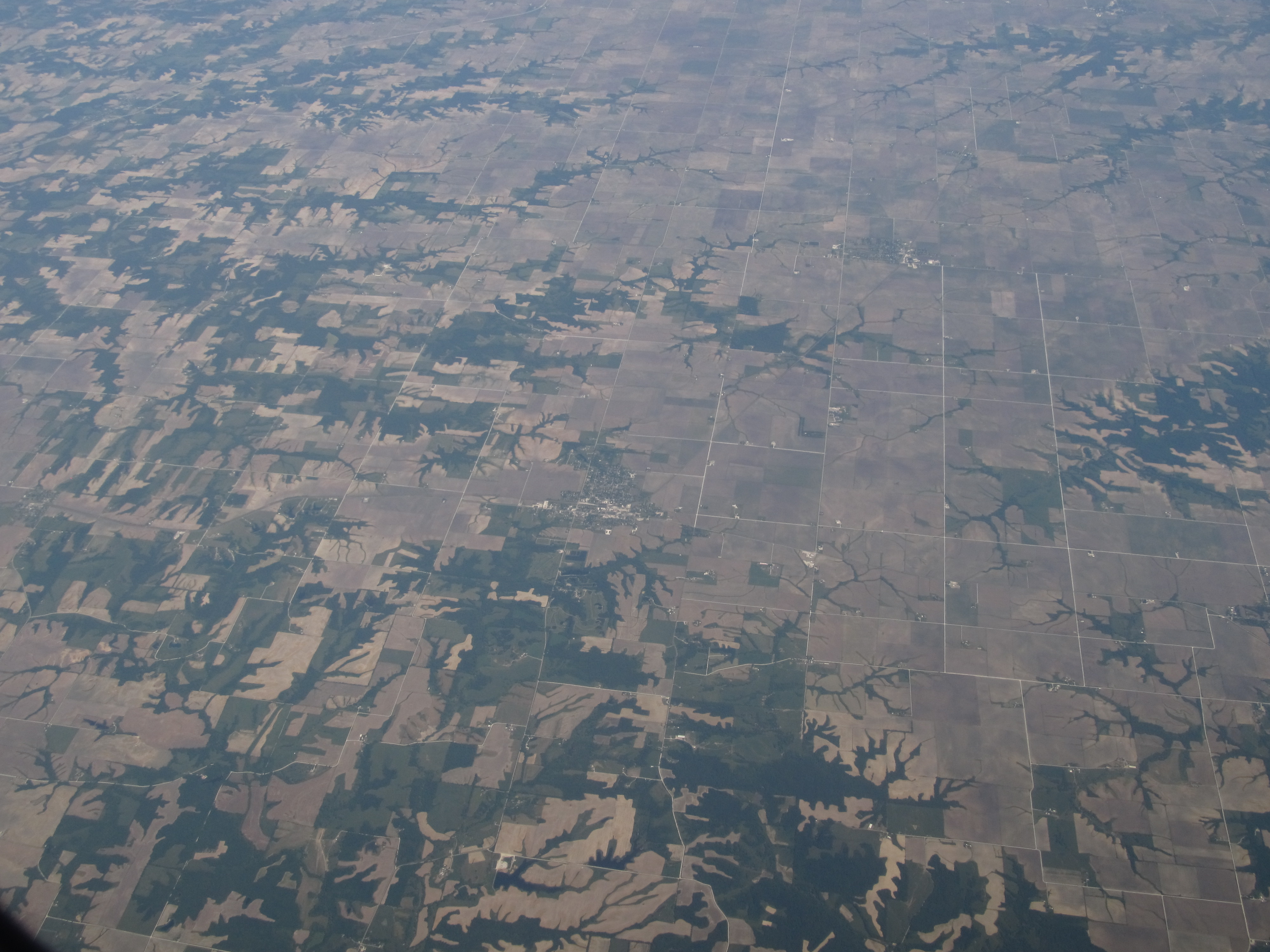
Elevation Map:
Satellite Map:
Related Photos:

Paloma, IL.
Moon Over Miami

So this bad boy is taking me to STL. I hope it has heat!! #quincy #illinois #blackandwhite

Old Vines

Lewis Round Barn, Mendon, IL

Prairie Mills Windmill, Golden, IL
A little at a time

2014-Day 19: Rollerskating!

Visit to Karen's parents farm_31109937_5925_n

2014-Day 7: Back to the Cold

Visit to Karen's parents farm_31109937_5925_n

#sunset #quincy #illinois
#colors #leaves #stream #quincy #illinois

#frozen #stream #leaves

Paloma, IL.

Paloma, IL.
Paloma Farm

Farm Town

Starry Sky
Camp Point, Illinois
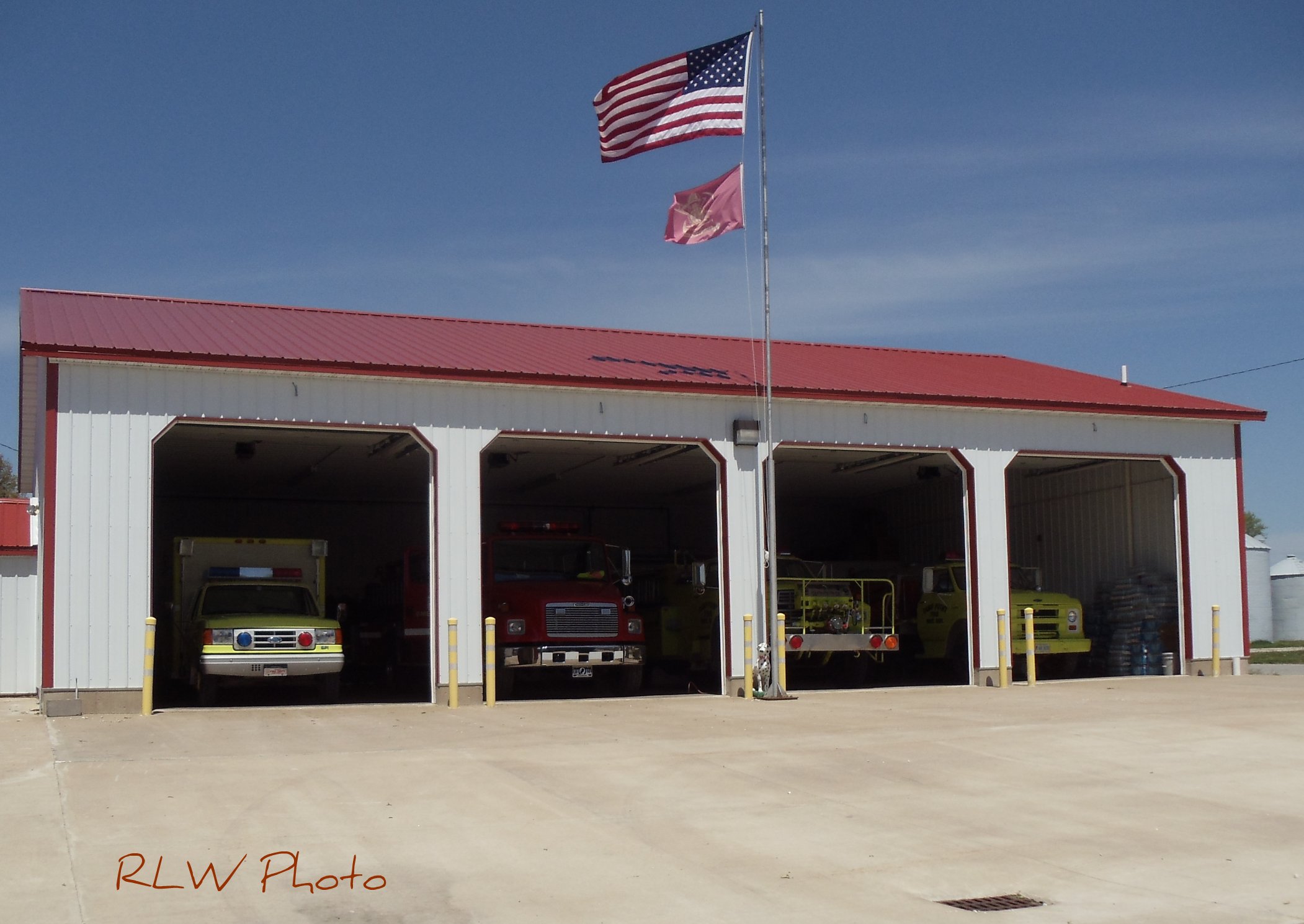
Camp Point, Illinois Fire
Topographic Map of N Main St, Coatsburg, IL, USA
Find elevation by address:

Places near N Main St, Coatsburg, IL, USA:
Coatsburg
Adams County
E th St, Paloma, IL, USA
Paloma
Columbus
E Liberty St, Camp Point, IL, USA
Gilmer Township
Honey Creek Township
N th Ave, Fowler, IL, USA
S Main St, Camp Point, IL, USA
Camp Point
Fowler
Columbus Township
County Rd E, Quincy, IL, USA
Ellington Township
Co Rd 5, Quincy, IL, USA
Mendon Township
5101 Broadway St
King St, Quincy, IL, USA
W Maple Ave, Ursa, IL, USA
Recent Searches:
- Elevation of Royal Ontario Museum, Queens Park, Toronto, ON M5S 2C6, Canada
- Elevation of Groblershoop, South Africa
- Elevation of Power Generation Enterprises | Industrial Diesel Generators, Oak Ave, Canyon Country, CA, USA
- Elevation of Chesaw Rd, Oroville, WA, USA
- Elevation of N, Mt Pleasant, UT, USA
- Elevation of 6 Rue Jules Ferry, Beausoleil, France
- Elevation of Sattva Horizon, 4JC6+G9P, Vinayak Nagar, Kattigenahalli, Bengaluru, Karnataka, India
- Elevation of Great Brook Sports, Gold Star Hwy, Groton, CT, USA
- Elevation of 10 Mountain Laurels Dr, Nashua, NH, USA
- Elevation of 16 Gilboa Ln, Nashua, NH, USA