Elevation of Rice, WA, USA
Location: United States > Washington > Stevens County >
Longitude: -118.17085
Latitude: 48.4288285
Elevation: 524m / 1719feet
Barometric Pressure: 95KPa
Elevation Map:
Satellite Map:
Related Photos:
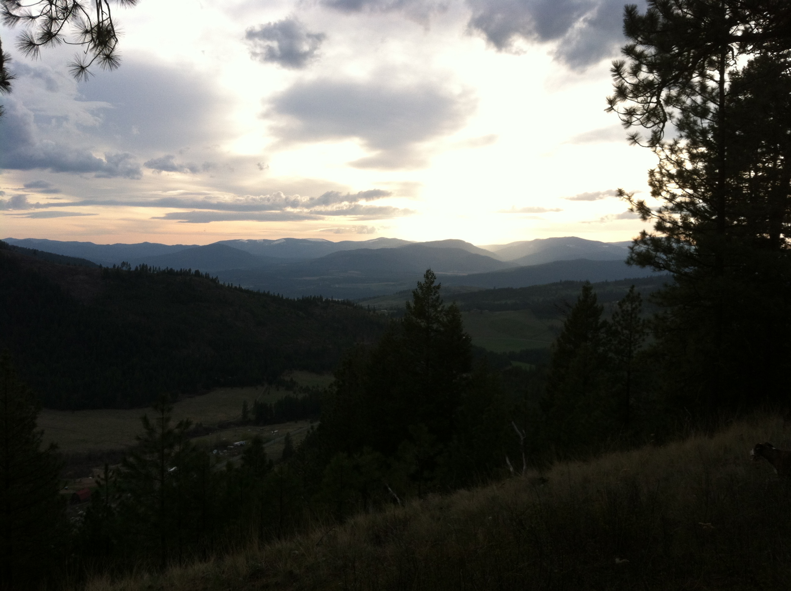
Hiking: Overlook of our Valley
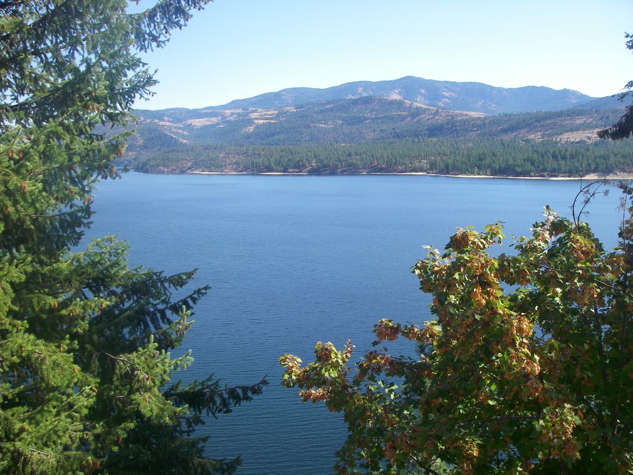
Beautiful views of Lake Roosevelt
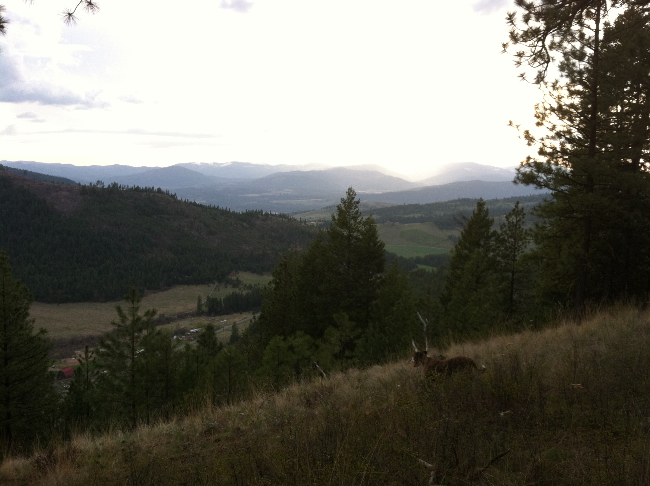
Hiking: Overlook of our Valley
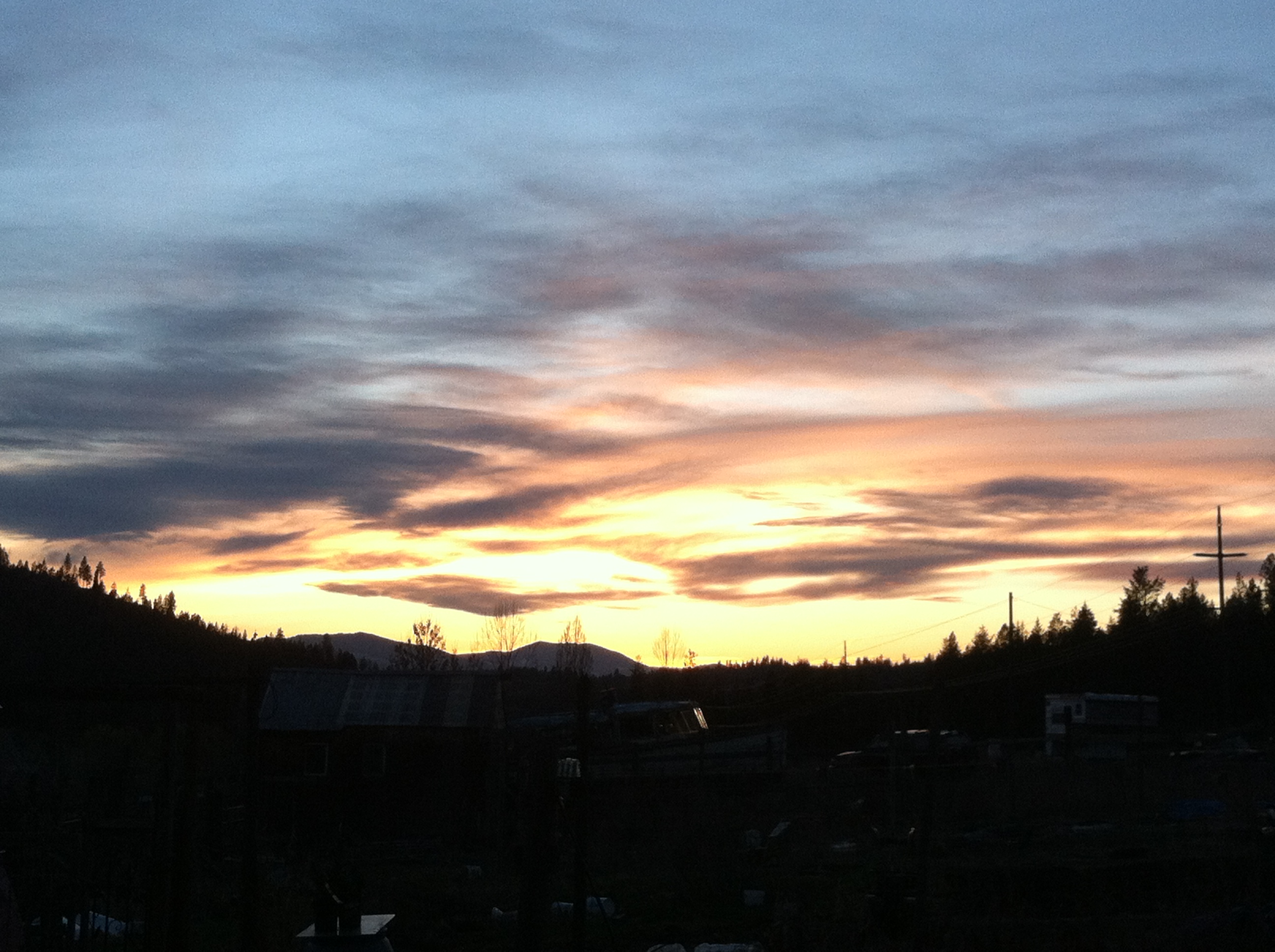
Home: Sunset

Home: Hiking with the Sooz
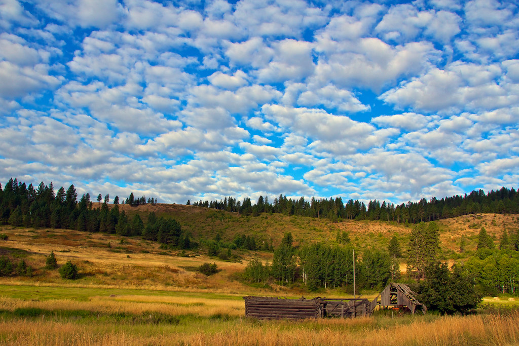
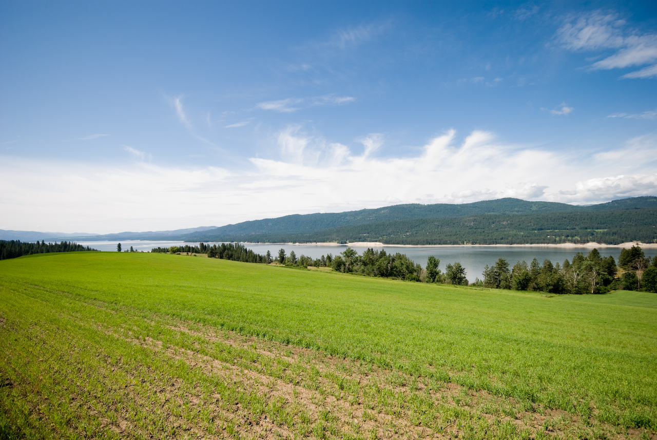
Field & Sky
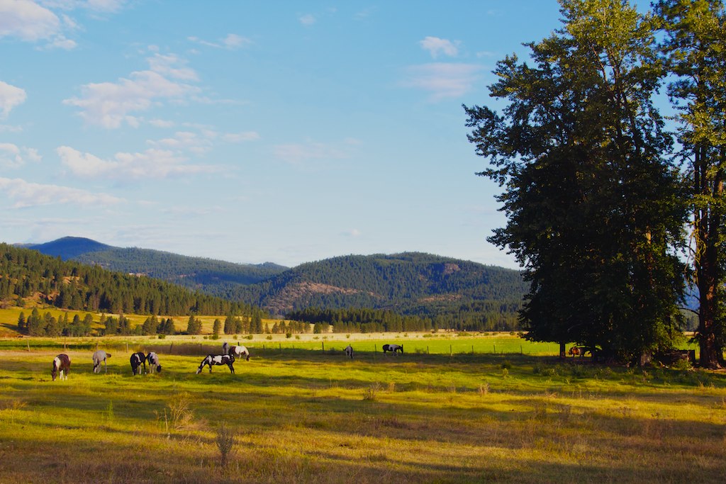
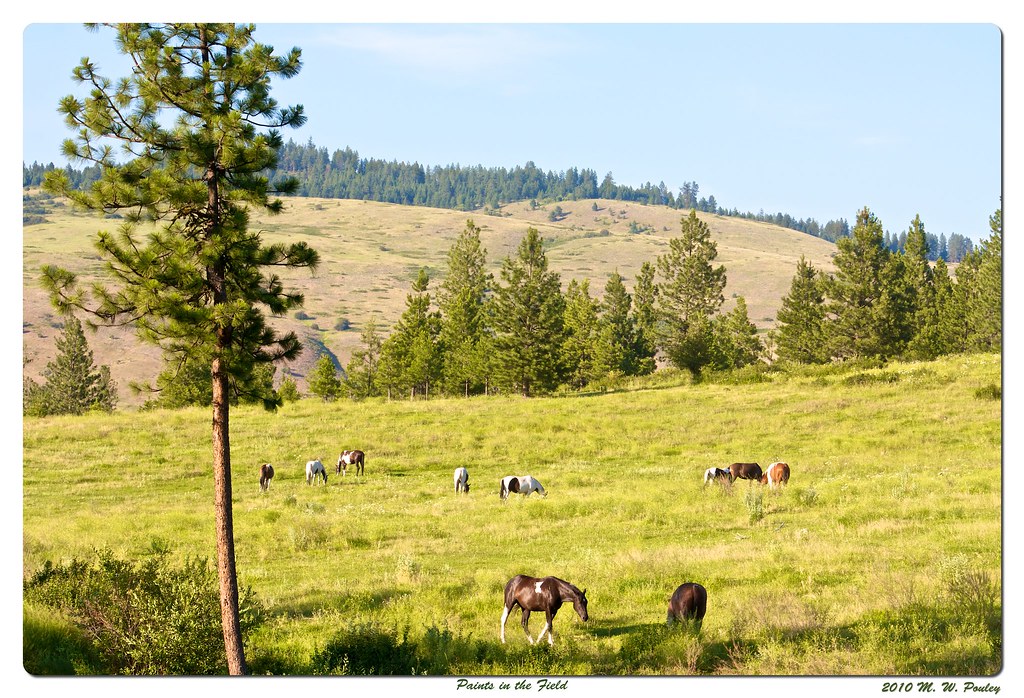
Grazing in Beauty
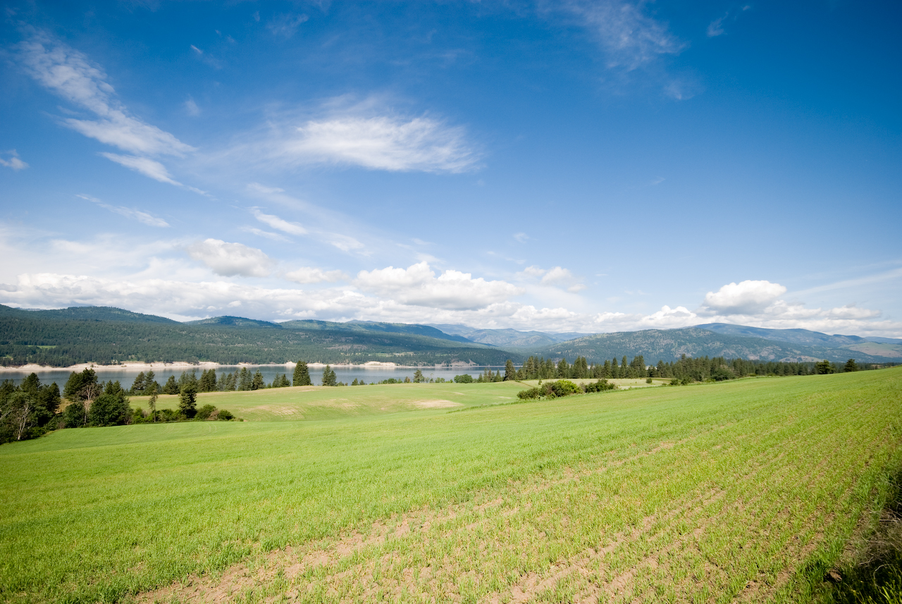
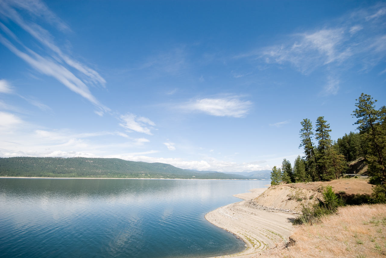
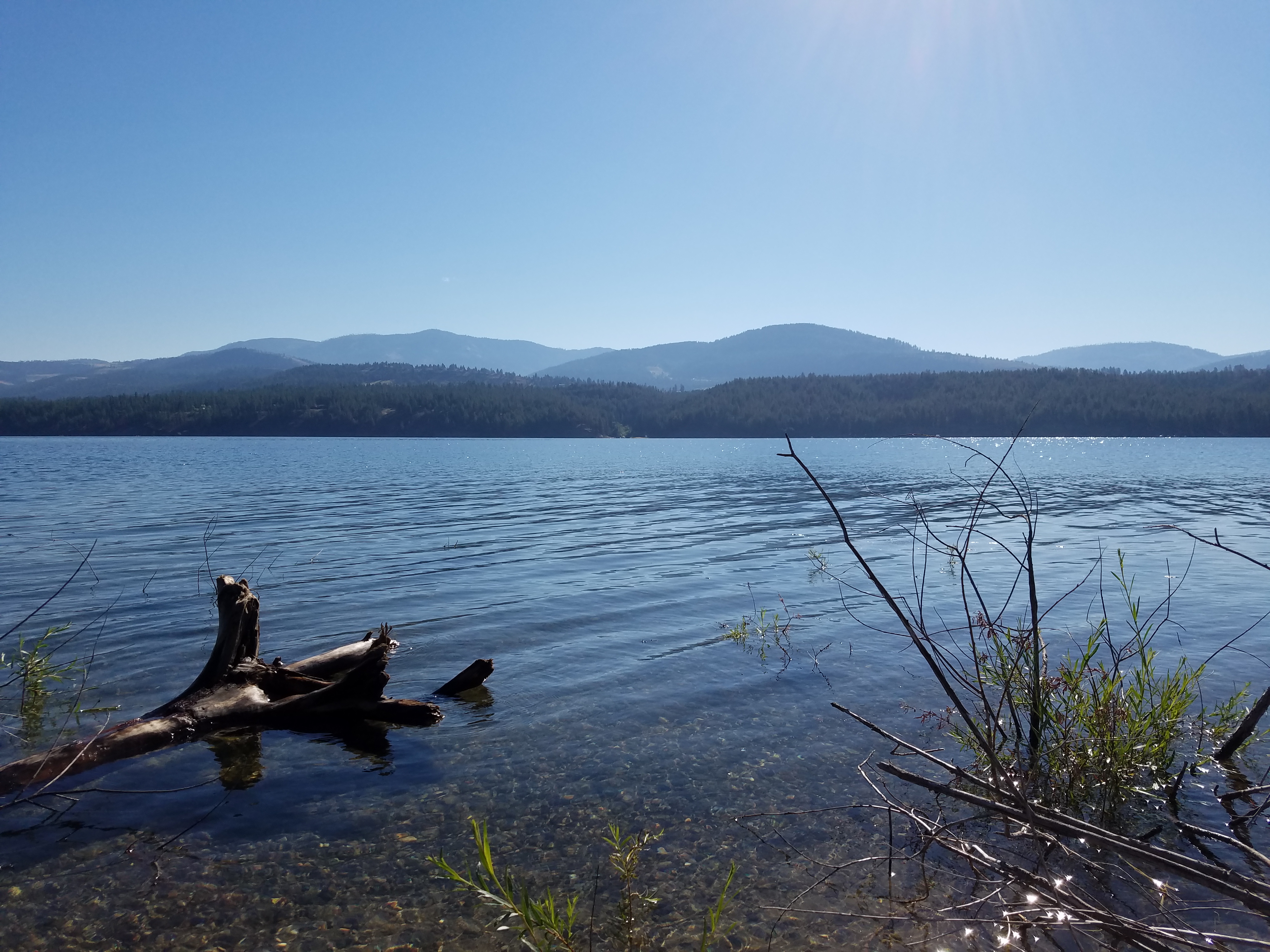
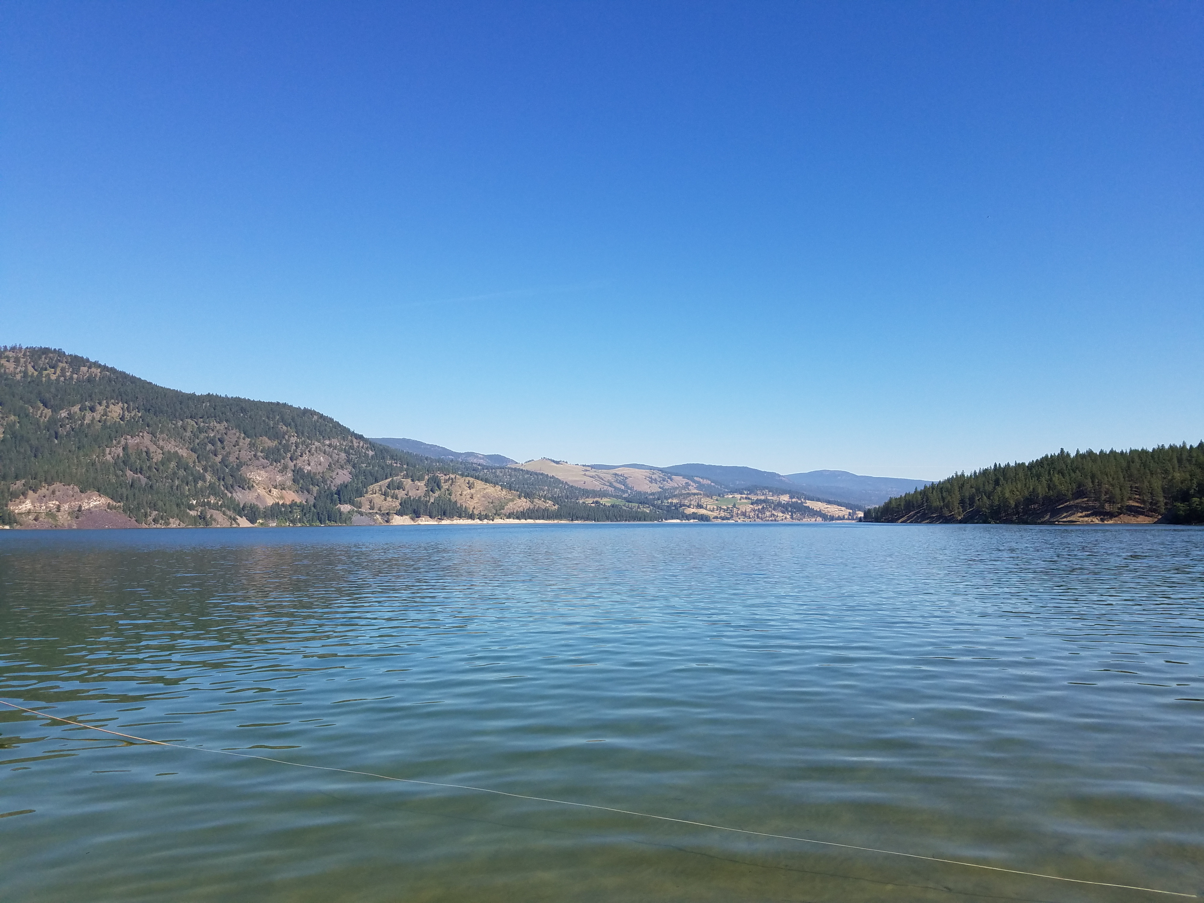
Lake Roosevelt
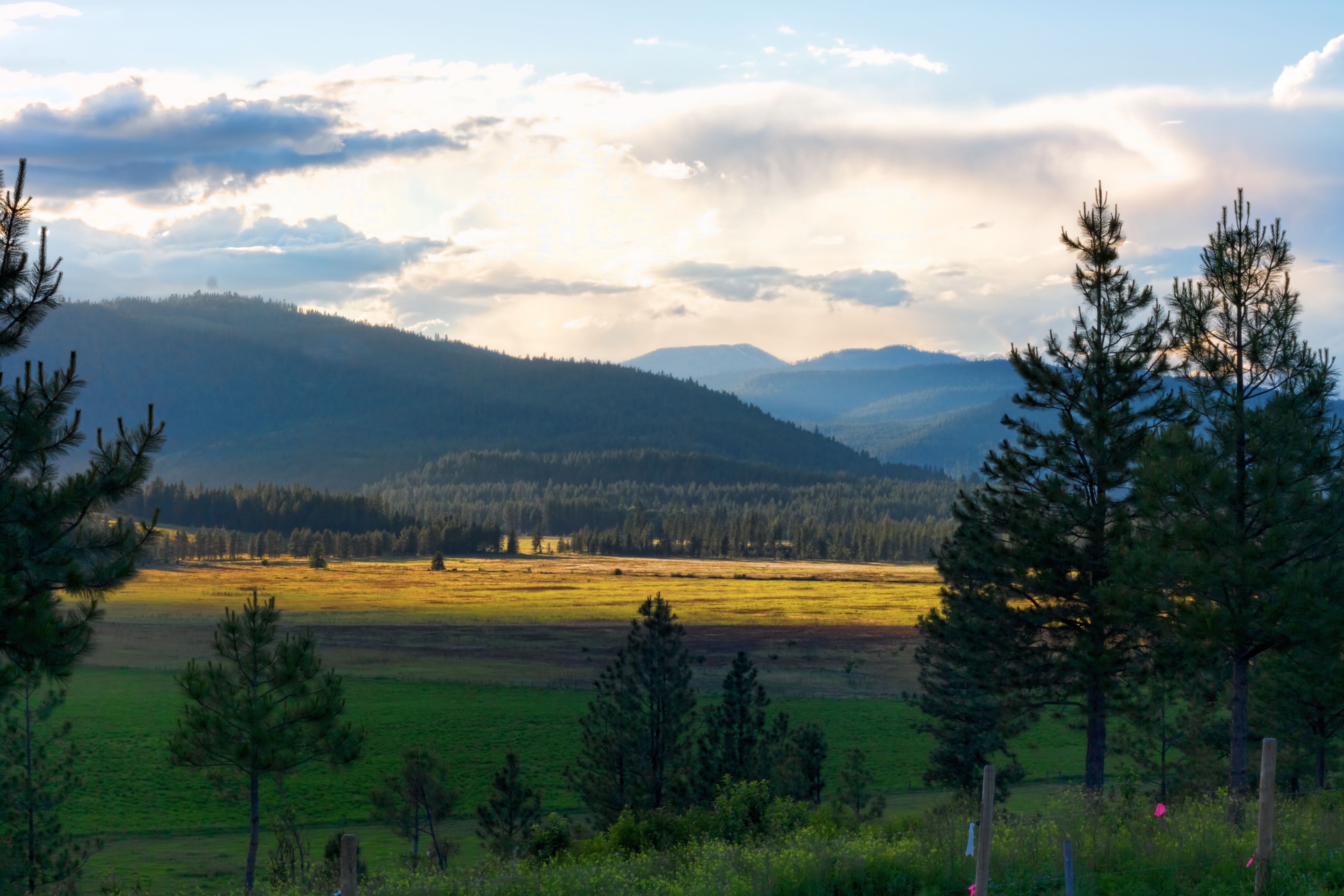
Seylor Valley
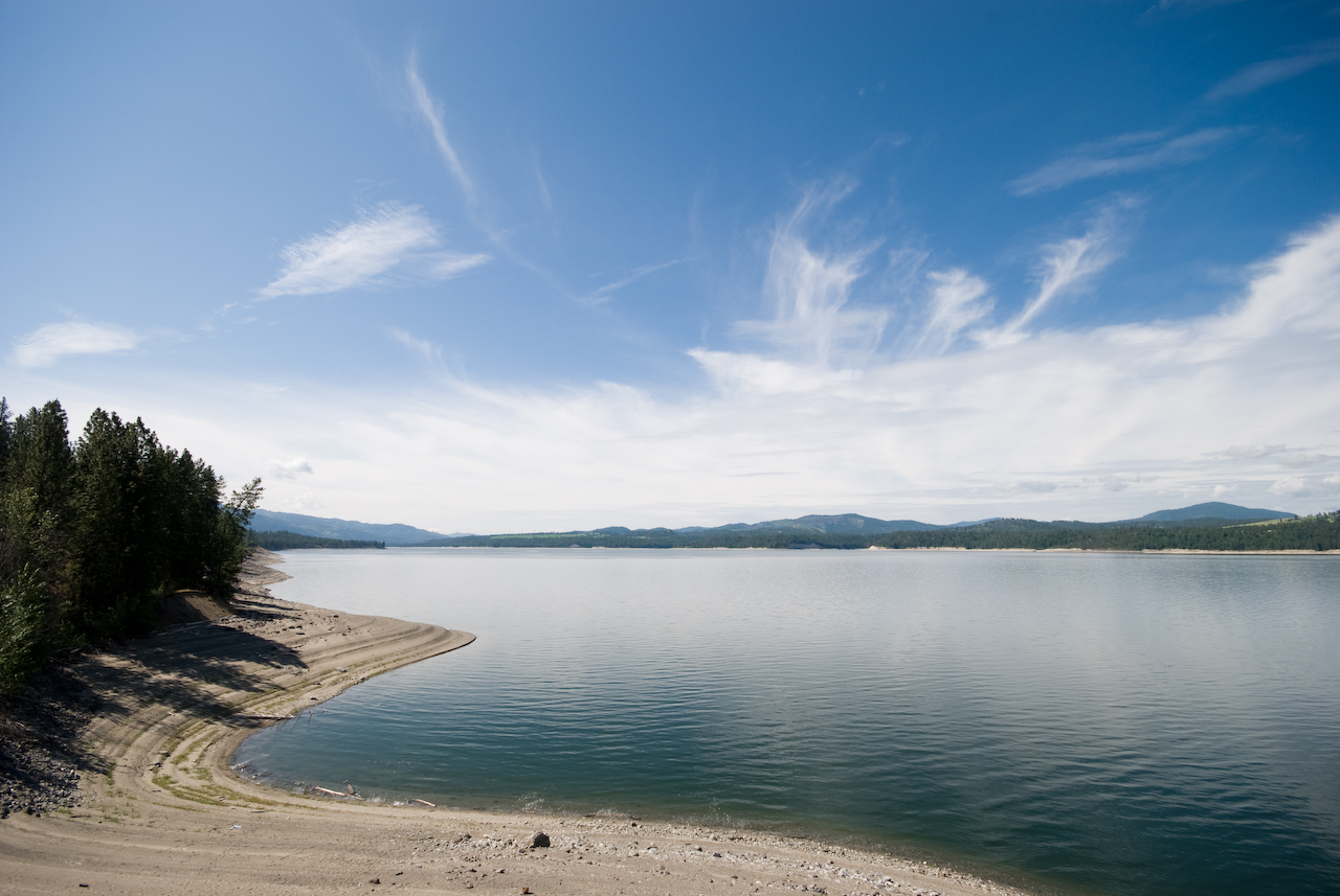
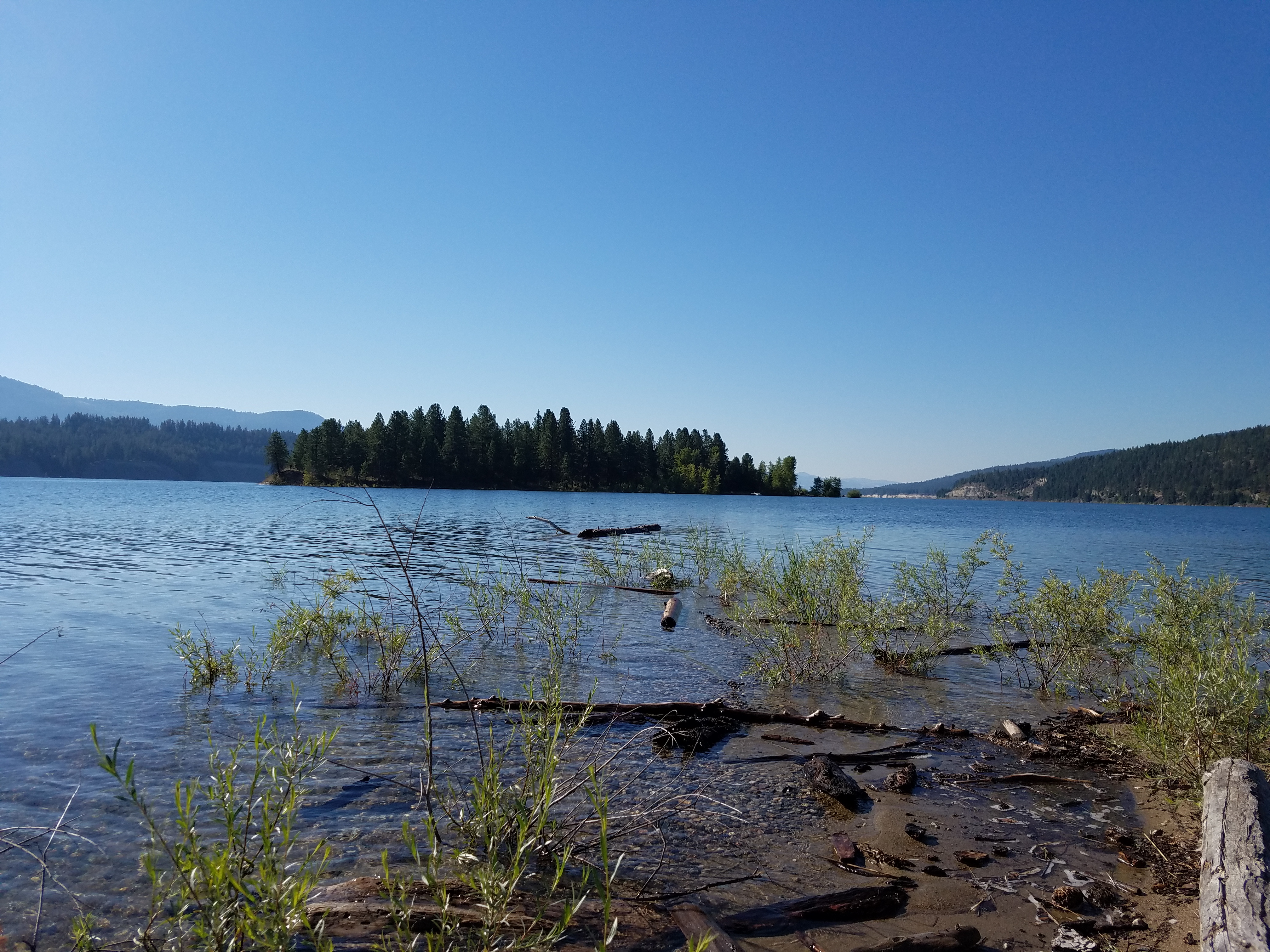
Lake Roosevelt
Paints in the Field
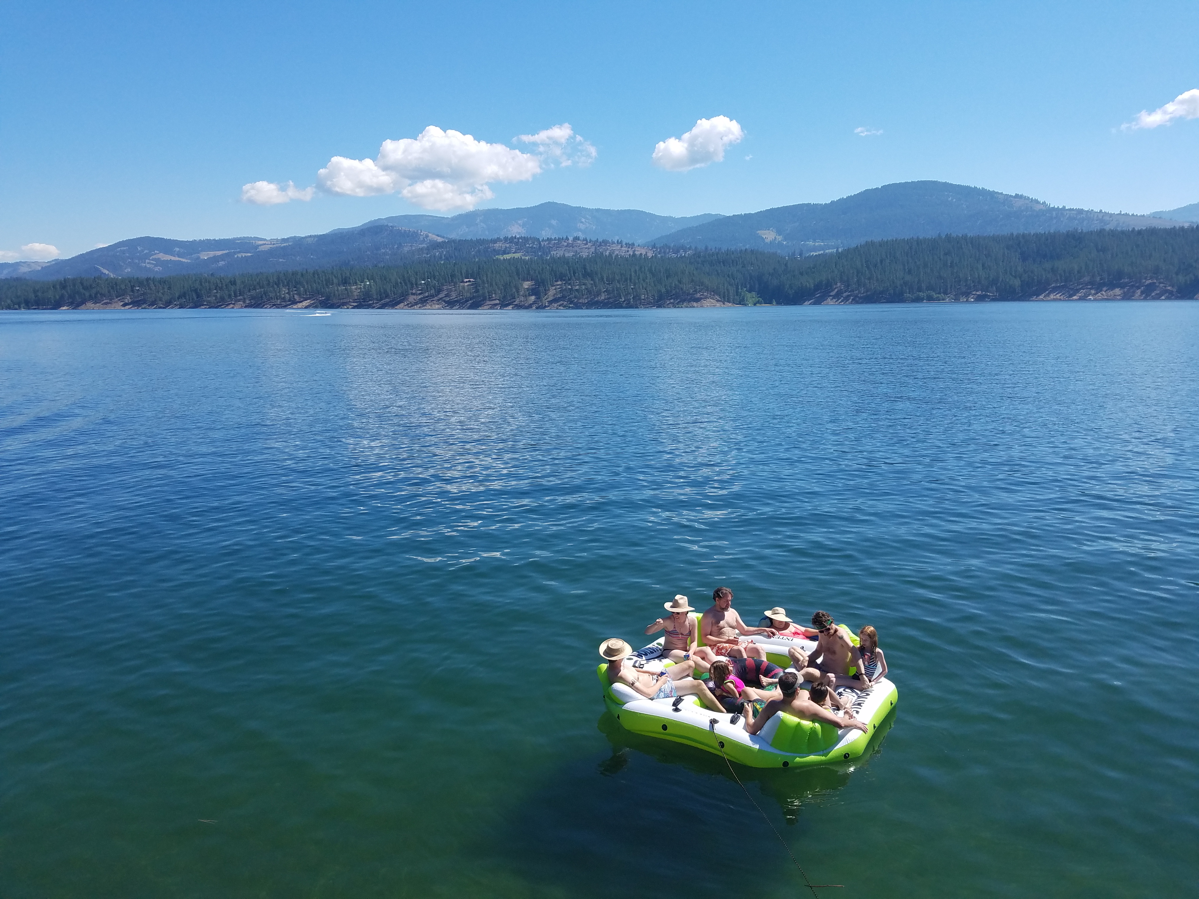
Lake Roosevelt

Small Lake

2010-08-08 15;08;55
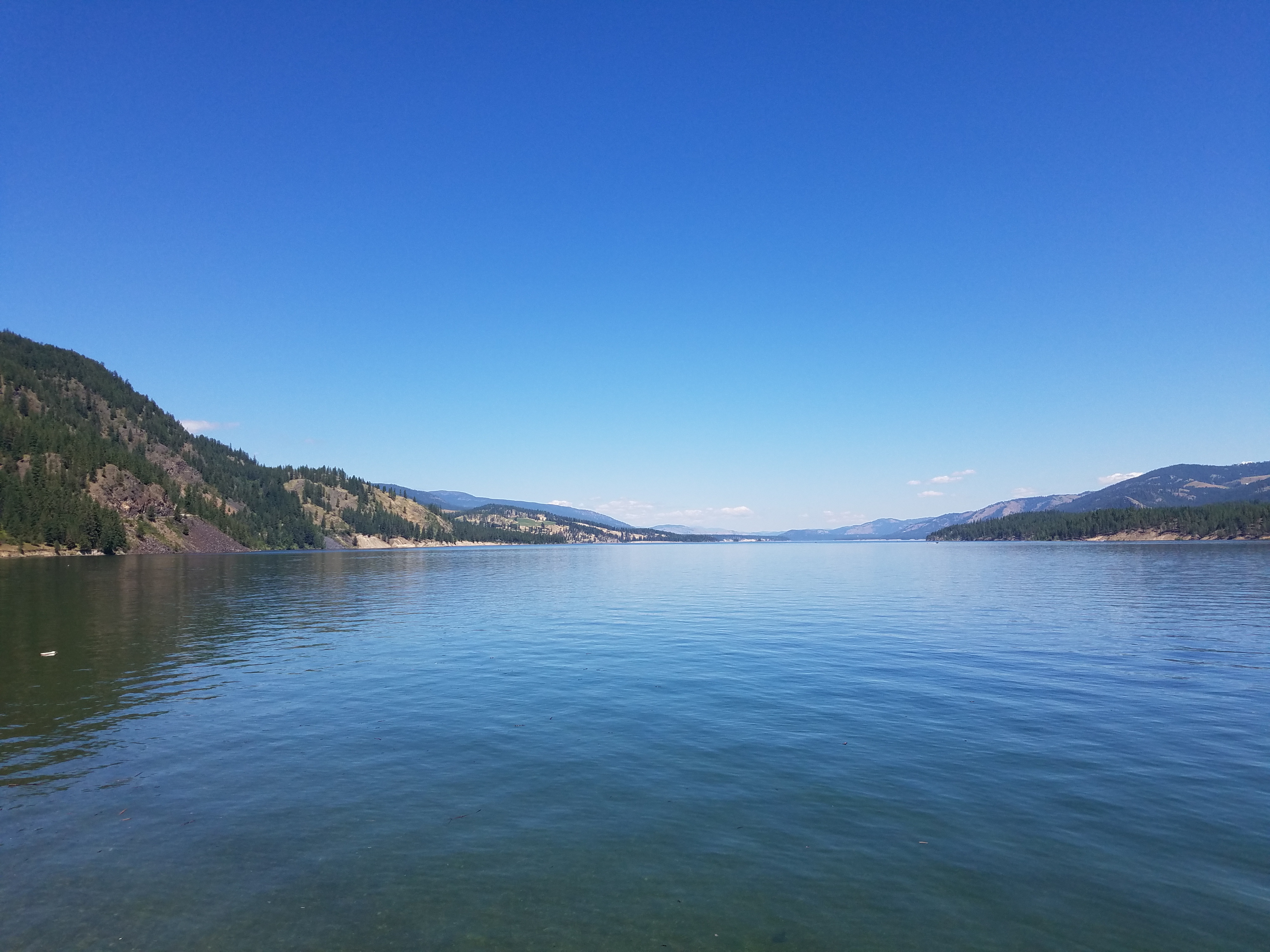
Lake Roosevelt

Home: Spring in the Yard

Beautiful scenery in the middle of nowhere
Houseboat 2016
Houseboat 2016
Houseboat 2016
Houseboat 2016
Houseboat 2016

Houseboat 2016
Topographic Map of Rice, WA, USA
Find elevation by address:

Places near Rice, WA, USA:
2007 Tate Rd
3151 Miles Rd
3304 Miles Rd
Rainy Ridge Road
Haag Cove Campground
Inchelium
Round Lake
15 Stray Dog Canyon Rd
Jacknife Cutoff Road
Graves Mountain
47 Merritt Ln
Hunters
Ferry County
Sherman Pass
Fruitland
Copper Butte
6119 Enterprise Rd
3086 Hungry Hill Rd
6271 Miller Mountain Rd
Pierre Lake Campground
Recent Searches:
- Elevation of Corso Fratelli Cairoli, 35, Macerata MC, Italy
- Elevation of Tallevast Rd, Sarasota, FL, USA
- Elevation of 4th St E, Sonoma, CA, USA
- Elevation of Black Hollow Rd, Pennsdale, PA, USA
- Elevation of Oakland Ave, Williamsport, PA, USA
- Elevation of Pedrógão Grande, Portugal
- Elevation of Klee Dr, Martinsburg, WV, USA
- Elevation of Via Roma, Pieranica CR, Italy
- Elevation of Tavkvetili Mountain, Georgia
- Elevation of Hartfords Bluff Cir, Mt Pleasant, SC, USA