Elevation of Sherman Pass, Washington, USA
Location: United States > Washington > Republic >
Longitude: -118.47945
Latitude: 48.6073923
Elevation: 1694m / 5558feet
Barometric Pressure: 83KPa
Elevation Map:
Satellite Map:
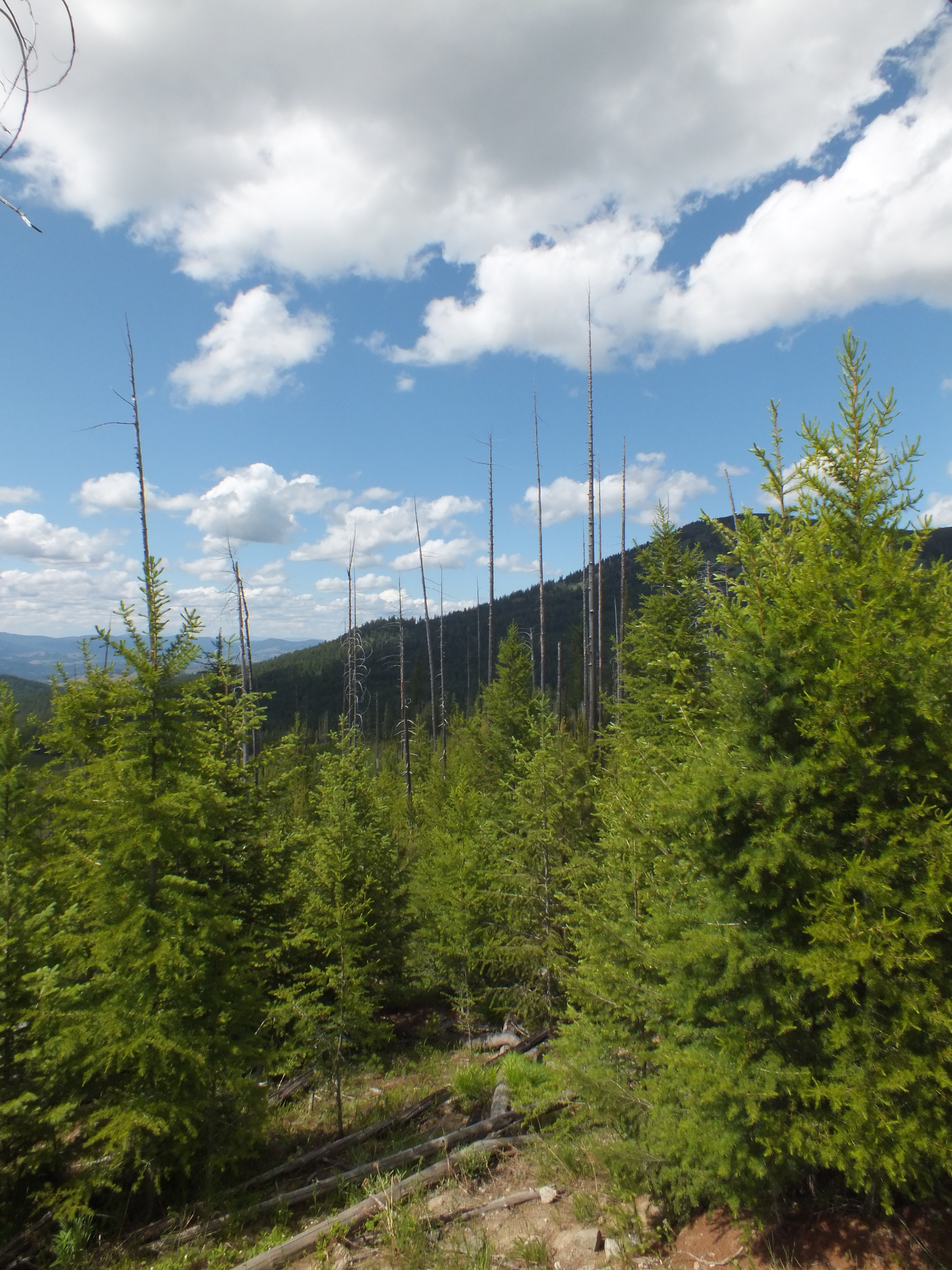
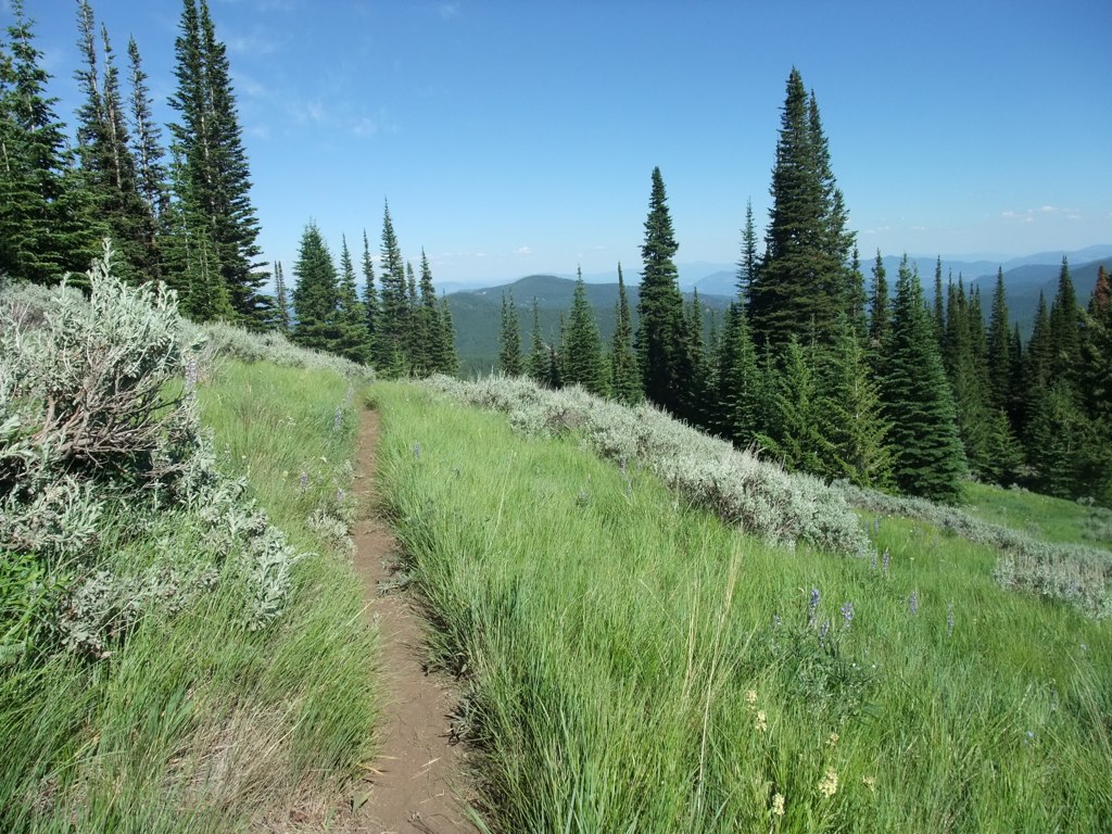
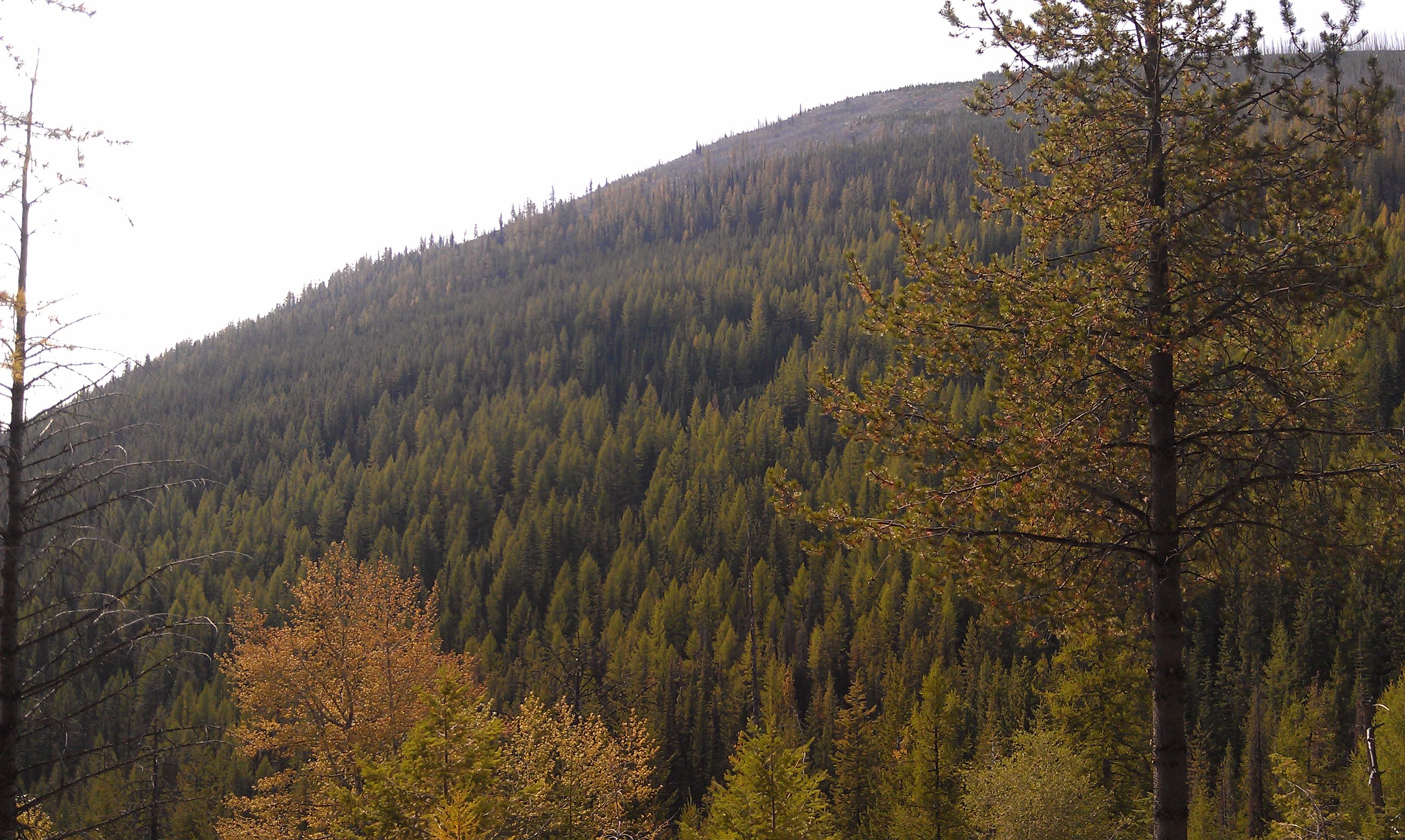
Related Photos:
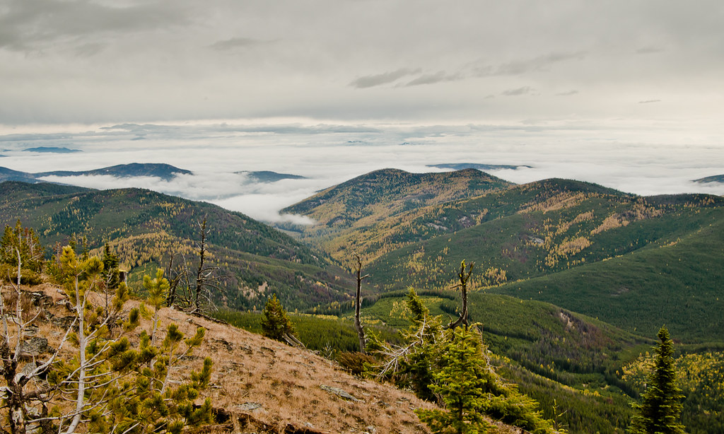
Copper Butte View
Rock View
WA_0467_White Mtn Fire
WA_0472_White Mtn Fire
View from the Lookout
Sherman Creek Pass- Ferry County WA (3)

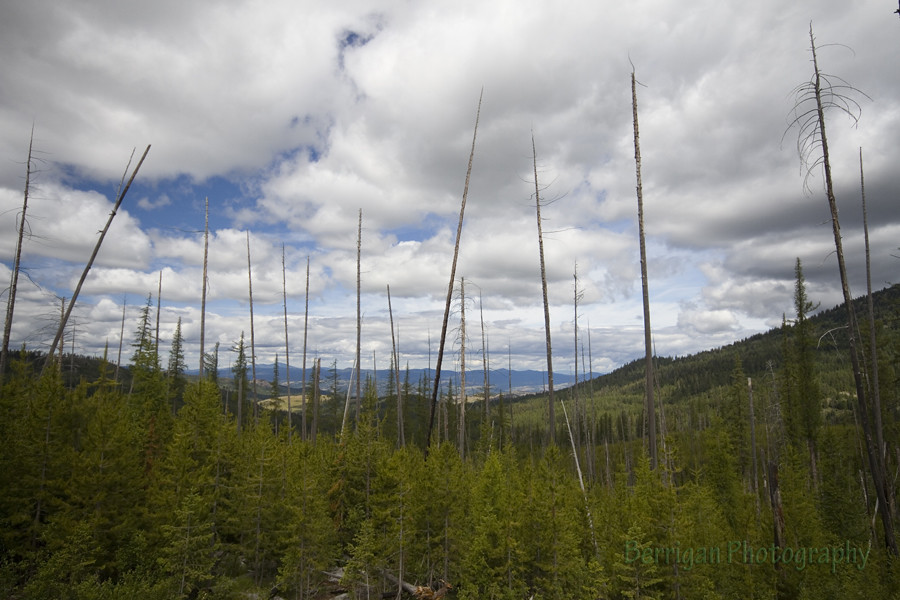
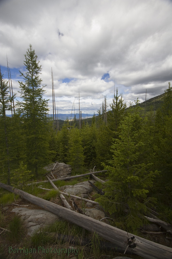
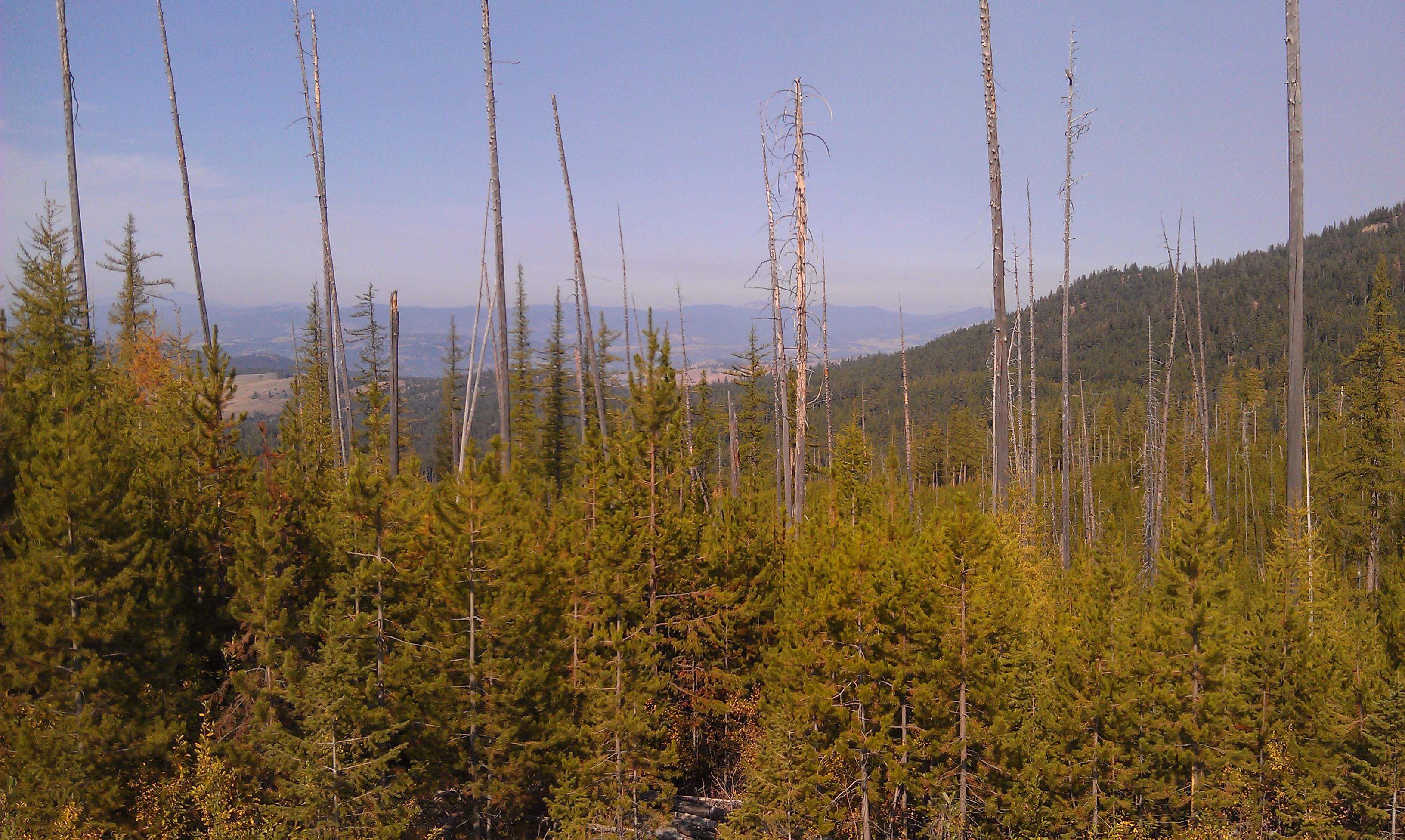
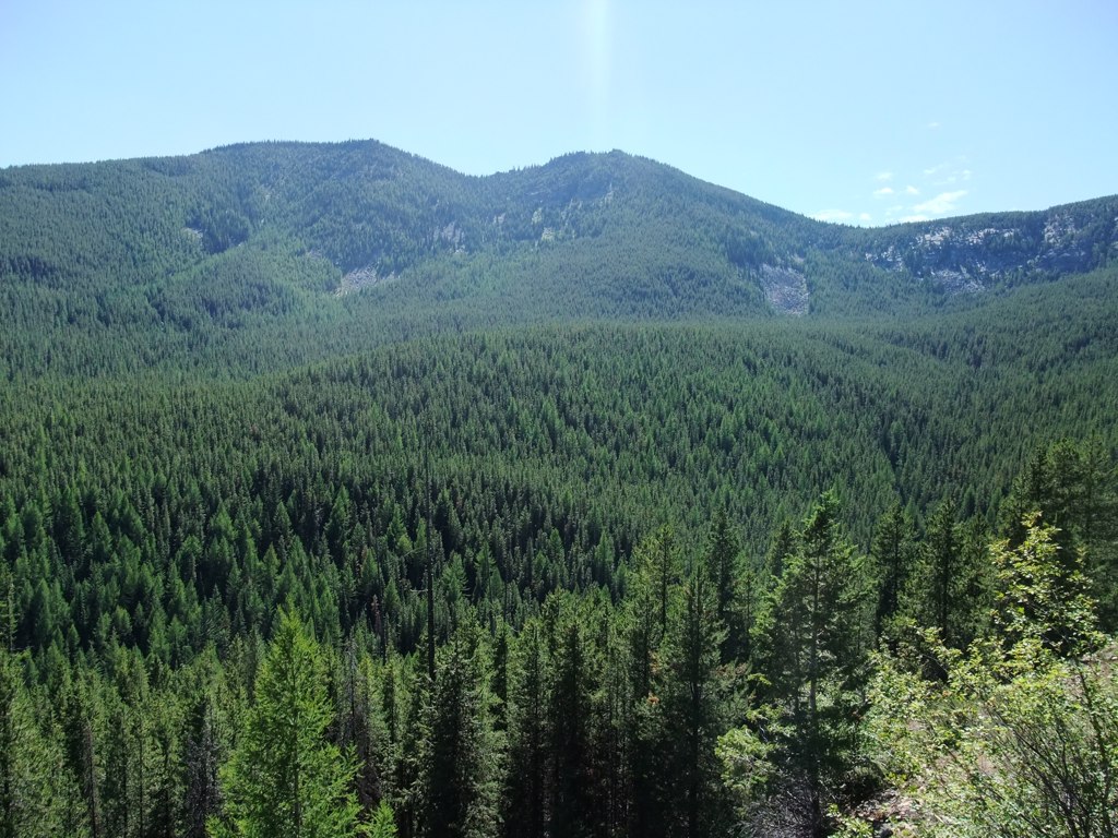
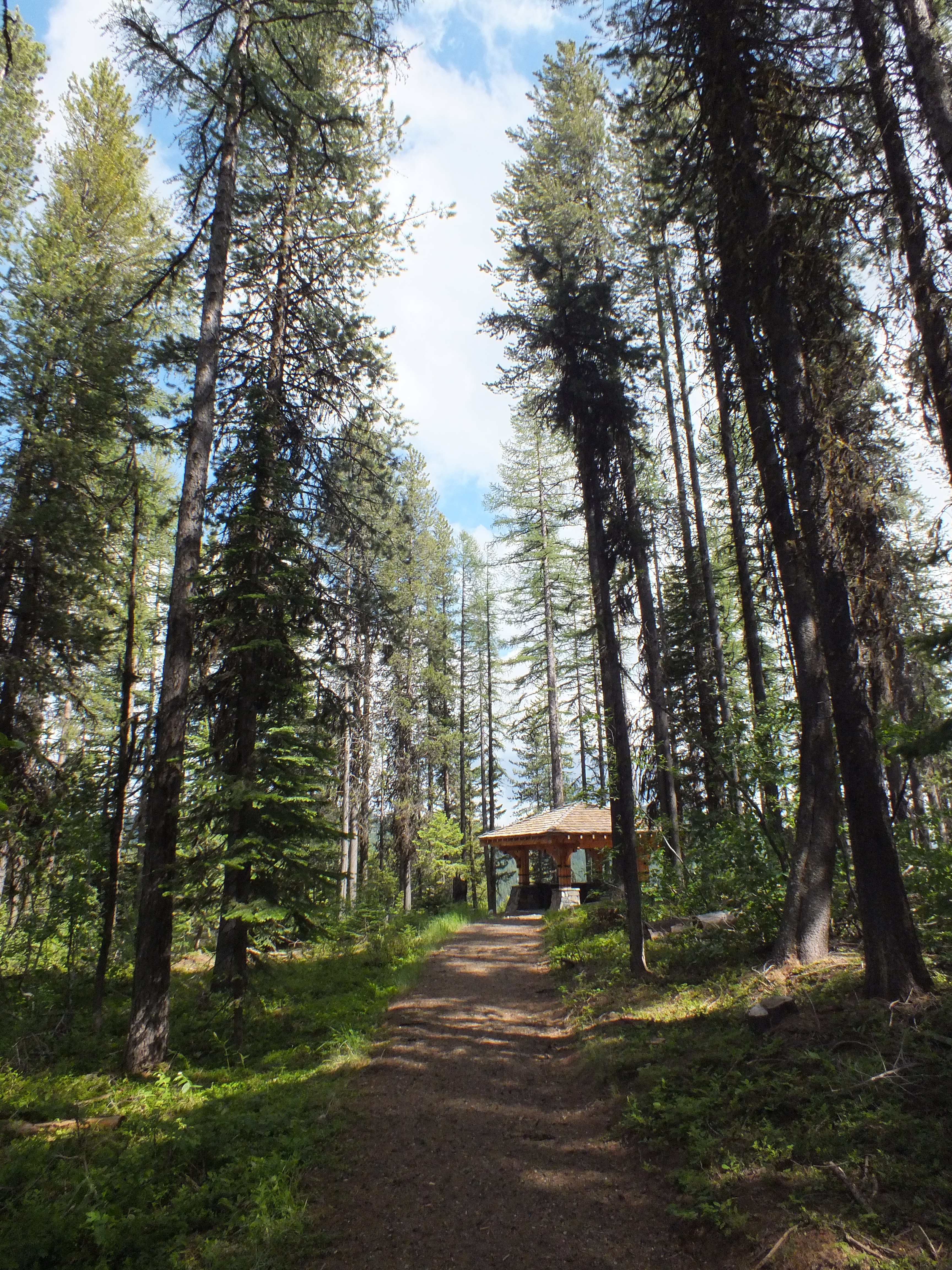
Forest near Sherman Pass Washington

Forest near Sherman Pass Washington

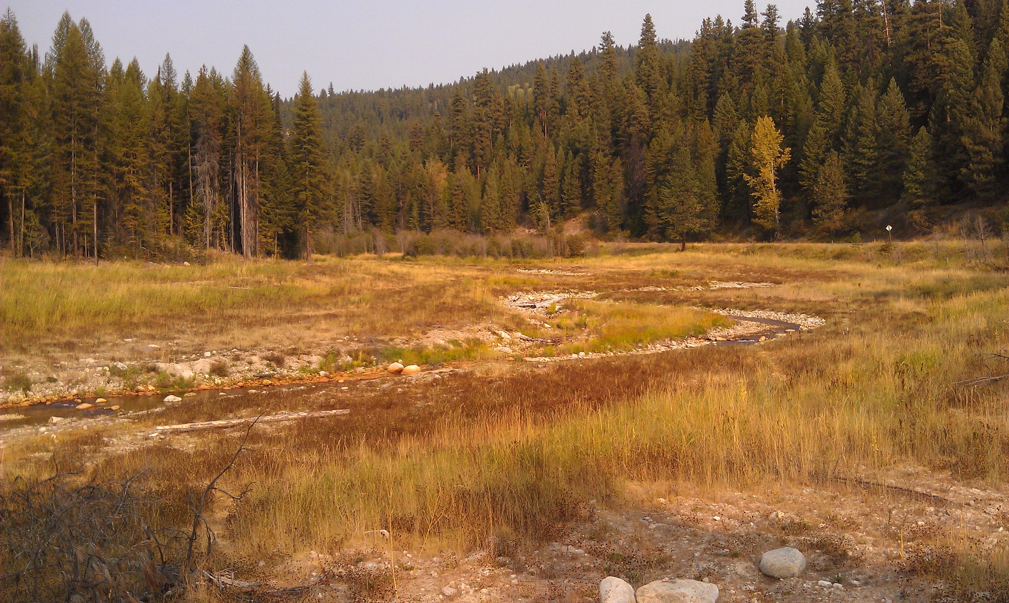
Bridge over Sherman Creek
Growden Heritage Site- Ferry County WA (6)
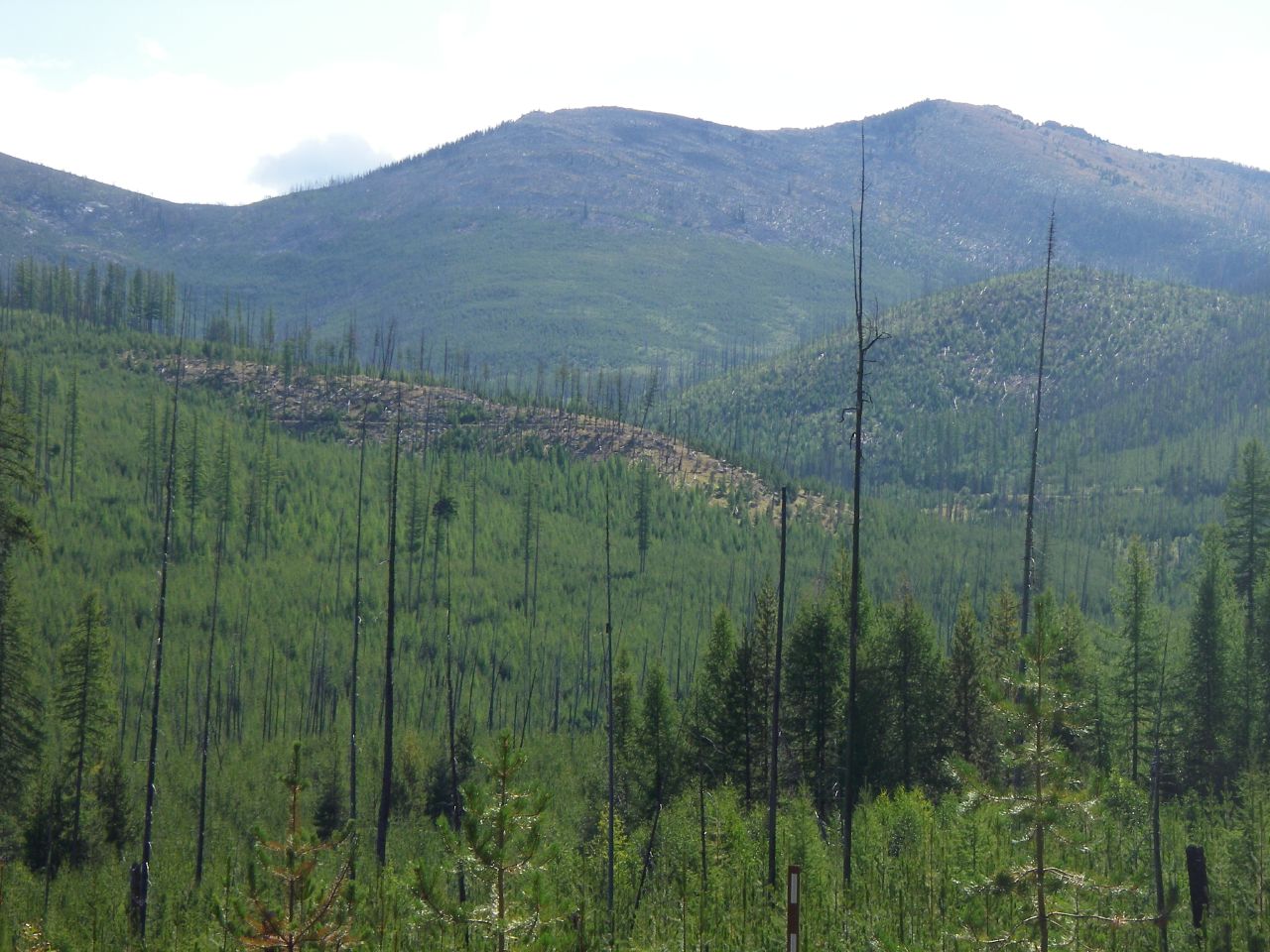
1988 21,000 Acre White Mountain Fire near Sherman Pass
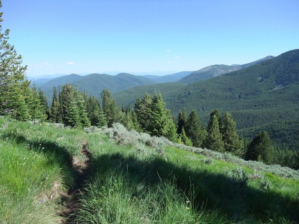
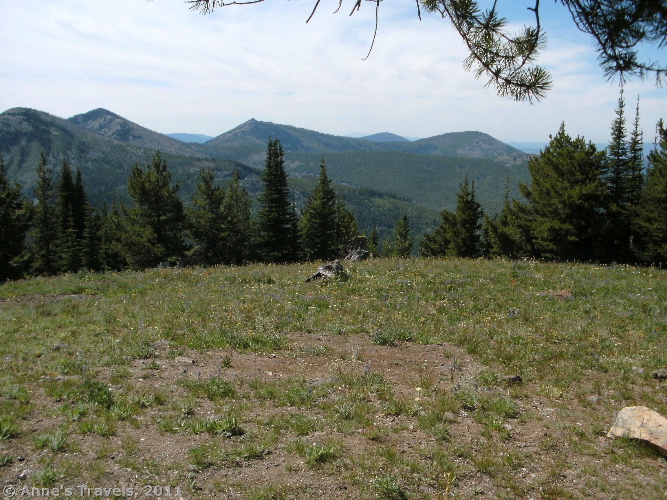
Jungle Hill Trail - 15
Sherman Pass
Jungle Hill Trail - 16

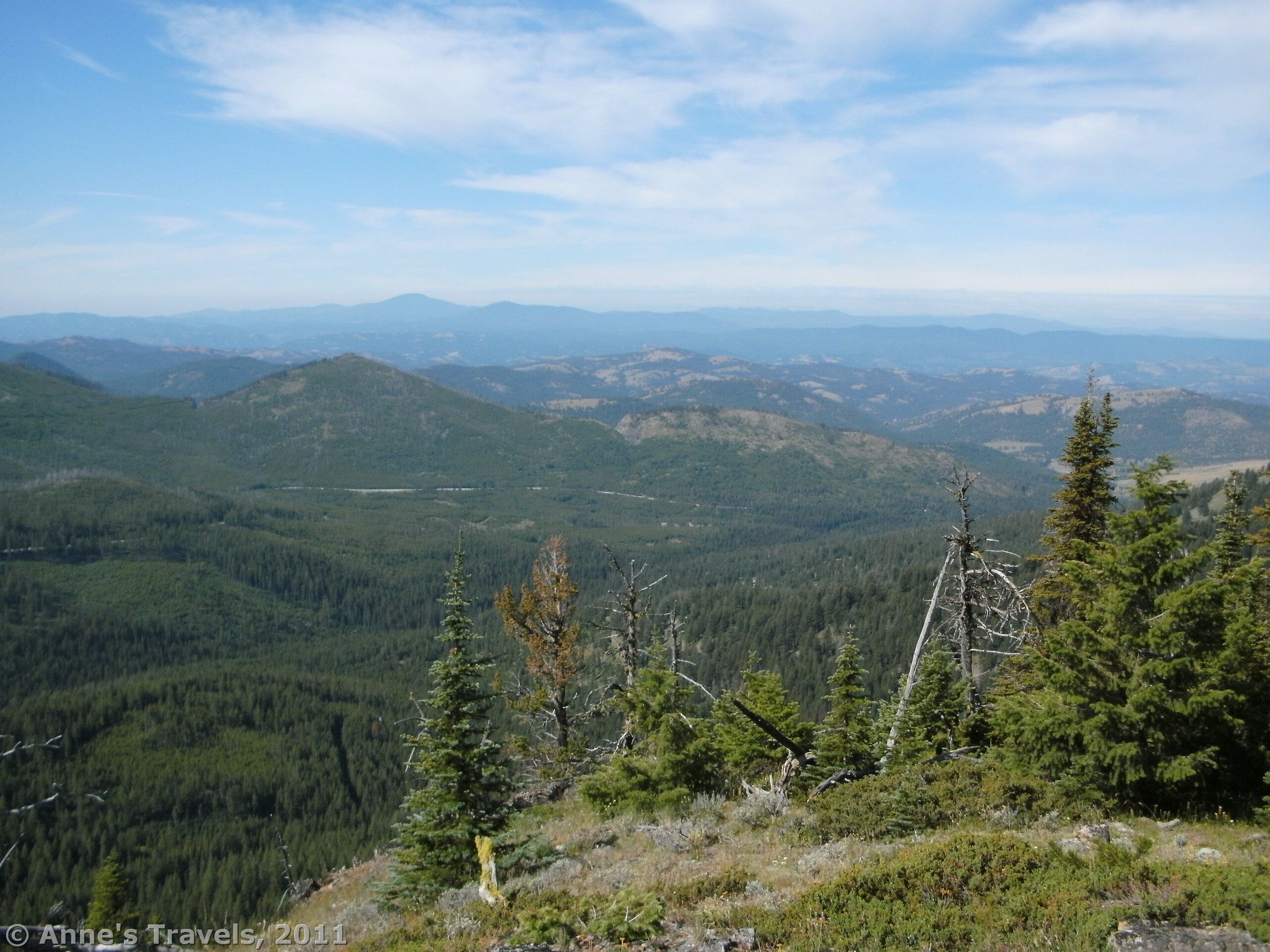
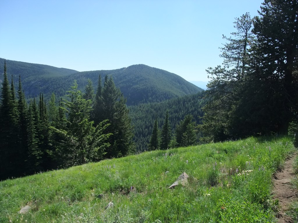
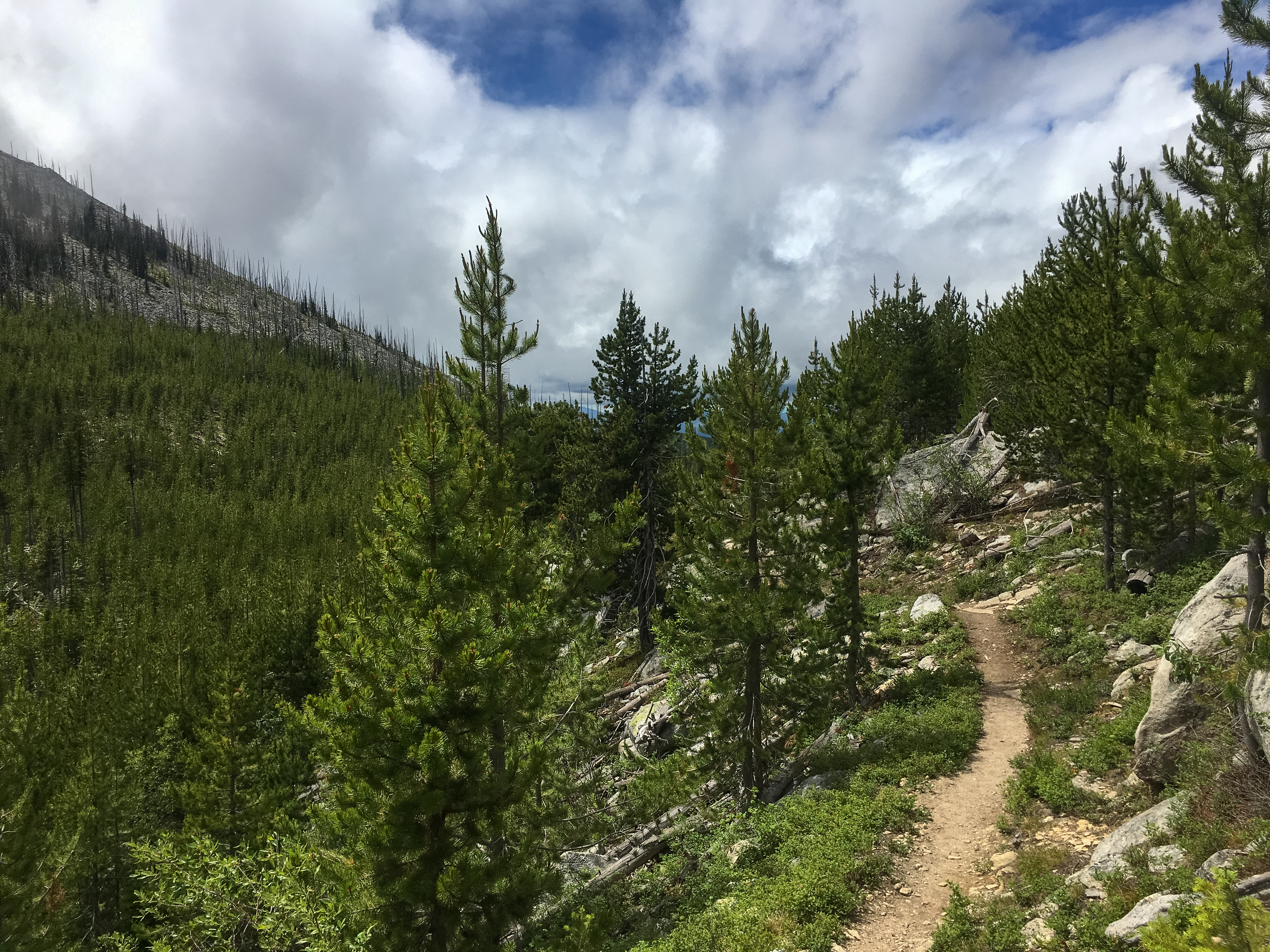
Mountains near Sherman Pass Washington
Sherman Creek Pass- Ferry County WA (1)
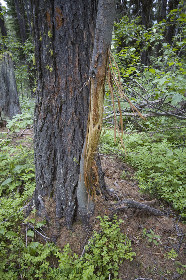
WA_0482_cat scratch
Lookout over Pass Creek
Jungle Hill Trail - 11
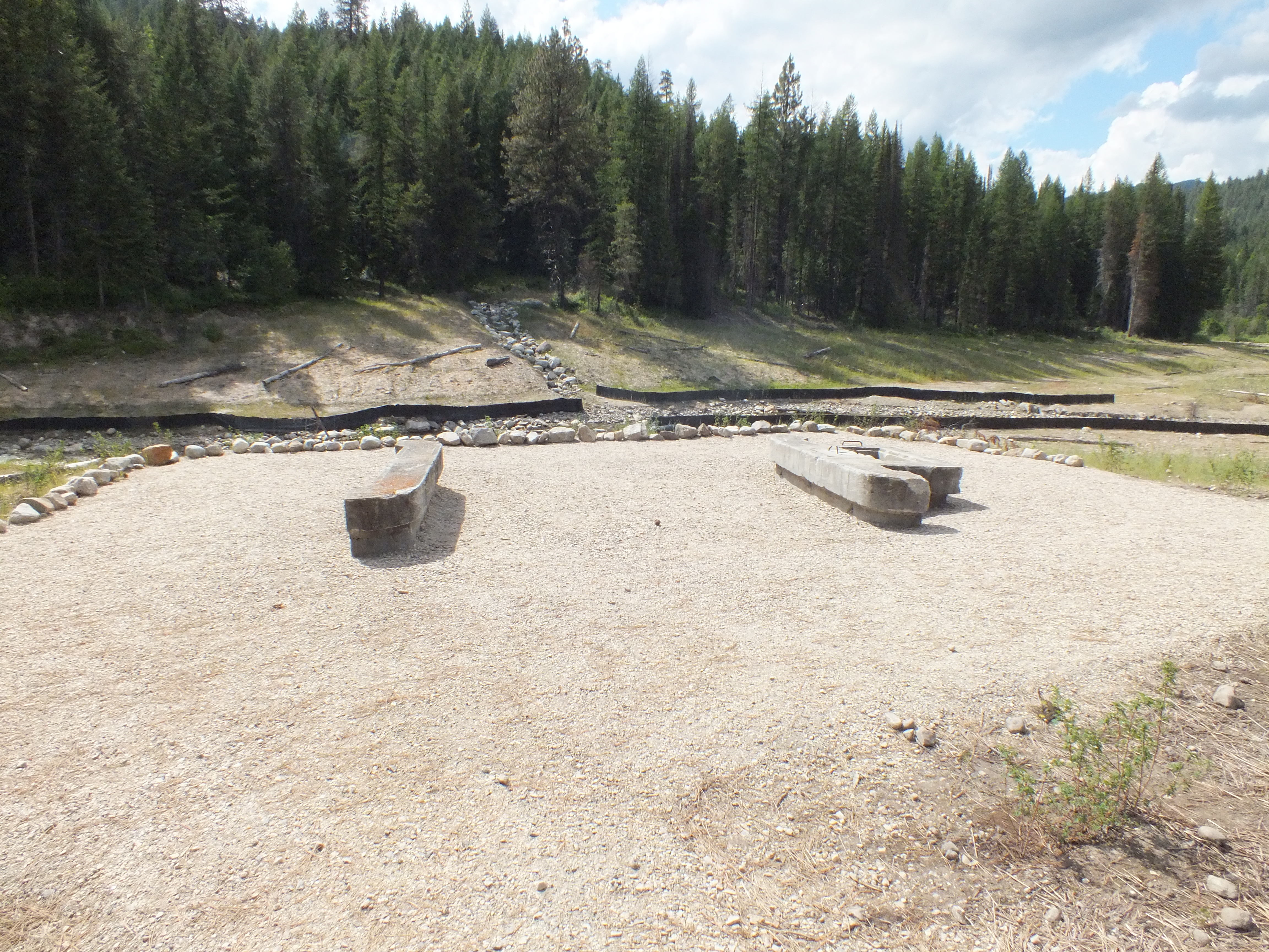
Camp Growden CCC Heritage Site

Jungle Hill Trail - 21
Sherman Pass
Sherman Peak loop, Colville National Forest
Topographic Map of Sherman Pass, Washington, USA
Find elevation by address:

Places near Sherman Pass, Washington, USA:
Copper Butte
Graves Mountain
Ferry County
Republic, WA, USA
40 Timothy Ln
40 Timothy Ln
11 Hamadryad Ln
WA-21, Republic, WA, USA
Malo
15 Tiffany Rd
31 Sourdough Flats
684 Louisiana St
55 Fletcher Rd
Rainy Ridge Road
7 Fagerlie Dr
87 Slippery Hill Ln
87 Slippery Hill Ln
Republic
East Knob Hill Road
54 Hardrock Rd
Recent Searches:
- Elevation of Côte-des-Neiges, Montreal, QC H4A 3J6, Canada
- Elevation of Bobcat Dr, Helena, MT, USA
- Elevation of Zu den Ihlowbergen, Althüttendorf, Germany
- Elevation of Badaber, Peshawar, Khyber Pakhtunkhwa, Pakistan
- Elevation of SE Heron Loop, Lincoln City, OR, USA
- Elevation of Slanický ostrov, 01 Námestovo, Slovakia
- Elevation of Spaceport America, Co Rd A, Truth or Consequences, NM, USA
- Elevation of Warwick, RI, USA
- Elevation of Fern Rd, Whitmore, CA, USA
- Elevation of 62 Abbey St, Marshfield, MA, USA