Elevation of Haag Cove Campground, Haag Rd, Kettle Falls, WA, USA
Location: United States > Washington > Ferry County >
Longitude: -118.15217
Latitude: 48.5606561
Elevation: 398m / 1306feet
Barometric Pressure: 97KPa
Elevation Map:
Satellite Map:
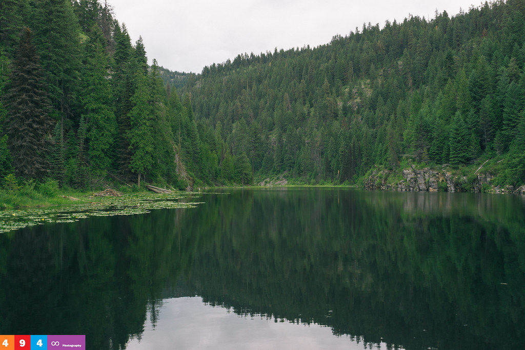
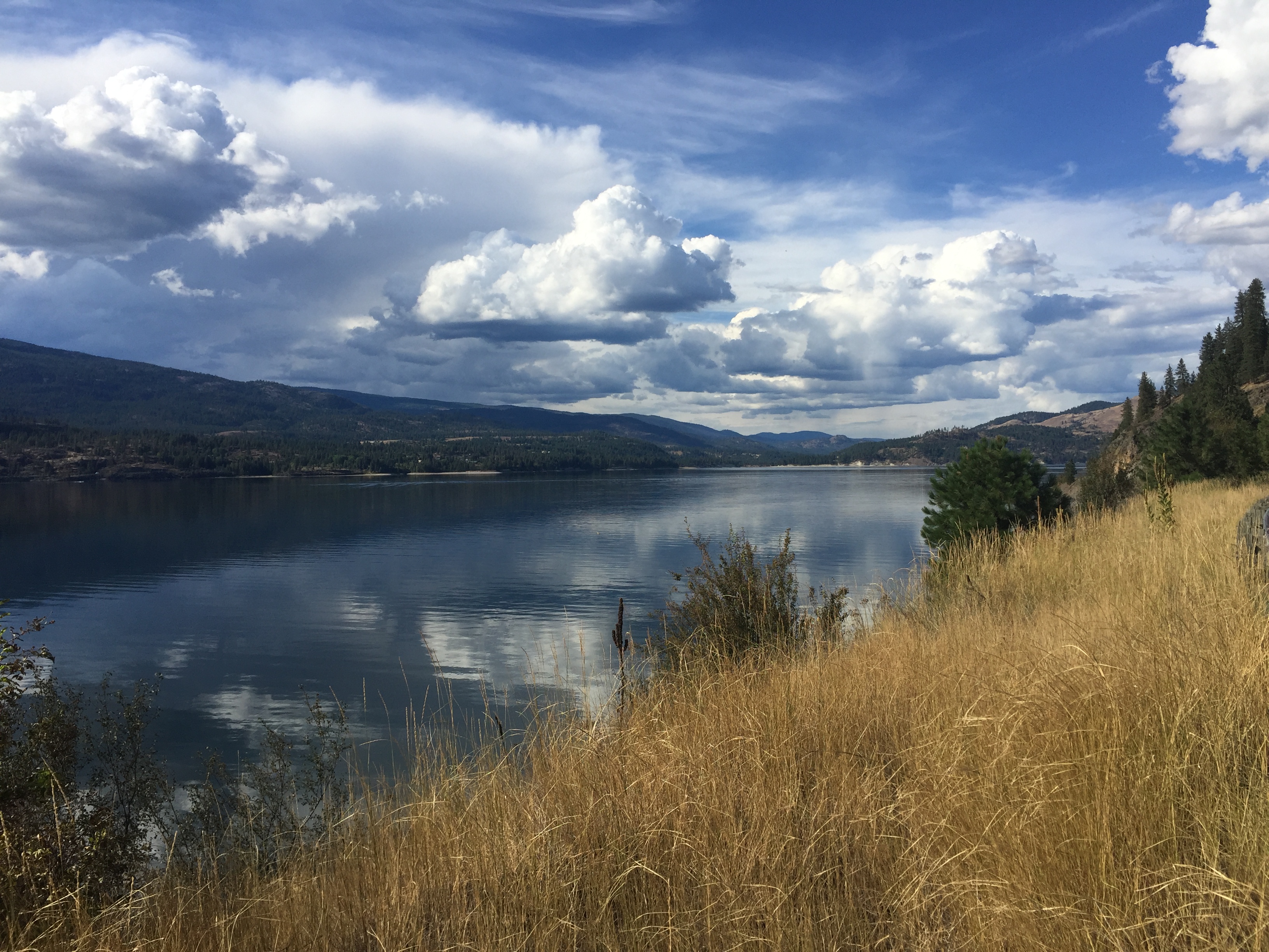
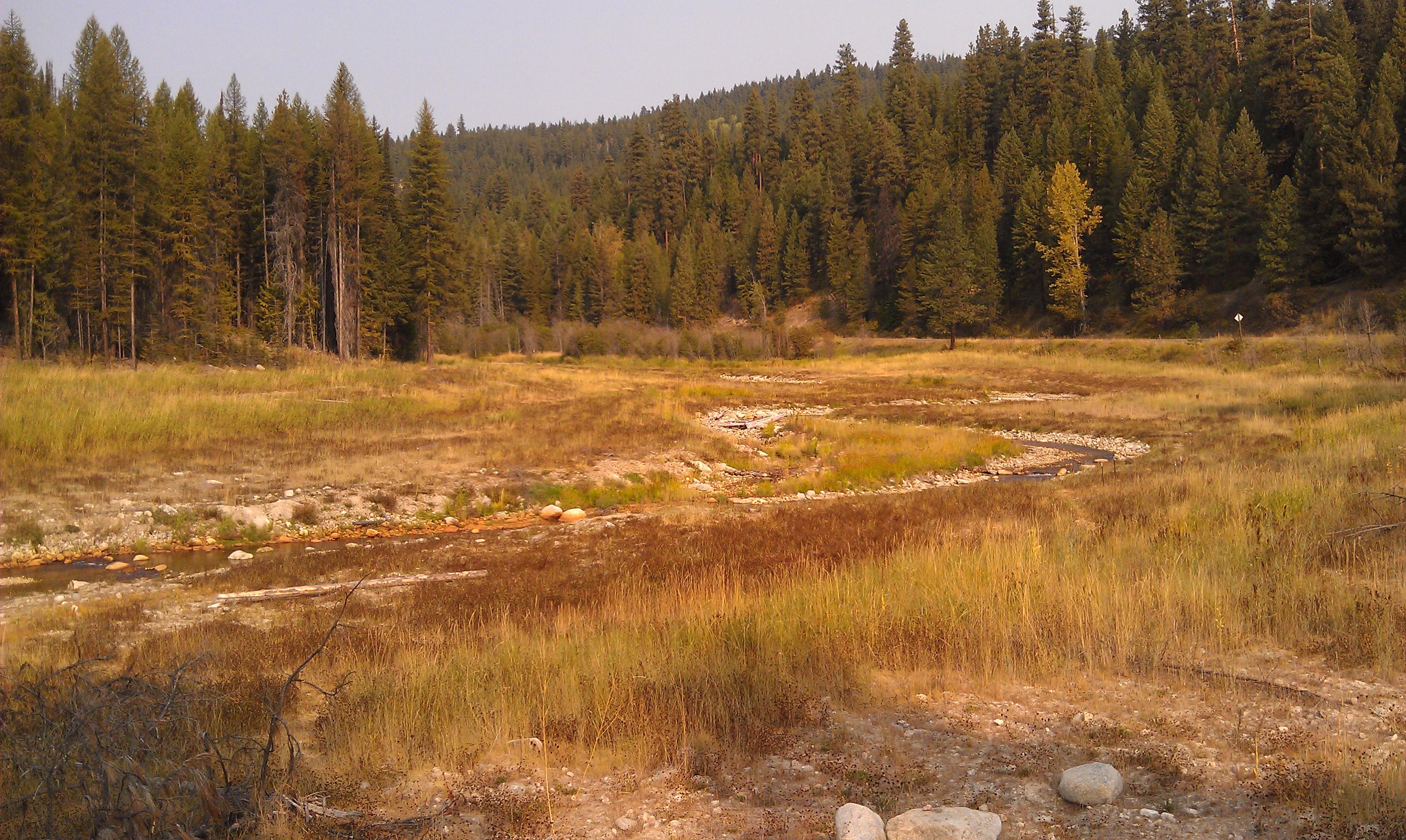
Related Photos:

Show Case

Remembering Evergreen

Tweaks Evil
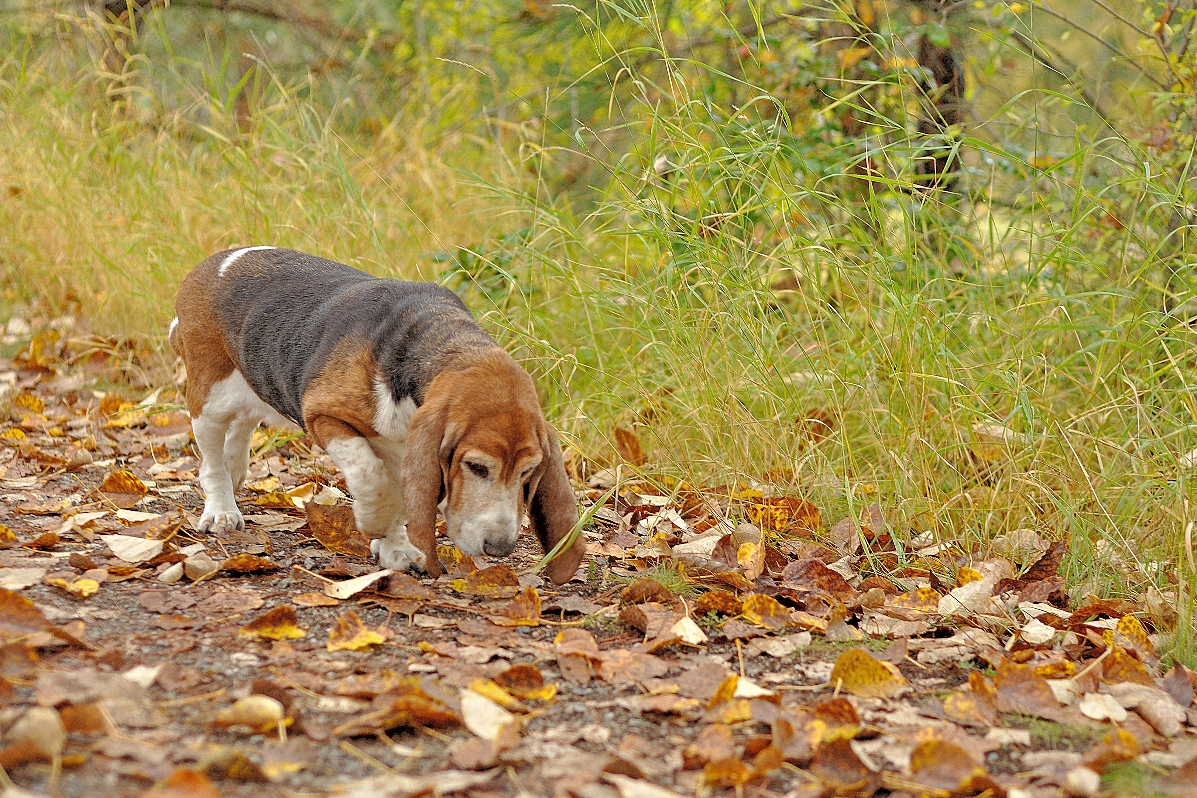
Season to Sniff
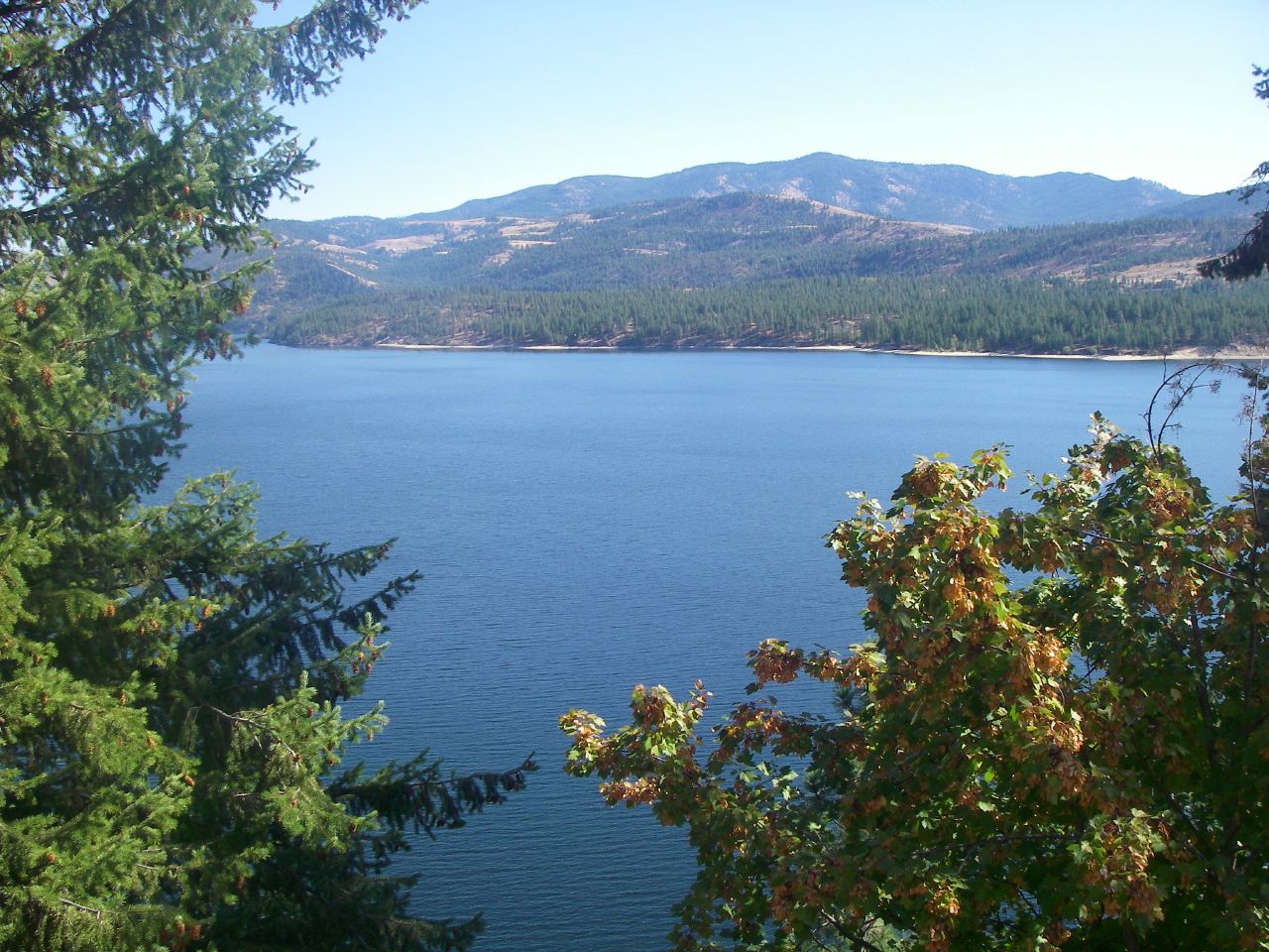
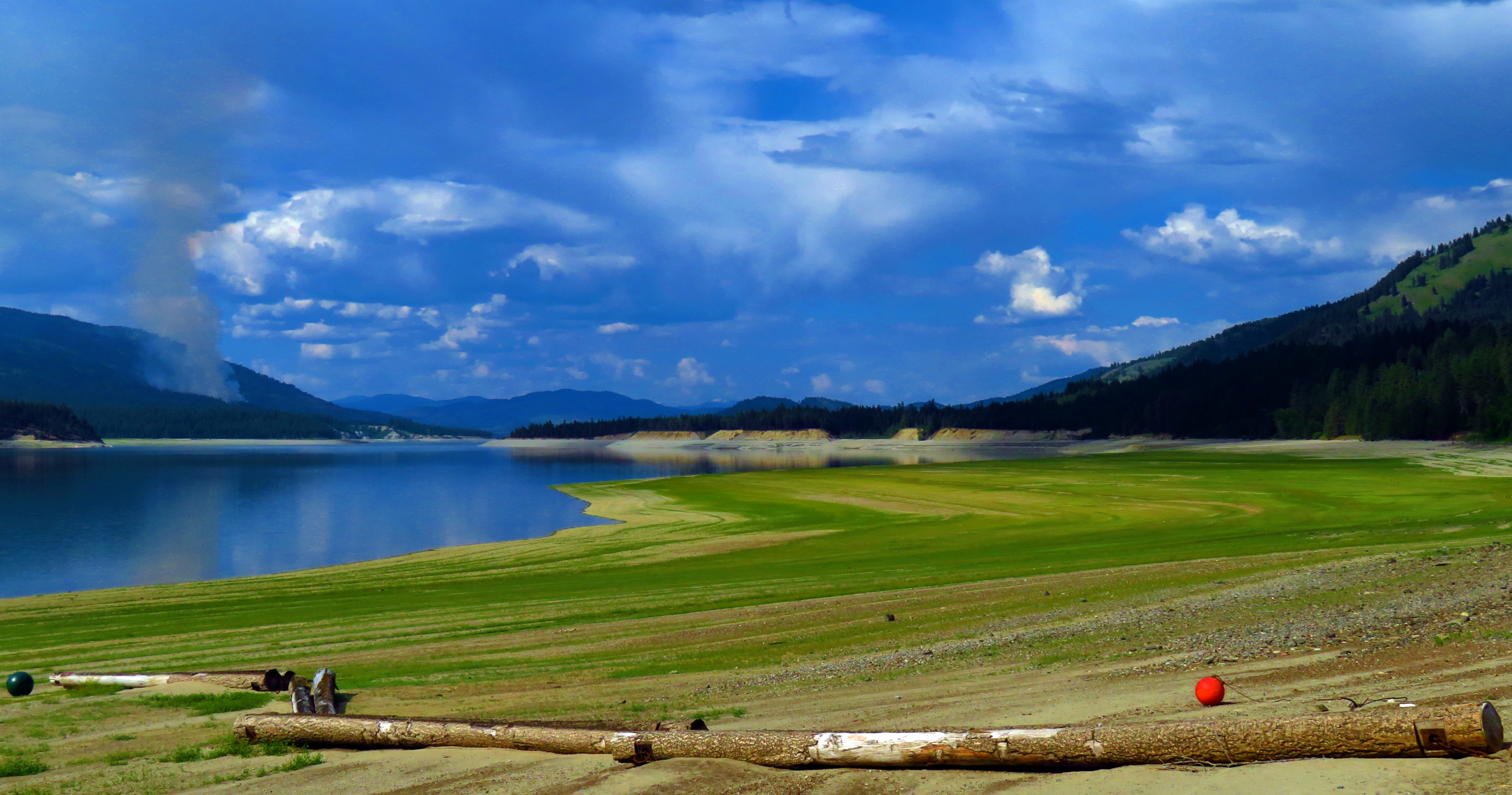
Beautiful views of Lake Roosevelt
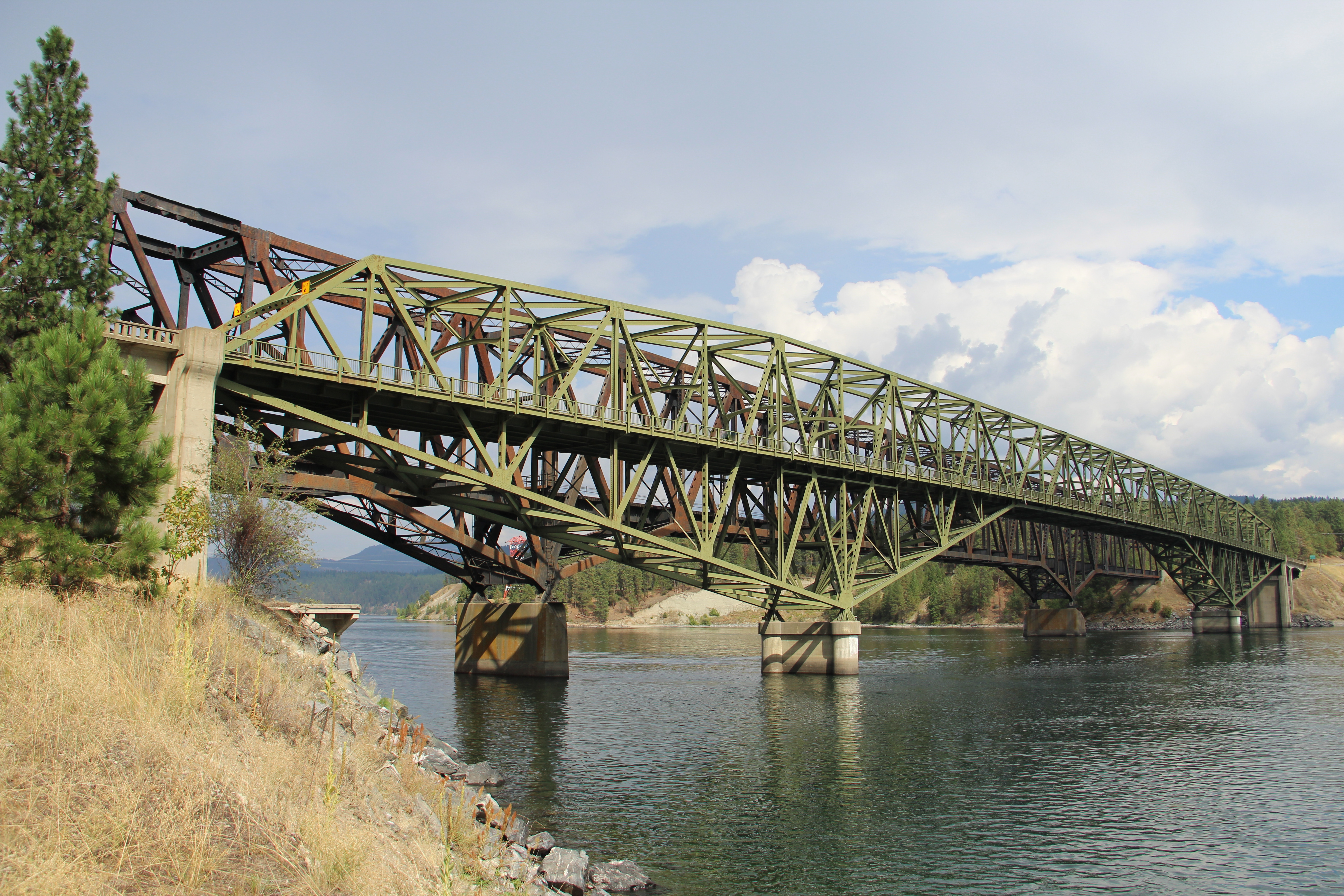
Kettle Falls Bridge (Kettle Falls, Washington)
Gentle Ripples On The Lake

on Grass

Roosevelt Morn

My Home

Lakeside Calmness
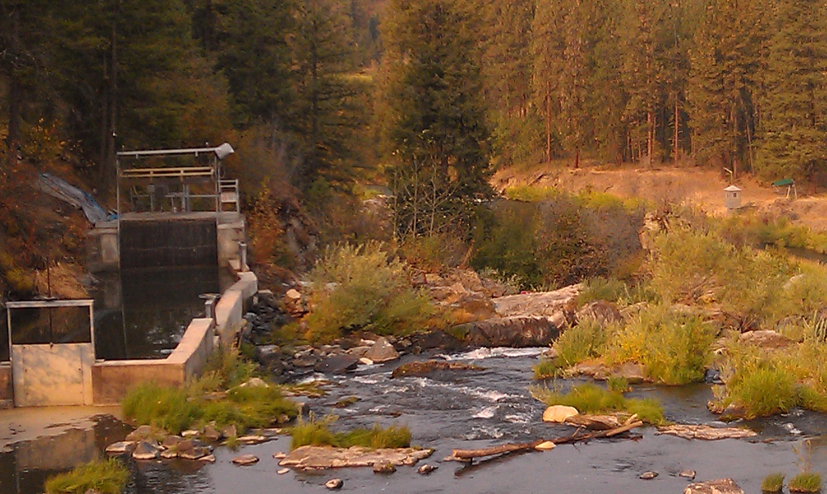
Meyers Falls Hydroelectric Development- Stevens County WA (6)

Afternoon Delight On A Lakeside T.I.P.

Serenity Is Only A Few [More] Steps Away
Historically Low Water Levels for the Columbia River 1
Meyers Falls Hydroelectric Development- Stevens County WA (4)
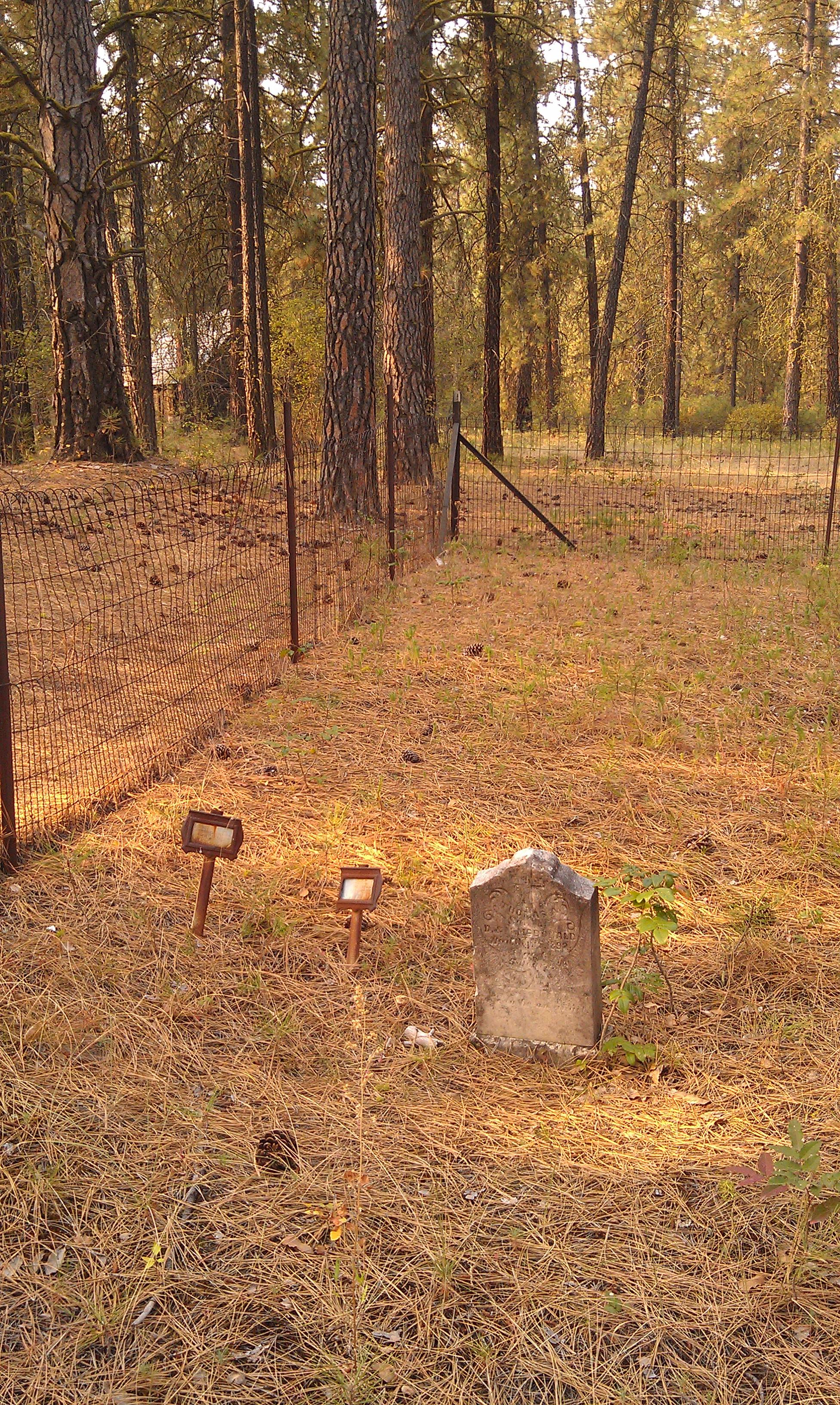
Saint Pauls Mission- Stevens County WA (10)

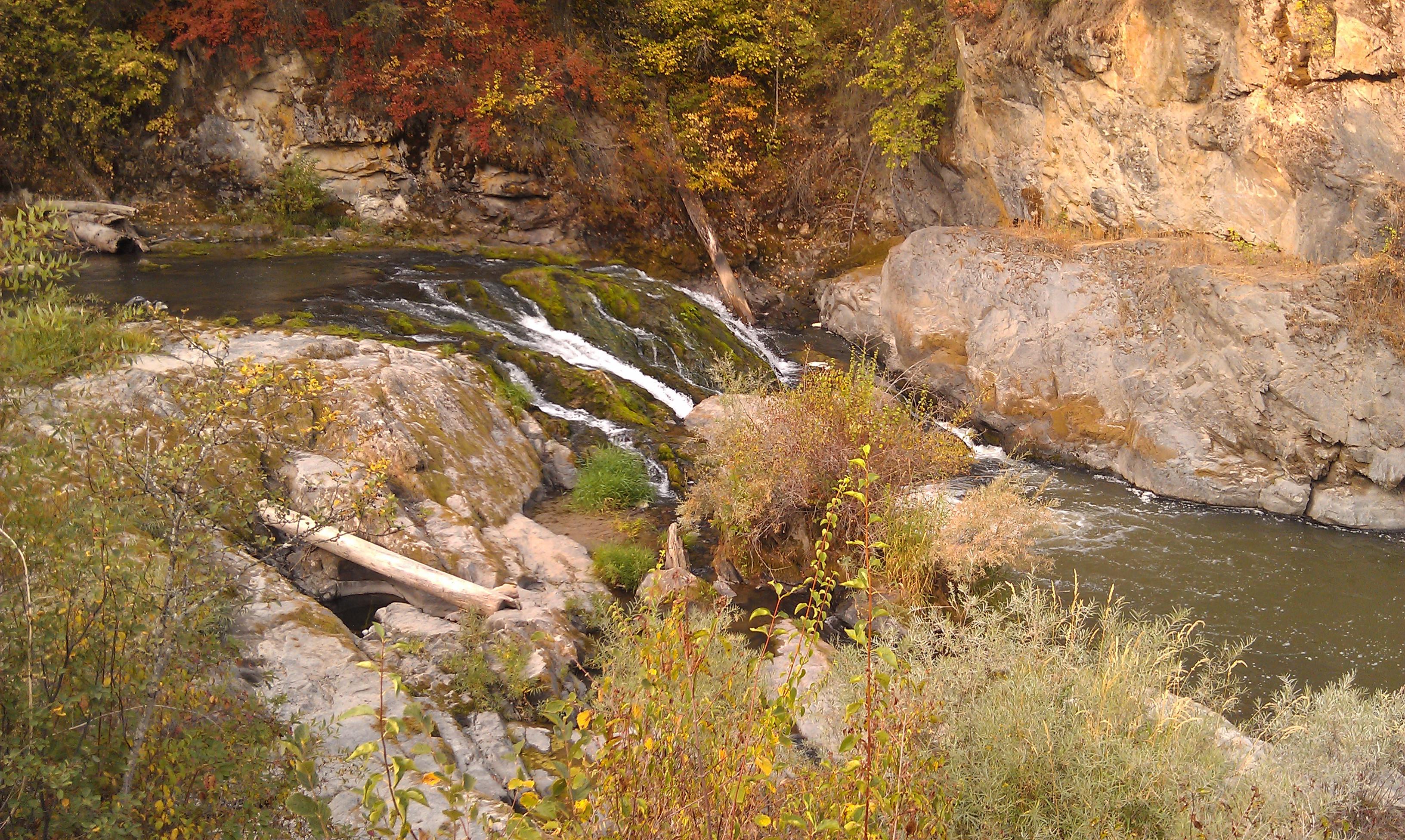
Bridge over Sherman Creek
Well Pleasing To The Eye, Mind, Body & Soul

The Sun Sets on the Columbia
Kettle Falls, WA facing north up the Columbia River.
Growden Heritage Site- Ferry County WA (6)
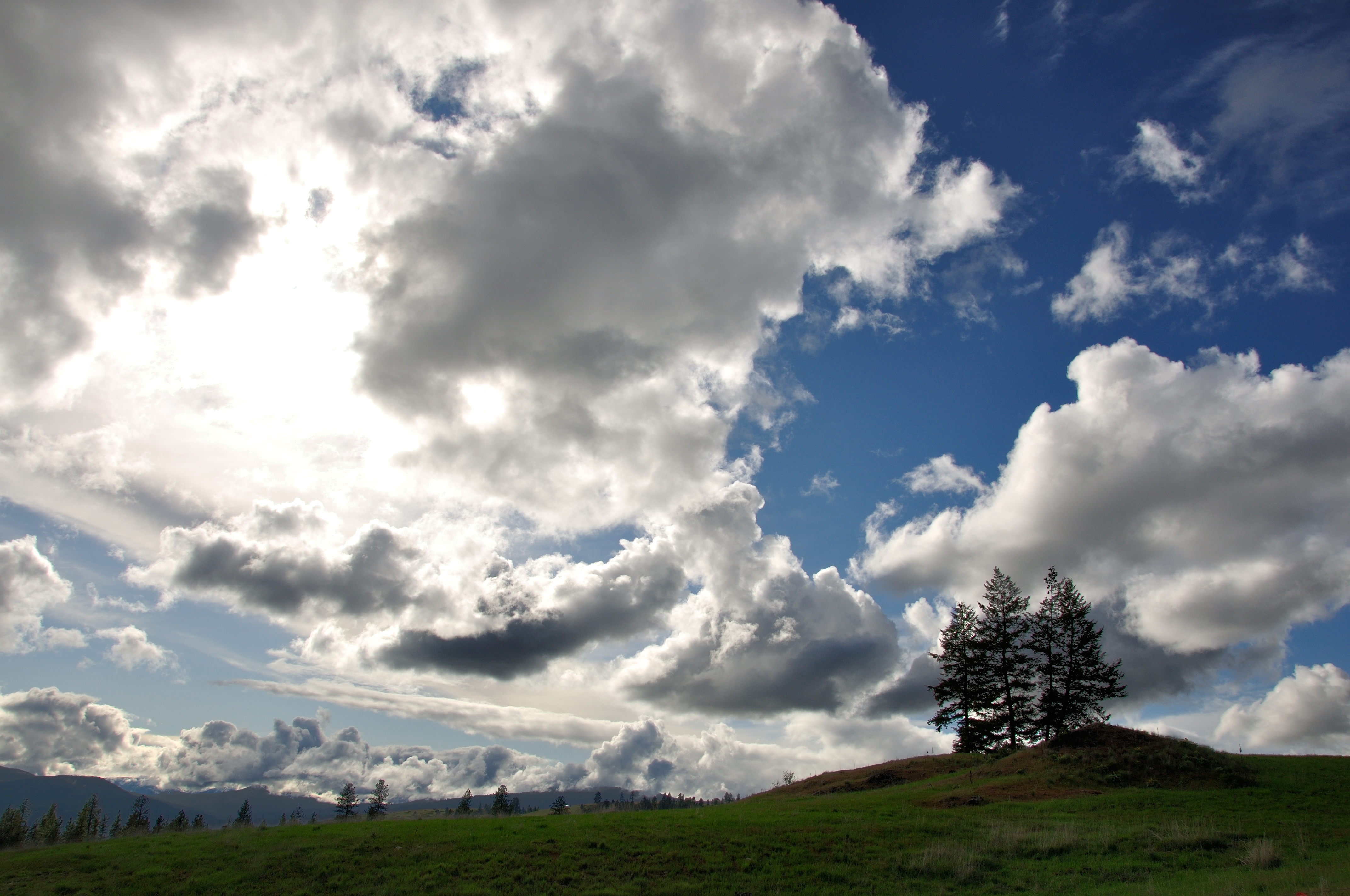
Highland Knoll

Columbia River- Lake Roosevelt- Stevens County WA (3)
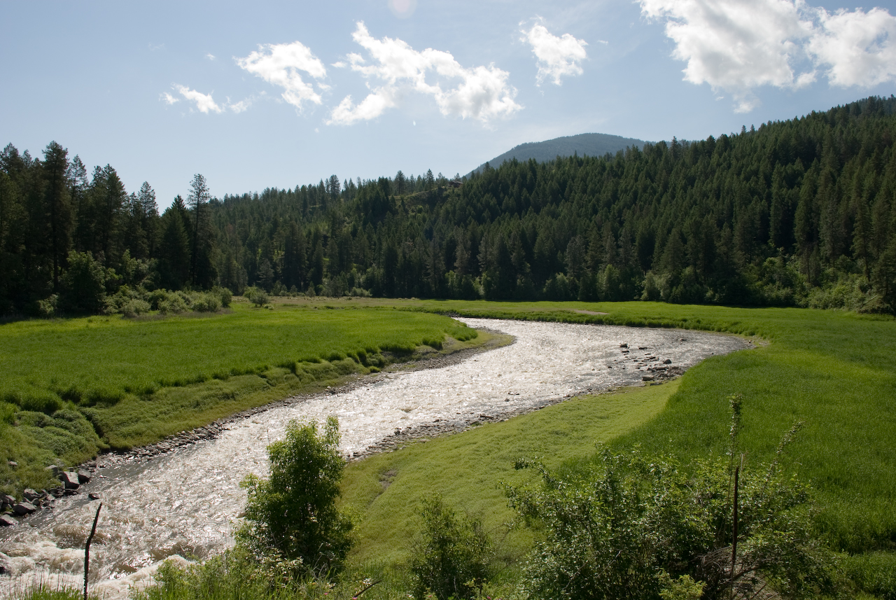
Colville River near Kettle Falls

2016-04-20 08;22;17
Topographic Map of Haag Cove Campground, Haag Rd, Kettle Falls, WA, USA
Find elevation by address:

Places near Haag Cove Campground, Haag Rd, Kettle Falls, WA, USA:
Rice
2007 Tate Rd
Jacknife Cutoff Road
47 Merritt Ln
Rainy Ridge Road
Graves Mountain
3151 Miles Rd
3304 Miles Rd
Inchelium
3086 Hungry Hill Rd
Round Lake
Sherman Pass
Pierre Lake Campground
Copper Butte
15 Stray Dog Canyon Rd
Ferry County
Little Boulder Creek Road
Marble Mountain
Rocky Mountain
Togo Mountain
Recent Searches:
- Elevation of Rojo Ct, Atascadero, CA, USA
- Elevation of Flagstaff Drive, Flagstaff Dr, North Carolina, USA
- Elevation of Avery Ln, Lakeland, FL, USA
- Elevation of Woolwine, VA, USA
- Elevation of Lumagwas Diversified Farmers Multi-Purpose Cooperative, Lumagwas, Adtuyon, RV32+MH7, Pangantucan, Bukidnon, Philippines
- Elevation of Homestead Ridge, New Braunfels, TX, USA
- Elevation of Orchard Road, Orchard Rd, Marlborough, NY, USA
- Elevation of 12 Hutchinson Woods Dr, Fletcher, NC, USA
- Elevation of Holloway Ave, San Francisco, CA, USA
- Elevation of Norfolk, NY, USA