Elevation of 15 Stray Dog Canyon Rd, Inchelium, WA, USA
Location: United States > Washington > Ferry County > Inchelium >
Longitude: -118.21649
Latitude: 48.2145315
Elevation: 565m / 1854feet
Barometric Pressure: 95KPa
Elevation Map:
Satellite Map:
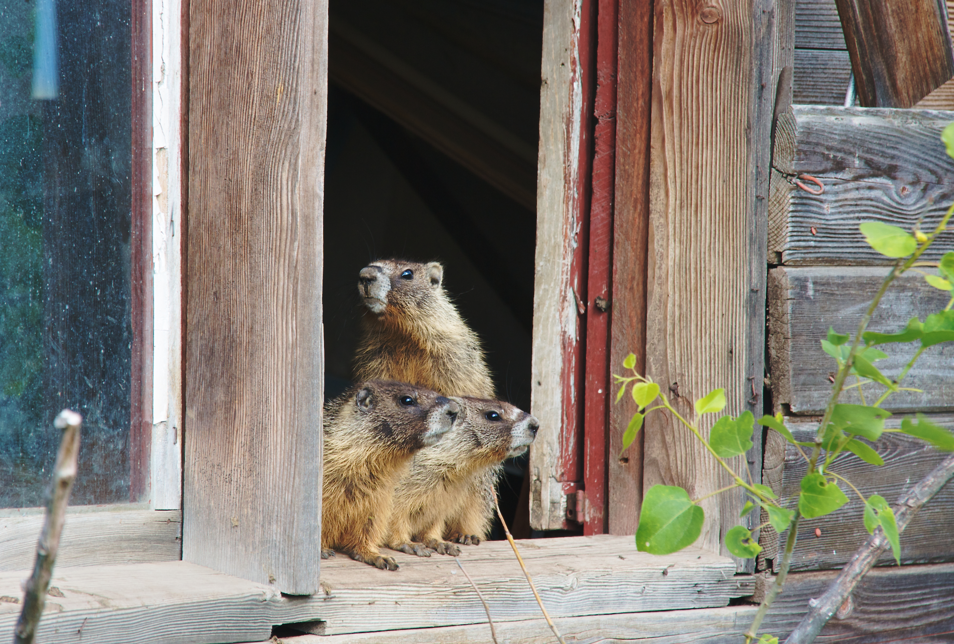
Related Photos:

Morning Calm
A room with a view.

Spring Fishing
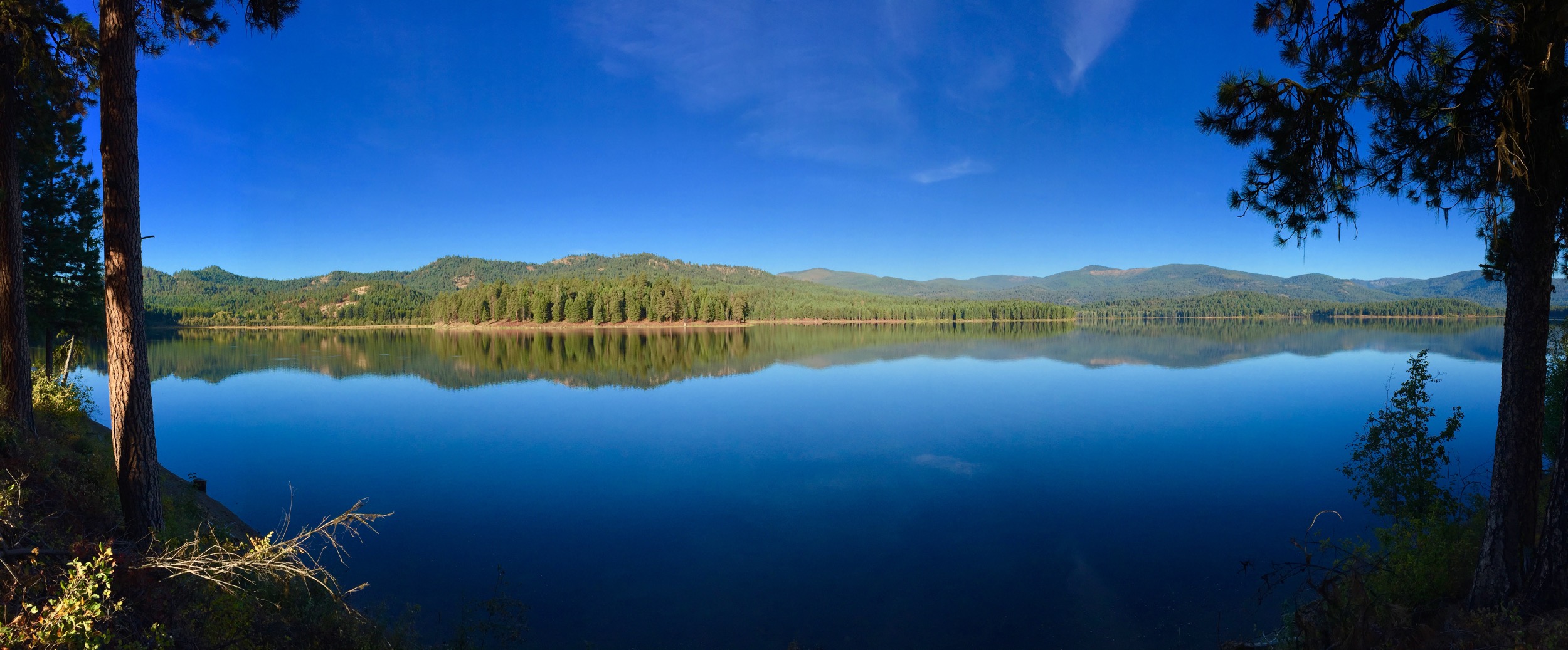
South Twin Pano

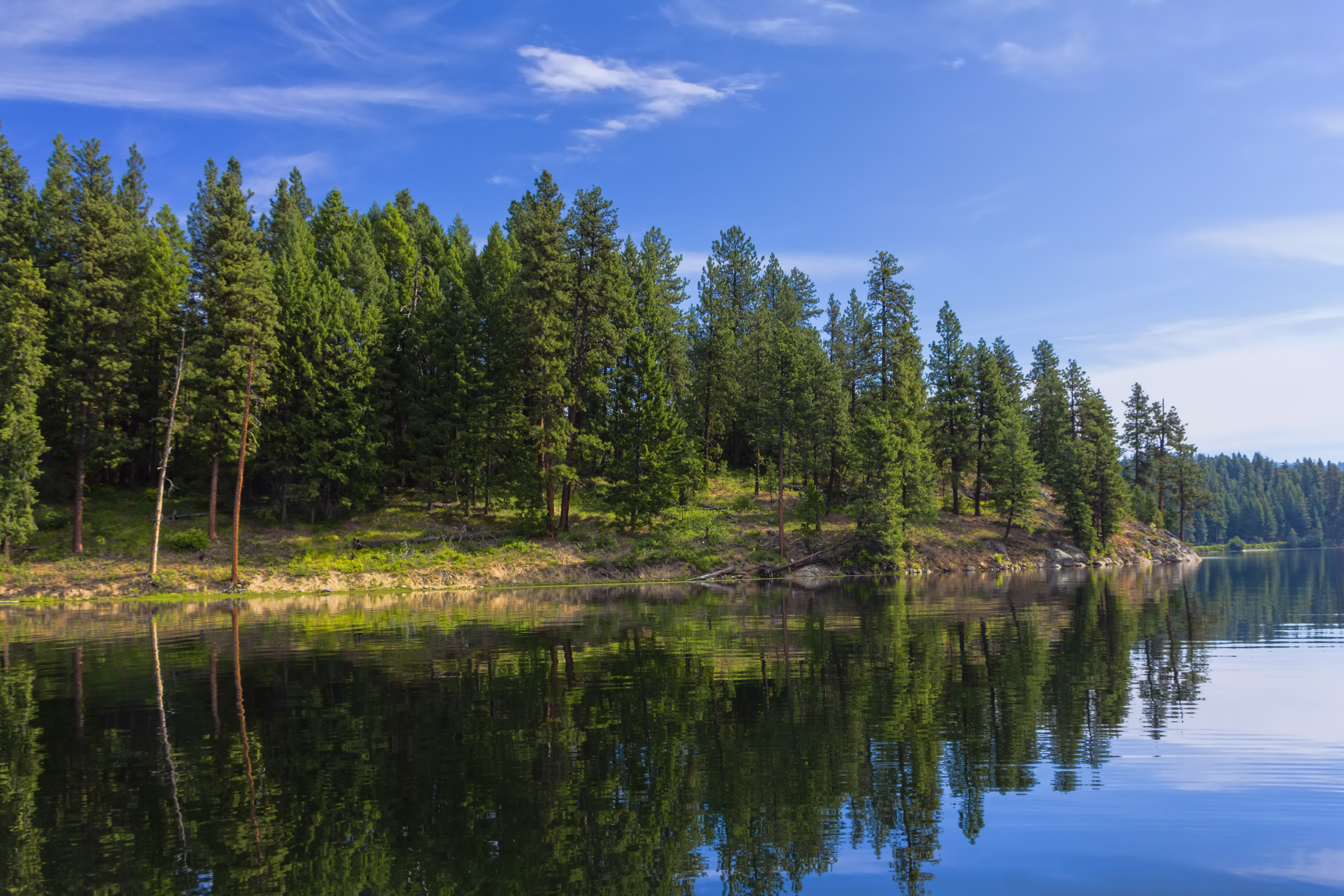
Forest Reflection
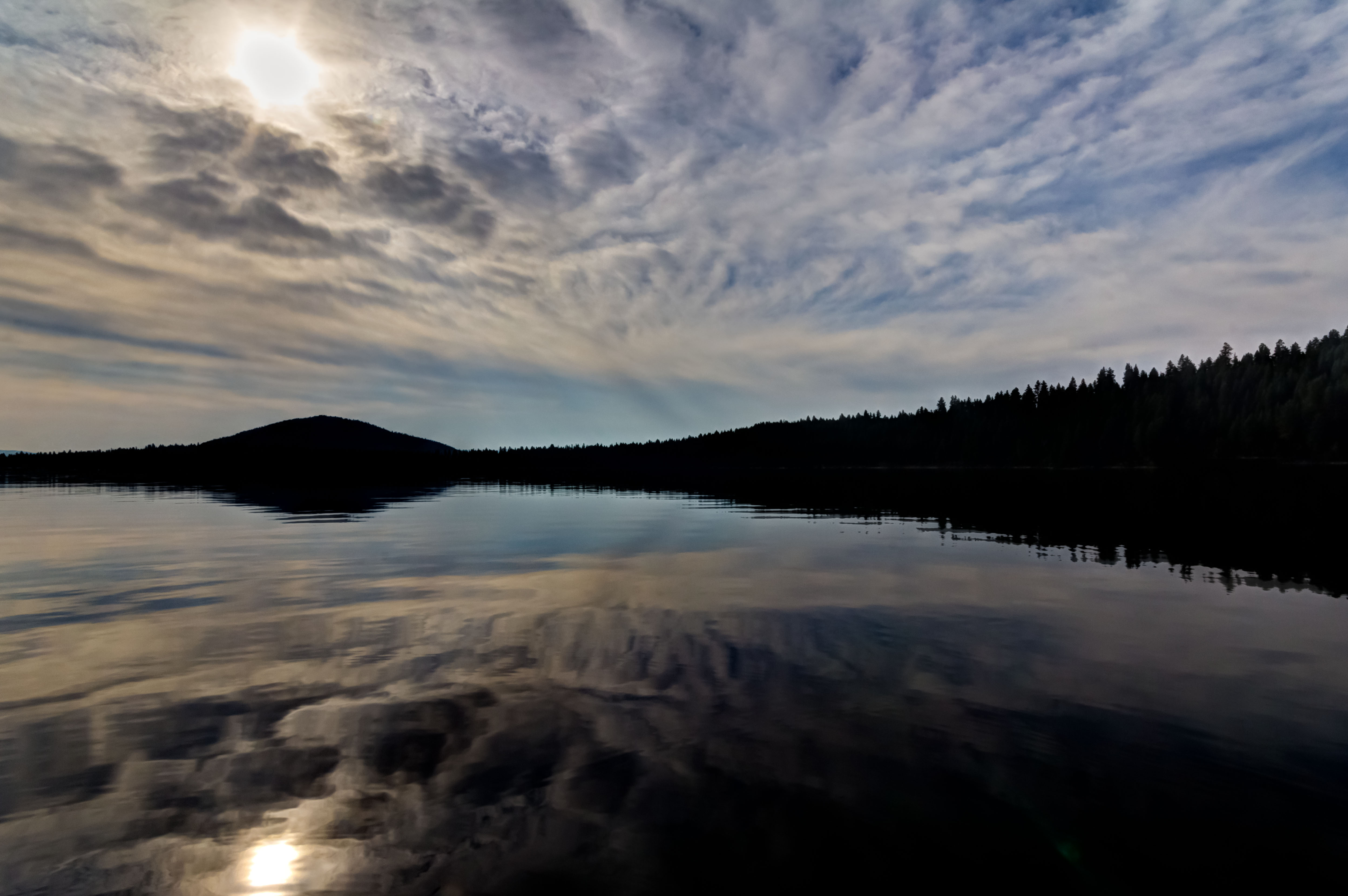
Overcast Reflection

Twin Lakes Reservoir Creek

Stairs [Explored 09-01-12]

Morning flight

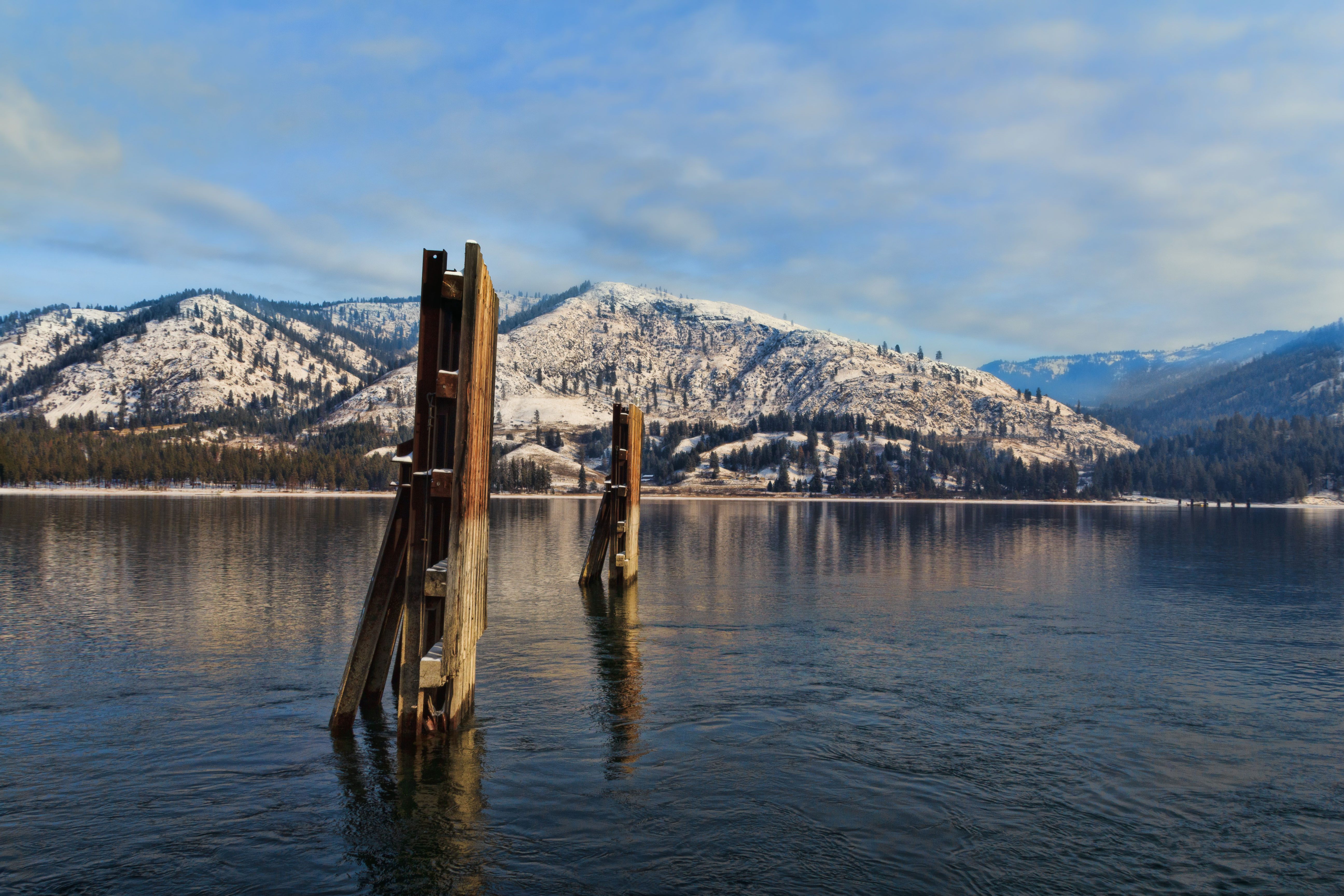
Winter Sun

Blue Moon
Winter Ferry run

The storm came

Sunrise on the Lake

Morning on the channel
Rocky Point

Moon over the Lake II

Sky & Field

Across the Hills

Grass and Sky

Grazing in Beauty

Blue Loon

Blue Moon
Topographic Map of 15 Stray Dog Canyon Rd, Inchelium, WA, USA
Find elevation by address:

Places near 15 Stray Dog Canyon Rd, Inchelium, WA, USA:
Inchelium
Hunters
3304 Miles Rd
Round Lake
3151 Miles Rd
Fruitland
6119 Enterprise Rd
2007 Tate Rd
Rice
Rainy Ridge Road
6271 Miller Mountain Rd
Haag Cove Campground
Deer Meadows
Ferry County
Lincoln
Graves Mountain
Sherman Pass
Jacknife Cutoff Road
Martin Canyon Road North
47 Merritt Ln
Recent Searches:
- Elevation of Côte-des-Neiges, Montreal, QC H4A 3J6, Canada
- Elevation of Bobcat Dr, Helena, MT, USA
- Elevation of Zu den Ihlowbergen, Althüttendorf, Germany
- Elevation of Badaber, Peshawar, Khyber Pakhtunkhwa, Pakistan
- Elevation of SE Heron Loop, Lincoln City, OR, USA
- Elevation of Slanický ostrov, 01 Námestovo, Slovakia
- Elevation of Spaceport America, Co Rd A, Truth or Consequences, NM, USA
- Elevation of Warwick, RI, USA
- Elevation of Fern Rd, Whitmore, CA, USA
- Elevation of 62 Abbey St, Marshfield, MA, USA