Elevation of Reed Township, AR, USA
Location: United States > Arkansas > Washington County >
Longitude: -93.977638
Latitude: 35.8386989
Elevation: 529m / 1736feet
Barometric Pressure: 95KPa
Elevation Map:
Satellite Map:
Related Photos:
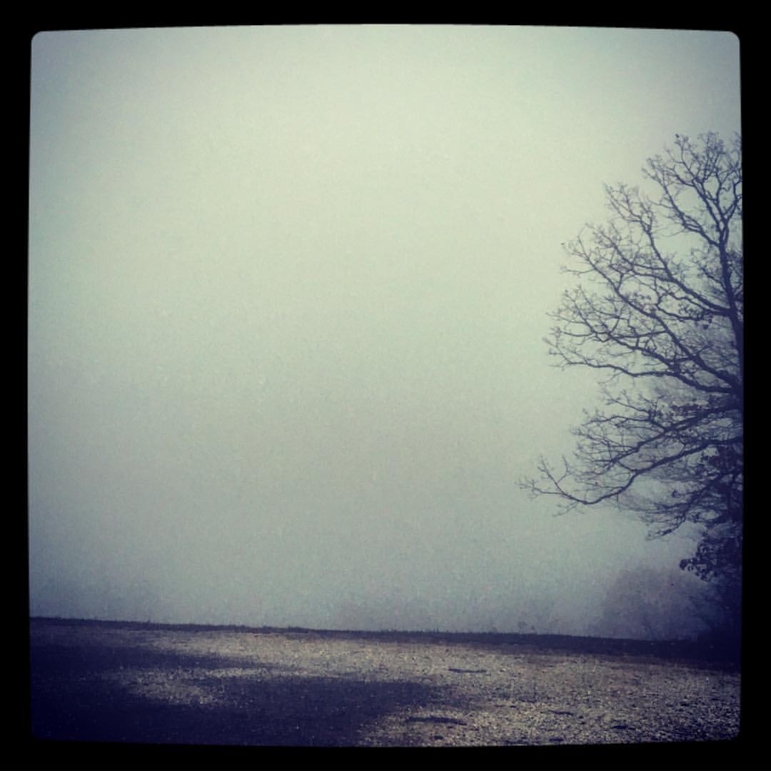
took the scenic route from Fayetteville to Ft. Smith so I could stop and take in my favorite view -- I got this fog and a scary drive instead. ????
"It's gonna get a little smokey..."

Red Bridge
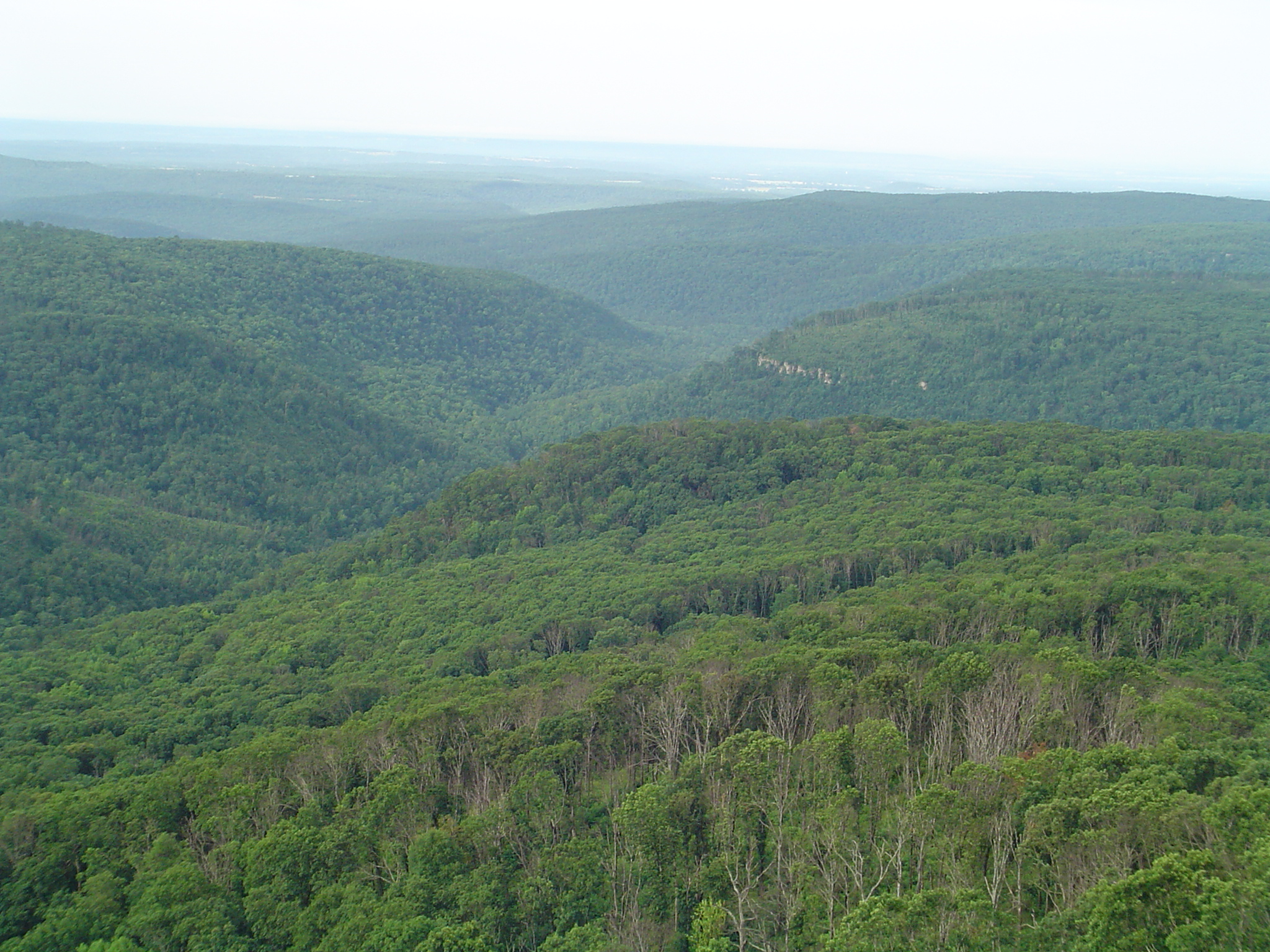
White Rock Senic View
Hanging out on the side of the road.

White Rock Mountain 3
White Rock Mountain 2
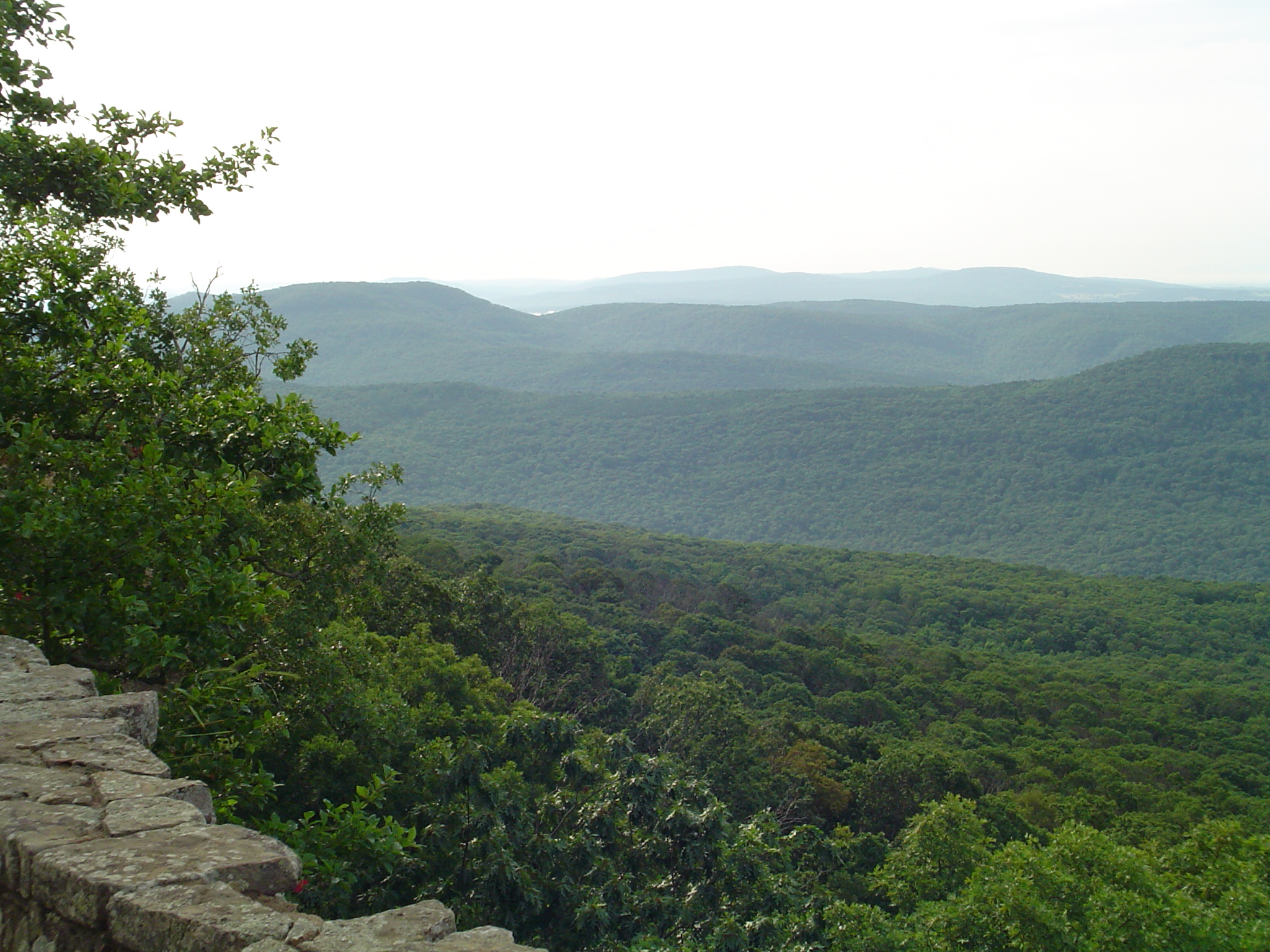
White Rock Mountain
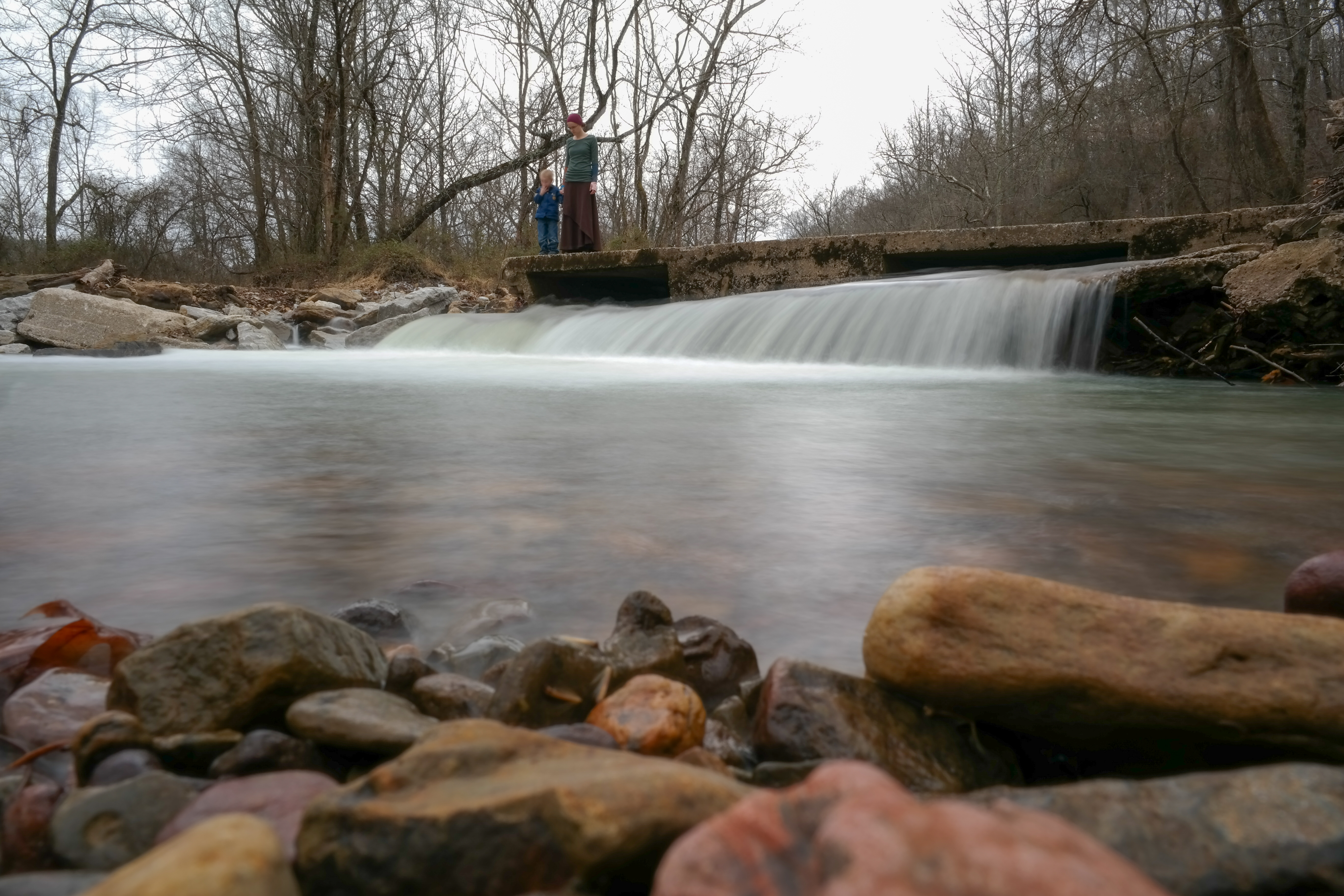
On Top of the Fall
Snow Melt Long 2
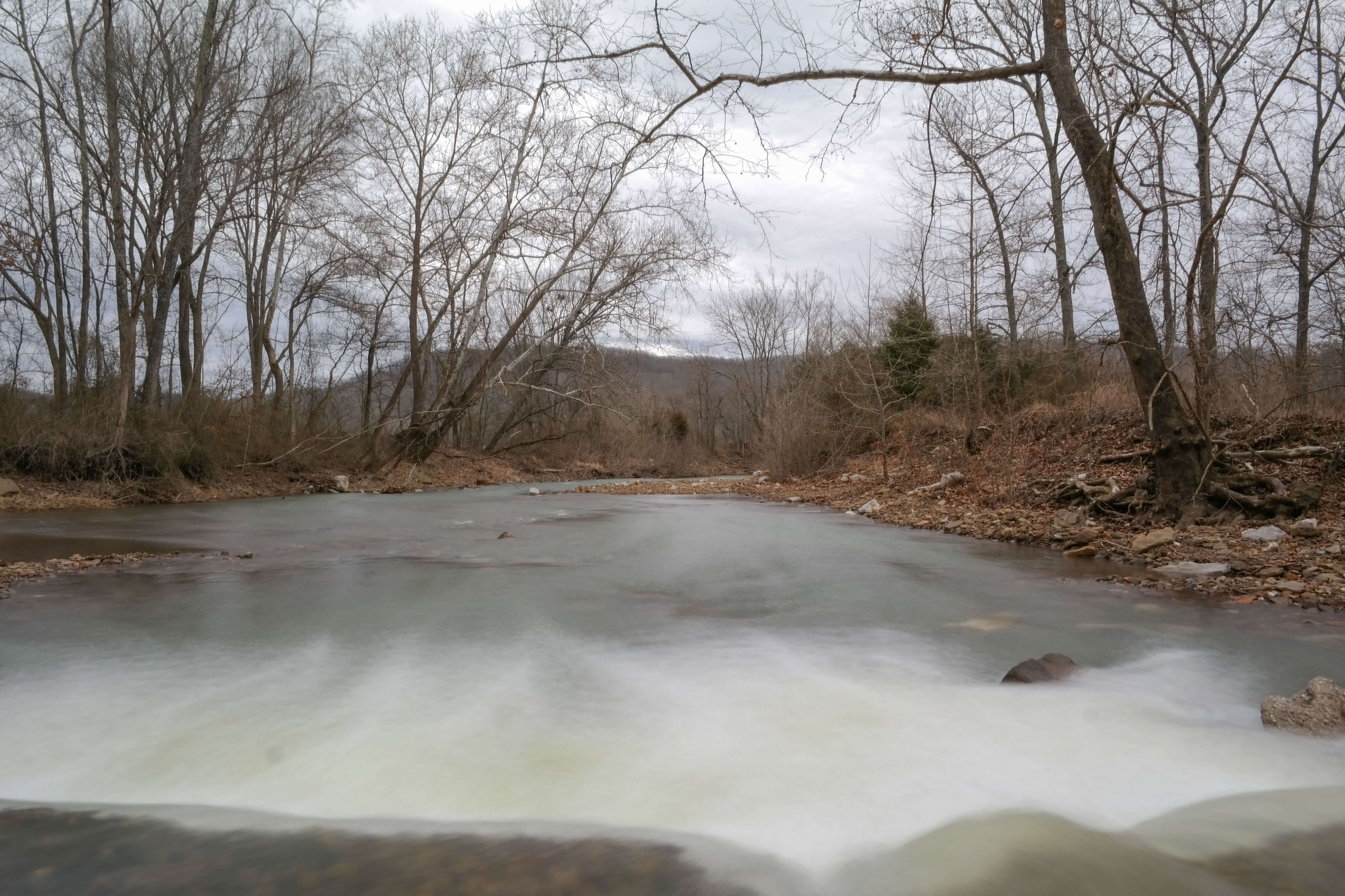
Snow Melt Long
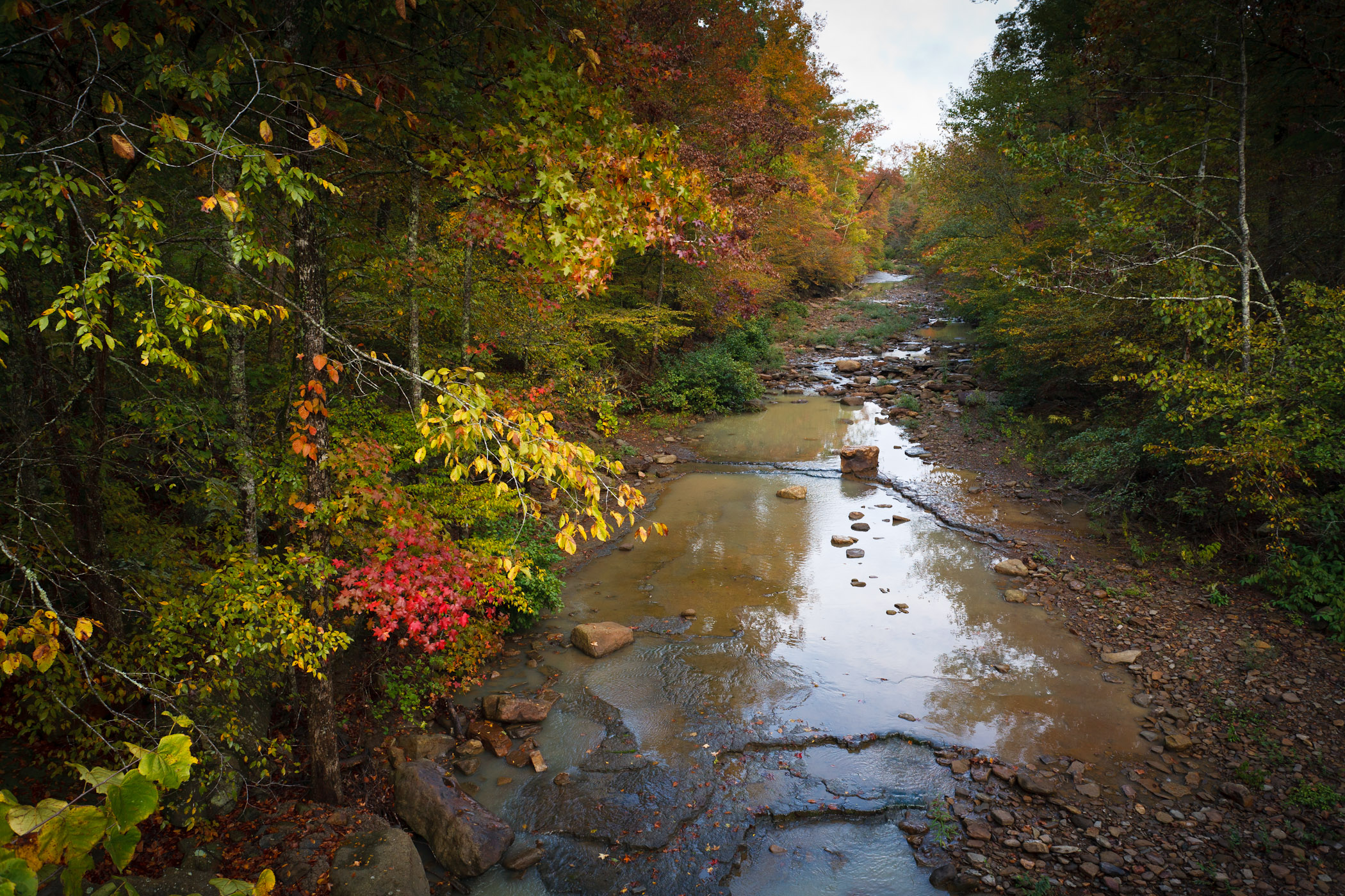
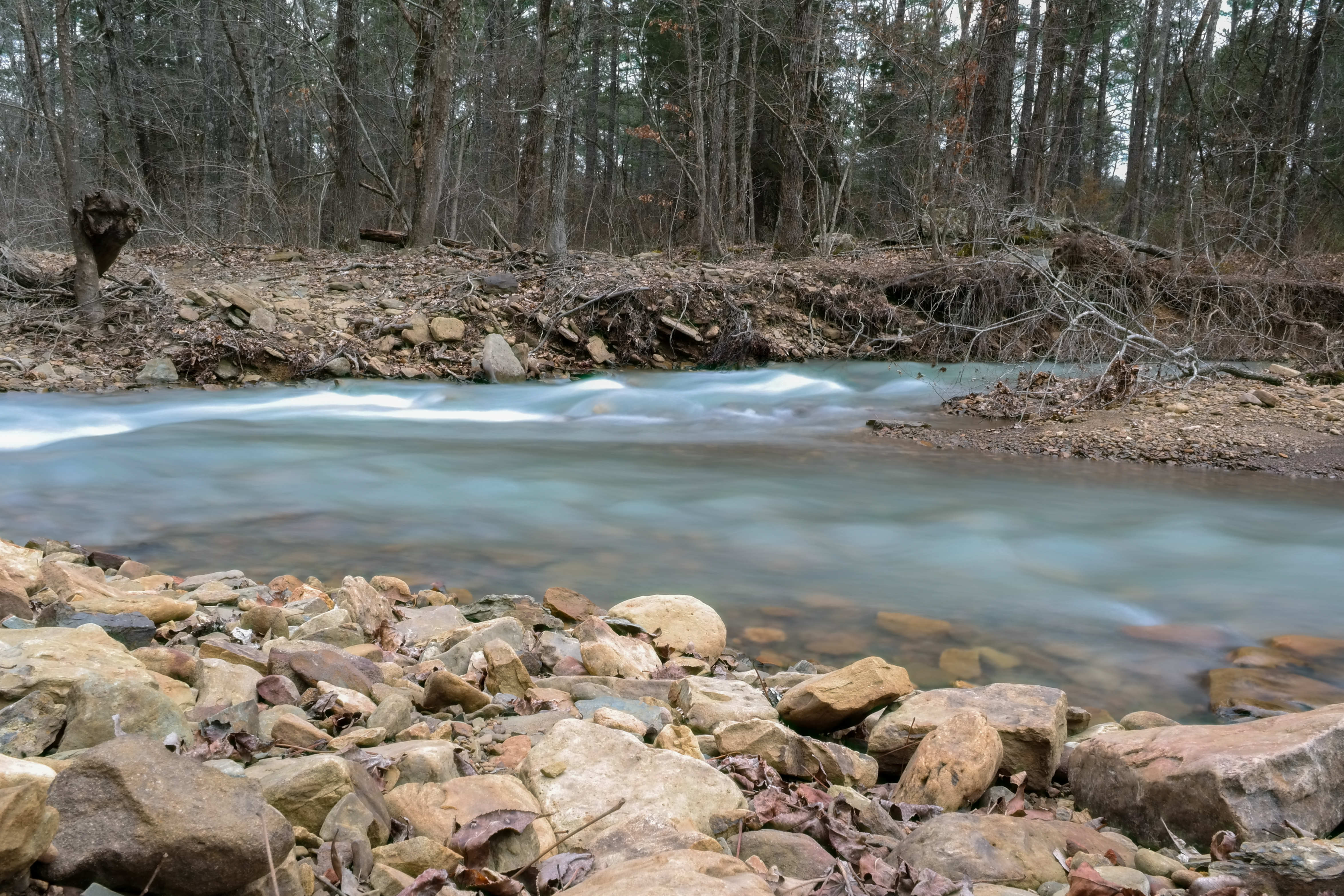
Hurricane Creek
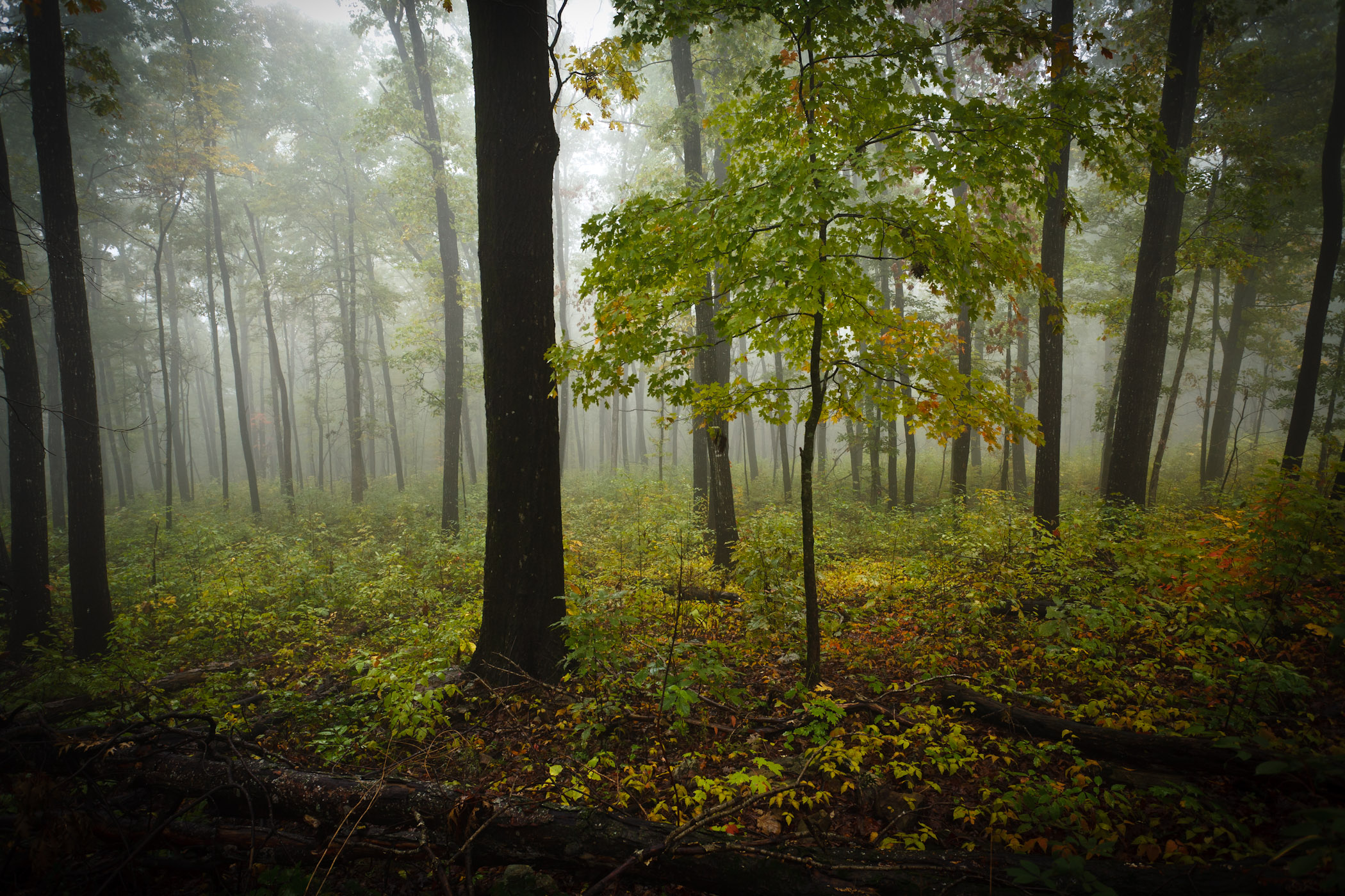
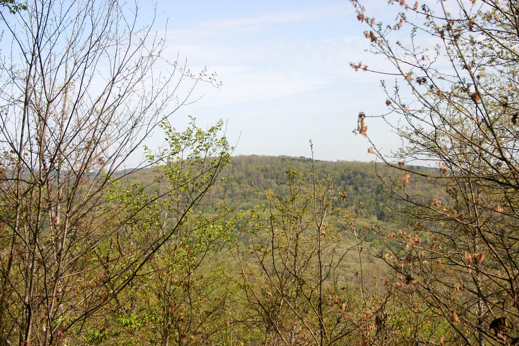
Foggy Trees
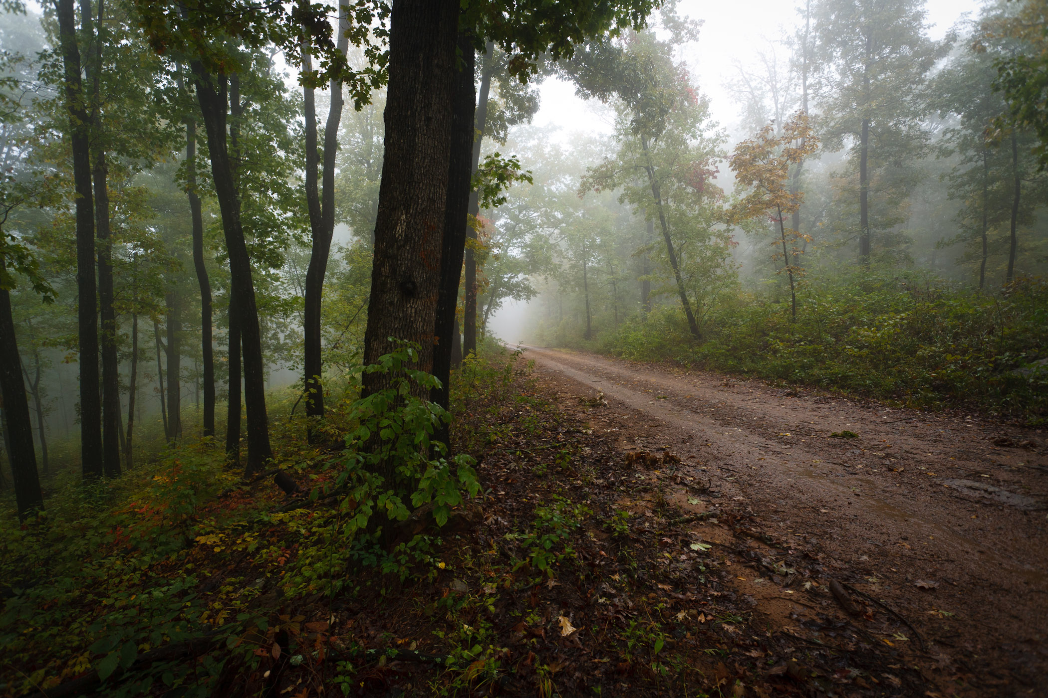
Foggy Road
Topographic Map of Reed Township, AR, USA
Find elevation by address:

Places in Reed Township, AR, USA:
Places near Reed Township, AR, USA:
20441 Shackelford Rd
17776 Brannon Mountain Rd
17776 Brannon Mountain Rd
17776 Brannon Mountain Rd
17776 Brannon Mountain Rd
17776 Brannon Mountain Rd
Valley Township
AR-, Elkins, AR, USA
2084 Madison 4035
581 Madison 5520
18847 Hazel Valley Rd
1626 Madison 4035
626 Madison 4035
Madison, Elkins, AR, USA
Madison, Elkins, AR, USA
17160 Winfrey Valley Rd
3068 Madison 4147
16710 Ar-74
AR-16, Elkins, AR, USA
Bidville Rd, Winslow, AR, USA
Recent Searches:
- Elevation of Shibuya Scramble Crossing, 21 Udagawacho, Shibuya City, Tokyo -, Japan
- Elevation of Jadagoniai, Kaunas District Municipality, Lithuania
- Elevation of Pagonija rock, Kranto 7-oji g. 8"N, Kaunas, Lithuania
- Elevation of Co Rd 87, Jamestown, CO, USA
- Elevation of Tenjo, Cundinamarca, Colombia
- Elevation of Côte-des-Neiges, Montreal, QC H4A 3J6, Canada
- Elevation of Bobcat Dr, Helena, MT, USA
- Elevation of Zu den Ihlowbergen, Althüttendorf, Germany
- Elevation of Badaber, Peshawar, Khyber Pakhtunkhwa, Pakistan
- Elevation of SE Heron Loop, Lincoln City, OR, USA