Elevation of Hazel Valley Rd, Fayetteville, AR, USA
Location: United States > Arkansas > Washington County > Reed Township >
Longitude: -93.991252
Latitude: 35.861605
Elevation: 469m / 1539feet
Barometric Pressure: 96KPa
Elevation Map:
Satellite Map:
Related Photos:

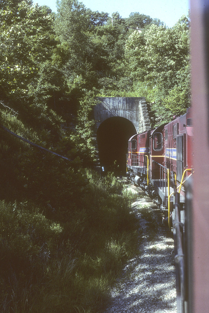
Red Bridge

took the scenic route from Fayetteville to Ft. Smith so I could stop and take in my favorite view -- I got this fog and a scary drive instead. ????
"It's gonna get a little smokey..."

Front Porch View

Hanging out on the side of the road.

White Rock Mountain 3
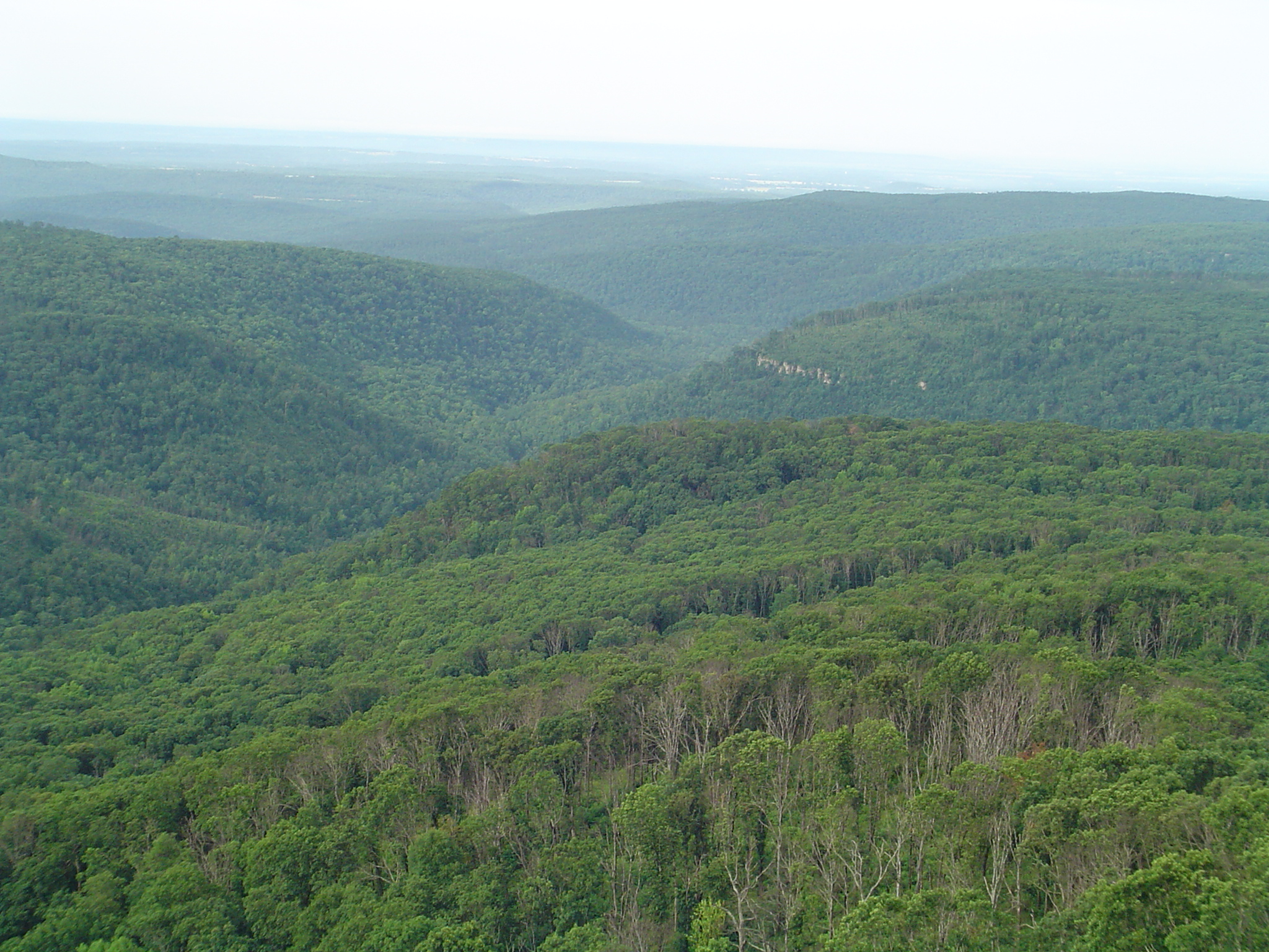
White Rock Mountain 2
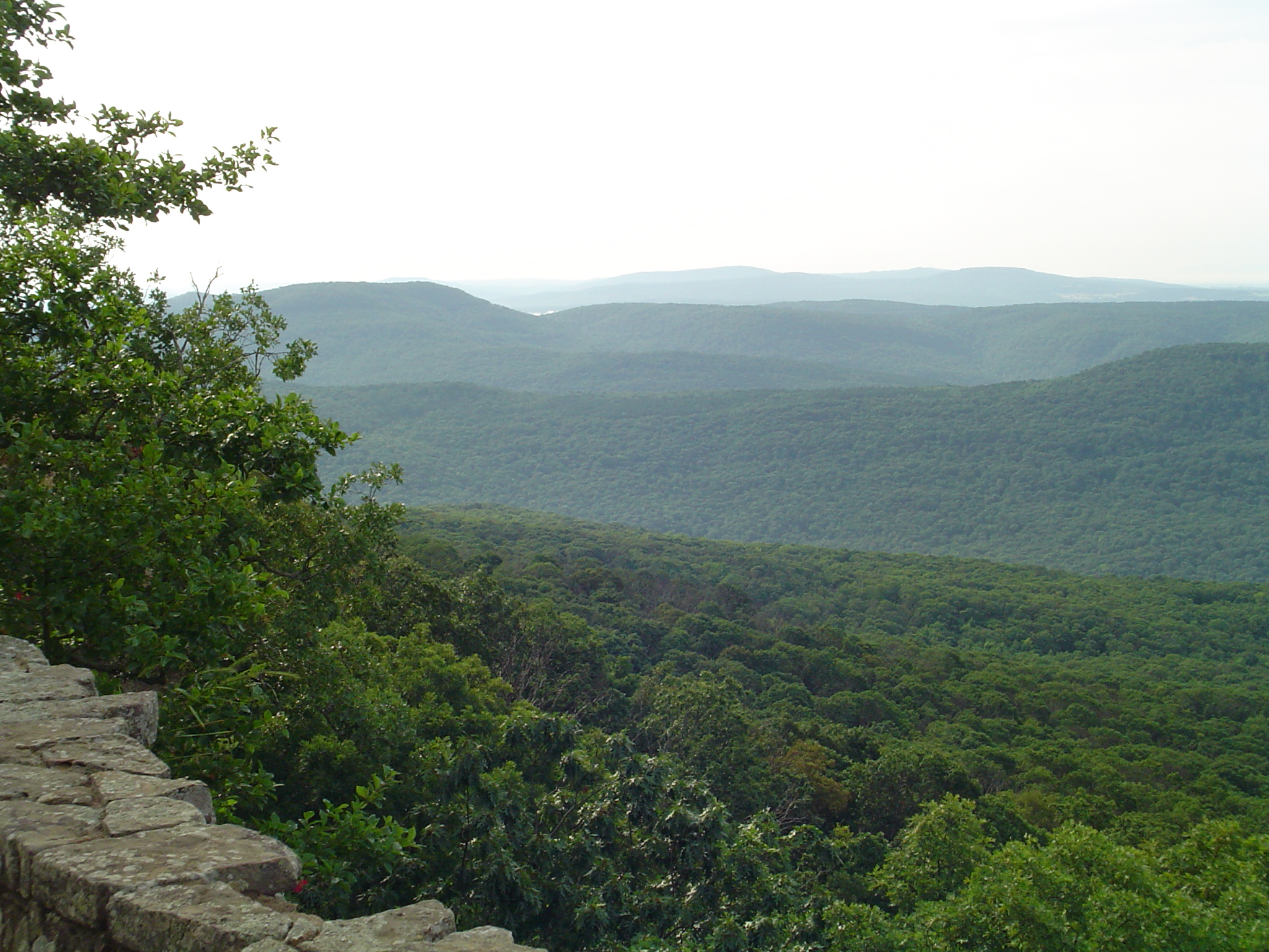
White Rock Mountain
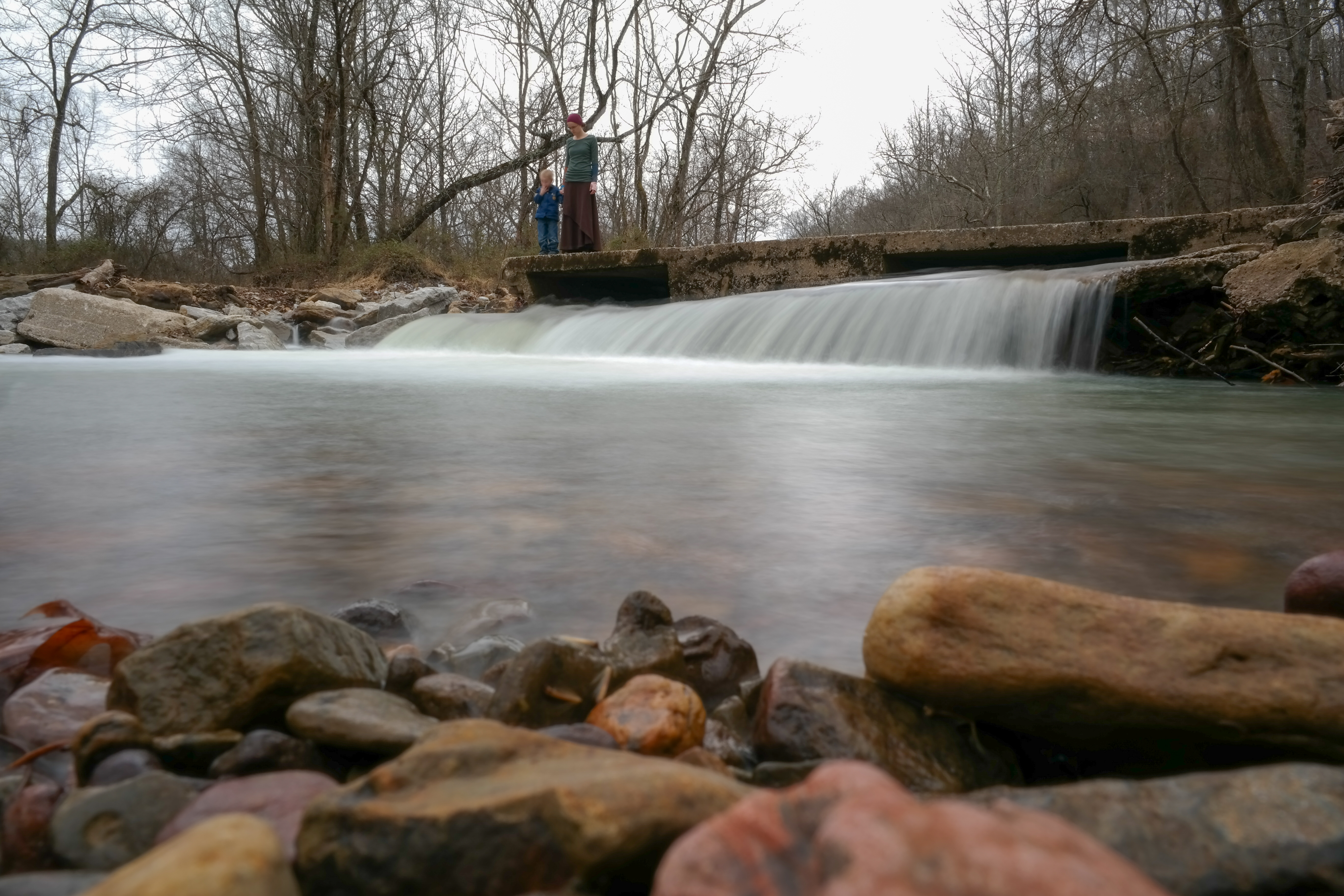
On Top of the Fall
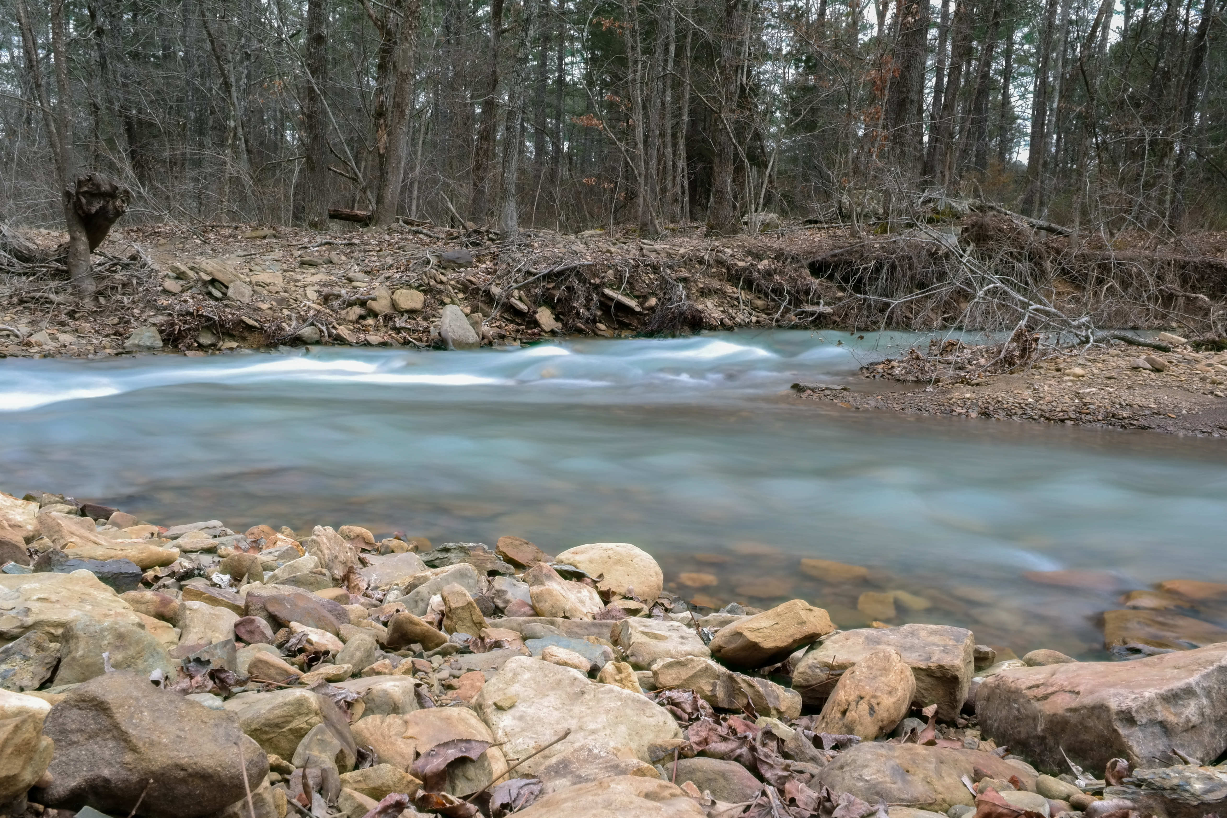
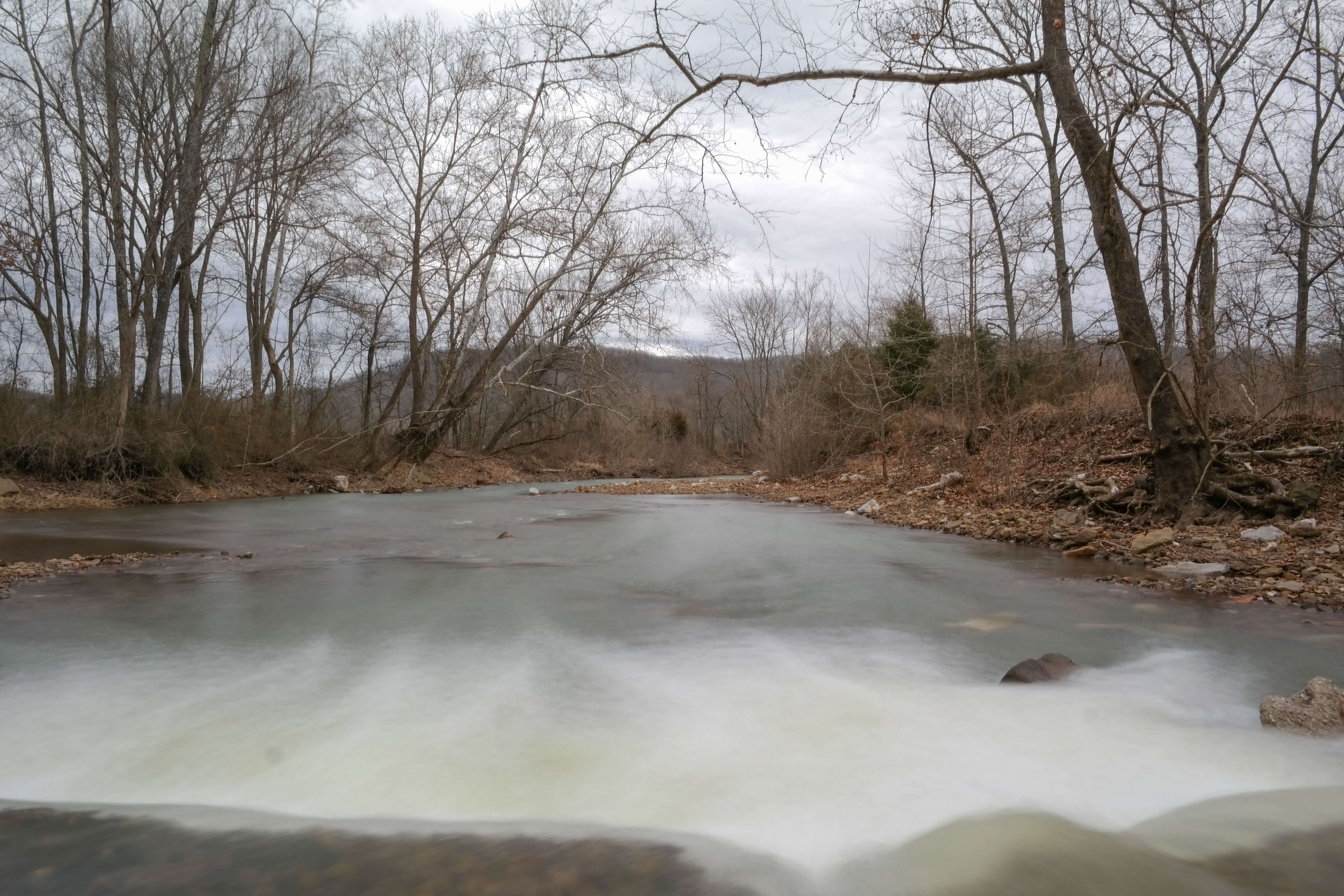
Snow Melt Long 2
Snow Melt Long
Topographic Map of Hazel Valley Rd, Fayetteville, AR, USA
Find elevation by address:

Places near Hazel Valley Rd, Fayetteville, AR, USA:
Brannon Mountain Road
S Whitehouse Rd, Fayetteville, AR, USA
717 Ar-16
717 Ar-16
Crosses
Crosses
Madison, Elkins, AR, USA
S Whitehouse Rd, Fayetteville, AR, USA
Crawford Township
1795 Madison 5185
White River Township
5045 Madison 5185
Elkins, AR, USA
White River Township
14432 Truelove Road
Elkins
11204 E Mt Olive Rd
Mt Olive Rd, Elkins, AR, USA
Elkins Township
1901 Willow Oak
Recent Searches:
- Elevation of Dog Leg Dr, Minden, NV, USA
- Elevation of Dog Leg Dr, Minden, NV, USA
- Elevation of Kambingan Sa Pansol Atbp., Purok 7 Pansol, Candaba, Pampanga, Philippines
- Elevation of Pinewood Dr, New Bern, NC, USA
- Elevation of Mountain View, CA, USA
- Elevation of Foligno, Province of Perugia, Italy
- Elevation of Blauwestad, Netherlands
- Elevation of Bella Terra Blvd, Estero, FL, USA
- Elevation of Estates Loop, Priest River, ID, USA
- Elevation of Woodland Oak Pl, Thousand Oaks, CA, USA