Elevation of Crawford Township, AR, USA
Location: United States > Arkansas > Washington County >
Longitude: -94.089991
Latitude: 35.8675962
Elevation: 560m / 1837feet
Barometric Pressure: 95KPa
Elevation Map:
Satellite Map:
Related Photos:
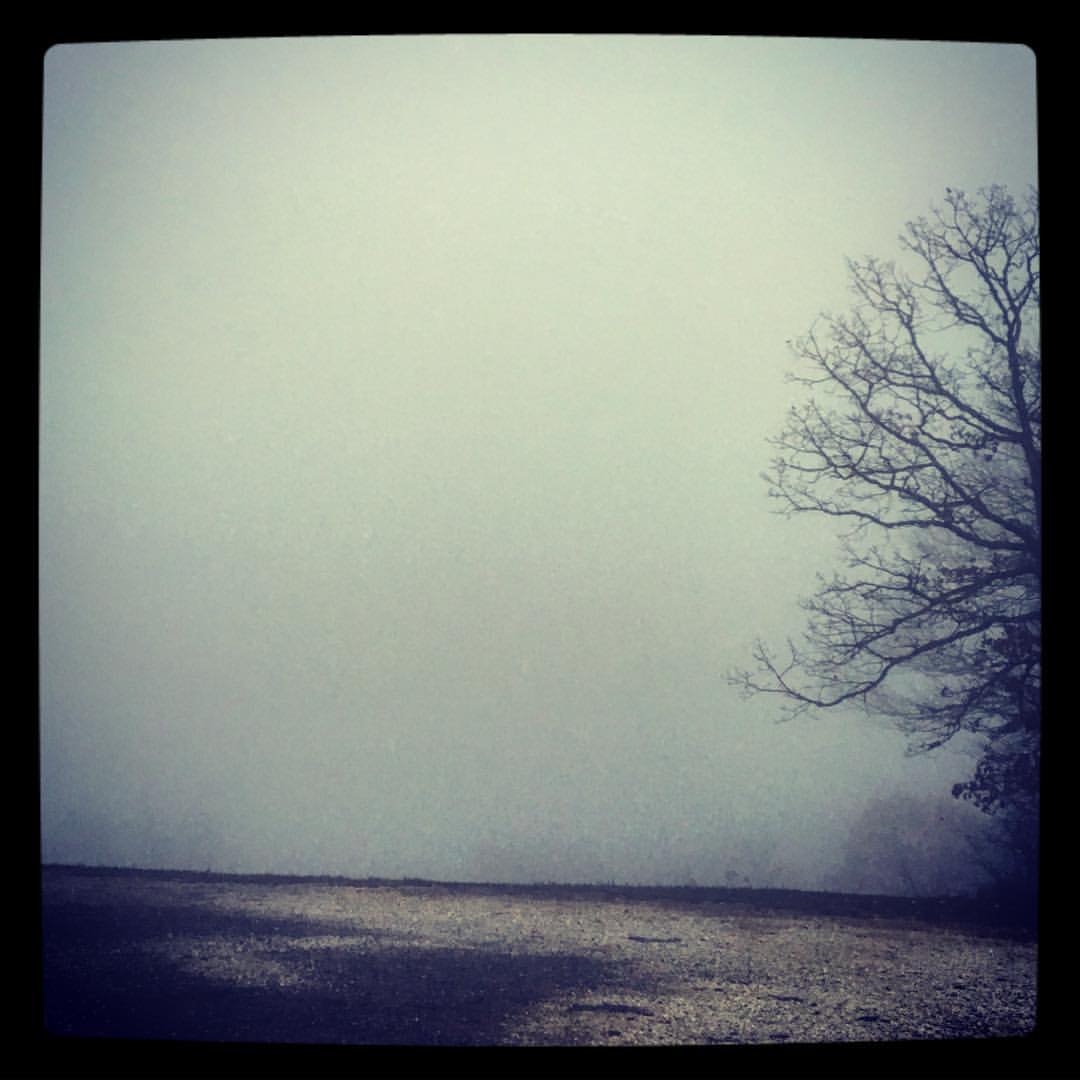
took the scenic route from Fayetteville to Ft. Smith so I could stop and take in my favorite view -- I got this fog and a scary drive instead. ????
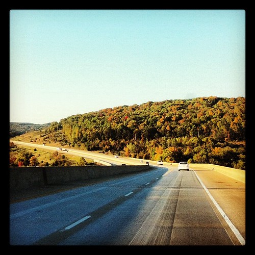
Almost home... My jammies are calling. #triptophilly
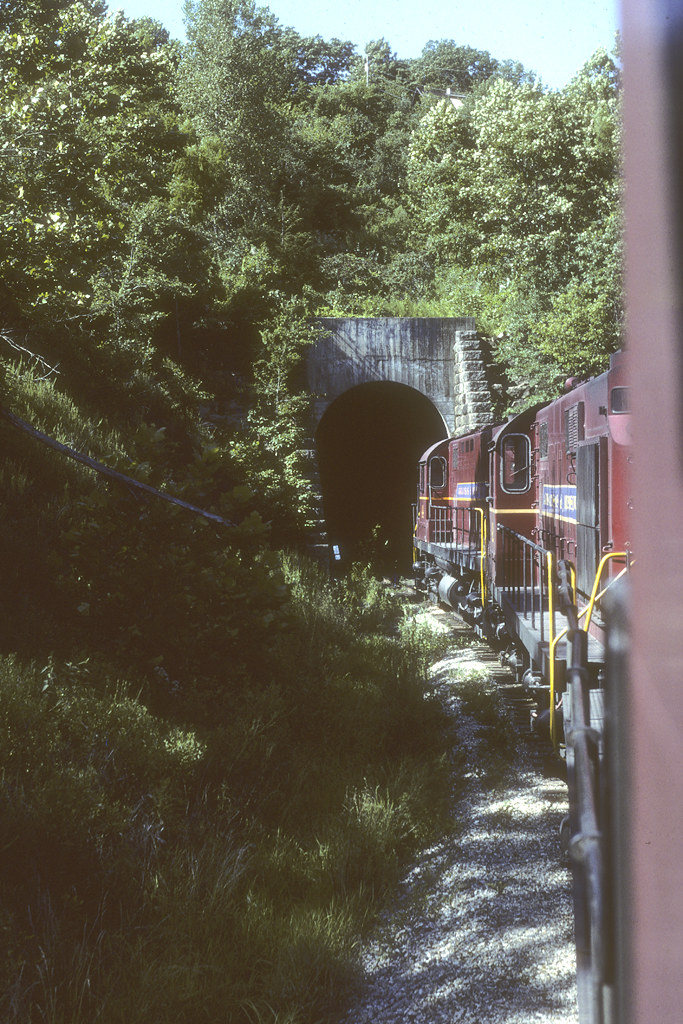
"It's gonna get a little smokey..."
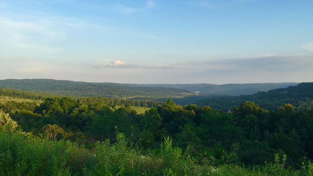
View from outside the Devils Den looking into valley.

Red Bridge

Front Porch View
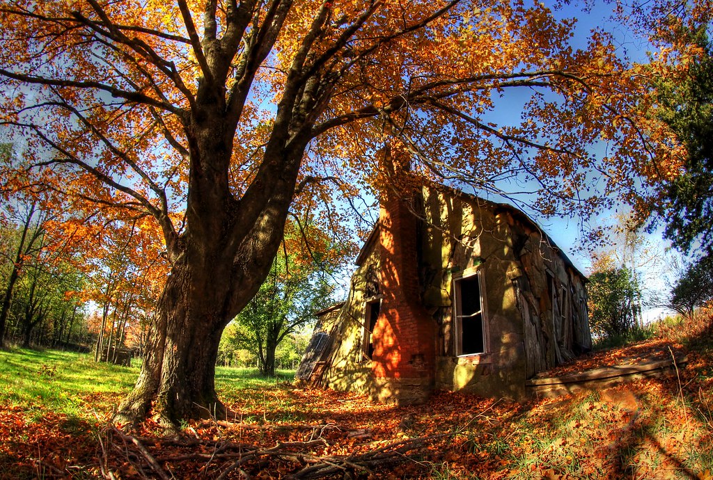
Still standing
????????????

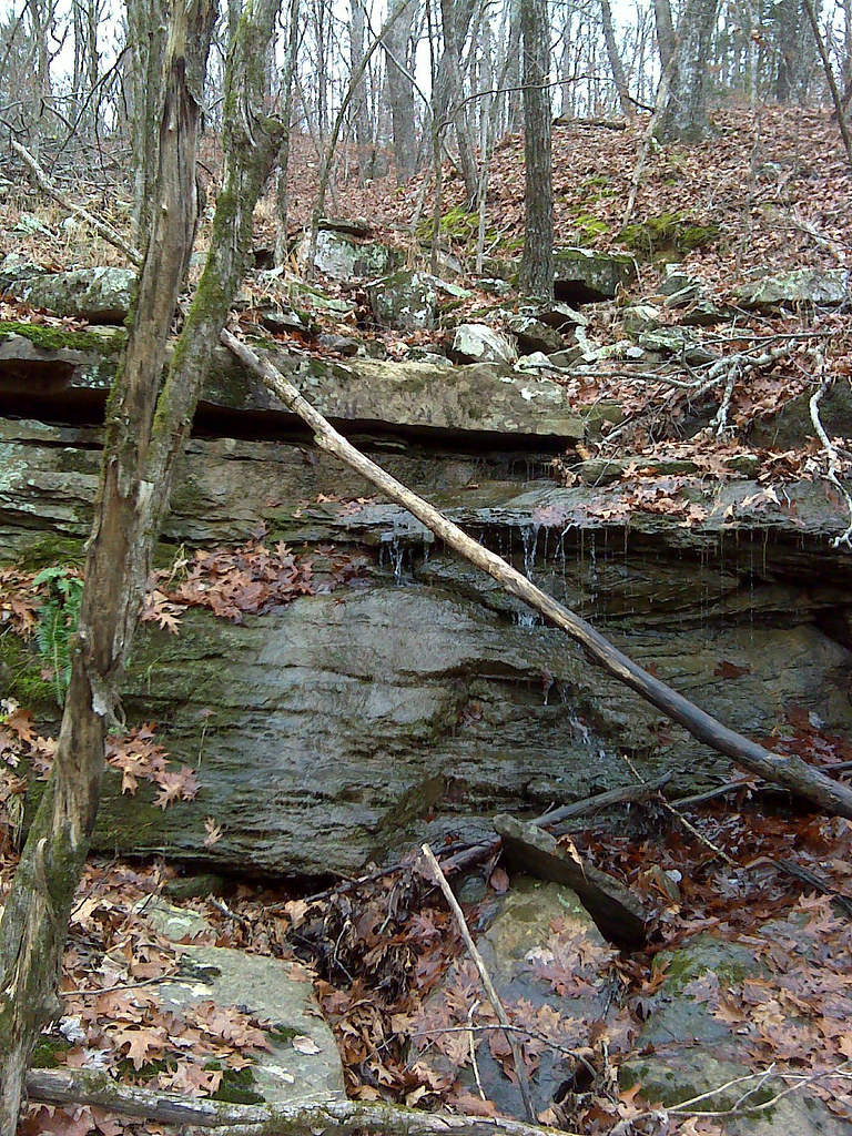
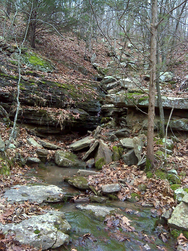
Mossy Bark

Finding Shelter in your Shade
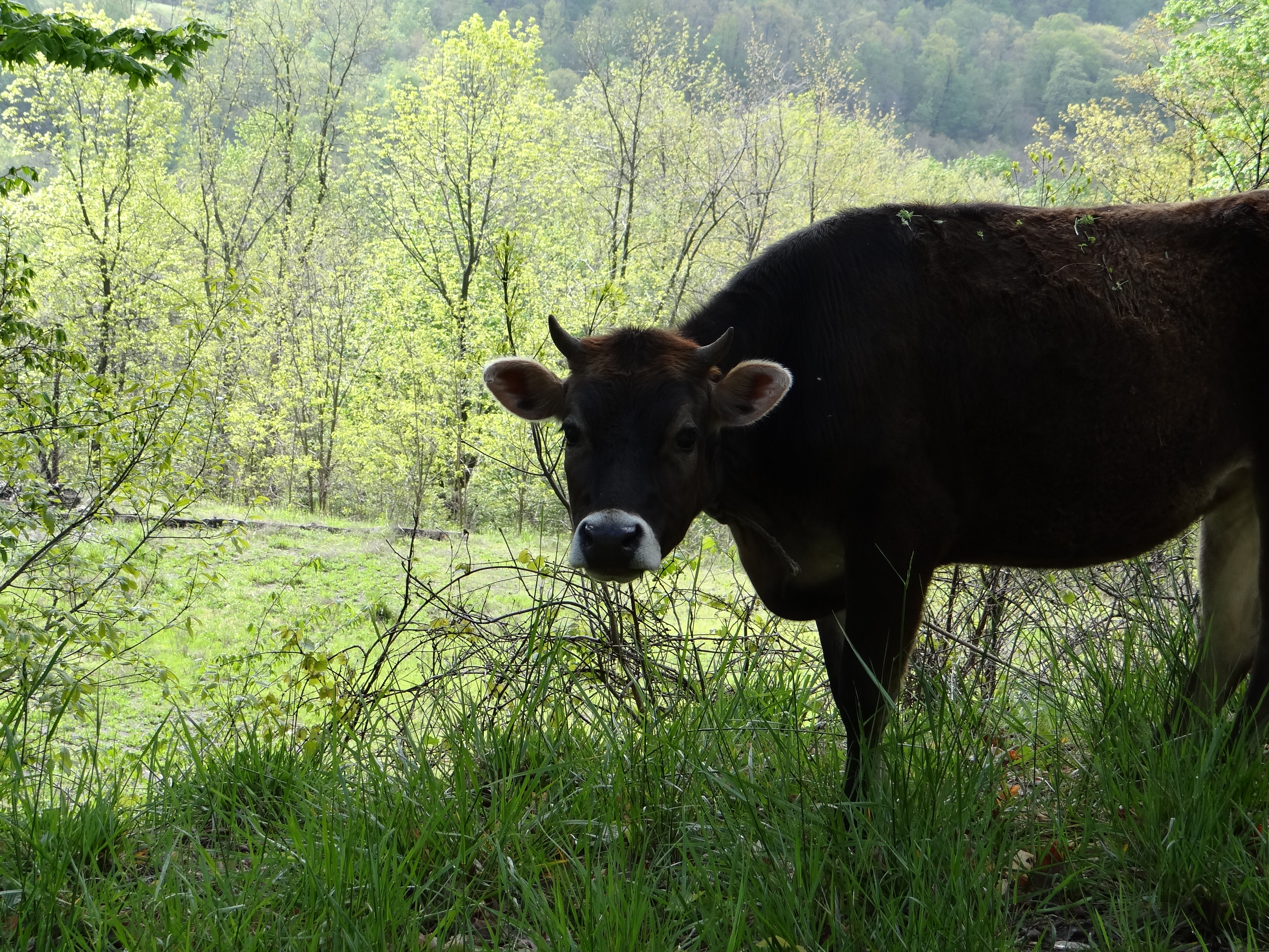
Hanging out on the side of the road.
DSC00095.jpg
DSC00094.jpg

West Fork Riverside_Park_20150621_002
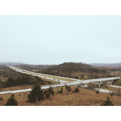
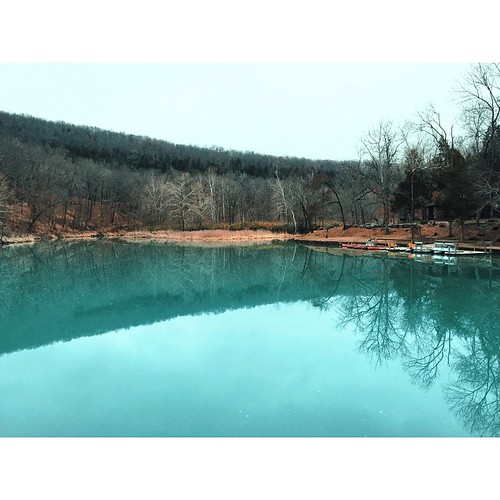
Northwest AR
Topographic Map of Crawford Township, AR, USA
Find elevation by address:

Places in Crawford Township, AR, USA:
Places near Crawford Township, AR, USA:
14432 Truelove Road
S Whitehouse Rd, Fayetteville, AR, USA
16536 Carpenter Rd
S Whitehouse Rd, Fayetteville, AR, USA
Woolsey Rd, West Fork, AR, USA
Washington County
West Fork Township
White River Township
Hazel Valley Rd, Fayetteville, AR, USA
129 W Main St
West Fork
Brannon Mountain Road
Prairie Township
S Harris Dr, Fayetteville, AR, USA
1 W Wilson St, Fayetteville, AR, USA
Greenland
Elkins
717 Ar-16
717 Ar-16
Greenland Township
Recent Searches:
- Elevation of Woodland Oak Pl, Thousand Oaks, CA, USA
- Elevation of Brownsdale Rd, Renfrew, PA, USA
- Elevation of Corcoran Ln, Suffolk, VA, USA
- Elevation of Mamala II, Sariaya, Quezon, Philippines
- Elevation of Sarangdanda, Nepal
- Elevation of 7 Waterfall Way, Tomball, TX, USA
- Elevation of SW 57th Ave, Portland, OR, USA
- Elevation of Crocker Dr, Vacaville, CA, USA
- Elevation of Pu Ngaol Community Meeting Hall, HWHM+3X7, Krong Saen Monourom, Cambodia
- Elevation of Royal Ontario Museum, Queens Park, Toronto, ON M5S 2C6, Canada