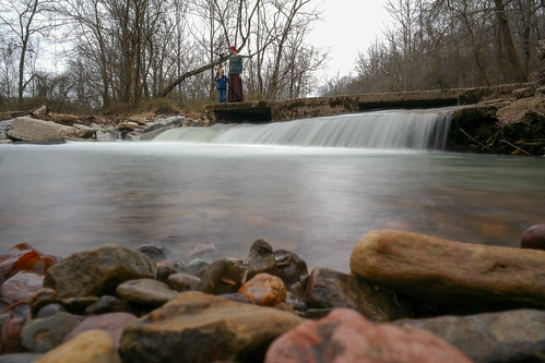
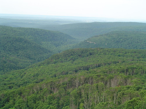
Elevation of Shackelford Rd, Fayetteville, AR, USA
Location: United States > Arkansas > Washington County > Reed Township >
Longitude: -93.983875
Latitude: 35.8525341
Elevation: 600m / 1968feet
Barometric Pressure: 94KPa
Related Photos:
Topographic Map of Shackelford Rd, Fayetteville, AR, USA
Find elevation by address:

Places near Shackelford Rd, Fayetteville, AR, USA:
Reed Township
17776 Brannon Mountain Rd
17776 Brannon Mountain Rd
17776 Brannon Mountain Rd
17776 Brannon Mountain Rd
17776 Brannon Mountain Rd
18847 Hazel Valley Rd
581 Madison 5520
Valley Township
AR-, Elkins, AR, USA
2084 Madison 4035
1626 Madison 4035
626 Madison 4035
Madison, Elkins, AR, USA
Madison, Elkins, AR, USA
16710 Ar-74
17160 Winfrey Valley Rd
3068 Madison 4147
AR-16, Elkins, AR, USA
Bidville Rd, Winslow, AR, USA
Recent Searches:
- Elevation of Congressional Dr, Stevensville, MD, USA
- Elevation of Bellview Rd, McLean, VA, USA
- Elevation of Stage Island Rd, Chatham, MA, USA
- Elevation of Shibuya Scramble Crossing, 21 Udagawacho, Shibuya City, Tokyo -, Japan
- Elevation of Jadagoniai, Kaunas District Municipality, Lithuania
- Elevation of Pagonija rock, Kranto 7-oji g. 8"N, Kaunas, Lithuania
- Elevation of Co Rd 87, Jamestown, CO, USA
- Elevation of Tenjo, Cundinamarca, Colombia
- Elevation of Côte-des-Neiges, Montreal, QC H4A 3J6, Canada
- Elevation of Bobcat Dr, Helena, MT, USA


